Updated Tuesday Morning Forecast — October 19th, 2021

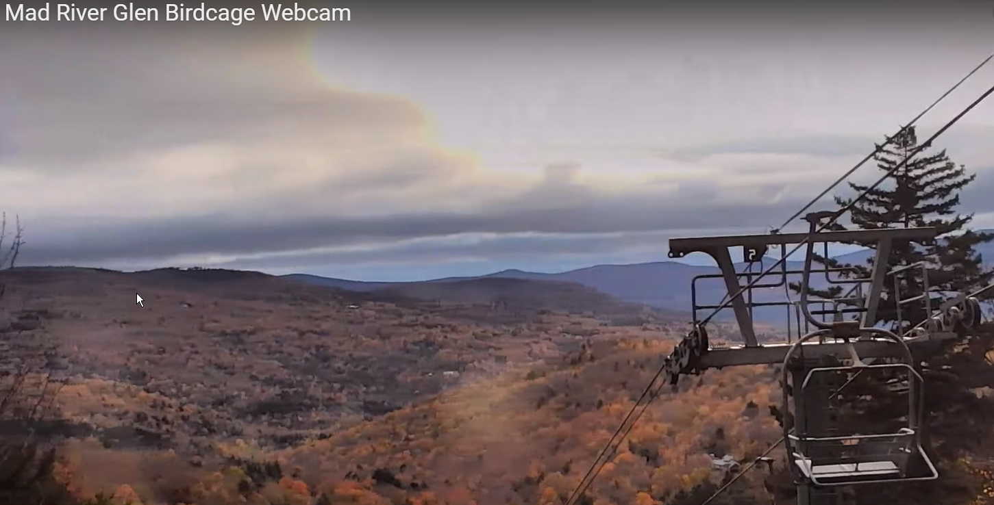
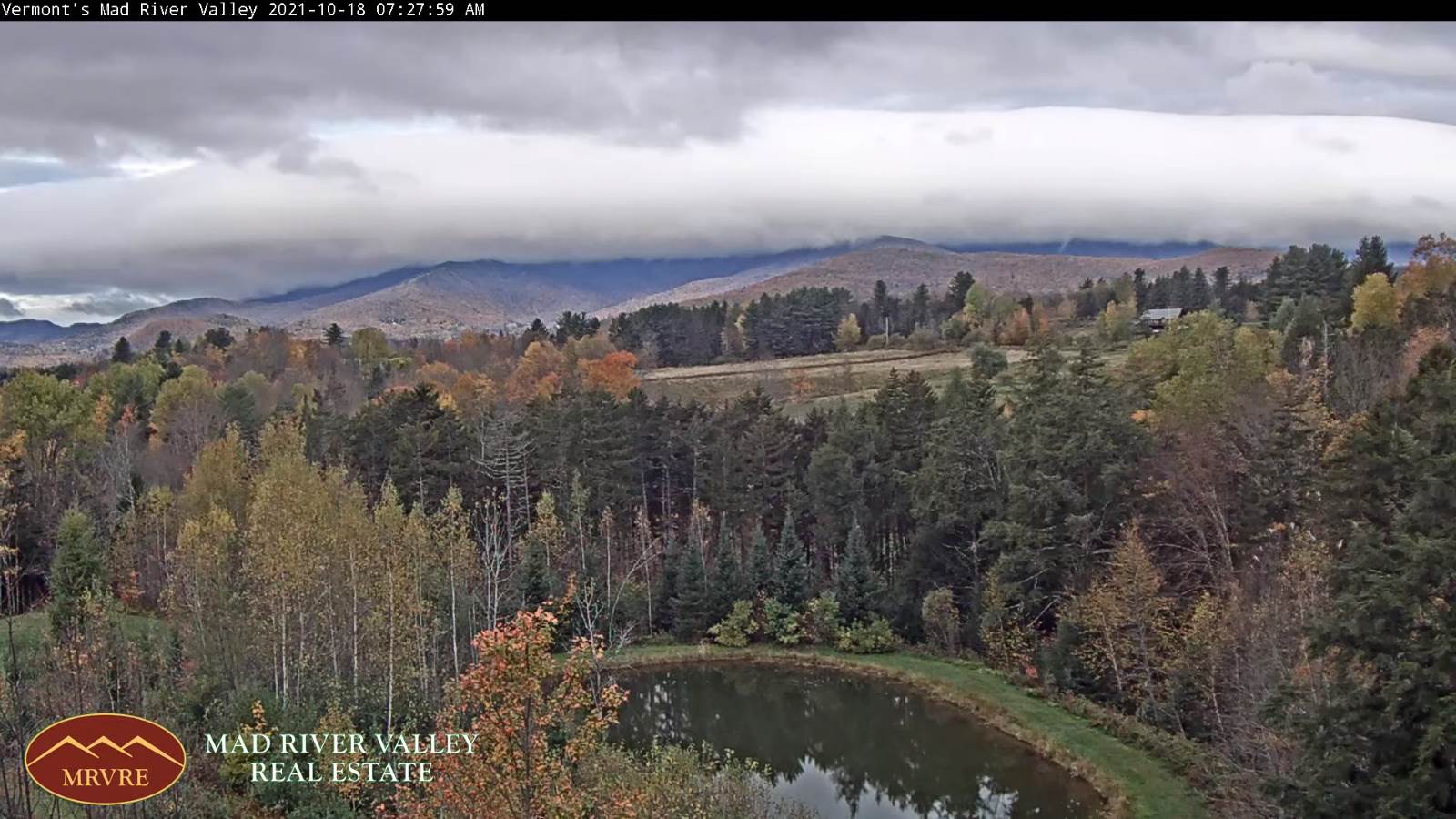
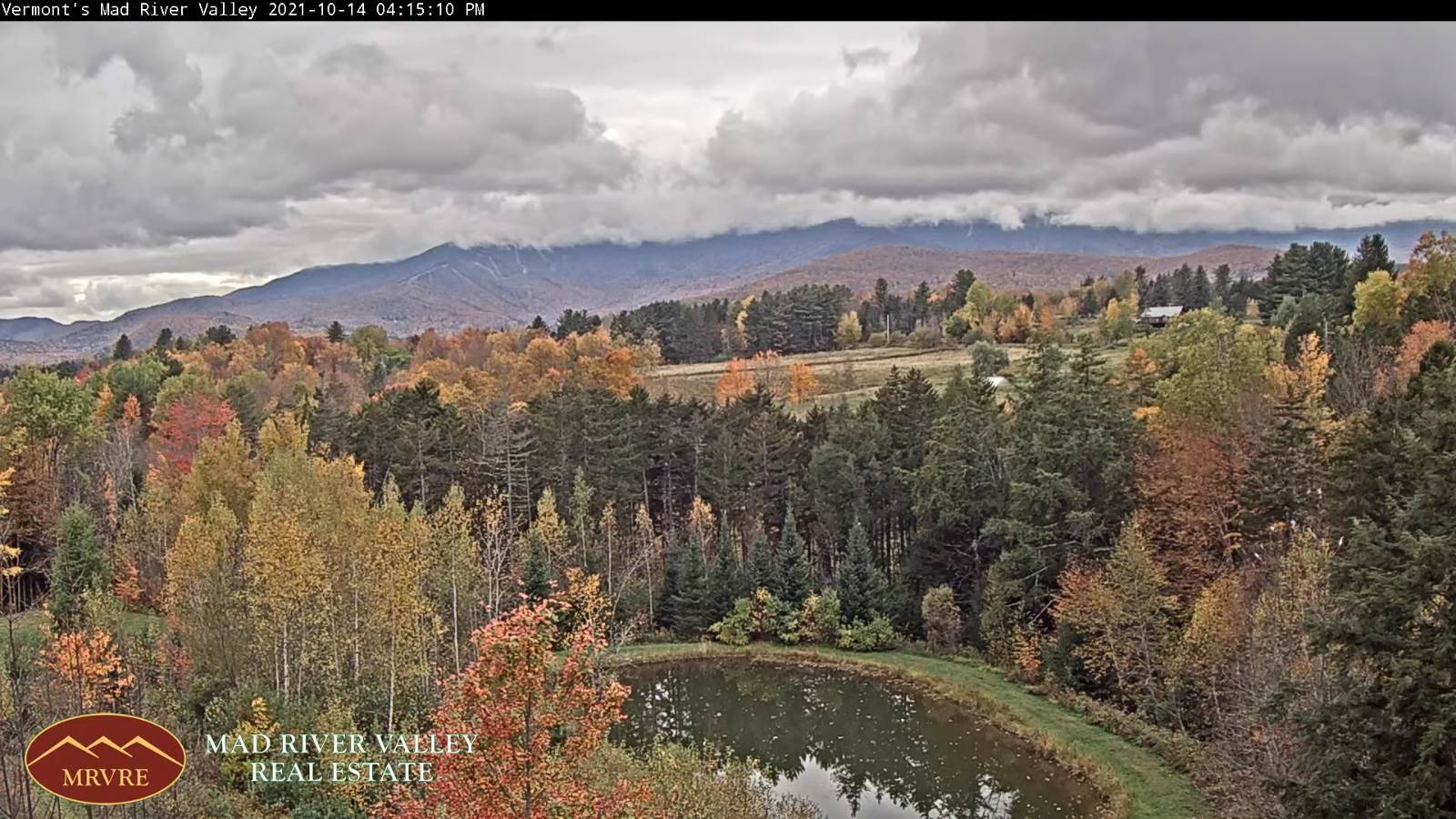
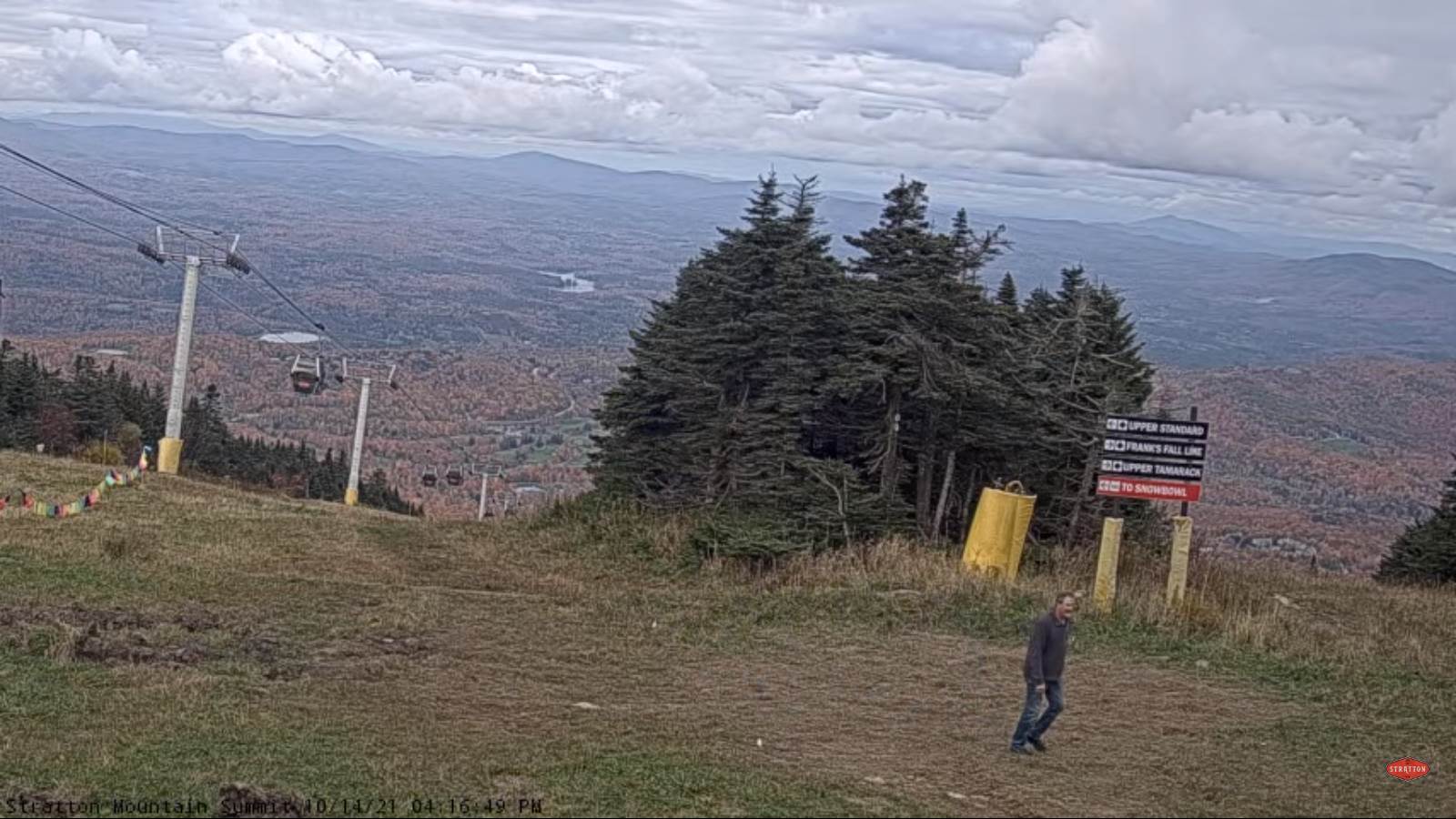
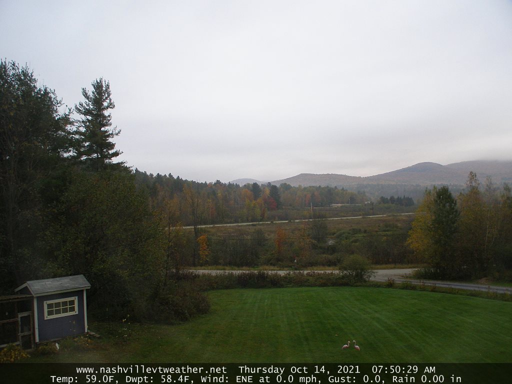
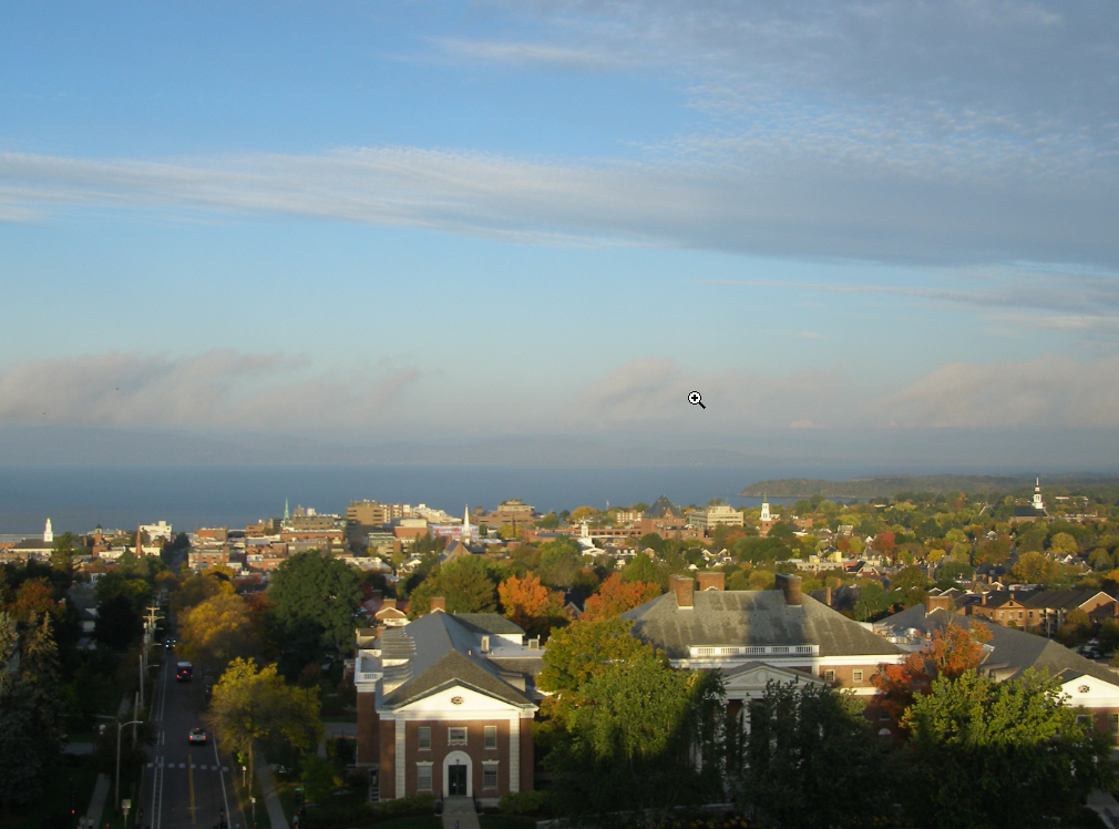
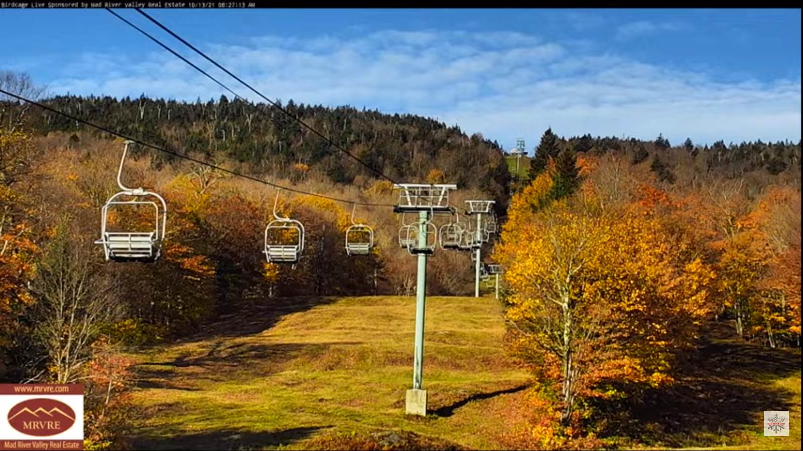
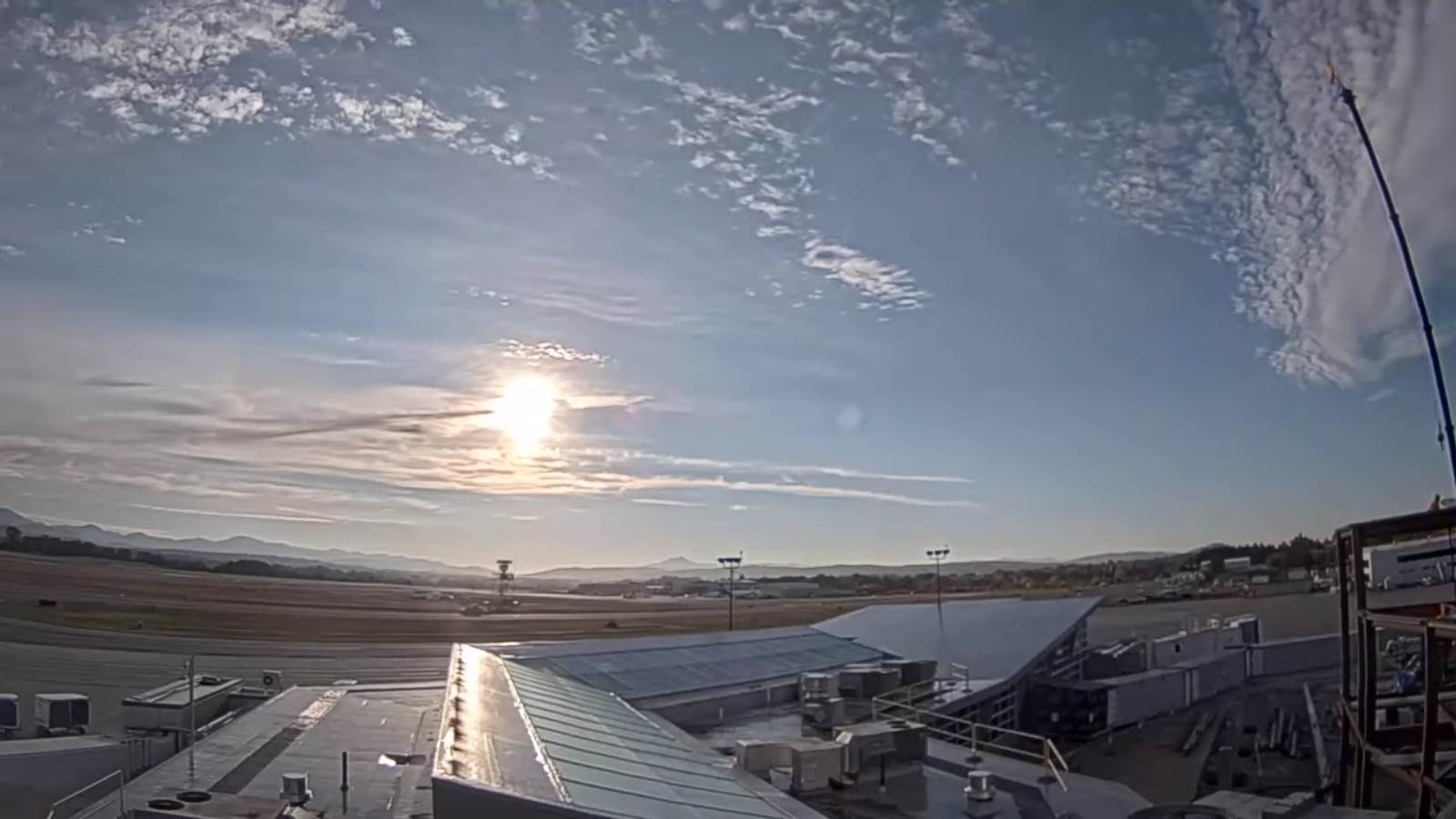
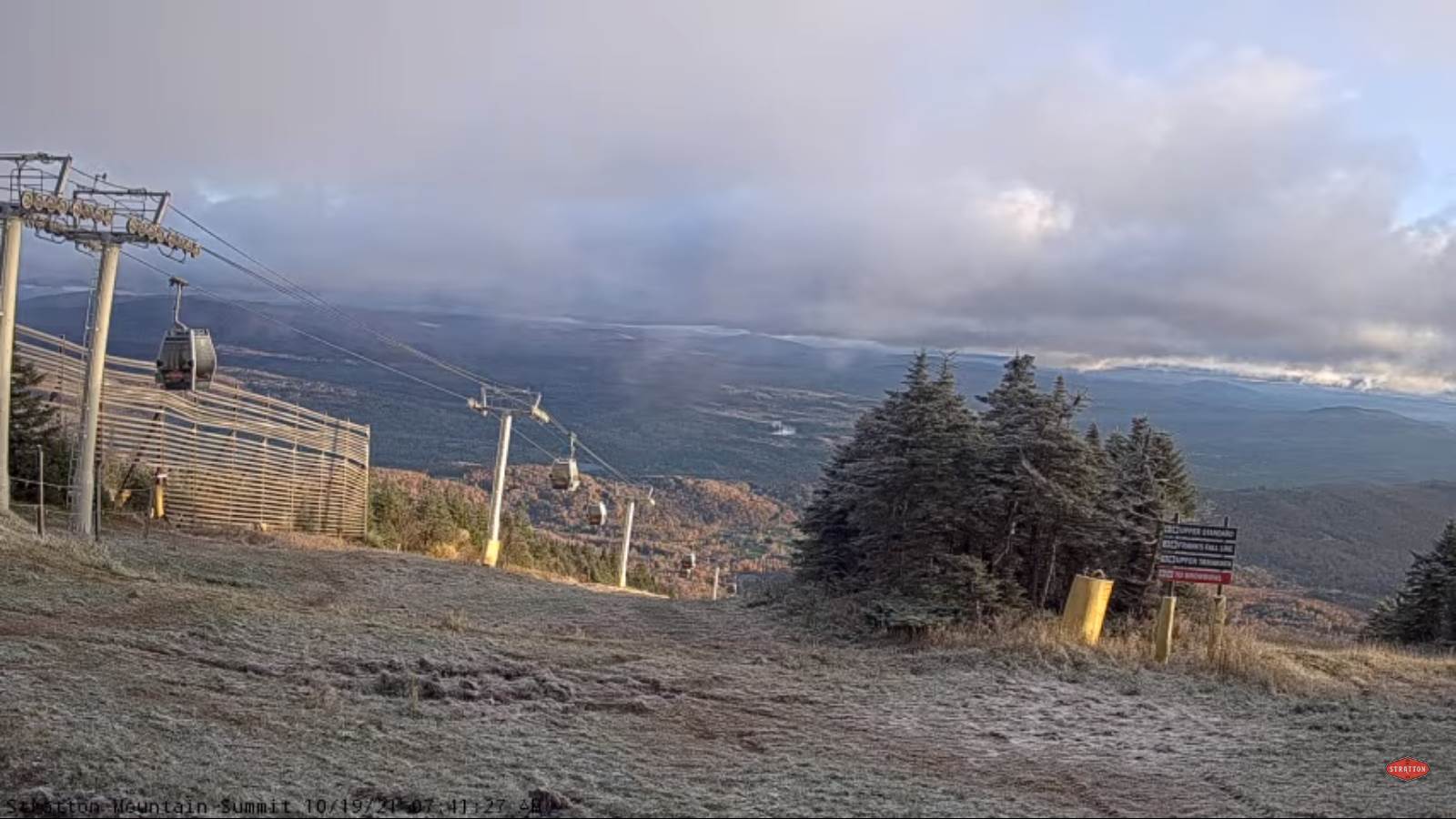
TODAY: Considerable cloudiness with some breaks of sun away from the mountains. Blustery at times. Scattered rain showers mixed with wet snow flakes elevated terrain this morning. A high about 50. Northwest winds 10 to 20 mph.

TONIGHT: Mostly cloudy. Maybe a leftover mountain sprinkle. A low in the mid-40s. Light southwest winds.

Full Hunter’s Moon 10:56 AM

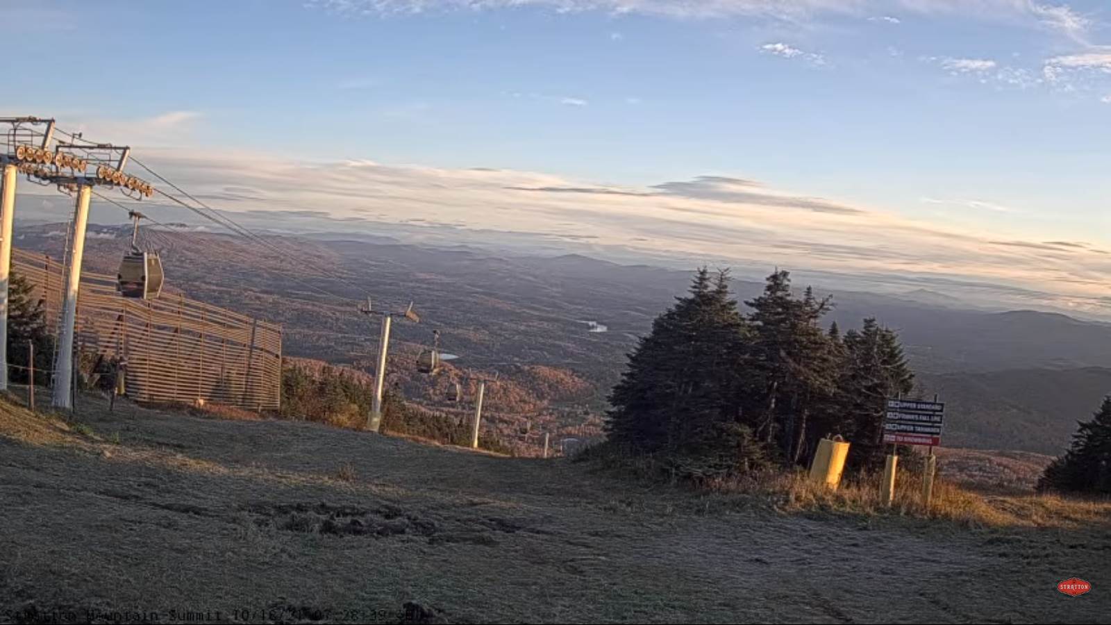
WEDNESDAY: Clouds & intervals of sun. Maybe a northern mountain sprinkle. A high in the low 60s. Northwest winds 10 to 15 mph.

Looking further ahead…

WEDNESDAY NIGHT: Cloudy. Isolated sprinkles Northeast Kingdom. A low around 45.

THURSDAY: Mainly gray. Scattered showers northern tier region. Mild. A high pushing to near 65.

FRIDAY: Clouds mixing with intervals of afternoon sun. Chance for a round of showers. A low mid to upper 40s. A high 55 to 60.

SATURDAY: Cloudy. Chance for late day showers…mixed with wet snowflakes mountains. A low 35 to 40. A high near 50.

SUNDAY: Mostly cloudy. Scattered showers, mixed with little wet snow upper Green Mountain slopes. A low in the mid-30s. A high 45 to 50.

Average lows low to mid 30s. Average highs in the low to mid 50s

RH/10-19forecast][end]

Updated Monday Evening Forecast — October 18th, 2021

TONIGHT: Considerable cloudiness. Light rain showers, especially Champlain Valley and northern Green Mountains with a few wet snow flakes summits of the Green Mountains. A low 35 to 40. Northwest winds 10 mph.

TOMORROW: Considerable cloudiness. Blustery at times. Widely scattered rain showers mixed with wet snow flakes elevated terrain in the morning. A high around 50. Northwest winds 10 to 20 mph.

TUESDAY NIGHT: Mostly cloudy. Chance for rain showers especially northern areas. A low in the mid-40s. Light southwest winds.

WEDNESDAY: Clouds & intervals of sun. Maybe a northern mountain sprinkle. A high around 60. Northwest winds 10 to 15 mph.

Looking further ahead…

WEDNESDAY NIGHT: Cloudy. Isolated northern sprinkles. A low mid to upper 40s.

THURSDAY: Mainly gray. Chance for a few rain showers. Mild. A high near 65.

FRIDAY: Cloudy. Chance for showers. A few late day breaks of sun. A low around 45. A high 55 to 60.

SATURDAY: Cloudy. Chance for showers…mixed with wet snowflakes mountains. A low around 35. A high mid to upper 40s.

SUNDAY: Mostly cloudy. Scattered showers. A low in the 30s. A high near 50.

Average lows low to mid 30s. Average highs in the low to mid 50s

RH/10-18forecast][end]

Updated Monday Morning Forecast — October 18th, 2021

TODAY: Cloudy, with a few breaks of sun. Occasional showers northern tier areas…more isolated central & southern areas. Maybe a few wet snowflakes mountain summits. Chilly. A high upper 40s to near 50. Northwest breeze 10 to 15 mph.

TONIGHT: Considerable cloudiness. Scattered light rain showers especially Champlain Valley and northern Green Mountains with a few wet snow flakes elevated terrain. A low 35 to 40. Light northwest winds.

TUESDAY: Considerable cloudiness. Mixed clouds and sun and blustery at times. Widely scattered rain showers mixed with wet snow flakes elevated terrain in the morning. A high 50 to 55. Northwest winds 10 to 20 mph.

Looking further ahead…

TUESDAY NIGHT: Mostly cloudy. Chance for rain showers especially northern areas. A low in the mid-40s.

WEDNESDAY: Mixed clouds and sun. Slight chance for a few sprinkles northern areas. A high 50 to 55.

THURSDAY: Mostly cloudy. Scattered rain showers in the morning drying up in the afternoon. A low mid to upper 40s. A high pushing to around 65.

FRIDAY: Mainly cloudy. Chance for showers. A low around 45. A high around 60.

Average lows low to mid 30s. Average highs in the low to mid 50s

RH/10-18forecast][end]

Updated Friday Evening Forecast — October 15th, 2021

TONIGHT: Lots of clouds. A chance for a few showers, maybe a rumble of thunder western areas overnight. A bit muggy. A low around 60. Light southeast winds, stronger near Lake Champlain.

TOMORROW: Isolated morning showers. Showers some moderate to briefly heavy with a few rumbles of thunder possible arrive late in the afternoon. Breezy at times & muggy. A high upper 60s to near 70. South winds 10 to 25 mph with higher gusts in the Champlain Valley…ending while shifting to westerly late.

SATURDAY NIGHT: A round of showers moderate to heavy at times likely in the evening, exiting overnight. Otherwise partial clearing overnight but sharply colder. A low near 45. West winds 10 to 15 mph.

SUNDAY: Partly sunny. Maybe a mountain sprinkle. A high near 60. Northwest winds 10 to 15 mph.

Looking further ahead…

SUNDAY NIGHT: Mostly cloudy. A sprinkle western areas. A low 40 to 45.

MONDAY: Lots of clouds. Widely scattered showers or sprinkles. Maybe a few wet snowflakes at mountain summits. Colder. A high about 50.

TUESDAY: Mixed clouds and sun. A low upper 30s. A high mid-40s to around 50.

WEDNESDAY: Partly cloudy. A low in the low 40s. A high 50 to 55.

Average lows low to mid 30s. Average highs mid to upper 50s

RH/10-15forecast][end]

Updated Friday Morning Forecast — October 15tyh, 2021

TODAY: Generally gray & cloudy, but with intervals of sunshine. A brief shower or sprinkle especially western areas. Kind of muggy. A high in the lower 70s. Light southwest winds.

TONIGHT: Lots of clouds. A chance for a few shower maybe a rumble of thunder western areas overnight. A bit muggy. A low around 60. Light southeast winds, stronger near Lake Champlain.

SATURDAY: Variably cloudy. Isolated morning showers. Clouding up. Late afternoon showers with a few rumbles of thunder possible. Breezy at times & rather muggy for this time of year with a high in the low 70s. South winds 10 to 25 mph with higher gusts in the Champlain Valley…ending while shifting to westerly late.

Looking further ahead…

SATURDAY NIGHT: A round of showers moderate to heavy at times likely in the evening, exiting overnight. Otherwise partial clearing overnight but sharply colder. A low near 45.

SUNDAY: Mostly cloudy. Maybe a mountain sprinkle. A high upper 50s to near 60.

MONDAY: Lots of clouds, with a chance for lingering mountain sprinkles. Maybe a few wet snowflakes at mountain summits. Colder. A low 40 to 45. A high in the low 50s.

TUESDAY: Partial clearing with a few lingering clouds eastern areas. A low upper 30s. A high in the mid-50s.

WEDNESDAY: Filtered sun through high cloudiness. A low in the low to mid 40s. A high near 65.

Average lows low to mid 30s. Average highs mid to upper 50s

RH/10-15forecast][end]

Updated Thursday Evening Forecast — October 14th, 2021

TONIGHT: Considerable cloudiness. A low in the low to mid-50s. Little wind.

TOMORROW: Generally gray with a break of sun possible. Maybe a brief shower or sprinkle. A bit on the muggy side. A high in the lower 70s. Light southwest winds.

FRIDAY NIGHT: Lots of clouds. A chance for a few shower maybe a rumble of thunder western areas. A bit muggy. A low upper 50s to around 60. Light southeast winds, stronger near Lake Champlain.

SATURDAY: Variably cloudy. Isolated morning showers. Clouding up. Late afternoon showers with a few rumbles of thunder possible. Breezy at times & rather muggy for this time of year with a high around 70. South winds 10 to 25 mph shifting to westerly late.

Looking further ahead…

SATURDAY NIGHT: A round of showers moderate to heavy at times likely in the evening, exiting overnight. Otherwise partial clearing overnight and colder. A low near 45.

SUNDAY: Mostly cloudy. Maybe a mountain sprinkle. A high upper 50s to near 60.

MONDAY: Lots of clouds, with a chance for lingering mountain sprinkles. Maybe a few wet snowflakes at the summits. Colder. A low 40 to 45. A high in the low 50s.

TUESDAY: Partial clearing with a few lingering clouds eastern areas. A low upper 30s. A high in the mid-50s.

WEDNESDAY: Filtered sun through high cloudiness. A low in the low to mid 40s. A high near 65.

Average lows low to mid 30s. Average highs mid to upper 50s

RH/10-14forecast][end]

Updated Thursday Morning Forecast — October 14th, 2021

TODAY: Lots of clouds with a break or two sun. A few stray sprinkles, mainly northern areas. Kind of humid. A high upper 60s to near 70. Winds northwesterly 10 mph.

TONIGHT: Considerable cloudiness. A low in the mid-50s. Little wind.

FRIDAY: Generally gray with a break of sun possible. Scattered light showers or sprinkles. A bit on the muggy side. A high upper 60s to near 70. Light south winds.

Looking further ahead…

FRIDAY NIGHT: Lots of clouds. A good chance for showers, possible moderate at times overnight. A bit muggy. A low 55 to 60.

SATURDAY: Variably cloudy. Scattered morning showers exiting for a time. More showers late in the afternoon moderate to locally heavy with a few rumbles of thunder possible. Breezy at times & rather muggy for this time of year with a high about 70.

SUNDAY: Mostly cloudy. Scattered mainly mountain sprinkles. A low near 45. A high in the mid-50s.

MONDAY: Lots of clouds, with a chance for lingering mountain sprinkles maybe a few wet snowflakes in the mounts in the morning. Colder. A low 40 to 45. A high near 50.

TUESDAY: Partial clearing with a few lingering clouds eastern areas. A low near 40. A high in the mid-50s.

Average lows low to mid 30s. Average highs mid to upper 50s

RH/10-14forecast][end]

Updated Wednesday Night Weather — October 13th, 2021

TONIGHT: Becoming partly to mostly cloudy. A few showers especially this evening central and & northern areas, becoming isolated northern areas overnight. Patchy valley fog. A low around 55. Light southwest winds.

TOMORROW: Gray skies, maybe an afternoon break of sun. A couple sprinkles far northern areas. A high in the upper 60s. Winds northwesterly 10 mph.

THURSDAY NIGHT: Considerable cloudiness. A low in the mid-50s. Little wind.

FRIDAY: Gray. Good chance for few afternoon showers. A high upper 60s to near 70. Light south winds.

Looking further ahead…

FRIDAY NIGHT: Lots of clouds. Chance for a shower. A low 55 to 60.

SATURDAY: Mostly cloudy. Scattered morning showers…becoming isolated in the afternoon. Breezy to windy in the afternoon. Rising chance for more showers possibly moderate to briefly heavy Saturday night. A high around 70.

SUNDAY: Mostly cloudy. Chance for leftover showers. A low around 45. A high near 60.

MONDAY: Lots of clouds, with a chance for lingering mountain showers. Colder. A low around 40. A high around 50.

Average lows low to mid 30s. Average highs mid to upper 50s

RH/10-13forecast][end]

Updated Wednesday Morning forecast — October 13th, 2021

TODAY: Dense morning valley fog, then periods of sun mixing with more clouds late this afternoon. A bit muggy with showers becoming likely late this afternoon. A high near 75. Southwest breeze 10 mph.

TONIGHT: Cloudy. Showers especially this evening central and & northern areas, becoming isolated overnight. Patchy valley fog. A low around 55. Light southwest winds.

THURSDAY: A few breaks of sun, otherwise gray. Widely scattered showers. A high in the mid to upper 60s. Winds northwesterly 10 mph.

Looking further ahead…

THURSDAY NIGHT: Considerable cloudiness. A low in the mid-50s.

FRIDAY: Mainly gray. Widely scattered showers. A high upper 60s to near 70.

SATURDAY: Mostly cloudy. Scattered morning showers…becoming isolated in the afternoon. Breezy to windy. Rising chance for more showers possibly moderate to briefly heavy Saturday night. A low 55 to 60. A high 65 to 70.

SUNDAY: Mostly cloudy. Chance for leftover showers. A low around 45. A high in the low 60s.

MONDAY: Lots of clouds, with a chance for lingering mountain showers. Colder. A low 40 to 45. A high 50 to 55.

Average lows low to mid 30s. Average highs mid to upper 50s

RH/10-13forecast][end]

Updated Tuesday Evening Forecast — October 12th, 2021

TONIGHT: High cloudiness, becoming mostly clear toward daybreak. Patchy valley fog. A low 50 to 55. Light south winds.

TOMORROW: Morning fog then clouds mixing with periods of sunshine. A bit muggy. Showers becoming likely toward mid- afternoon. Warm with a high around 75. Southwest breeze 10 mph.

WEDNESDAY NIGHT: Considerable cloudiness with a few showers northern areas. Patchy valley fog. A low around 55. Light southwest winds.

THURSDAY: A few breaks of sun, otherwise lots of clouds. Widely scattered light showers. A high in the upper 60s. wind northwesterly 10 mph.

Looking further ahead…

THURSDAY NIGHT: Fair in the evening, then clouding up with a chance for showers after midnight. A low near 55.

FRIDAY: Morning showers exit to partial afternoon sun. A high in the low 70s.

SATURDAY: Variably cloudy. Chance for morning showers maybe a thunderstorm…becoming isolated in the afternoon. Breezy to windy. Rising chances for more showers possibly moderate Saturday night. A low upper 50s. A high near 70.

SUNDAY: Variable clouds. Chance for leftover showers. A low around 45. A high in the low 60s.

MONDAY: Morning fog, then sun mixing with clouds. Much Cooler. A low 40 to 45. A high 50 to 55.

Average lows low to mid 30s. Average highs mid to upper 50s

RH/10-12forecast][end]