Updated Tuesday Morning Forecast — October 26th, 2021

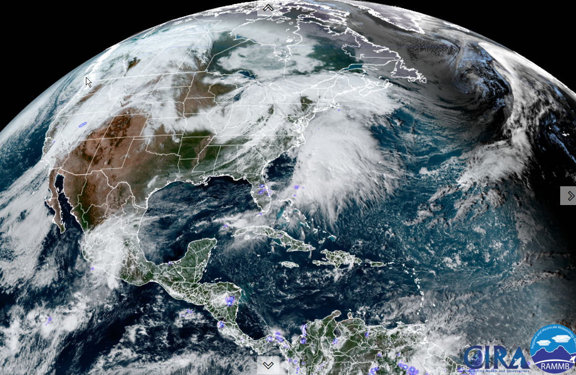
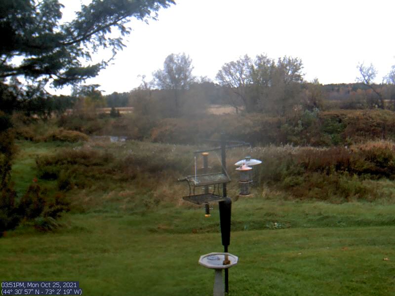
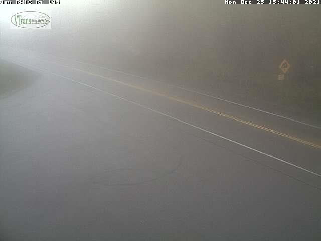
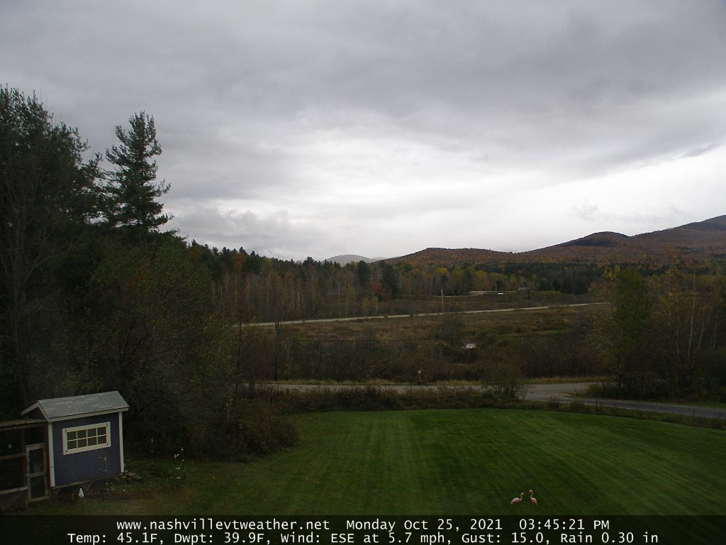
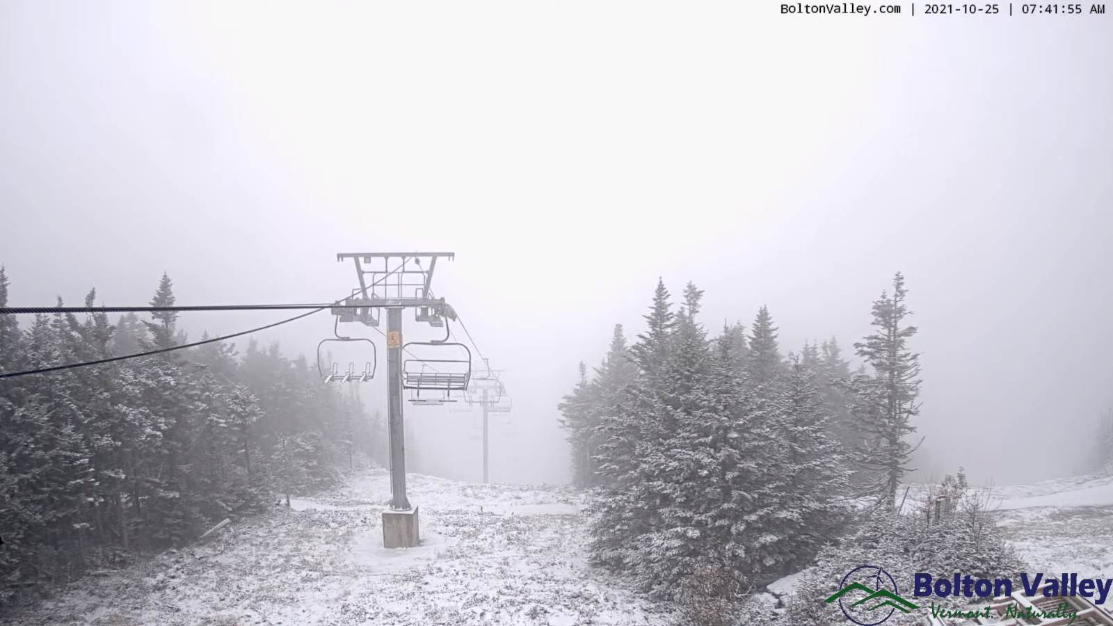
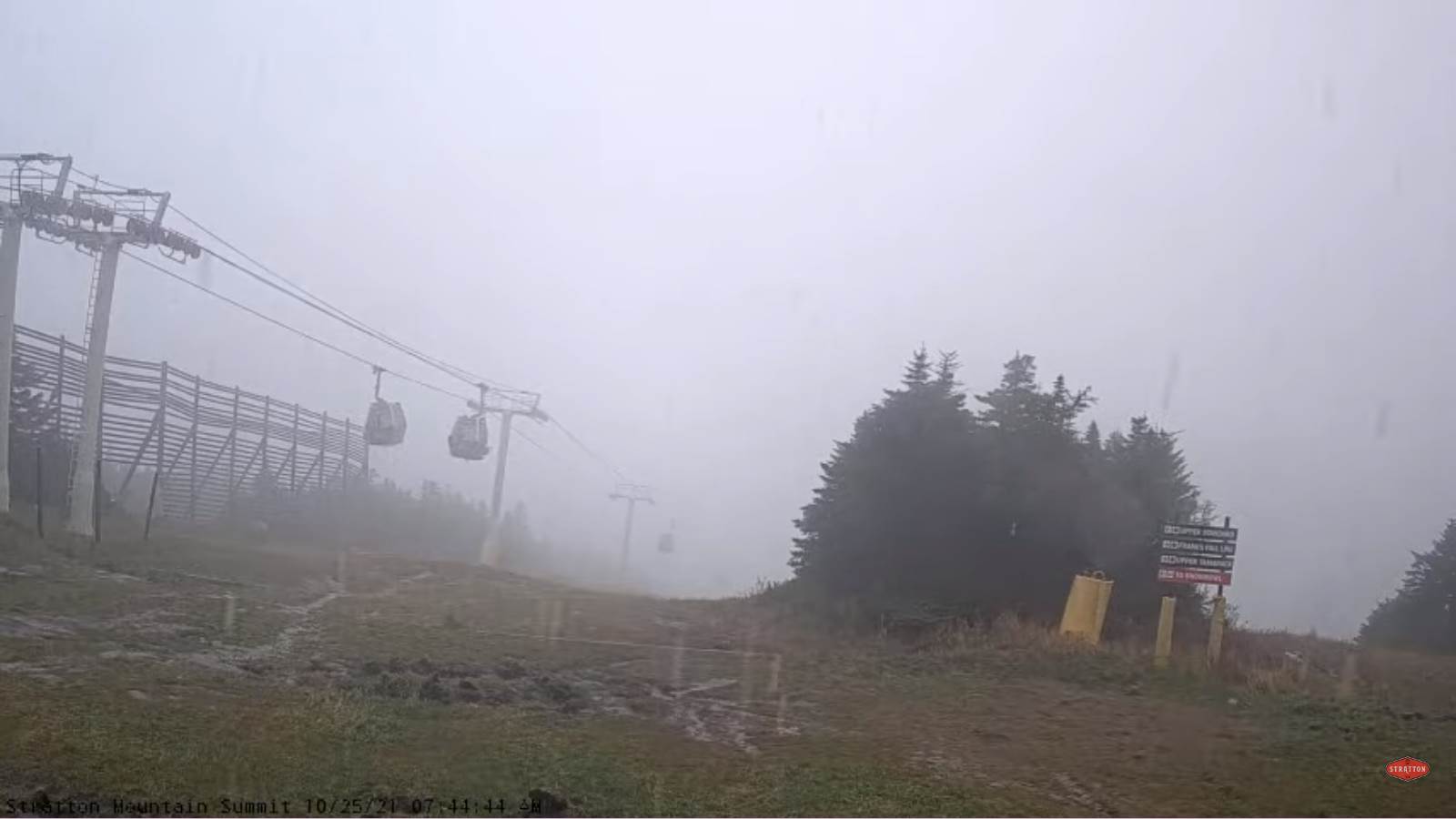
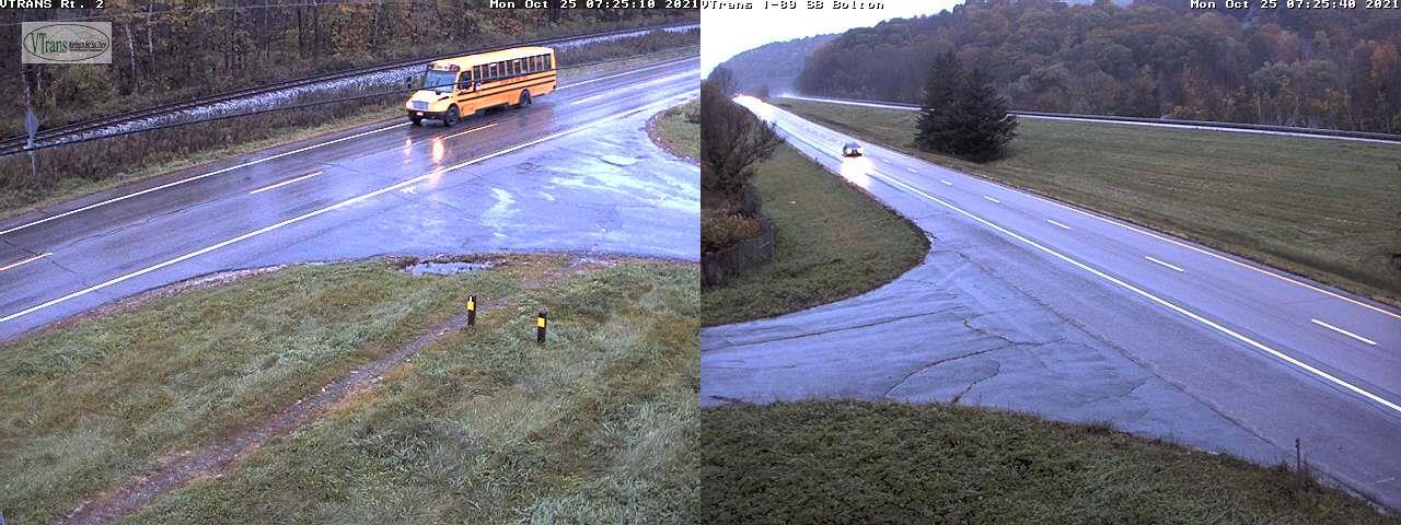
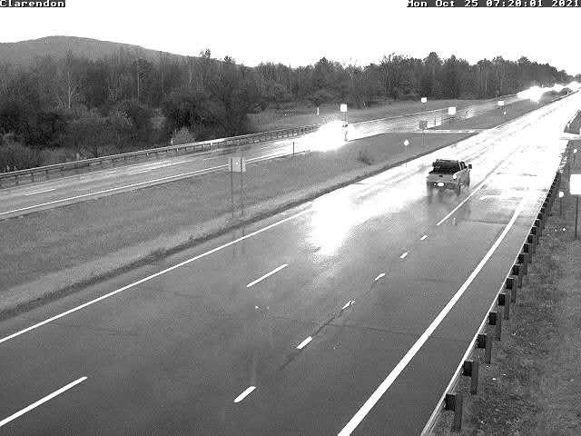
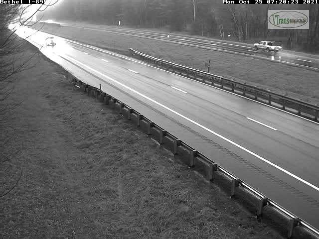
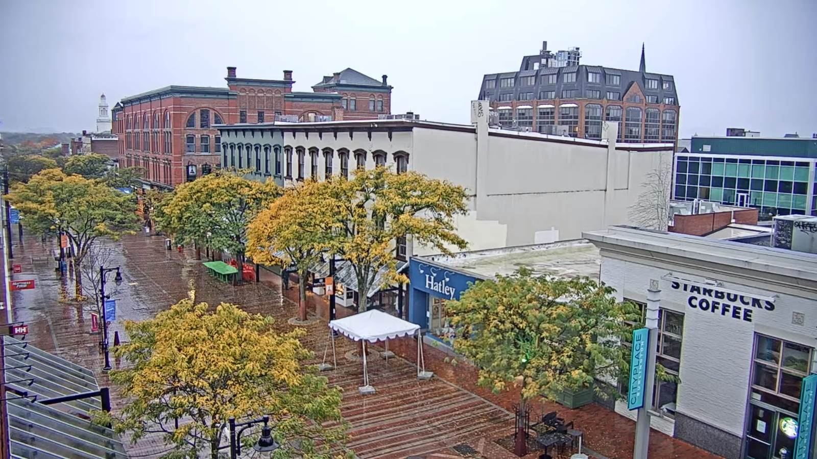
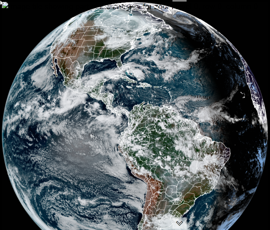
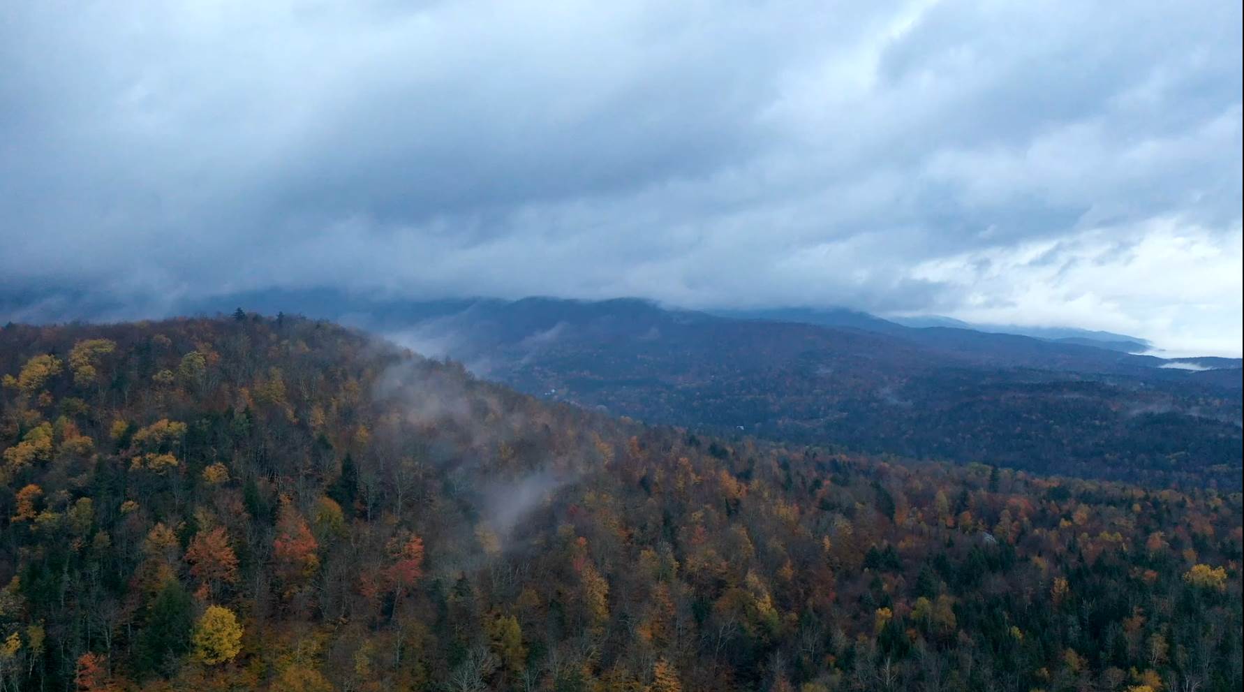
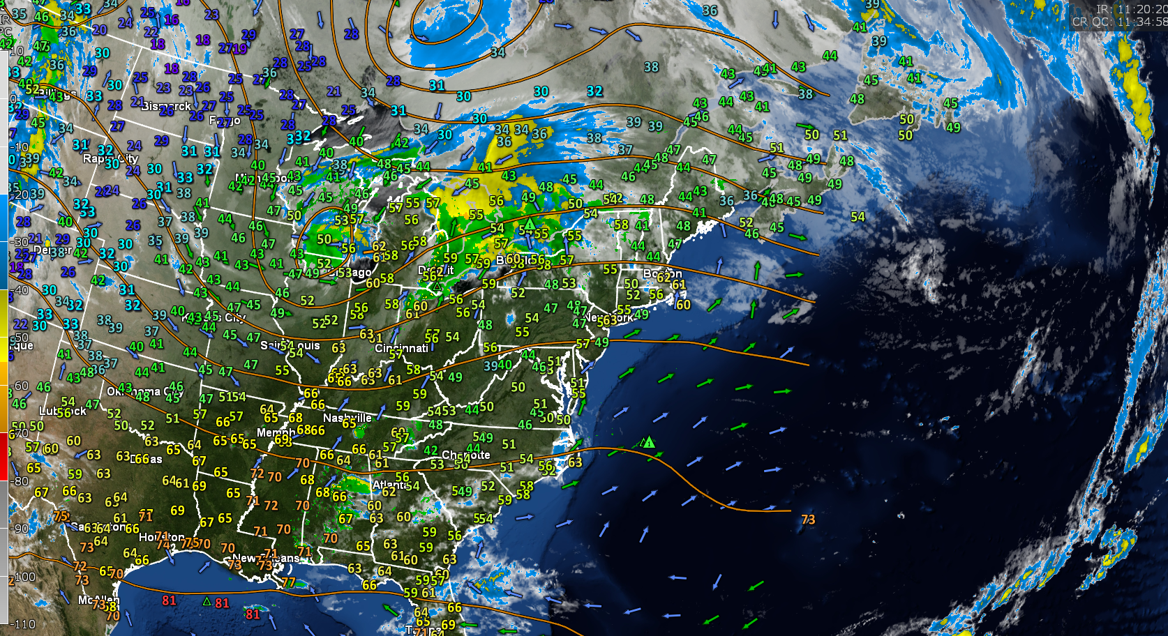
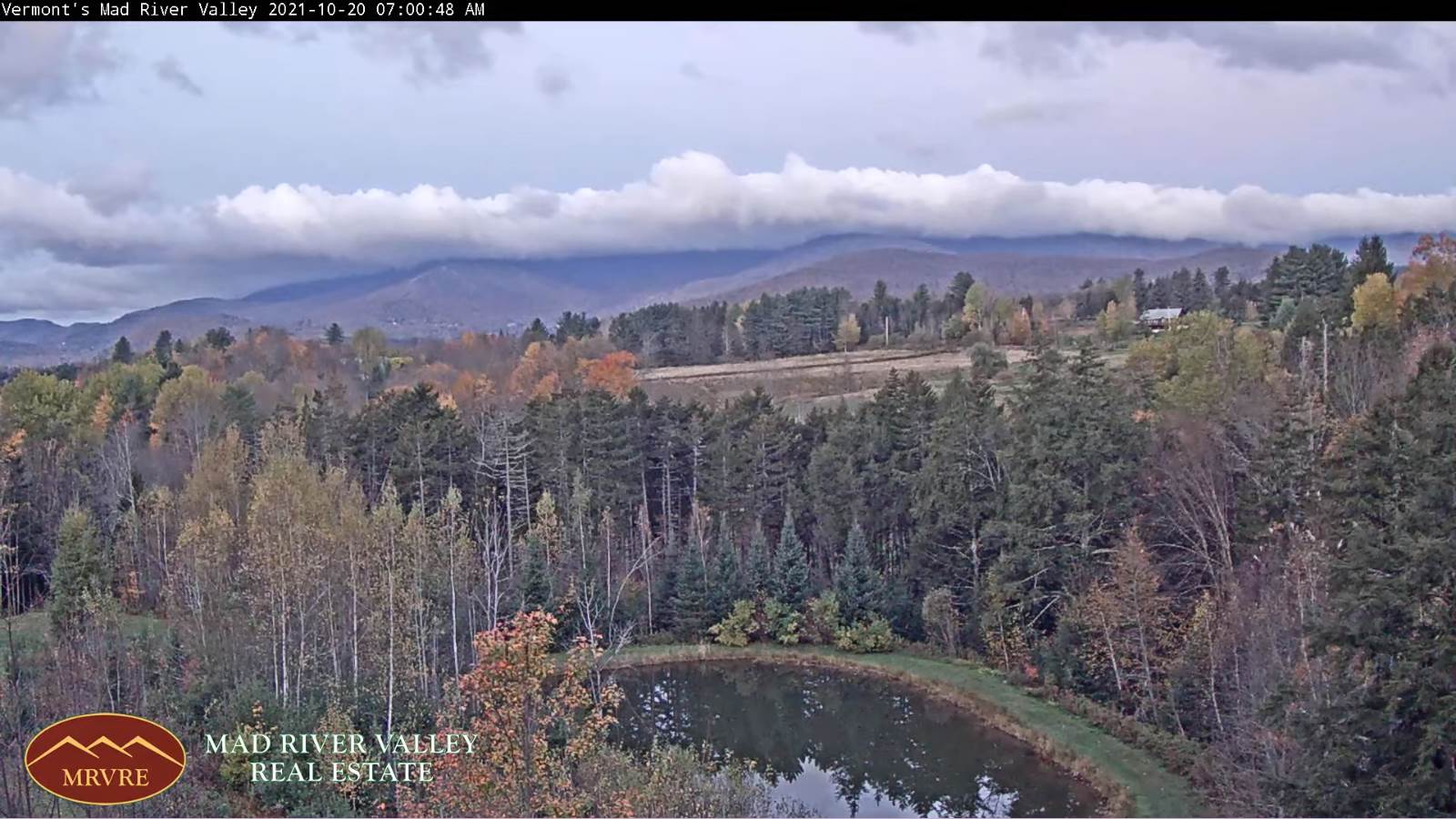
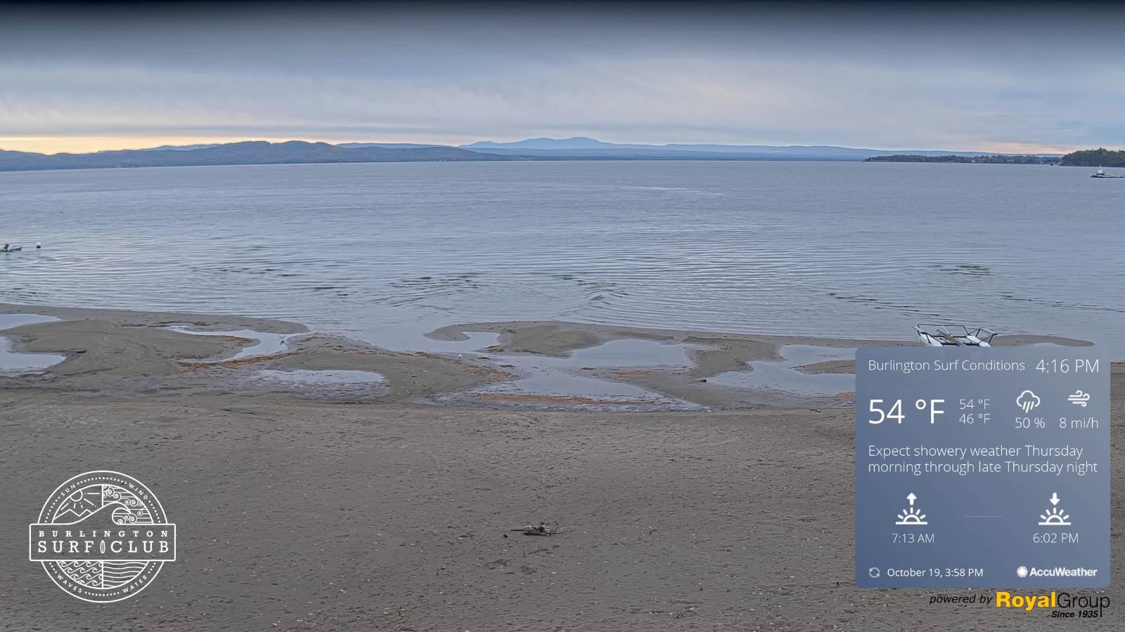
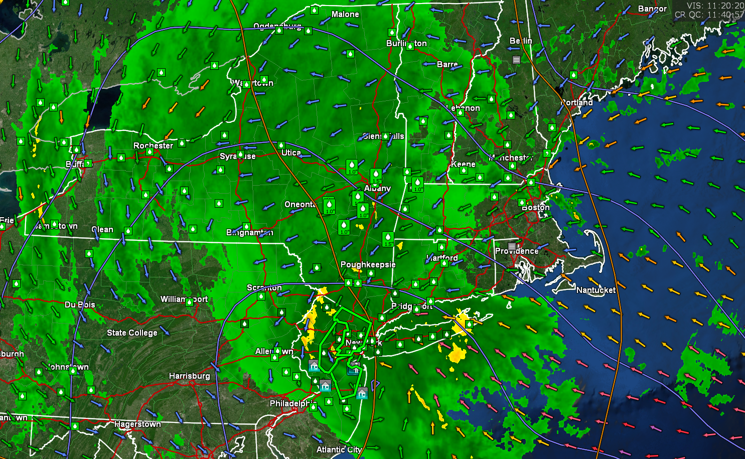
TODAY: Gray. Periods of rain…but with occasional showers Barre-Montpelier area north. Rain moderate to heavy at times far southern areas. A high 50 to 55. Light northeast winds.

TONIGHT: Cloudy. Occasional showers Barre-Montpelier area south gradually exiting late overnight. A low 40 to 45. Northeast winds 10 mph.

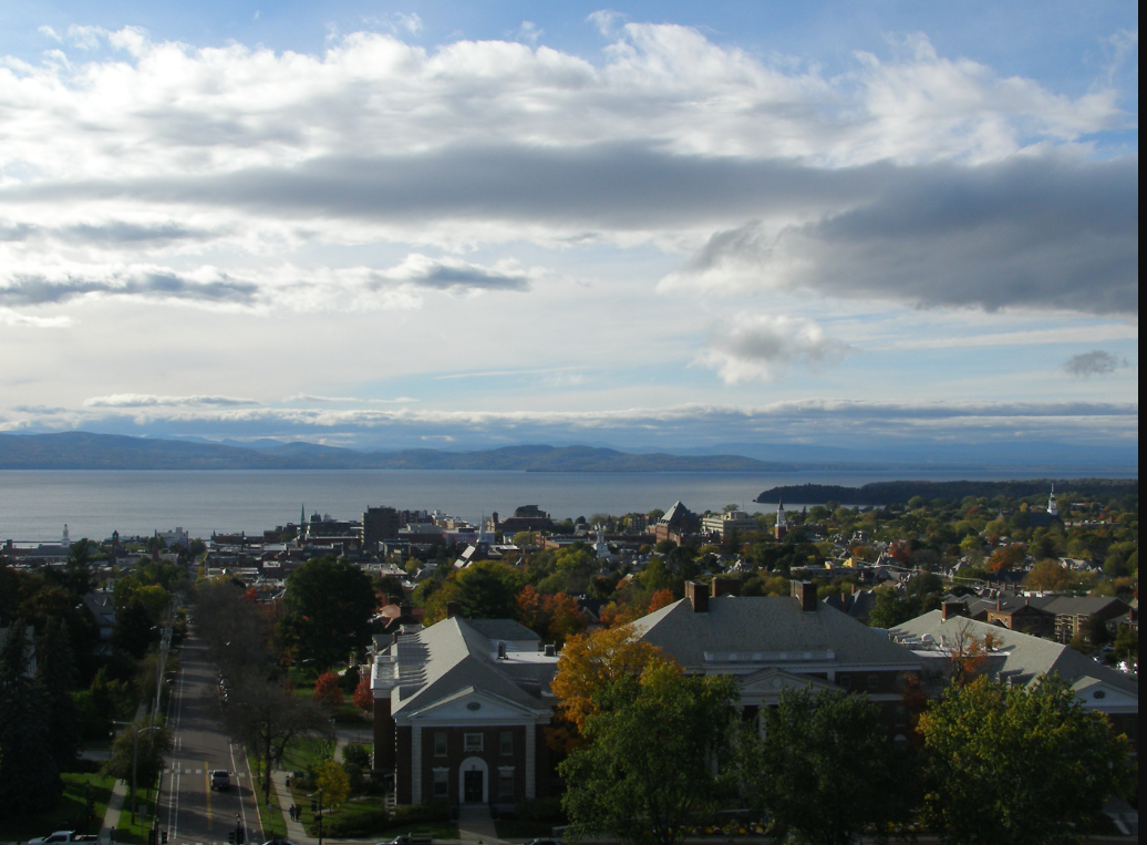
WEDNESDAY: Gray, with leftover morning showers exiting by afternoon. Breaks of sun north, with periods of sun developing away from the mountains later in the afternoon. A high 50 to 55. Northeast winds 10 mph.

Looking further ahead…

WEDNESDAY NIGHT: High cloudiness otherwise dry. A low in the mid-30s.

THURSDAY: Mainly high cloudiness mixing with periods of sunshine. A high near 55.

FRIDAY: Sunshine mixed with a few clouds. A low around 30. A high in the low to mid 50s.

SATURDAY: Cloudy. Chance for periods of rain, moderate at times. A low 40 to 45. A high 50 to 55.

SUNDAY: More clouds than sun. Scattered showers. A low 45 to 50. A high mid-50s to near 60.

Average lows 30 to 35. Average highs upper 40s to mid-50s.

RH/10-26forecast][end]

Updated Monday Night Weather — October 25th, 2021

TONIGHT: Overcast. Areas of fog and drizzle. Periods of light rain southern areas spreading north overnight as occasional showers. A 40 to 45. Light east winds.

TOMORROW: Gray. Periods of rain except occasional showers across northern tier areas. A high in the low 50s. Light northeast winds.

TUESDAY NIGHT: Cloudy. Periods of rain moderate at times southern areas…tapering to scattered showers gradually exiting late overnight. A low 40 to 45. Northeast winds 10 mph.

WEDNESDAY: Gray, with a few leftover showers central and southern areas. Breaks of sunshine away from the mountains across the northern. A high 50 to 55. Northeast winds 10 mph.

Looking further ahead…

WEDNESDAY NIGHT: High cloudiness otherwise dry. A low in the mid-30s.

THURSDAY: High cloudiness allowing for hints of sunshine. A high near 55.

FRIDAY: Sunshine with a few clouds. A low near 30. A high near 55.

SATURDAY: Generally gray. Chance for showers. A low 40 to 45. A high 50 to 55.

SUNDAY: More clouds than sun. Scattered showers. A low 45 to 50. A high in the mid-50s.

Average lows 30 to 35. Average highs upper 40s to mid-50s.

RH/10-25forecast][end]

Updated Monday morning Forecast — October 25th, 2021

TODAY: Gray. Rain…moderate at times…tapering off to a few late afternoon sprinkles. Areas of fog. A high around 45. Light east winds.

TONIGHT: Overcast. Periods of mostly light rain spreading north overnight. Areas of fog. A low in the low 40s. Light east winds.

TUESDAY: Gray. Periods of rain except occasional showers across northern tier areas. A high upper 40s to near 50. Light northeast winds.

Looking further ahead…

TUESDAY NIGHT: Cloudy. Periods of rain moderate at times southern areas…tapering to scattered showers gradually exiting late overnight. A low in the low 40s.

WEDNESDAY: Considerable cloudiness with a few breaks of sun away from the mountains. A high 50 to 55.

THURSDAY: Clouds giving way to intervals of sunshine. A low in the mid-30s. A high 50 to 55.

FRIDAY: Sun and clouds. A low around 30. A high near 55.

SATURDAY: Generally gray. Chance for showers or periods of rain. A low a low near 40. A high in the mid-50s.

Average lows 30 to 35. Average highs upper 40s to mid-50s.

RH/10-25forecast][end]

Updated Friday Evening Forecast — October 22nd, 2021

TONIGHT: Mostly cloudy. A low mid to upper 30s. Light northwest winds.

TOMORROW: Clouds with a breaks of sun. Chilly. A high upper 40s. Light northwest winds.

SATURDAY NIGHT: Evening cloudiness gives way to clearing for a time overnight. Frosty with patchy valley fog. A low around 32. Light west winds.

SUNDAY: Periods of morning sun after a cold start…gives way to afternoon cloudiness. A high in the lower 50s. Light west to southwest winds.

Looking further ahead…

SUNDAY NIGHT: Considerable clouds. A rising chance for periods of rain or showers. A low around 35.

MONDAY: Lots of clouds continued chilly. Chance for a period of rain or showers Rutland south. A high near 50.

TUESDAY: Overcast. Chance for periods of rain…moderate t times. Chilly. A low in the upper 30s. A high around 50.

WEDNESDAY: Gray & damp, with lingering showers exiting late to intervals of sun. A low 40 to 45. A high 45 to 50.

Average lows 30 to 35. Average highs 50 to 55.

RH/10-22forecast][end]

Updated Friday Morning Forecast — October 22nd, 2021

TODAY: Damp with a few lingering light showers this morning, drying up this afternoon. Breaks of sunshine developing with a high in the upper 50s. South winds 10 mph shifting to northwesterly this morning.

TONIGHT: Mostly cloudy. A low mid to upper 30s. Light northwest winds.

SATURDAY: Clouds with a breaks of sun. Chilly with a mountain sprinkle or wet snowflake or two late. A high upper 40s. Light west to northwest winds.

Looking further ahead…

SATURDAY NIGHT: Evening cloudiness gives way to clearing for a time overnight. Patchy valley fog. A low around 32.

SUNDAY: Periods of morning sunshine gives way to afternoon cloudiness. A few mountain sprinkles. A high in the lower 50s.

MONDAY: Lots of clouds continued chilly. Chance for a period of rain or showers Rutland south. A low around 35. A high near 50.

TUESDAY: Overcast. Chance for periods of rain or showers. Chilly, but near seasonable in temperature. A low in the upper 30s. A high around 50.

WEDNESDAY: Gray & damp, with lingering showers. A low 40 to 45. A high 45 to 50.

Average lows 30 to 35. Average highs 50 to 55.

RH/10-22forecast][end]

Updated Thursday Evening Forecast — October 21st, 2021

TONIGHT: Dry this evening with variable cloudiness. Clouds overnight, with showers developing. A low upper 40s to near 50. Light south winds, stronger near Lake Champlain.

TOMORROW: Chance for passing light showers in the morning, drying up in the afternoon. Breaks of afternoon sun. A high in the upper 50s. South winds 10 mph shifting to northwesterly late morning with a cold frontal passage.

FRIDAY NIGHT: Mostly cloudy. A low upper 30s to around 40. Light northwest winds.

SATURDAY: Clouds with a breaks of sun. Chilly with a mountain sprinkle or wet snowflake or two. A high upper 40s. Light west to northwest winds.

Looking further ahead…

SATURDAY NIGHT: Lots of clouds. A low in the low 30s.

SUNDAY: Mixed clouds and sun. Maybe a mountain sprinkle. A high in the lower 50s.

MONDAY: More sun than clouds, but rather chilly. A low 32 to 35. A high near 50.

TUESDAY: Morning sunshine, Becoming filtered by high cloudiness. Chilly, but near seasonable in temperature. A low in the low 30s. A high 50 to 55.

WEDNESDAY: Thickening clouds, leading to a rising chance for showers. A low 40 to 45. A high near 50.

Average lows 30 to 35. Average highs 50 to 55.

RH/10-21forecast][end]

Updated Thursday morning Forecast — October 2`1st, 2021

TODAY: Gray skies. A round of occasional rain showers later this morning…exiting early to mid-afternoon. Mild. A high near 65. South breeze 10 mph.

TONIGHT: Thickening clouds. Showers likely after midnight. A low in the mid-40s. South breeze 10 to 15 mph stronger near Lake Champlain.

FRIDAY: Chance for passing light showers, drying up in the afternoon. Breaks of afternoon sun. A high in the upper 50s. South winds 10 to 15 mph shifting to northwesterly late morning.

Looking further ahead…

FRIDAY NIGHT: Partly to mostly cloudy. A low near 35.

SATURDAY: Clouds with a breaks of sun. Chilly. A high upper 40s.

SUNDAY: Partly sunny. A couple sprinkles. A low in the low 30s. A high near 50.

MONDAY: Variable clouds. Rather chilly. A low around 30. A high in the upper 40s to near 50.

TUESDAY: Morning sunshine, then increasing high cloudiness. Chilly, but near seasonable in temperature. A low in the low 30s. A high in the low 50s.

WEDNESDAY: Thickening clouds, leading to a rising chance for showers. A low 35 to 40. A high around 50.

Average lows low to mid 30s. Average highs in the low to mid 50s

RH/10-21forecast][end]

Updated Wednesday Evening Forecast — October 20th, 2021

TONIGHT: Clouds with a couple sprinkles northern tier. Otherwise partly cloudy becoming cloudy late. A low mid to upper 40s. Light southwest winds.

TOMORROW: Isolated sprinkles or passing light showers exiting mid-day. Otherwise cloudy and gray. A high pushing to near 65. South breeze 10 mph.

THURSDAY NIGHT: Thickening clouds, leading to showery periods after midnight. A low in the mid-40s. South breeze 10 to 15 mph stronger near Lake Champlain.

FRIDAY: Chance for passing light showers, exiting in the afternoon. Breaks of afternoon sun. A high in the mid to upper 50s. South winds 10 to 15 mph shifting to northwesterly late morning.

Looking further ahead…

FRIDAY NIGHT: Partly to mostly cloudy. A low near 35.

SATURDAY: Clouds with a breaks of sun. A high near 50.

SUNDAY: Partly sunny. A couple sprinkles or wet snow flakes. A low 32 to 35. A high near 50.

MONDAY: Variable clouds. Widely scattered sprinkles mixed with morning wet snow high terrain. Rather chilly. A low 32 to 35. A high in the upper 40s.

TUESDAY: Chilly, but near seasonable in temperature. A low near 30. A high 50 to 55.

Average lows low to mid 30s. Average highs in the low to mid 50s

RH/10-20forecast][end]

Updated Wednesday Morning Forecast — October 20th, 2021

Full Hunter’s Moon 10:56 AM

TODAY: Partly sunny. A high 60 to 65. Northwest winds 10 to 15 mph.

TONIGHT: Clouds northern areas with isolated sprinkles. Otherwise partly cloudy with more clouds toward daybreak. A low mid to upper 40s. Light west to southwest winds.

THURSDAY: Isolated sprinkles early northern areas, otherwise considerable cloudiness but milder. A high pushing to near 65. South breeze 10 to 15 mph.

Looking further ahead…

THURSDAY NIGHT: Fair with evening high cloudiness, thickening up late leading to a rising chance for showers. A low in the mid-40s.

FRIDAY: Chance for showers, exiting in the afternoon with intervals of afternoon sunshine. A high in the upper 50s.

SATURDAY: Clouds with a breaks of sun. Chance for a late day showers southern areas. A low near 35. A high near 50.

SUNDAY: Mostly cloudy. Scattered showers, mixed with little wet snow slopes. A low 32 to 35. A high 45 to 50.

MONDAY: Partly to mostly sunny but chilly. A low 32 to 35. A high around 45.

Average lows low to mid 30s. Average highs in the low to mid 50s

RH/10-20forecast][end]

Updated Tuesday Night Weather — October 19th, 2021

TONIGHT: Lots of clouds. Maybe a leftover mountain sprinkle Northeast Kingdom. A low in the mid-40s. Light southwest winds.

Full Hunter’s Moon 10:56 AM

TOMORROW: Clouds & intervals of sun. A high in the low 60s. Northwest winds 10 to 15 mph.

WEDNESDAY NIGHT: Cloudy northern areas with isolated sprinkles. Partly cloudy Barre-Montpelier area south. A low around 45. Light west to southwest winds.

THURSDAY: Isolated sprinkles early northern tier, otherwise considerable cloudiness but milder. A high pushing to near 65. South breeze 10 to 15 mph.

Looking further ahead…

THURSDAY NIGHT: Fair with high cloudiness in the evening, thickening up leading to scattered showers overnight. A low in the mid-40s.

FRIDAY: Clouds mixing with intervals of afternoon sun. Chance for a round of showers. A high in the upper 50s.

SATURDAY: Clouds with a breaks of sun. A low 35 to 40. A high near 50.

SUNDAY: Mostly cloudy. Scattered showers, mixed with little wet snow slopes. A low in the mid-30s. A high 45 to 50.

Average lows low to mid 30s. Average highs in the low to mid 50s

RH/10-19forecast][end]