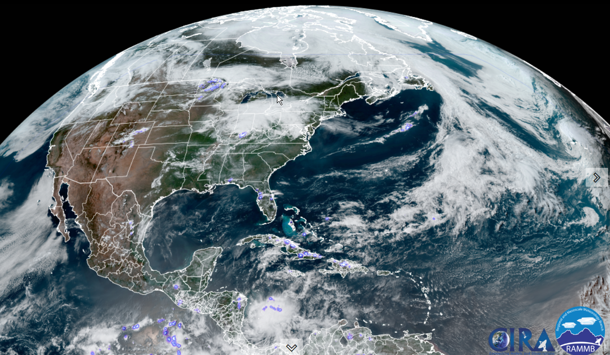
TONIGHT: High cloudiness or partly cloudy, Muggy western areas. Patchy valley fog. A low upper 50s east of the Greens, ranging to mid-60s Champlain Valley. South to southeast breeze 10 to 15 mph, stronger & gusty toward Lake Champlain.
Heat Advisory for Champlain & Connecticut River valleys.
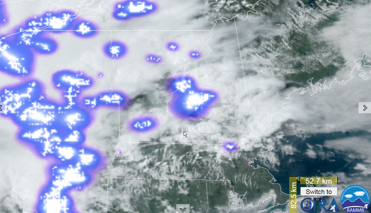
TOMORROW: Sunshine mixing with afternoon clouds. Widely scattered late afternoon thunderstorms mainly northern areas. One or two may be strong to locally severe. Hot and sticky. A high upper 80s to around 90. Southwest winds 10 to 15 mph.
SATURDAY NIGHT: Some clouds northern areas with a lingering chance for a few thunderstorms northern areas. A low in the low to mid 60s. Little wind.
SUNDAY: Some morning sunshine, then afternoon cloudiness. Showers and thunderstorms likely…some strong to locally severe, warm and sticky. A high 85 to 90. Southwest breeze 10 to 20 mph.
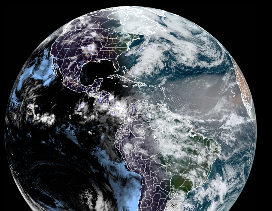
Looking further ahead…
SUNDAY NIGHT: Any early evening showers/storms wind down to partial clearing overnight. Cooler and less humid. A low upper 40s to around 50.
MONDAY: Mainly gray with hints of sunshine. A high in the low 60s.
TUESDAY: Filtered sun through high cloudiness. A low 35 to 40. A high upper 60s to around 70.
WEDNESDAY: Morning sun gives way to thickening clouds. A low 50 to 55. A high near 70.
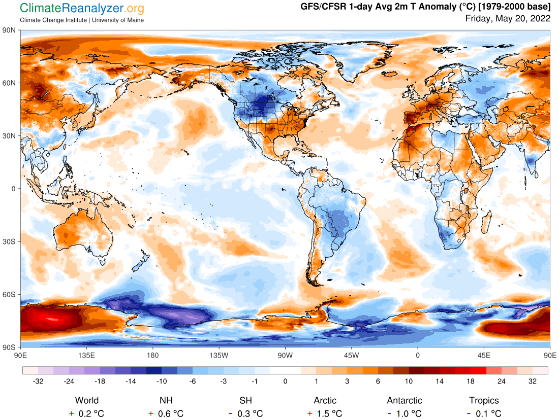
Average lows ranging 40 to 45. Average highs mid-60s to low 70s.
RH/5-20forecast][end]