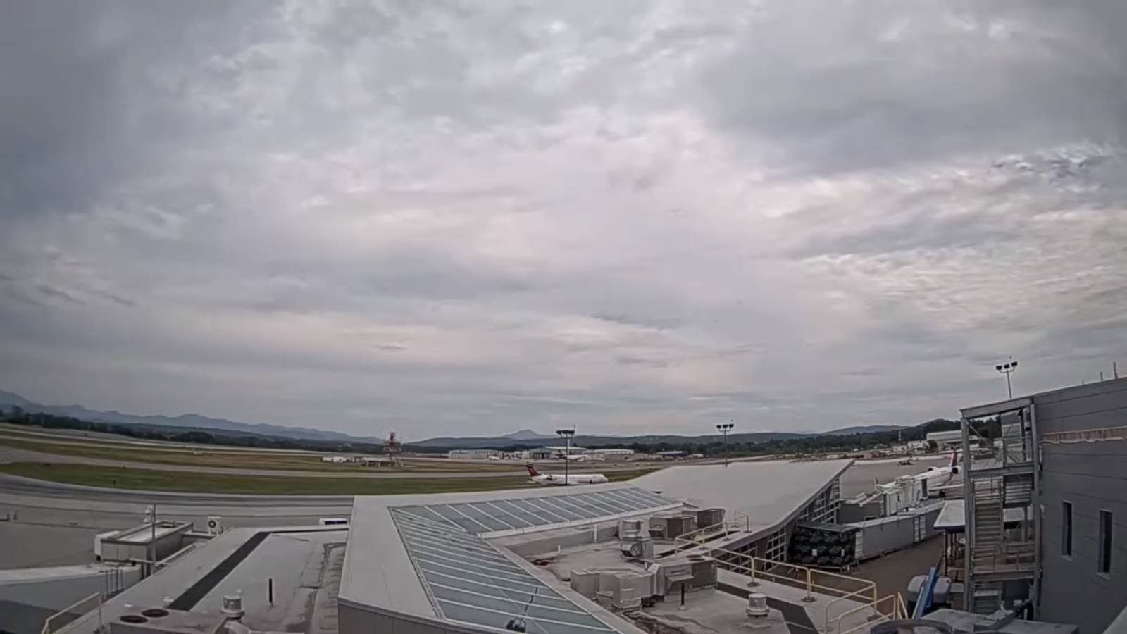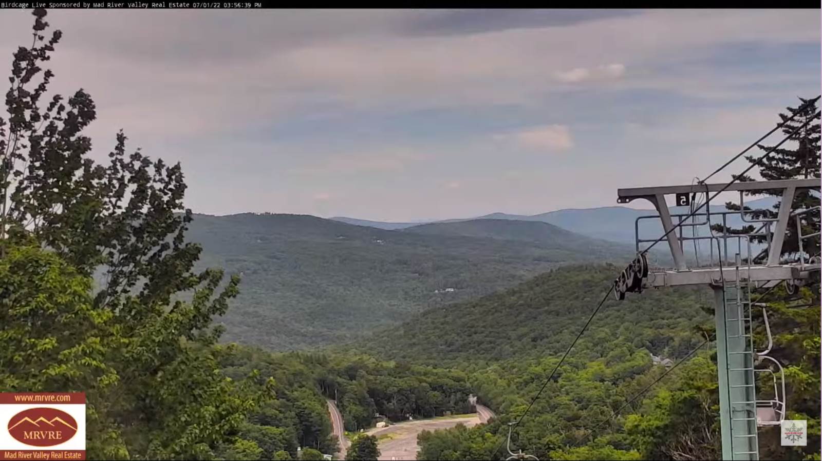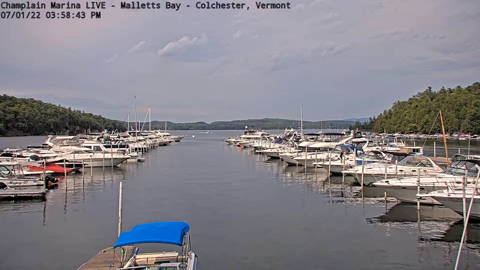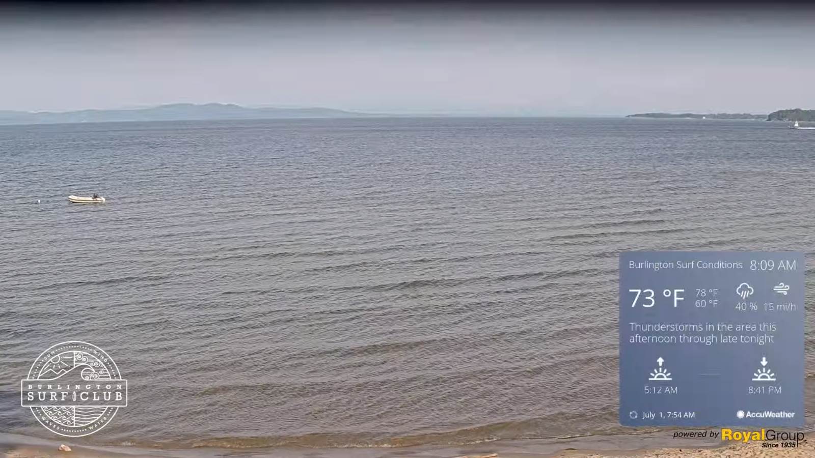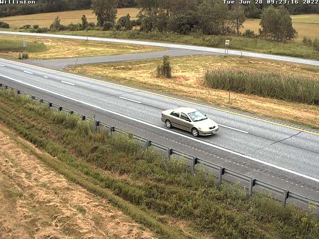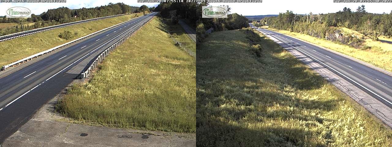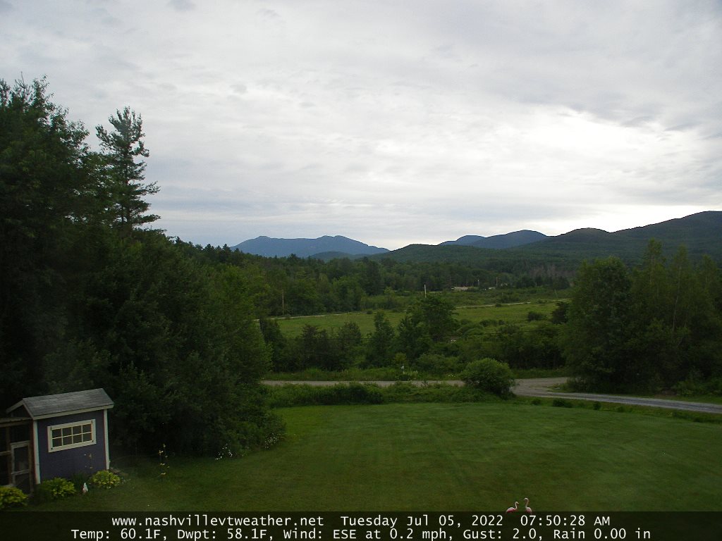
Updated Tuesday Morning Forecast — July 5th, 2022

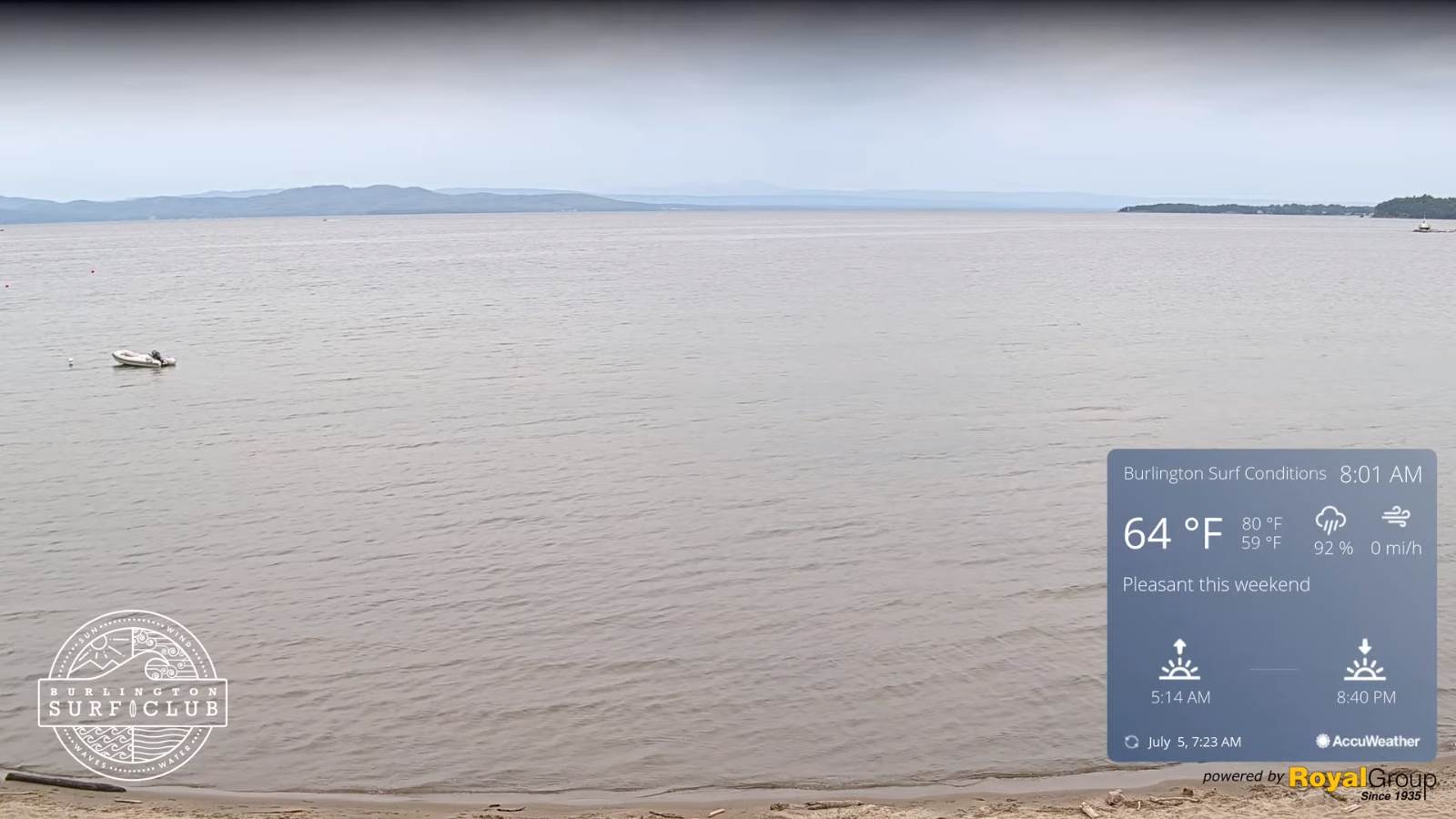
TODAY: Gray and cool. Showers becoming likely this afternoon. A high near 75. Light south winds.

TONIGHT: Variable cloudiness. Showers likely, a risk for thunder. A low near 60. Light southwest winds becoming northwesterly 10 to 15 mph.

WEDNESDAY: Scattered light showers, maybe an interval of sun late. A high 70 to 75. Northwest breeze 10 to 15 mph.
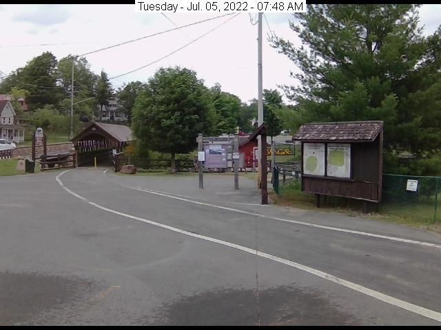
Looking further ahead…

WEDNESDAY NIGHT: Mostly clear. A low near 50.
THURSDAY: Partial morning sun then clouding up. A high upper 70s to near 80.

FRIDAY: Lots of clouds. Chance for showers, maybe a thunderstorm. Partial learing late. A low 55 to 60. A high upper 70s to around 80.
SATURDAY: Mostly sunny. A low around 50. A high in the mid to upper 60s.

SUNDAY: Partly to mostly sunny. A low in the 40s. A high in the mid-70s.

Average lows mid-50s to around 60. Average highs upper-70s to around 80.
RH/7-5[forecast][end]
Updated Independence Day Forecast — July 4th, 2022

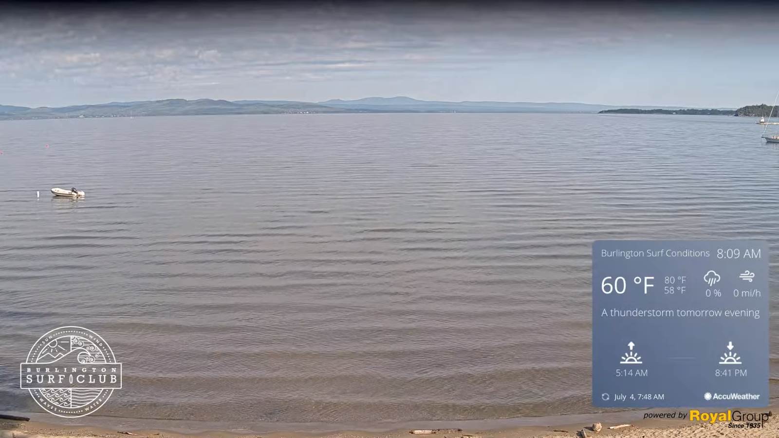
TODAY INDEPENDENCE DAY: Morning sunshine, then some high cloudiness, thickening up late. Pleasant A high near 75. Northwest breeze 10 mph.

TONIGHT: Lots of clouds. Chance for showers developing around daybreak. A low around 55. Light southwest winds.

TUESDAY: Mainly cloudy and cool’ish. Good chance for showers, moderate at times northern areas, with a risk for thunder late. A high around 70. Light southwest winds.

Looking further ahead…

TUESDAY NIGHT: Variable cloudiness. Scattered showers with a chance for thunderstorms. A low around 60.

WEDNESDAY: Considerable morning clouds, then increasing afternoon sunshine. A high 70 to 75.

THURSDAY: More sun than clouds. A low in the upper 40s. A high 75 to 80.

FRIDAY: Mixed clouds and sun. Chance for showers, and a risk for thunderstorms. A low around 55. A high in the lower 80s

Average lows mid-50s to around 60. Average highs upper-70s to around 80.

RH/7-4[forecast][end]
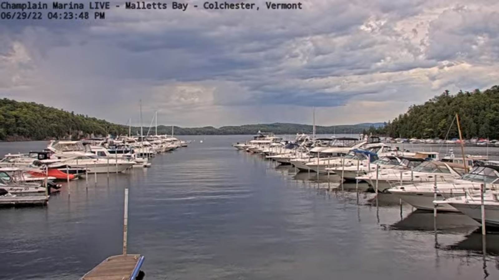
Updated Friday Evening Forecast — July 1st, 2022

TONIGHT: Partly cloudy warm and muggy this evening, then increasing clouds. Showers and possibly a few thunderstorms developing around or after midnight. Some storms may have brief gusty winds and heavy downpours around daybreak. A low 60 to 65. Light southwest winds otherwise.

TOMORROW: Any leftover showers/storms exiting by mid-morning. Otherwise increasing sunshine and pleasant. A high in the upper 70s. West breeze 10 mph in the afternoon.

SATURDAY NIGHT: Mostly clear. A low mid-50s. Light southwest winds.

SUNDAY: Mostly sunny. A high upper 70s to around 80. Northwest winds 10 to 15 in the afternoon.

Looking further ahead…

SUNDAY NIGHT: Mostly clear. A low in the lower 50s.

MONDAY Independence Day: Sunshine then some high cloudiness. Pleasant A high around 75.

TUESDAY: Mainly cloudy and cool’ish. Chance for showers and possible thunderstorms. A low near 60. A high 65 to 70.

WEDNESDAY: Sunshine after morning fog, then afternoon clouds. A low in the 50s. A high 70 to 75.

Average lows mid to upper 50s. Average highs mid-70s to around 80.

RH/7-1[forecast][end]
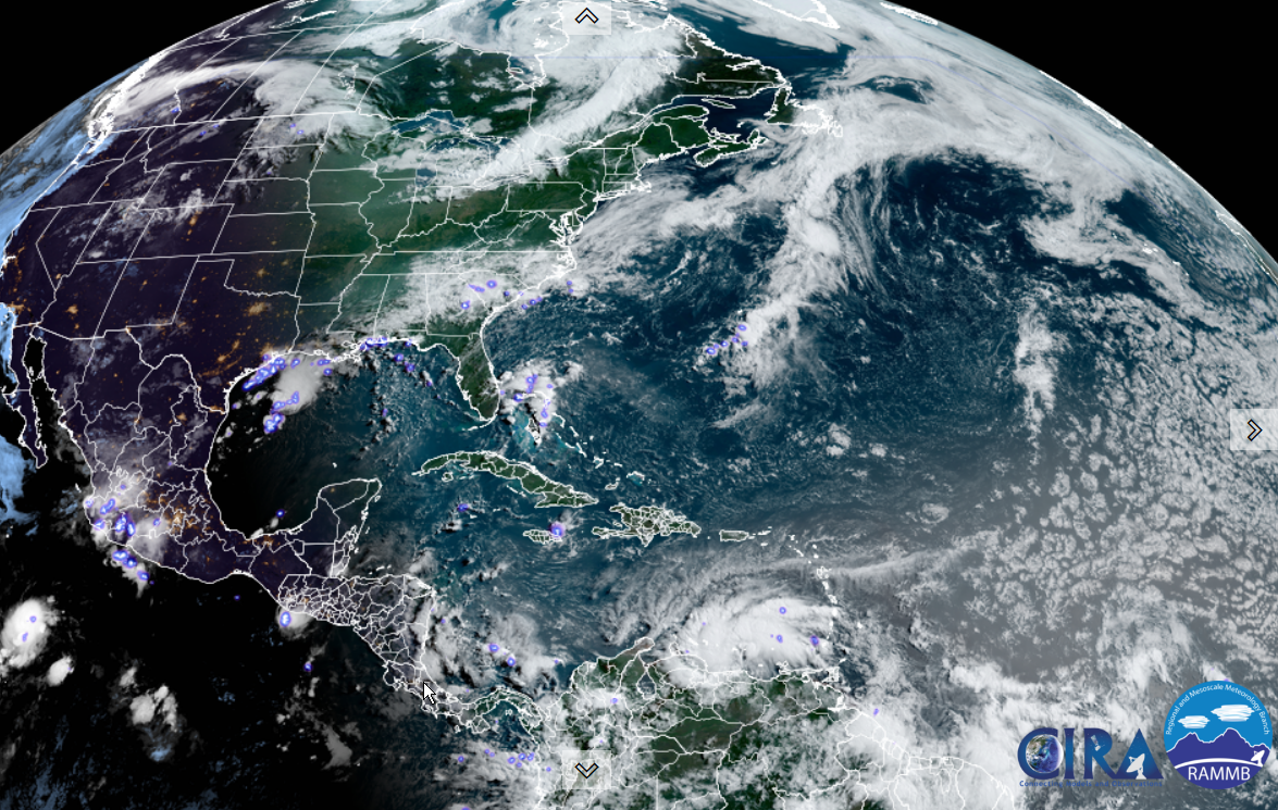
Updated Friday morning Forecast — July 1st, 2022

TODAY: Periods of sun mixed with more afternoon clouds. Warm and muggy. A high upper 80s to about 90. South to southwest winds picking up 10 to 15 mph.

TONIGHT: Mostly cloudy, and rather muggy. Widely scattered showers & a risk for thunder. A low 60 to 65. Light southwest winds.

SATURDAY: Partly cloudy, maybe a sprinkle early, then mostly sunny and pleasant. A high near 80. West to northwest breeze 10 mph in the afternoon.

Looking further ahead…

SATURDAY NIGHT: Mostly clear. A low mid-50s.

SUNDAY: Mostly sunny. A high upper 70s to around 80.

MONDAY Independence Day: Sunshine gives way to thickening clouds in the afternoon. A low in the low 50s. A high around 75.

TUESDAY: Mainly cloudy and cooler. Chance for showers and possible thunderstorms. A low near 55. A high in the upper 60s to about 70.

WEDNESDAY: Sunshine after morning fog, then afternoon clouds. A low in the 50s. A high 70 to 75.

Average lows mid to upper 50s. Average highs mid-70s to around 80.

RH/6-30[forecast][end]
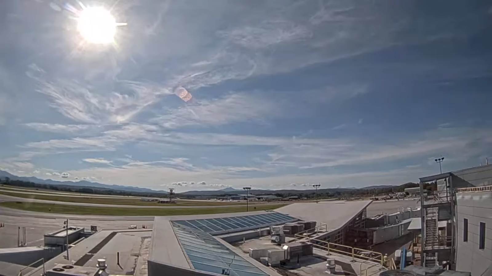
Updated Thursday Evening Forecast – June 30th, 2022

TONIGHT: Variable cloudiness. A low upper 50s to near 60. Light south winds.

TOMORROW: Mixed sun and clouds. Warm and humid. A high upper 80s to near 90. South to southwest winds picking up 10 to 15 mph.

FRIDAY NIGHT: Mostly cloudy, and rather muggy. Scattered showers & isolated thunderstorms, one or two briefly strong. A low 60 to 65. Light southwest winds.

SATURDAY: Partly cloudy, maybe a sprinkle early, then mostly sunny and pleasant. A high around 80. West top northwest breeze 10 mph in the afternoon.

Looking further ahead…

SATURDAY NIGHT: Mostly clear. A low mid-50s.

SUNDAY: Mostly sunny. A high upper 70s to around 80.

MONDAY Independence Day: Mixed sun and clouds. Slight chance for a shower. A low 50 to 55. A high 75 to 80.

TUESDAY: Partly sunny. Widely scattered showers and possible thunderstorms. A low near 55. A high in the mid-70s.

Average lows mid to upper 50s. Average highs mid-70s to around 80.

RH/6-30[forecast][end]
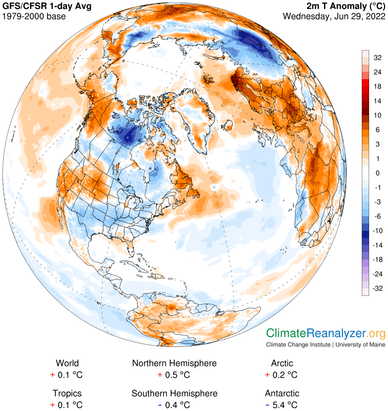
Updated Thursday morning Forecast – June 30th, 2022

TODAY: Sunshine giving way to high cloudiness this morning, thickening up late. Pleasant. A high 70 to 75. Northwest

breeze 10 mph.

TONIGHT: Cloudiness in the evening giving way to partial clearing overnight. A low upper 50s to near 60. Light south winds.

FRIDAY: Mixed sun and clouds. Warm and humid. A high upper 80s to near 90. South to southwest winds 10 to 15 mph.

Looking further ahead…

FRIDAY NIGHT: Mostly cloudy, and rather muggy. Scattered showers & isolated thunderstorms. A low 60 to 65.

SATURDAY: Partly cloudy, maybe a sprinkle early, then mostly sunny and pleasant. A high around 80.

SUNDAY: Partly to mostly sunny. A low mid-50s. A high upper 70s to around 80.

MONDAY Independence Day: Mostly cloudy, with a chance for a few showers and possible afternoon thunderstorms. A low in the mid-50s. A high near 80.

Average lows mid to upper 50s. Average highs mid-70s to around 80.

RH/6-30[forecast][end]
Updated Wednesday Evening Forecast — June 29th, 2022

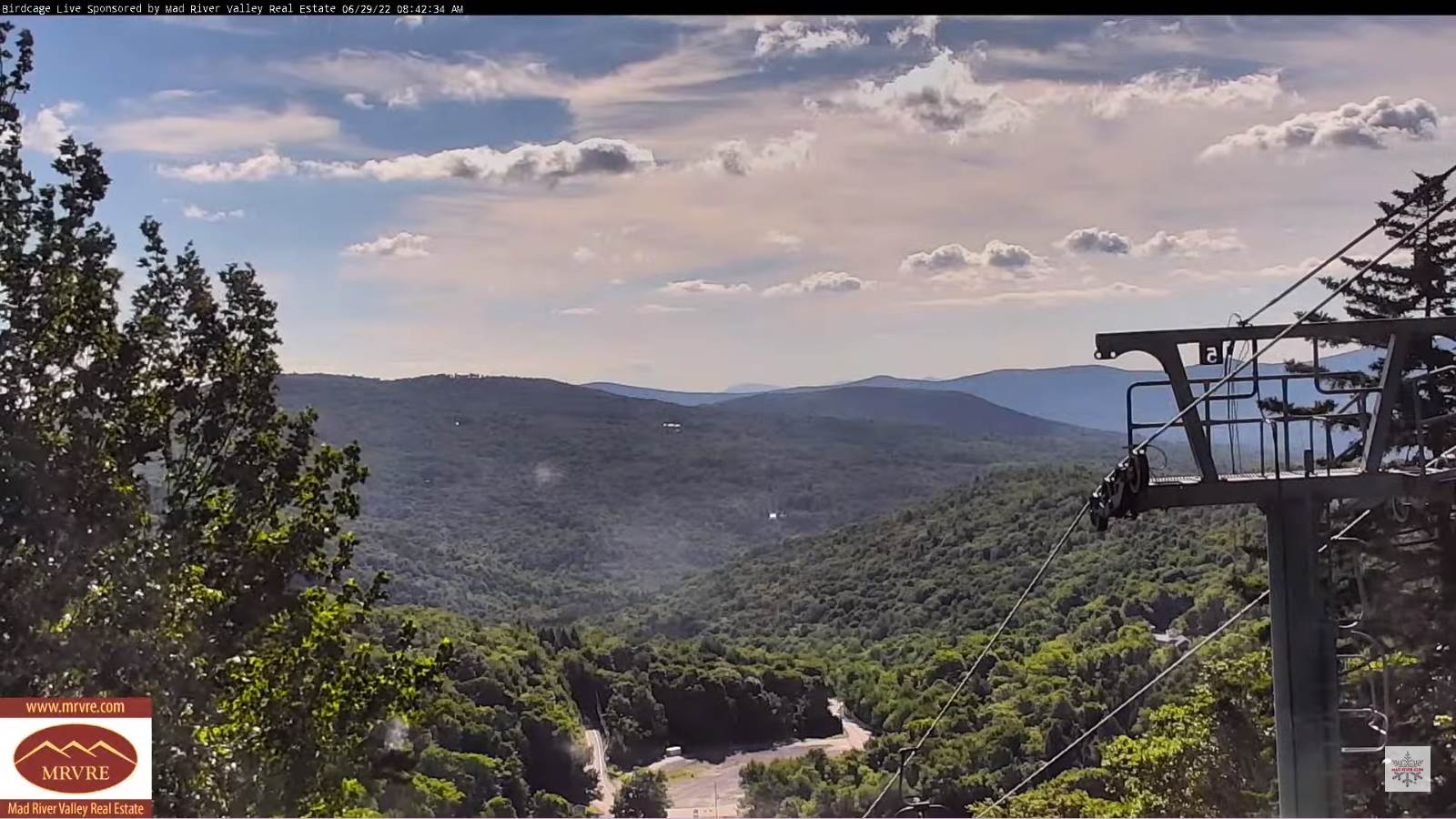
TONIGHT: Cloudy periods this evening. Widely scattered showers and maybe a rumble of thunder mainly north of the Barre-Montpelier area, giving way to partial clearing. Patchy valley fog overnight. A low in the low to mid 50s. Light west to northwest winds.

TOMORROW: Partial morning sunshine then clouding up in the afternoon. Pleasant. A high near 75. Northwest

breeze 10 mph.

THURSDAY NIGHT: Cloudiness in the evening giving way to partial clearing overnight. A low 55 to 60. Light southeast winds.

FRIDAY: Mixed sun and clouds. Warm and humid. A high 85 to 90. South to southwest winds 10 to 15 mph.

Looking further ahead…

FRIDAY NIGHT: Mostly cloudy, and rather muggy. Chance for a shower or isolated thunderstorm. A low 60 to 65.

SATURDAY: Partly cloudy, maybe a sprinkle early, then mostly sunny and pleasant. A high around 80.

SUNDAY: Partly to mostly sunny. A low mid-50s. A high upper 70s to around 80.

MONDAY Independence Day: Clouds, with a chance for a few showers and isolated afternoon thunderstorms. A low in the mid-50s. A high near 80.

Average lows mid to upper 50s. Average highs mid-70s to around 80.

RH/6-29[forecast][end]
Updated Wednesday morning Forecast — June 29th, 2022

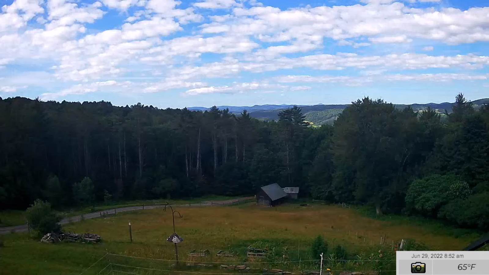
TODAY: Partial sunshine then more clouds arriving this afternoon. A late day shower or thunderstorm far northern areas. A high mid to upper 70s. Light southwest winds.

TONIGHT: Lots of clouds giving to partial clearing after midnight. Isolated showers & thunderstorms northern areas. Patchy valley fog. A low in the low to mid 50s. Light west winds.

THURSDAY: Morning sun, mixing with more clouds in the afternoon. Pleasant. A high around 75. Northwest breeze 10 mph.

Looking further ahead…

THURSDAY NIGHT: Partly cloudy. A low 55 to 60.

FRIDAY: Partly sunny. Hot and more humid. A high 85 to 90.

SATURDAY: Mostly cloudy & muggy. Chance for showers, and a few thunderstorms in the morning. Increasing sunshine in the afternoon and less humid. A low mid-60s. A high around 80.

SUNDAY: Partly to mostly sunny. A low mid-50s. A high in the low to mid 70s.

MONDAY Independence Day: Clouds, with a chance for showers and afternoon thunderstorms. A low in the mid-50s. A high near 80.

Average lows mid to upper 50s. Average highs mid-70s to around 80.

RH/6-29[forecast][end]
Updated Tuesday Evening Forecast — June 28th, 2022

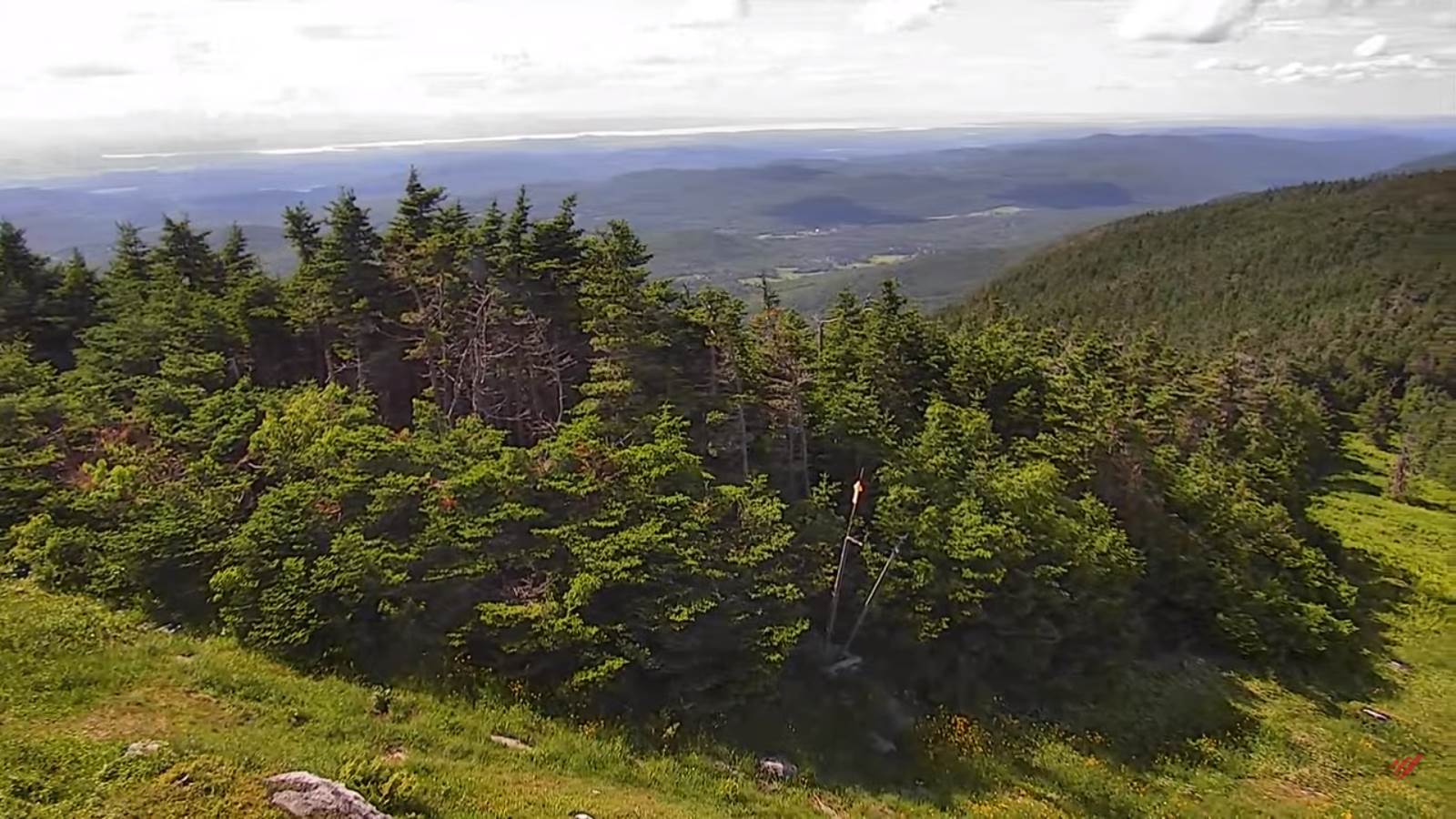
TONIGHT: Mostly clear. Isolated patches of valley fog. A low in the lower 50s. Little wind.

TOMORROW: Partial sunshine then more clouds in the afternoon. Maybe a late day shower or thunderstorm far northern areas. A high upper 70s. Light southwest winds.

WEDNESDAY NIGHT: Lots of clouds giving to partial clearing after midnight. Isolated showers & thunderstorms northern areas. Patchy valley fog. A low in the lower 50s. Light west winds.

THURSDAY: Morning sun, then partly cloudy in the afternoon. Pleasant. A high in the mid-70s. Northwest breeze 10 mph.

Looking further ahead…

THURSDAY NIGHT: A low in the upper 50s to around 60.

FRIDAY: Partly sunny. Hot and moderately humid. A rising chance for a late day thunderstorm, possibly strong. A high mid-80s northern areas to near 90 central and southern areas.

SATURDAY: Mostly cloudy & muggy. Widely scattered showers and thunderstorms. A low mid-60s. A high around 80.

SUNDAY: Partly sunny. A low mid-50s. A high in the low to mid 70s.

MONDAY Independence Day: Clouds with a chance for showers and thunderstorms early morning…then partial clearing and pleasant. A low in the mid-50s. A high near 80.

Average lows mid to upper 50s. Average highs mid-70s to around 80

RH/6-28[forecast][end]
Updated Tuesday Morning Forecast — June 28th, 2022

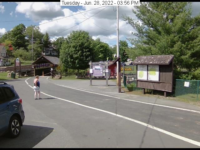
TODAY: A few passing sprinkles this morning giving way to frequent intervals of sunshine. A high in the lower 70s. Northwest winds 10 mph.

TONIGHT: Mostly clear. Isolated patches of valley fog. A low in the lower 50s. Little wind.

WEDNESDAY: Partial sun gives way to afternoon cloudiness. A high pushing 80. Light southwest winds.

Looking further ahead…

WEDNESDAY NIGHT: Partly cloudy. Isolated thunderstorms near the Canadian border. A low in the mid-50s.

THURSDAY: Clouds mixed with periods of sun. A high near 75.

FRIDAY: Partly sunny. Hot and moderately humid. Maybe a late day thunderstorm far north. A low in the upper 50s to around 60. A high mid-80s northern areas to near 90 central and southern areas.

SATURDAY: Mostly cloudy & muggy. Chance for showers and afternoon thunderstorms. A low mid-60s. A high

in the mid-70s.

SUNDAY: Partly sunny. A low mid-50s. A high in the low to mid 70s.

Average lows mid to upper 50s. Average highs mid-70s to around 80

RH/6-27[forecast][end]