Updated Tuesday Evening Forecast — July 12th, 2022

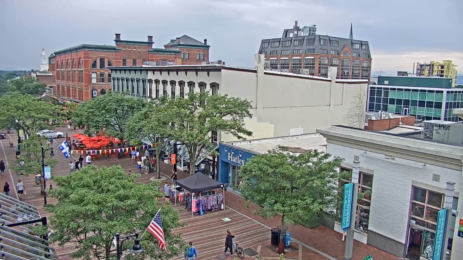
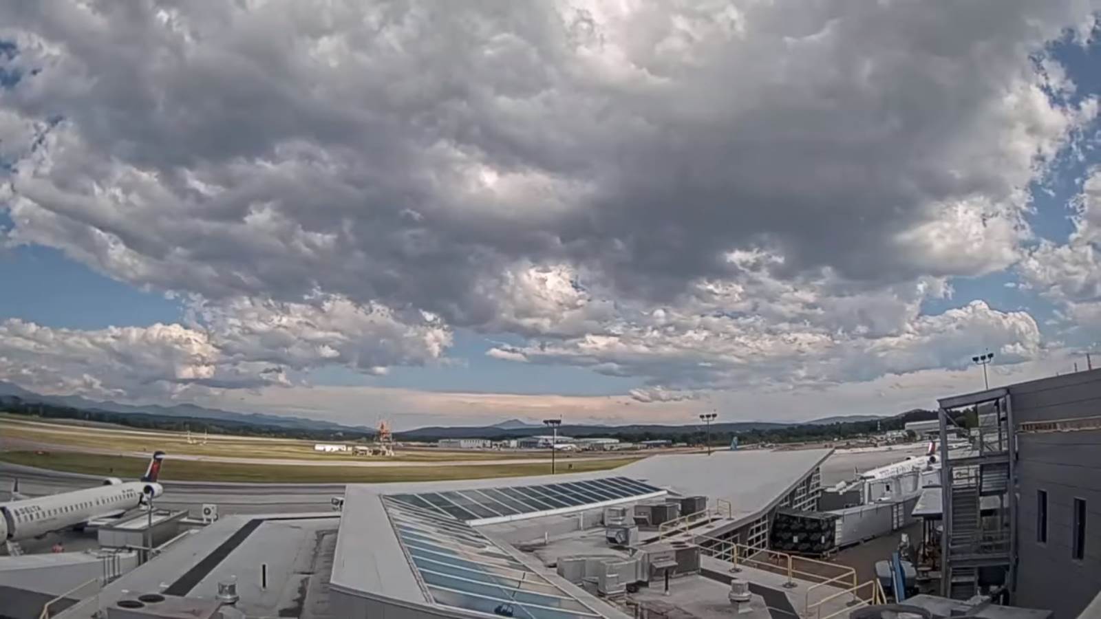
TONIGHT: Isolated leftover shower or thunderstorm this evening eastern and northern areas, exiting to partially moonlit skies. Patchy valley fog. A low in the upper 50s to around 60. Light west winds.

Full Buck Moon 2:37 PM Wednesday

TOMORROW: Partly sunny & moderately humid. Maybe a brief late day sprinkle. A high in the upper 70s. Light northwest winds.

WEDNESDAY NIGHT: Mostly clear and moonlit in the evening. More clouds overnight with a rising chance for a shower around daybreak. Isolated valley fog. A low mid-50s.
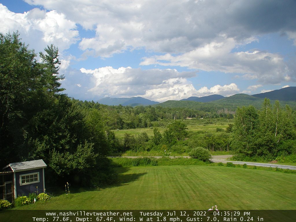
THURSDAY: More sun than clouds. Moderately humid. Widely scattered showers, maybe a rumble of thunder. A high about 75.

Looking further ahead…

THURSDAY NIGHT: Slight chance for an evening showers then gradual clearing. A low in the mid-50s.

FRIDAY: Partly to mostly sunny. Moderately humid. A high in the upper 70s.
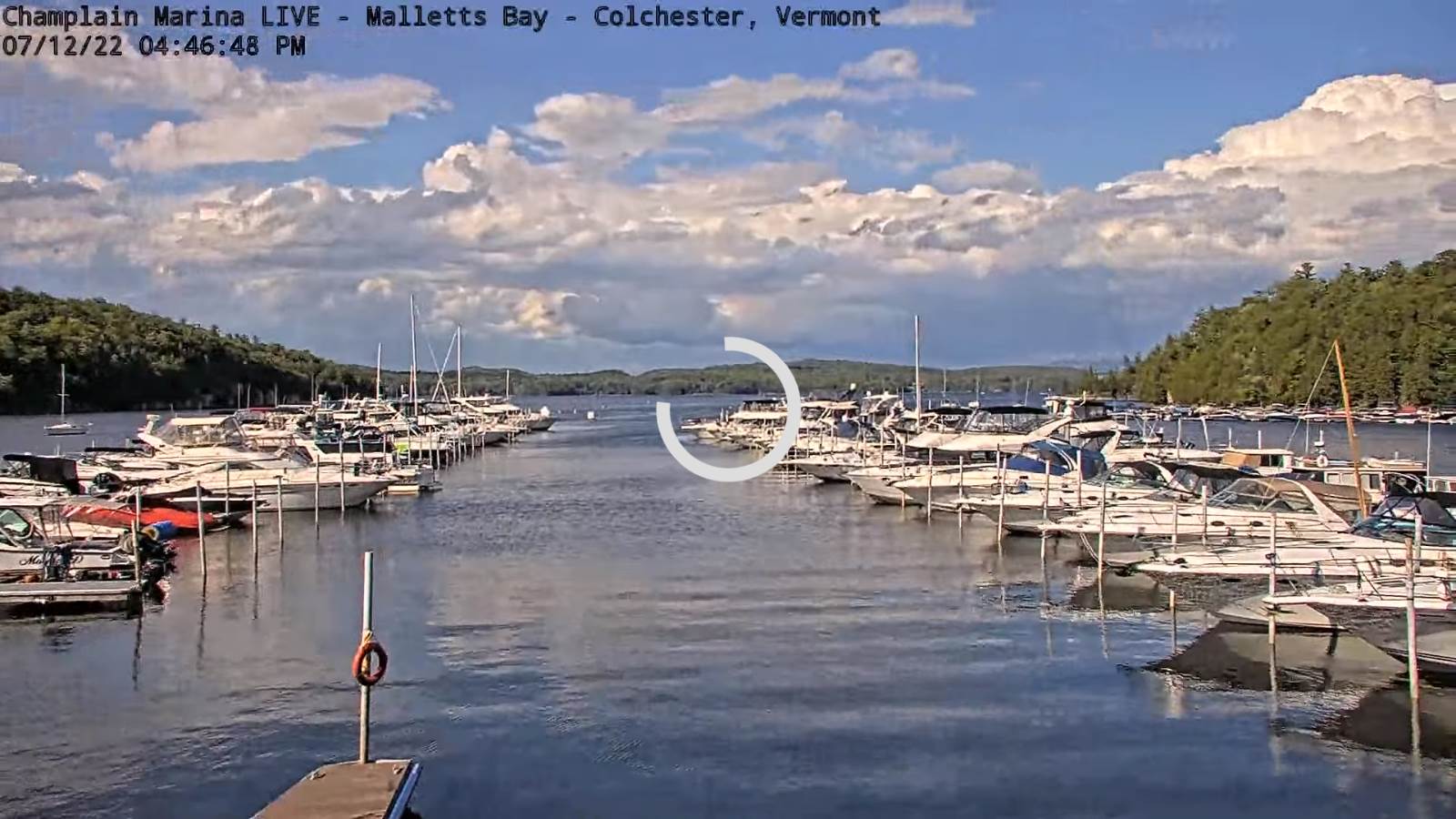
SATURDAY: Mostly sunny and gorgeous. A low near 55. A high near 85.

Average lows mid-50s to low 60s. Average highs upper-70s to low 80s

RH/7-12[forecast][end]
Updated Tuesday Morning Forecast — July 12th, 2022

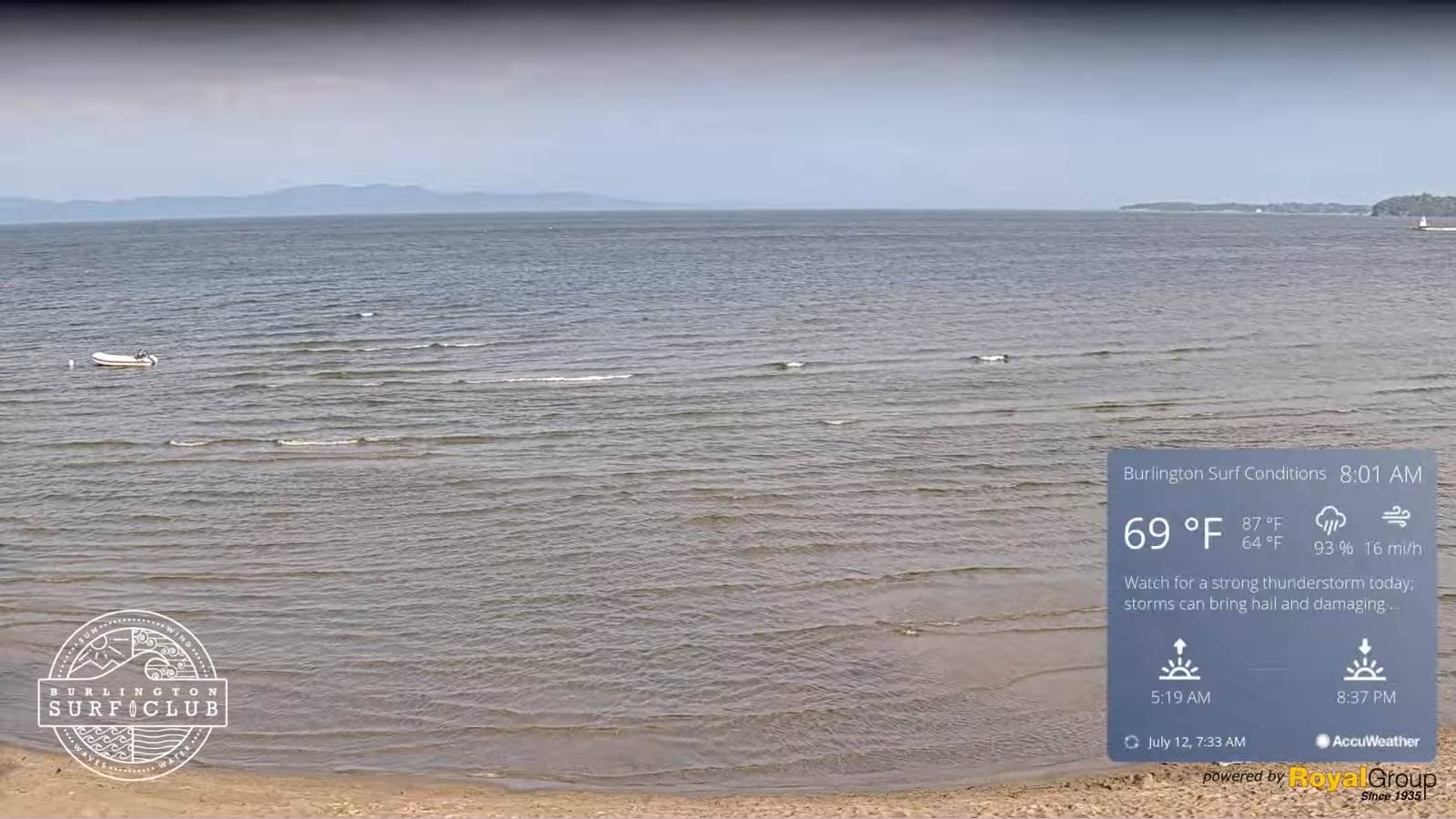
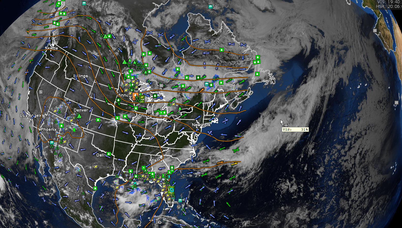
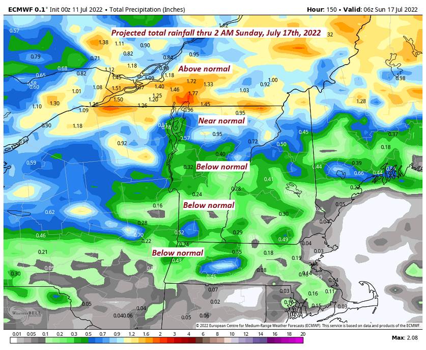
TODAY: A few showers arrive this morning, especially northern areas. Intervals of hazy sunshine this afternoon. Isolated to widely scattered afternoon thunderstorms redeveloping…one or two strong to locally severe with briefly heavy downpours. Muggy. A high 80 to 85. Southwest breeze 10 to 20 mph.

TONIGHT: Isolated leftover showers or thunderstorms this evening eastern and northern areas, exiting to partially moonlit skies. Patchy valley fog. A low in the upper 50s to around 60. Light west winds.

Full Buck Moon 2:37 PM Wednesday

WEDNESDAY: Partly sunny & moderately humid. Maybe a brief late day sprinkle. A high in the upper 70s. Light northwest winds.

Looking further ahead…

WEDNESDAY NIGHT: Mostly clear and moonlit. Isolated valley fog. A low near 55.

THURSDAY: More sun than clouds. Moderately humid. Widely scattered showers, maybe a rumble of thunder. A high mid-70s.

FRIDAY: Partly to mostly sunny. Moderately humid. A low in the mid-50s. A high in the upper 70s.

SATURDAY: Mostly sunny and gorgeous. A low near 55. A high near 85.

Average lows mid-50s to low 60s. Average highs upper-70s to low 80s

RH/7-12[forecast][end]
Updated Monday evening Forecast — July 11th, 2022

TONIGHT: Fair this evening. Cloudy periods overnight with a rising chance for a shower around daybreak. A low near 65. Light south winds…stronger near Lake Champlain.

TOMORROW: Clouds with periods of hazy sunshine. Scattered showers and afternoon thunderstorms. Some, possibly strong to locally severe heavy downpours. Muggy. A high 80 to 85. Southwest breeze 10 to 20 mph.

TUESDAY NIGHT: A leftover evening shower or thunderstorm, otherwise partially moonlit. Patchy valley fog. A low in the lower 60s. Light west winds.

Full Buck Moon 2:37 PM Wednesday

WEDNESDAY: Partly to mostly sunny & less humid. A high around 80. Light northwest winds.

Looking further ahead…

WEDNESDAY NIGHT: Mostly clear and moonlit. Isolated valley fog. A low around 55.

THURSDAY: More sun than clouds. Moderately humid. Widely scattered showers and thunderstorms. A high mid to upper 70s.

FRIDAY: Partly to mostly sunny. Moderately humid. A low in the mid-50s. A high in the mid-70s.

SATURDAY: Mostly sunny and gorgeous. A low near 55. A high 80 to 85.

Average lows mid-50s to low 60s. Average highs upper-70s to low 80s

RH/7-11[forecast][end]
Updated Monday morning Forecast — July 11th, 2022

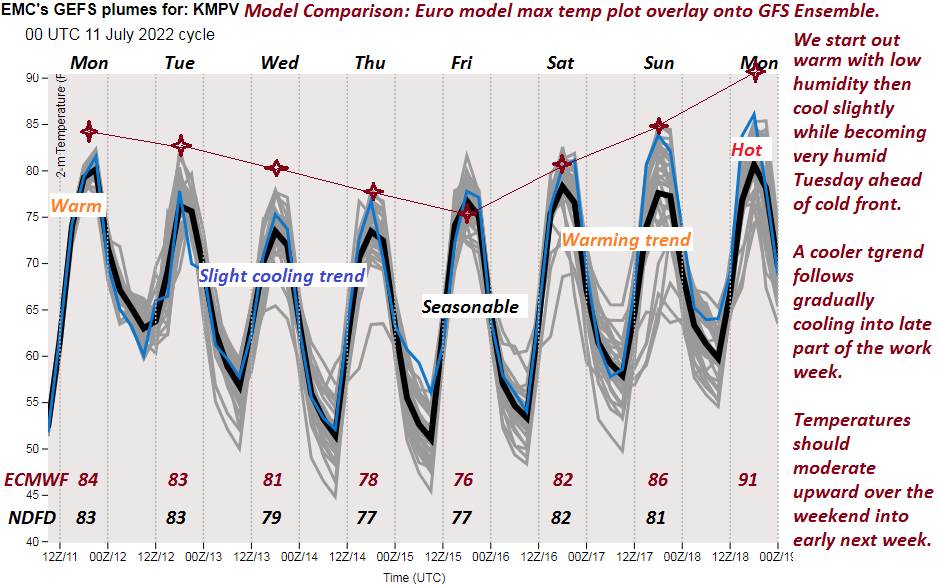
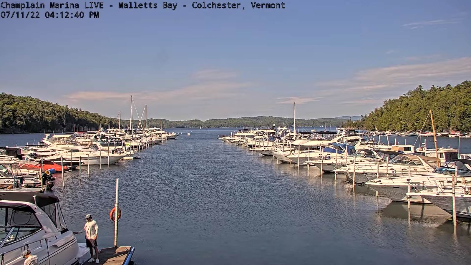
TODAY: A beauty. Sunshine with periods of high clouds. Warmer with low humidity, and a high pushing to near 85. Southwest breeze 10 mph.

TONIGHT: Fair this evening. Cloudy periods overnight with a rising chance for a shower. A low near 65. Light south winds…stronger near Lake Champlain.

TUESDAY: Clouds with periods of hazy sunshine. Scattered showers and afternoon thunderstorms. Some, possibly strong to locally severe heavy downpours. Muggy. A high in the low 80s. Southwest breeze 10 to 15 mph.

Looking further ahead…

TUESDAY NIGHT: A leftover evening shower or thunderstorm, otherwise partially moonlit. Patchy valley fog. A low in the lower 60s.

Full Buck Moon 2:37 PM Wednesday

WEDNESDAY: Partly sunny and less humid. A high around 80.

THURSDAY: More sun than clouds. Moderately humid. Widely scattered showers and thunderstorms. A low mid to upper 50s. A high around 75.

FRIDAY: Partly to mostly sunny. Moderately humid. A low in the mid-50s.A high in the mid-70s.

SATURDAY: Mostly sunny and gorgeous. A low 50 to 55. A high mid to upper 70s.

Average lows mid-50s to low 60s. Average highs upper-70s to low 80s

RH/7-11[forecast][end]
Updated Friday morning Forecast — July 8th, 2022

TODAY: Morning fog burns off to partial sunshine. Isolated afternoon showers especially northern areas. A high 75 to 80. Light west winds.

TONIGHT: A few evening clouds, then clearing & partially moonlit. Patchy valley fog. A low near 55. Light north winds.

SATURDAY: Bright sunshine but rather cool. A high in the lower 70s. Northwest winds 10 mph.

Looking further ahead…

SATURDAY NIGHT: Clear. Partially moonlit. Patchy valley fog. A low 45 to 50.

SUNDAY: Mostly sunny with some high cloudiness in the afternoon. A high near 75.

MONDAY: Clouds, with intervals of sun. A low 50 to 55. A high in the lower 80s.

TUESDAY: Mixed sun and clouds. Scattered showers and afternoon thunderstorms. A low in the low 60s. A high upper 70s to lower 80s.

Full Buck Moon 2:37 PM Wednesday

WEDNESDAY: Partly sunny. Isolated showers, afternoon thunderstorm. A low 60 to 65. A high 80 to 85 coolest northern areas.

Average lows mid-50s to around 60. Average highs upper-70s to around 80.

RH/7-8[forecast][end]
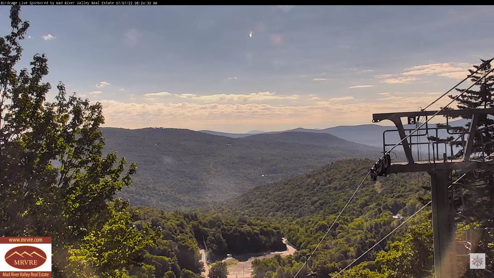
Updated Thursday Night Forecast — July 7th, 2022

TONIGHT: A few high clouds. Patchy valley fog. A low in the mid-50s. Light south winds.

TOMORROW: Partly sunny. Isolated showers northern areas. A high 75 to 80. Light west winds.

FRIDAY NIGHT: A few evening clouds with an isolated shower northern areas, then clearing. Patchy valley fog. A low near 55. Light north winds.

SATURDAY: Bright sunshine but rather cool. A high upper 60s to about 70. Northwest winds 10 mph.

Looking further ahead…

SATURDAY NIGHT: Clear. Partially moonlit. Patchy valley fog. A low 45 to 50.

SUNDAY: Mostly sunny with some high cloudiness. A high near 75.

MONDAY: Clouds, with intervals of sun. A low 50 to 55. A high in the lower 80s.

TUESDAY: Mixed sun and clouds. Scattered showers and afternoon thunderstorms. A low in the low 60s. A high mid-80s to near 90 warmer southern areas.

WEDNESDAY: Partly sunny. Isolated showers, afternoon thunderstorm. A low 60 to 65. A high 80 to 85 coolest northern areas.

Average lows mid-50s to around 60. Average highs upper-70s to around 80.

RH/7-7[forecast][end]
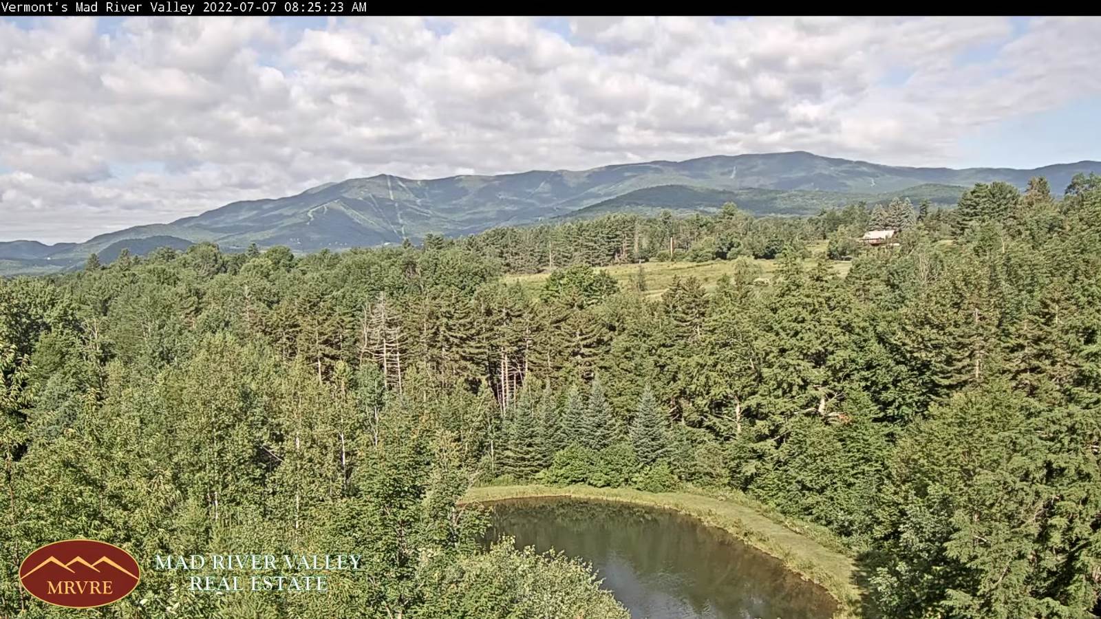
Updated Thursday Morning Forecast — July 7th, 2022

TODAY: Morning fog then lots of sunshine with more afternoon clouds. A high in the upper 70s. Light southwest winds.

TONIGHT: Partly cloudy. Patchy valley fog. A low in the mid-50s. Light southwest winds.

FRIDAY: Sun and clouds. Widely scattered afternoon showers, maybe a rumble of thunder. A high 75 to 80. South to southeast breeze 10 mph.

Looking further ahead…

FRIDAY NIGHT: Clear skies. Patchy valley fog. A low 50 to 55.

SATURDAY: Mostly sunny. A high about 70.

SUNDAY: Mostly sunny with some high cloudiness. A low upper 40s to about 50. A high around 75.

MONDAY: Clouds, with intervals of sun. A low mid-50s to near 60. A high in the lower 80s.

TUESDAY: Mixed sun and clouds. Scattered showers and a few afternoon thunderstorms possible. A low near 60. A high

80 to 85, warmer southern areas.

WEDNESDAY: Partly sunny. Isolated showers, afternoon thunderstorm. A low 60 to 65. A high 80 to 85 coolest northern areas.

Average lows mid-50s to around 60. Average highs upper-70s to around 80.

RH/7-7[forecast][end]
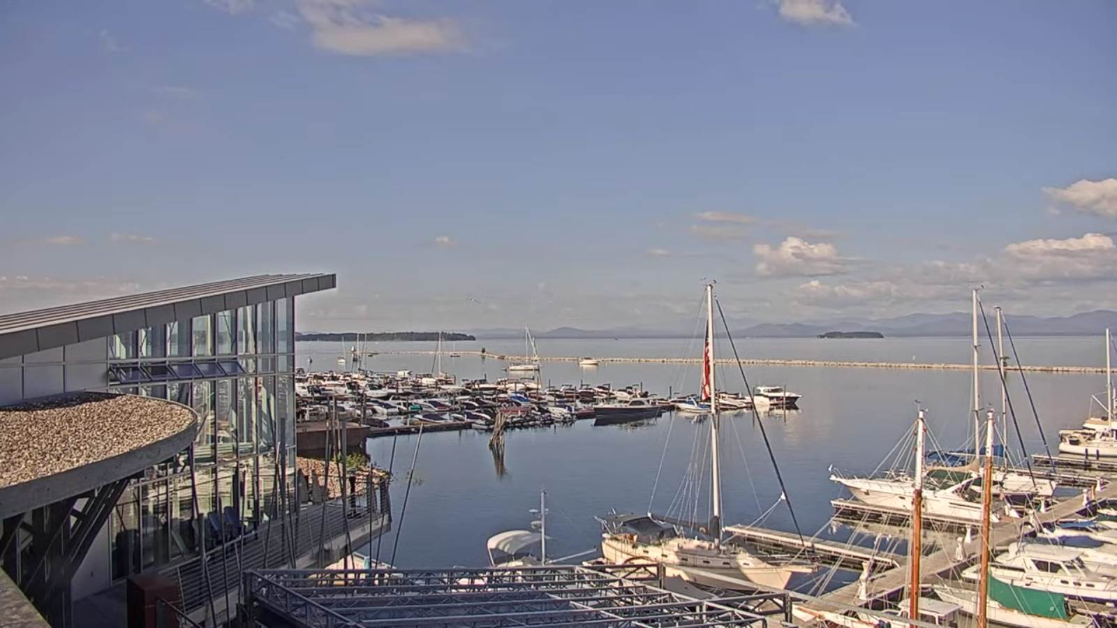
Updated Wednesday Evening Forecast — July 6th, 2022

TONIGHT: Mostly clear. Patchy valley fog. A low about 50. Little wind.

TOMORROW: Periods of sunshine gives way to more clouds. Slightly muggy. A high in the upper 70s. Light southwest winds.

THURSDAY NIGHT: Partly cloudy. Patchy valley fog. A low upper 50s to around 60. Light southwest winds.

FRIDAY: Sun and clouds. Widely scattered afternoon showers, maybe a rumble of thunder. A high mid to upper 70s. South to southeast breeze 10 mph.

Looking further ahead…

FRIDAY NIGHT: Clear skies. A low 50 to 55.

SATURDAY: Mostly sunny. A high about 70.

SUNDAY: Mostly sunny with some high cloudiness. A low 45 to 50. A high around 75.

MONDAY: Clouds, with intervals of sun. A low around 55. A high in the lower 80s.

Average lows mid-50s to around 60. Average highs upper-70s to around 80.

RH/7-6[forecast][end]
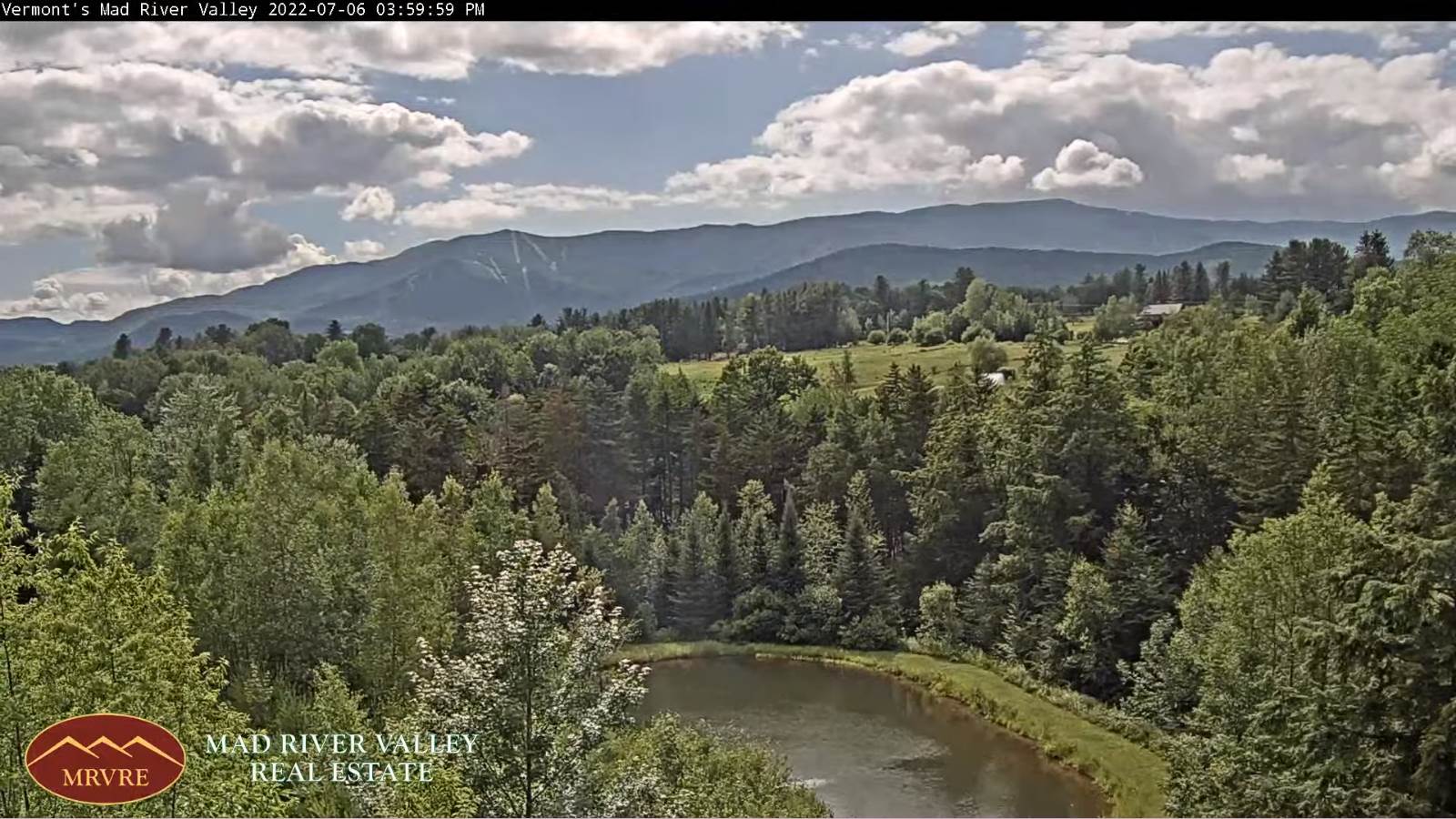
Updated Wednesday Morning Forecast — July 6th, 2022

TODAY: Starting out damp, with pockets of leftover morning drizzle & sprinkles early, otherwise a transition to increasing afternoon sun. Becoming breezy. A high in the low 70s. Northwest breeze 10 to 20 mph.

TONIGHT: Mostly clear. Patchy valley fog. A low about 50. Little wind.

THURSDAY: Periods of sunshine gives way to mostly cloudy skies. Slightly muggy. A high in the upper 70s. Light southwest winds.

Looking further ahead…

THURSDAY NIGHT: Partly cloudy. Patchy valley fog. A low upper 50s to around 60.

FRIDAY: Sun and clouds. Widely scattered afternoon showers, maybe a rumble of thunder. Partial clearing developing in the afternoon. A high mid to upper 70s.

SATURDAY: Mostly sunny. A low 50 to 55. A high about 70.

SUNDAY: Mostly sunny with some high cloudiness. A low 45 to 50. A high around 75.

MONDAY: Partly sunny with more clouds later on. A low around 55. A high in the lower 80s.

Average lows mid-50s to around 60. Average highs upper-70s to around 80.

RH/7-6[forecast][end]
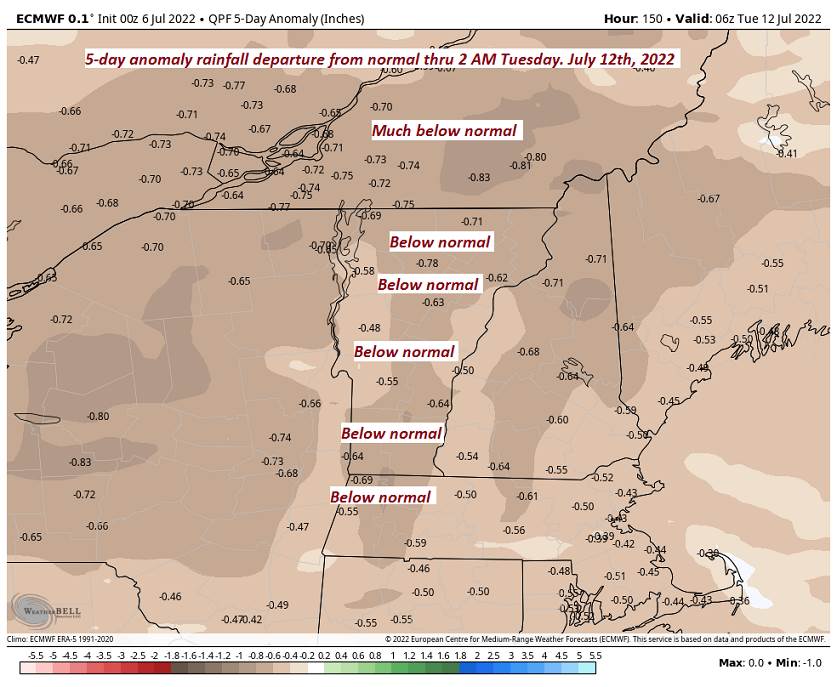
Updated Tuesday Evening Forecast — July 5th, 2022

TONIGHT: Lots of clouds. Showers likely, a risk for thunder southern areas. A low near 60. Light south winds becoming northwesterly 10 to 15 mph.

TOMORROW: Scattered light showers in the morning, exiting to partial afternoon sunshine. A high in the lower 70s. Northwest breeze 10 to 20 mph.

WEDNESDAY NIGHT: Mostly clear. A low near 50. Little winds.

THURSDAY: Partial morning sun then more clouds. Slightly muggy. A high upper 70s to near 80. Light southwest winds.

Looking further ahead…

THURSDAY NIGHT: Mostly cloudy. A low upper 50s to around 60.

FRIDAY: Lots of clouds. Chance for showers, maybe a thunderstorm. Partial clearing developing in the afternoon. A high low to mid 70s.

SATURDAY: Mostly sunny. A low lower 50s. A high 65 to 70.

SUNDAY: Mostly sunny with more clouds late. A low mid-40s to near 50. A high around 75.

Average lows mid-50s to around 60. Average highs upper-70s to around 80.

RH/7-5[forecast][end]