Updated Wednesday Morning Forecast — November 30th, 2022

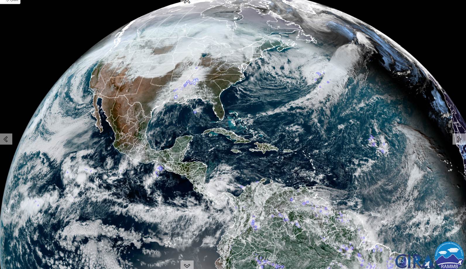
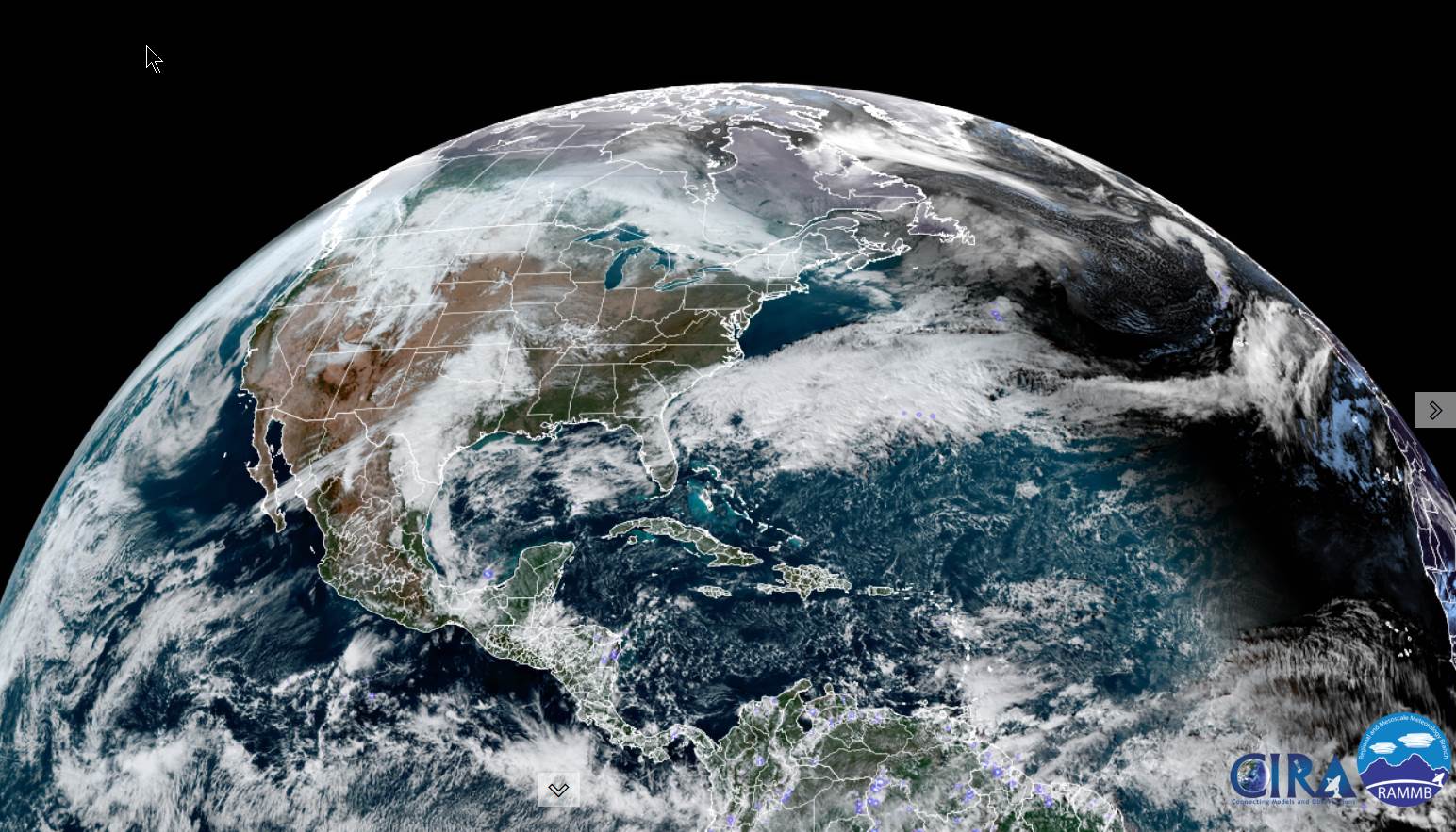
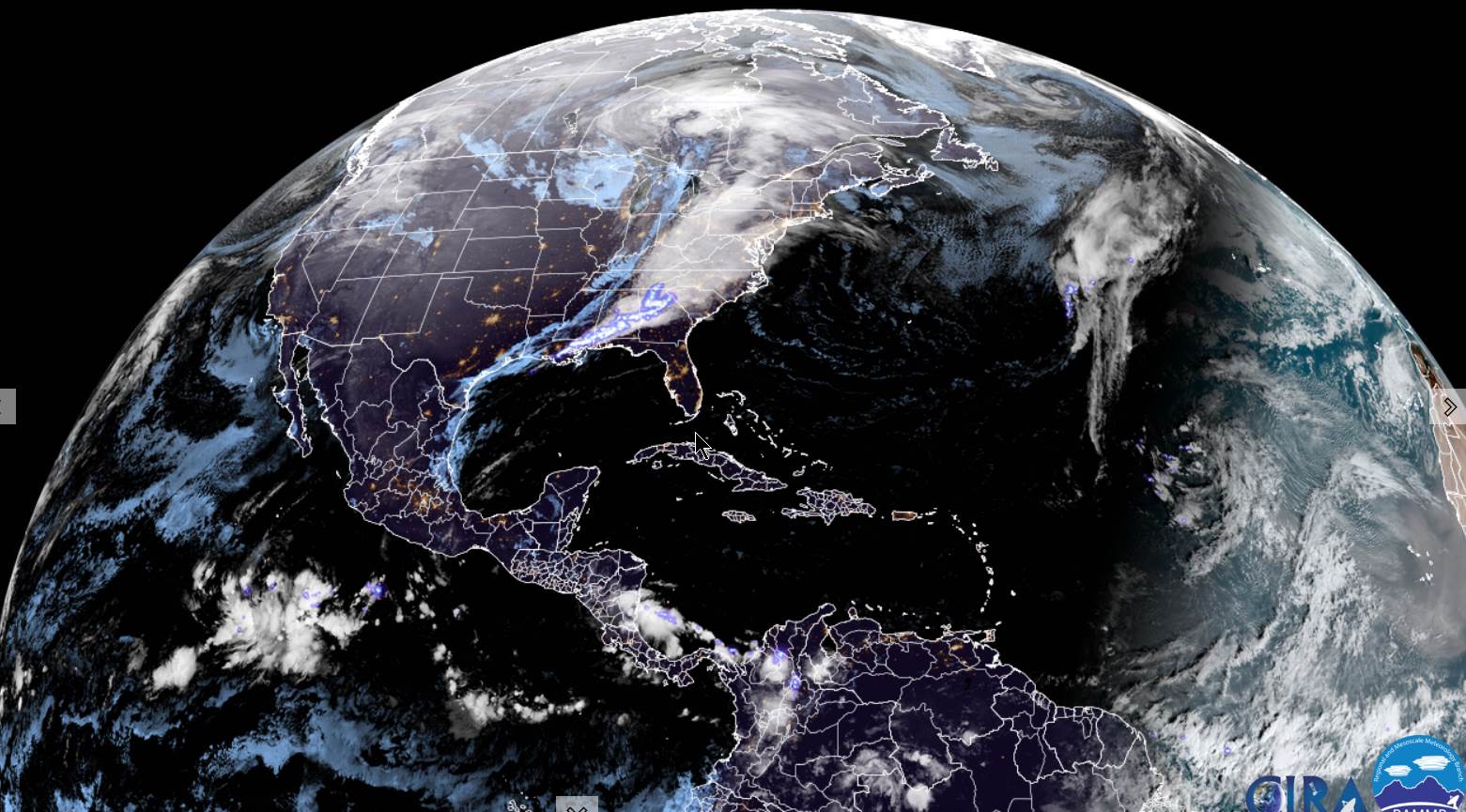
Wind Advisory 7 AM Wednesday thru 10 PM…

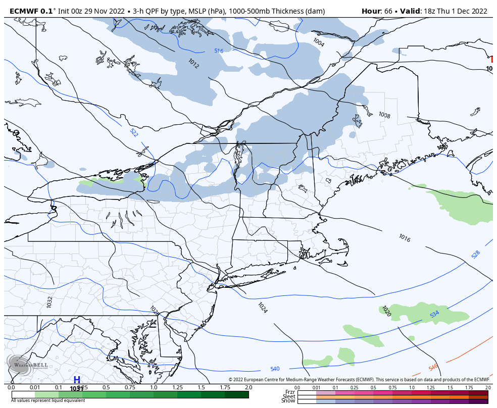
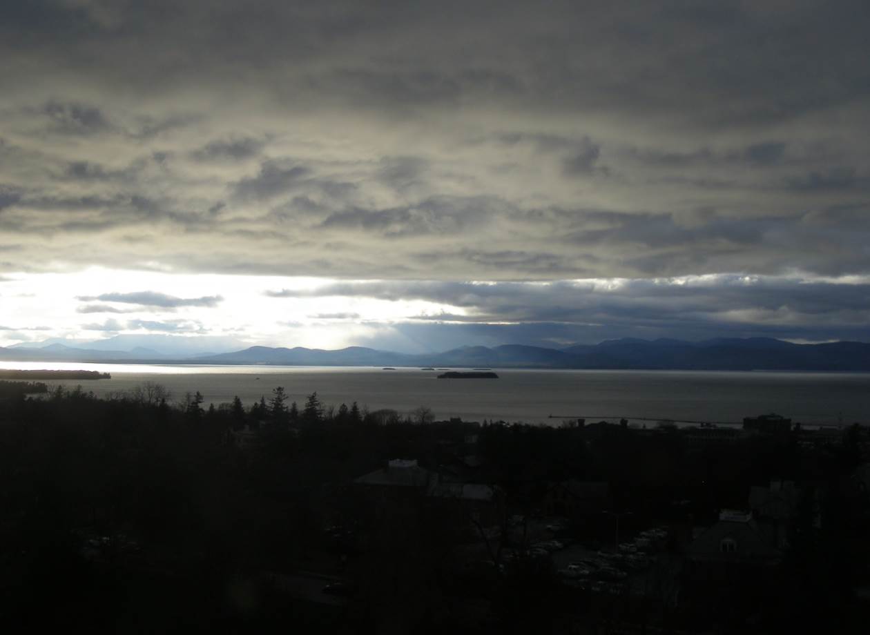
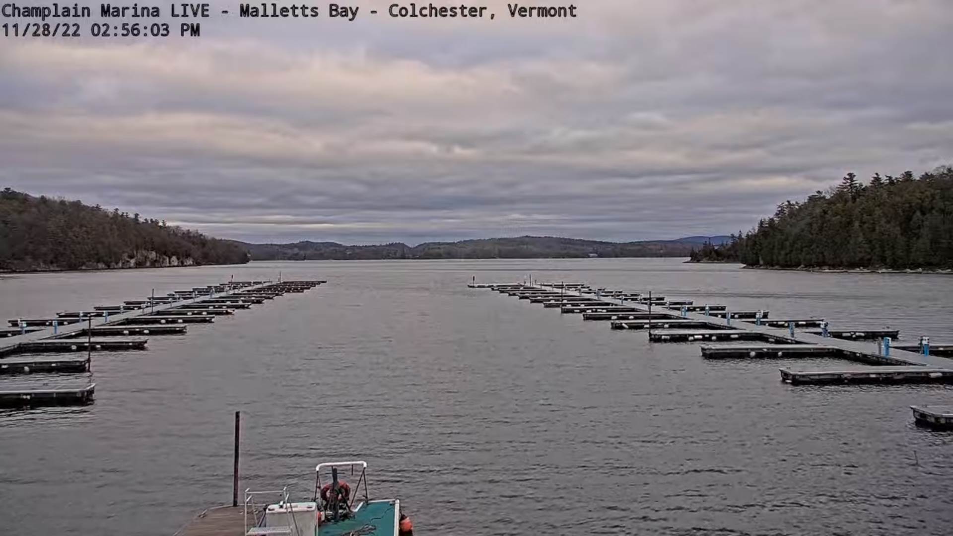
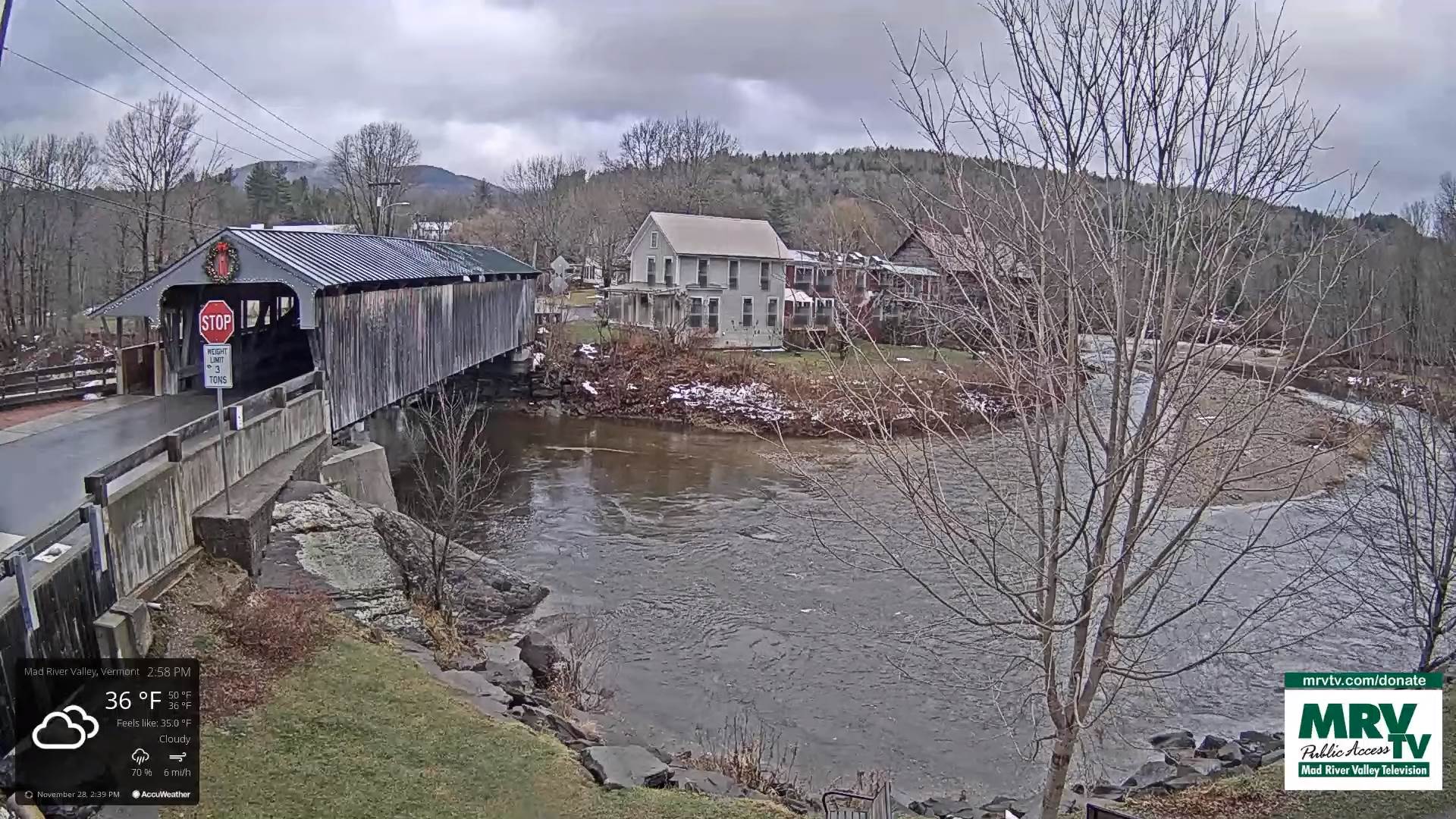
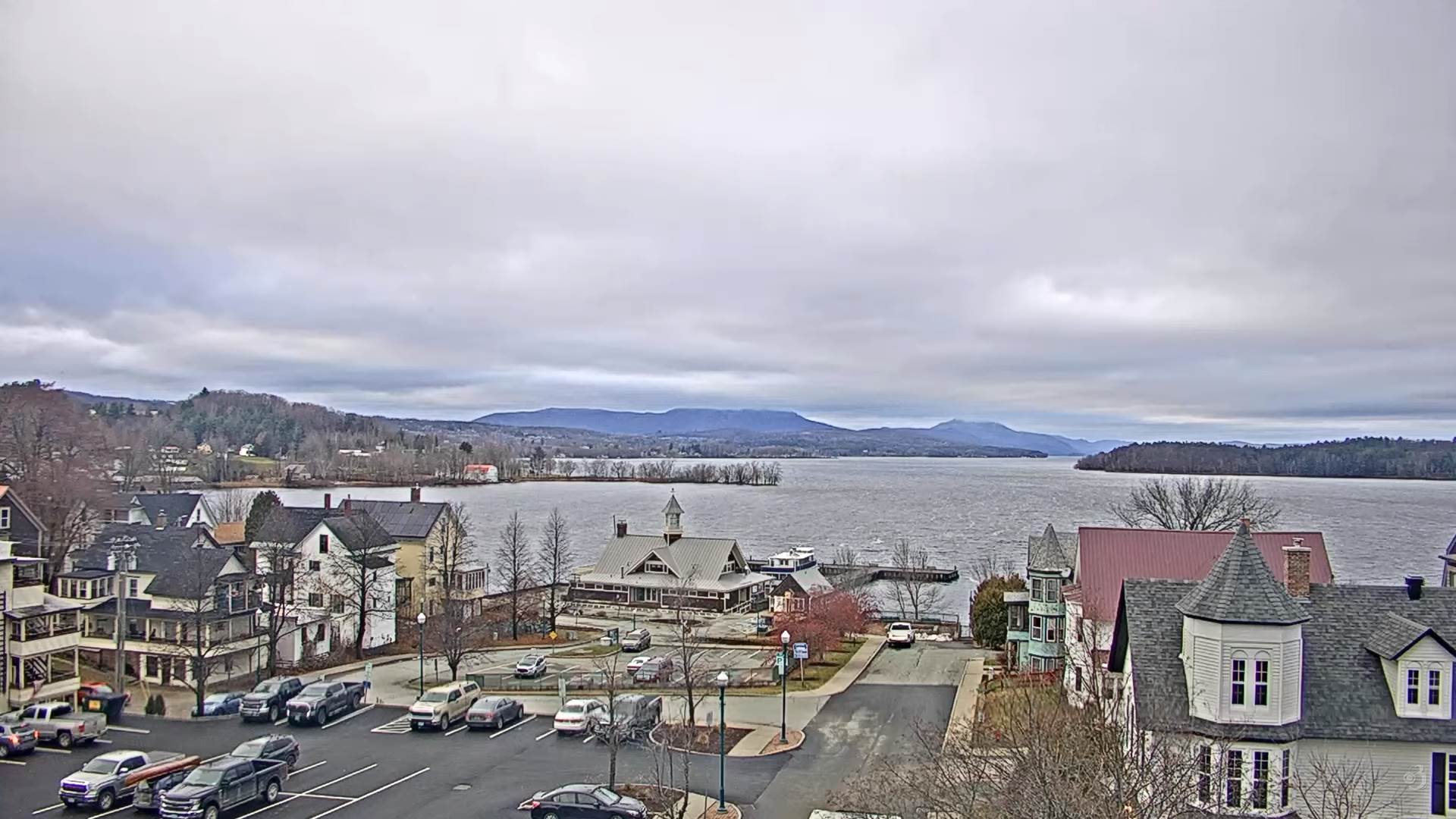
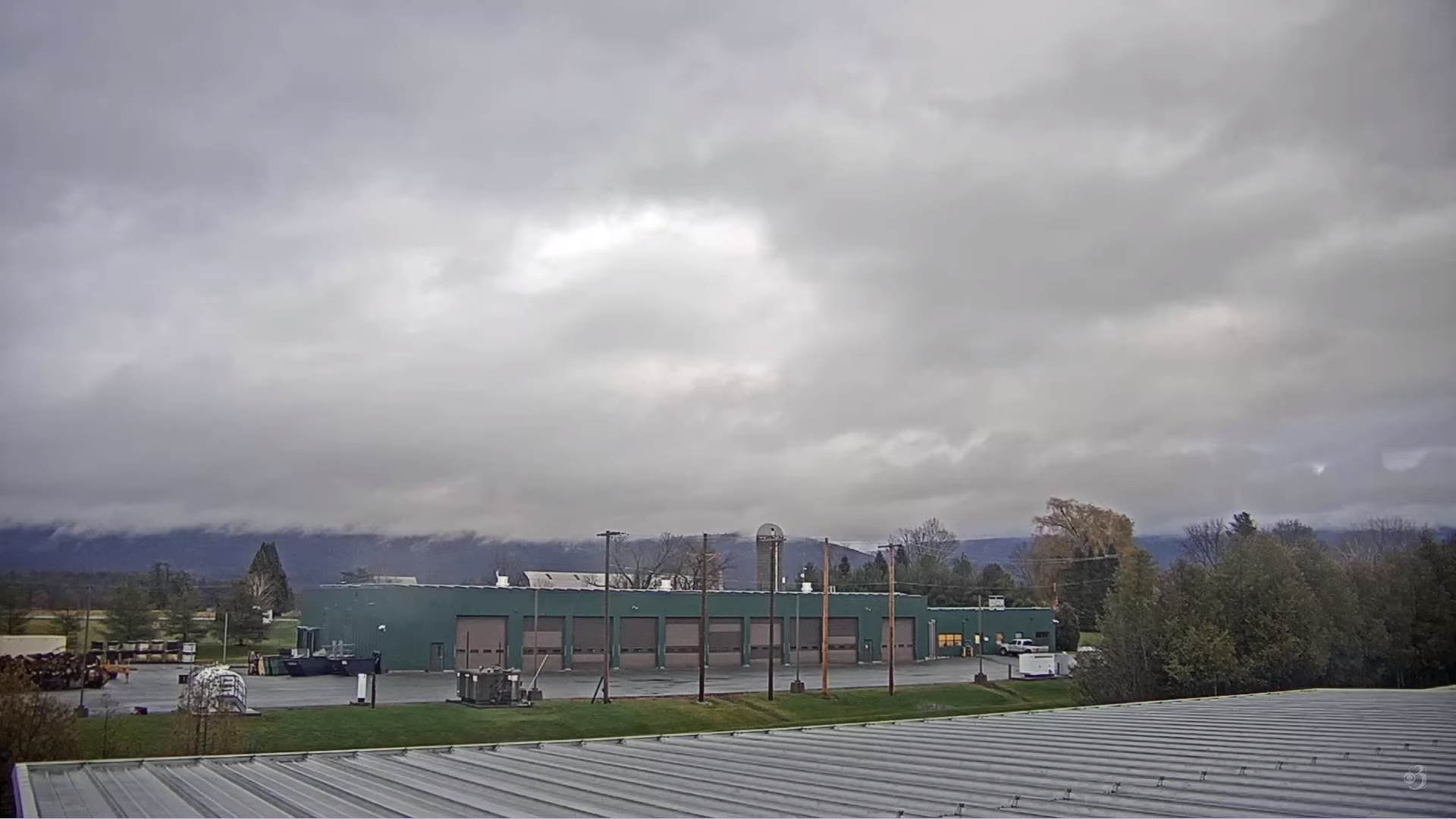
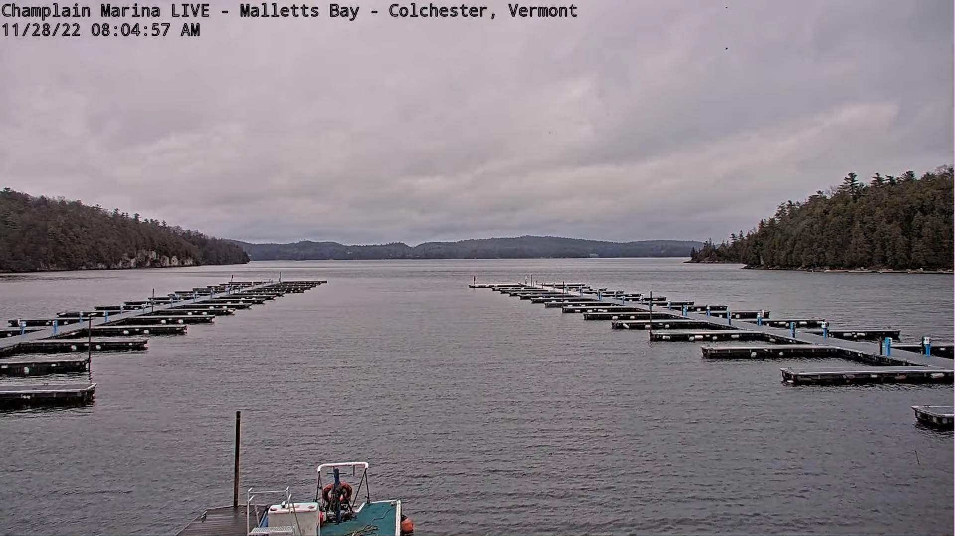
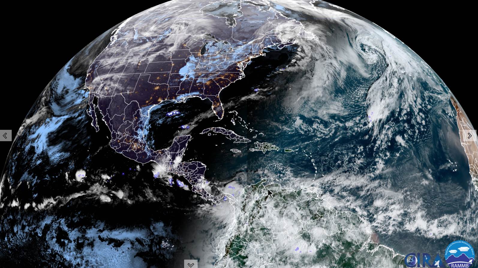
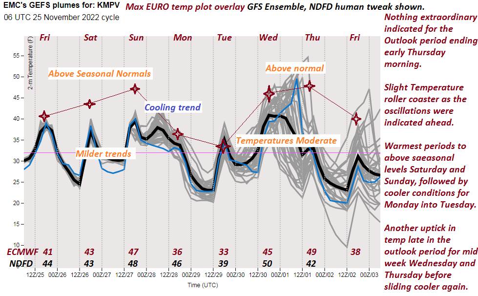
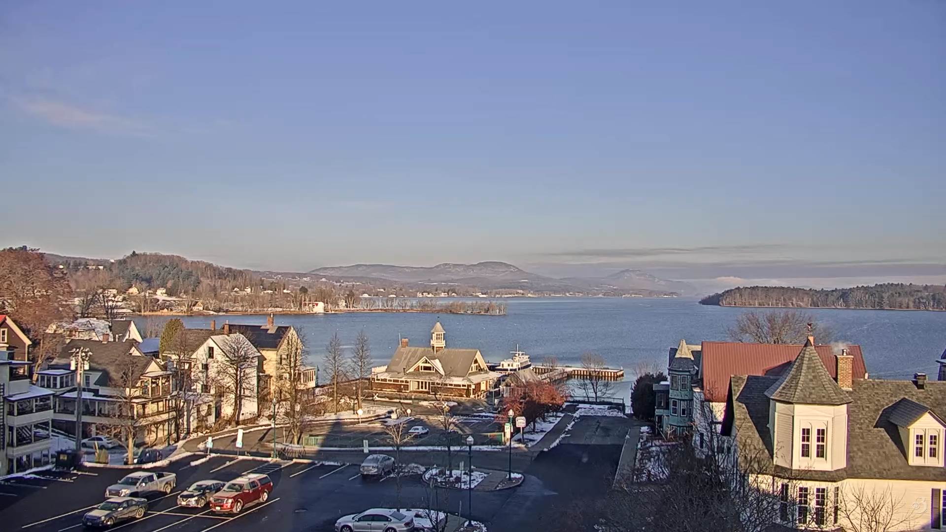
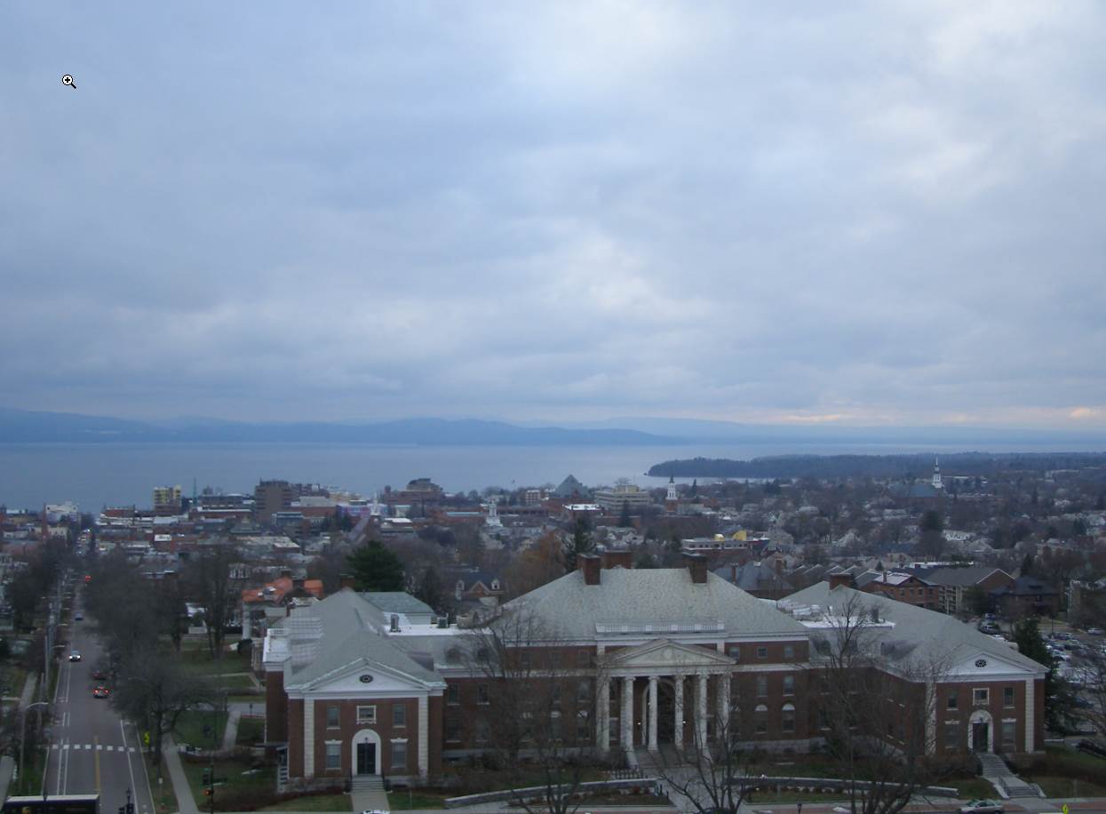
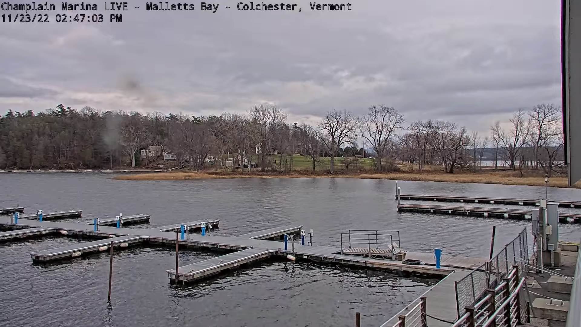
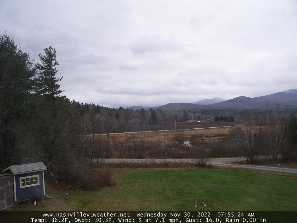
TODAY: Gray & windy at times. Rain developing mid-day or early afternoon, moderate at times. Milder with a high in the upper 40s. Gusty southeast breeze 10 to 25 with higher gusts developing this morning.

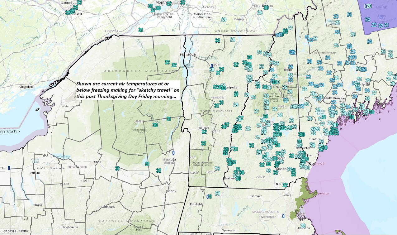
TONIGHT: Scattered lake effect snow showers & flurries. A light coating in spots with slick travel high terrain. Otherwise partly to mostly cloudy. A low mid-20s. Winds becoming westerly 10 to 20 mph.

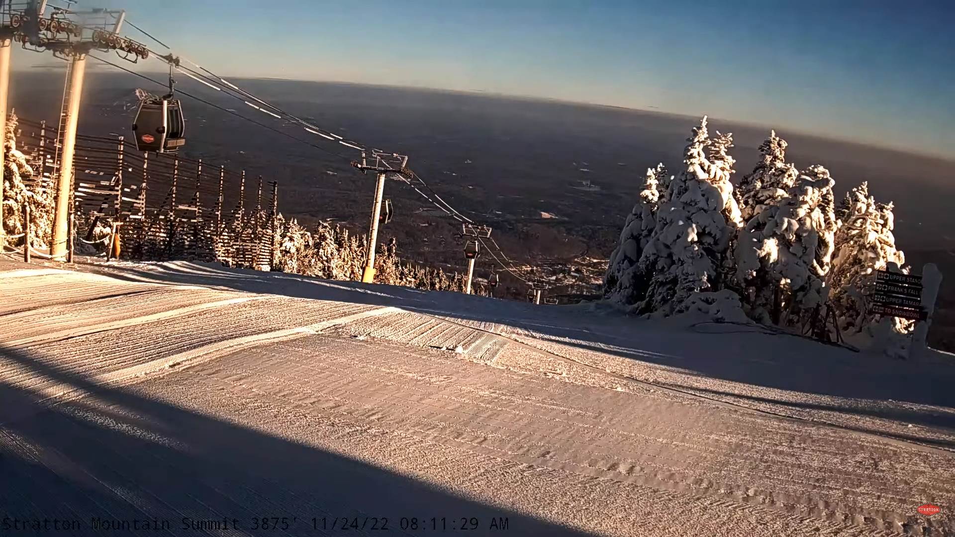
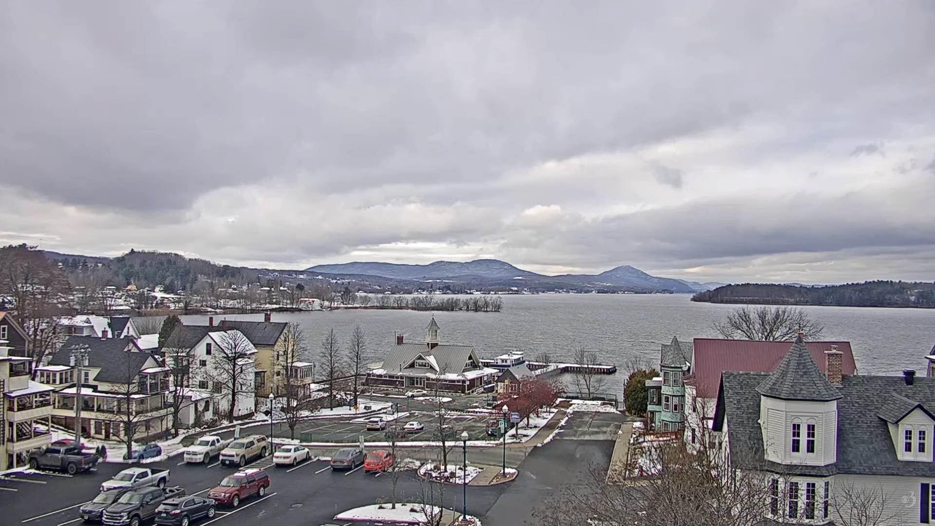
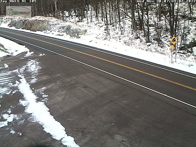
THURSDAY: Clouds with a few intervals of sun. Scattered light accumulating snow showers and flurries. Dusting to an inch accumulation with slick travel. Blustery & colder. A high around 35. West to northwest winds 10 to 20 mph.

Looking Further Ahead…

THURSDAY NIGHT: Scattered clouds or mostly clear. A low in the mid-20s.

FRIDAY: High cloudiness, filtering the sun. A high near 40.

SATURDAY: Partial sunshine early, then gray. A rising chance for light rain or showers in the afternoon. A low near 32. A high in the upper 40s near 50.

SUNDAY: Blustery with morning flurries, giving way to increased sunshine. A low 25 to 30. A high in the upper 30s.

Average lows upper teens to mid-20s. Average highs mid-30s to lower 40s

RH/11-30forecast][end]

Updated Tuesday Evening Forecast — November 29th, 2022

TONIGHT: High cloudiness, thickening up overnight. Becoming breezy toward Lake Champlain. A low around 30. Southeast breeze 10 mph stronger toward the lake.

Wind Advisory Northwestern Counties…7 AM Wednesday thru 7 PM…

TOMORROW: Gray. Rain developing around mid-day, moderate at times. Breezy to windy and milder. A high upper 40s to near 50. Gusty southeast breeze 10 to 20 mph in the afternoon.

WEDNESDAY NIGHT: Scattered lake effect snow showers & flurries. A light coating in spots with slick travel high terrain. Otherwise partly to mostly cloudy. A low mid-20s. Winds becoming westerly 10 to 15 mph.

THURSDAY: Clouds mixed with intervals of sun scattered accumulating mountain snow showers and valley flurries. Dusting to couple inches most northern higher terrain. Blustery. A high upper 30s to around 40. West to northwest winds 10 to 20 mph.

Looking Further Ahead…

THURSDAY NIGHT: Scattered clouds or mostly clear. A low in the mid-20s

FRIDAY: Morning sunshine gives way to high cloudiness. A high around 40.

SATURDAY: Partial sunshine early, then gray. A rising chance for light showers in the afternoon. A low in the lower 30s. A high in the upper 40s.

SUNDAY: Blustery with morning flurries, giving way to increased sunshine. A low 25 to 30. A high near 40.

Average lows upper teens to mid-20s. Average highs mid-30s to lower 40s

RH/11-29forecast][end]

Updated Tuesday Morning Forecast — November 29th, 2022

TODAY: Mostly cloudy early, otherwise filtered sunshine. A high 35 to 40. Light southeast winds.

TONIGHT: Fair with high cloudiness, thickening up late. Becoming breezy to windy toward Lake Champlain. A low in the upper 20 to around 30. Southeast breeze 10 mph stronger toward the lake.

Wind Advisory Northwestern Counties…7 AM Wednesday thru 7 PM…

WEDNESDAY: Gray. Rain developing around mid-day, moderate at times. Breezy to windy and milder. A high upper 40s to near 50. Gusty southeast breeze 10 to 25 mph in the afternoon.

Looking Further Ahead…

WEDNESDAY NIGHT: Variably cloudy. Good chance for lake effect snow showers or flurries. A light coating in spots. A low mid-20s.

THURSDAY: Clouds and scattered accumulating mountain snow showers and valley flurries. Dusting to couple inches most northern higher terrain. Blustery. A high upper 30s to around 40.

FRIDAY: Morning sunshine gives way to high cloudiness. A low in the mid-20s. A high around 40.

SATURDAY: Partial sunshine early, then gray. A rising chance for light showers in the afternoon. A low in the lower 30s. A high in the upper 40s.

SUNDAY: Blustery with morning flurries, giving way to increased sunshine. A low 25 to 30. A high near 40.

Average lows upper teens to mid-20s. Average highs mid-30s to lower 40s

RH/11-29forecast][end]

Updated Monday Evening Forecast — November 28th, 2022

TONIGHT: Evening clouds with possible mountain flurry, gives way to partial clearing after midnight. A low 20 to 25. Light northwest winds.

TOMORROW: Sunshine filtered by high cloudiness. A high in the upper 30s. Light southeast winds.

TUESDAY NIGHT: Fair with high cloudiness, thickening up late. Becoming breezy to windy toward Lake Champlain. A low in the upper 20 to around 30. Southeast breeze 10 mph stronger toward the lake.

WEDNESDAY: Gray. Rain likely developing around mid-day, moderate at times. Breezy to windy and milder. A late day high around 50. Gusty southeast breeze 10 to 25 mph in the afternoon.

Looking Further Ahead…

WEDNESDAY NIGHT: Variably cloudy. Chance for lake effect snow showers or flurries. A light coating in spots. A low mid-20s.

THURSDAY: More clouds than sun. Scattered mountain snow showers and valley flurries with minor accumulation. Blustery. A high in the upper 30s.

FRIDAY: Sunshine gives way to high cloudiness. A low in the mid-20s. A high 35 to 40.

SATURDAY: Partial sunshine giving way to lots of clouds. A late afternoon chance for passing light showers. A low 25 to 30. A high near 45.

Average lows upper teens to mid-20s. Average highs mid-30s to lower 40s

RH/11-28forecast][end]

Updated Monday Morning Forecast — November 28th, 2022

TODAY: Lots of clouds with a break of sun now and then. An occasional mountain flurry this morning with minor accumulation western slopes of the Greens. A high upper 30s to near 40. Winds northwesterly 10 to 20 mph.

TONIGHT: Becoming partly cloudy. A low 20 to 25. Light northwest winds.

TUESDAY: Sunshine filtered by high cloudiness. A high in the upper 30s. Light variable winds.

Looking Further Ahead…

TUESDAY NIGHT: Fair with high cloudiness, thickening up late. Becoming breezy to windy toward Lake Champlain. A low in the upper 20 to around 30.

WEDNESDAY: Gray. Good chance for rain arriving around mid-day. Breezy to windy and milder. A late day high pushing 50. Gusty southerly winds.

THURSDAY: More clouds than sun. Scattered mountain snow showers and valley flurries with minor accumulation. Blustery. A low around 30. A high mid to upper 30s.

FRIDAY: Partial morning sunshine giving way to more clouds. A low 20 to 25. A high around 35.

SATURDAY: Mixed sun and clouds. A low upper 20s. A high around 40.

Average lows upper teens to mid-20s. Average highs mid-30s to lower 40s

RH/11-28forecast][end]

Updated Friday Evening Forecast — November 25th, 2022

TONIGHT: Mostly cloudy and blustery to windy this evening. Mountain snow showers and valley flurries. A dusting to less than an inch in the mountains. A low in the upper 20s. Northwest winds 10 to 20 mph.

TOMORROW: Maybe an isolated mountain flurry early, otherwise mostly sunny and a beauty in the afternoon. A high in the lower 40s. Light west to southwest winds.

SATURDAY NIGHT: Mostly clear in the evening with increasing high clouds overnight. A morning low upper 20s to around 30. Light southwest winds.

SUNDAY: Gray & raw. Periods of rain or showers likely later in the afternoon, with a slight risk of icy spots eastern and northern areas with minor wet snow northern mountain summits. Areas of fog. A late day high about 45. Winds light and southwesterly.

Looking Further Ahead…

SUNDAY NIGHT: Good chance for lingering showers moderate at times with possible icy spots upper Connecticut River valley. A low 32 to 35

MONDAY: Gray & blustery at times. Chance for rain…mixed with accumulating wet snow of a couple/few inches possible above 2000 ft. A high 35 to 40.

TUESDAY: Mostly sunny. A low 20 to 25. A high mid to upper 30s.

WEDNESDAY: Thickening clouds leading to a chance for rain. Breezy to windy and milder. A low around 30. A late day high near 50.

Average lows low to mid 20s. Average highs upper 30s to mid-40s

RH/11-25forecast][end]

Updated Friday Morning Forecast — November 25th, 2022

TODAY: Cloudy. Occasional light rain showers arriving this morning…with a caution on areas roads with spotty freezing rain due to cold ground surfaces east of the Greens this morning thru 9 AM. Rain showers mix with wet snow at times Northeast Kingdom. A high 40 to 45. Southwest winds 10 mph stronger near the lake shifting to northwesterly late 10 to 20 mph.

TONIGHT: Mostly cloudy and blustery to windy this evening. Mountain snow showers and valley flurries. A dusting to less than an inch in the mountains. A low in the upper 20s. Northwest winds 10 to 20 mph.

SATURDAY: Maybe an isolated mountain flurry early, otherwise mostly sunny and a beauty in the afternoon. A high in the lower 40s. Light west to southwest winds.

Looking Further Ahead…

SATURDAY NIGHT: Mostly clear in the evening with increasing high clouds overnight. A morning low upper 20s to around 30.

SUNDAY: Gray & raw. Periods of rain or showers likely later in the afternoon, with a slight risk of icy spots eastern and northern areas with minor wet snow northern mountain summits. Areas of fog. A late day high around 45.

MONDAY: Gray & blustery to windy. Chance for rain…mixed with accumulating wet snow of a couple/few inches possible above 1500 ft. A low near 35. A high in the low 40s.

TUESDAY: Mostly sunny. A low mid-20s. A high 35 to 40.

WEDNESDAY: Thickening clouds leading to a chance for rain. Breezy to windy and milder. A low around 30. A high pushing near 50.

Average lows low to mid 20s. Average highs upper 30s to mid-40s

RH/11-23forecast][end]

Updated Thanksgiving Day Morning Forecast — November 24th, 2022

TODAY: Periods of sunshine, becoming filtered thru high clouds this afternoon. Seasonable in temperature. A high in the low 40s. Light south winds.

TONIGHT: Fair this evening then thickening clouds. A low near 30. Light south breeze gusty near Lake Champlain.

FRIDAY: Cloudy. Rain showers becoming likely by mid-morning with spotty mixed precipitation possible at onset. Minor wet snow accumulations above 2000 ft. A high 40 to 45. Southwest winds 10 mph stronger near the lake shifting to northwesterly late 10 to 20 mph.

Looking Further Ahead…

FRIDAY NIGHT: Mostly cloudy and blustery to windy in the evening. Scattered accumulating snow showers and valley flurries. A dusting to about an inch higher terrain. A low in the mid-20s.

SATURDAY: A few leftover mountain flurries drying up in the morning. Increasing afternoon sunshine. A high upper 30s to around 40.

SUNDAY: Gray & raw. Breezy to windy at times rising chance for rain, with a spotty freezing rain and slick travel at onset possible. Areas of fog. A morning low around 30. A late day high around 45.

MONDAY: Mostly cloudy. Blustery to windy. Scattered rain and wet snow showers elevated terrain. A low around 35. A high in the low 40s.

TUESDAY: Mostly sunny. A low mid-20s. A high 35 to 40.

Average lows low to mid 20s. Average highs upper 30s to mid-40s

RH/11-23forecast][end]

Updated Wednesday Evening Forecast — November 23rd, 2022

TONIGHT: A stray flurry or two then partial clearing. A low in the lower 20s. Little wind.

TOMORROW: “Pick of the week” Periods of sun, becoming filtered thru high clouds in the afternoon. Seasonable in temperature. A high 40 to 45. Light south winds.

THURSDAY NIGHT: Fair in the evening then clouding up. A low near 30. Light south breeze strong near Lake Champlain.

FRIDAY: Cloudy. Rain showers becoming likely by mid-morning, with wet snow accumulations above 1500 to 2000 ft. Blustery at times. A high 40 to 45. Southwest winds 10 mph stronger near the lake.

Looking Further Ahead…

FRIDAY NIGHT: Mostly cloudy and blustery to windy in the evening. Scattered accumulating snow showers and valley flurries. A low mid to upper 20s.

SATURDAY: A few leftover mountain flurries drying up in the morning. Increasing afternoon sunshine. A high 35 to 40.

SUNDAY: Gray & raw. Breezy to windy at times rising chance for rain, with a spotty freezing rain and pockets of slick travel at onset. Areas of fog. A morning low in the upper 20s. A late day high near 45.

MONDAY: Mostly cloudy. Blustery to windy. Scattered rain and wet snow showers elevated terrain. A low around 30. A high in the low 40s.

Average lows low to mid 20s. Average highs upper 30s to mid-40s

RH/11-23forecast][end]

Updated Wednesday Morning Forecast — November 23rd, 2022

TODAY: Considerable cloudiness. A few mountain flurries central and northern areas. A high upper 30s. Northwest winds 10 mph.

TONIGHT: A stray flurry or two then partial clearing. A low 20 to 25. Little wind.

THURSDAY THANKSGIVING DAY: “Pick of the week” Periods of sun, becoming filtered thru high clouds in the afternoon. Seasonable in temperature. A high around 40. Light southwest winds.

Looking Further Ahead…

THURSDAY NIGHT: Fair in the evening then clouding up. A low about 30.

FRIDAY: Cloudy. Rain showers becoming likely, with wet snow accumulations above 1500 ft. Becoming rather blustery. A high 40 to 45.

SATURDAY: A few leftover mountain snow showers and valley flurries drying up in the morning. Increasing afternoon sunshine. A low around 30. A high 40 to 45.

SUNDAY: Gray & raw. Breezy to windy at times rising chance for rain, with a spotty freezing rain and pockets of slick travel at onset. Areas of fog. A low around 30. A late day high near 45.

MONDAY: Mostly cloudy. Blustery to windy. Scattered rain and wet snow showers elevated terrain. A low around 30. A high in the low 40s.

Average lows low to mid 20s. Average highs upper 30s to mid-40s

RH/11-23forecast][end]