Full “Cold Moon” 11:08 AM
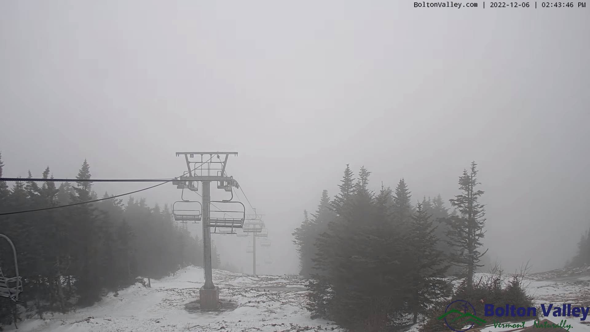
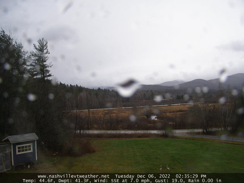
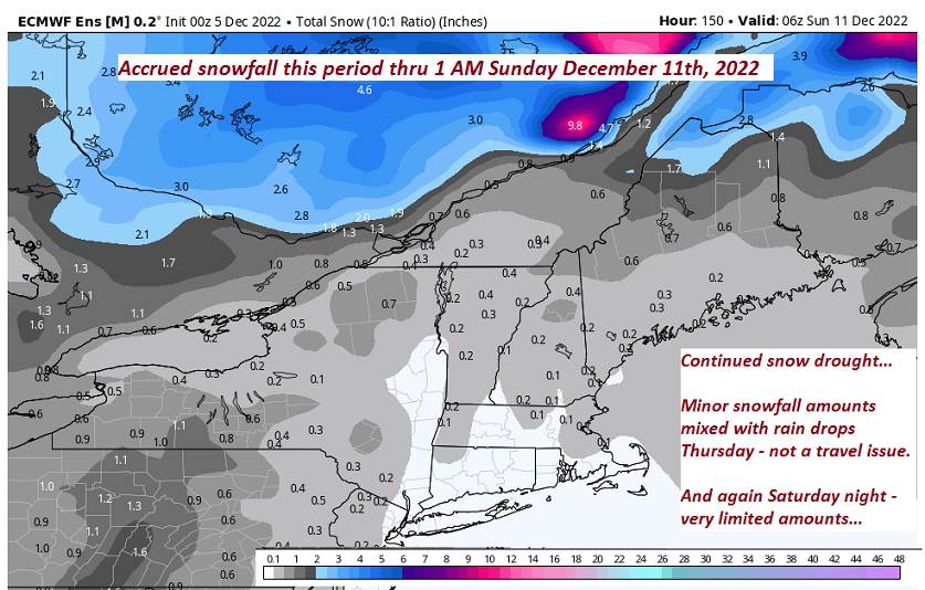
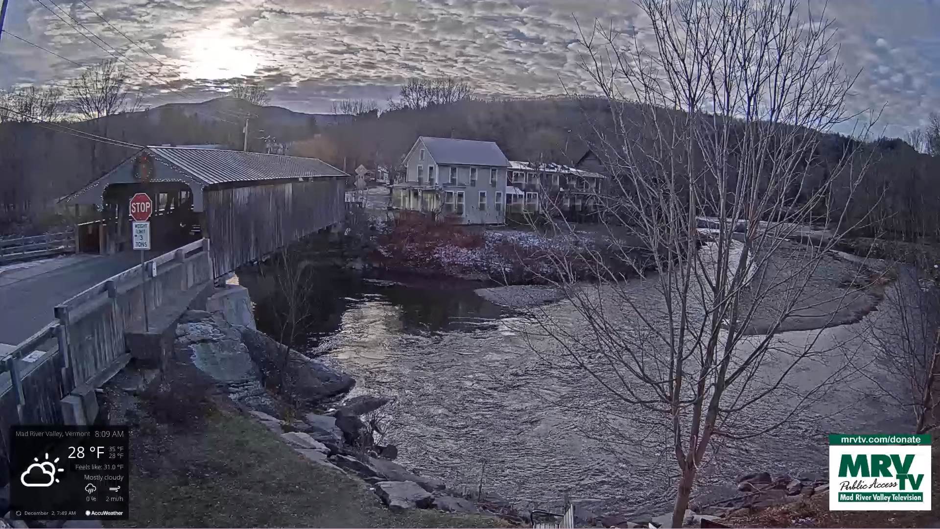
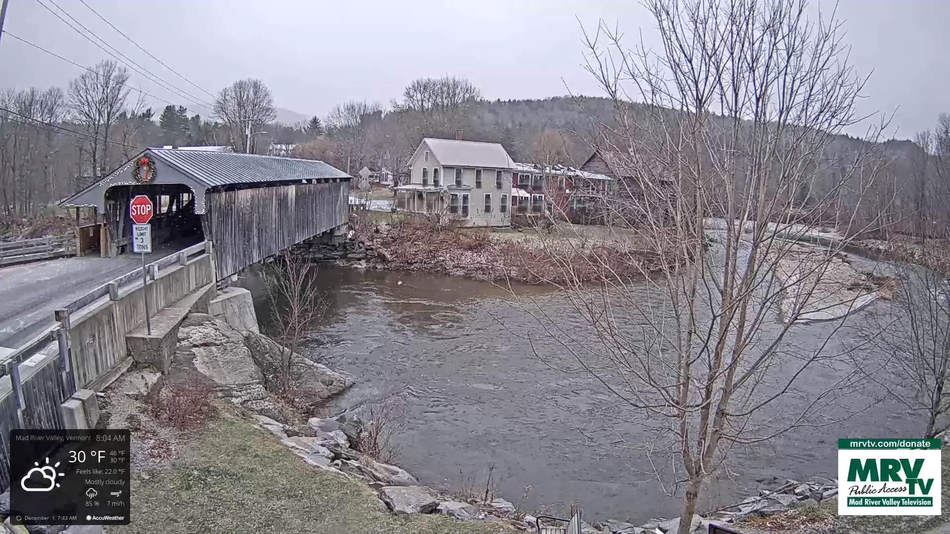
TODAY: Continued gray skies with periods of light rain or showers. Areas of fog. A high in the upper 40s to around 50. Southeast breeze 10 mph this morning becoming light and southerly.
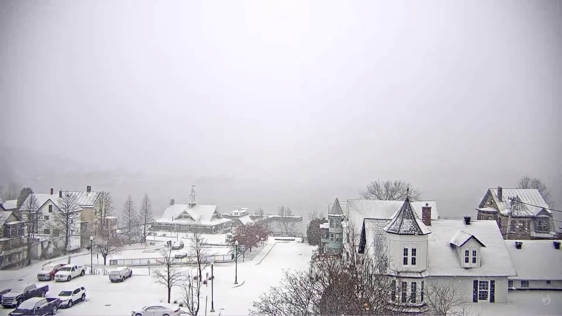
TONIGHT: Mainly cloudy with areas of fog. A few leftover sprinkles mixed with wet snowflakes exiting.A low about 35. Winds northwest 10 mph.
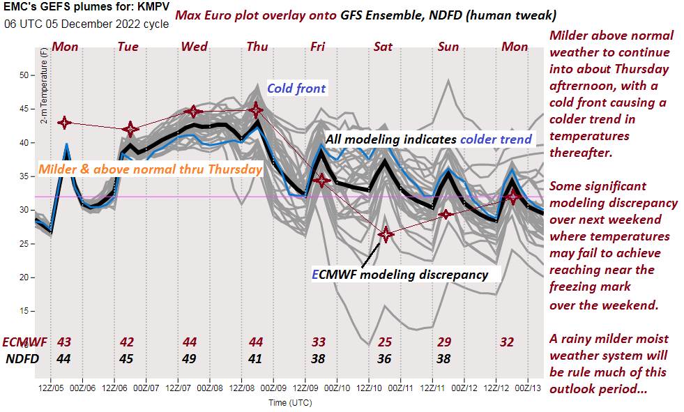
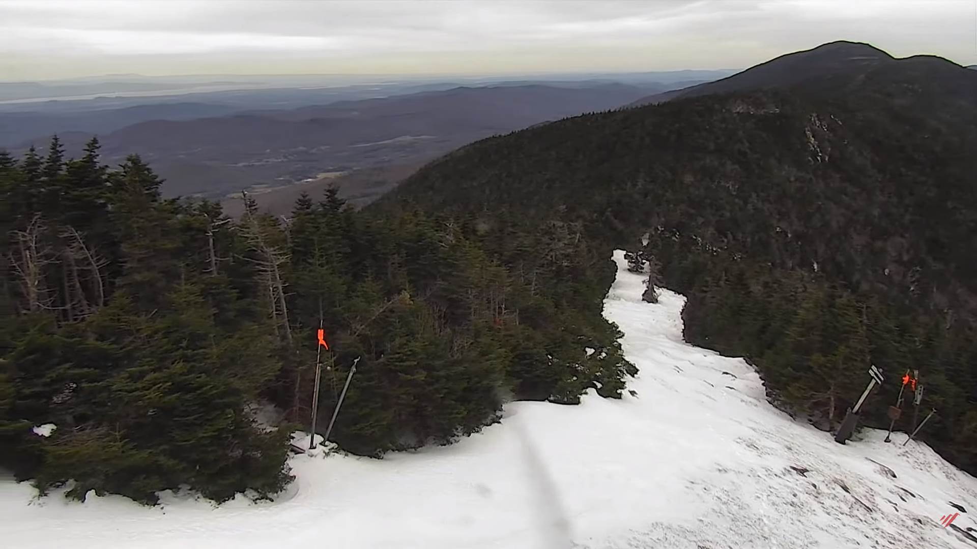
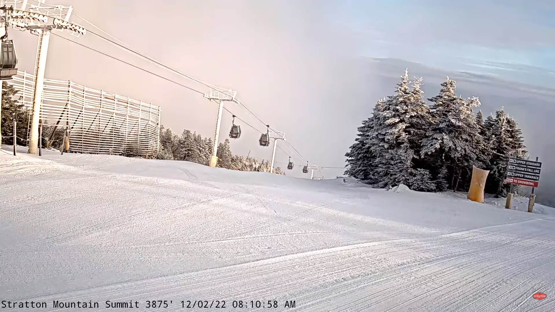
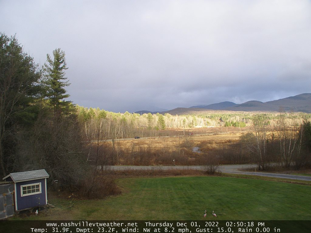
THURSDAY: Early morning clouds with a brief mountain flurry valley sprinkle, gives way lots of sunshine but cooler. A high mid-30s to near 40. Northwest winds pick up 10 to 15 mph.
Looking Further Ahead…
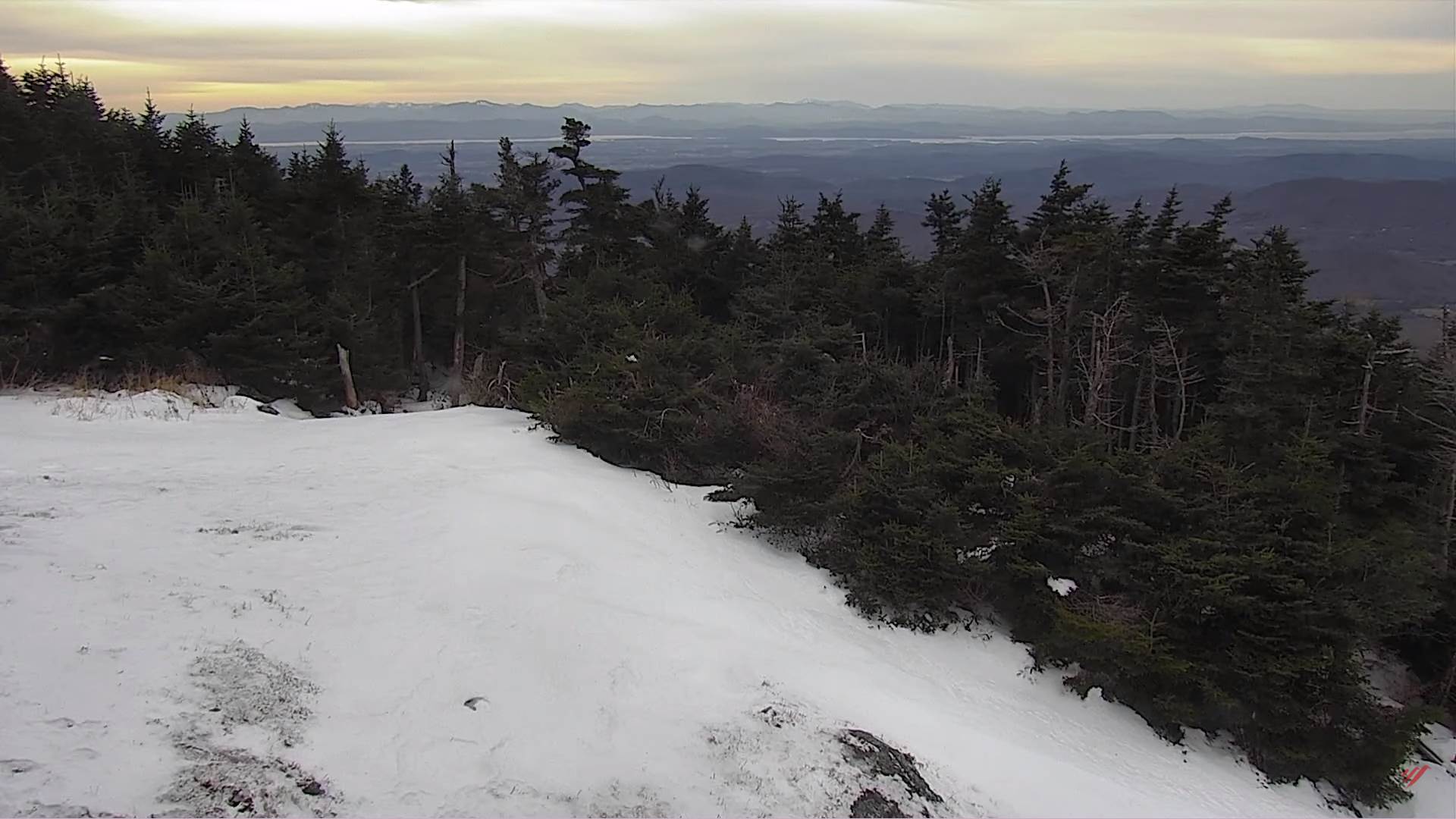
THURSDAY NIGHT: Clear and partially moonlit. A low upper teens to low 20s.
FRIDAY: Sunny and gorgeous, with near seasonal temperatures. A high around 35.
SATURDAY: Clouds maybe an intervals of sun. A low 20 to 25. A high upper 30s.
SUNDAY: Considerable cloudiness. A low around 25. A high upper 30s to around 40.
MONDAY: Morning clouds give way to partial clearing. A low around 20. Near seasonal temperatures return. A high in the low to mid 30s.
Average lows mid-teens to low-20s. Average highs low to mid 30s
Start of Climatological Winter December 12th…peaks (coldest January 22nd,) ends March 9th…
RH/12-7forecast][end]