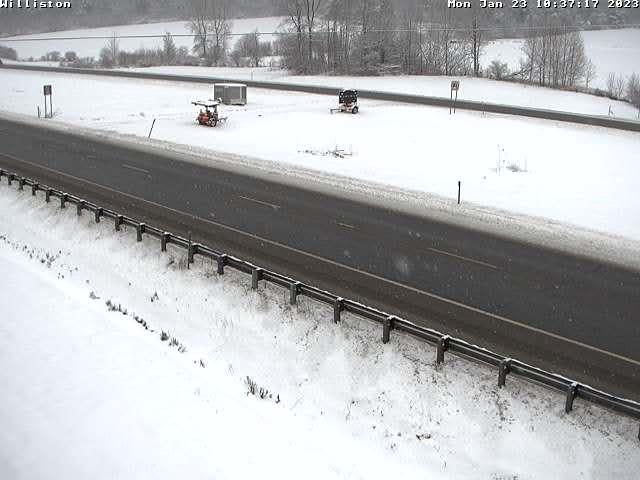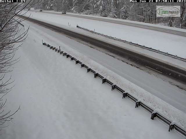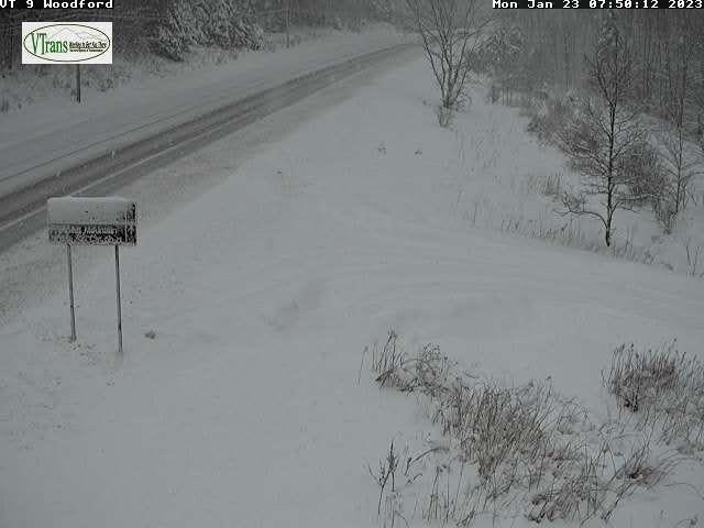
TONIGHT: A few stray mountain flurries, otherwise mostly cloudy. A low in the mid-20s. Light west to northwest winds.
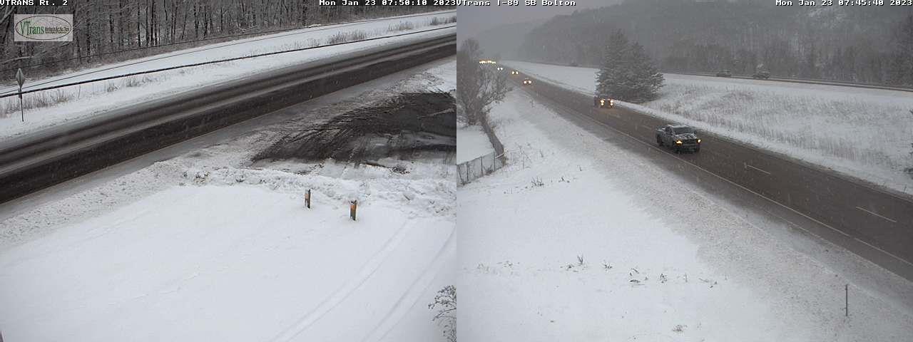
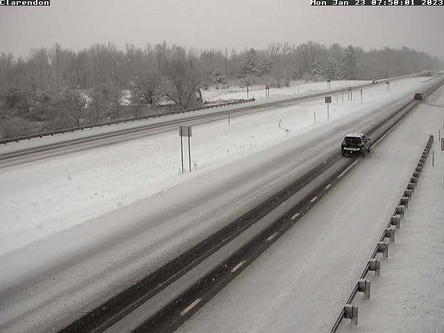
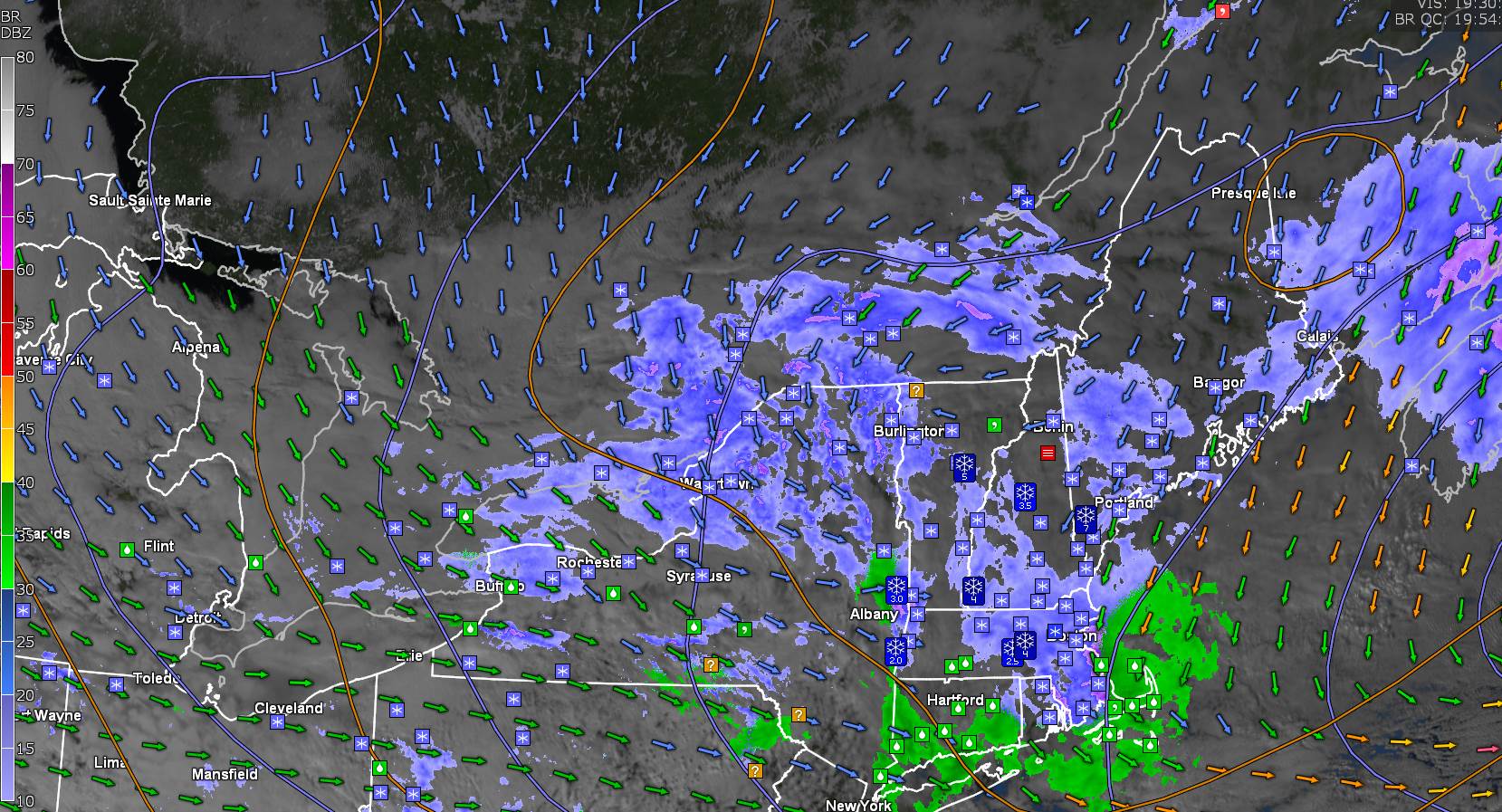
TOMORROW: Lots of clouds with a break or two of sun possible & blustery. Scattered snow showers with a risk of a squall. Dusting to an inch with some blowing and drifting. A high 32 to 35 degrees. Blustery west to southwest winds 10 to 20 mph & gusty.
TUESDAY NIGHT: Clouds with a stray mountain flurrythen partial clearing. A low 5 to 15 above.Light northwest winds.
WEDNESDAY: Periods of morning sun then clouding up. Rising chance for late day accumulating snow southern Vermont. A high 25 to 30. Light southeast winds.
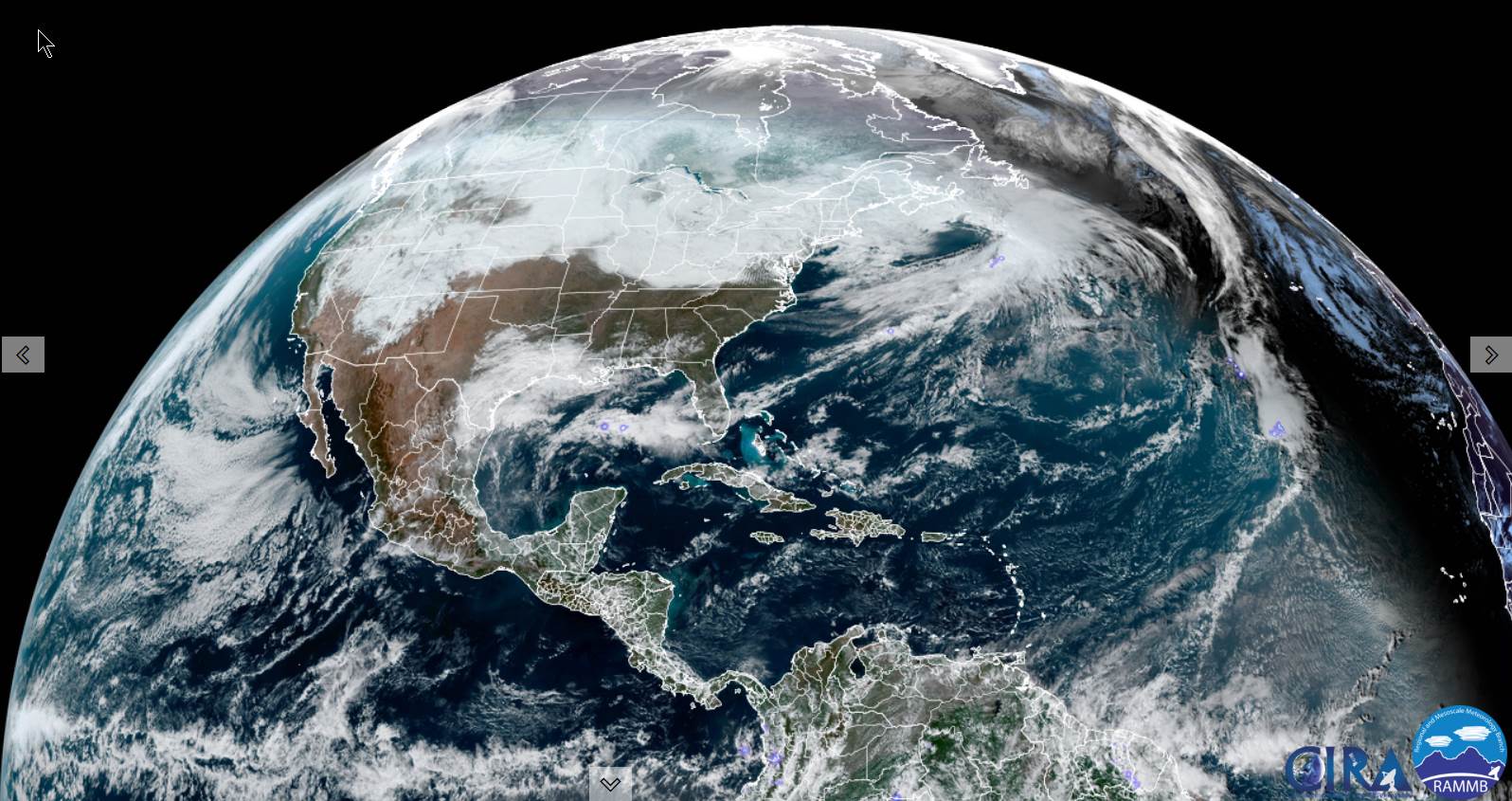
Looking further ahead
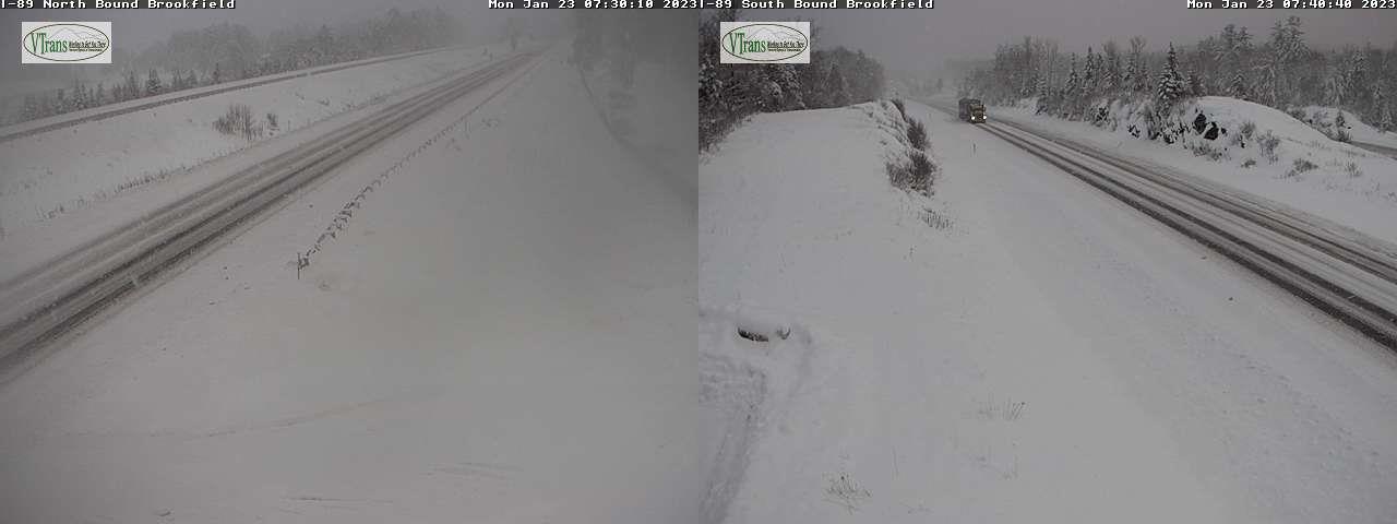
WEDNESDAY NIGHT: Overcast. Periods of light to occasionally moderate snowfall likely…transitioning to a wintry mix later overnight. An early low 20 to 25.
THURSDAY: Overcast. An early wintry mix exits to a few leftover snow showers minor additional accumulation northern western areas. Maybe a few breaks of sunshine late. A high 32 to 35.
FRIDAY: Any morning flurries exit to partly to mostly sunny skies. A low around 10. A high in the lower20s.
SATURDAY: Mostly cloudy. A low 5 to 15 above. A high 32 to 35.
Average lows single digits to near 10 above. Average highs mid to upper 20s.
Climatological winter ends March 9th…
RH/1-23forecast][end]