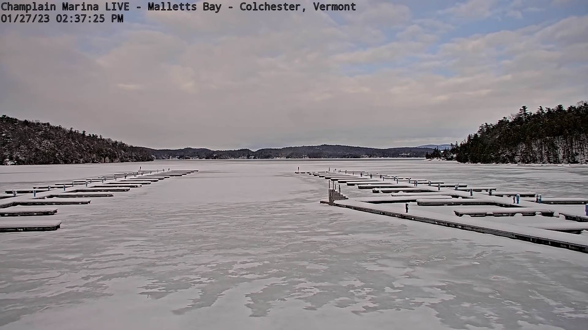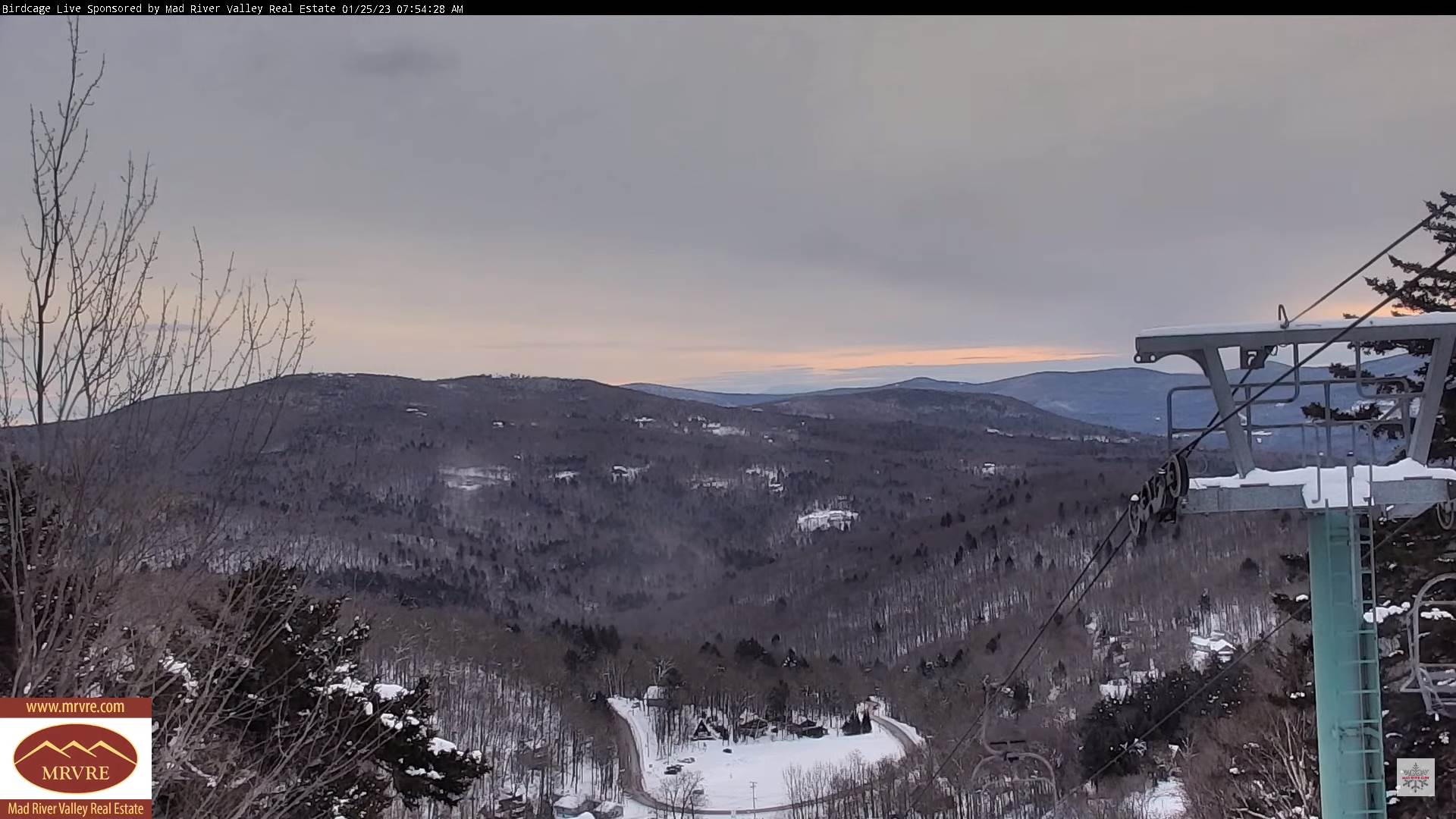
TONIGHT: Becoming mostly clear & fully moonlit. A low ranging thru the single digits to low teens. Light north winds.
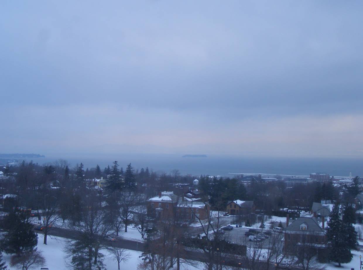
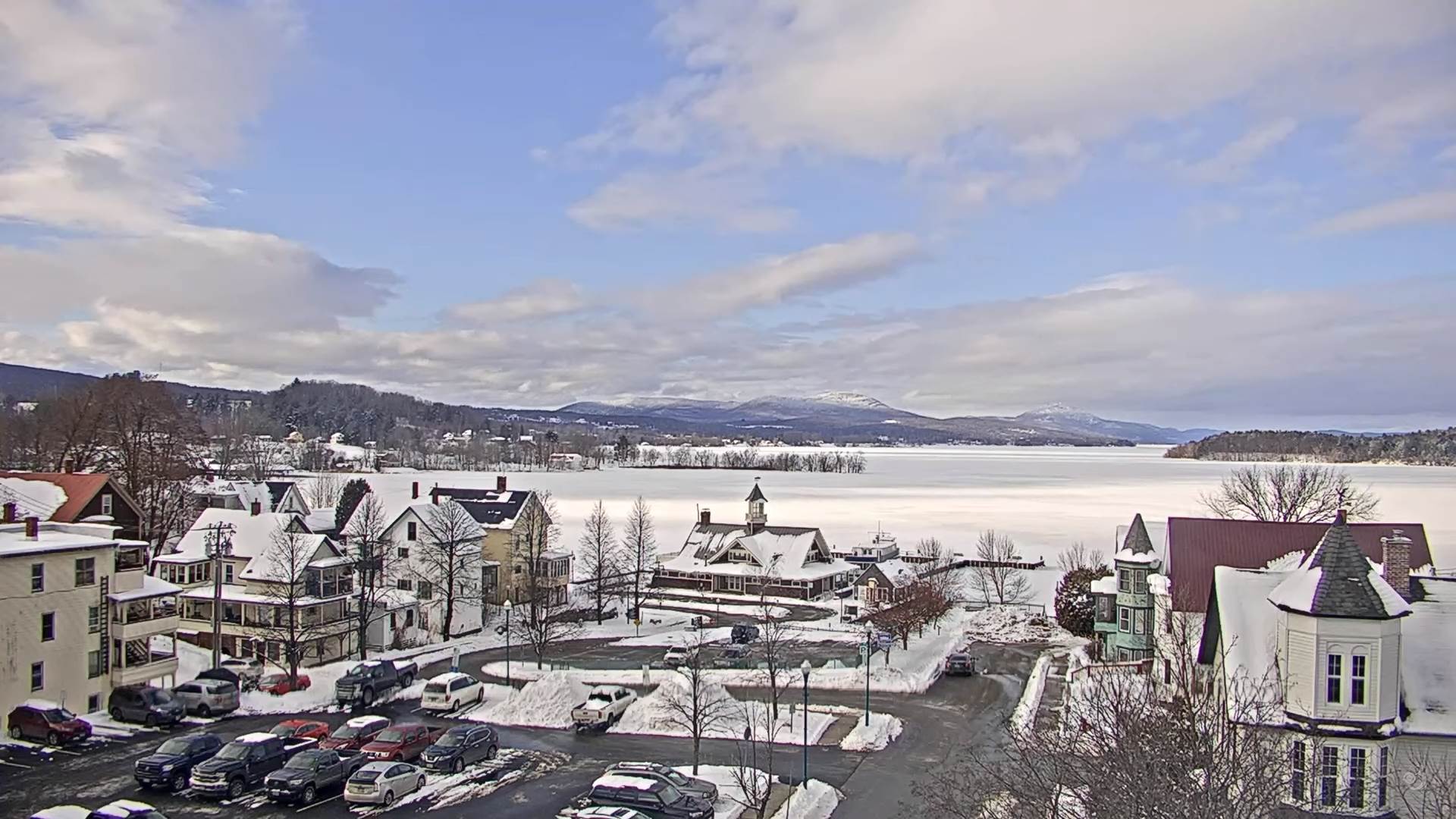
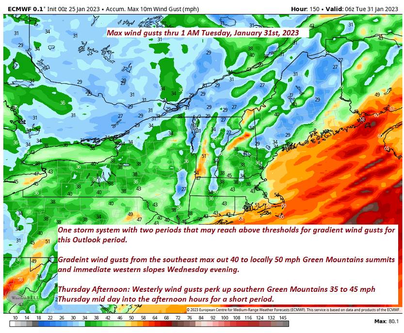
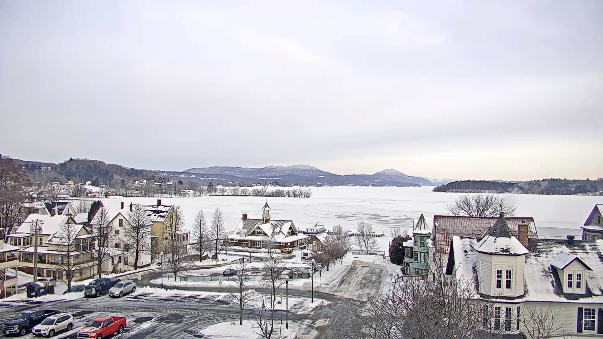
TOMORROW: Morning sunshine gives way to lots of afternoon clouds. A high in the low to mid 30s. Southeast winds 10 mph stronger near Lake Champlain.
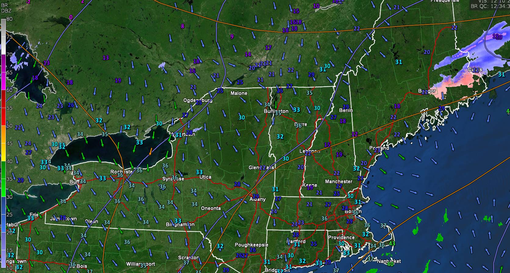
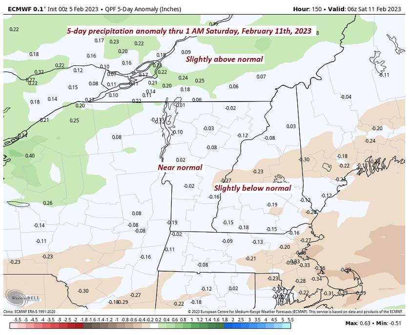
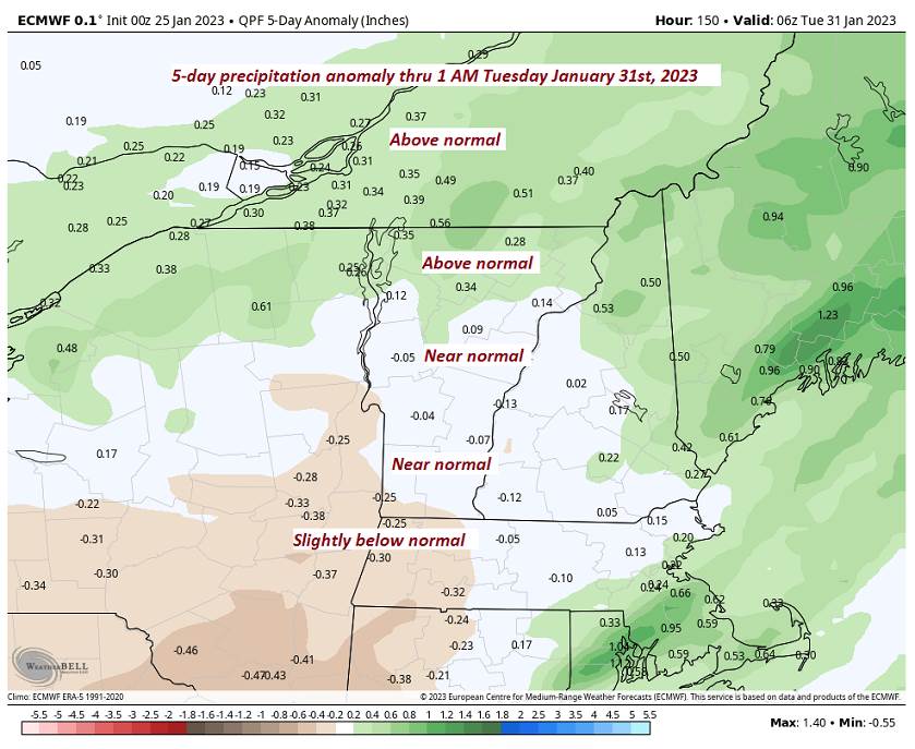
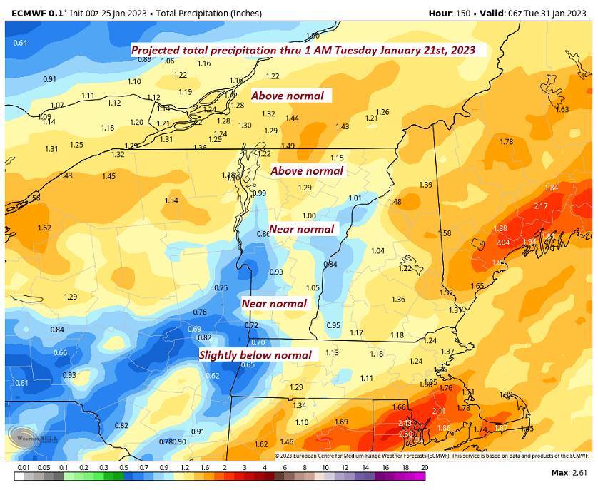
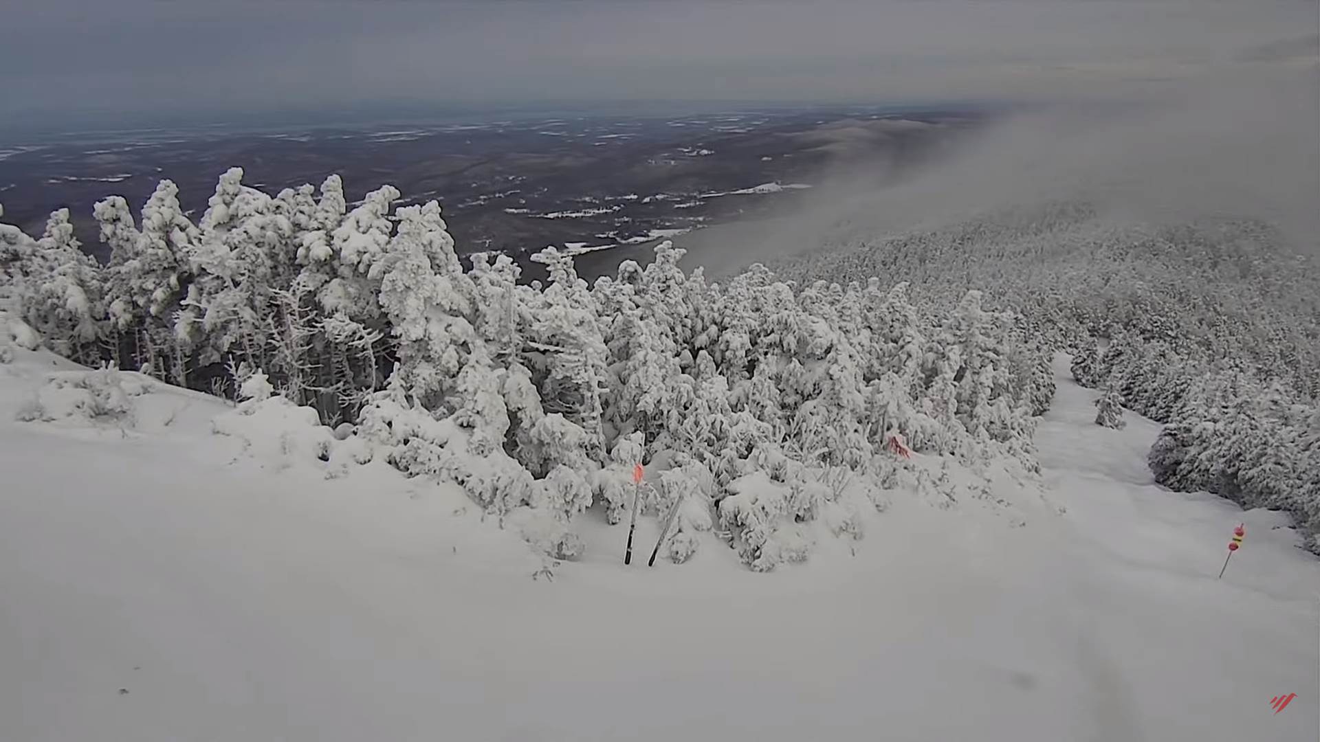
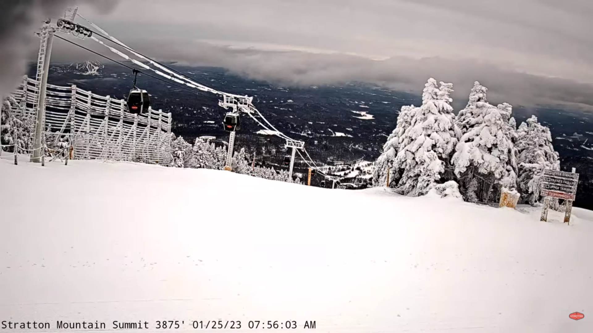
TUESDAY NIGHT: Cloudy. Light accumulating snow showers, dusting to less than an inch. A low 25 to 30. South to southwest winds 10mph.
WEDNESDAY: Widely scattered morning flurries, followed by gradual clearing in the afternoon. A high around 35. Wind becoming northwesterly 10 to 15 mph.
Looking further ahead
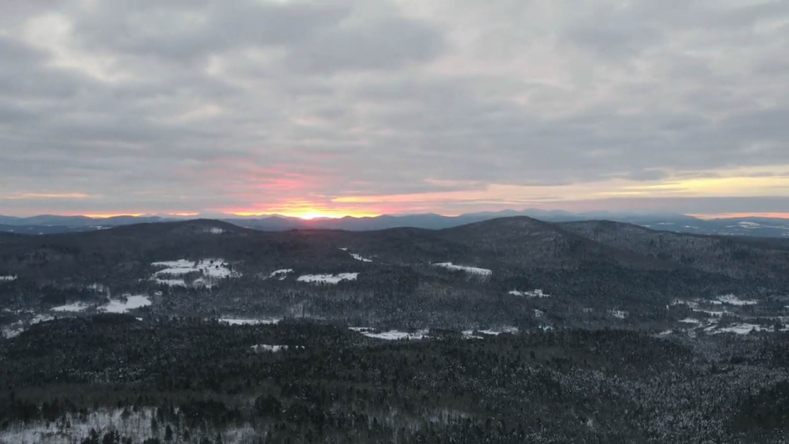
WEDNESDAY NIGHT: Mostly clear with a few high clouds. A low ranging from the mid-teens to mid-20s.
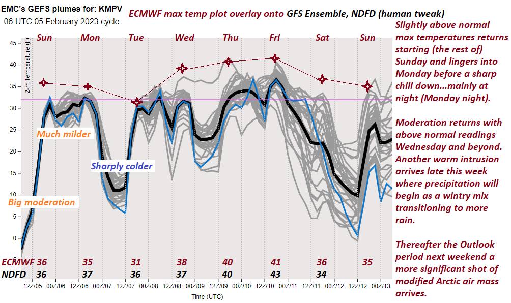
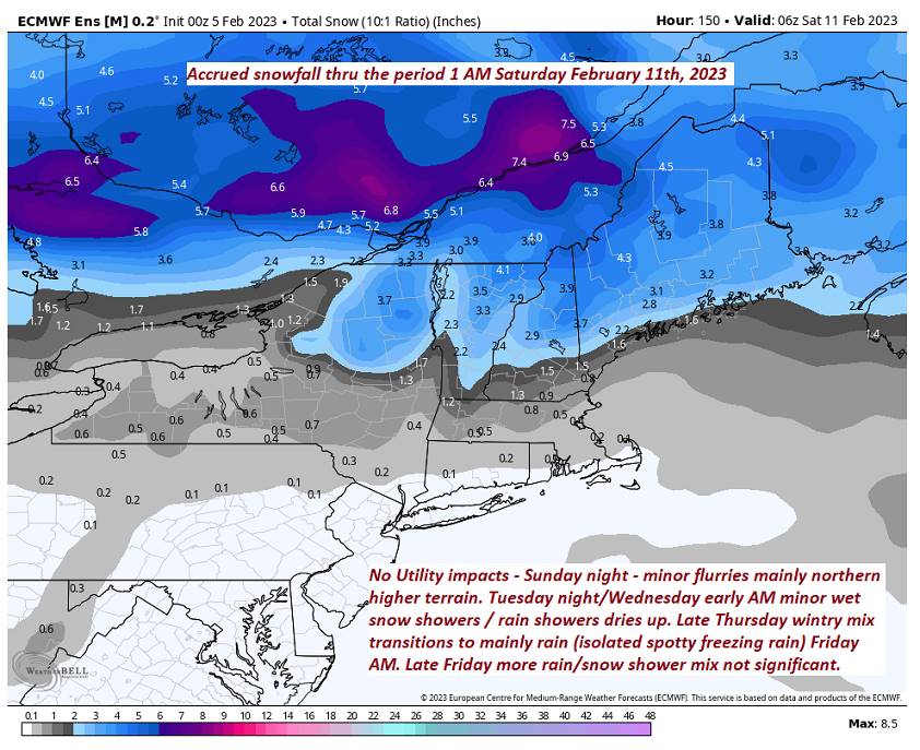
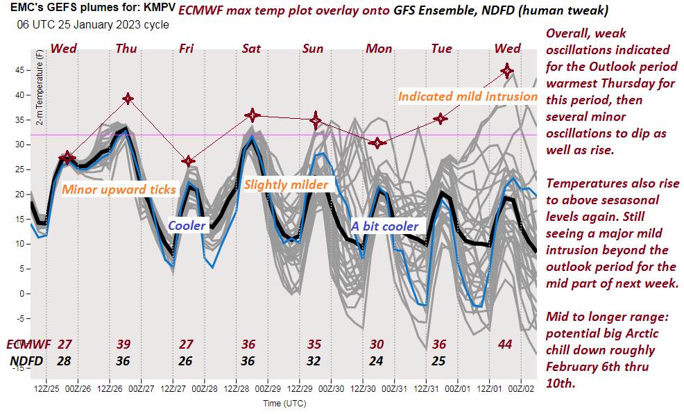
THURSDAY: Filtered sunshine thru high clouds, thickening up in the afternoon. Rising chance for accumulating snow or mixed precipitation toward dark with slick travel developing. A low in the teens. Warming trend. A high mid to upper 30s.
FRIDAY: Clouds with sunny intervals. Chance for lingering sprinkles or light rain showers early then exiting. A low 32 to 35. Much milder. A high low to mid 40s.
SATURDAY: Filtered sun through high clouds north and cloudy southern areas. A low in the 20s. A high in the upper 20s to low 30s.
SUNDAY: Partly to mostly sunny. Lows in the single digits. Highs in the upper 20s to low 30s.
Average lows upper digits to low teens. Average highs upper 20s to mid-30s.
Climatological winter ends March 9th…
RH/2-6forecast][end]