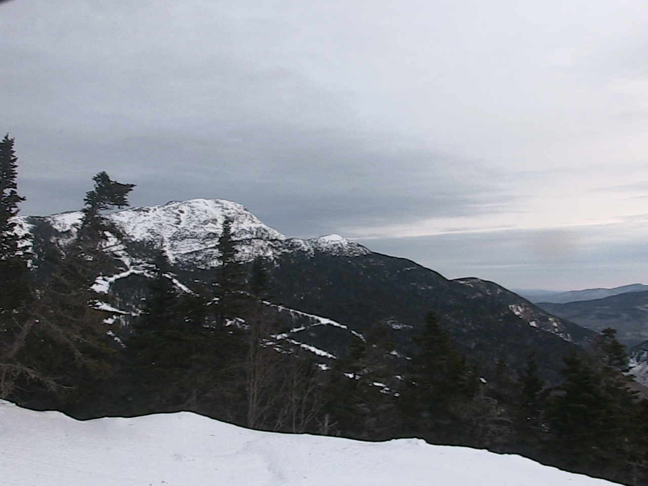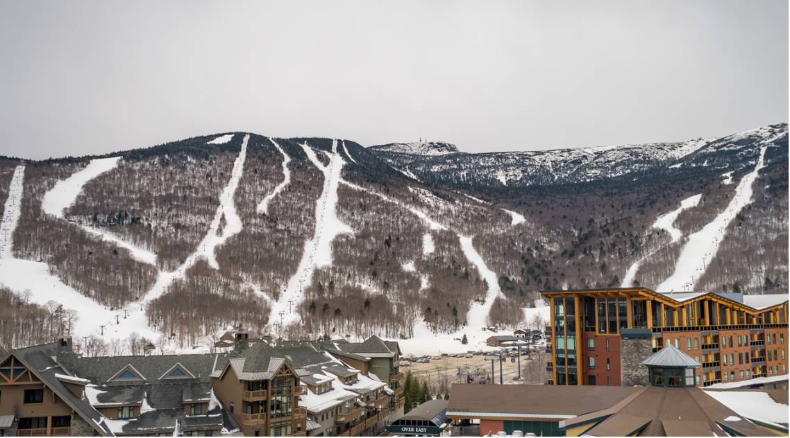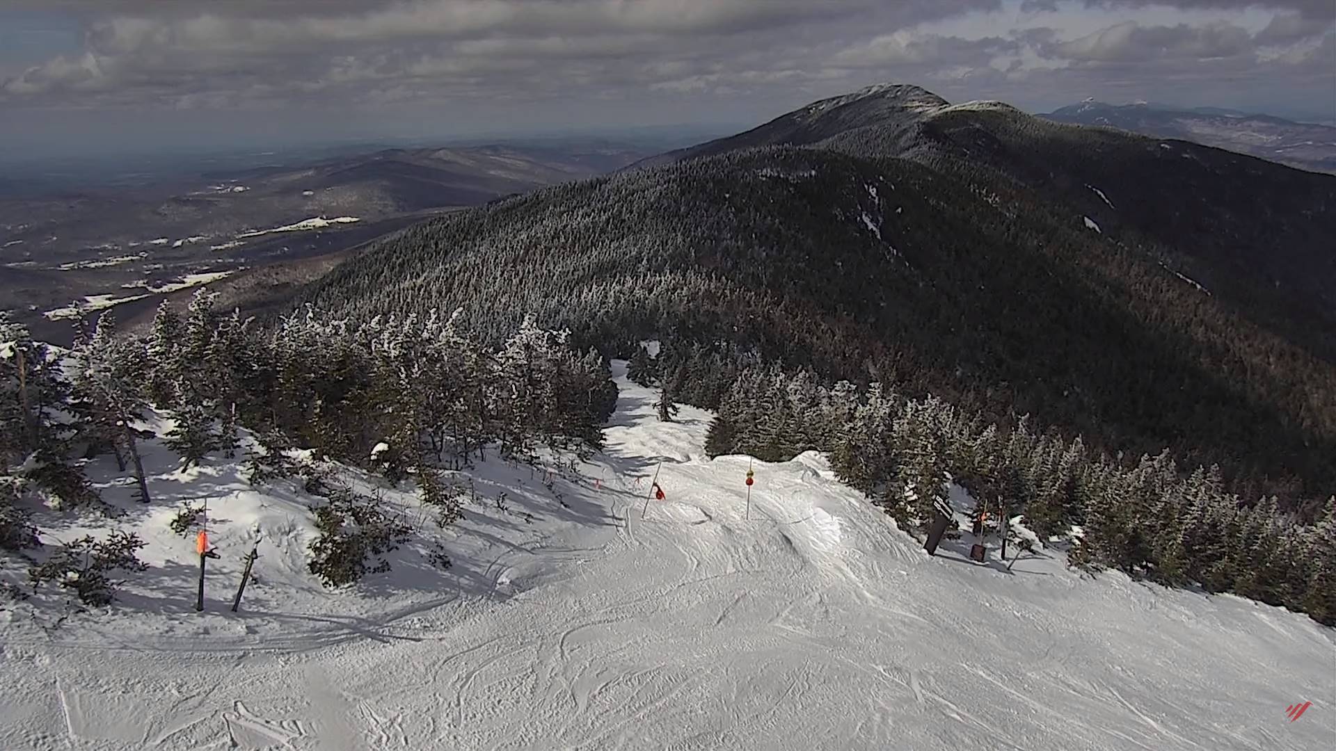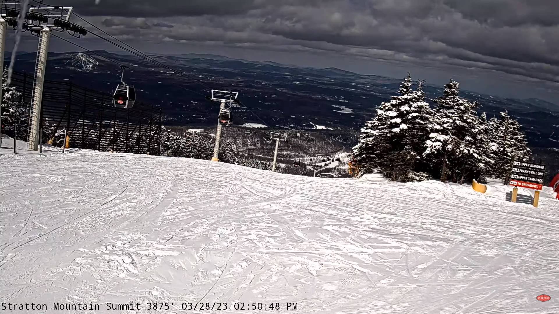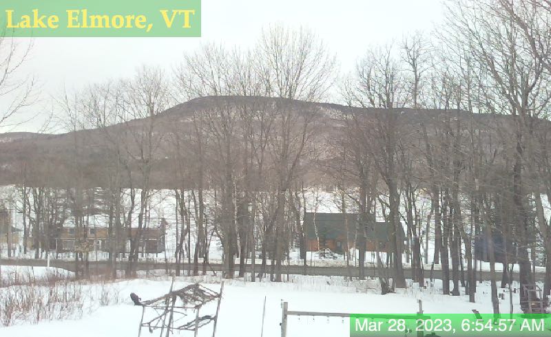
TONIGHT: Lots of clouds. Occasional rain showers mixed with a few wet snowflakes high terrain tracks southward becoming widely scattered northern areas overnight. A low near 32 north, mid to upper 30s southern and central Vermont. Light southwest winds
TOMORROW: Considerable cloudiness. Scattered light rain showers southern areas. A high in the upper 40s near 50. Light variable winds.
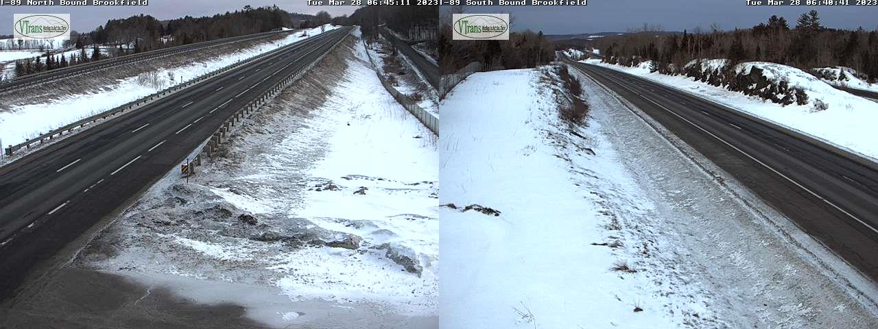
TUESDAY NIGHT: Mainly cloudy. Scattered mixed freezing rain and rain develops with slick travel possible. A low upper 20s northern areas to mid-30s. Light northeast winds.
WEDNESDAY: Gray, unsettled and colder. Freezing rain northern areas likely with slick travel and some glazing…changes to rain showers further south in the afternoon. A high in the mid-30s. Southeast winds
10 to 15 mph.
Looking further ahead
WEDNESDAY NIGHT: Cloudy. Chance for rain or spotty mixed slippery precipitation. An evening low near 32 rising overnight.
THURSDAY: Overcast. Chance for periods of rain. Milder in the afternoon. A high mid-50s to around 60.
FRIDAY: Some brief morning sun, then turning gray. Slight chance for mountain flurries. A low in the 30s. A high in the low 40s.
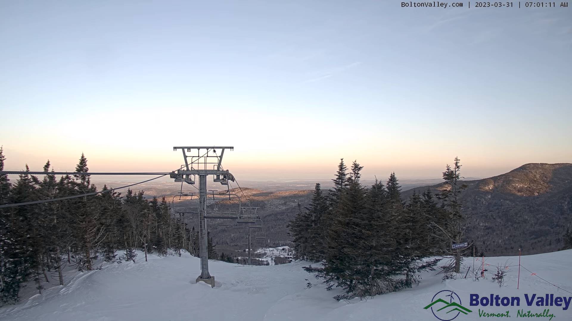
SATURDAY: Bright sunshine & blue skies. A low upper teens to mid-20s. A high in the mid-40s.
Average lows mid-20s to low 30s. Average highs mid-40s to low 50s
Start of Meteorological summer arrives June 6th.
RH/4-3 forecast][end]