My Updated Tuesday Night Forecast — October 21st, 2025

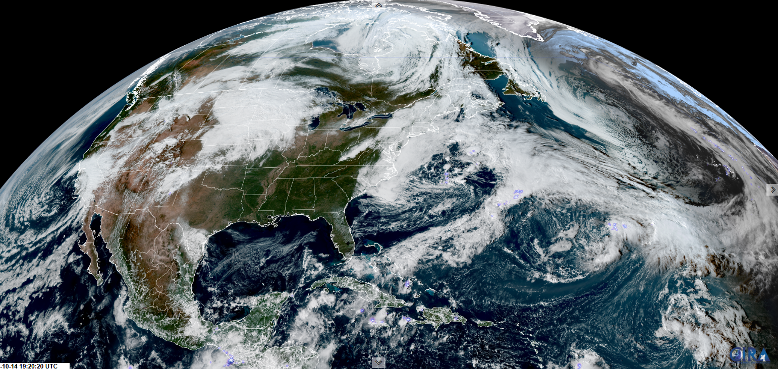
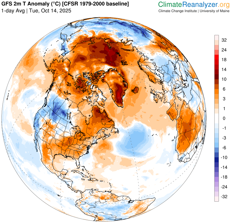
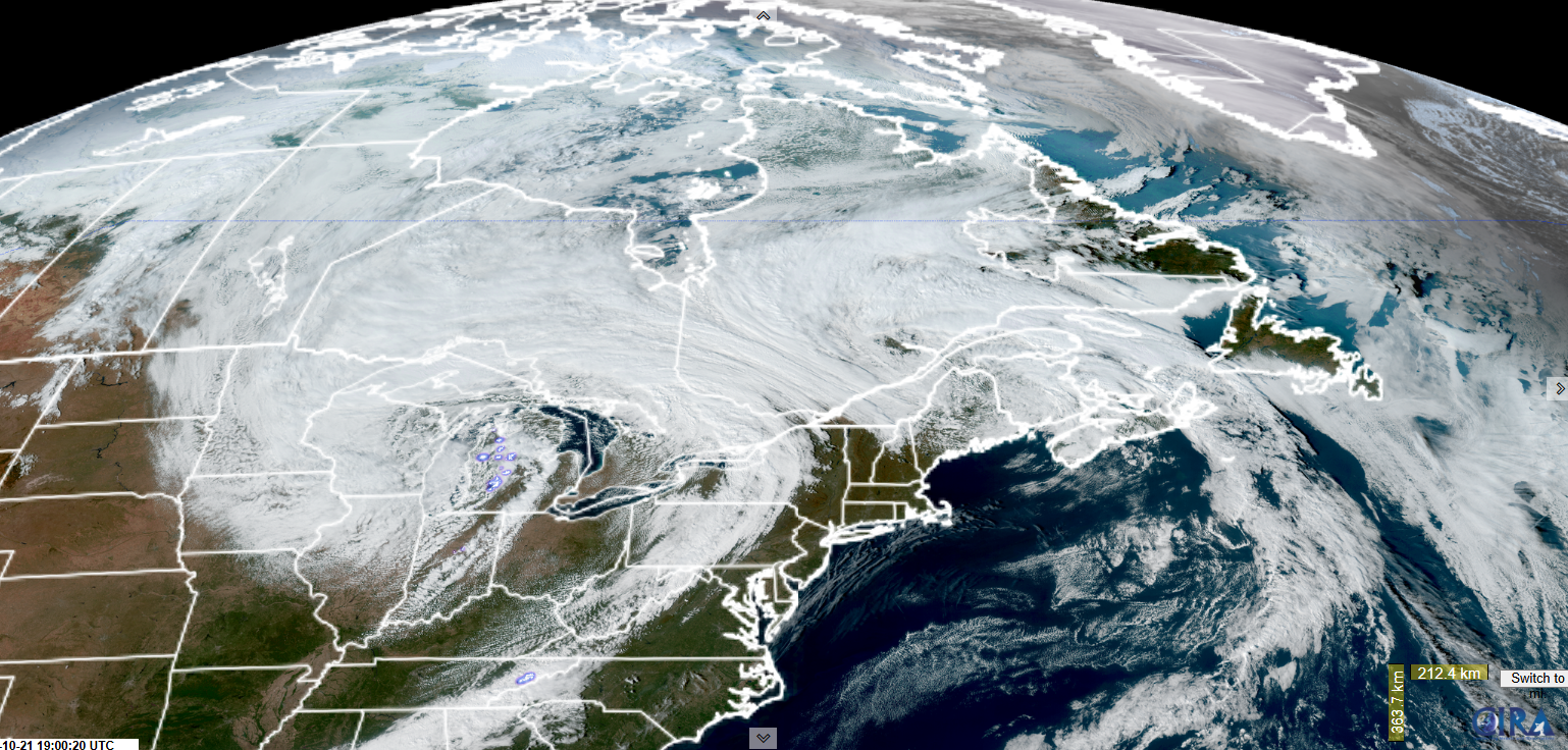
Roger Hill’s Radio Vermont Forecast 3:00 PM TUESDAY 10-21-25

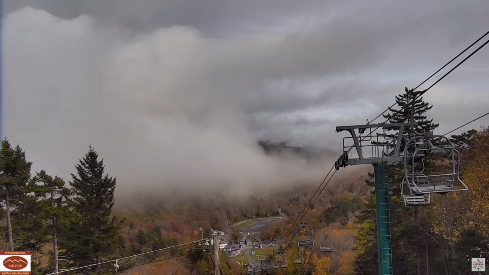
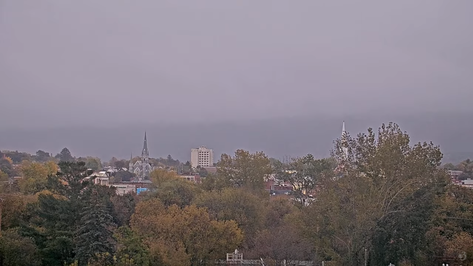
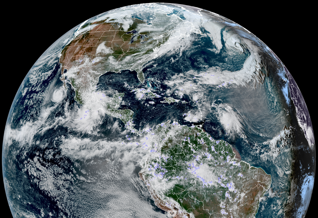
TONIGHT: Clouding up. Scattered passing evening showers followed by a break, then increasingly showery again overnight. Patchy valley fog. A low in the mid-40s. Light southeast winds.

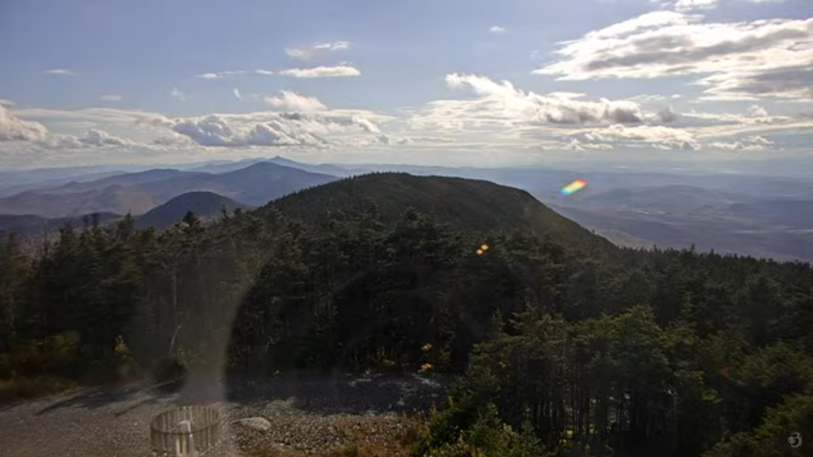
TOMORROW: Showers…some moderate at times exiting to partial sunshine late. Maybe a rumble of thunder. A high about 55. South winds 10 to 15 mph shifting to southwesterly.

WEDNESDAY NIGHT: Chance for a shower or two northern areas exiting early, otherwise becoming partly cloudy with valley fog. A low 35 to 40. Southwest winds 10 mph.

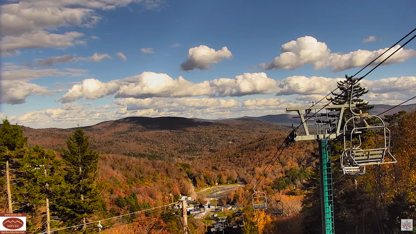
THURSDAY: Partly cloudy. A high lower 50s. Southwest winds 10 to 15 mph.

Looking further ahead

THURSDAY NIGHT: Partly to mostly cloudy. A low in the mid to upper 30s.

FRIDAY: Lots of clouds. Maybe another round of scattered showers…possibly with graupel or ice pellets. Some late day clearing. Highs in the upper 40s.

SATURDAY: Clouds with a few breaks of sun. A low of around 32. Rather raw. Highs in the mid-40s.

SUNDAY: Mostly cloudy. A low in the upper 20s. Highs around 45.

Average low: 30 to 35 Average high: low to mid 50s.

Admin: Thursday off.

Eastern Standard Time (fall back) 2 AM Sun. November 2nd.

Meteorological winter begins December 12th

RH/10-20/forecast][end] Fox Trot Delta Tango

My Updated Monday Night Forecast — October 20th, 2025

Roger Hill’s Radio Vermont Forecast 3:00 PM MONDAY 10-20-25

TONIGHT: Showers or periods of rain…moderate at times. Areas of fog. A low in the mid-40s. Light winds shifting to westerly 10 to 15 mph.

TOMORROW: Morning showers exits to periods of afternoon sunshine. A high 55 to 60. Light southwest winds.

TUESDAY NIGHT: Clouding up. Scattered passing showers. Patchy valley fog. A low in the mid-40s. Light south winds.

WEDNESDAY: Mostly cloudy. Good chance for showers…some moderate at times. A high about 55. Southwest winds 10 to 15 mph.

Looking further ahead

WEDNESDAY NIGHT: Chance for a shower or two exiting early, otherwise becoming partly cloudy with valley fog. A low upper 30s around 40.

THURSDAY: Clouds mixing with periods of sunshine. A high lower 50s.

FRIDAY: Lots of clouds. Maybe another round of scattered showers…possibly with graupel or ice pellets. A low in the mid to upper 30s. Highs mid to upper 40s.

SATURDAY: Clouds with a few breaks of sun. A low around 35. Rather raw. Highs in the mid-40s.

Average low: 30 to 35 Average high: low to mid 50s.

Admin: Thursday off.

Eastern Standard Time (fall back) 2 AM Sun. November 2nd.

Meteorological winter begins December 12th

RH/10-20/forecast][end] Fox Trot Delta Tango

My Updated Friday Night Forecast — October 17th, 2025

Roger Hill’s Radio Vermont Forecast 3:00 PM FRIDAY 10-17-25

TONIGHT: Mostly clear with some high clouds. A low upper 20s to low 30s. Little wind.

TOMORROW: Sunshine, becoming filtered through high clouds. Seasonable. A high around 60. Light south winds.

SATURDAY NIGHT: High and mid layer clouds. A low 40 to 45. Light northwest winds breezier near Lake Champlain.

SUNDAY: High overcast with dim sun at times. Breezier & milder with a high around 65. Southeast winds picks up 10 to 20 mph.

Looking further ahead

SUNDAY NIGHT: Thickening clouds. A low 50 to 55.

MONDAY: Mainly gray & wet. Good chance for showers or a period of rain…moderate at times with a potential for a good soaker! A high mid-50s.

TUESDAY: Clouds with a few breaks of sun. Lows 40 to 45. Highs upper 50s near 60.

WEDNESDAY: Cloudy. Chance for showers. Lows around 45. Highs in the 50s.

Average low: ranging thru the 30s Average highs: mid to upper 50s.

Potential wet snowflakes tail end of mid to late next week.

Eastern Standard Time (fall back) 2 AM Sun. November 2nd.

Meteorological winter begins December 12th

RH/10-15/forecast][end] Fox Trot Delta Tango

My updated Thursday Night Forecast – October 16th, 2025

Roger Hill’s Radio Vermont Forecast 3:00 PM THURSDAY 10-16-25

TONIGHT: A couple evening clouds, then clear and frosty. A low mid-20s to around 30. Light northwest winds.

TOMORROW: Mostly sunny. Start of a warming trend. A high low to mid 50s. Northwest winds 10 mph.

FRIDAY NIGHT: Mostly clear with some high clouds. A low upper 20s to low 30s. Little wind.

SATURDAY: Sunshine, becoming filtered through high clouds. Seasonable. A high around 60. Light south winds.

Looking further ahead

SATURDAY NIGHT: Becoming partly cloudy. A low 40 to 45.

SUNDAY: High overcast. Breezier & milder with a high near 65.

MONDAY: Gray. Rising chance for showers or a period of rain. A low in the upper 40s. Highs around 60.

TUESDAY: Clouds with a few breaks of sun. Scattered light showers. Lows upper 40s near 50. Highs around 60.

Average low: ranging thru the 30s Average highs: mid to upper 50s.

Eastern Standard Time (fall back) 2 AM Sun. November 2nd.

Meteorological winter begins December 12th

RH/10-15/forecast][end] Fox Trot Delta Tango

My Updated Wednesday Night Forecast — October 15th, 2025

Roger Hill’s Radio Vermont Forecast 3:00 PM WEDNESDAY 10-15-25

TONIGHT: Mostly cloudy north, with partial clearing southern areas. A low around 35 colder Northeast Kingdom. North to northwest winds 10 mph.

TOMORROW: Lots of clouds northern and eastern areas. Blustery & rather chilly. A high in the mid-40s. North to northwest winds 10 to 20 mph.

THURSDAY NIGHT: A couple evening clouds, then clear and frosty. A low upper 20s around 30. Light northwest winds.

FRIDAY: Lots of sunshine. Start of a warming trend. Highs low to mid 50s. North to northwest winds 10 mph.

Looking further ahead

FRIDAY NIGHT: Mostly clear with some high clouds. A low in the lower 30s.

SATURDAY: Sunshine, becoming filtered through high clouds. Seasonable. Highs around 60.

SUNDAY: Considerable high cloudiness. Breezy at times. Lows mid-30s to around 40. Mild with a high near 65.

MONDAY: Chance for showers or a period of rain early, gives to periods of sunshine A low 50 to 55. Highs

around 60.

Average low: ranging thru the 30s Average highs: mid to upper 50s.

Eastern Standard Time (fall back) 2 AM Sun. November 2nd.

Meteorological winter begins December 12th

RH/10-15/forecast][end] Fox Trot Delta Tango

My Updated Tuesday Night Forecast — October 14th, 2025

Roger Hill’s Radio Vermont Forecast 3:00 PM TUESDAY 10-14-25

TONIGHT: Becoming partly cloudy for a time. A low in the lower 40s. Light northwest winds.

TOMORROW: Considerable morning clouds give way to intervals of afternoon sun. Blustery at times and chilly. A high upper 40s. North to northwest winds 10 to 15 mph.

WEDNESDAY NIGHT: Mostly cloudy. A low upper 20s around 30. Northwest winds around 10 mph.

THURSDAY: Partly sunny north, with more sun to the south. Blustery & rather chilly. A high in the mid-40s. North to northwest winds 10 to 15 mph.

Looking further ahead

THURSDAY NIGHT: A few evening clouds then clear and frosty. A low in the upper 20s.

FRIDAY: Partly cloudy in the morning then sunny. Highs 50 to 55.

SATURDAY: Filtered sun thru mainly high clouds. A low 30 to 35. Seasonable in temperature. Highs pushing into the low 60s.

SUNDAY: Variable clouds. Maybe a sprinkle. Breezy at times. Lows around 40. Highs pushing into the low 60s.

Average low: ranging thru the 30s Average highs: mid to upper 50s.

Eastern Standard Time (fall back) 2 AM Sun. November 2nd.

Meteorological winter begins December 12th

RH/10-13/forecast][end] Fox Trot Delta Tango

My Updated Monday Night Forecast — October 13th, 2025

Roger Hill’s Radio Vermont Forecast 3:00 PM MONDAY 10-13-25

TONIGHT: Overcast. Widely scattered light showers northern areas. A low around 45. Light northeast winds.

TOMORROW: Considerable cloudiness. An isolated shower or two mainly in the morning. A high 55 to 60. Light north winds.

TUESDAY NIGHT: Becoming partly cloudy to mostly clear. A low in the lower 40s. Light northwest winds.

WEDNESDAY: Clouds with intervals of sun. Blustery at times and chilly. A high upper 40s near 50. Northwest winds 10 to 15 mph.

Looking further ahead

WEDNESDAY NIGHT: Partly to mostly cloudy. A low 30 to 35.

THURSDAY: Partly sunny north, with more sun to the south. Highs 45 to 50.

FRIDAY: Mostly sunny. Lows upper 20s to low 30s. Highs 50 to 55.

SATURDAY: Variable clouds. Maybe a shower or sprinkle. Lows 35 to 40. Seasonable in temperature. Highs 55 to near 60.

Average low: ranging thru the 30s Average highs: mid to upper 50s.

Eastern Standard Time (fall back) 2 AM Sun. November 2nd.

Meteorological winter begins December 12th

RH/10-13/forecast][end] Fox Trot Delta Tango

My Updated Friday Night Forecast — October 10th, 2025

Roger Hill’s Radio Vermont Forecast 3:00 PM FRIDAY 10-10-25

TONIGHT: Mostly clear with a few high clouds. A low about 32 to 35. Light south to southwest winds breezy near the lake.

TOMORROW: Mostly sunny. A high in the lower 60s. Light south winds.

SATURDAY NIGHT: Clear with few more clouds overnight. A low in the mid-30s. Light southeast winds.

SUNDAY: Mostly cloudy. Highs in the low 60s. East winds 10 mph breezier to the south.

Looking further ahead

SUNDAY NIGHT: Considerable cloudiness. Rising chance for showers…especially southern areas. A high 40 to 45.

MONDAY: Mostly cloudy. Chance for showers…especially southern areas. Lows in the 40s. Highs around 60.

TUESDAY: Partly cloudy in the morning then lots of sunshine. Lows generally 40 to 45. Highs 60 to 65.

WEDNESDAY: Clouds mixing with sunny intervals. Lows 40 to 45. Rather chilly. Highs around 50.

Average low: 35 to 40 Average highs: around 60.

Eastern Standard Time (fall back) 2 AM Sun. November 2nd.

Meteorological winter begins December 12th

RH/10-10/forecast][end] Fox Trot Delta Tango

My Updated Thursday Night Forecast — October 9th, 2025

Roger Hill’s Radio Vermont Forecast 3:00 PM THURSDAY 10-9-25

TONIGHT: Clear & partially moonlit. Frosty. Patchy valley fog. A low mid 20s colder pockets to near 32 hill sides. Little wind.

TOMORROW: Morning fog, then sunshine with some high clouds. Highs mid to upper 50s. Light south winds breezy near Lake Champlain.

FRIDAY NIGHT: Mostly clear with a couple high clouds. A low mid to upper 30s. Light south winds breezy near the lake.

SATURDAY: Mostly sunny. Temperatures rebound into the lower 60s. Light south winds.

Looking further ahead

SATURDAY NIGHT: Clear with few more clouds overnight. A low 35 to 40.

SUNDAY: More clouds than sun. Highs upper 50s to low 60s.

MONDAY: Mainly gray. Chance for showers…especially southern areas. Lows in the 40s. Highs in the 50s.

TUESDAY: Partly cloudy in the morning then lots of sunshine. Lows 40 to 45. Highs near 60.

Average low: 35 to 40 Average highs: around 60.

Eastern Standard Time (fall back) 2 AM Sun. November 2nd.

Meteorological winter begins December 12th

RH/10-9/forecast][end] Fox Trot Delta Tango

My Updated Wednesday Night Forecast — October 8th, 2025

Roger Hill’s Radio Vermont Forecast 3:00 PM WEDNESDAY 10-8-25

TONIGHT: Few evening clouds then mostly clear. Patchy valley fog. Lows around 32 to 35. Northwest winds 10 mph.

TOMORROW: Mixed sun and clouds with more sunshine south. A bit blustery and rather chilly, a high near 50. North to northwest winds 10 to 15 mph.

THURSDAY NIGHT: Clear & partially moonlit. Frosty. Patchy valley fog. A low in the upper 20s to near 32 with a hard freeze many areas. Little wind.

FRIDAY: Morning fog, then sunshine with some high clouds. Highs mid to upper 50s. Light south winds stronger near Lake Champlain.

Looking further ahead

FRIDAY NIGHT: Mostly clear. A low around 35.

SATURDAY: Mostly sunny. Temperatures rebound into the low 60s.

SUNDAY: Thickening clouds. Lows upper 30s around 40. Highs upper 50s.

MONDAY: Gray with a chance for rain or showers. Lows 40 to 45. Highs in the upper 40s.

Average low: 35 to 40 Average highs: around 60.

Eastern Standard Time (fall back) 2 AM Sun. November 2nd.

Meteorological winter begins December 12th

RH/10-7/forecast][end] Fox Trot Delta Tango