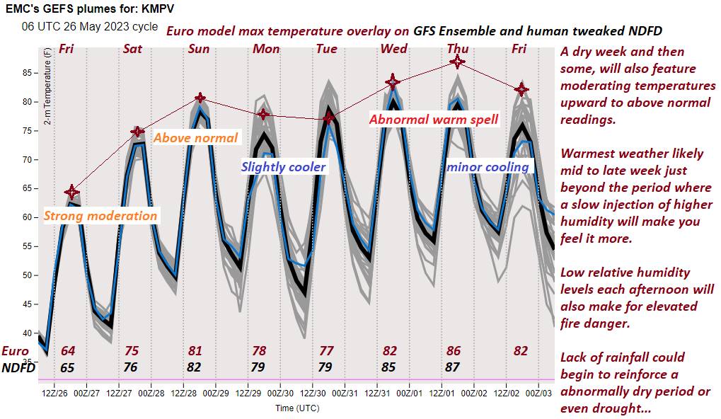
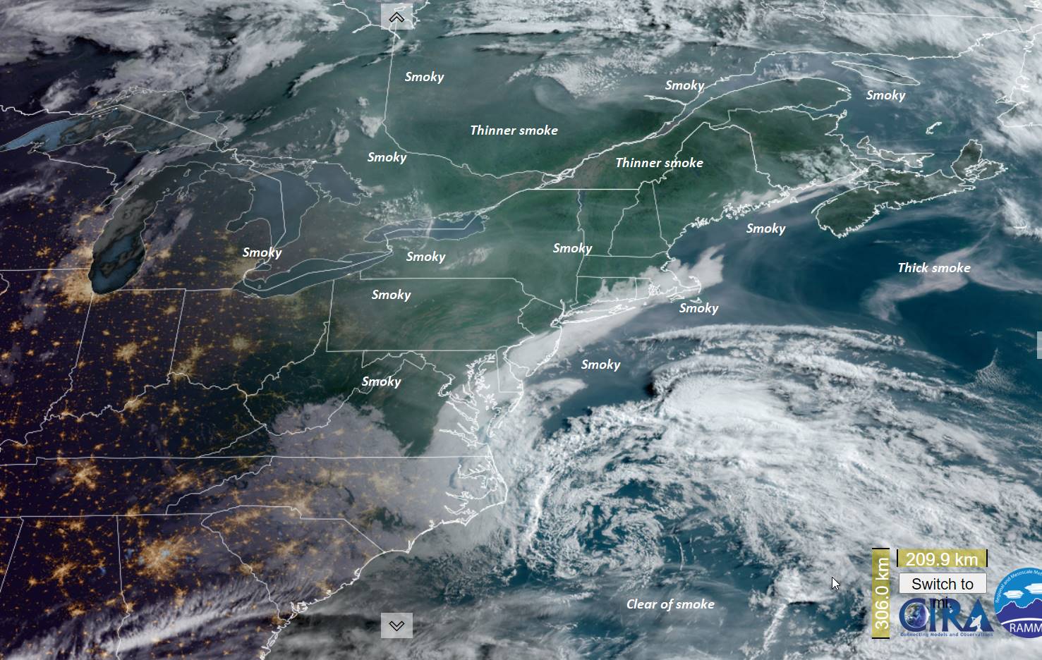
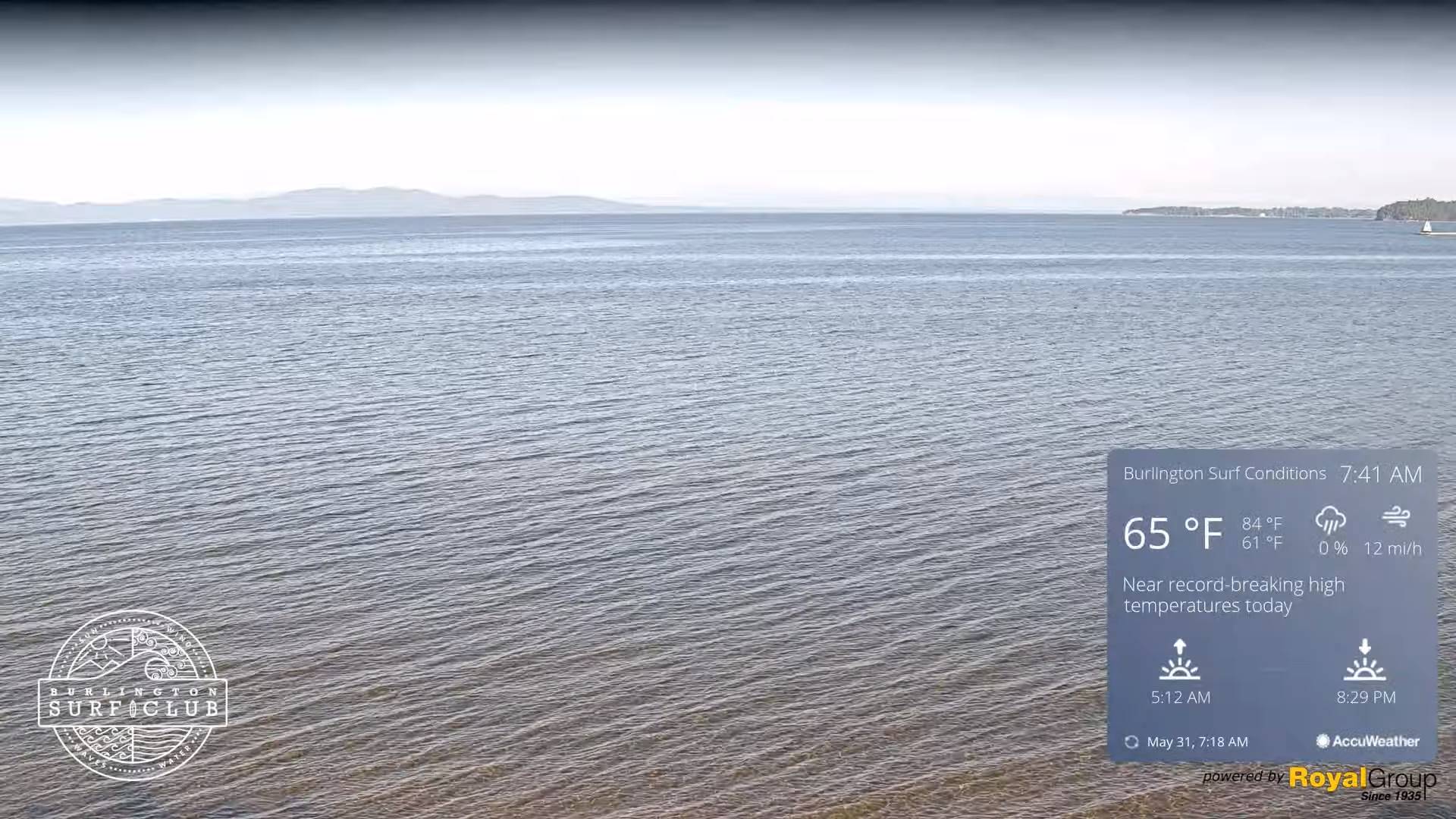
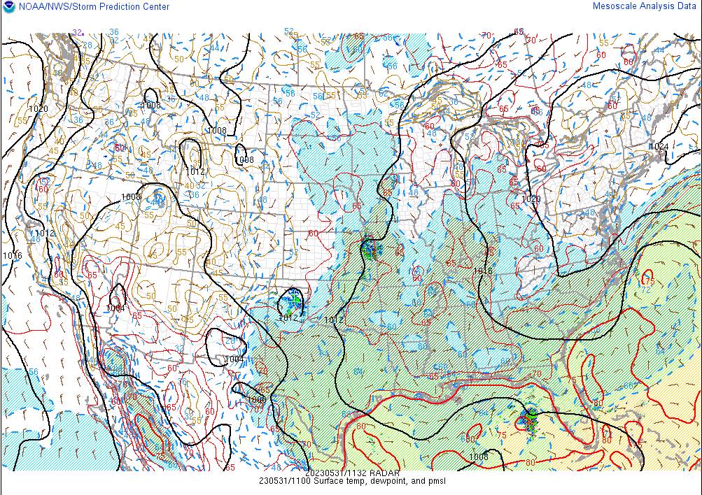
TODAY: Sunny. A high mid to upper 80s. A light west breeze.
TONIGHT: Clear & starlit. A low near 55. Little wind.
THURSDAY: Sunny with a few afternoon clouds. A high in the low 90s. Light north winds.
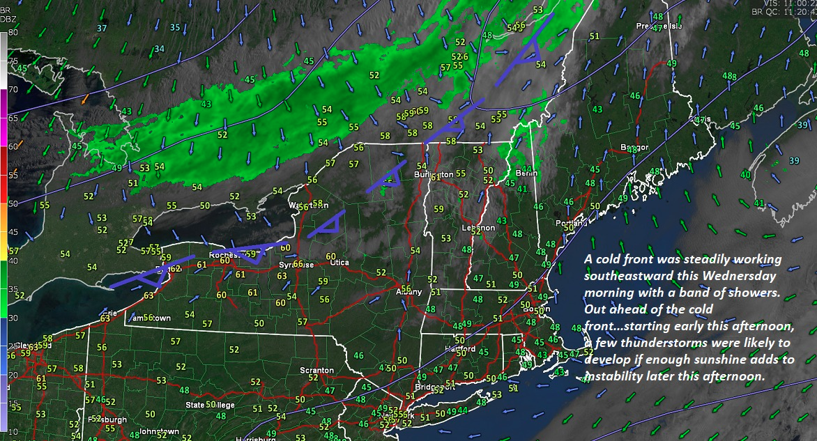
Looking further ahead
THURSDAY NIGHT: Clear & starlit. Not as cool. A low down to around 60.
FRIDAY: Morning sun then partly sunny and a tad more humid. Scattered afternoon showers & thunderstorms…one or two possibly strong. A high 85 to 90.
SATURDAY: Scattered mainly morning showers exiting. Partly to mostly sunny but much cooler. A low around 55. A high near 70.
SUNDAY: Sunny. A low 45 to 50. A high in the low 70s.
MONDAY: Sun then partly to mostly cloudy. Maybe a shower late. A low in the mid to upper 40s. A high in the mid-70s.
TUESDAY: Mixed sun and clouds. Isolated showers or thunderstorm possible. A low around 50. A high near 70.
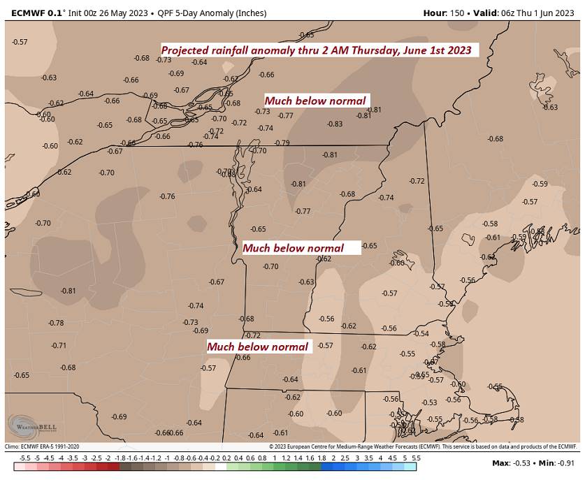
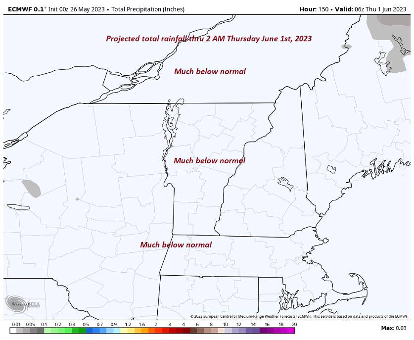
Average lows ranging 45 to 50. Average highs 70 to 75
Start of Meteorological summer June the 6th.
RH/5-30 forecast][end]