Updated Monday Evening Forecast — July 3rd, 2023

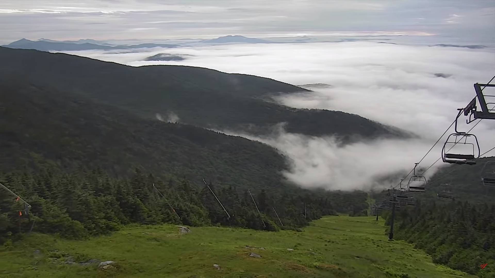
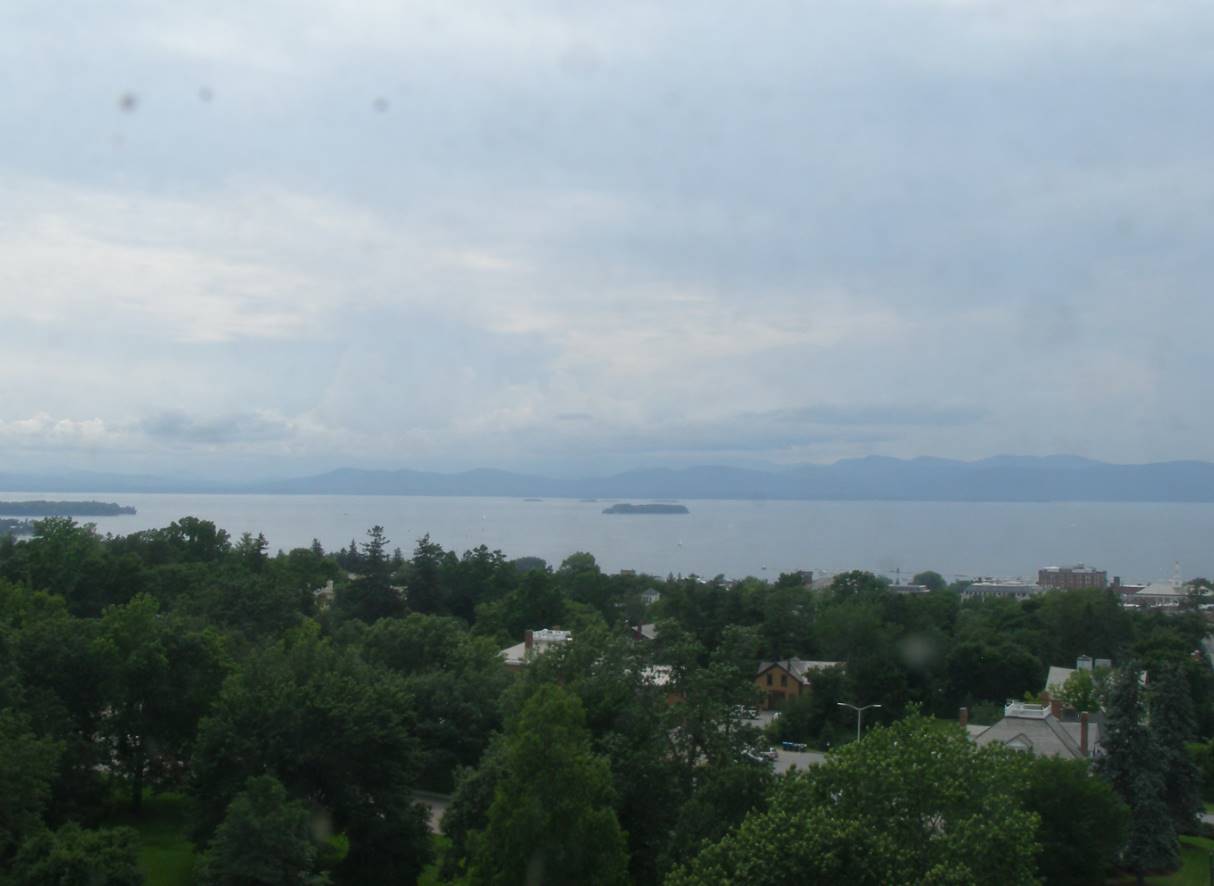
TONIGHT: Lots of clouds. Maybe an isolated shower. Partial clearing overnight leading to considerable valley fog. A low 60 to 65. Little wind.

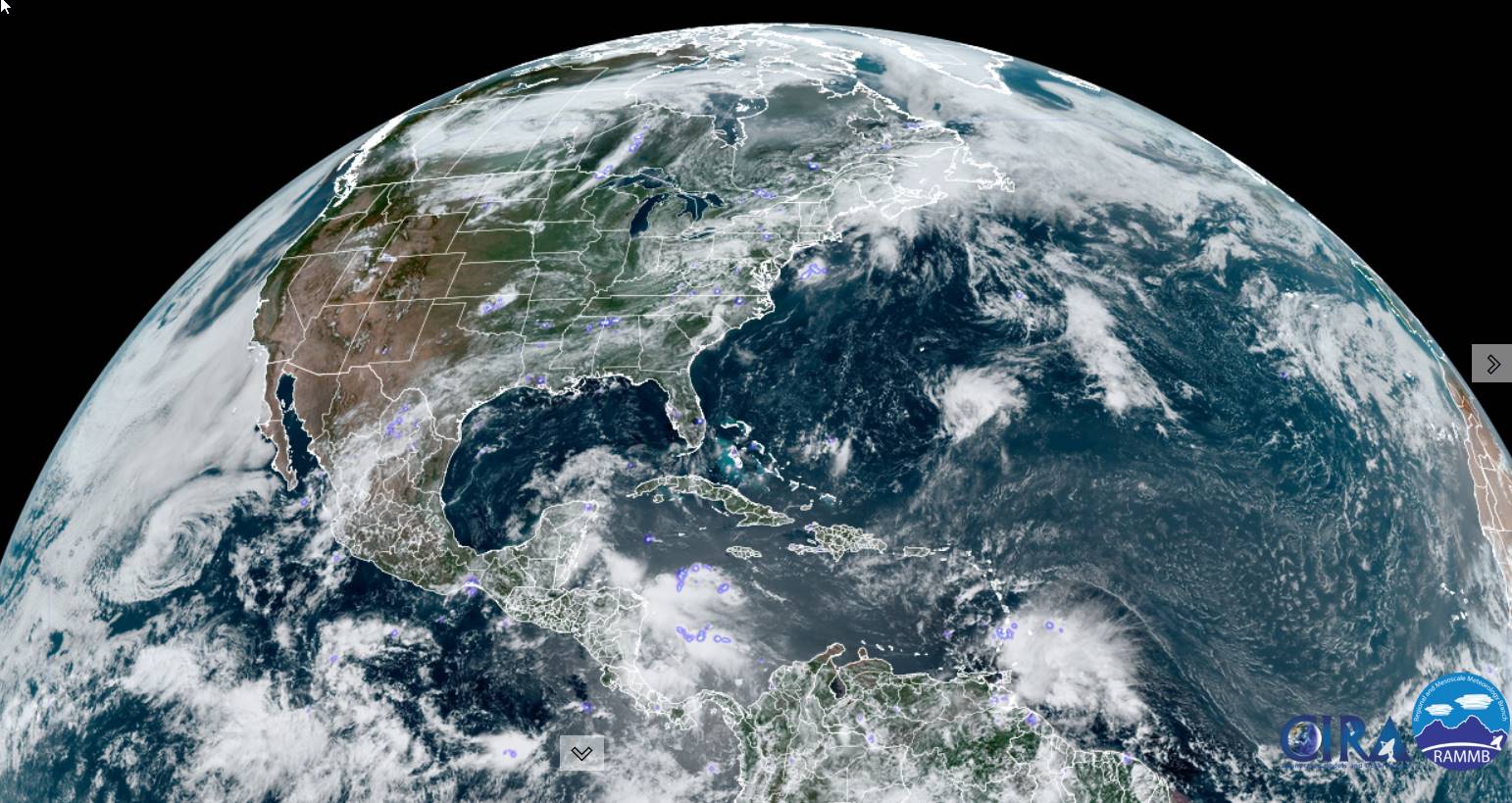
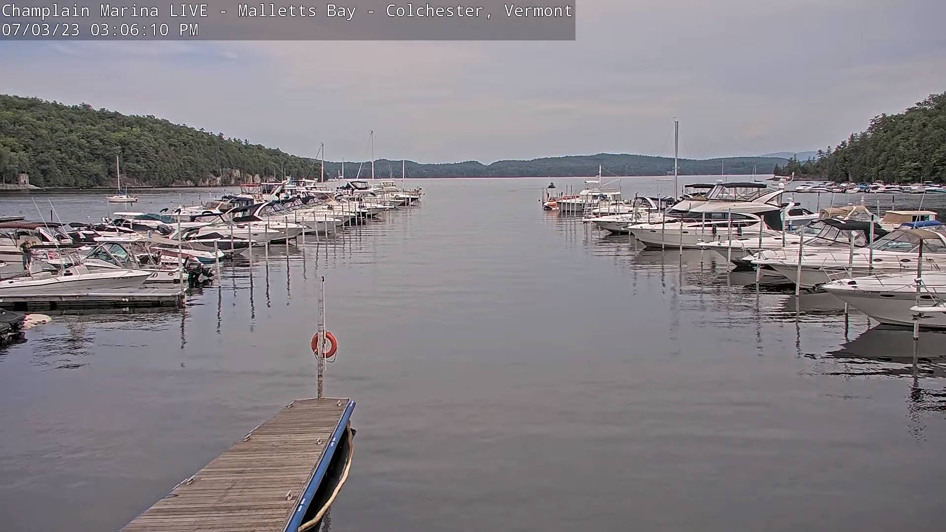
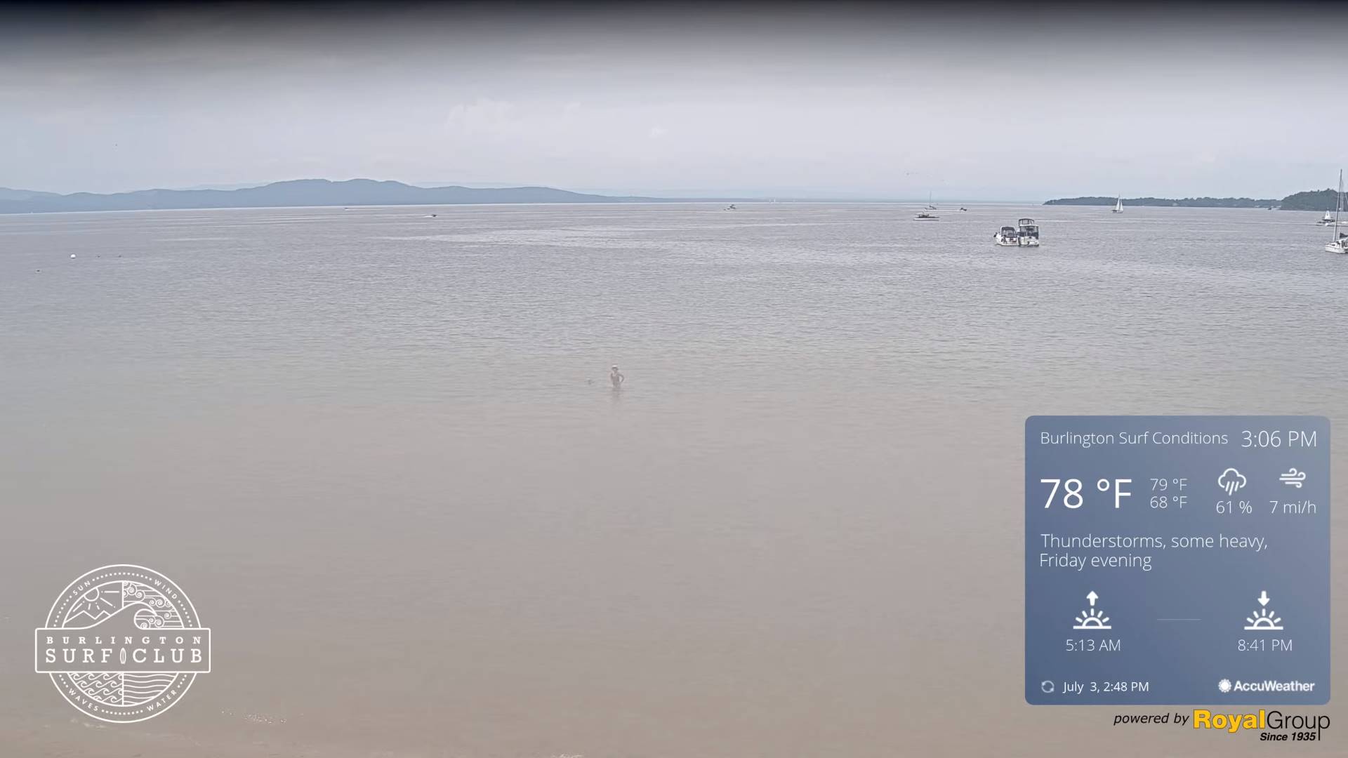
TOMORROW INDPENDENCE DAY: Partly sunny with afternoon cloudiness. Widely scattered hit and miss afternoon showers and thunderstorms. A high upper 70s pushing 80. Light northwest winds.

TUESDAY NIGHT: Clearing skies and moonlit, leading to considerable valley fog overnight. A low 60 to 65. Little wind.

WEDNESDAY: Morning low clouds and valley fog then partly to mostly sunny skies. An isolated pop-up shower or thunderstorm near the mountains. A high 80 to 85. Light northwest winds.

Looking further ahead

WEDNESDAY NIGHT: Mostly clear and partially moonlit. A low around 65.

THURSDAY: Some morning fog burns off to partly to mostly sunny skies. Warm and muggy. A high 85 to 90.

FRIDAY: Some partial morning sunshine, then afternoon clouds. Chance for showers and thunderstorms in the afternoon, some possibly strong. Muggy. A low mid to upper 60s. A high 80 to 85.

SATURDAY: More sun than clouds. Widely scattered showers maybe a thunderstorm. A low 60 to 65. A high around 80.

Average lows 55 to 60. Average high upper 70s around 80.

Summer temps peak July 22nd

RH/7-3 forecast][end]

Updated Monday morning Forecast — July 3rd, 2023

TODAY: Mainly cloudy and muggy. Chance for few showers…most numerous this afternoon. A few rumbles of thunder possible Champlain valley. A high mid to upper 70s. Light northwest winds.

TONIGHT: Lots of clouds. Isolated showers. Partial clearing overnight leading valley fog. A low around 65. Little wind.

TUESDAY INDPENDENCE DAY: Partly sunny with afternoon cloudiness. Widely scattered hit and miss afternoon showers and thunderstorms. A high pushing to near 80. Light northwest winds.

Looking further ahead

TUESDAY NIGHT: Clearing skies leading to considerable valley fog overnight. A low near 65.

WEDNESDAY: Patchy valley fog burns off to partly to mostly sunny skies. An isolated pop-up shower or thunderstorm near the mountains. A high 80 to 85.

THURSDAY: Some morning fog burns off to partly to mostly sunny skies. Warm and muggy. A low around 65. A high in the mid-80s pushing toward 90 warmer valleys.

FRIDAY: Some partial morning sunshine, then afternoon clouds. Widely scattered afternoon showers and thunderstorms. Muggy. A low in the mid-60s. A high 80 to 85.

Average lows 55 to 60. Average high upper 70s around 80.

Summer temps peak July 22nd

RH/7-3 forecast][end]

Updated Friday Evening Forecast — June 30th, 2023

Air Quality Alert thru Midnight

TONIGHT: Variable mainly high cloudiness this evening clearing overnight. Patchy valley fog. A low 60 to 65. Southeast breeze 10 mph.

TOMORROW: Fog burns off to periods of filtered sun, then more clouds in the afternoon. Isolated to widely scattered showers and thunderstorms toward the Champlain Valley. A high around 80. South breeze 10 mph.

SATURDAY NIGHT: Partly to mostly cloudy. Showers likely, with a few thunderstorms northwestern areas, locally heavy downpours. A low 60 to 65. South breeze 10 mph.

SUNDAY: Gray damp. Good chance for frequent showers…maybe a rumble of afternoon thunder. A high in the lower 70s. South to southeast breeze 10 mph.

Looking further ahead

SUNDAY NIGHT: Lots of clouds, with scattered leftover showers. A low near 65.

MONDAY: Mainly cloudy. Chance for showers and thunderstorms, some locally heavy. A high in the low to mid 70s.

TUESDAY the Fourth of July: Clouds and mixed sun. Widely scattered hit and miss showers and afternoon thunder. A little muggier. A low around 65. A high 75 to 80.

WEDNESDAY: Patchy valley fog burns off to partly to mostly sunny skies. A low near 65. A high 75 to 80

Average lows upper 50s to around 60. Average 75 to around 80.

Summer temps peak July 22nd

RH/6-30 forecast][end]

Updated Friday morning Weather — June 30th, 2023

Air Quality Alert thru Midnight

TODAY: Pick of the week. Considerable morning valley fog, burns off to hazy sunshine with a few cloudy periods this afternoon. A high around 80. Light south winds.

TONIGHT: Variable high cloudiness. Patchy valley fog. A low 60 to 65. Southeast breeze 10 mph.

SATURDAY: Partly sunny. Isolated to widely scattered showers and thunderstorms especially toward the Champlain Valley. A high around 80. South breeze 10 mph.

Looking further ahead

SATURDAY NIGHT: Variable clouds. Good chance for showers and thunderstorms especially northern areas, some with locally heavy downpours. A low 60 to 65.

SUNDAY: Gray. Chance for showers and afternoon thunderstorms, some locally heavy. A high low to mid 70s.

MONDAY: Mainly cloudy. Chance for showers and a few rumbles of thunder. A low near 65. A high in the low to mid 70s.

TUESDAY the Fourth of July: Clouds and mixed sun. Widely scattered hit and miss showers and afternoon thunder. A little muggier. A low around 65. A high 75 to 80.

WEDNESDAY: Patchy valley fog burns off to partly to mostly sunny skies. A low near 65. A high 75 to 80

Average lows upper 50s to around 60. Average 75 to around 80.

Summer temps peak July 22nd

RH/6-30 forecast][end]

Updated Thursday Evening Forecast — June 28th, 2023

Air Quality Alert thru Midnight

TONIGHT: Partly cloudy this evening, then more clouds overnight. Less humid. A low mid to upper 50s. Little wind.

TOMORROW: Pick of the week. Sunshine with a cloudy period or two. A high around 80. Light south winds.

FRIDAY NIGHT: Variable high cloudiness. A low 60 to 65. Southeast breeze 10 mph.

SATURDAY: Partly sunny. Widely scattered showers and isolated thunderstorms especially northern western areas. A high upper 70s to around 80. South breeze 10 mph.

Looking further ahead

SATURDAY NIGHT: Variable clouds. Chance for a shower or thunderstorm northern areas. A low 60 to 65.

SUNDAY: Mostly cloudy. A few hit and miss showers & afternoon thunderstorms. A high upper 70s to around 80.

MONDAY: Hit and miss showers & isolated thunder. Otherwise, partial sunshine. A low 60 to 65. A high in the mid-70s.

TUESDAY the Fourth of July: Clouds and mixed sun. Widely scattered hit and miss showers and afternoon thunder. A little muggier. A low around 65. A high 75 to 80.

Average lows upper 50s to around 60. Average 75 to around 80.

Summer temps peak July 22nd

RH/6-27 forecast][end]

Updated Thursday Morning Forecast — June 29th, 2023

Air Quality Alert 10 AM thru Midnight tonight.

TODAY: Valley fog burns off to hazy partial sunshine. Isolated showers with a risk for a few late afternoon rumbles eastern areas. Not as muggy. A high 70 to 75. Light west breeze.

TONIGHT: Clear in the evening then partly cloudy. Less humid. A low mid to upper 50s. Light northwest winds.

FRIDAY: Pick of the week. Partly to mostly sunny with a few more afternoon clouds, maybe a mountain sprinkle. A high in the low 80s. Light south winds.

Looking further ahead

FRIDAY NIGHT: Variable high cloudiness. A low 60 to 65.

SATURDAY: Partly sunny. Scattered showers and a few thunderstorms, one or two possibly strong in the evening northern western areas. A high upper 70s to around 80.

SUNDAY: Mostly cloudy. A few hit and miss showers & afternoon thunderstorms. A low 60 to 65. A high upper 70s to around 80.

MONDAY: Hit and miss showers & isolated thunder. Otherwise, partial sunshine. A low 60 to 65. A high in the mid-70s.

TUESDAY the Fourth of July: Clouds and mixed sun. Widely scattered hit and miss showers and afternoon thunder. A little muggier. A low around 65. A high 75 to 80.

Average lows upper 50s to around 60. Average 75 to around 80.

Summer temps peak July 22nd

RH/6-27 forecast][end]

Updated Wednesday Evening Forecast — June 28th, 2023

TONIGHT: Partly to mostly cloudy. Isolated showers maybe a thunderstorm, some locally heavy. Patchy valley fog. A low in the upper 50s around 60. Light west to southwest winds.

TOMORROW: Partly sunny. Widely scattered showers and isolated afternoon thunderstorms. A high near 75. Light west breeze.

THURSDAY NIGHT: Clear in the evening then partly cloudy. A low upper 50s. Light northwest winds.

FRIDAY: Pick of the week. Partly to mostly sunny with a few more clouds late. Maybe a mountain sprinkle. A high reaching the low 80s. Light south winds.

Looking further ahead

FRIDAY NIGHT: Variable high cloudiness. A low in the lower 60s.

SATURDAY: Sun and clouds. Scattered showers and afternoon thunderstorms. A high around 80.

SUNDAY: Mostly cloudy. Widely scattered showers and afternoon thunderstorms. A low 60 to 65. A high 70 to 75.

MONDAY: Chance for a few showers & isolated thunder. Otherwise, lots of clouds giving way to partial sunshine. A low in the low 60s. A high 70 to 75.

TUESDAY: Clouds and mixed sun. Widely scattered showers and afternoon thunderstorms. A low around 65. A high around 75.

Average lows mid to upper 50s. Average mid-70s to around 80.

Approximate Peak of summer July 22nd

RH/6-27 forecast][end]

Updated Wednesday Morning Forecast — June 28th, 2023

TODAY: Clouds with breaks or intervals of sun. Isolated showers possible this morning…more numerous this afternoon with isolated thunderstorms especially eastern areas. A high near 75. South breeze 10 mph.

TONIGHT: Partly to mostly cloudy. Isolated showers maybe a thunderstorm. Patchy valley fog. A low around 60. Light southeast winds.

THURSDAY: Partly sunny. Widely scattered afternoon & early evening showers and isolated thunderstorms. A high 70 to 75. Light south to southwest breeze.

Looking further ahead

THURSDAY NIGHT: Clear in the evening then partly cloudy. A low upper 50s to around 60.

FRIDAY: Pick of the week. Morning clouds then partly to mostly sunny. Just an isolated mountain shower threat. A high reaching to around 80.

SATURDAY: Clouds mixing with periods of sunshine. Chance for numerous showers and afternoon thunderstorms. A low around 60. A high 75 to 80.

SUNDAY: Mostly cloudy. Widely scattered showers and afternoon thunderstorms. A low 60 to 65. A high 70 to 75.

MONDAY: Chance for a few showers & isolated thunder. Otherwise, lots of clouds giving way to partial sunshine. A low near 60. A high 70 to 75.

TUESDAY: Clouds and mixed sun. Widely scattered showers and afternoon thunderstorms. A low around 65. A high around 75.

Average lows mid to upper 50s. Average mid-70s to around 80.

Approximate Peak of summer July 22nd

RH/6-27 forecast][end]

Updated Tuesday Night Weather — June 27th, 2023

Flood warning in effect for portion of the central Green Mountains Rutland County to Washington County…

TONIGHT: Mostly cloudy. Showers, some persistent and heavy, with rising stream and rivers…maybe a rumble of thunder. A low in the lower 60s. Light southeast winds.

TOMORROW: Mainly cloudy. Isolated showers then more numerous mid to late afternoon with a few rumbles of thunder. A high near 75. South breeze 10 mph.

WEDNESDAY NIGHT: Mostly cloudy. Isolated showers maybe a thunderstorm. A low around 60. Light southeast winds.

THURSDAY: Partly sunny. Widely scattered afternoon & early evening showers and thunderstorms. A high 70 to 75. Light south to southwest breeze.

Looking further ahead

THURSDAY NIGHT: Clear in the evening the scattered clouds later on. A low upper 50s to around 60.

FRIDAY: Pick of the week. Morning clouds then increasingly sunny. A high about 80.

SATURDAY: Mostly cloudy. Chance for numerous showers and afternoon thunderstorms. A low around 60. A high 75 to 80.

SUNDAY: Mostly cloudy. Widely scattered showers and afternoon thunderstorms. A low 60 to 65. A high 70 to 75.

MONDAY: Chance for showers. Otherwise, lots of clouds giving way to partial sunshine. A low near 60. A high 70

to 75.

Average lows mid to upper 50s. Average mid-70s to around 80.

Approximate Peak of summer July 22nd

RH/6-27 forecast][end]

Updated Tuesday Morning Forecast — June 27th, 2023

TODAY: Lots of clouds with a few breaks of sun. Scattered mainly afternoon showers and locally heavy thunderstorms. One or two possibly strong western areas. A high near 75. Southeast breeze 10 mph.

TONIGHT: Mostly cloudy. Widely scattered showers and isolated thunderstorms. A low 60 to 65. Light southeast winds.

WEDNESDAY: Mostly cloudy. Isolated showers more numerous mid to late afternoon with a few thunderstorms especially western areas. A high 70 to 75. South breeze 10 mph.

Looking further ahead

WEDNESDAY NIGHT: Mostly cloudy. Isolated showers maybe a thunderstorm. A low in the lower 60s.

THURSDAY: Mixed sun and clouds. Widely scattered afternoon & early evening showers and thunderstorms. A low 60 to 65. A high 70 to 75.

FRIDAY: Pick of the week. More sun than clouds. A low upper 50s to around 60. A high in the low 80s.

SATURDAY: Mostly cloudy. Scattered showers and afternoon thunderstorms. A low around 60. A high 75 to 80.

Average lows mid to upper 50s. Average mid-70s to around 80.

Approximate Peak of summer July 22nd

RH/6-27 forecast][end]