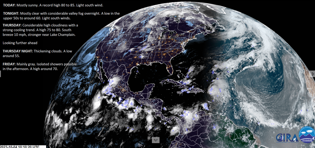
TONIGHT: Mostly clear with considerable valley fog overnight. A low in the upper 50s to around 60. Light southeast breeze.
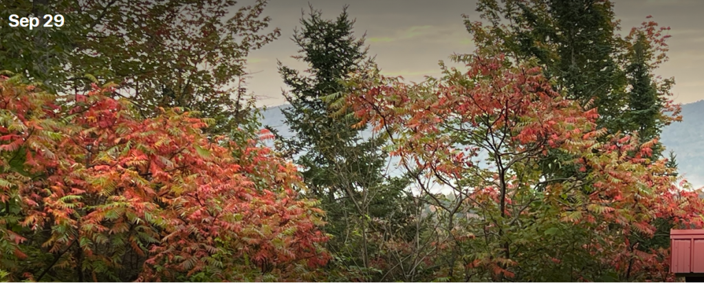
TOMORROW: Sunshine filtered thru high cloudiness with a strong cooling trend. A high 75 to 80. South breeze 10 mph, stronger near Lake Champlain.
THURSDAY NIGHT: Thickening high cloudiness.A low around 55.South to southeast breeze 10 mph stronger near Lake Champlain.
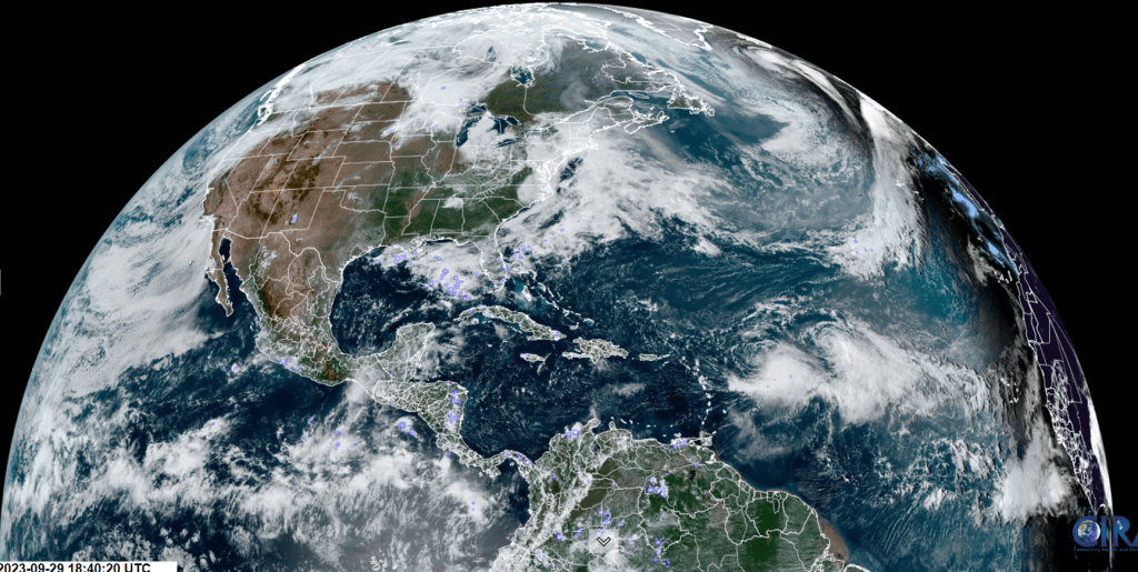
FRIDAY: Mostly cloudy.A rising chance for showers southern areas spreading north in the afternoon. A high around 70. South winds 10 to 20 mph.
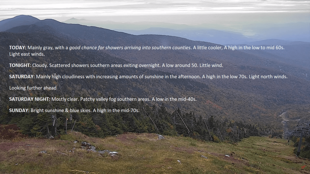
Looking further ahead
FRIDAY NIGHT: Lots of clouds. Showers likely, a few moderate at times. A low in the low 60s
SATURDAY: Overcast.Good chance for frequent showers, some moderate to briefly heavy, maybe a rumble of thunder western areas. A high around 65.
SUNDAY: Variable cloudiness & unsettled with scattered showers.A low upper 40s. A high 50 to 55.
MONDAY: Mixed sun and clouds. Chance for mountain sprinkles or brief showers. A low 40 to 45. A high 50 to 55.
TUESDAY: Partly to mostly cloudy. A low 40 to 45. A high in the low to mid 50s.
Average lows upper 30s to low 40s. Average highs upper 50s to lower 60s.
RH/10-4 forecast][end]