Updated Wednesday Evening Forecast — December 27th, 2023

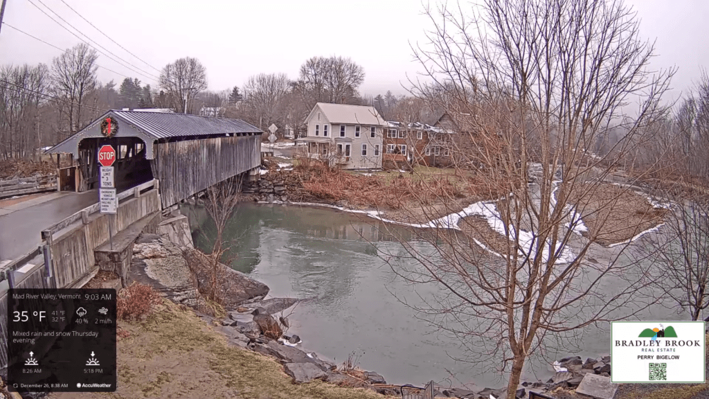
TONIGHT: Overcast. Occasional light rain & drizzle with areas of fog. A low 35 to 40. Light east winds.

TOMORROW: Light rain…central and southern areas then spreading north in the afternoon. Otherwise cloudy. A high 40 to 45. Light northeast winds.

THURSDAY NIGHT: Cloudy. Occasional light rain or showers are likely. A low around 35. Light northeast winds.

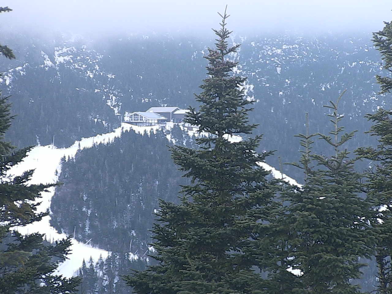
FRIDAY: Gray skies. Scattered rain showers eventually mixed with wet snowflakes mountain summits. The high upper 30s to around 40. Light variable winds.

Looking further ahead

FRIDAY NIGHT: Cloudy. Scattered light accumulating snow showers or flurries with a minor coating overnight. A low upper 20s.

SATURDAY: Gray and a little blustery at times. Scattered wet snow showers with minor coating in the higher terrain. A high 32 to 35 degrees.

SUNDAY: Maybe some breaks of sun, otherwise a few leftover mountain flurries. A low in the low to mid 20s. A high around 32.

MONDAY NEW YEARS DAY: Morning clouds then partial afternoon sunshine. Slight chance for a mountain flurry. A low 20 to 25. A high upper 20s to near 30.

Average lows are mid-single digits to lower teens. Average highs are mid-20s to lower 30s.

RH/12-27forecast][end]

Updated Wednesday Morning Forecast — December 27th, 2023

TODAY: Gray skies. Morning sprinkles then occasional rain showers. A high near 45. Light southeast winds.

TONIGHT: Overcast. Good chance for light rain or drizzle with areas of fog. A low 35 to 40. Light east winds.

THURSDAY: Good chance for light rain…central and southern areas then spreading north. Otherwise cloudy. A high 40 to 45. Light northeast winds.

Looking further ahead

THURSDAY NIGHT: Cloudy.Chance for occasional light rain, a slight risk for icy spots far eastern Vermont. A low around 35.

FRIDAY: Gray skies. Scattered rain showers mixing with wet snow flakes in the hills Friday night. A high upper 30s to around 40. 

SATURDAY: Gray and a little blustery at times. Scattered wet snow showers with minor coating in the higher terrain. A low upper 20s. A high 32 to 35 degrees.

SUNDAY: Maybe some breaks of sun, otherwise a few leftover mountain flurries. A low in the low to mid 20s. A high around 32.

Average lows mid-single digits to lower-teens. Average highs mid-20s to lower 30s.

RH/12-27forecast][end]

Updated Tuesday Evening Forecast — December 26th, 2023

TONIGHT: Clouding up. Periods of light rain or pockets of drizzle developing. A low dipping into the mid to upper 30s. Light south winds.

TOMORROW: Gray skies. Morning sprinkles then occasional rain showers. A high 40 to 45. Light southeast winds.

WEDNESDAY NIGHT: Overcast. Good chance for light rain or drizzle with areas of fog. A low mid to upper 30s. Light east winds.

THURSDAY: Good chance for light rain…central and southern areas then spreading north. Otherwise cloudy. A high in the lower 40s. Light northeast winds.

Looking further ahead

THURSDAY NIGHT: Cloudy.Chance for occasional light rain, with pockets of freezing rain possible toward the Northeast Kingdom. Watch for icy spots. A low 32 to 35.

FRIDAY: Overcast. Scattered rain showers or spotty mixed precipitation with slick travel transitions to light wet spotty snow or flurries. A light slushy coating eastern Vermont. A high in the mid-30s.

SATURDAY: Gray and a little blustery at times. Scattered mainly mountain snow showers or flurries with minor accumulation. A low upper 20s. A high around 35 degrees.

SUNDAY: Partial morning sun then more clouds. A low 20 to 25. A high near 32.

Average lows mid-single digits to lower-teens. Average highs mid-20s to lower 30s

RH/12-26forecast][end]

Updated Tuesday Morning Forecast — December 26th, 2023

TODAY: Drab & gray with areas of dense fog. Pockets of drizzle. A high in the mid-40s. Light south winds.

TONIGHT: Cloudy. A rising chance for light rain showers pockets of drizzle. An evening low in the mid-30s. Light south winds.

WEDNESDAY: Gray skies. Scattered sprinkles or light showers northern areas. A high 40 to 45. Light south winds.

Looking further ahead

WEDNESDAY NIGHT: Overcast. Chance for light rain or drizzle with areas of fog. A low mid to upper 30s.

THURSDAY: Cloudy. Chance for light showers mainly central and southern areas. A high 40 to 45.

FRIDAY: Overcast. Scattered rain showers or spotty mixed precipitation with slick travel developing transitioning to light wet spotty snow or flurries. A low 32 to 35. A high in the mid to upper 30s. 

SATURDAY: Gray and a little blustery at times. Scattered mainly mountain snow showers or flurries with minor accumulation. A low upper 20s to around 30. A high around 32 degrees.

SUNDAY: Maybe a break or two of sun but lots of clouds. A low 20 to 25. A high around 30.

Average lows mid-single digits to lower-teens. Average highs mid-20s to lower 30s

RH/12-26forecast][end]

Updated Friday Evening Forecast — December 22nd, 2023 — Happy Holidays

TONIGHT: A few high clouds this evening thickening up late. A low mid to upper teens. Light southeast winds.

TOMORROW: Clouds with an occasional break of sun. A high around 35. Light south winds stronger near Lake Champlain.

SATURDAY NIGHT: Lots of clouds. A chance for a few wet snow flurries mixed with spotty freezing rain. A dusting with possible icy spots especially central and southern areas. A low upper 20s near 30. Light south winds.

SUNDAY: More clouds than sunshine. A high 35 to 40. Light south winds.

Looking further ahead

SUNDAY NIGHT CHRISTMAS EVE: Scattered clouds to mostly clear early then clouding up.A low 25 to 30.

MONDAY CHRISTMAS DAY: Clouds mixed with intervals of sun. A high in the mid-40s.

TUESDAY: Cloudy periods. A rising chance for sprinkles late. A low around 32. A high in the 40s.

WEDNESDAY: Gray. Chance for periods of light rain with areas of dense fog. A low 35 to 40. A high in the 40s.

Average lows upper single digits to mid-teens. Average highs upper 20s to mid-30s

RH/12-22forecast][end]

Updated Friday morning Forecast — December 22nd, 2023

TODAY: Sunshine with a few high clouds later on.A high in the mid-20s. Little wind.

TONIGHT: A few high clouds in the evening thickening up late. A low mid to upper teens. Light southeast winds.

SATURDAY: Clouds with an occasional break or interval of sun. A high 35 to 40. Light south winds stronger near Lake Champlain.

Looking further ahead

SATURDAY NIGHT: Partly to mostly cloudy. A chance for a few wet snow flurries mixed with spotty freezing rain. A dusting with possible icy spots especially central and southern areas. A low 25 to 30.

SUNDAY: More clouds than sunshine. A high in the lower 40s.

MONDAY CHRISTMAS DAY: Clouds with intervals of sunshine. A low 25 to 30. A high in the mid-40s.

TUESDAY: More clouds than sun. A rising chance for sprinkles. A low around 32. A high in the 40s.

WEDNESDAY: Gray. Chance for periods of light rain with areas of dense fog. A low 35 to 40. A high in the 40s.

Average lows upper single digits to mid-teens. Average highs upper 20s to mid-30s

RH/12-22forecast][end]

Updated Thursday Evening forecast — December 21st, 2023

Winter Solstice 10:27 PM

TONIGHT: Clear with a couple high clouds. A low in the low teens. Light north winds.

TOMORROW: Sunshine with a few high clouds late.A high in the mid-20s. Little wind.

FRIDAY NIGHT: A few high clouds in the evening thickening up late. A low in the upper teens. Light southeast winds.

SATURDAY: Clouds with an occasional break or interval of sun. A high in the upper 30s. Light south winds stronger near Lake Champlain.

Looking further ahead

SATURDAY NIGHT: Partly to mostly cloudy. A chance for a few flurries with a dusting in spots central and southern areas. A low in the mid to upper 20s.

SUNDAY: Sunshine mixing with more clouds late. A high in the lower 40s.

MONDAY CHRISTMAS DAY: Variable cloudiness. A low 25 to 30. A high in the mid-40s.

TUESDAY: Mostly cloudy. A rising chance for sprinkles. A low upper 20s. A high 40 to 45.

Average lows upper single digits to mid-teens. Average highs upper 20s to mid-30s

RH/12-21forecast][end]

Updated Thursday Morning Forecast — December 21st, 2023

TODAY: A few morning clouds then mostly sunny. A high in the mid-upper 20s. Northerly winds continuing 10 mph.

Winter Solstice December 10:27 PM this evening….

TONIGHT: Clear with a couple high clouds. A low ranging 5 to 15 above. Light north winds.

FRIDAY: Sunshine with a few high clouds late.A high 25 to 30. Little wind.

Looking further ahead

FRIDAY NIGHT: A few high clouds in the evening thickening up overnight. A low in the upper teens.

SATURDAY: Clouds with an occasional break or interval of sun. A chance for a few mountain flurries with a dusting in spots. A high in the upper 30s.

SUNDAY: Sunshine mixing with more clouds late. A low in the mid to upper 20s. A high in the lower 40s.

MONDAY CHRISTMAS DAY: Variable mainly high cloudiness. A low 25 to 30. A high in the mid-40s.

TUESDAY: Mostly cloudy. A rising chance for sprinkles. A low upper 20s. A high 40 to 45.

Average lows upper single digits to mid-teens. Average highs upper 20s to mid-30s

RH/12-21forecast][end]