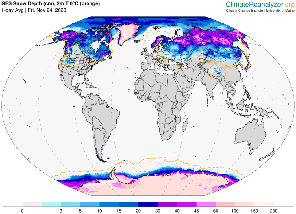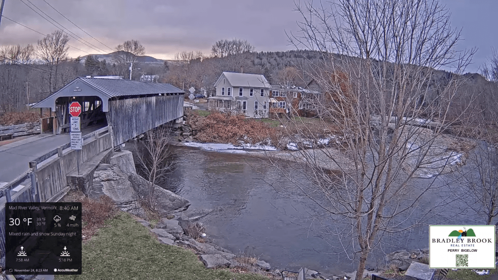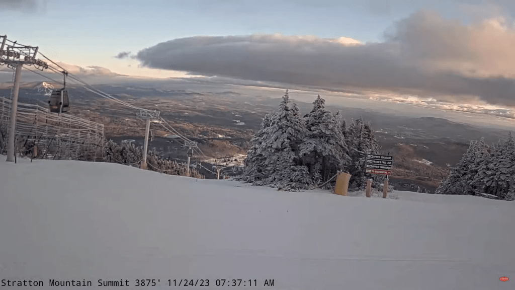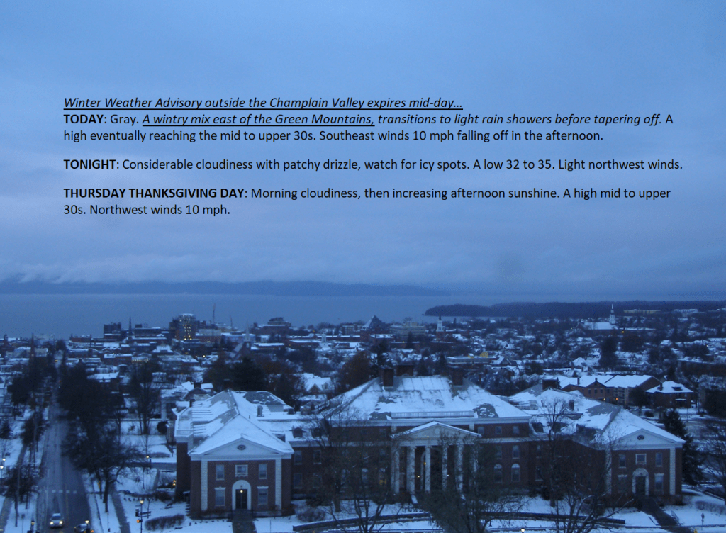
TODAY: Sun and clouds. Scattered mountain lake-effect flurries with a dusting to locally an inch in spots. A high in the upper 20s. West breeze 10 to 15 mph
TONIGHT: Variable clouds in northern areas, with a dusting to locally an inch from mountain lake effect flurries. Mostly clear with moonlit skies in southern areas. A low in the teens. West to northwest winds 10 mph.
WEDNESDAY: Sun and clouds. Isolated flurries. A high in the mid to upper 20s. Southwest winds 10 mph.
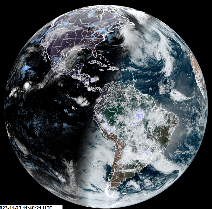
Looking further ahead
WEDNESDAY NIGHT: Cloudy periods. A low in the mid to upper teens.
THURSDAY: Pick of the week. Bright sunshine becomes filtered through high clouds in the afternoon. A high mid to upper 30s.
FRIDAY: Milder. Thickening clouds. A rising chance of rain showers mixing with wet snowflakes on high terrain late. A low around 30. A high pushing to near 45.
SATURDAY: Clouds with intervals of sun. A low around 15. A high in the mid-30s.
SUNDAY: Gray. Chance for rain showers mixed with wet snow at higher elevations. A low 15 to 20. A high in the mid-30s.
Average lows upper teens to mid-20s. Average highs are mid-30s to around 40.
RH/11-27forecast][end]