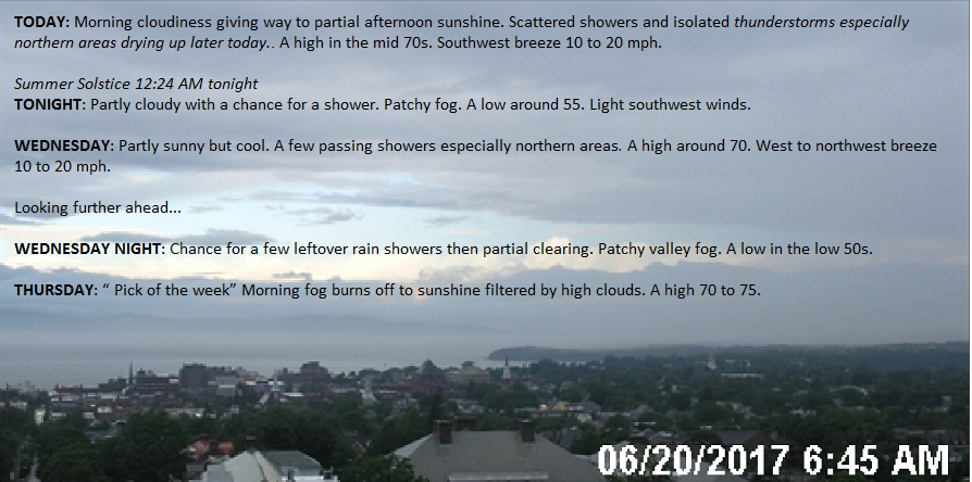
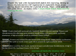
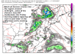
Summer Solstice 12:24 AM tonight
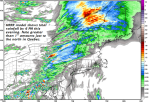
TONIGHT: Partly cloudy. Slight chance for a brief shower this evening becoming more numerous toward daybreak. Patchy valley fog. A low in the mid to upper 50s. Light southwest winds.
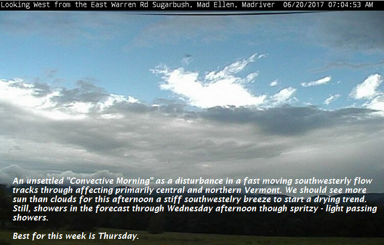
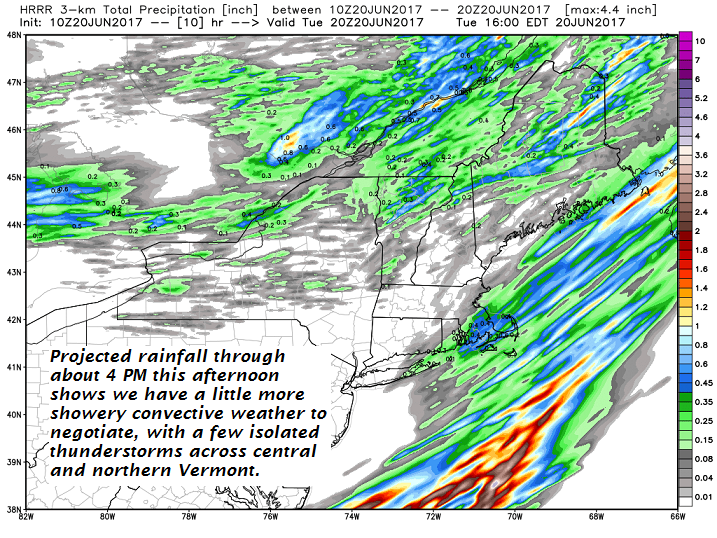
TOMORROW: Partly sunny but cool. Scattered rain showers especially northern areas. A high in the low 70s. West breeze 10 to 15 mph.
WEDNESDAY NIGHT: Chance for leftover rain showers early, then partial clearing. Patchy valley fog. A low in the low 50s. Light southwest winds.
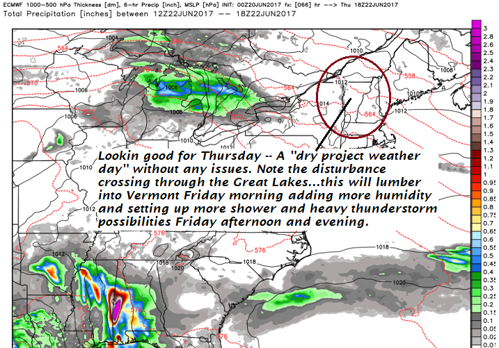
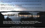
THURSDAY: “ Pick of the week” Morning fog burns off to sunshine filtered by high clouds. A high 70 to 75. Light southwest winds.
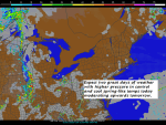
Looking further ahead…
THURSDAY NIGHT: Thickening clouds with a chance for showers. A low upper 50s to around 60.
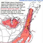
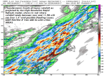
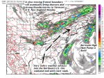
FRIDAY: Partly to mostly cloudy. Good chance for showers and afternoon thunderstorms some…may be strong and heavy. A high about 75 to 80.
SATURDAY: Chance for morning showers, then partly sunny in the afternoon. A low 55 to 60. A high mid to upper 70s.
SUNDAY: Variably cloudy with a chance for showers and thunderstorms northern areas. A low in the 50s. A high 70 to 75.
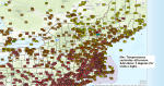
Average low in the mid to upper 50s. Normal highs 75 to 80.
RH/6-20[end]