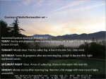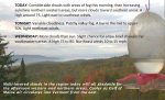
TONIGHT: Mostly clear on this first night of Autumn. Patchy valley fog. A low around 50. Little wind.
TOMORROW: Sunny & gorgeous after any morning fog. A high in the low 80s. Light northwest winds.
SATURDAY NIGHT: Clear. Areas of valley fog. A low in the upper 50s near 60. Light south winds.
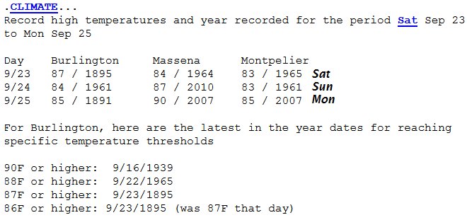
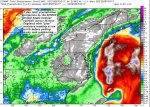
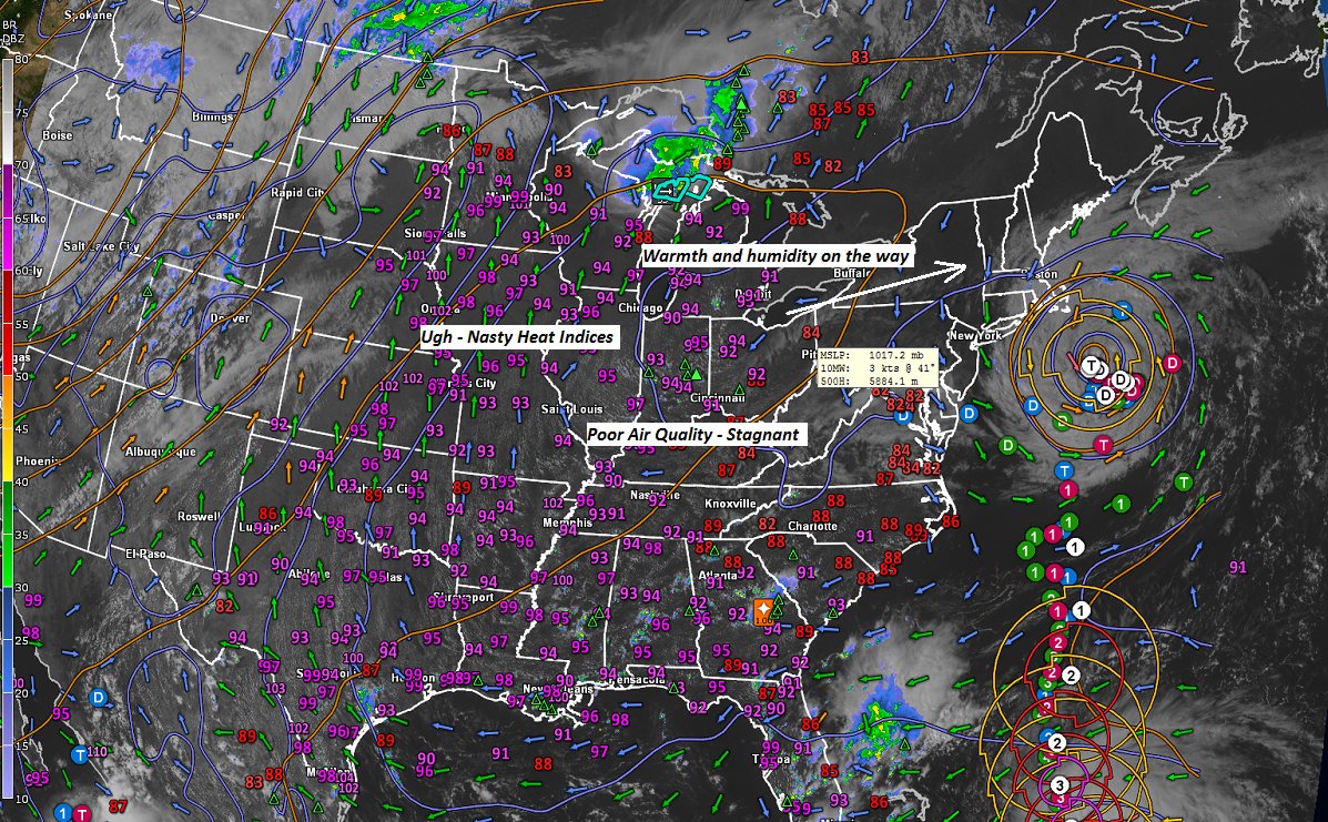
SUNDAY: Mostly sunny after morning fog. Warmer & a bit muggy. Near record highs close to 85. Light northwest breeze.
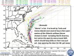
Looking further ahead…
SUNDAY NIGHT: Clear with patchy valley fog. A low in the lower 60s.
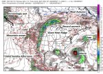
MONDAY: Sunshine, warm more humid. Record highs 85 to 90.
TUESDAY: Filtered sunshine after morning fog burns off. Partly sunny southern areas. Warm and muggy. A low 60 to 65. Near record high around 85.
WEDNESDAY: Mixed clouds and sun after morning fog. More clouds in the afternoon leading to a chance for showers and thunderstorms. Muggy and not as humid. A low in the lower 60s. A high 75 to 80.
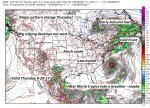
THURSDAY: Mostly cloudy much cooler and less humid. Isolated leftover mountain sprinkles possible.A low in the mid 50s. Temperatures only topping out in the upper 50s to low 60s.
Average low 45 to 50. Normal highs mid 60s to around 70.
RH/9-22 [end]
| Virus-free. www.avast.com |