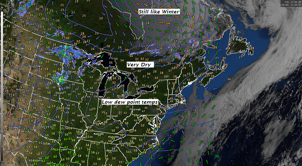
TONIGHT: Mostly cloudy with scattered rain showers exiting before daybreak. A low mid 30s to near 40. Northwest winds 10 to 20 mph.
TOMORROW: A few morning clouds then lots of sunshine. A high 50 to 55. Northwest breeze 10 to 20 mph.
FRIDAY NIGHT: Fair early, then thickening clouds. An early low 32 to 35 with scattered frost likely. Little wind.
SATURDAY: Mainly cloudy. Showers or a period of rain Bare-Montpelier area and points south exiting as a few leftover showers late. Rather cool. A high in the upper 40s southern areas, to low 50s northern areas. Light south winds.
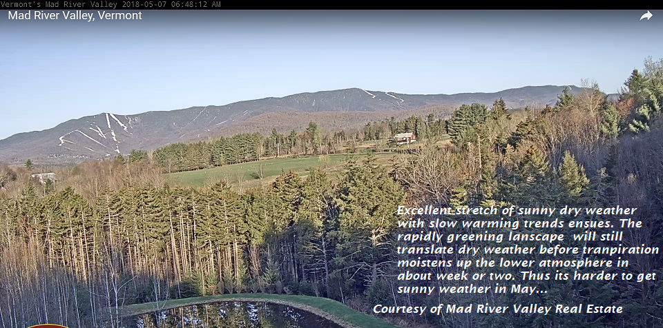
Looking further ahead…
SATURDAY NIGHT: Gradual clearing. Dense valley fog developing overnight. A low 30 to 35.
SUNDAY Mother’s Day: Morning clouds giving way to lots of afternoon sunshine. A high 60 to 65.
MONDAY: Mixed clouds and sun. A low 35 to 40. A high 65 to 70.
TUESDAY: Lots of sunshine. A low 40 to 45. A high A in the low 70s.
WEDNESDAY: Partly to mostly cloudy. Scattered showers . A low around 50. A high in the upper 60s to near 70.
Average lows 40 to 45. Normal highs around 65.
RH/5-10-18[end]
| Virus-free. www.avast.com |