Heat Advisories lower valleys Tuesday afternoon and evening.
TODAY: A few morning showers, then becoming partly to mostly sunny hot and steamy. A high upper 80s to low 90s. Southwest breeze 10 to 20 mph.
TONIGHT: Clear in the evening then partially moonlit overnight. Sultry. A low upper 60s to around 70. Light southwest winds.
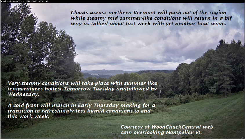
WEDNESDAY: Mostly sunny, sticky. Widely scattered late day showers and thunderstorms northern tier areas. A high in the upper 80s to around 90. Southwest breeze 10 mph.
Looking further ahead…
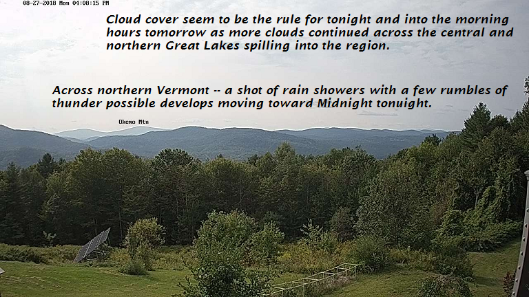
WEDNESDAY NIGHT: Cloudy. Chance for showers and few brief thunderstorms. A low around 65.
THURSDAY: Scattered showers, maybe a rumble of thunder early, then partial afternoon sunshine. Becoming cooler and less humid in the afternoon. A high near 75.
FRIDAY: Partly sunny in the morning more afternoon clouds. Pleasant. A low 50 to 55. A high near 75.
SATURDAY: Clouds with intervals of sun. A low around 60. A high in the mid 70s.
Average lows in the low to mid 50s. Normal highs in the 70s.
RH/8-28-18[end]
| Virus-free. www.avast.com |