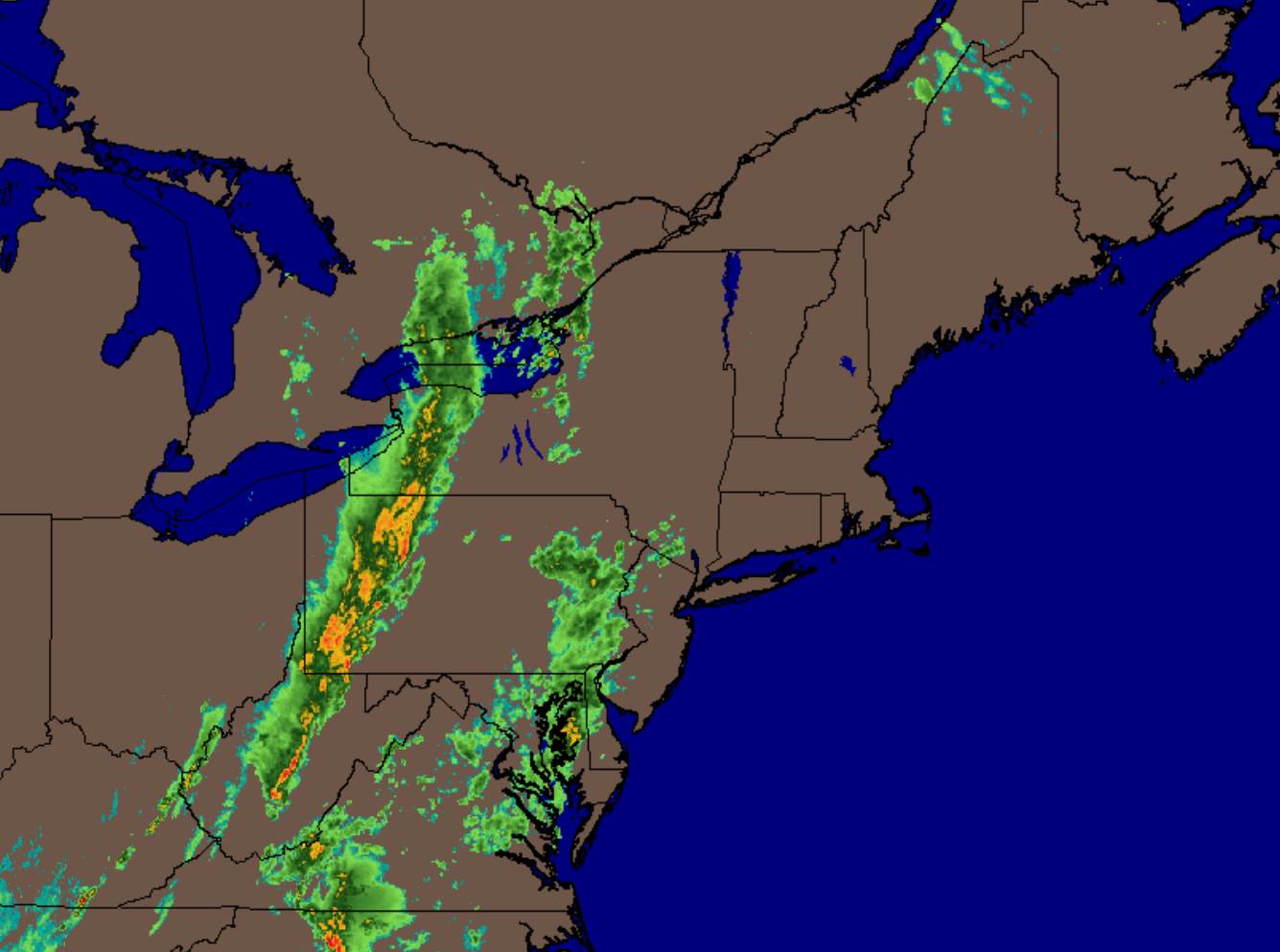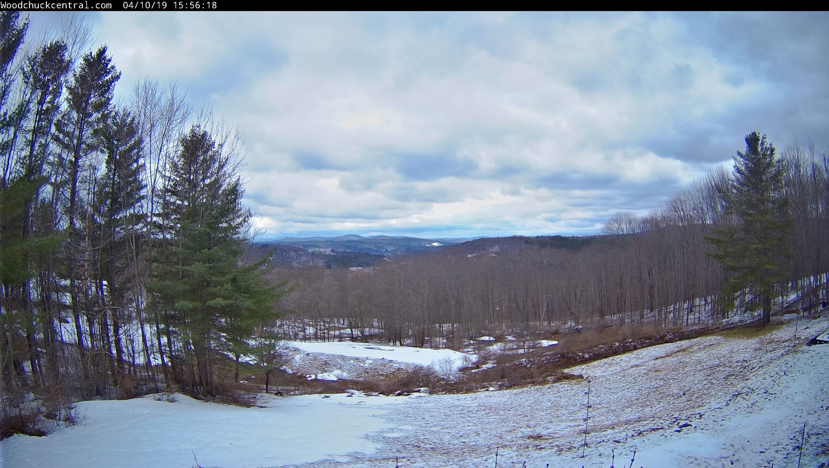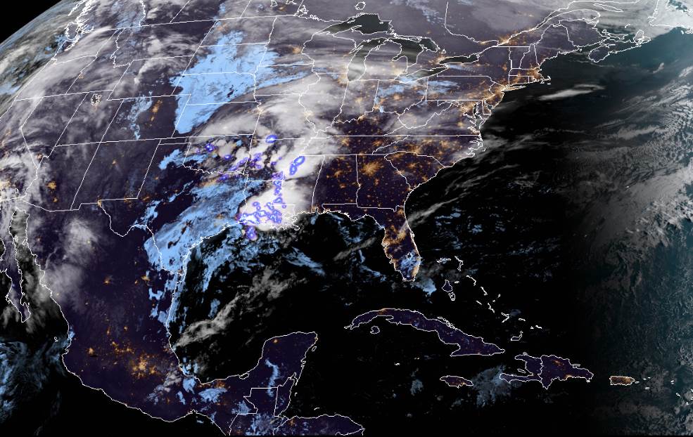
TODAY: A few mountain flurries northern Greens and Northeast Kingdom this morning. Otherwise lingering clouds…gradually gives way to intervals of late morning and afternoon sunshine. Blustery and chilly. A high mid 40s to around 50. Northwesterly winds 10 to 25 mph higher gusts.
TONIGHT: Mostly clear and frosty. A low mid 20s to low 30s. Light northwest winds.
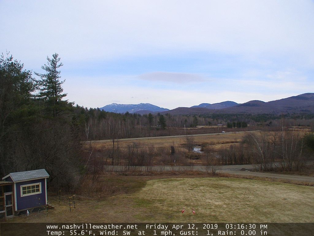
WEDNESDAY: Pick of the week with bright sunshine and blue skies. Still rather chilly. A high upper 40s to low 50s. Light north winds.
Looking further ahead…
WEDNESDAY NIGHT: Fair in the evening, then clouding up overnight. An early low ranging mid 20s to mid 30s.
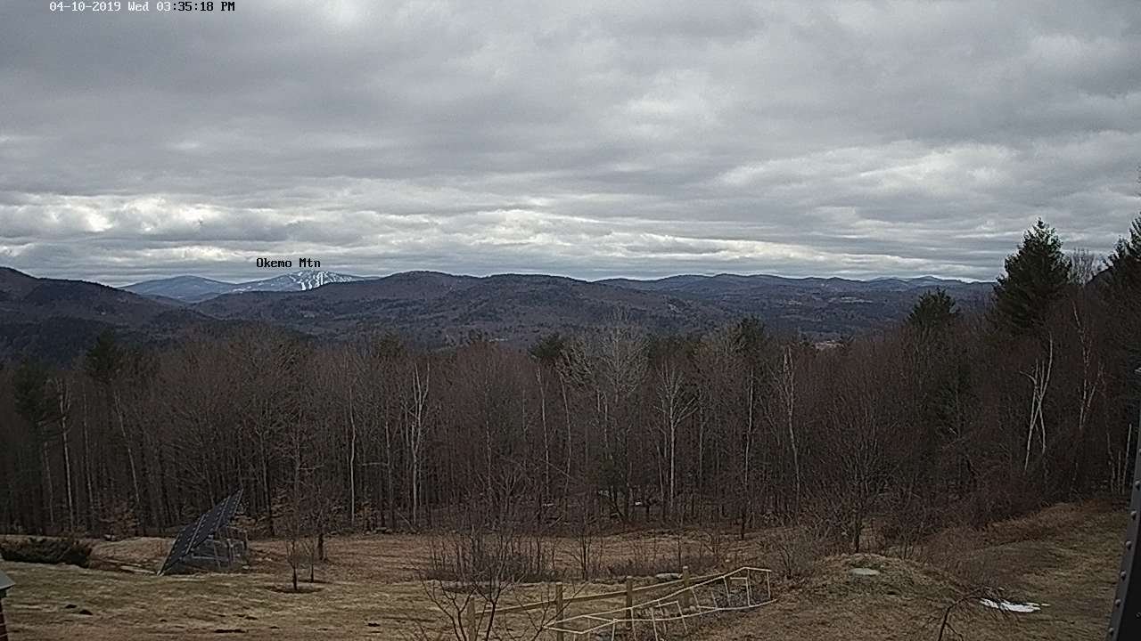
THURSDAY: Lots of clouds. A few passing rain showers. Remaining cool. A high in the mid 40s to lower 50s.
FRIDAY: Mostly cloudy. Chance for a brief shower. A low around 40 to 45. A high mid 60s to lower 70s.
SATURDAY: Mainly gray. Chance for showers or periods of rain. A low mid 40s to low 50s. A high low to mid 60s.
Average lows in the 30s. Average highs in the 50s.
RH/4-16-19[end]