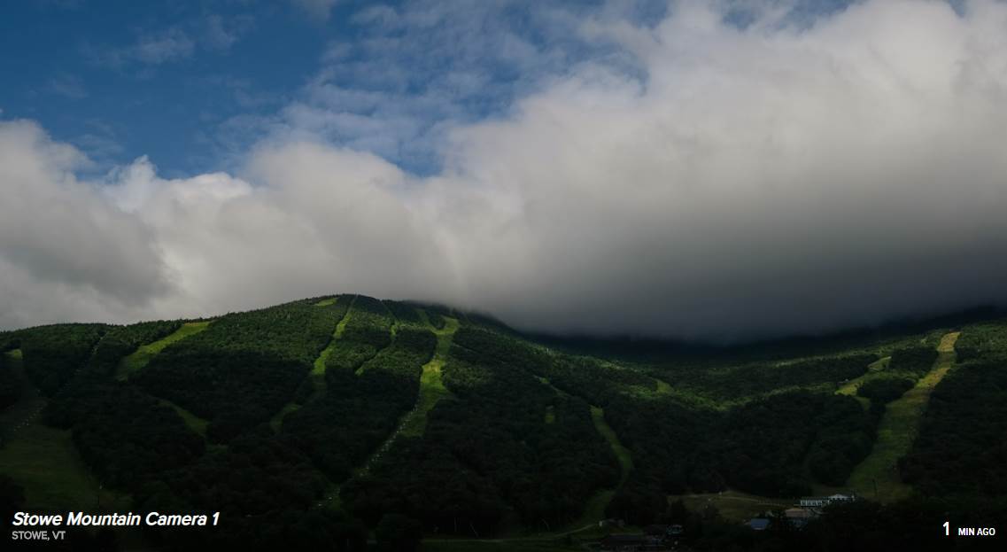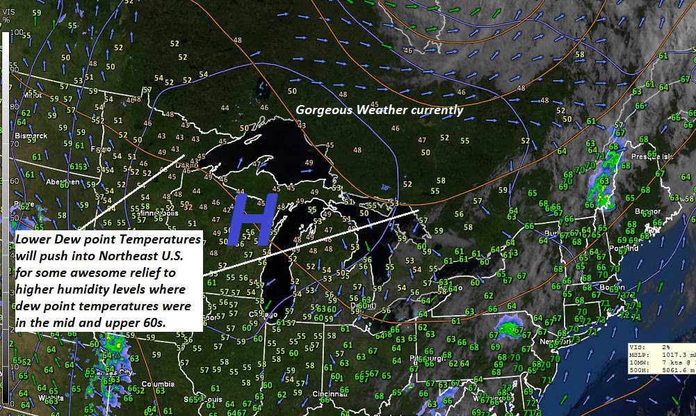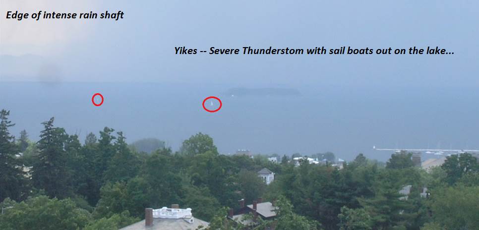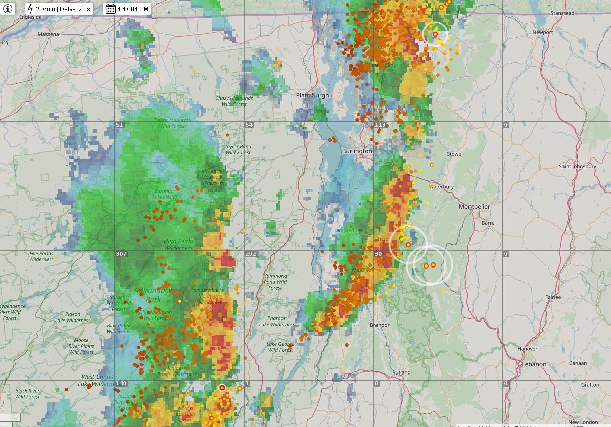
TONIGHT: A few leftover evening showers and thunderstorms exiting, otherwise partly cloudy and becoming less humid overnight. A low 55 to 60. Light northwest winds.
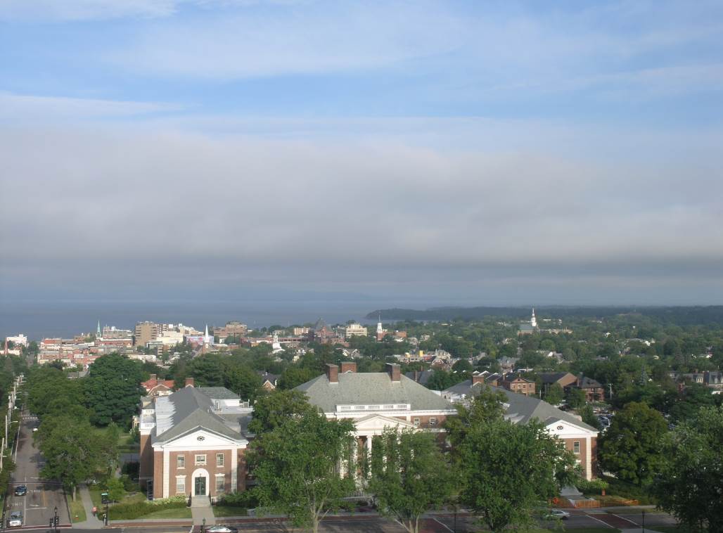
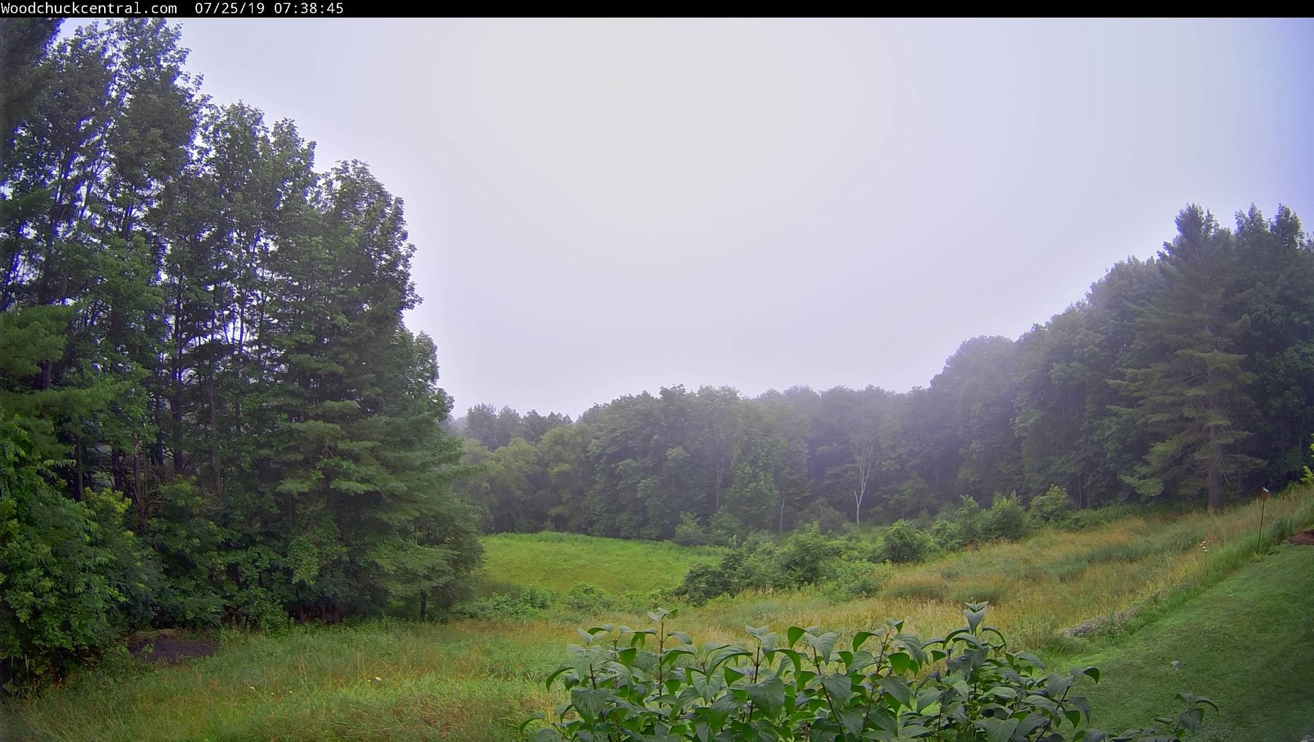
TOMORROW: Morning fog, then mostly sunny with a few afternoon clouds. Less humid. A high in the upper 70s to near 80. Northwest winds 10 mph.
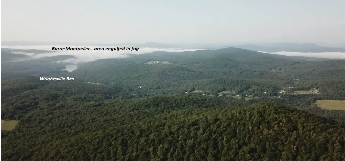
THURSDAY NIGHT: Clear starlit and pleasant. Patchy valley fog. A low 50 to 55. Little wind.
FRIDAY: Pick of the week. Mostly sunny after morning valley fog. Comfortable and pleasant. A high 80 to 85. Light southwest winds.
Looking further ahead…
FRIDAY NIGHT: Clear & starlit skies. A low 50 to 55.
SATURDAY: Mostly sunny. A few more clouds far northern areas late with chance for an evening shower or thunderstorm. More muggy in the afternoon with a high near 85.
SUNDAY: Mixed clouds and sun cooler. Isolated showers or thunderstorms far southern areas. A low 55 to 60. A high in the mid 70s.
MONDAY: Sunshine and blue skies after morning fog. Morning low 55 to 60. A high in the low 80s.
Average lows mid 50s to low 60s. Average highs mid 70s to low 80s.
RH/7-31-19[end]