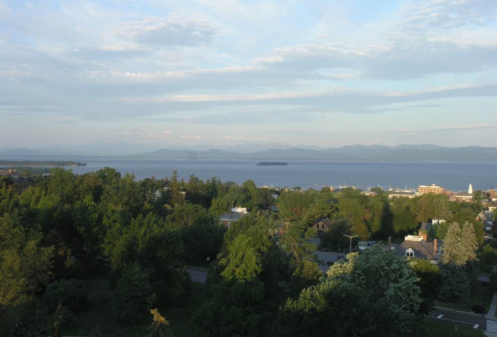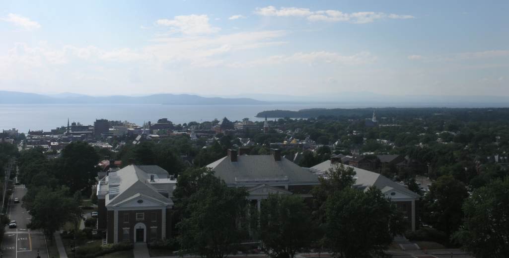
TONIGHT: Scattered clouds early…then clearing and not so humid. Patchy valley fog. A low 55 to 60. Light northeast winds.
TOMORROW: Pick of the week. Morning sunshine then few more afternoon clouds. Comfortable but cool. A high near 75. Northwest winds 10 mph.
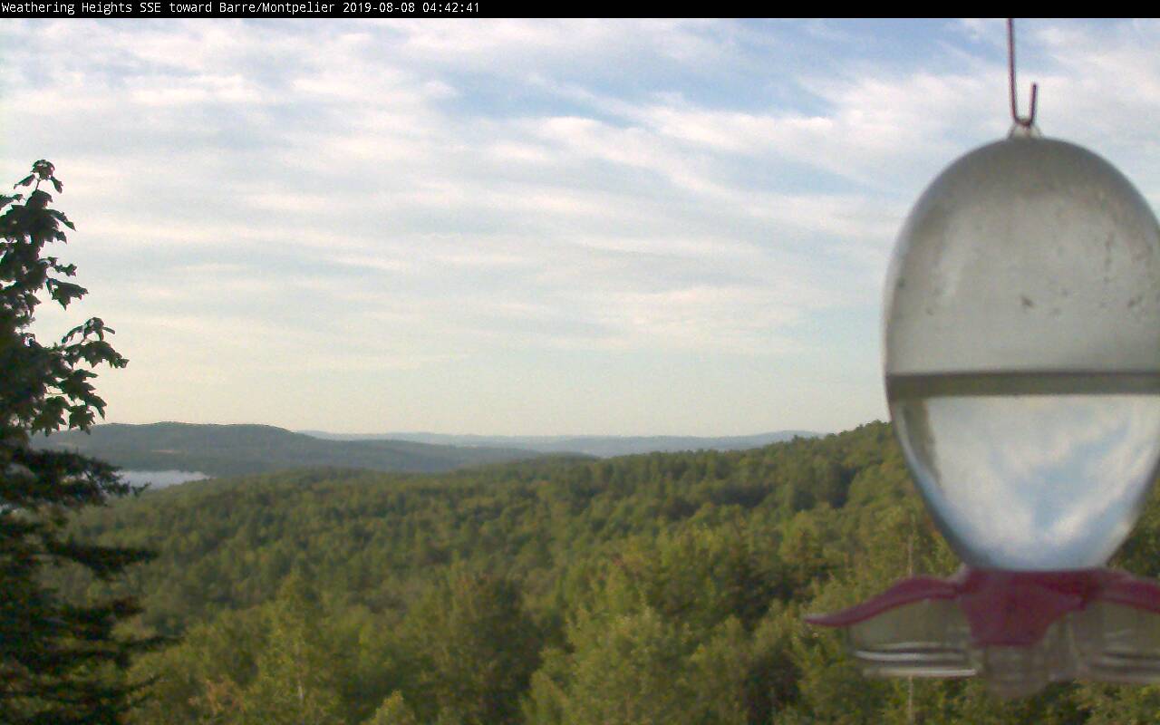
WEDNESDAY NIGHT: Mostly clear with patchy valley fog. A low upper 40s to around 50. Light north wind.
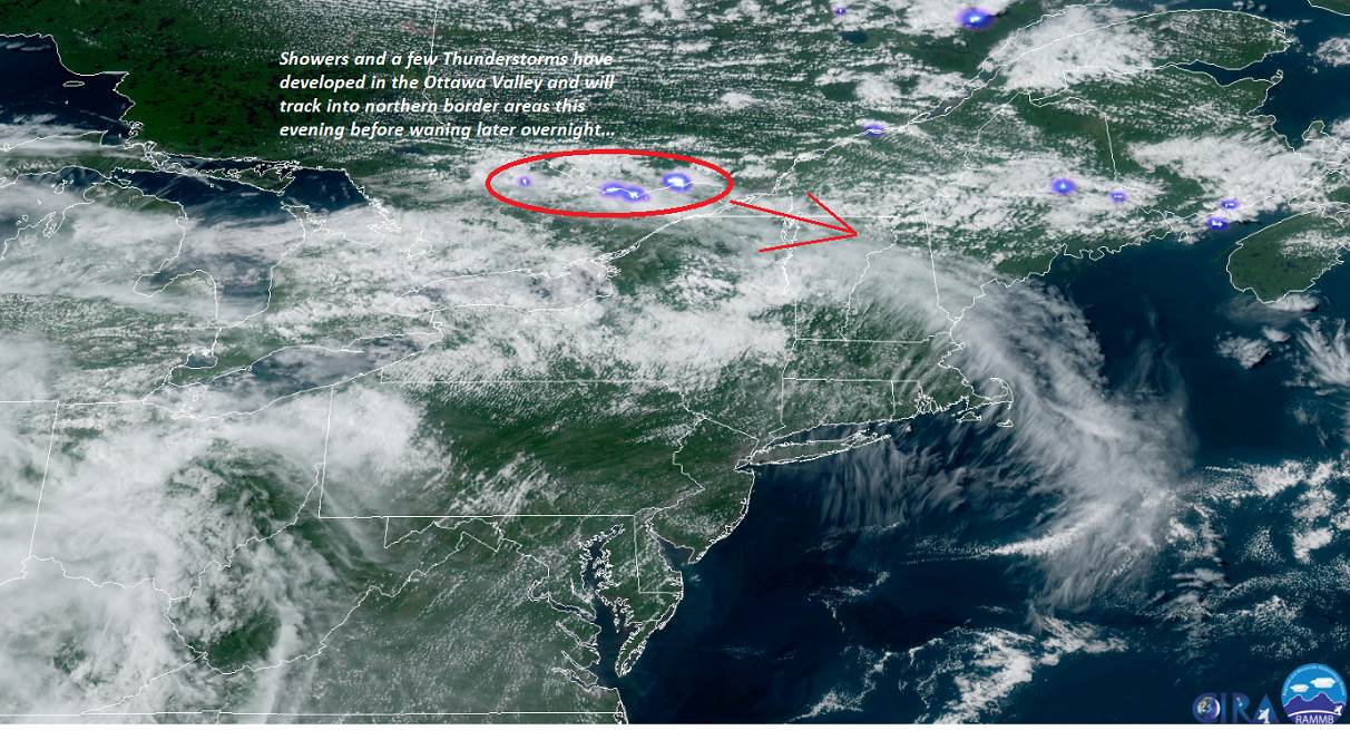
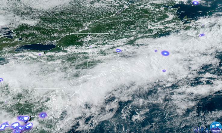
THURSDAY: Morning sunshine gives way to more afternoon clouds. Good chance for showers & isolated thunderstorms developing mid to late afternoon. Turning muggier. A high in the mid to upper 70s. Light northeast winds.
Looking further ahead…
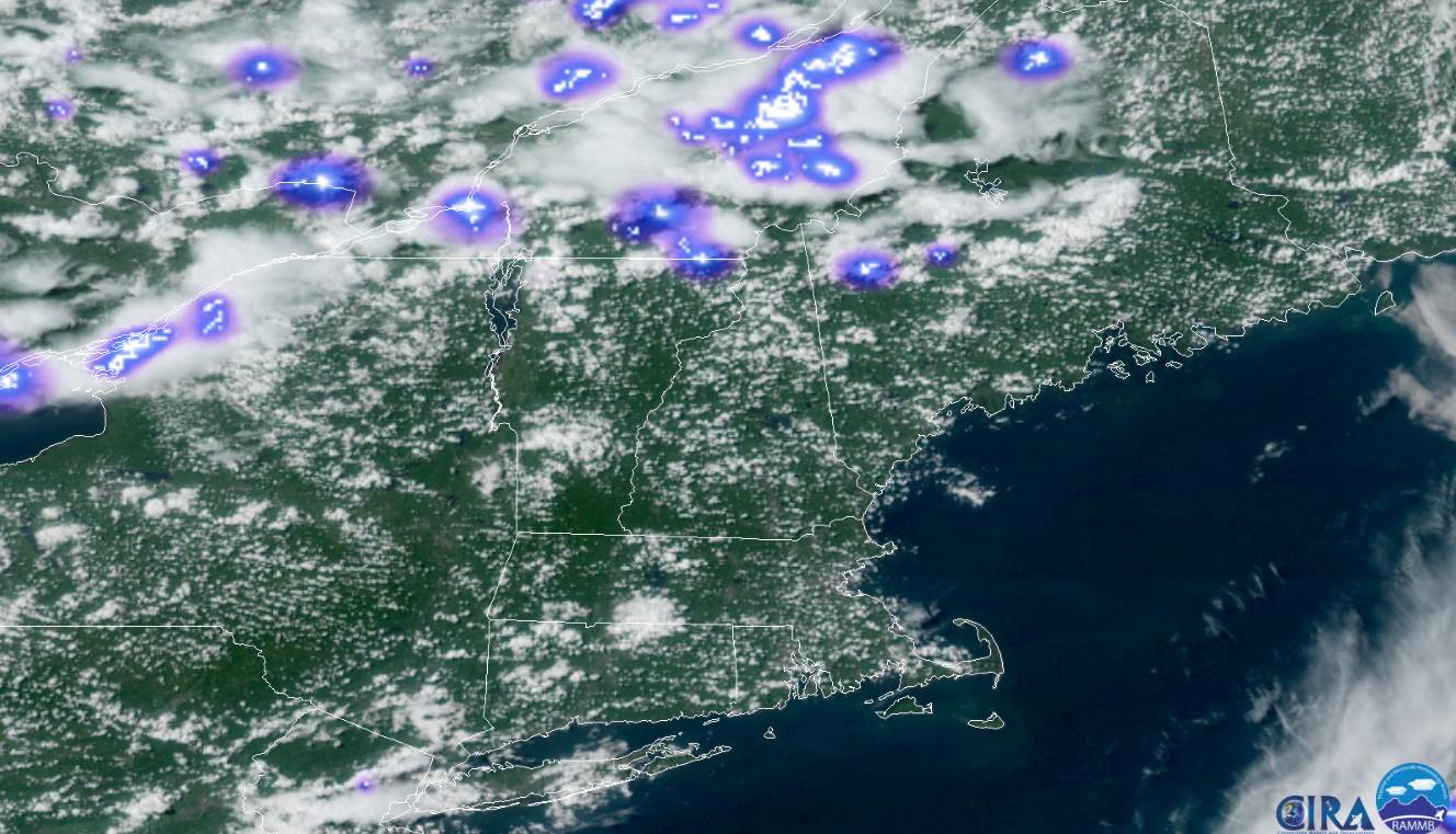
THURSDAY NIGHT: Good chance for showers, possibly a thunderstorm. Otherwise mostly cloudy. A low 55 to 60.
FRIDAY: Considerable cloudiness with an occasional light shower. A high near 75.
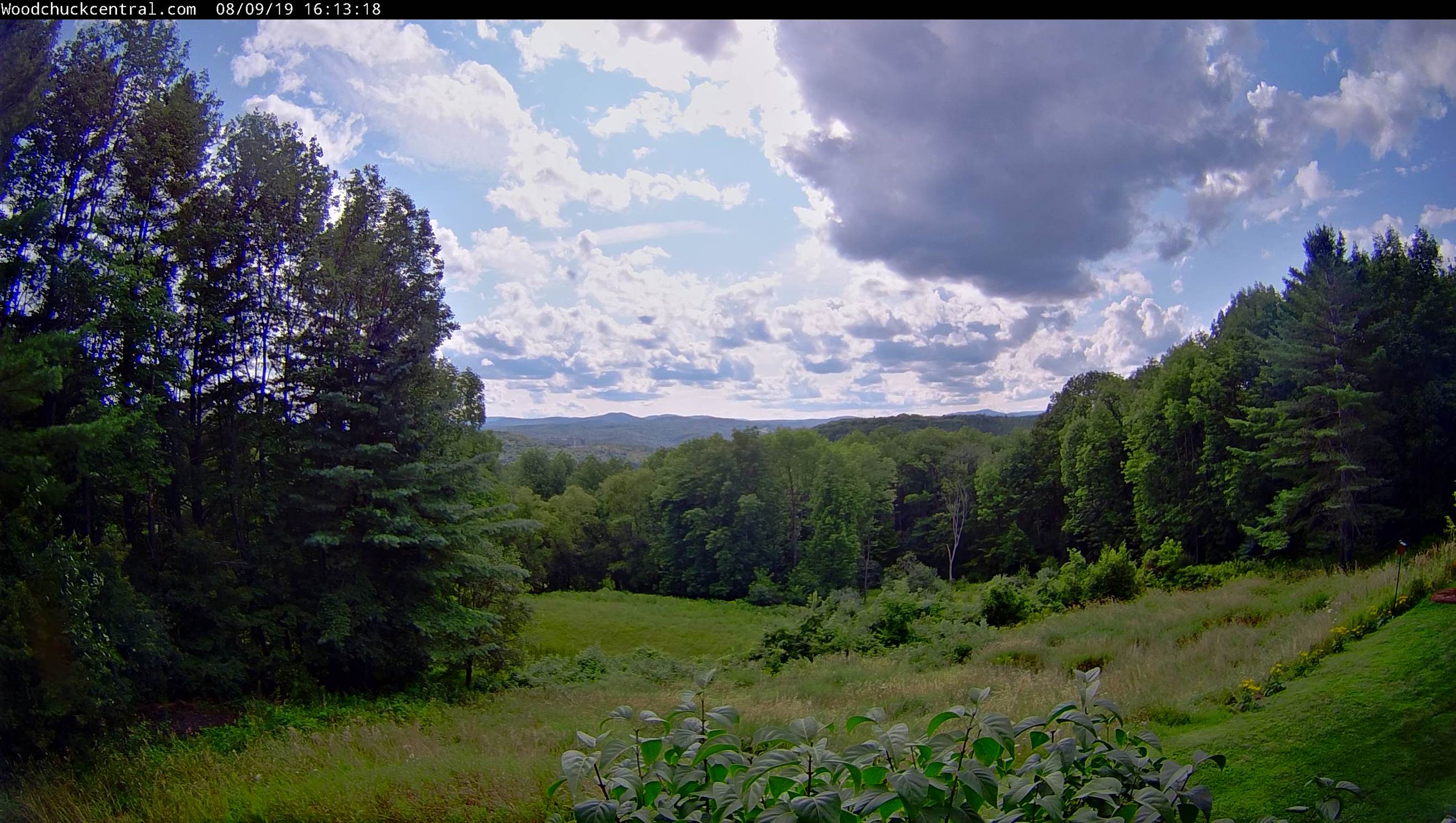
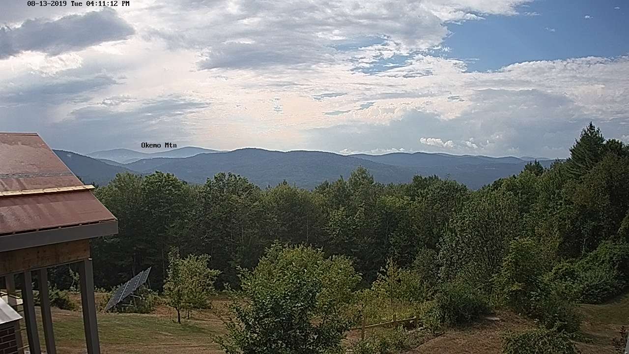
SATURDAY: Partly sunny. Chance for an afternoon shower or thunderstorm. A low 50 to 55. A high 75 to 80.
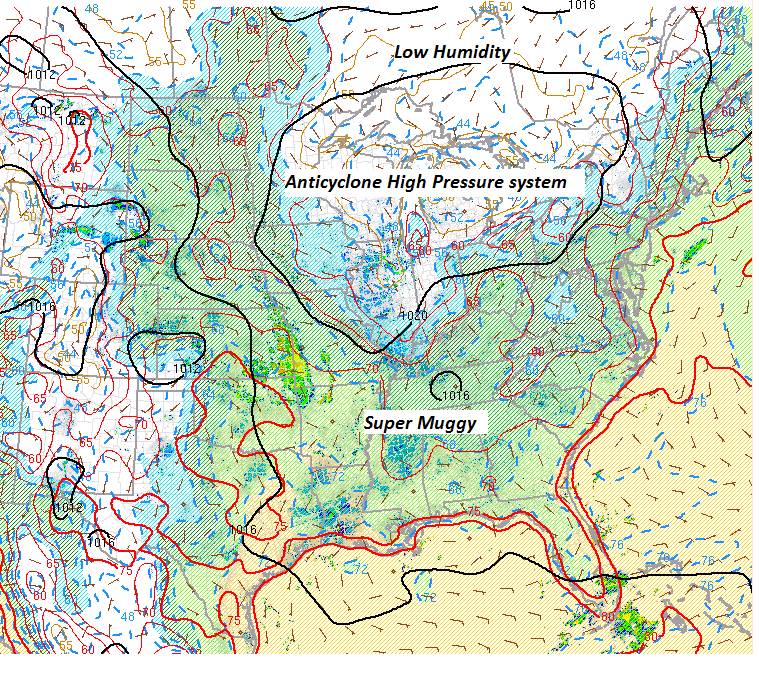
SUNDAY: Partly to mostly cloudy and sultry. Chance for showers and thunderstorms, some could be heavy. A low 65 to 70. A high in the low 80s.
Average lows ranging through the 50s. Average highs 75 to near 80.
RH/8-13-19[end]