Updated Tuesday Morning Forecast — August 27th, 2019

TODAY: Lots of sunshine, with a few high clouds. A high around 75. South breeze 10 mph.

TONIGHT: Mostly fair with high clouds. Patchy valley fog. A low in the mid 50s. Light southeast winds.

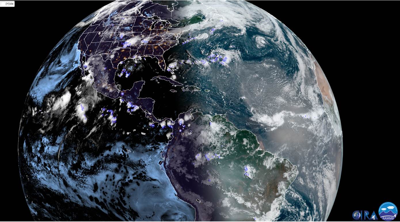
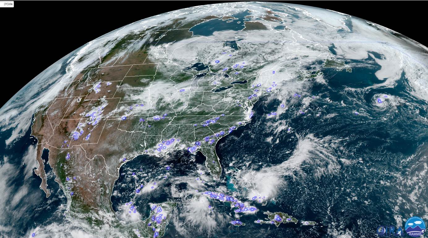
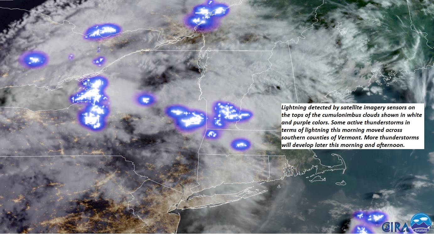
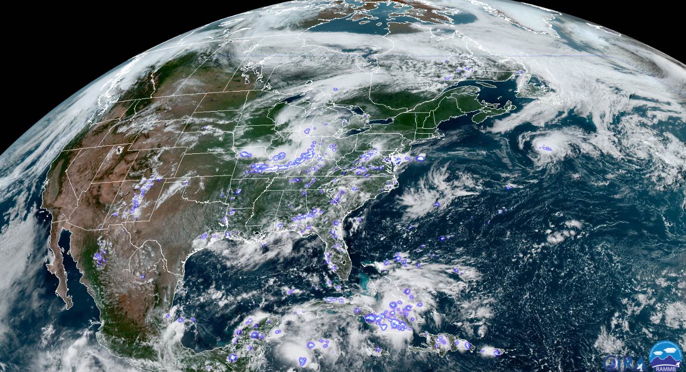
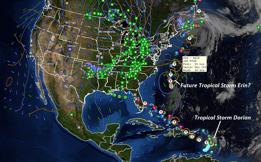
WEDNESDAY: Brief morning sun, then lots of clouds. A rising chance for showers later in the afternoon, maybe a rumble of thunder. A high 75 to 80. South breeze 10 to 20 mph.

Looking further ahead…

WEDNESDAY NIGHT: Cloudy. Showers likely, some briefly heavy with possible rumble of thunder. Areas of fog. A low near 55.

THURSDAY: Patchy morning fog then partial sunshine. A high in the low to mid 70s.

FRIDAY: Mostly sunny with more afternoon clouds. Chance for a few showers toward evening northern areas. A low 50 to 55. A high in the mid 70s.

SATURDAY: Mixed sunshine and clouds. A little cooler. A low in the mid 50s. A high around 70.

SUNDAY: Partly to mostly cloudy. Chance for showers late. A low 50 to 55. A high near 70.

Average lows in the upper 40s to mid 50s. Average highs mid 70s.

RH/8-27-19[end]

Updated Monday Evening Forecast — august 26th, 2019

TONIGHT: Clear. A few high clouds after midnight. Patchy valley fog. A low upper 40s to around 50. Light southeast winds.

TOMORROW: Lots of sunshine, filtered by high clouds. A high around 75. South breeze 10 mph.

TUESDAY NIGHT: Mostly fair with lots of high clouds. Patchy valley fog. A low in the mid 50s. Light southeast winds.

WEDNESDAY: Mainly cloudy. A rising chance for showers later in the afternoon, maybe a rumble of thunder. A high 75 to 80. South winds 10 mph.

Looking further ahead…

WEDNESDAY NIGHT: Cloudy with a good chance for lingering showers and areas of fog. A low near 55.

THURSDAY: Patchy morning fog then partial sunshine. A high near 75.

FRIDAY: Mostly sunny with more afternoon clouds. Chance for showers toward evening. A low 50 to 55. A high in the mid to upper 70s.

SATURDAY: Morning clouds with a leftover showers exiting, the becoming partly to mostly sunny. A little cooler. A low in the mid 50s. A high in the lower 70s.

Average lows in the upper 40s to mid 50s. Average highs mid 70s.

RH/8-26-19[end]

Updated Monday Morning Forecast — August 26th, 2019

TODAY: A beauty with mostly sunny skies. A high in the mid to upper 70s. Light east winds.

TONIGHT: Clear with a few high clouds after midnight. Patchy valley fog. A low 45 to 50. Light southeast winds.

TUESDAY: Filtered sunshine through some high cloudiness after morning fog. A high around 75. South breeze 10 mph.

Looking further ahead…

TUESDAY NIGHT: Mostly fair with scattered clouds. A low in the mid 50s.

WEDNESDAY: Increasing and thickening afternoon clouds. A rising chance for showers in the afternoon. A high 75 to 80.

THURSDAY: Patchy morning fog then partial sunshine. Chance for a brief mountain sprinkle. A low near 55. A high in the mid to upper 70s.

FRIDAY: Mostly sunny with more afternoon clouds. Slight chance for an afternoon shower. A low 50 to 55. A high in the mid to upper 70s.

SATURDAY: Mixed sun and clouds. A low in the mid 50s. A high 70 to 75.

Average lows in the upper 40s to mid 50s. Average highs mid 70s.

RH/8-26-19[end]

Updated Friday Evening Forecast — August 23rd, 2019

TONIGHT: A few evening clouds then mostly clear. Patchy valley fog. A low 45 to 50. Light northwest winds.

TOMORROW: Morning sun after isolated fog burns off, then partly cloudy. A little cooler. A high in the upper 60s to around 70. Light north winds.

SATURDAY NIGHT: Mostly clear. Patchy valley fog. A low 50 to 55. Light east winds.

SUNDAY: Morning sunshine then partly to mostly cloudy. A high pushing to near 75. Light east winds.

Looking further ahead…

SUNDAY NIGHT: Mostly clear with patchy valley fog. A low 45 to 50.

MONDAY: Morning sunshine, then a few more clouds. A high 70 to 75.

TUESDAY: Partly to mostly sunny. A low near 50. A high in the low 70s.

WEDNESDAY: Morning sun then increasing and thickening afternoon clouds. A rising chance for afternoon late day showers & thunderstorms. A low in the mid 50s. A high around 70.

Average lows in the 50s. Average highs mid to upper 70s.

RH/8-23-19[end]

Updated Friday morning Forecast — August 23rd, 2019

TODAY: Morning fog, then mixed sun and cloud. Cooler and less humid. A high near 70. Northwest breeze 10 mph.

TONIGHT: Mostly clear. Patchy valley fog. A low 45 to 50. Light northwest winds.

SATURDAY: Morning sun after isolated fog burns off, then partly cloudy. A little cooler. A high in the upper 60s to around 70. North winds 10 mph.

Looking further ahead…

SATURDAY NIGHT: Mostly clear. Patchy valley fog. A low 50 to 55.

SUNDAY: Morning sunshine then partly to mostly cloudy. A high pushing to near 75.

MONDAY: Morning sunshine, then a few more clouds. A low 45 to 50. A high 70 to 75.

TUESDAY: Partly to mostly sunny. A low near 50. A high in the low 70s.

WEDNESDAY: Morning sun then increasing and thickening afternoon clouds. A rising chance for afternoon late day showers & thunderstorms. A low in the mid 50s. A high around 70.

Average lows in the 50s. Average highs mid to upper 70s.

RH/8-23-19[end]

Updated Thursday Evening Forecast — August 22nd, 2019

TONIGHT: Scattered clouds. A low 50 to 55. Patchy valley fog. Light northwest winds.

TOMORROW: Morning fog, then mixed sun and cloud. Cooler and less humid. A high near 70. Northwest breeze 10 mph.

FRIDAY NIGHT: Mostly clear. Patchy valley fog. A low 45 to 50. Light northwest winds.

SATURDAY: Morning sun after fog burns off, then partly cloudy. Cooler. A high in the upper 60s to around 70. North winds 10 mph.

Looking further ahead…

SATURDAY NIGHT: Mostly clear. Patchy valley fog. A low 50 to 55.

SUNDAY: Morning sunshine then partly to mostly cloudy. A high 70 to 75.

MONDAY: Morning sunshine then a few more clouds. A low 45 to 40. A high 70 to 75.

TUESDAY: Partly to mostly sunny. A low near 50. A high in the low 70s.

WEDNESDAY: Morning sun then increasing and thickening afternoon clouds. A low in the mid 50s. A high around 70.

Average lows in the 50s. Average highs mid to upper 70s.

RH/8-21-19[end]

Updated Thursday Morning forecast — August 22nd, 2019

TODAY: A good chance for morning showers with areas of fog. Otherwise increasing periods of sun away from the mountains this afternoon and less humid. A high 75 to 80. Winds becoming westerly 10 to 15 mph.

TONIGHT: Scattered clouds. A low around 55. Patchy valley fog. Light northwest winds.

FRIDAY: Morning fog, then mixed sun and cloud. Cooler and less humid. A high in the low 70s. Northwest breeze 10 mph.

Looking further ahead…

FRIDAY NIGHT: Mostly clear. Patchy valley fog. A low upper 40s to near 50.

SATURDAY: Morning sun after fog burns off, then cloudy periods in the afternoon. Cooler. A high in the upper 60s to around 70.

SUNDAY: Morning sunshine then partly to mostly cloudy. A low around 50. A high in the lower 70s.

MONDAY: Morning sunshine mixing with more clouds in the afternoon. A low in the upper 40s. A high 70 to 75.

TUESDAY: Sunshine mixed with a few cloudy period. A low near 50. A high 70 to 75.

Average lows in the 50s. Average highs mid to upper 70s.

RH/8-21-19[end]

Updated Wednesday Evening Forecast — August 21st, 2019

TONIGHT: A few widely scattered leftover showers with a rumble of thunder possible early, then mostly clear. A low in the lower 60s. Light southwest winds.

TOMORROW: A chance for morning showers. Maybe a rumble of thunder, otherwise increasing periods of sunshine and less humid. A high 75 to 80. Winds becoming westerly 10 to 15 mph.

THURSDAY NIGHT: Partly cloudy. A low around 55. Light northwest winds.

FRIDAY: Mixed sun and cloud. Cooler and less humid. A high in the low 70s. Northwest breeze 10 mph.

Looking further ahead…

FRIDAY NIGHT: Mostly clear. A low upper 40s to near 50.

SATURDAY: Morning sun then partly to mostly cloudy in the afternoon. A bit cool. A high in the upper 60s to around 70.

SUNDAY: Morning sunshine then partly to mostly cloudy. Slight chance for a shower or sprinkle. Scattered passing sprinkles possible. A low around 50. A high 70 to 75.

MONDAY: Morning sunshine mixing with more clouds in the afternoon. A low 50 to 55. A high 70 to 75.

Average lows in the 50s. Average highs mid to upper 70s.

RH/8-21-19[end]

Updated Wednesday Morning forecast — August 21st, 2019

TODAY: Clouds with few intervals of sun and increasingly more muggy. Scattered showers developing this morning. Showers, most numerous this afternoon with wisely scattered thunderstorms…possibly strong and locally heavy especially central and southern areas. A high mid to upper 70s. Light southwest winds.

TONIGHT: Partly cloudy. A few leftover showers and isolated thunderstorms. A low around 65. South winds 10 mph. Light south winds.

THURSDAY: A chance for morning showers. Maybe a rumble of thunder, otherwise increasing periods of sunshine in the afternoon. Less humid later in the day. A high in the mid to upper 70s. Winds becoming westerly 10 to 15 mph.

Looking further ahead…

THURSDAY NIGHT: Partly cloudy. A low a low around 55.

FRIDAY: Clouds mixing with periods of sunshine. Cooler and less humid. A high in the low 70s.

SATURDAY: Morning sun then afternoon clouds. A bit cool. A low upper 40s to near 50. A high in the upper 60s to around 70.

SUNDAY: Morning sunshine then partly cloudy. Scattered passing sprinkles possible. A low around 50. A high 70 to 75.

MONDAY: Morning sunshine mixing with more clouds in the afternoon. A low 50 to 55. A high 70 to 75.

Average lows in the 50s. Average highs mid to upper 70s.

RH/8-21-19[end]

Updated Tuesday Evening Forecast — August 20th, 2019

TONIGHT: Mostly clear, clouding up toward daybreak. A low upper 50s to near 60. Light south winds.

TOMORROW: Clouds with intervals of sun and increasingly more muggy. Scattered showers and thunderstorms, some possibly strong and locally heavy especially southern areas. A high mid 70s to around 80. Light southwest winds.

WEDNESDAY NIGHT: Partly cloudy. A few leftover showers and isolated thunderstorms. A low around 65. South winds 10 mph. Light south winds.

THURSDAY: A chance for morning showers. Maybe a rumble of thunder, otherwise increasing periods of sunshine in the afternoon. Less humid later in the day. A high around 75. Winds becoming westerly 10 to 15 mph.

Looking further ahead…

THURSDAY NIGHT: Partly cloudy. A low a low around 55.

FRIDAY: Variable clouds with intervals of sun. Cooler and much less humid. A high around 70.

SATURDAY: Sun mixed with a few cloudy periods. A low around 50. A little bit cool. A high in the upper 60s to around 70.

SUNDAY: Partly to mostly sunny. A low around 50. A high near 75.

Average lows in the 50s. Average highs mid to upper 70s.

RH/8-20-19[end]