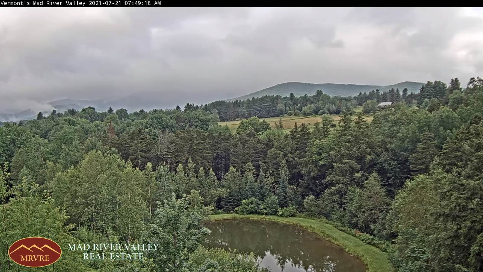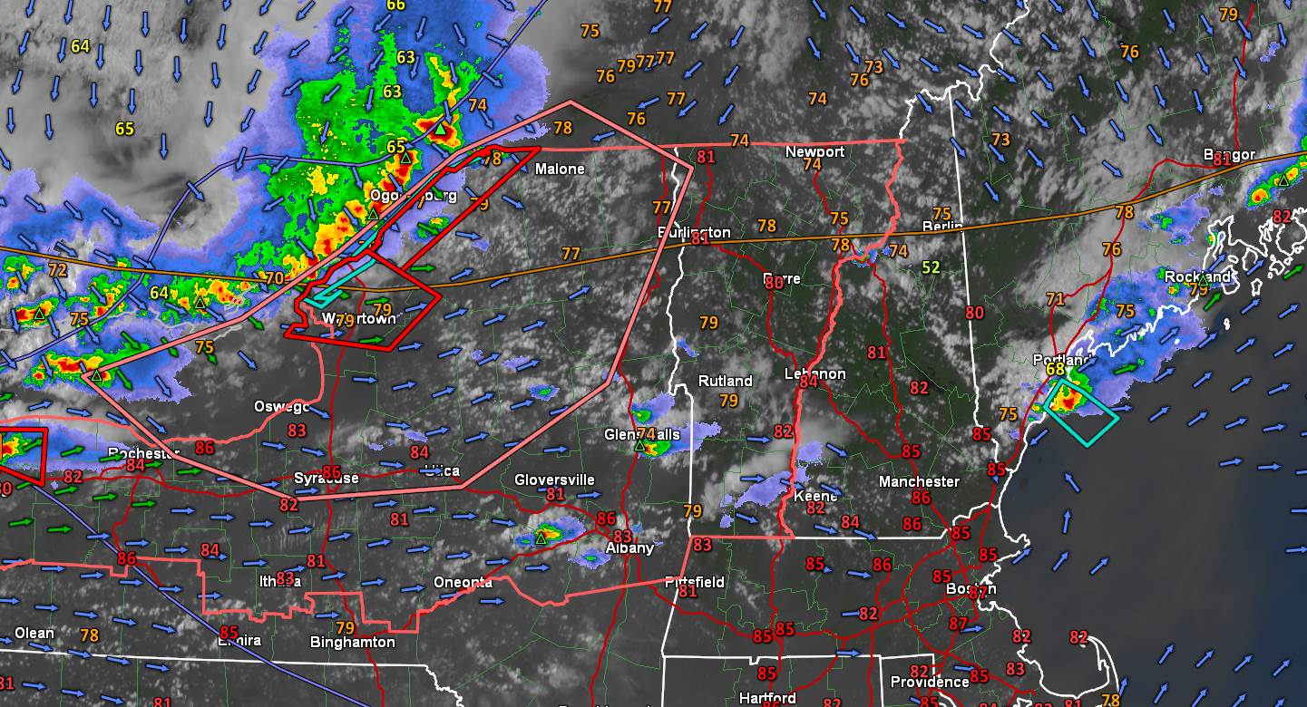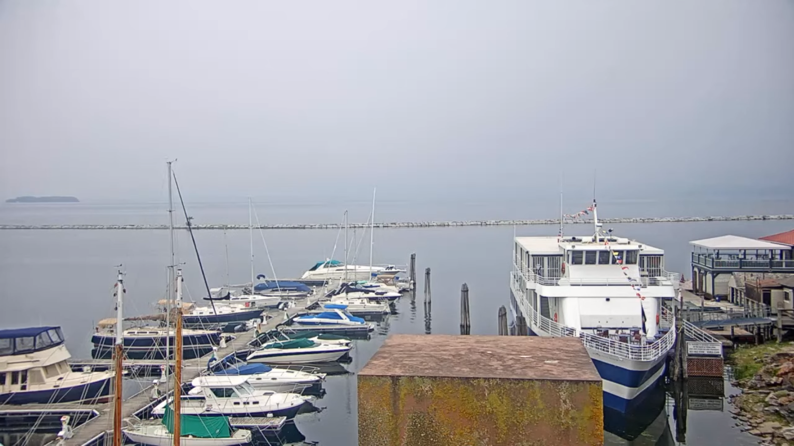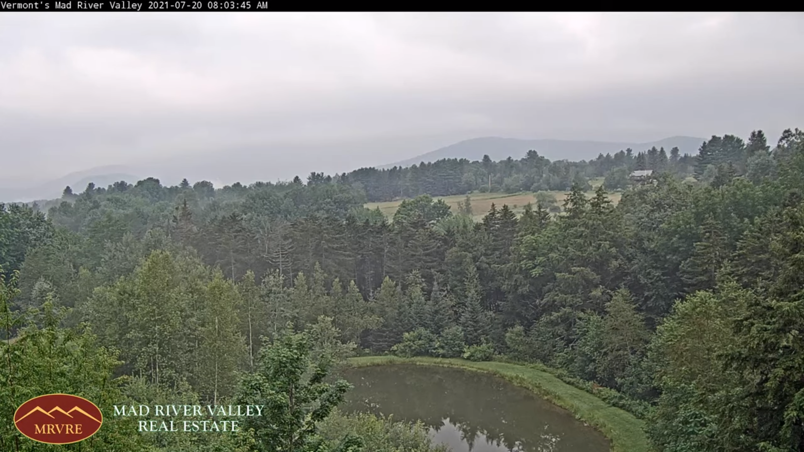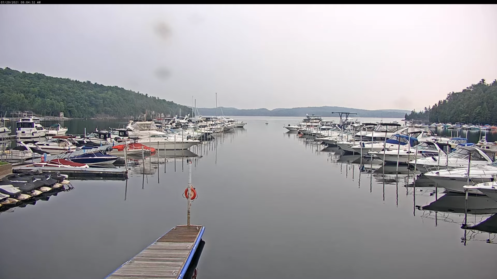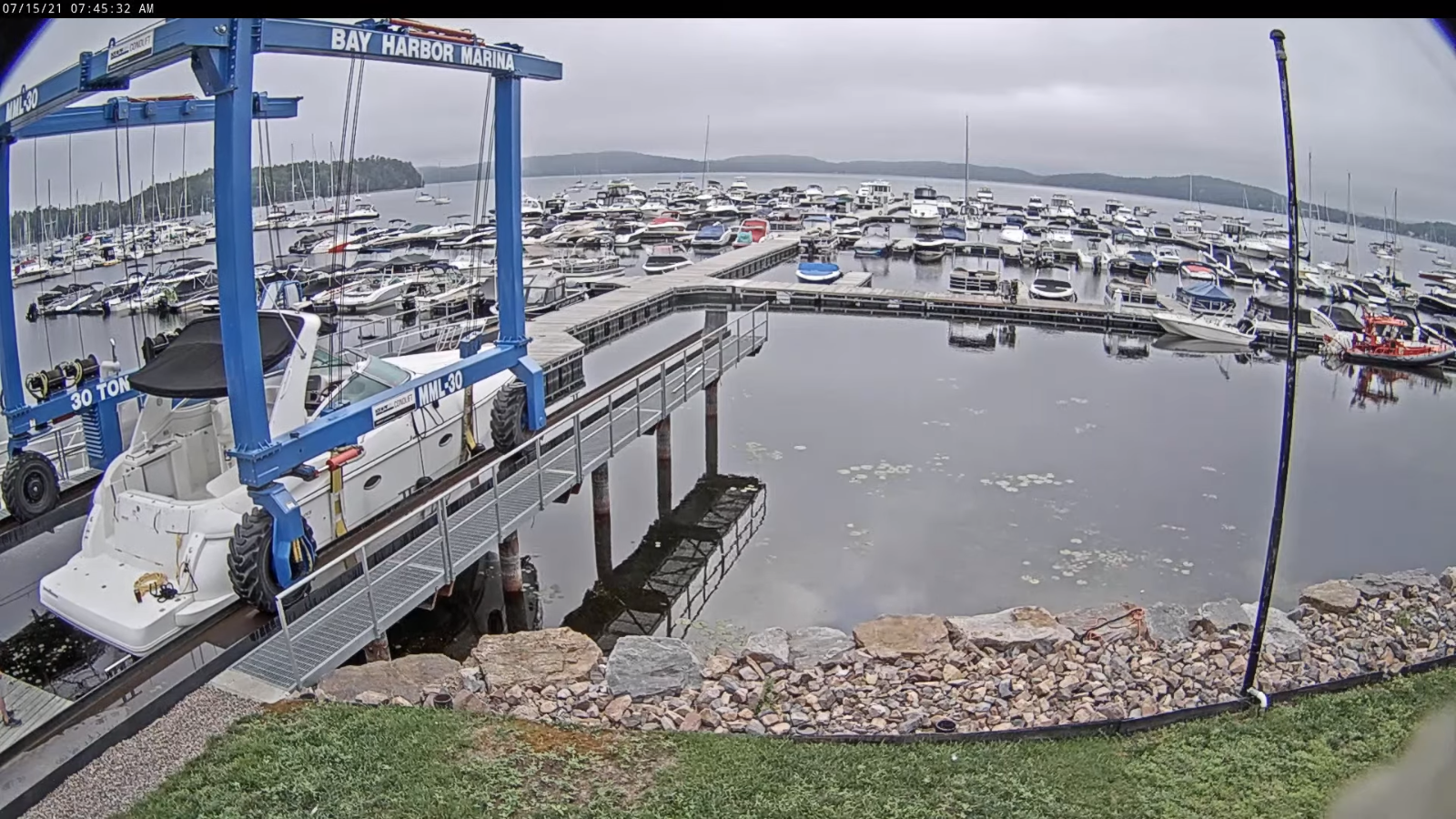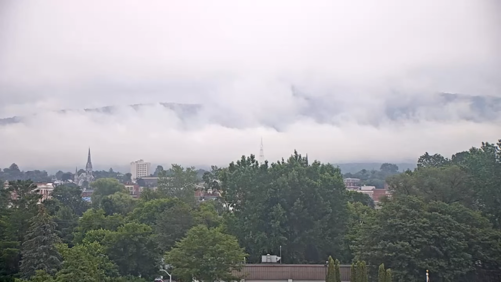
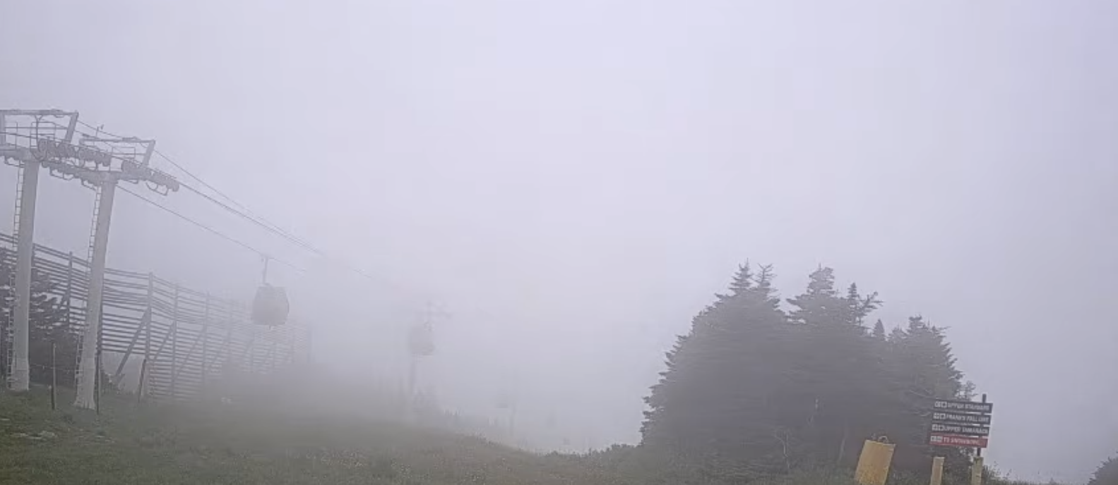
TONIGHT: A leftover early evening shower, then clearing skies. Considerable valley fog overnight. A low 50 to 55. Light northwest winds.
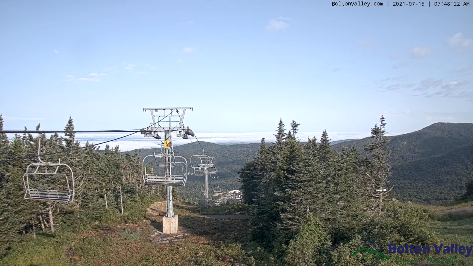
TOMORROW: Pick of the week. Morning fog burns off to partly to mostly sunny skies. A bit cool and at times breezy. A few sprinkles possible Northeast kingdom. A high near 70. Northwest breeze 10 mph.
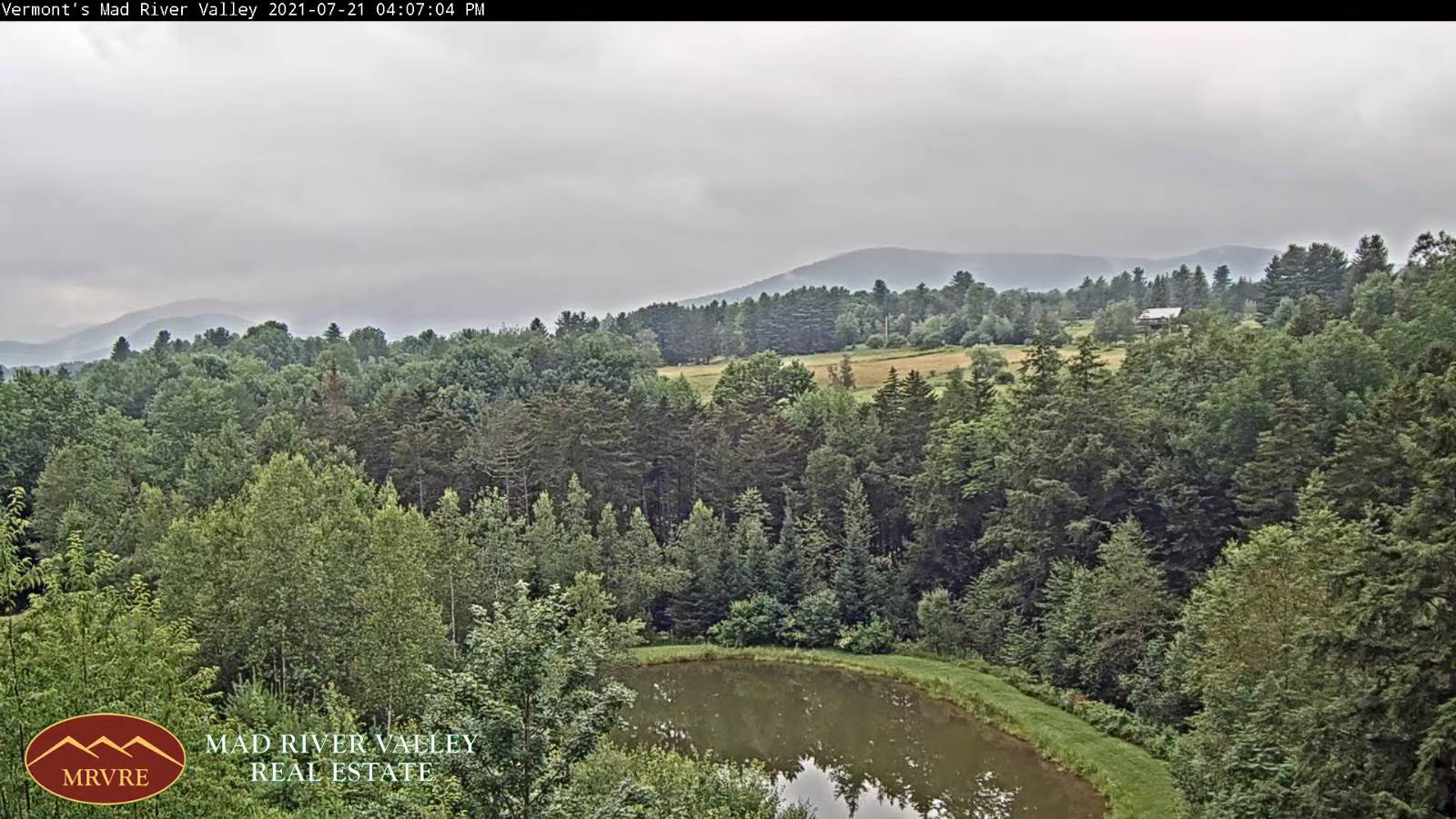
THURSDAY NIGHT: Partly cloudy isolated showers. Patchy valley fog.A low around 55. Light west winds.
FRIDAY: Morning fog burns off to partly sunny skies. Widely scattered mountain sprinkles or passing showers. A high in the low 70s. Light northwest winds.
Looking further ahead…
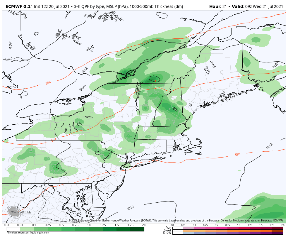
FRIDAY NIGHT: A couple evening showers otherwise partly cloudy. A low 50 to 55
SATURDAY: A beauty. Patchy valley fog early, then increasing high cloudiness. A high in the mid-70s.
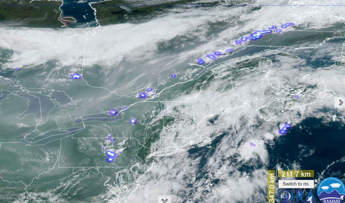
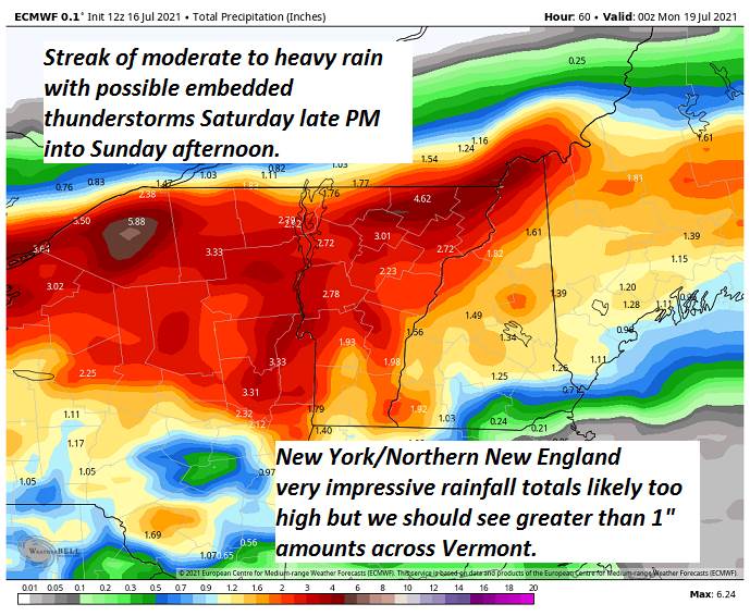
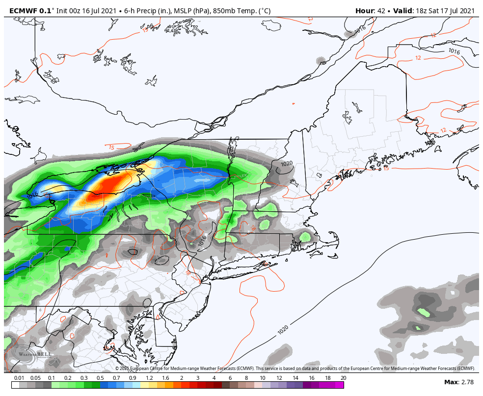
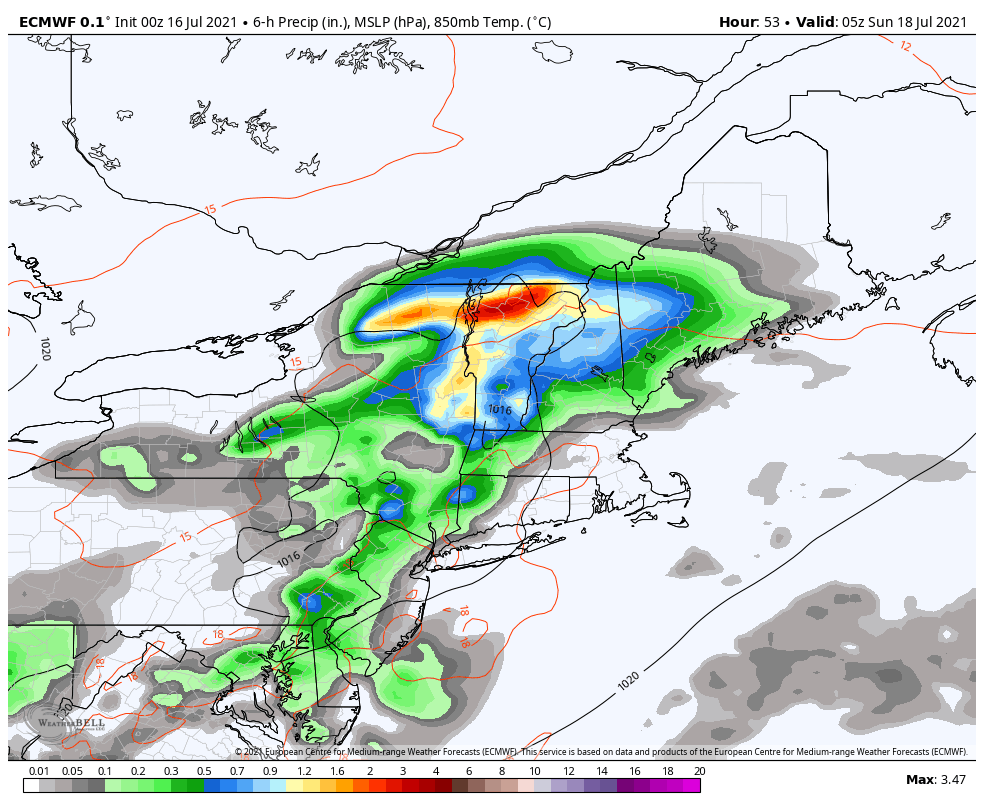
SUNDAY: Gray and cool. Chance for periods of rain maybe a thunderstorm. Becoming muggier. A low near 60. A high around 70.
MONDAY: Mixed clouds and sun. Humid with isolated showers. A low in the low 60s. A high near 80.
TUESDAY: Partly mostly sunny. A low near 60. A high upper 70s to near 80.
Average low mid-50s to low 60s. Average highs in the upper-70s to low 80s.
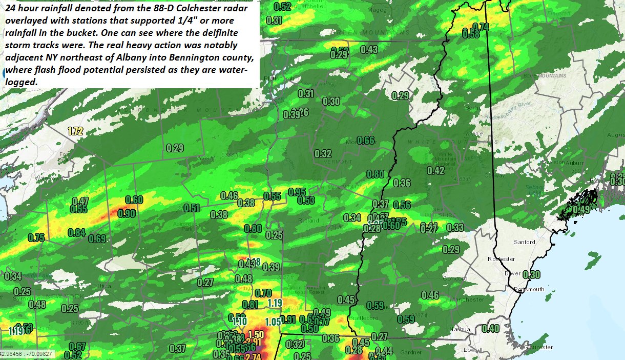
Meteorological summer peaks approx. July 22nd based off local climatology. Evening thunderstorms just one
RH/7-21forecast][end]