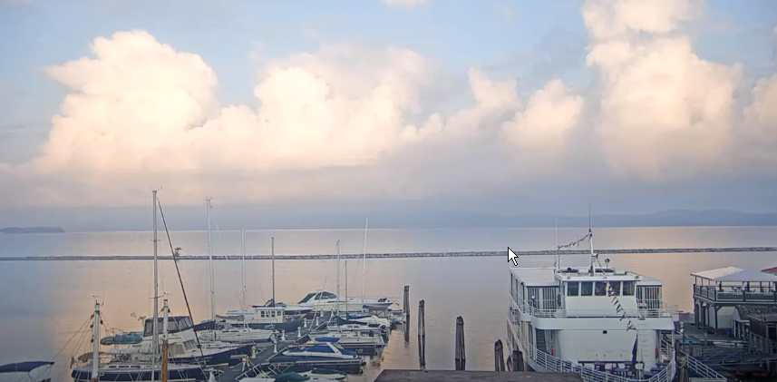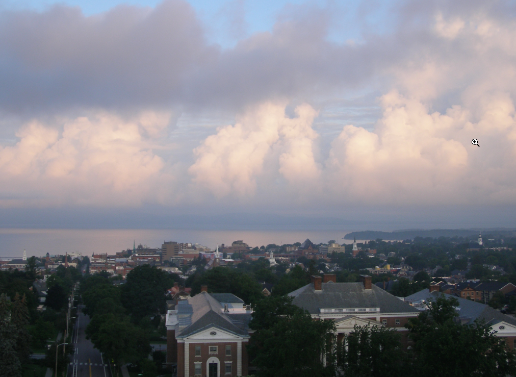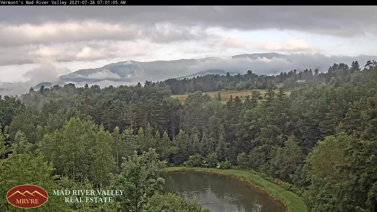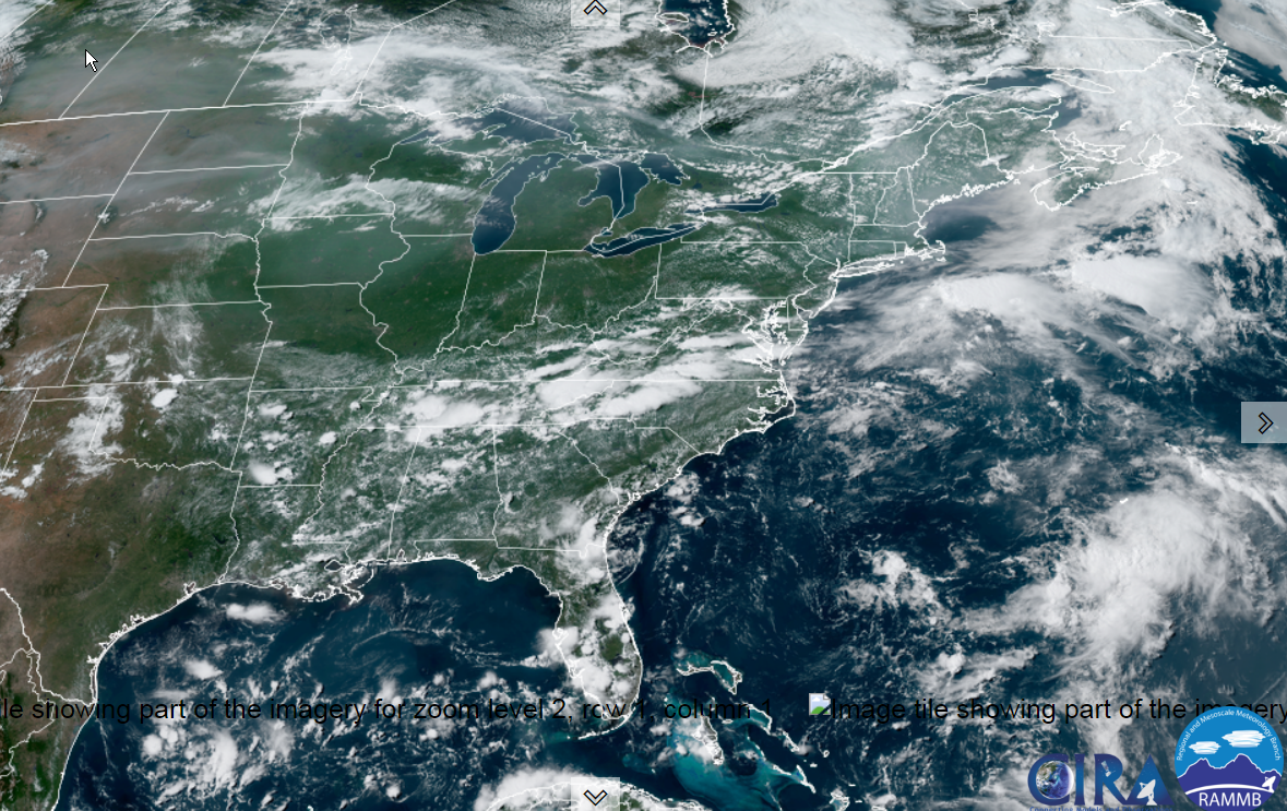
TODAY: Hints of morning sunshine then clouding up. Showers becoming likely by late afternoon. A high near 75.
South breeze 10 mph.
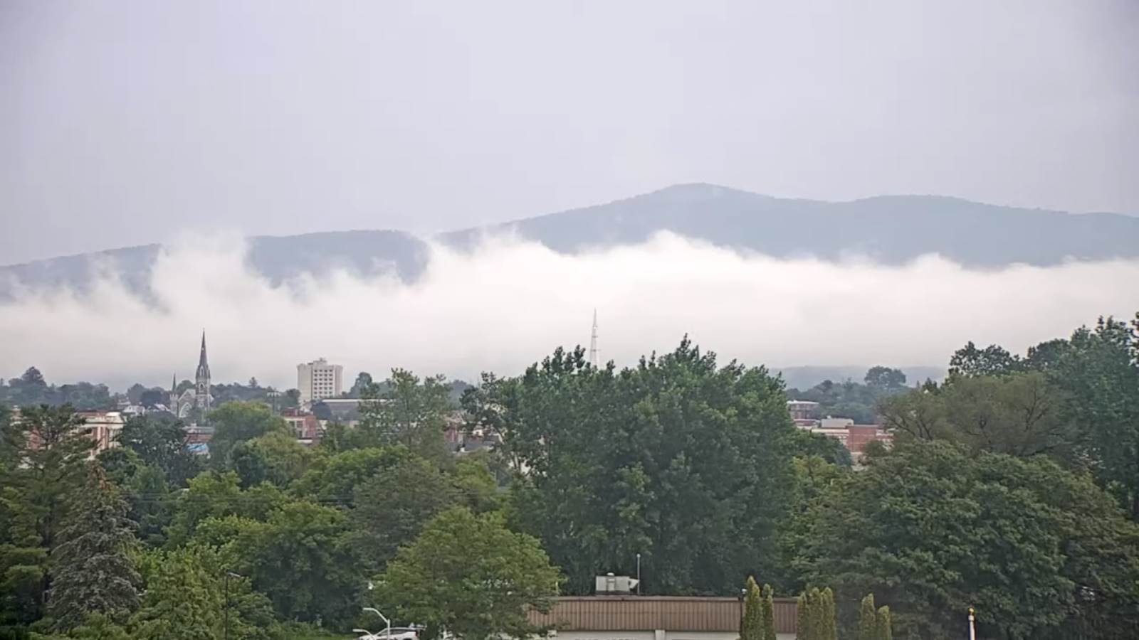
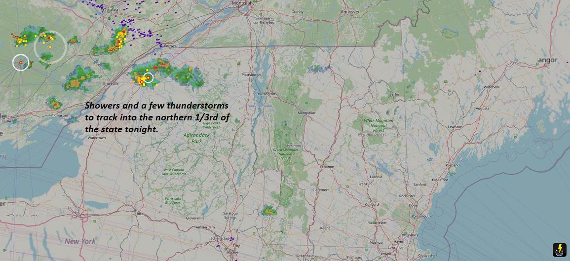
TONIGHT: Overcast & damp with areas of fog. Rain or frequent showers likely. A few rumbles of thunder after midnight possible. A low ranging thru the 50s. Light southeasterly winds.
FRIDAY: Showers…tapering off late. Otherwise, mostly cloudy, cool & blustery at times. A high in the mid-60s. Northwesterly winds 10 to 25 mph & gusty.
Looking further ahead…
FRIDAY NIGHT: Evening clouds gives way to clearing skies. Chilly. Patchy valley fog. A low around 50.
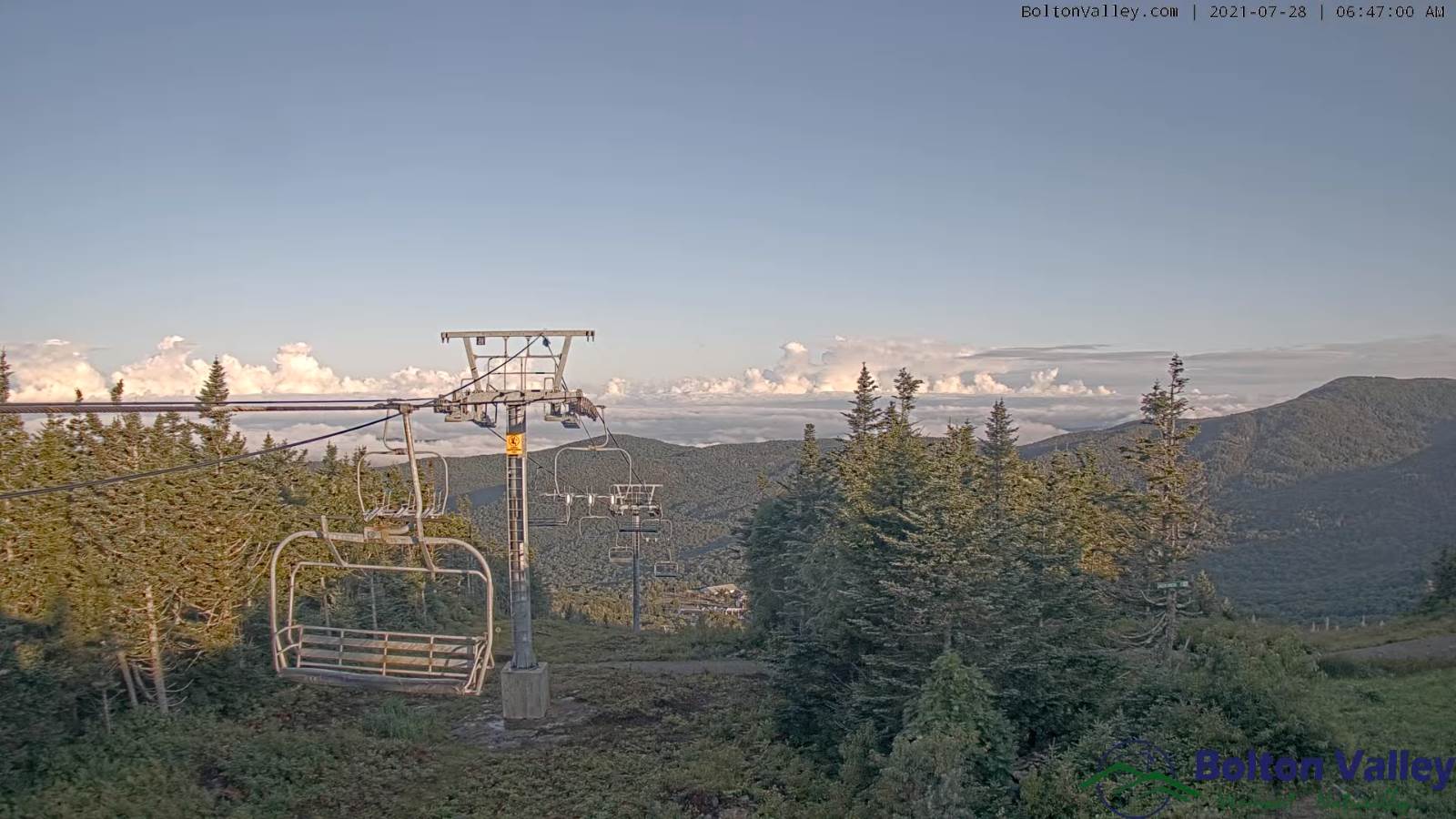
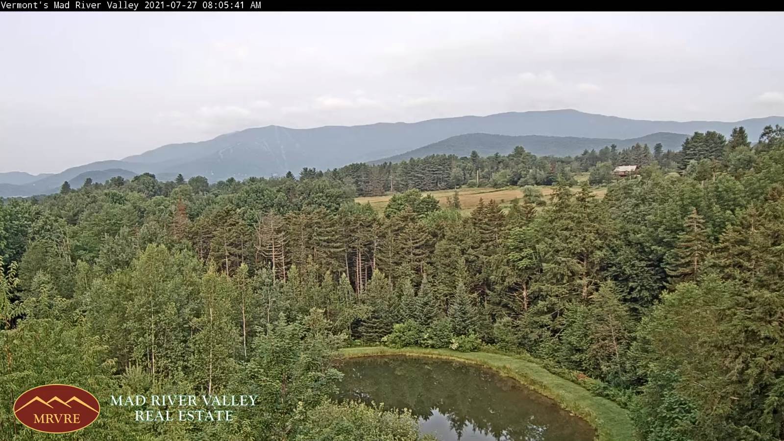
SATURDAY: Morning fog, then partly to mostly sunny and a beauty. A high in the mid-60s.
SUNDAY: Thickening clouds leading to a chance for showers…moderate at times especially southern areas. A low upper 40s to around 50. A high 65 to 70.
MONDAY: Scattered lingering showers thru mid-afternoon, then gradual clearing. Warming trend. A low near 55. A high in the lower 70s.
TUESDAY: Morning sunshine, then afternoon cloudiness. A low 50 to 55. A high around 75.
Average low mid-50s to low 60s. Average highs in the low-70s to around 80.

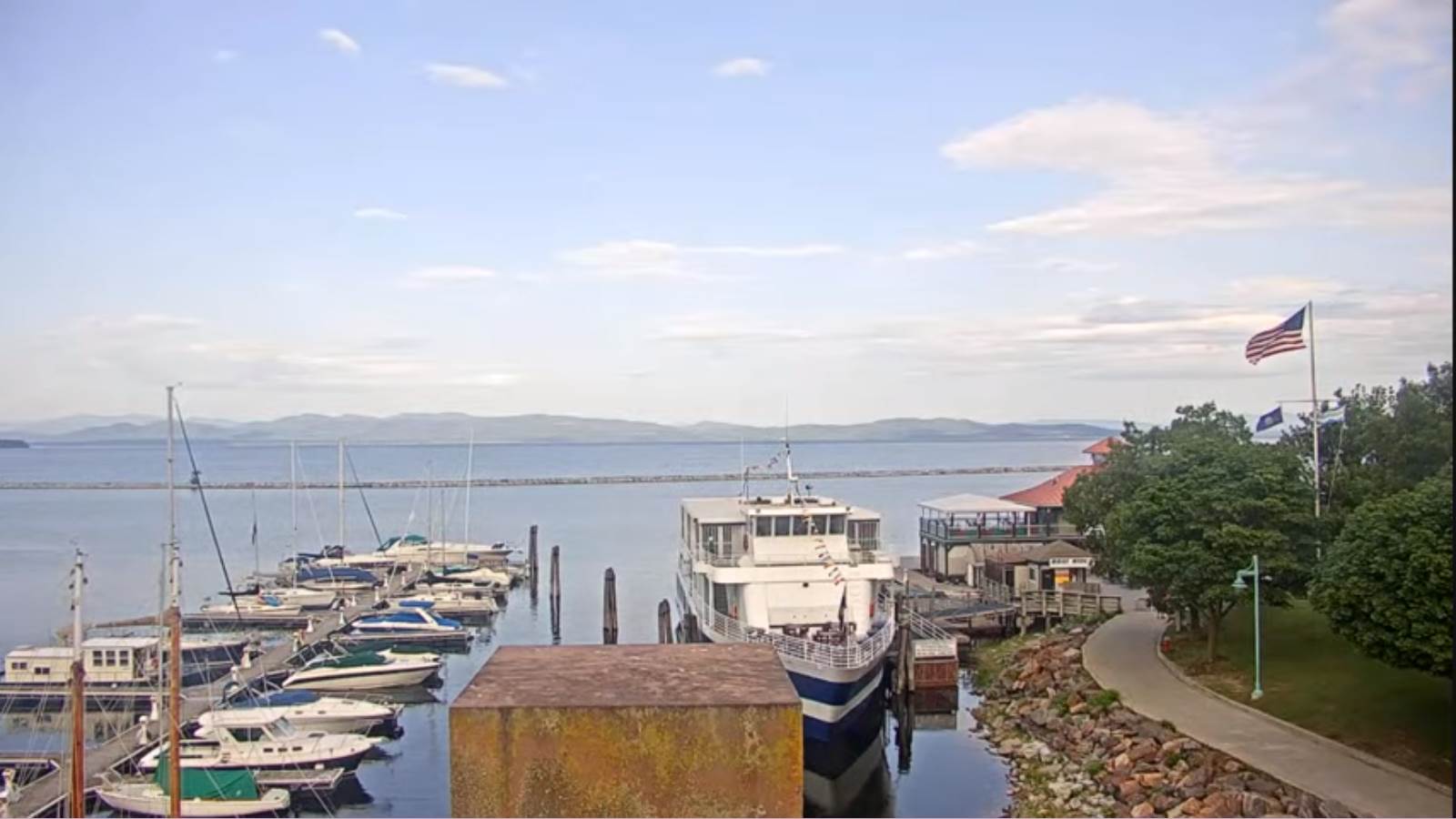
Warmest surface water temperatures early August based off local lake climatology.
RH/7-29forecast][end]