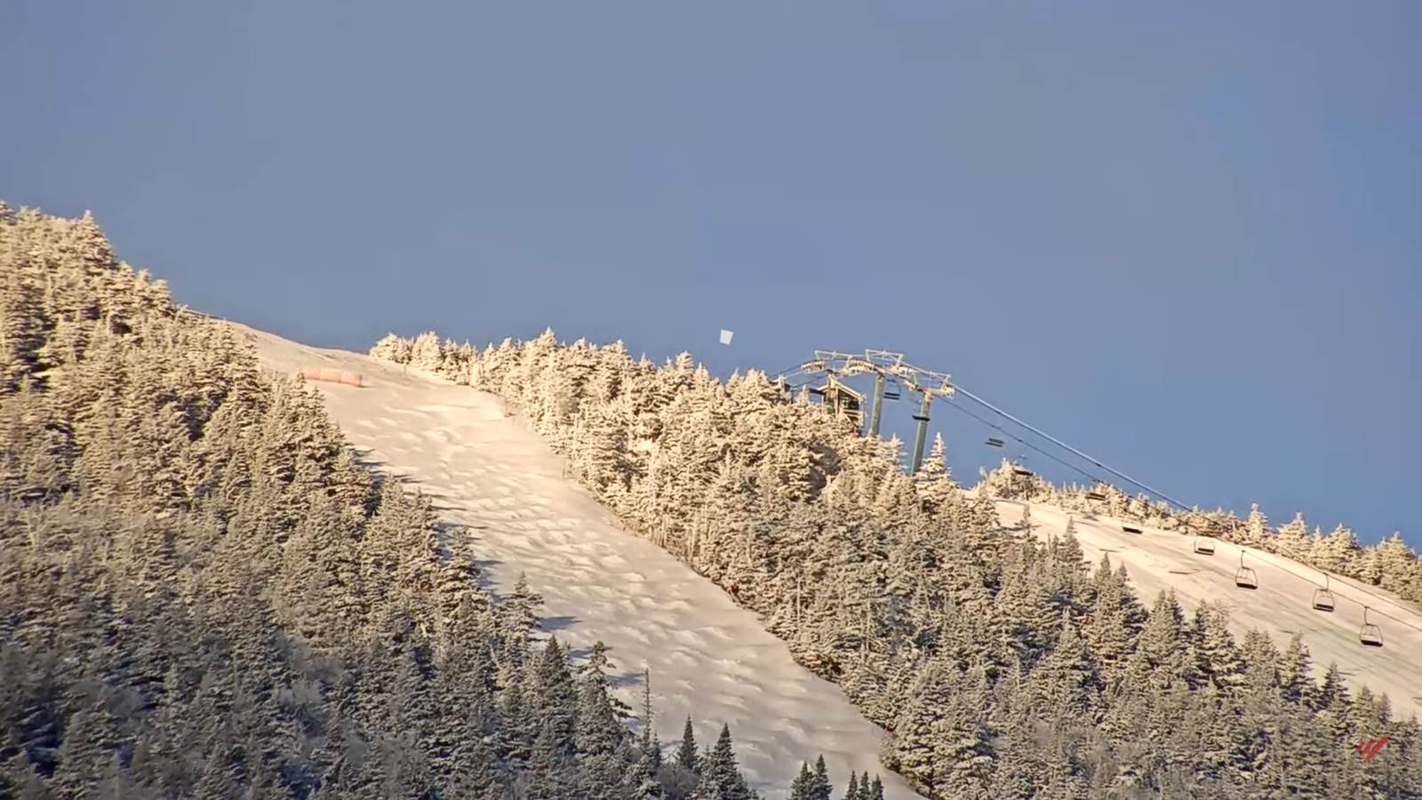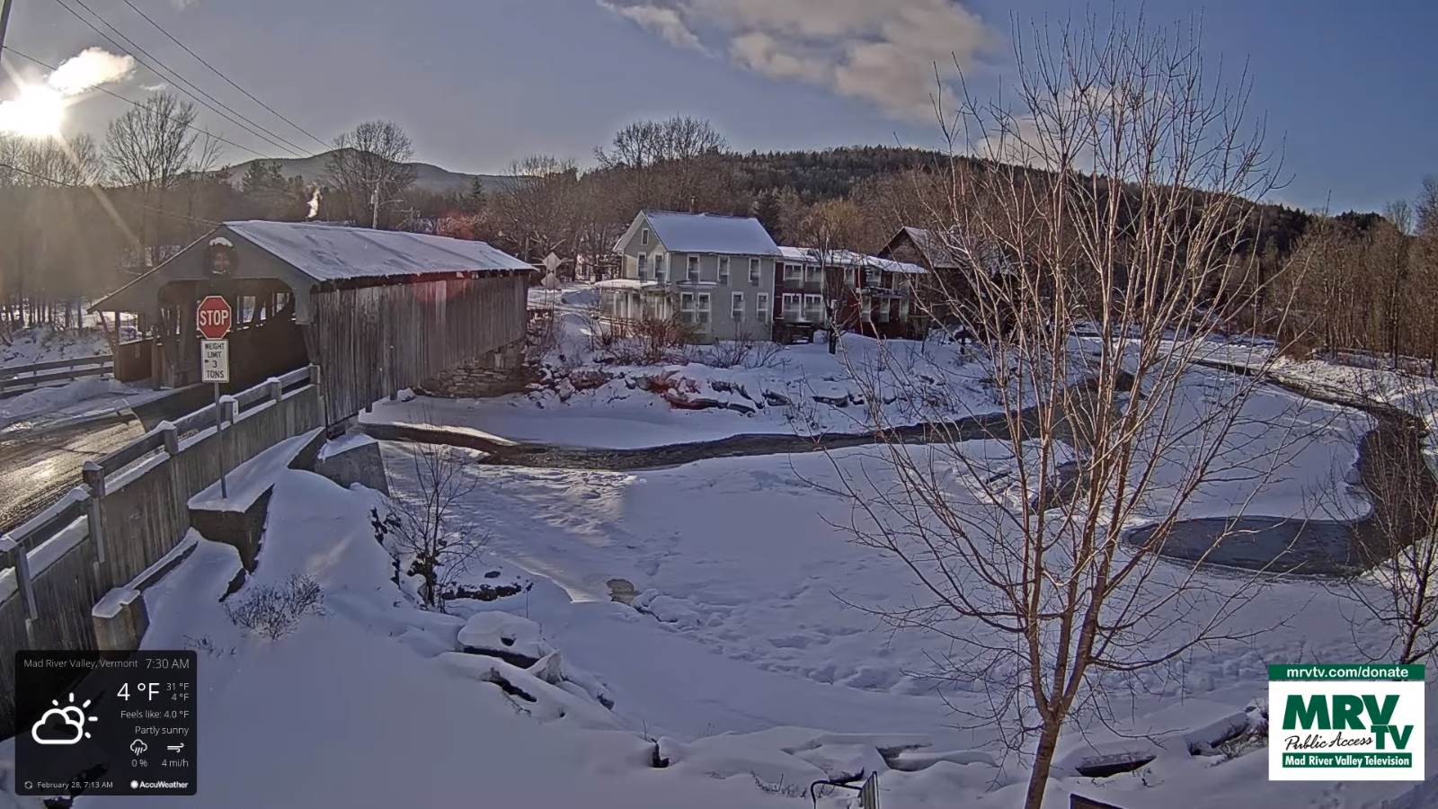
TODAY: Mainly cloudy. Light accumulating snow showers & flurries developing mid-morning on. Accumulation of dusting to 2 inches with the most northern mountains. A high mid-20s to low 30s. Southeast winds 10 mph.
TONIGHT: Snow showers flare up this evening, winding down as flurries later overnight. Additional 1 to locally 3 inches especially northern Greens. A low mid-20s to near 30. Southwest winds becoming northwesterly 10 mph.
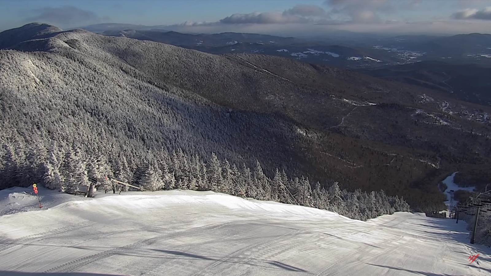
WEDNESDAY: Lots of clouds giving way to intervals of afternoon sunshine. A high upper 20s to low 30s. Light northwest winds.
Looking further ahead…
WEDNESDAY NIGHT: Cloudy. Rising chance for light accumulating snow showers/flurries with up to an inch of accumulation. A low 10 to 15.
THURSDAY: Mostly cloudy & turning blustery. Occasional leftover flurries early…exiting to partial afternoon sunshine. Temperatures holding near 15 above.
FRIDAY: Mostly sunny. A low Zero to 10 below. A high mid-teens to low 20s.
SATURDAY: Thickening clouds after filtered sun. A rising chance for light accumulating snow developing late. A low 5 below to 5 above. A high 32 to 35.
SUNDAY: Chance for a wintry mix early with poor travel…giving way to rain showers. An evening low upper 20s. A high 40s to near 50.
Average lows upper single digits to mid-teens. Average highs mid to upper 30s
End of Met. Winter March 9th
RH/3-1 forecast][end]