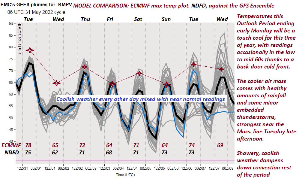
TODAY: Lots of sunshine giving way to high cloudiness. A high in the mid-70s. Northwest breeze 10 mph.
TONIGHT: Partly cloudy. A low near 55. Light southeast winds.
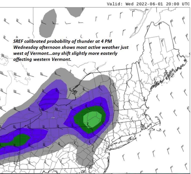
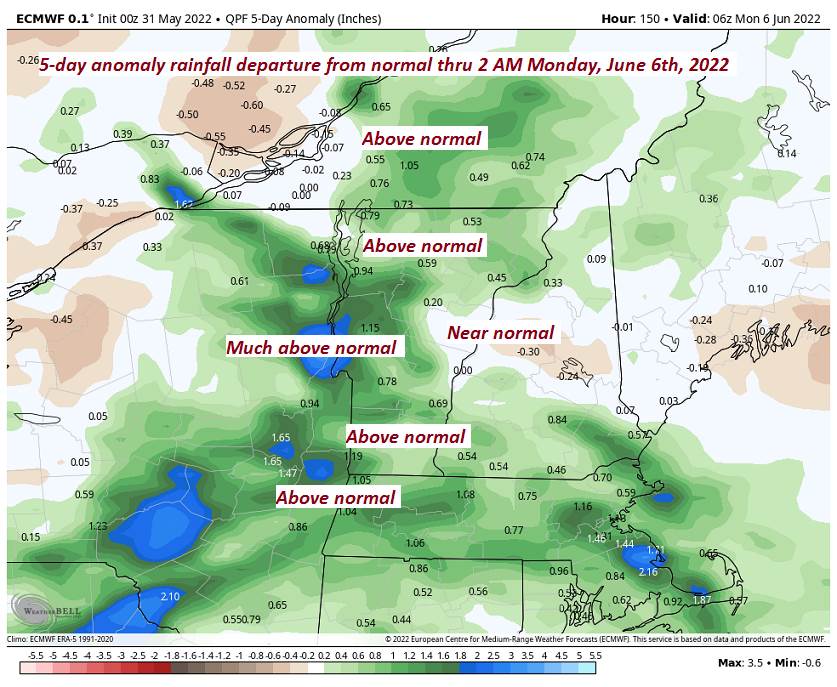
TUESDAY: Partly to mostly sunny before more clouds arrive late. Rising chance of showers and thunderstorms late Champlain valley. A high around 80. South breeze 10 to 15 mph, gusty near Lake Champlain.
Looking further ahead…
TUESDAY NIGHT: Mostly cloudy. Scattered evening showers and thunderstorms. A low 55 to 60.
WEDNESDAY: Any leftover sprinkles exiting in the morning otherwise, mixed sun and clouds. A high near 75.
THURSDAY: Chance for rain or showers, moderate to heavy at times in the morning. Intervals of afternoon sun, with widely scattered late afternoon thunderstorms. A low about 55. A high upper 60s to about 70.
FRIDAY: Partly sunny. A low near 50. A high in the low 70s.
SATURDAY: Fair but with considerable high cloudiness. A low 50 to 55. A high upper 60s to near 70.
Average lows mid-40s to around 50. Average highs 70 to 75.
RH/6-6[forecast][end]