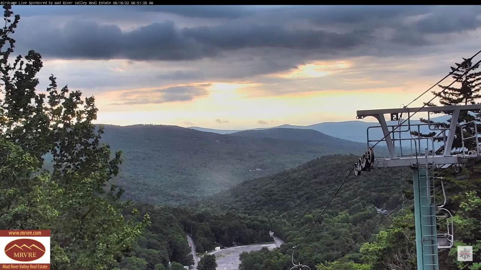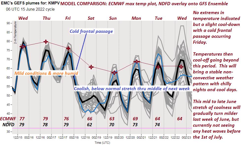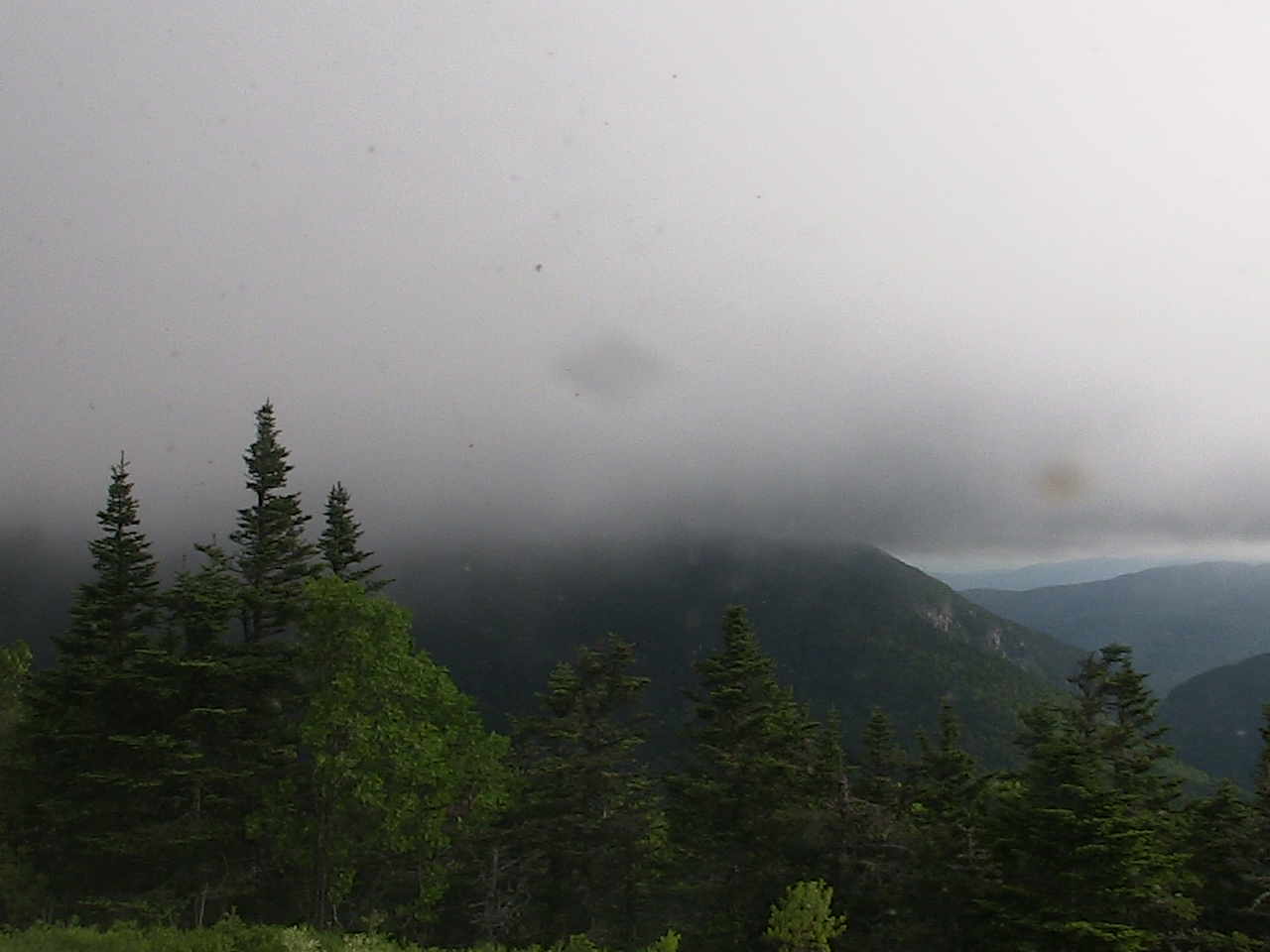
TONIGHT: Clouding up early. Showers developing northern/central areas becoming isolated overnight. A low 40 to 45. Westerly winds 10 to 15 mph shifting to northwesterly.
TOMORROW: Mainly gray and raw. Occasional showers especially near the mountains. Blustery and cool. A high near 55. Northwest winds 10 to 20 mph.
SATURDAY NIGHT: A few evening showers, otherwise lots of clouds. A low around 45. Northwest winds 10 to 15 mph.
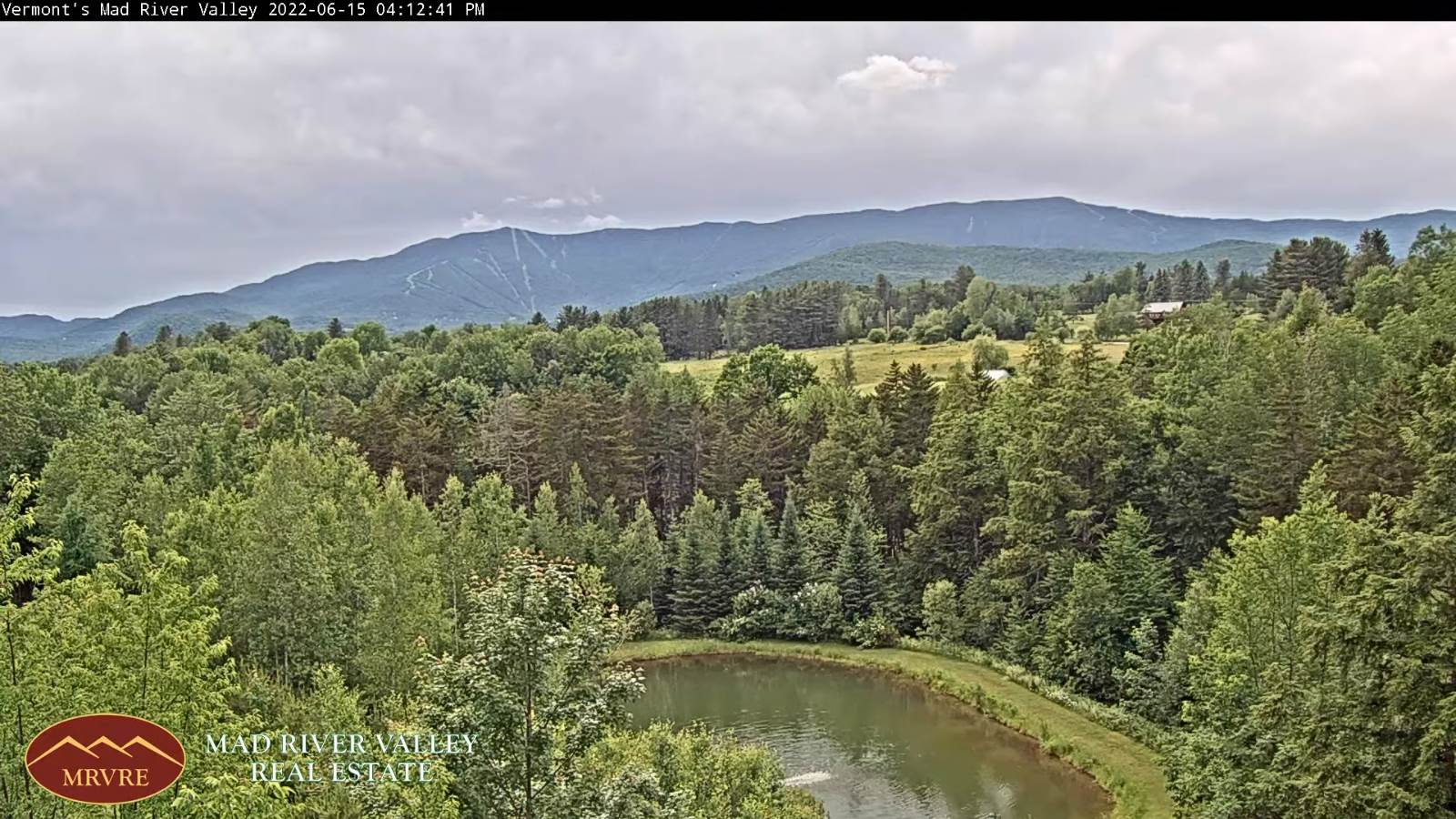
SUNDAY Father’s Day: Clouds mixed with intervals of sun. A high in the lower 60s. Northwest breeze 10 to 15 mph.
Looking further ahead…
SUNDAY NIGHT: Mostly clear and cool. A low 40 to 45.
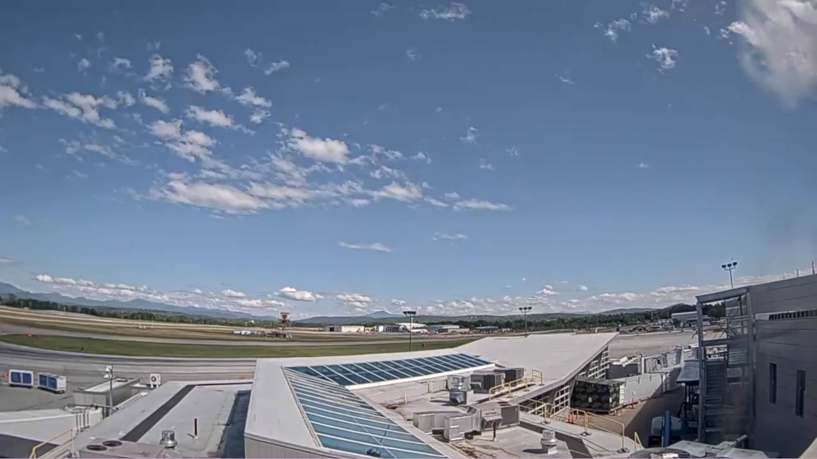
MONDAY: Bright sun and blue skies. Still a little cool. A high in the upper 60s.
Summer Solstice 5:13 AM
TUESDAY: Partly to mostly sunny. A low 45 to 50. A high 75 to 80.
WEDNESDAY: Variable cloudiness. Slight chance for a shower. A low upper 50s. A high 75 to 80.
Average lows low to mid-50s. Average highs in the mid to upper 70s
RH/6-17[forecast][end]