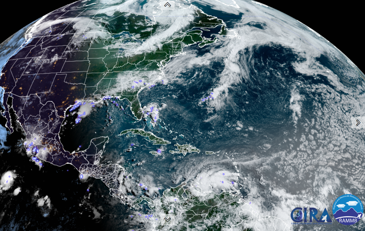
TONIGHT: Partly cloudy warm and muggy this evening, then increasing clouds. Showers and possibly a few thunderstorms developing around or after midnight. Some storms may have brief gusty winds and heavy downpours around daybreak. A low 60 to 65. Light southwest winds otherwise.
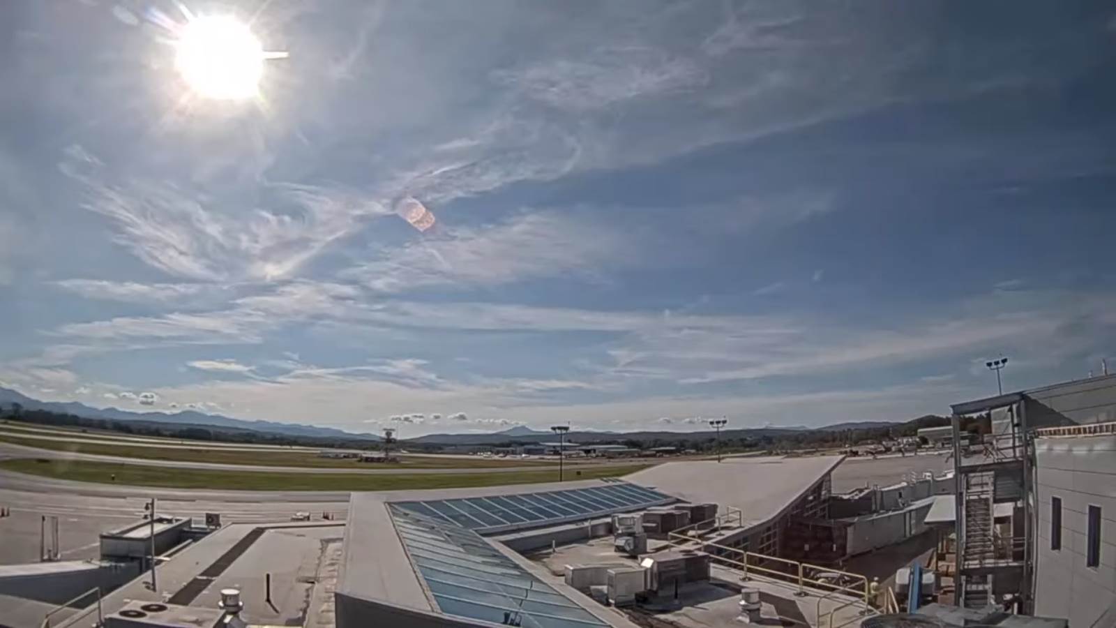
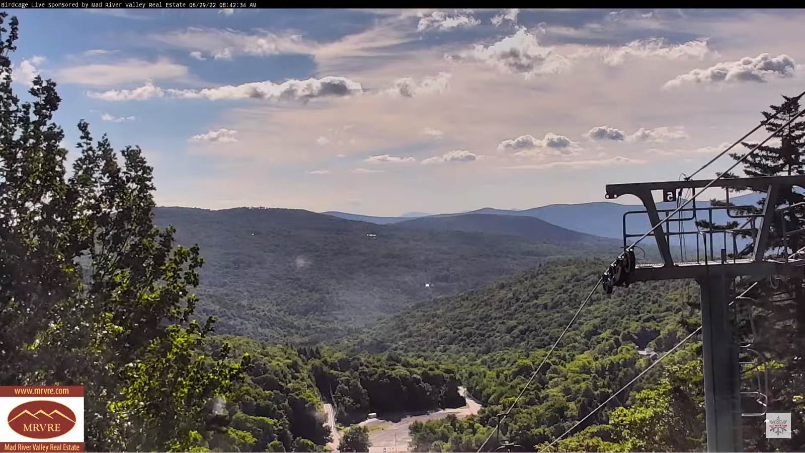
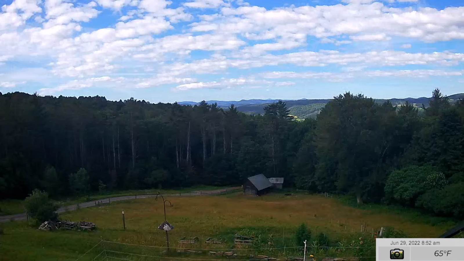
TOMORROW: Any leftover showers/storms exiting by mid-morning. Otherwise increasing sunshine and pleasant. A high in the upper 70s. West breeze 10 mph in the afternoon.
SATURDAY NIGHT: Mostly clear. A low mid-50s. Light southwest winds.

SUNDAY: Mostly sunny. A high upper 70s to around 80. Northwest winds 10 to 15 in the afternoon.
Looking further ahead…
SUNDAY NIGHT: Mostly clear. A low in the lower 50s.
MONDAY Independence Day: Sunshine then some high cloudiness. Pleasant A high around 75.
TUESDAY: Mainly cloudy and cool’ish. Chance for showers and possible thunderstorms. A low near 60. A high 65 to 70.
WEDNESDAY: Sunshine after morning fog, then afternoon clouds. A low in the 50s. A high 70 to 75.
Average lows mid to upper 50s. Average highs mid-70s to around 80.
RH/7-1[forecast][end]