Updated Monday Morning Forecast — October 24th, 2022

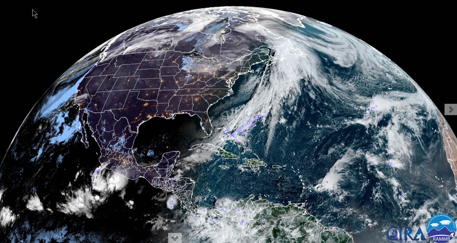
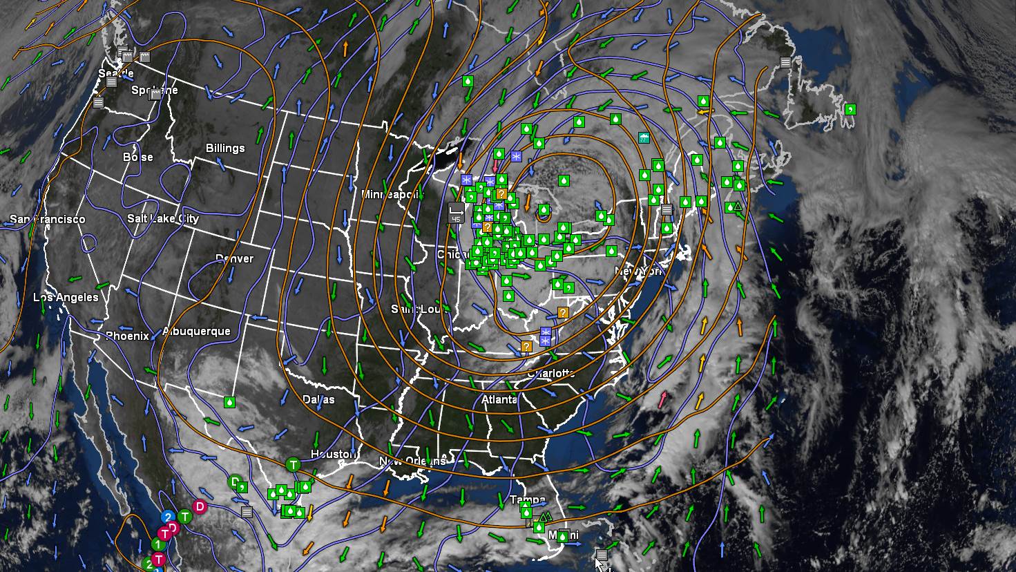
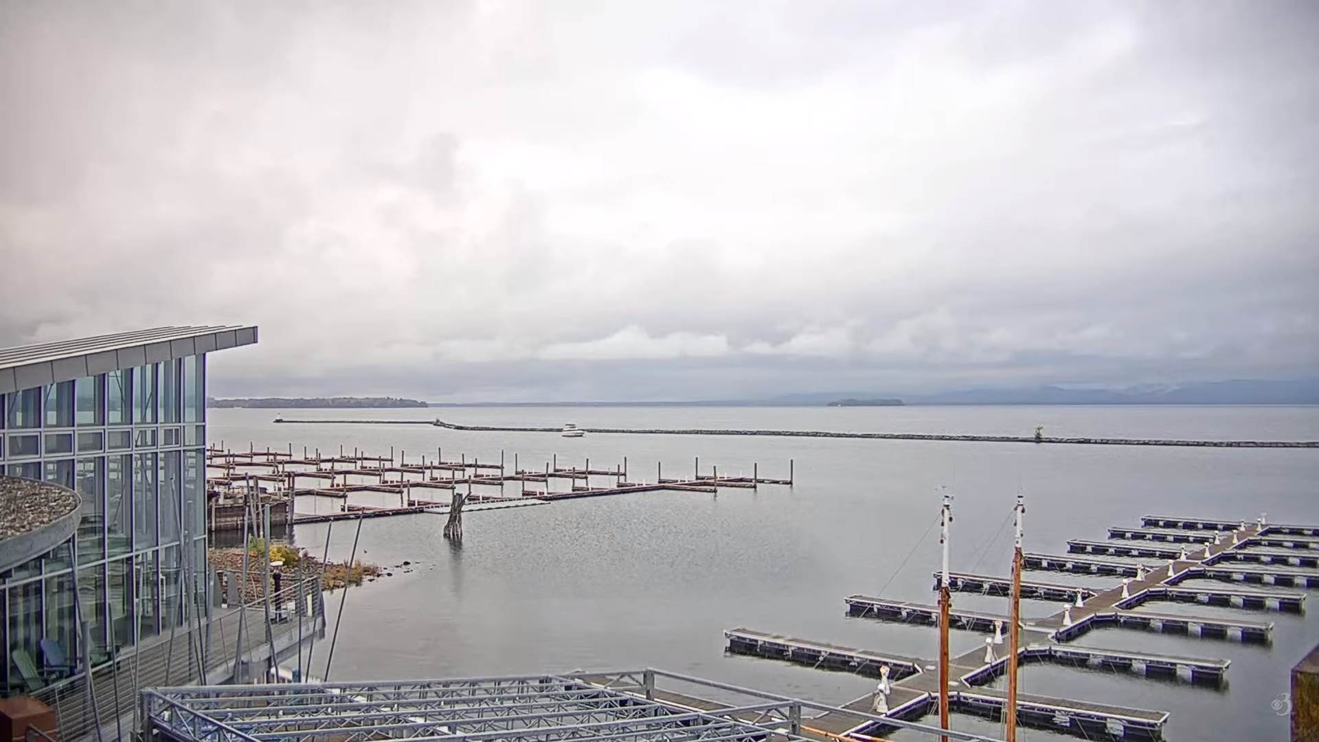
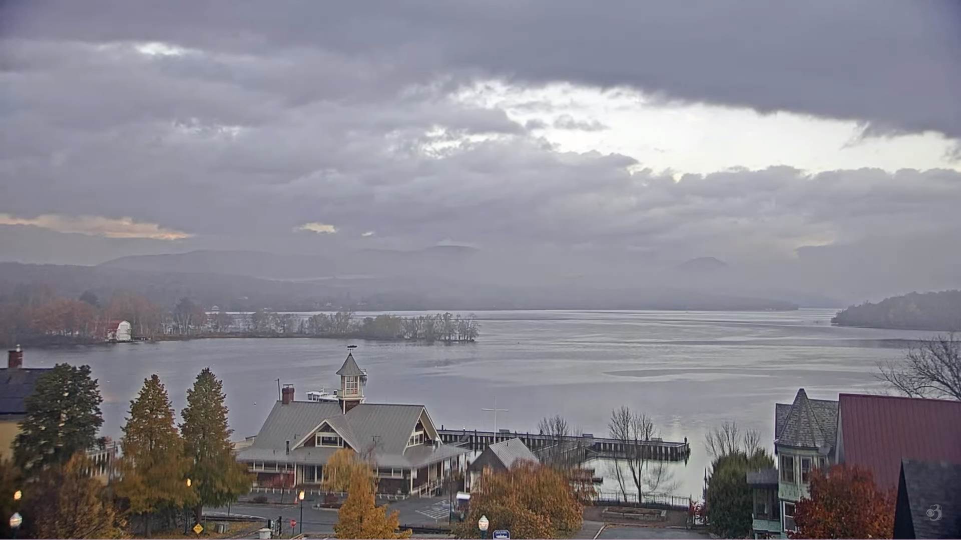
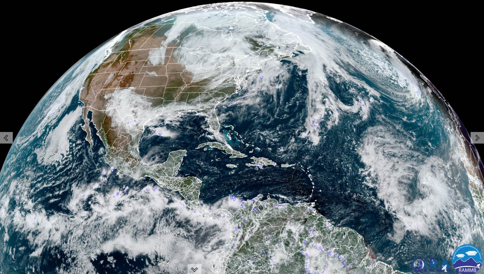
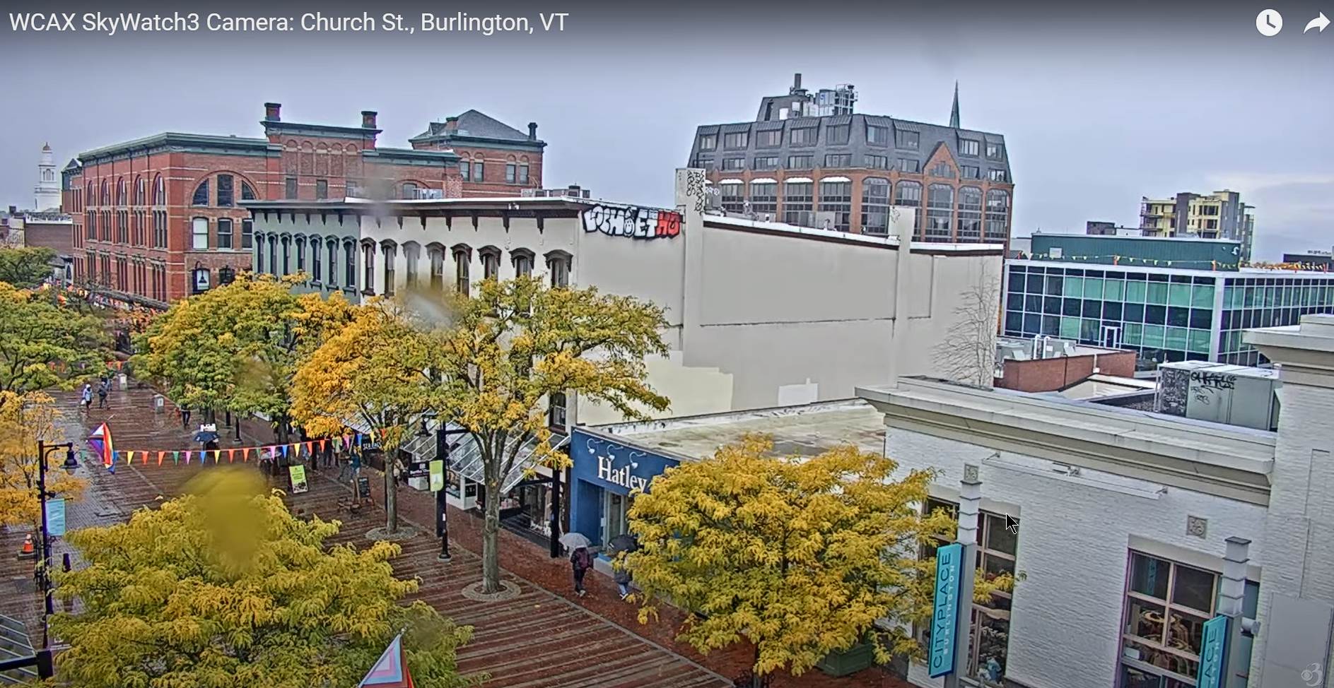
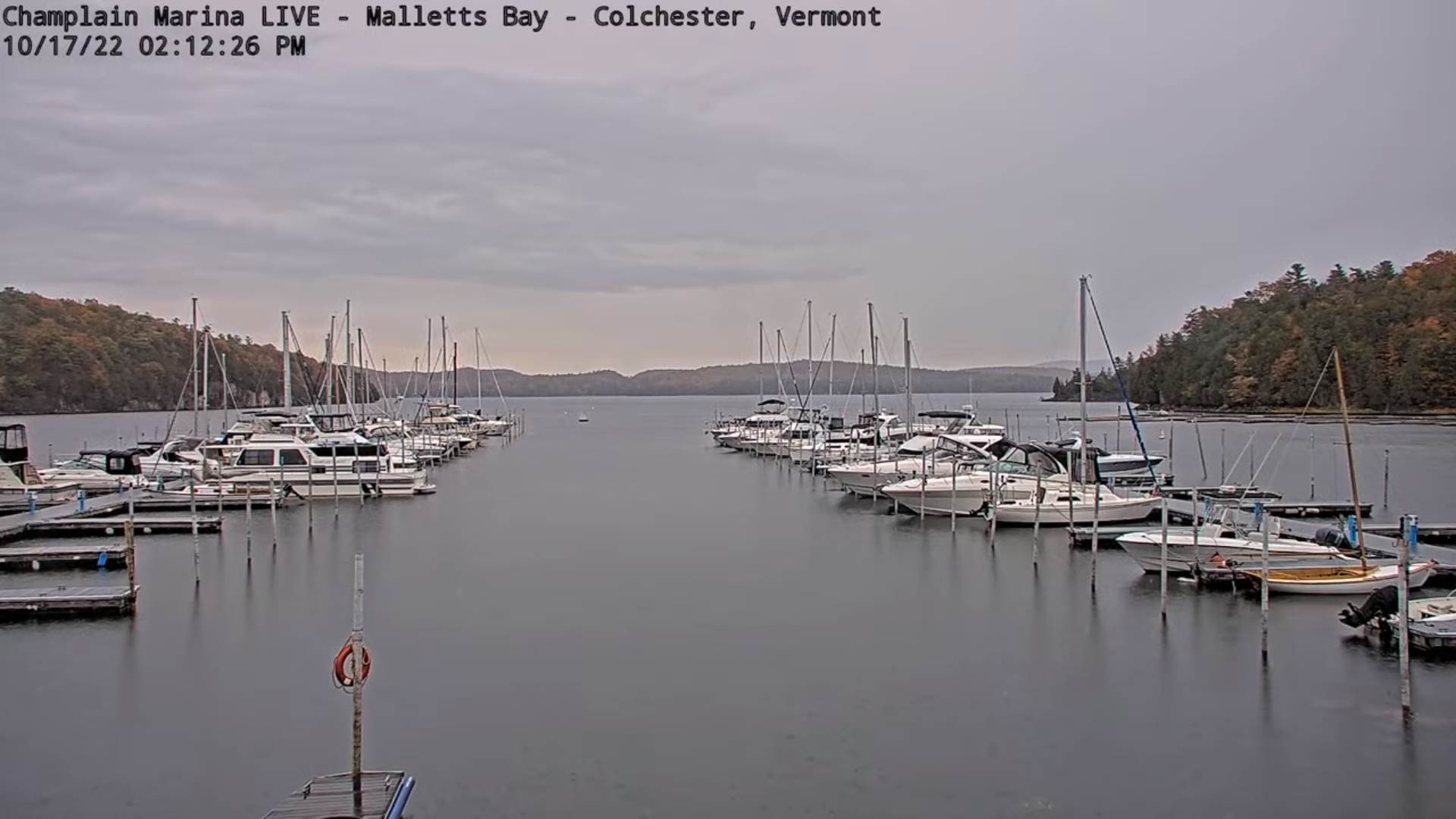
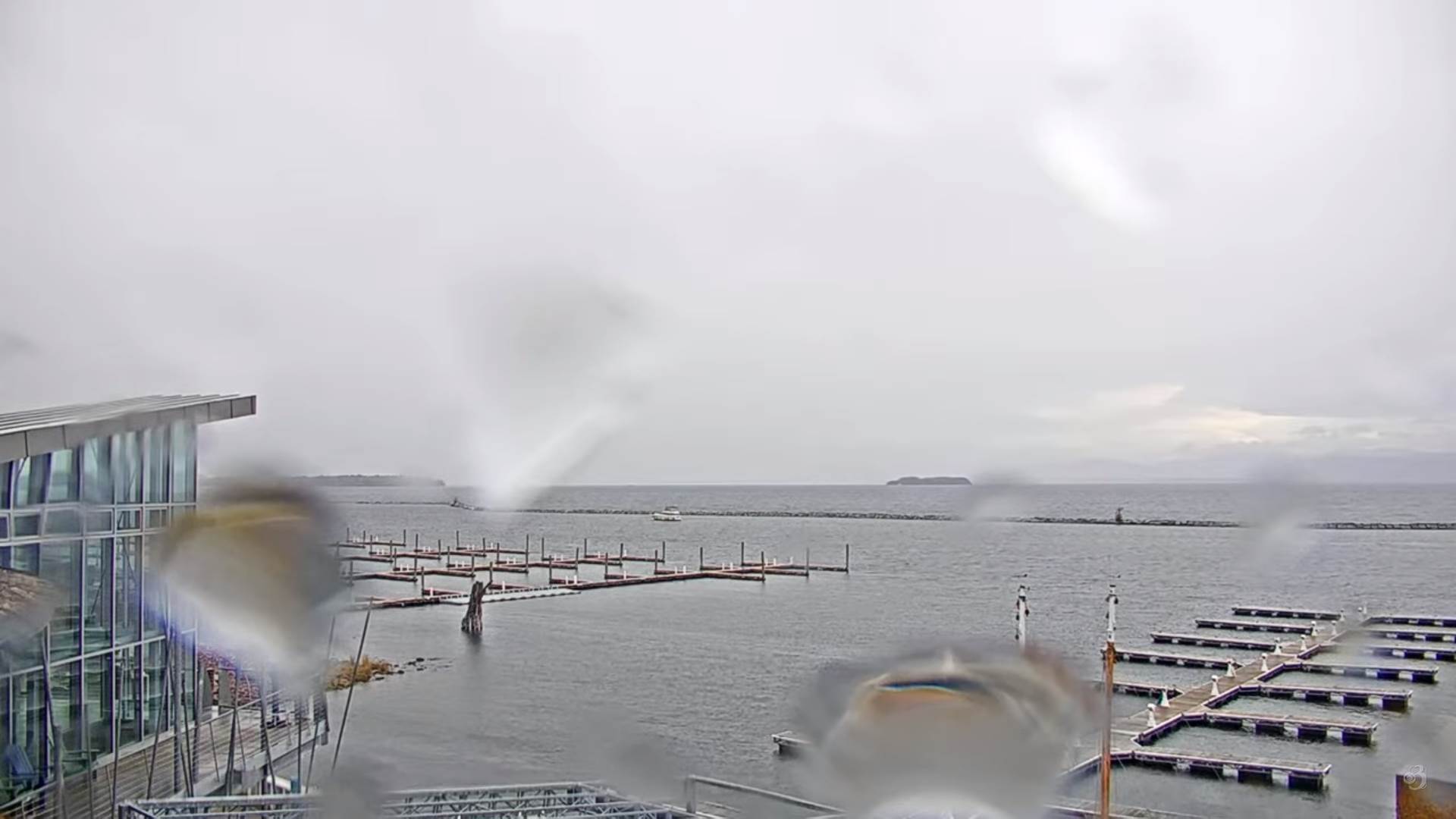
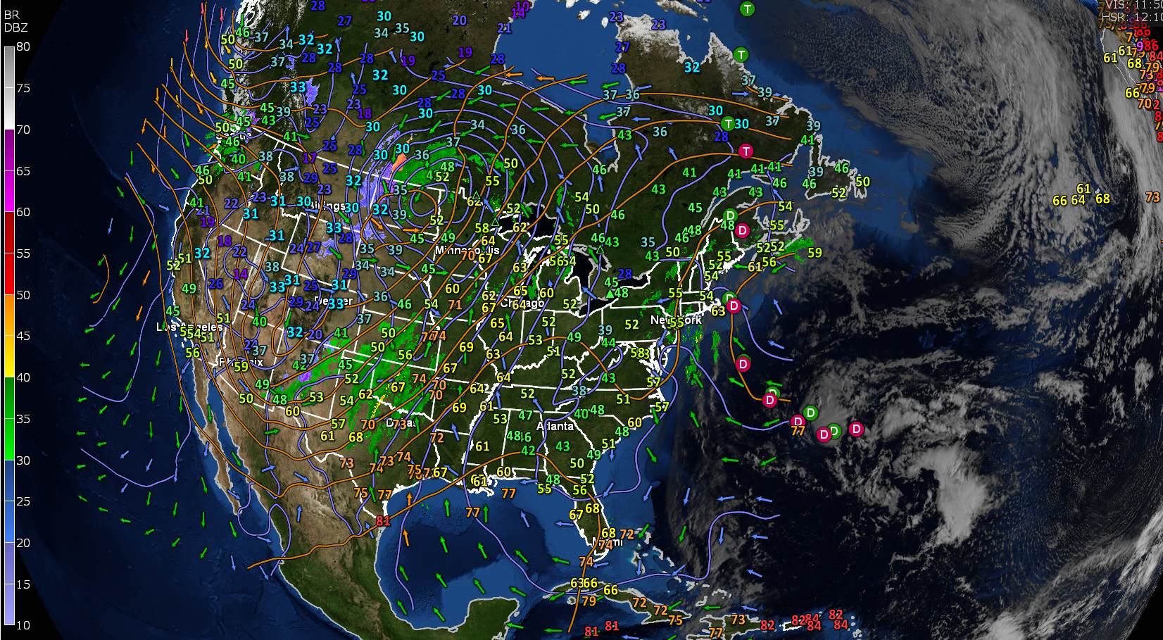
TODAY: Mainly cloudy & damp, with widely scattered sprinkles or light showers. A few breaks of sun northern areas. A high upper 50s to around 60. Light east winds.

TONIGHT: Lots of clouds & damp. Widely scattered light showers or sprinkles. A low 50 to 55. Light southeast winds.

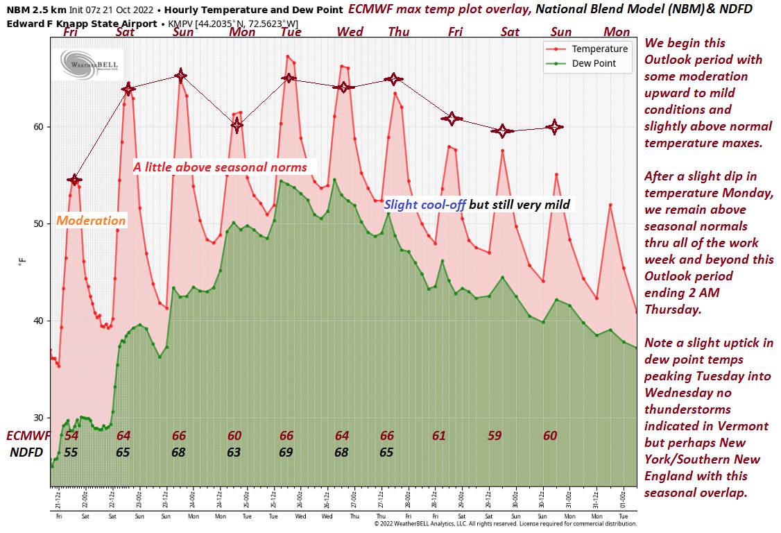
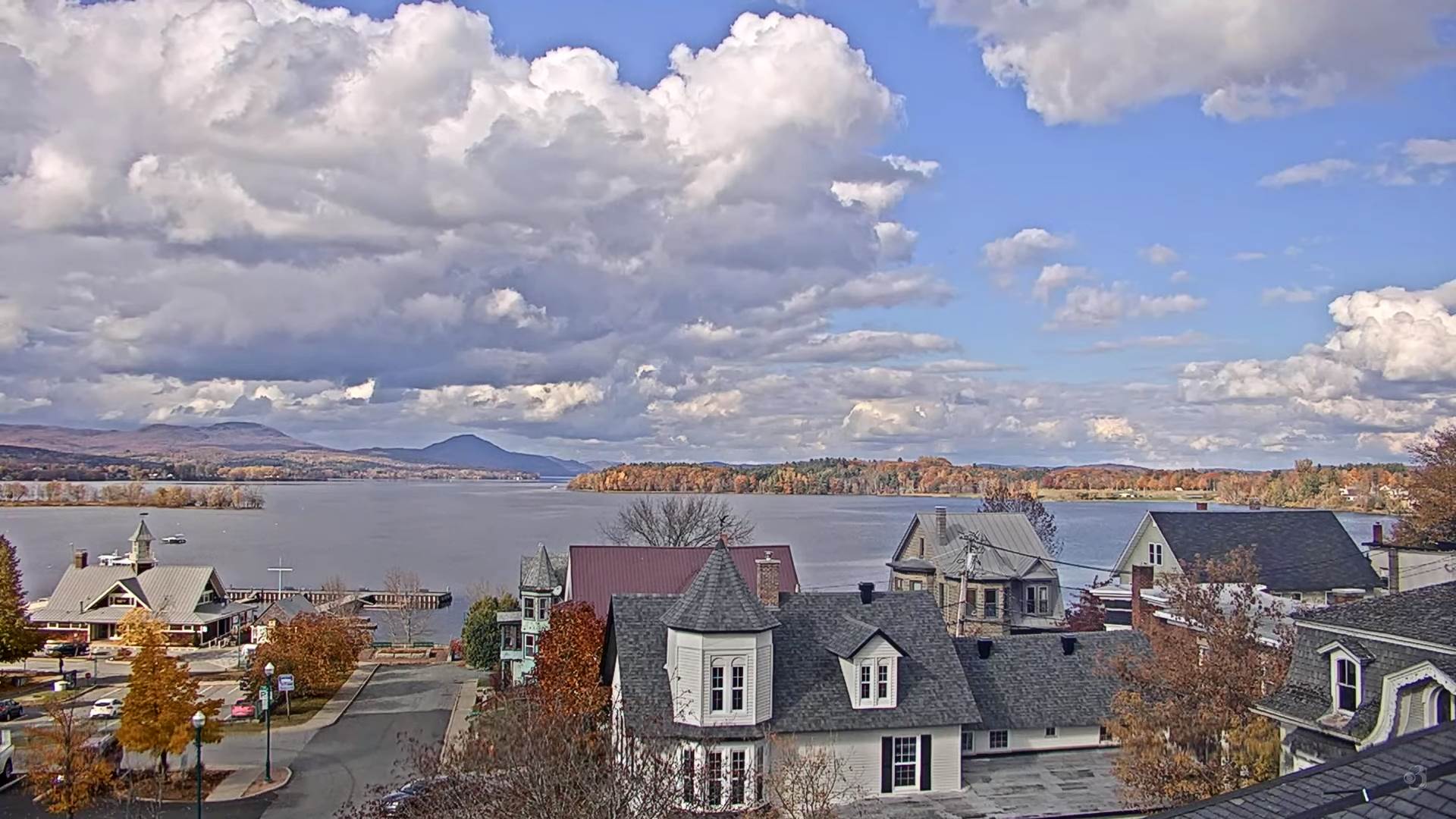
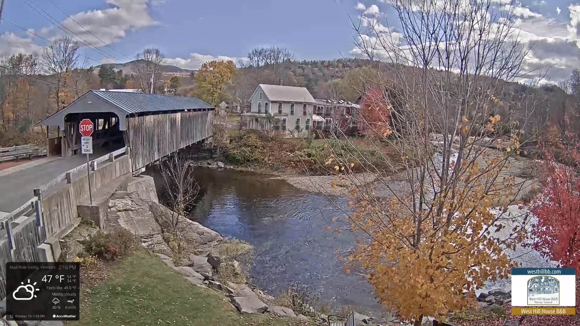
TUESDAY: Clouds with a break or two of sun. Mild and damp. Scattered lingering passing showers. A high 65 to 70. Light southeast winds.

Looking Further Ahead…

TUESDAY NIGHT: Mostly cloudy. Chance for a shower or two. A low mid to upper 50s.

WEDNESDAY: Mainly cloudy and continued mild and a little humid. Chance for showers. A high in the mid-60s.

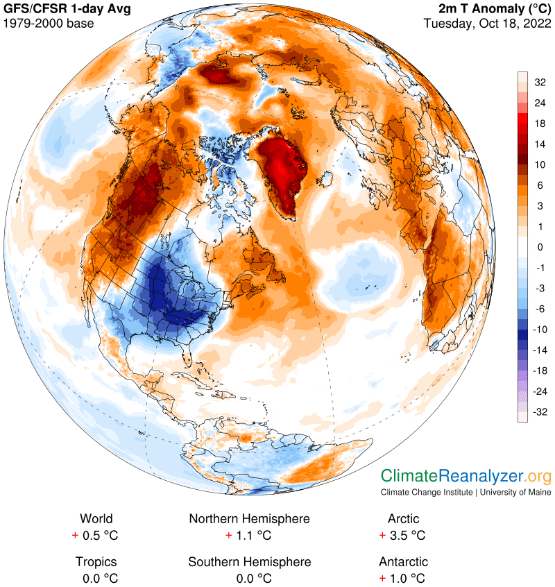
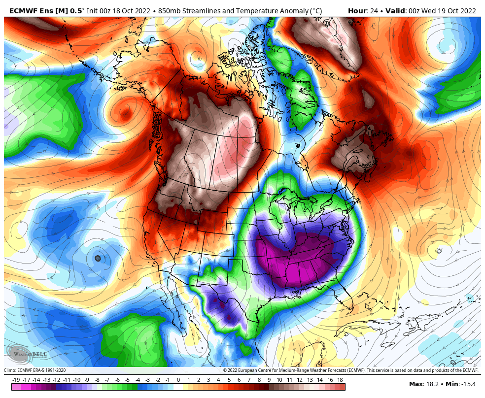
THURSDAY: Mostly cloudy with a possible shower. Blustery and a little cooler giving way to periods of afternoon sunshine. A low 45 to 50. A high around 60.

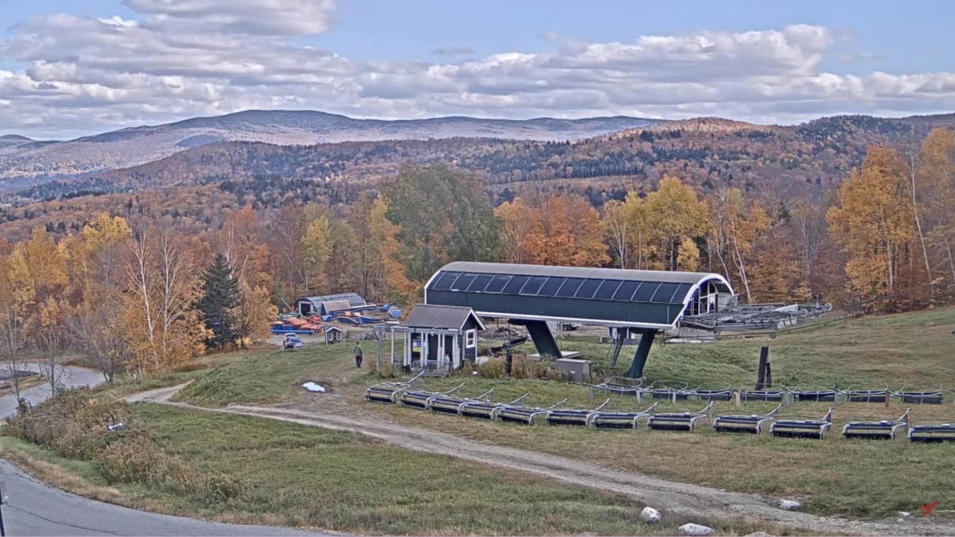
FRIDAY: Mostly sunny after patchy valley fog. Drier and seasonably cool. A low around 35. A high 50 to 55.

SATURDAY: Sunshine predominates with a few high clouds. A low 25 to 30. A high in the mid-50s.

Average lows 30 to 35. Average highs 50 to 55.

RH/10-24forecast][end]

Updated Friday Evening Forecast — October 21st. 2022

TONIGHT: Mostly clear. Patchy valley fog. A low 35 to 40. Light south winds, breezy near the lake.

TOMORROW: Pick of the weekend. Sunny & milder. A high around 65. South breeze 10 mph, stronger Lake Champlain.

SATURDAY NIGHT: A few high clouds otherwise mostly clear. Patchy valley fog.A low around 40. Light south winds.

SUNDAY: Filtered sunshine through high cloudiness. Milder. A high mid to upper 60s. Light east winds.

Looking Further Ahead…

SUNDAY NIGHT: Clouds and a rising chance for showers. A low around 45.

MONDAY: Overcast. Chance for showers. A high upper 50s to around 60.

TUESDAY: Clouds with a break or two of sun. Mild and even a bit humid. Scattered lingering showers. A low around 50. A high in the mid to upper 60s.

WEDNESDAY: Mainly cloudy and continued mild and a bit more humid. Chance for showers. A low 45 to 50. A high low to mid 60s.

Average lows 30 to 35. Average highs in the mid-50s.

RH/10-21forecast][end]

Updated Friday Morning Forecast — October 21st, 2022

TODAY: Lots of sunshine, but still cool. A high in the mid-50s. Light southwest winds.

TONIGHT: Mostly clear. Patchy valley fog. A low 35 to 40. Light south winds, breezy near the lake.

SATURDAY: Pick of the weekend. Sunny & milder. A high around 65. South breeze 10 mph, stronger Lake Champlain.

Looking Further Ahead…

SATURDAY NIGHT: A few high clouds otherwise mostly clear. Patchy valley fog.A low around 40.

SUNDAY: Filtered sunshine through high cloudiness. Milder. A high mid to upper 60s.

MONDAY: Overcast. Chance for showers. A low around 45. A high upper 50s to around 60.

TUESDAY: Clouds with a break or two of sun. Mild and even a bit humid. Scattered lingering showers. A low around 50. A high in the mid to upper 60s.

WEDNESDAY: Mainly cloudy and continued mild and a bit more humid. Chance for showers. A low 45 to 50. A high low to mid 60s.

Average lows 30 to 35. Average highs in the mid-50s.

RH/10-21forecast][end]

Updated Thursday Evening Forecast — October 20th, 2022

TONIGHT: Clouds, maybe a wet snowflake northwestern areas, clearing after midnight. A low 32 to 35. Light south winds.

TOMORROW: Lots of sunshine, but still cool. A high in the mid-50s. Light southwest winds.

FRIDAY NIGHT: Mostly clear with high clouds arriving. Patchy valley fog. A low 35 to 40. Light south winds, breezy near the lake.

SATURDAY: Pick of the weekend. Sunny & milder. A high around 65. South breeze 10 mph, stronger Lake Champlain.

Looking Further Ahead…

SATURDAY NIGHT: Variable high clouds. Patchy valley fog.A low in the upper 30s around 40.

SUNDAY: Filtered sunshine through high cloudiness, thickening late. Milder. A high around 65.

MONDAY: Overcast. Chance for showers. A low around 45. A high near 65.

TUESDAY: Variably cloudy. Scattered showers. A low in the mid-50s. A high in the mid-60s.

WEDNESDAY: Chance for a leftover shower early. Otherwise clouds giving way to partial afternoon sun. A low near 45. A high around 60.

Average lows 30 to 35. Average highs in the mid-50s.

RH/10-20forecast][end]

Updated Thursday Morning Forecast — October 20th, 2022

TODAY: Sunshine mixed with clouds most of the area. Partly to mostly cloudy with an isolated sprinkle/wet snowflake northwestern Vermont. A high in the upper 40s to low 50s. Southwest breeze 10 to occasionally 20 mph.

TONIGHT: Mostly cloudy. Isolated sprinkles or wet snow flakes. A low 32 to 35. Light south winds.

FRIDAY: More sun than clouds. A high in the mid-50s. Light southwest winds, but breezy near the lake.

Looking Further Ahead…

FRIDAY NIGHT: Mostly clear. A low upper 30s.

SATURDAY: Pick of the weekend. Sunny & milder. A high in the mid-60s.

SUNDAY: Filtered sunshine through high cloudiness. Thickening clouds later on. Milder. A low in the upper 30s around 40. A high around 65.

MONDAY: Overcast. Chance for showers. A low around 45. A high near 65.

TUESDAY: Variably cloudy. Scattered showers. A low in the mid-50s. A high in the mid-60s.

WEDNESDAY: Chance for a leftover shower early. Otherwise clouds giving way to partial afternoon sun. A low near 45. A high around 60.

Average lows 30 to 35. Average highs in the mid-50s.

RH/10-20forecast][end]

Updated Wednesday Evening — October 19th, 2022

TONIGHT: Scattered clouds or mostly clear. Patchy valley fog. A low around 35. Light south to southwest winds breezy near Lake Champlain.

TOMORROW: Partly to mostly cloudy. A few passing showers Champlain Valley, mixed with wet snowflakes in the northern Greens. A high in the upper 40s. Southwest breeze 10 to occasionally 20 mph.

THURSDAY NIGHT: Mostly cloudy. Isolated sprinkles or wet snow flakes. A low 32 to 35. Light southwest winds.

FRIDAY: More sun than clouds. A high in the mid-50s. Light southwest breeze stronger near the lake.

Looking Further Ahead…

FRIDAY NIGHT: Mostly clear. A low upper 30s.

SATURDAY: Pick of the weekend. Sunny & milder. A high in the mid-60s.

SUNDAY: Variable high cloudiness filtering the sunshine. Above normal in temperature. A low in the upper 30s around 40. A high around 65.

MONDAY: Mainly gray. Chance for showers. A low around 45. A high near 65.

Average lows 30 to 35. Average highs in the mid-50s.

RH/10-17forecast][end]

Updated Wednesday Morning Forecast — October 19th, 2022

TODAY: Morning fog burns off to periods of sunshine with more clouds later this afternoon. Maybe a sprinkle near the Quebec border. Seasonably cool. A high in the lower 50s. Southwest breeze 10 mph.

TONIGHT: Scattered clouds, patchy valley fog. A low 32 to 35. Light south to southwest winds breezy near Lake Champlain.

THURSDAY: More clouds than sun. A few passing showers Champlain Valley, mixed with wet snowflakes in the northern Greens. A high upper 40s to around 50. Southwest breeze 10 to occasionally 20 mph.

Looking Further Ahead…

THURSDAY NIGHT: Mostly cloudy. Isolated sprinkles or wet snow flakes. A low 32 to 35.

FRIDAY: More sun than clouds. A high in the mid-50s.

SATURDAY: Pick of the weekend. Sunny & milder. A low upper 30s. A high in the mid-60s.

SUNDAY: Variable high cloudiness filtering the sunshine. Above normal in temperature. A low in the upper 30s around 40. A high around 65.

MONDAY: Mainly gray. Chance for showers. A low around 45. A high near 65.

Average lows 30 to 35. Average highs in the mid-50s.

RH/10-17forecast][end]

Updated Tuesday Evening Forecast — October 18th, 2022

TONIGHT: Becoming mostly clear with considerable dense valley fog. Areas of frost. A low around 32 degrees. Little wind.

TOMORROW: Lots of sunshine with more clouds later in the afternoon. Seasonably cool. A high in the lower 50s. Southwest breeze 10 mph.

WEDNESDAY NIGHT: Scattered clouds, patchy valley fog. A low around 35. Light southwest winds.

THURSDAY: More clouds than sun. Chance for a few passing showers northwestern Vermont, mixed with wet snowflakes high terrain. A high in the upper 40s. Southwest breeze 10 to 15 mph.

Looking Further Ahead…

THURSDAY NIGHT: Mostly cloudy. Scattered passing rain showers mixed wet snow flakes or snow grains. A low in the mid-30s.

FRIDAY: Mixed sun and clouds. A high near 55.

SATURDAY: Mostly sunny with a few high clouds. Milder. A low 35 to 40. A high 60 to 65.

SUNDAY: Variable high cloudiness but lots of sunshine. Above normal in temperature. A low in the upper 30s around 40. A high near 65.

Average lows 30 to 35. Average highs in the mid-50s.

RH/10-17forecast][end]

Updated Tuesday Morning Forecast — October 18th, 2022

TODAY: Lots of clouds with breaks of sun at times western areas. An occasional shower…becoming more numerous for a time before exiting to some periods of sun developing late. A high 50 to 55. Light southwest winds.

TONIGHT: Becoming mostly clear with considerable dense valley fog. Areas of frost. A low around 32 degrees. Light southwest winds.

WEDNESDAY: Lots of sun before more clouds in the afternoon. Chilly and becoming breezy. A high in the lower 50s. Winds southwest 10 to 20 mph.

Looking Further Ahead…

WEDNESDAY NIGHT: Scattered clouds, patchy valley fog with areas of frost. A low 32 to 35.

THURSDAY: Mostly cloudy. Chance for a few passing showers northwestern Vermont, mixed with wet snowflakes high terrain. A high in the upper 40s.

FRIDAY: Mixed sun and clouds. A low in the mid-30s. A high near 55.

SATURDAY: Mostly sunny with a few high clouds. Milder. A low 35 to 40. A high 60 to 65.

SUNDAY: Variable high cloudiness but lots of sunshine. Above normal in temperature. A low in the upper 30s around 40. A high near 65.

Average lows 30 to 35. Average highs in the mid-50s.

RH/10-17forecast][end]

Updated Monday Evening Forecast — October 17th, 2022

TONIGHT: Overcast. Periods of rain or showers moderate at times this evening tapering to isolated showers overnight. A low about 40. Light south winds.

TOMORROW: Mainly cloudy with few early breaks of sun. Showers redeveloping, a few moderate at times eastern areas, exiting mid-afternoon to increasing amounts of sun late. A in the mid-50s. Light southwest winds.

TUESDAY NIGHT: Mostly clear with considerable dense valley fog. Areas of frost. A low 30 to 35. Light southwest winds.

WEDNESDAY: Lots of sun then partly cloudy later in the afternoon. Chilly and becoming breezy. A high in the low 50s. Winds southwest 10 to 20 mph.

Looking Further Ahead…

WEDNESDAY NIGHT: Scattered clouds, patchy valley fog with areas of frost. A low about 32.

THURSDAY: Mostly cloudy. Chance for a few passing showers northwestern Vermont, mixed with wet snowflakes high terrain. A high in the upper 40s to around 50.

FRIDAY: Mixed sun and clouds. A low in the mid-30s. A high in the low 50s.

SATURDAY: Mostly sunny with a few high clouds. Milder. A low 35 to 40. A high 60 to 65.

SUNDAY: Variable high cloudiness but lots of sunshine. Above normal in temperature. A low in the upper 30s around 40. A high around 65.

Average lows 30 to 35. Average highs in the mid-50s.

RH/10-17forecast][end]