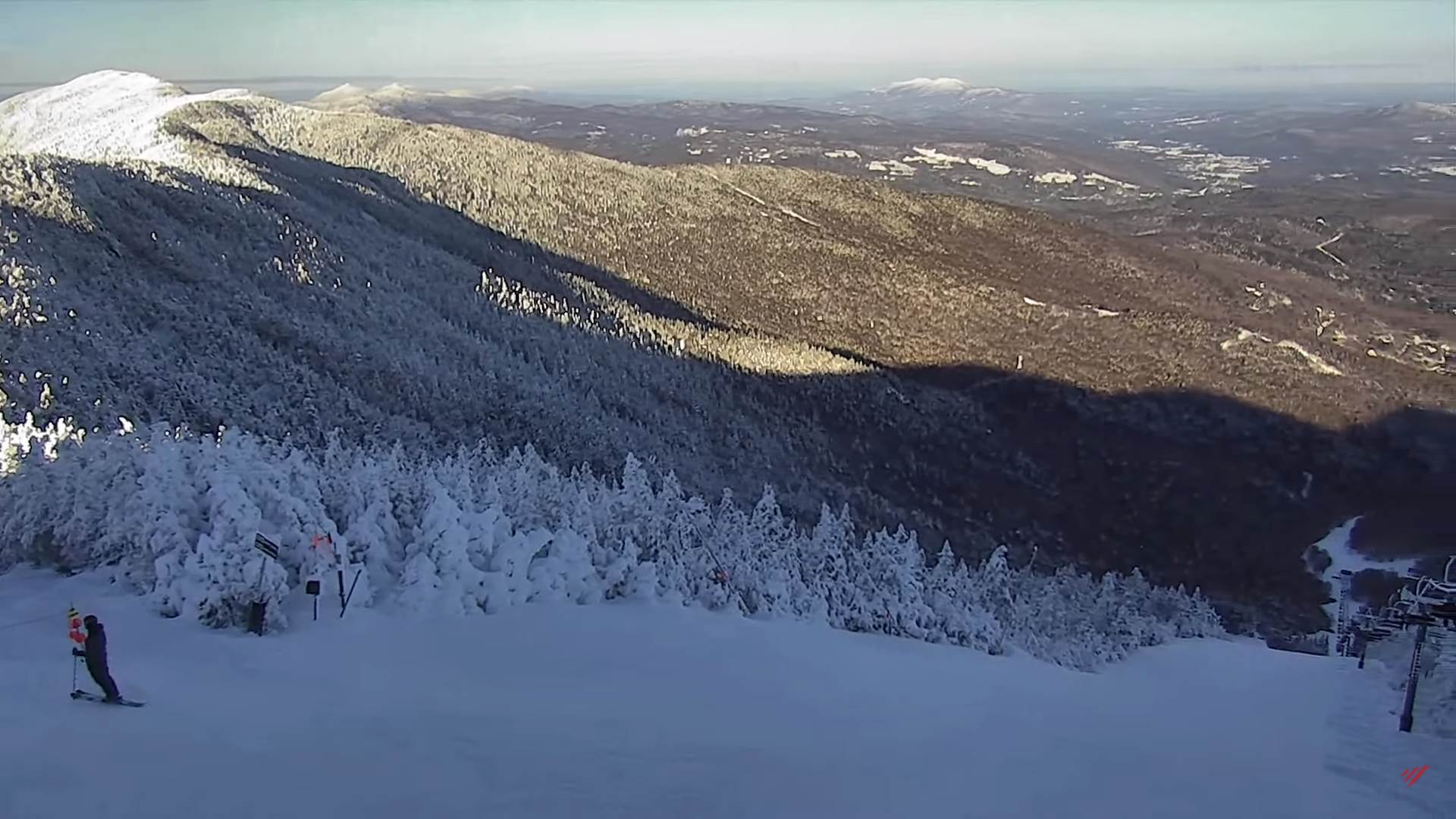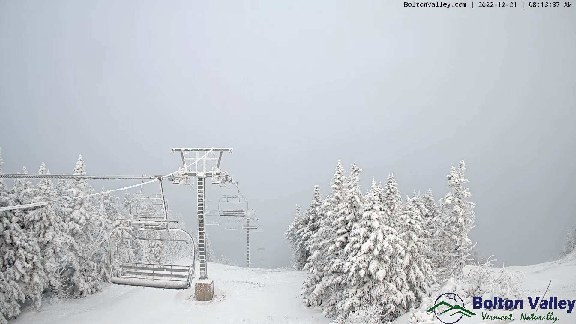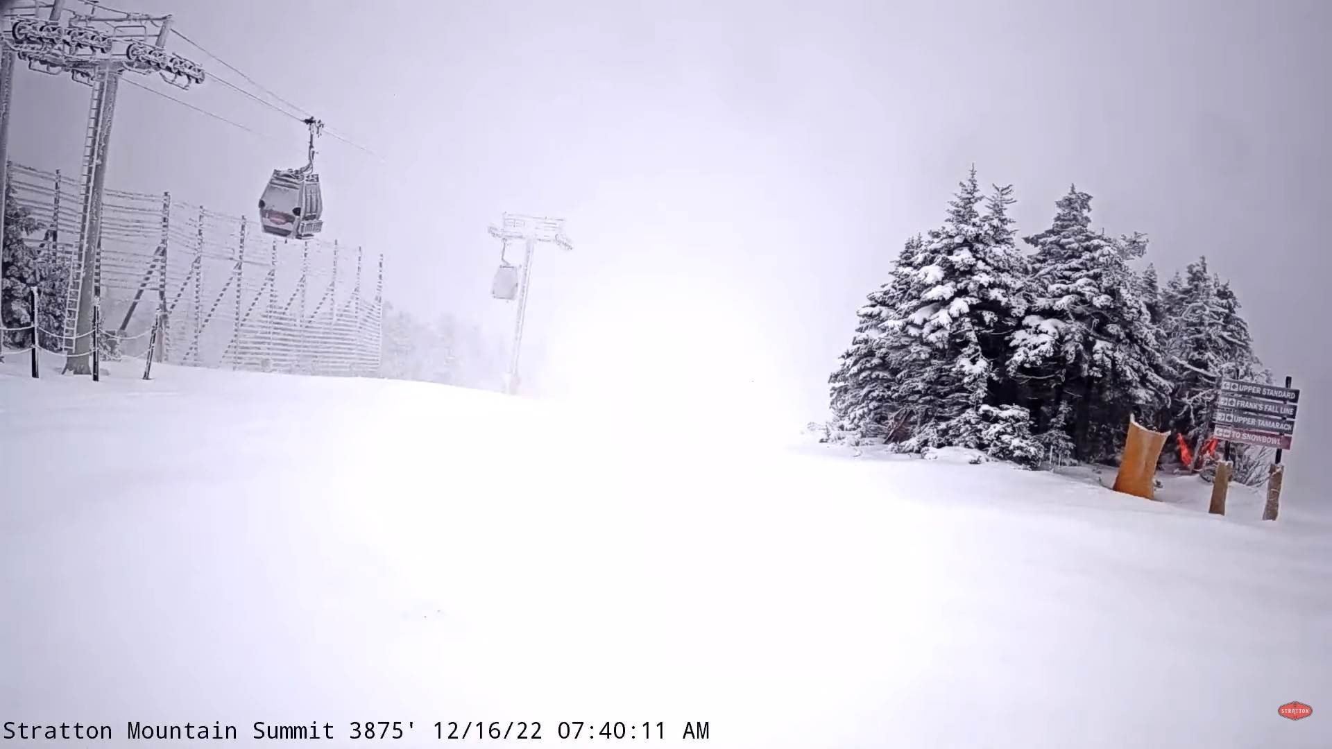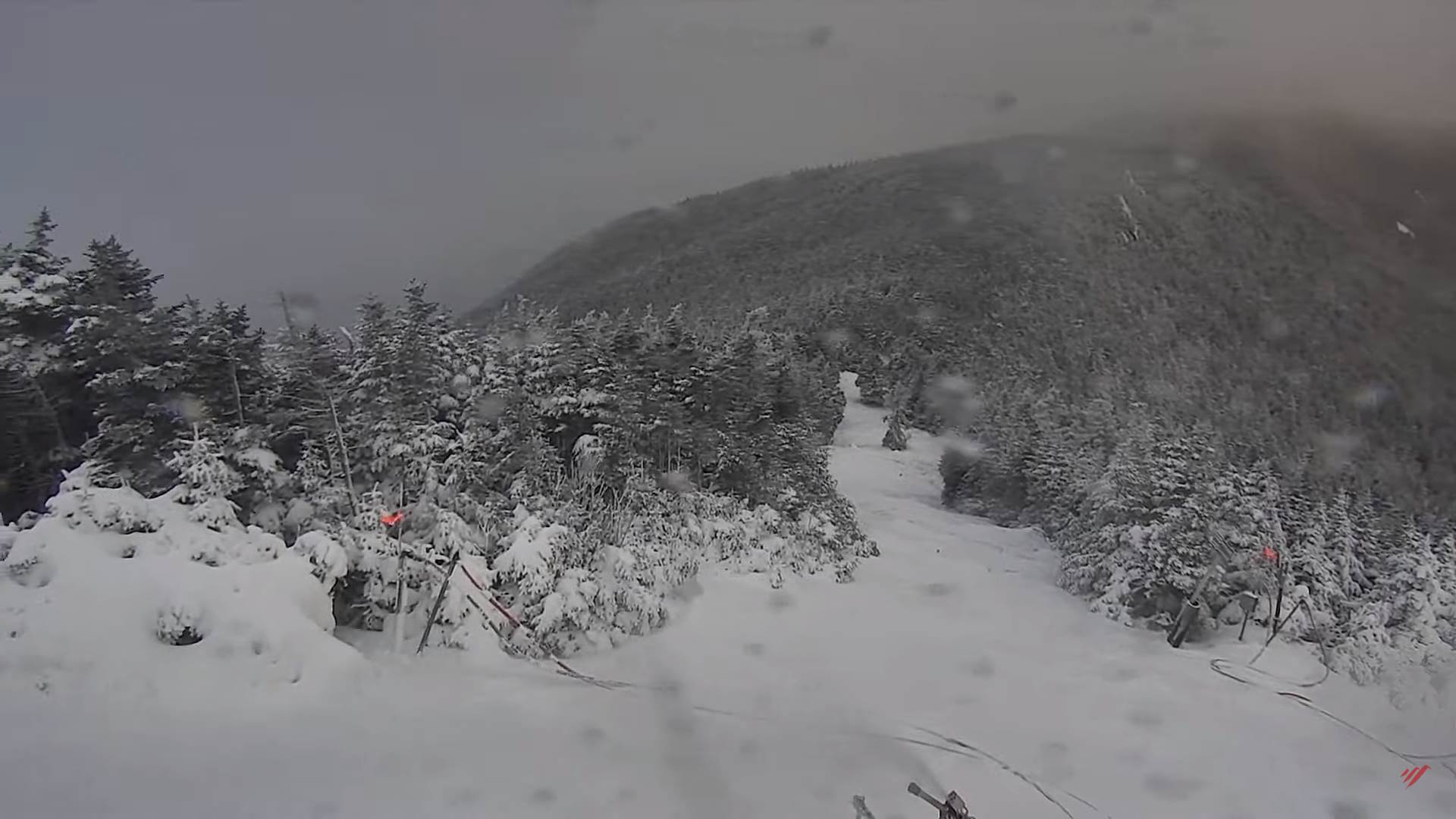
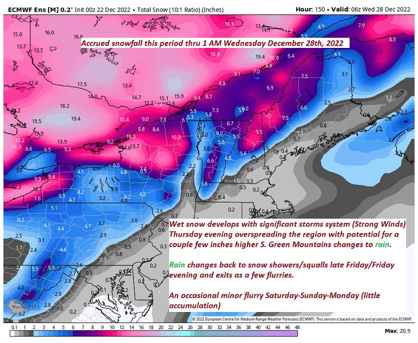
Winter Weather Advisory for elevated terrain of the southern Green Mountains
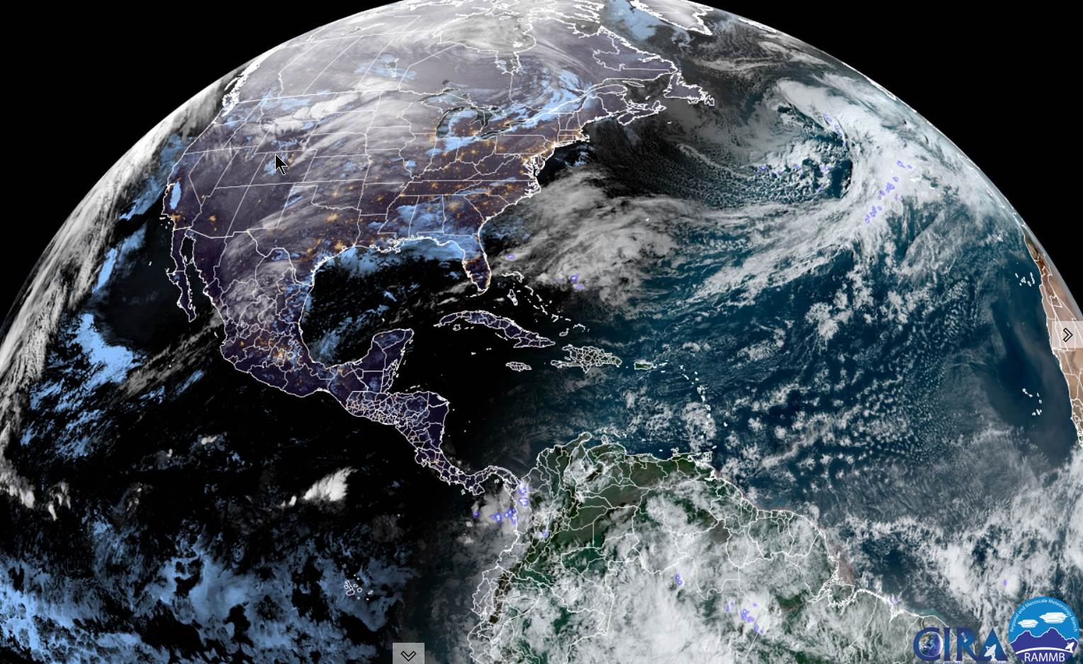
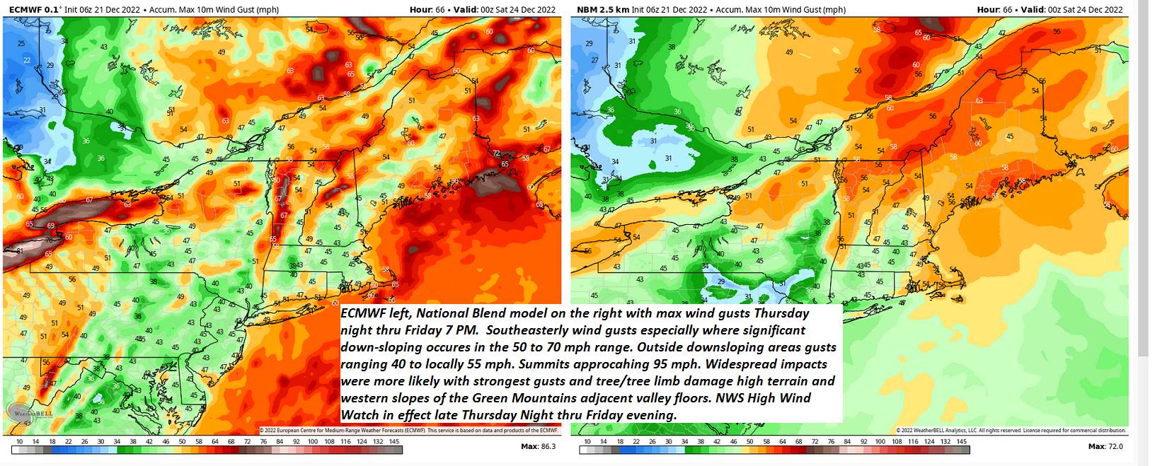
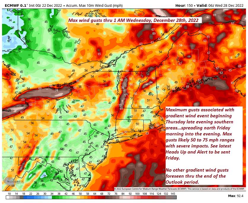
High Wind Warnings and Wind advisories starts tonight into Friday Evening…
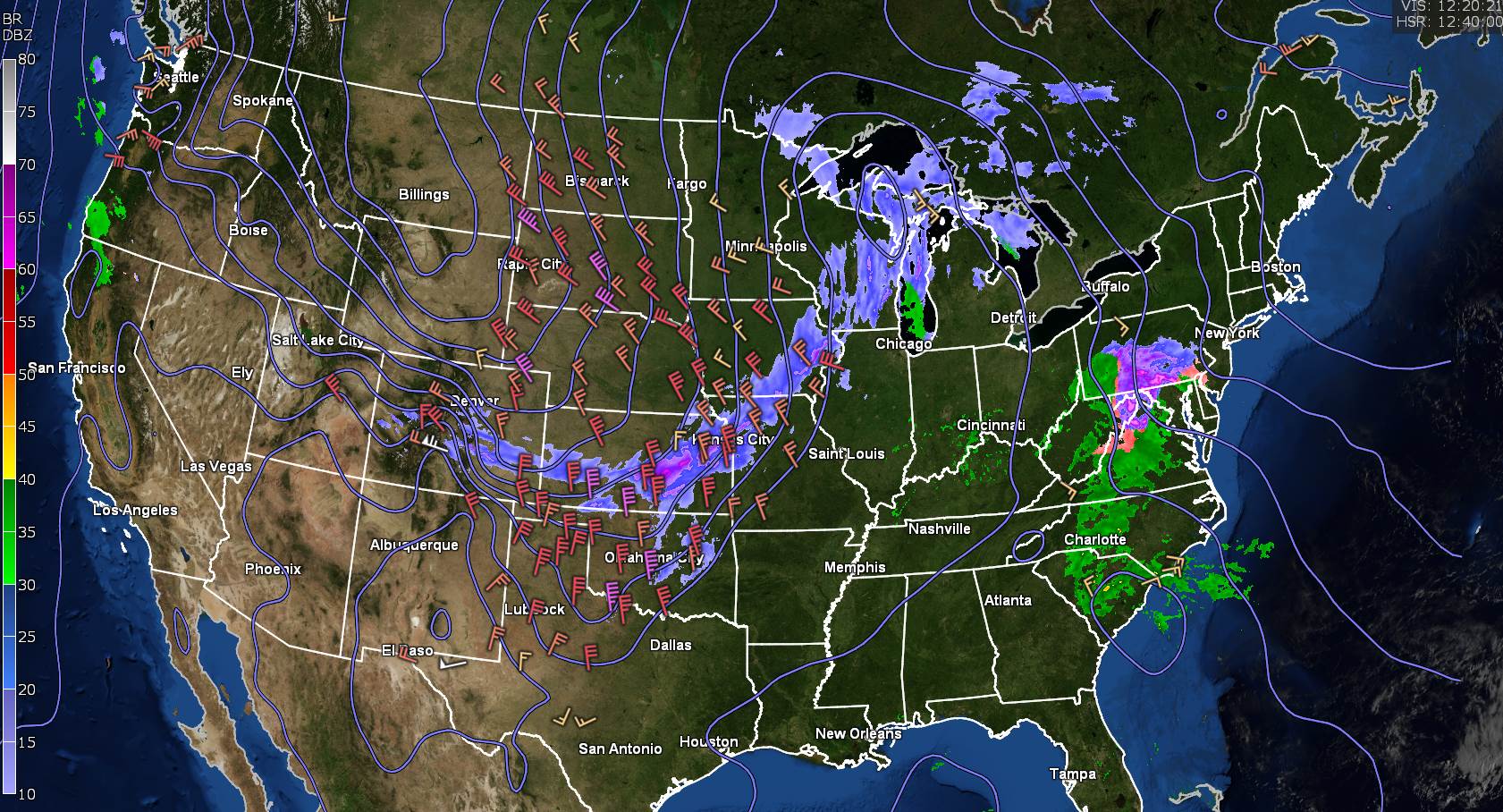
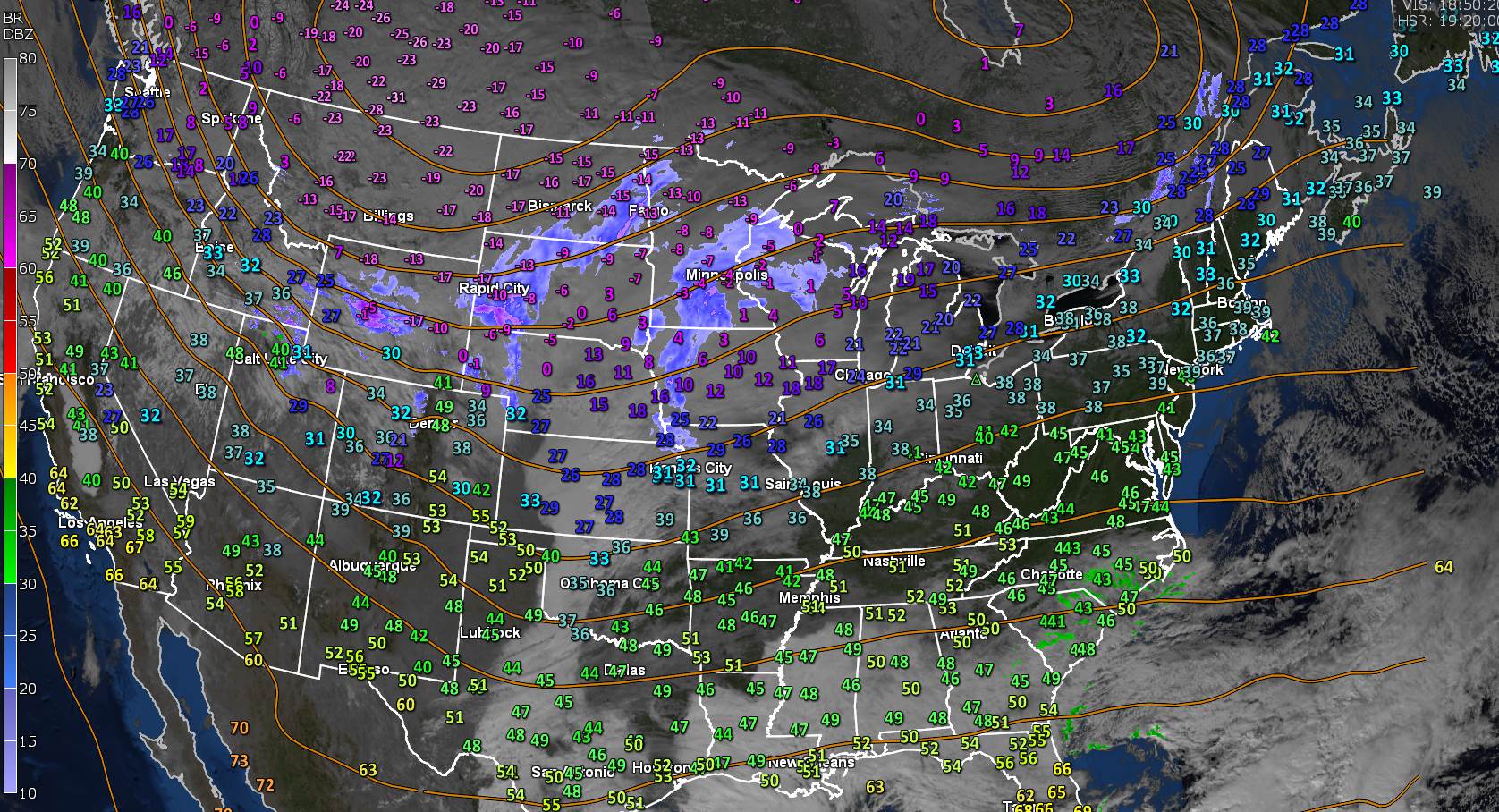
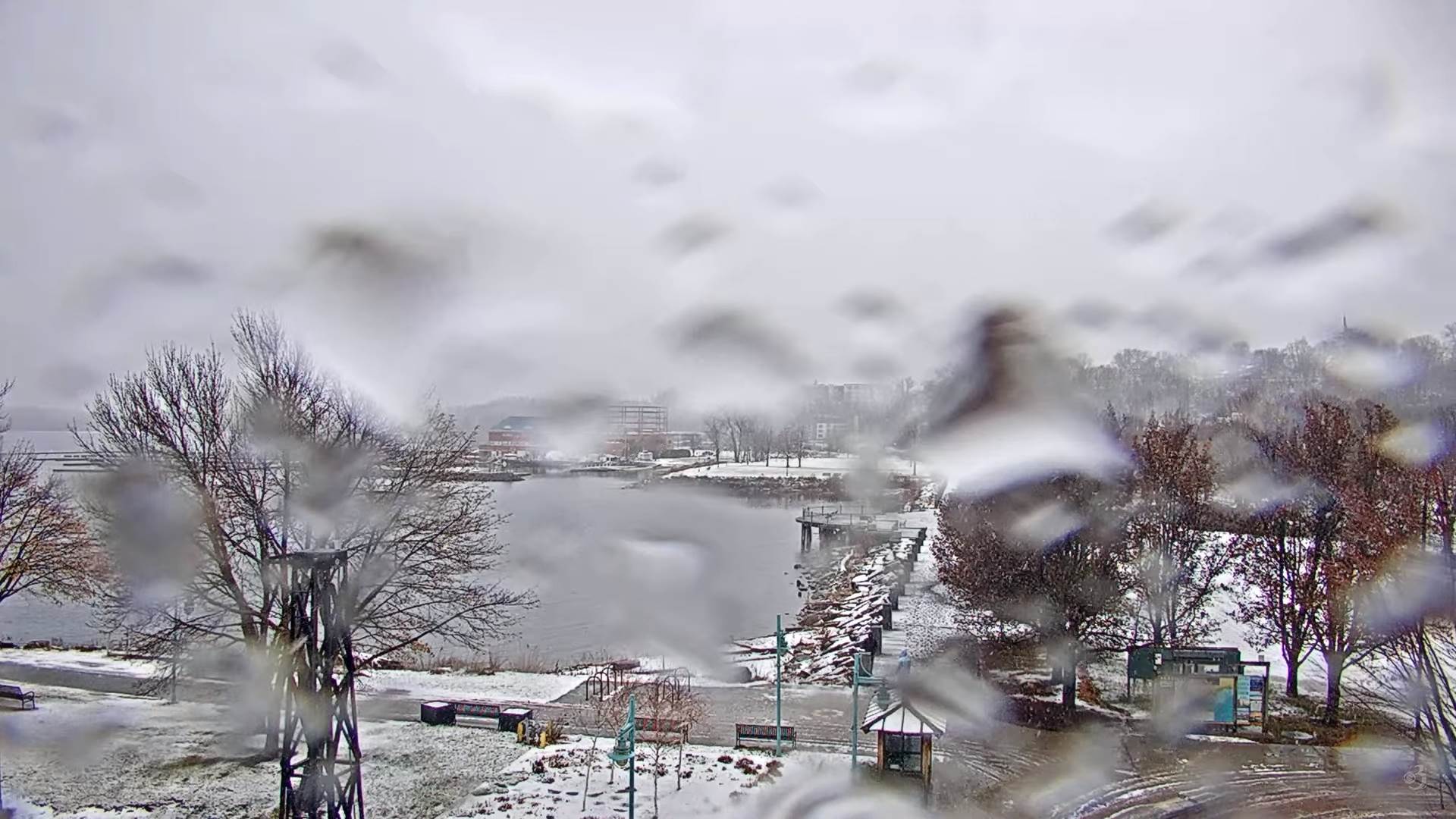
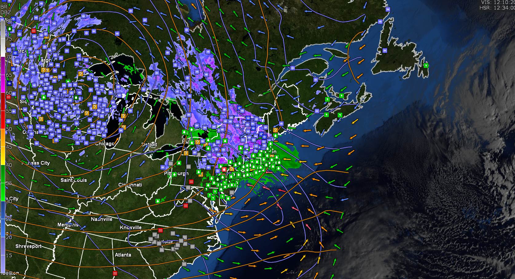
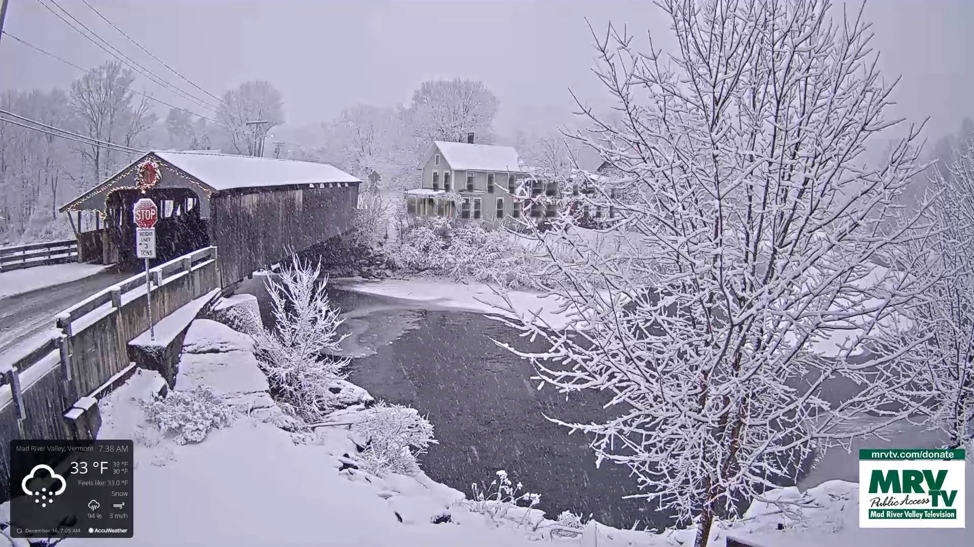
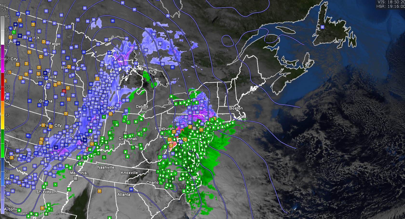
TONIGHT: Overcast. Periods of mixed wet snow, sleet and freezing rain with slick travel, except mainly rain western areas. Up to an inch sleet/wet snow east of the Greens. An evening low upper 20s around 30 warming into the 40s western Vermont. East to southeasterly winds developing 10 to 30 mph with gusts exceeding 50 mph near western slopes Green Mountains.
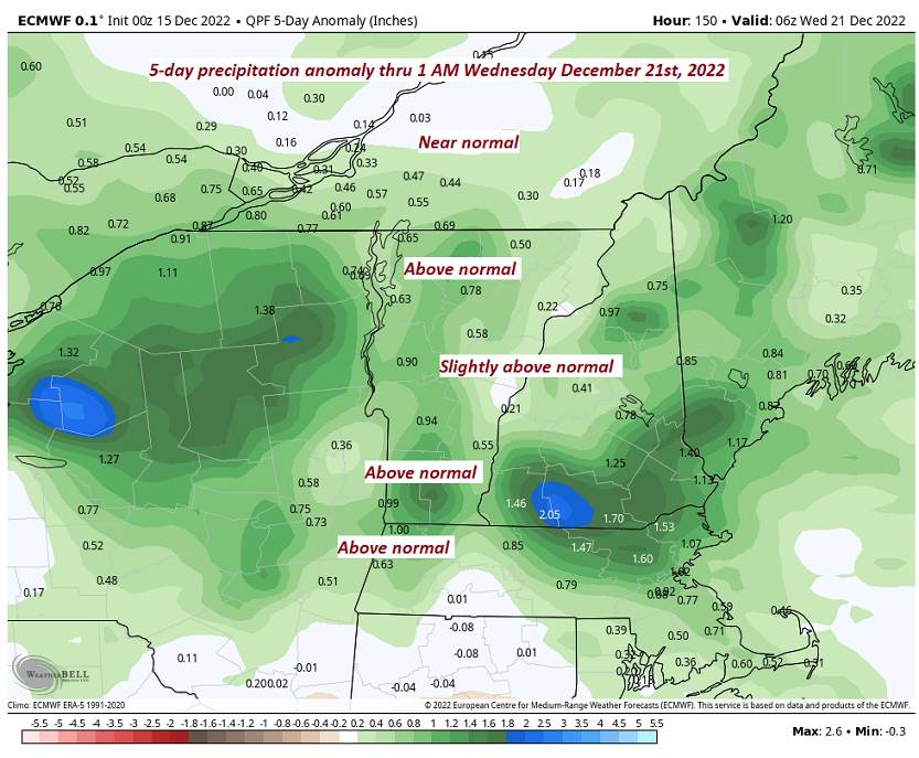
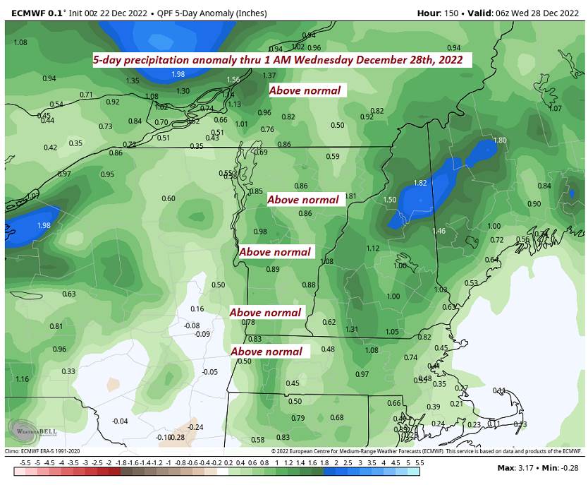
Flood Watch Friday afternoon thru Saturday evening
TOMORROW: Gray. Periods of wind-blown rain, or showers. Much milder. Temperatures peak upper 40s near 50. Southeasterly winds 15 to 30 mph with higher gusts western slopes of the Green Mountains exceeding 55 mph in the morning…decreasing some in the afternoon.
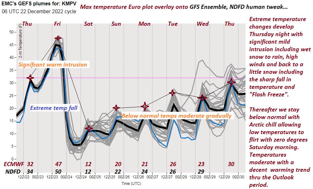
FRIDAY NIGHT: Mainly cloudy. Rain showers transitioning snow showers…moderate at times with some accumulation. Flash-Freeze and hazardous travel (black ice). A low around 5 above. Winds shifting to southwesterly 10 to 25 mph and gusty lowering wind chills.
SATURDAY: Lots of clouds but a few breaks of sunshine away from the mountains. A high 10 to 15. Southwest winds 10 to 20 mph.
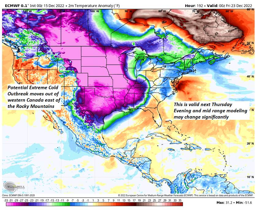
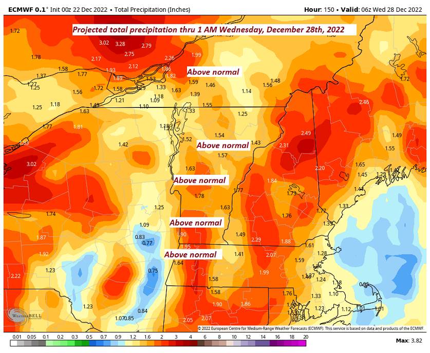
Looking Further Ahead…
SATURDAY NIGHT Christmas Eve: Lots of clouds. Chance for a brief flurry. A low 5 to 15.
SUNDAY Christmas Day: Mostly cloudy. Maybe a northern border flurry. A high around 20.
MONDAY: Clouds mixing with intervals of sunshine. A few northern flurries. A low near 10. A high 20 to 25.
TUESDAY: Partly to mostly cloudy. Maybe a flurry. A low in the single digits. A high in the 20s.
Average lows upper single digits to mid-teens. Average highs mid-20s to mid-30s
Climatological winter peaks approx. January 22nd ends March 9th…
RH/12-21forecast][end]