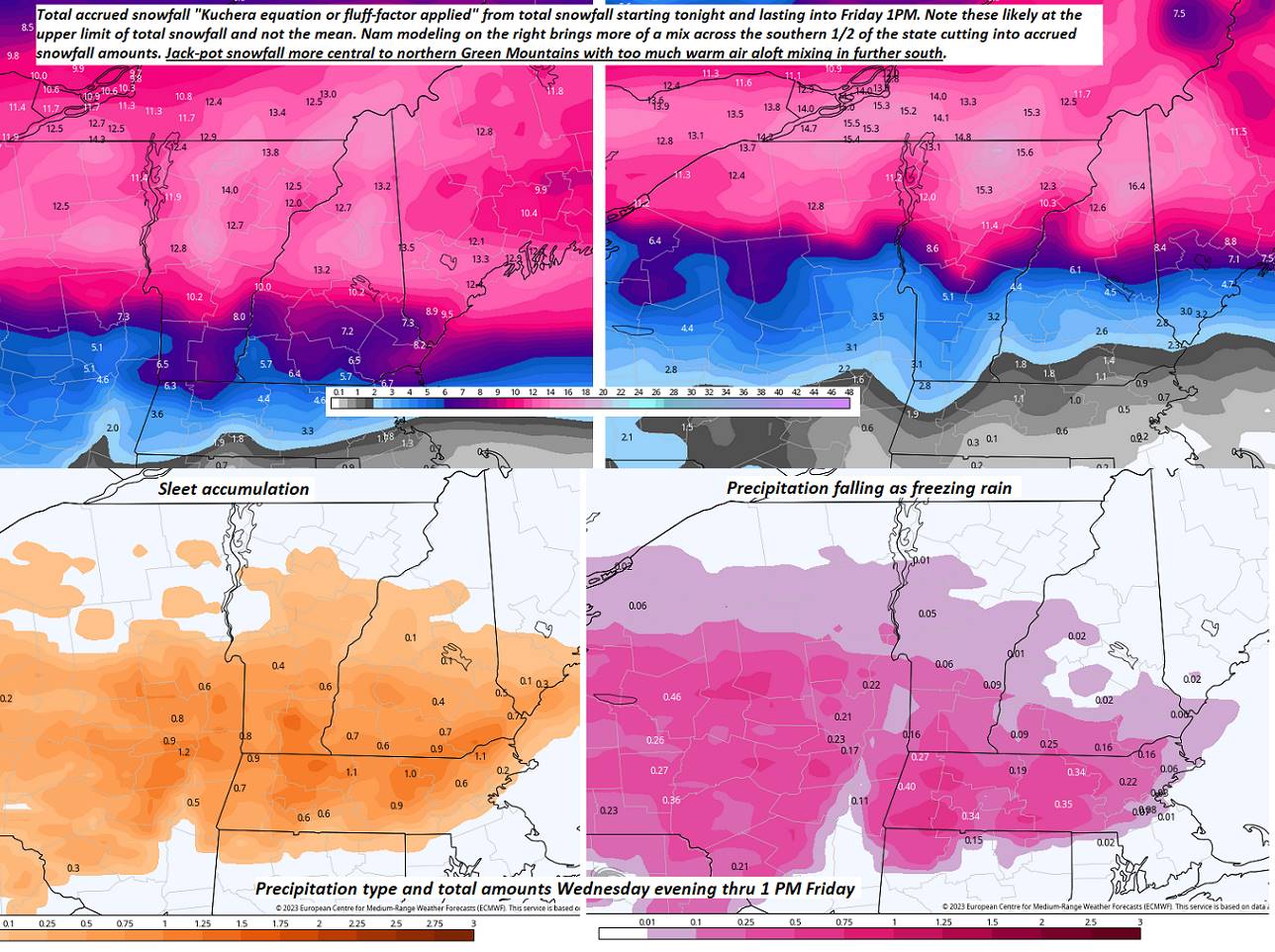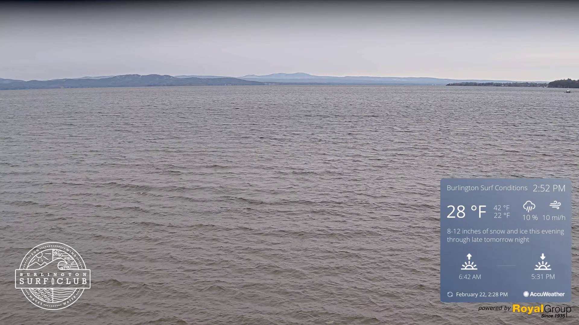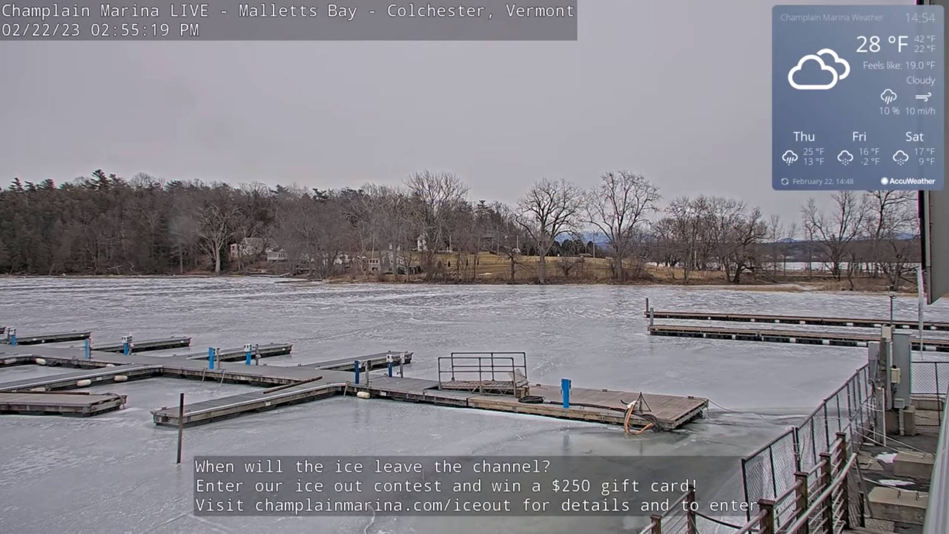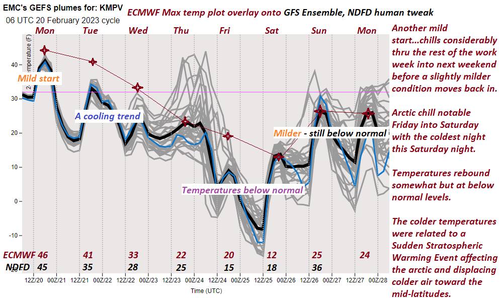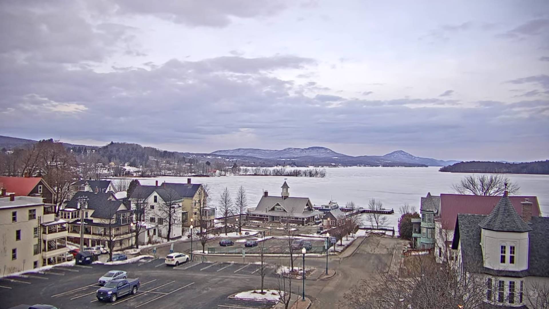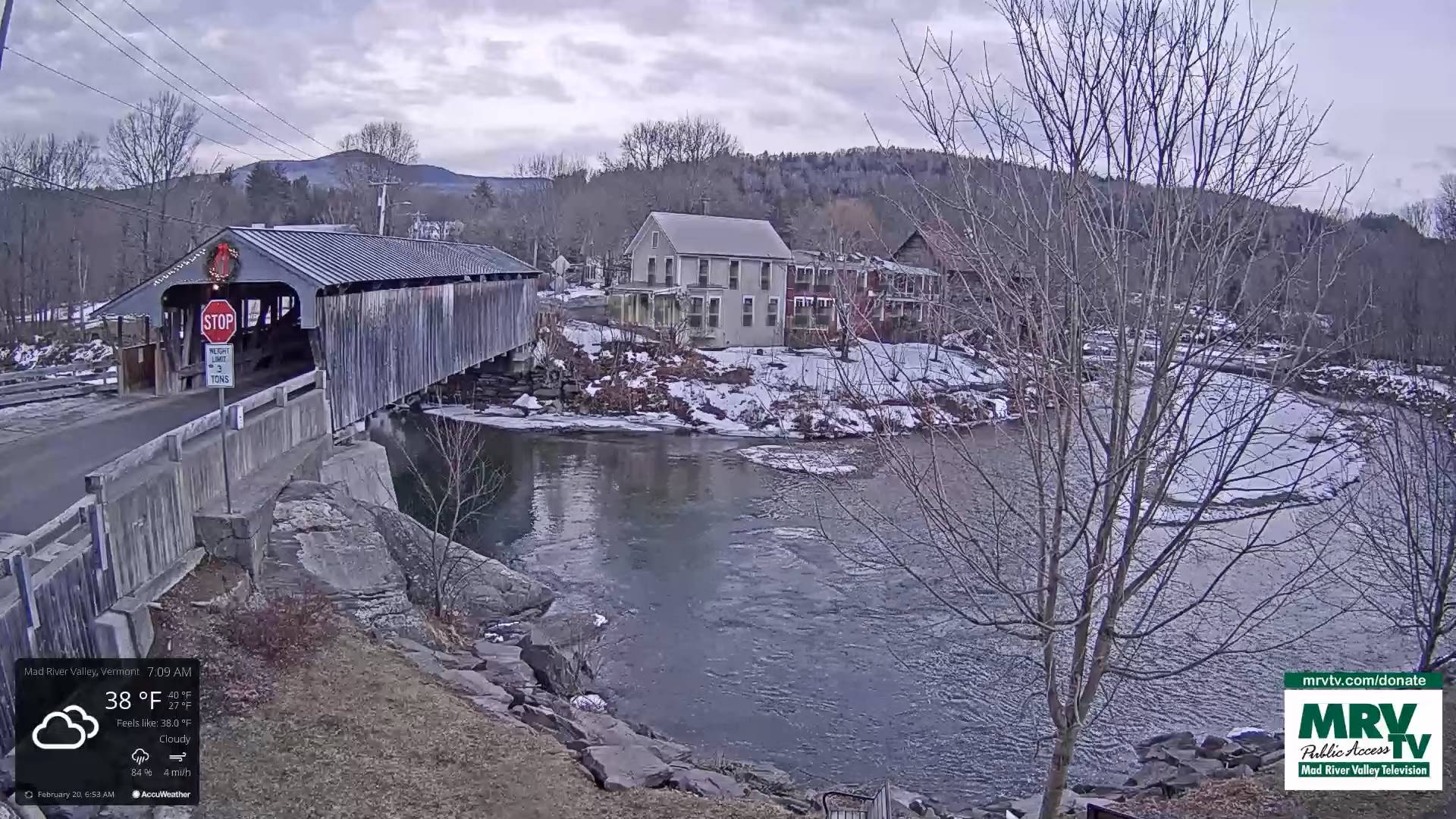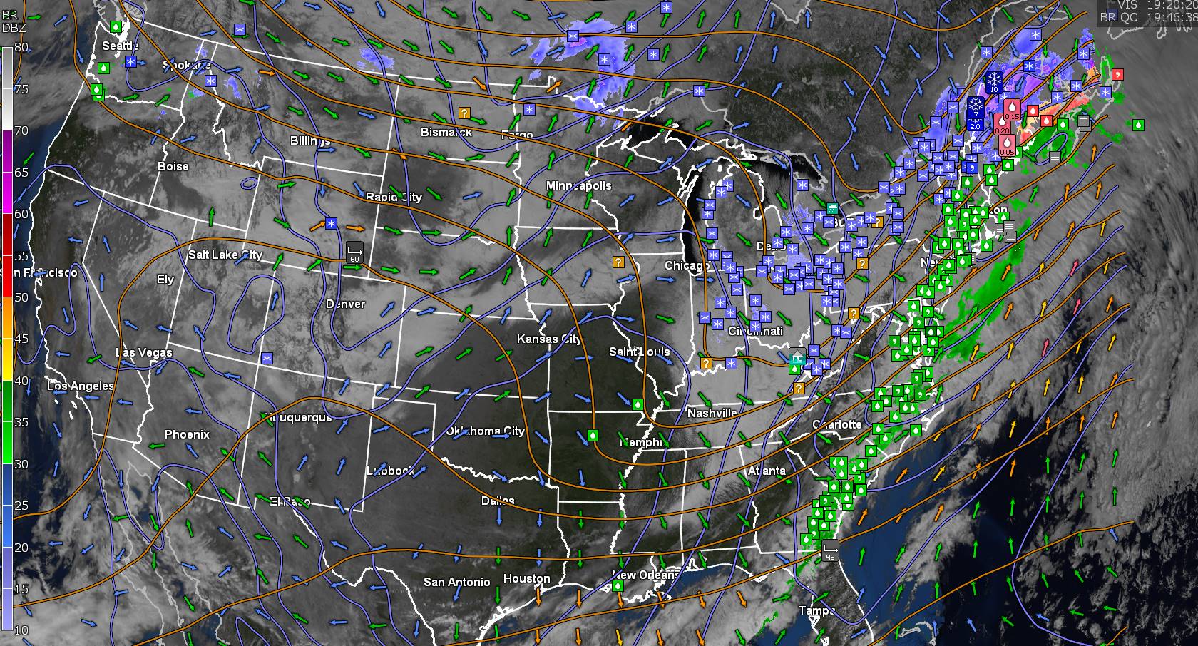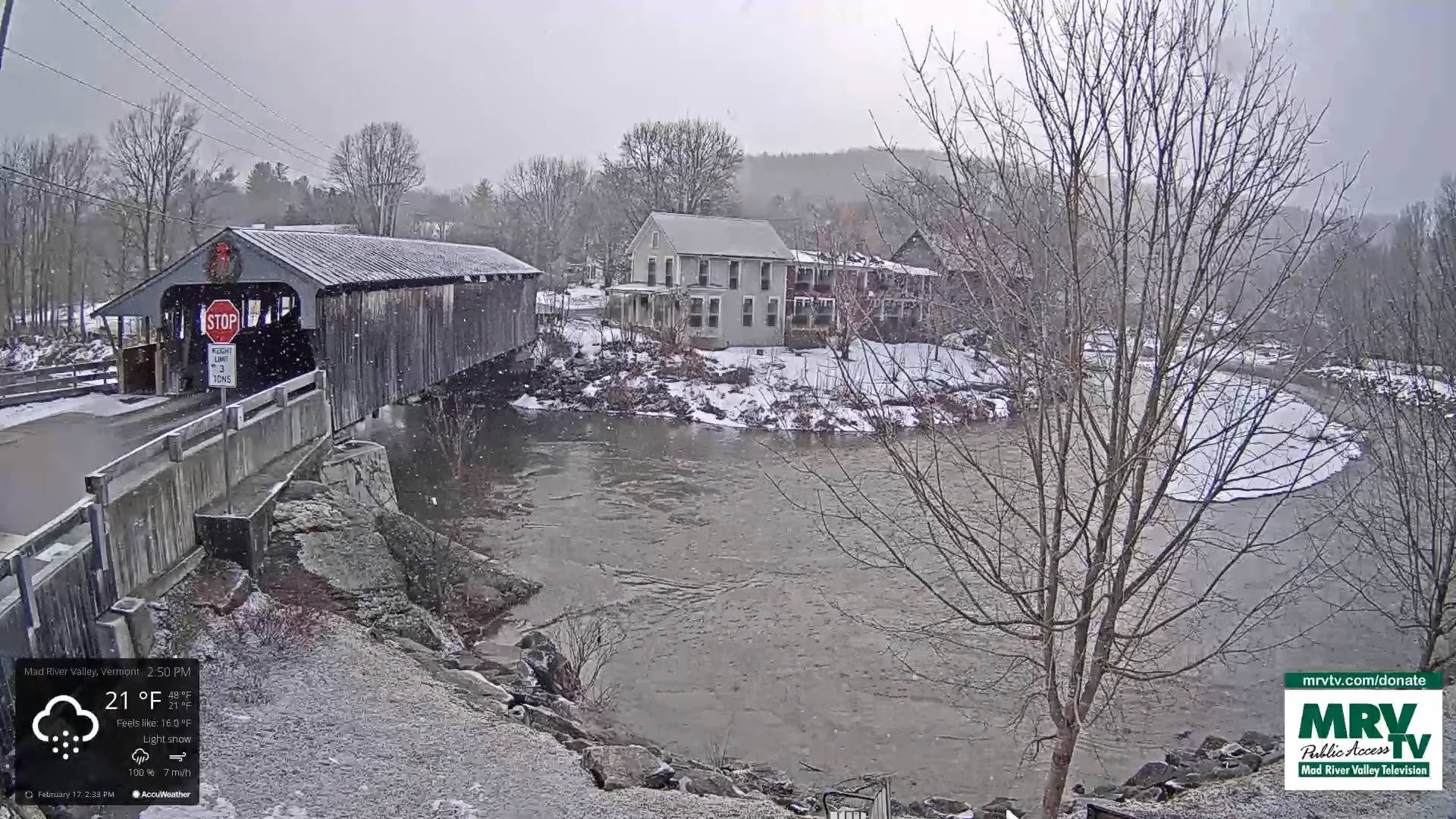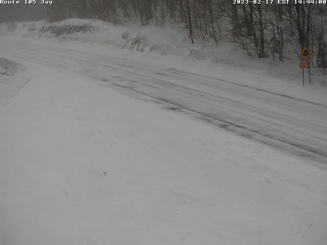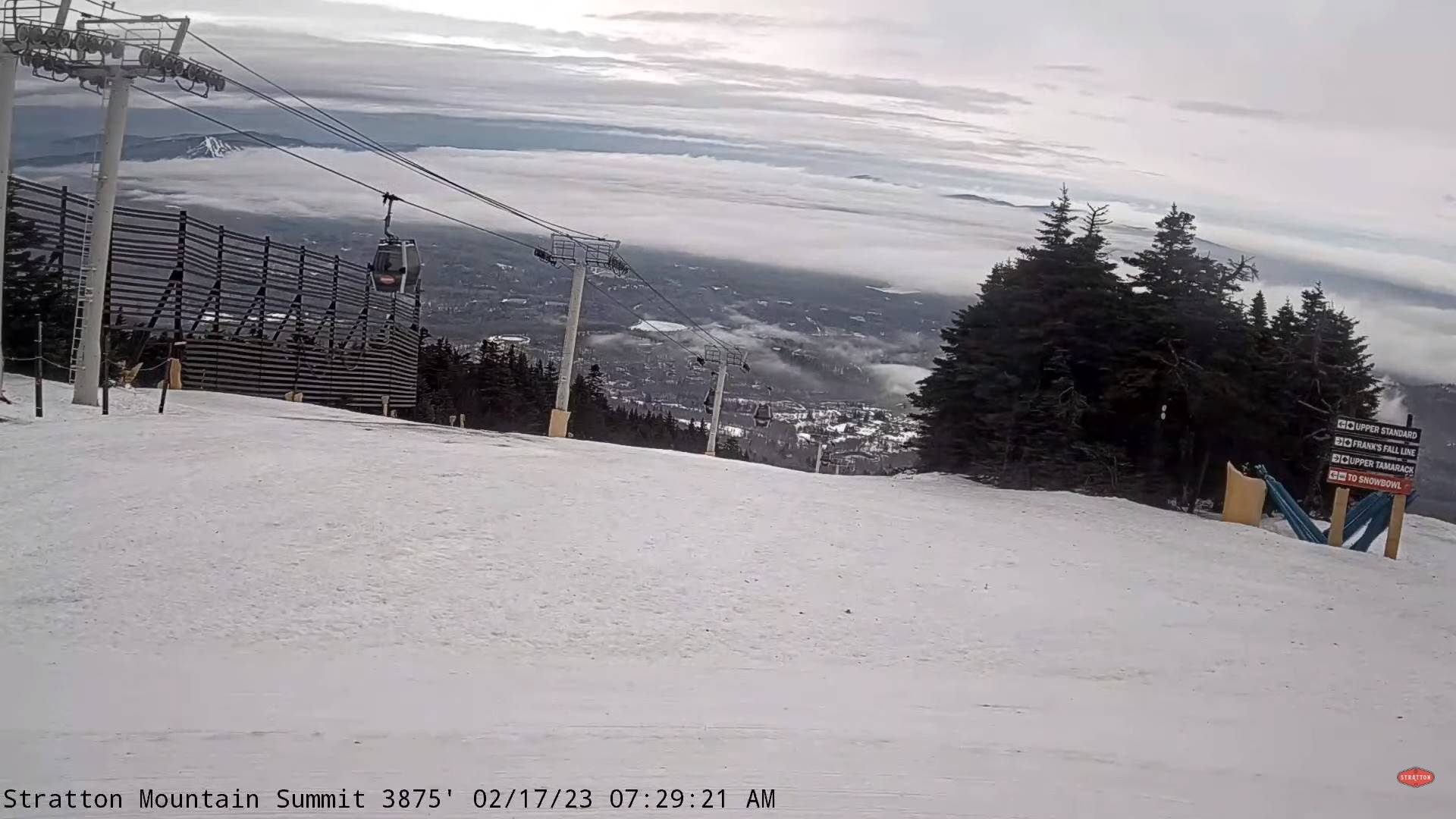
TONIGHT: Cloudy. A period of light accumulating snow of wintry mix redevelops early… Accumulation 1 to 3 inches most northern areas.Lows about 5 to 15 northern and in the 20s southern Vermont. Light west to southwest winds.
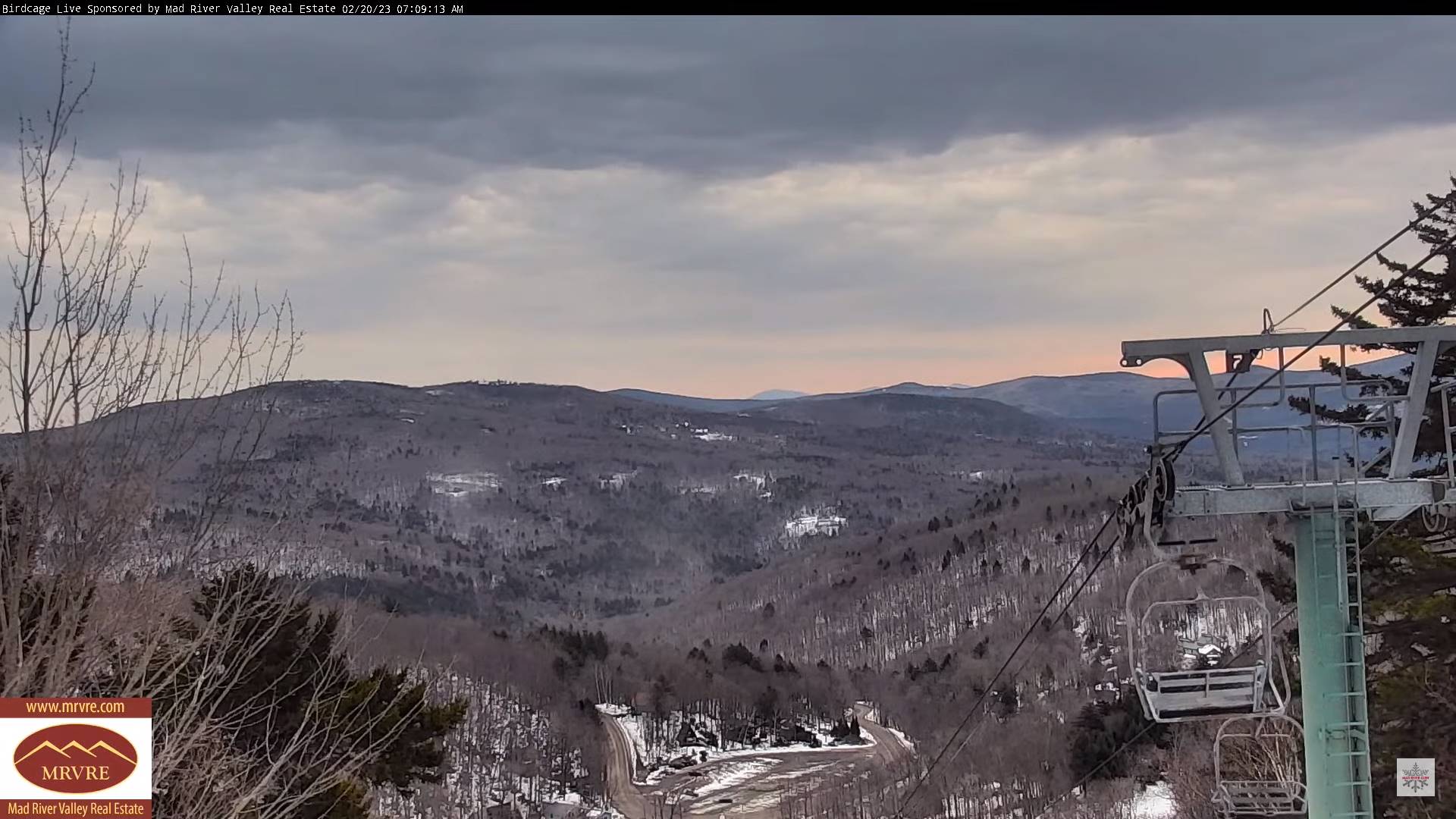
TOMORROW: Mountain snow showers and valley flurries exiting in the afternoon just a light coating. Mostly cloudy.Blustery to windy and colder. A high about 10 to 15 with lowered wind chills. Northwest winds 10 to 20 mph with possible blowing and drifting.
FRIDAY NIGHT: Clear and frigid. A low ranging from 5 to 15 below zero. Light northwest winds.
SATURDAY: Filtered sunshine gives way to thickening clouds with a rising chance for scattered snow showers or flurries with limited accumulation.Frigid.A high in the low to mid-teens. Little wind.
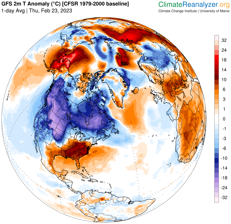
Looking further ahead
SATURDAY NIGHT: Variable cloudiness. Frigid. A low 10 below to 5 above.
SUNDAY: Mainly cloudy. Chance for fluffy snow showers & flurries. A dusting to an inch. A high 25 to 30.
MONDAY: Morning clouds, give way to filtered sunshine. A low zero to 10 above. A high around 30.
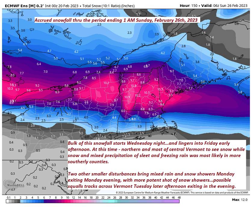
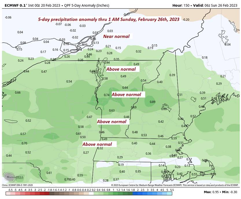
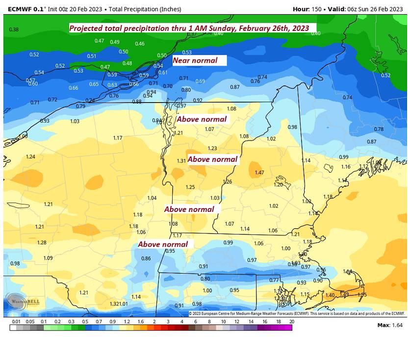
TUESDAY: Overcast. Chance for snow or mixed precipitation…possibly a few to several inches. A low around 20. A high 30 to 32.
WEDNESDAY: Mainly cloudy. Chance for lingering snow or mixed precipitation with some accumulation. A low in the teens. A high around 30.
Average lows upper single digits to mid-teens. Average highs in the low to mid-30s.
Climatological winter ends March 9th… Vernal equinox March 20th as we start spring
RH/2-23 forecast][end]