Updated Thursday Evening Forecast — March 9th, 2023

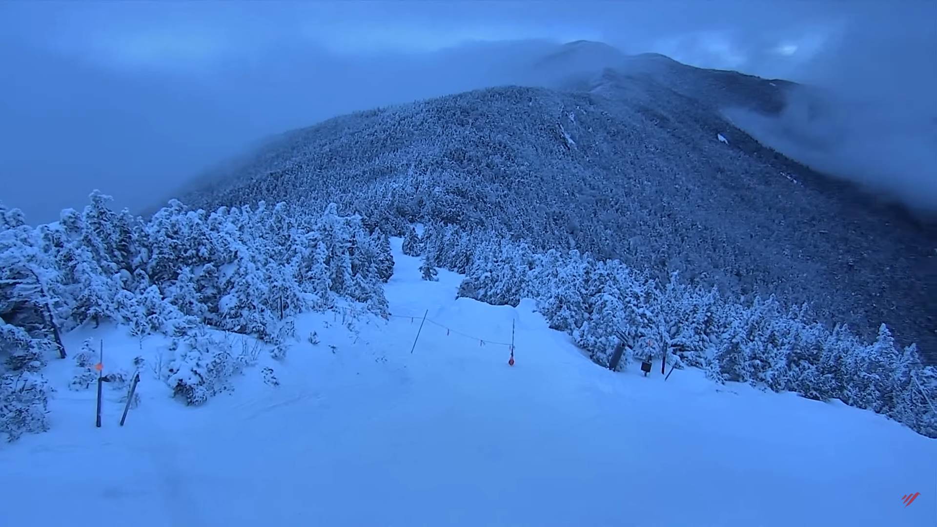
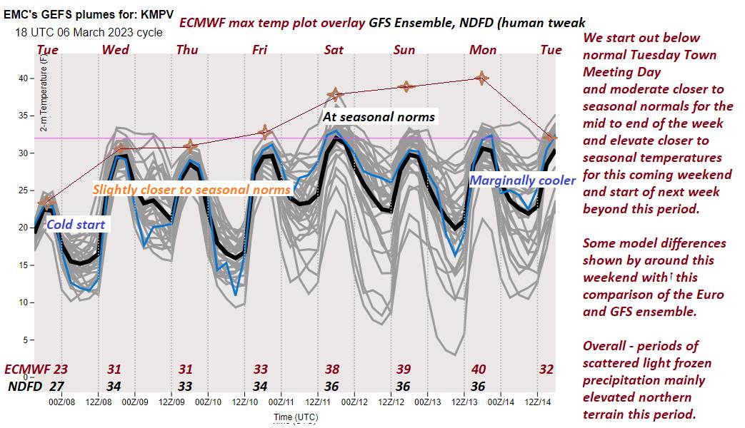
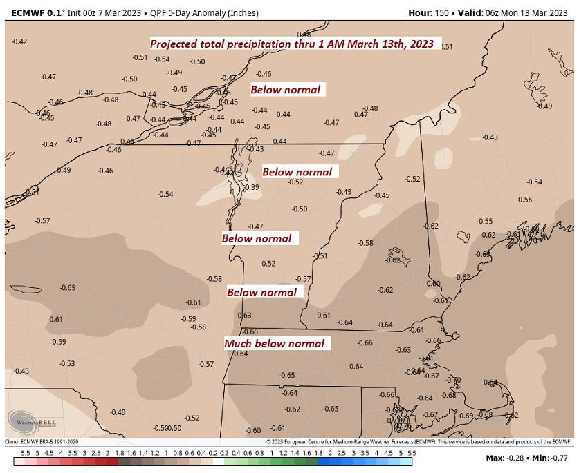
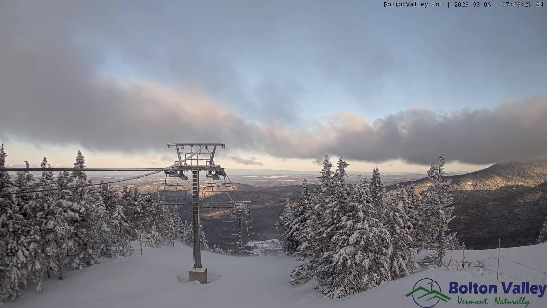
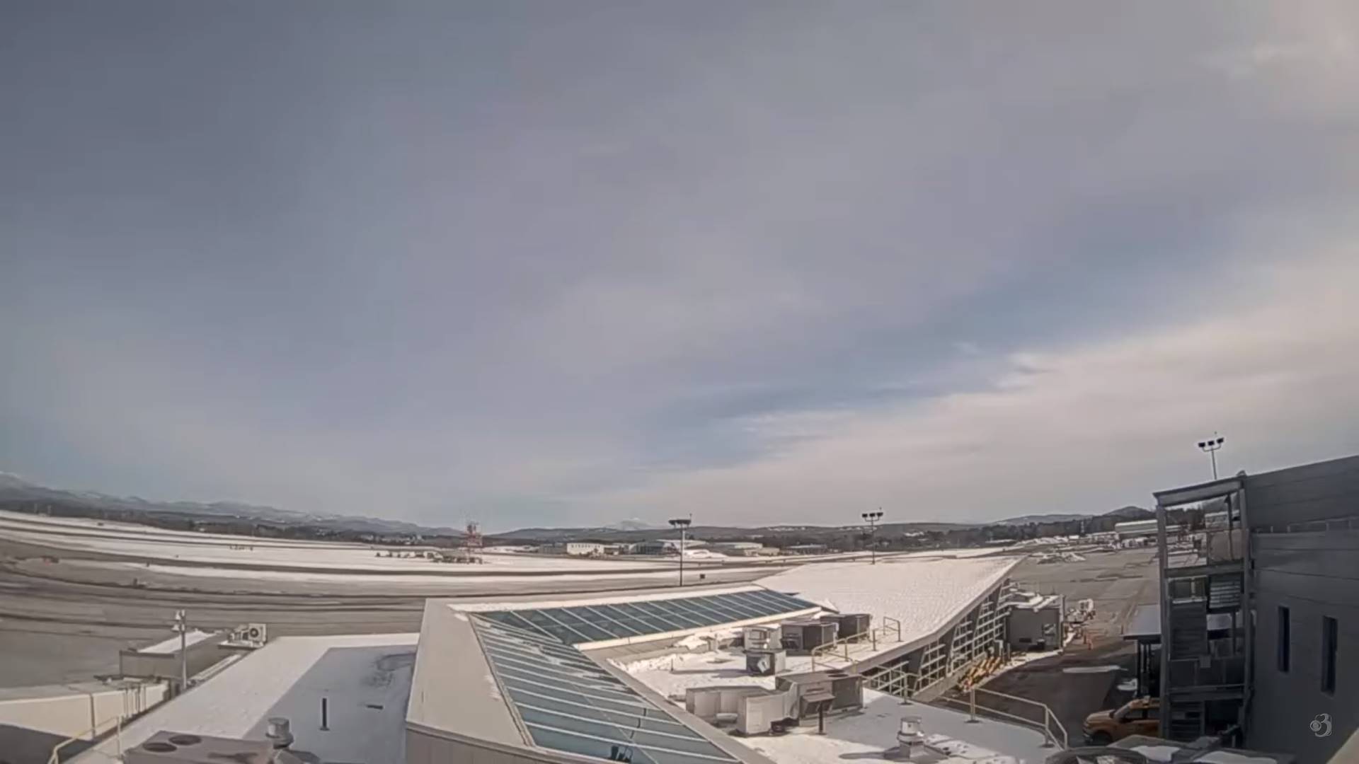
TONIGHT: A stray flurry near the Quebec border area. Otherwise mostly cloudy. A low ranging upper-teens to mid-20s. Light northwest winds.

TOMORROW: Variably cloudy. A high in the mid to upper 30s. Light north winds.

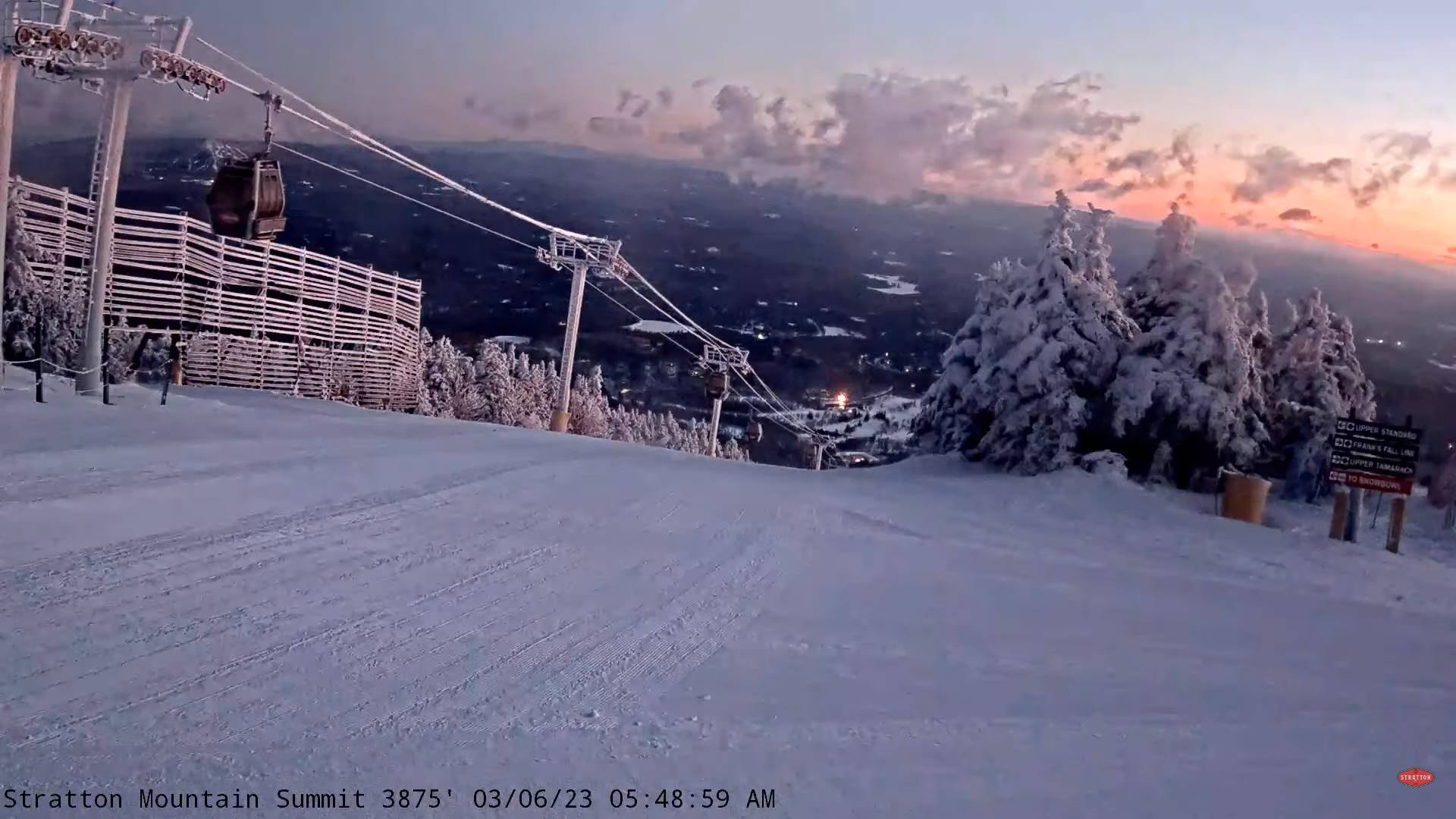
FRIDAY NIGHT: Considerable cloudiness. A low upper teens to mid-20s. Light northeast winds.

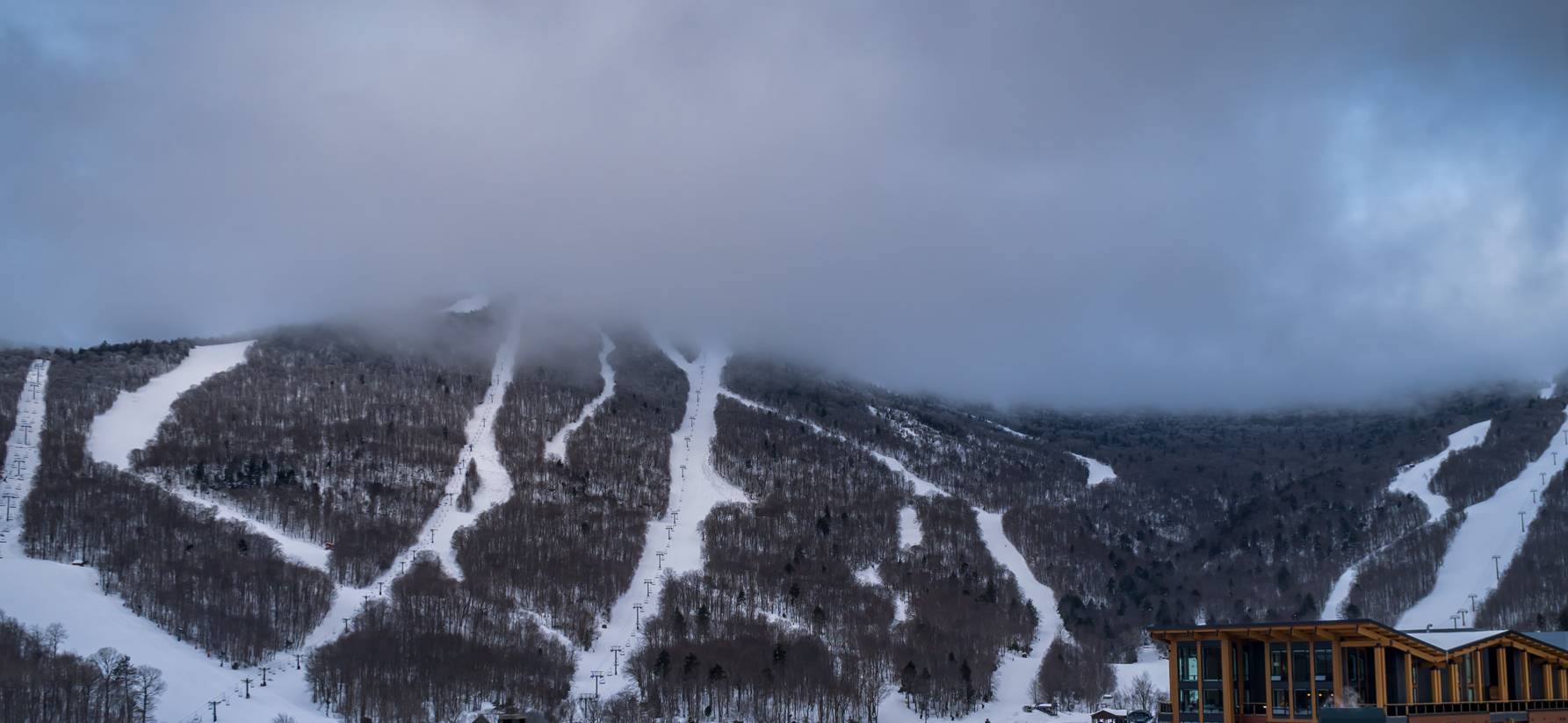
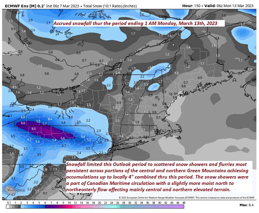
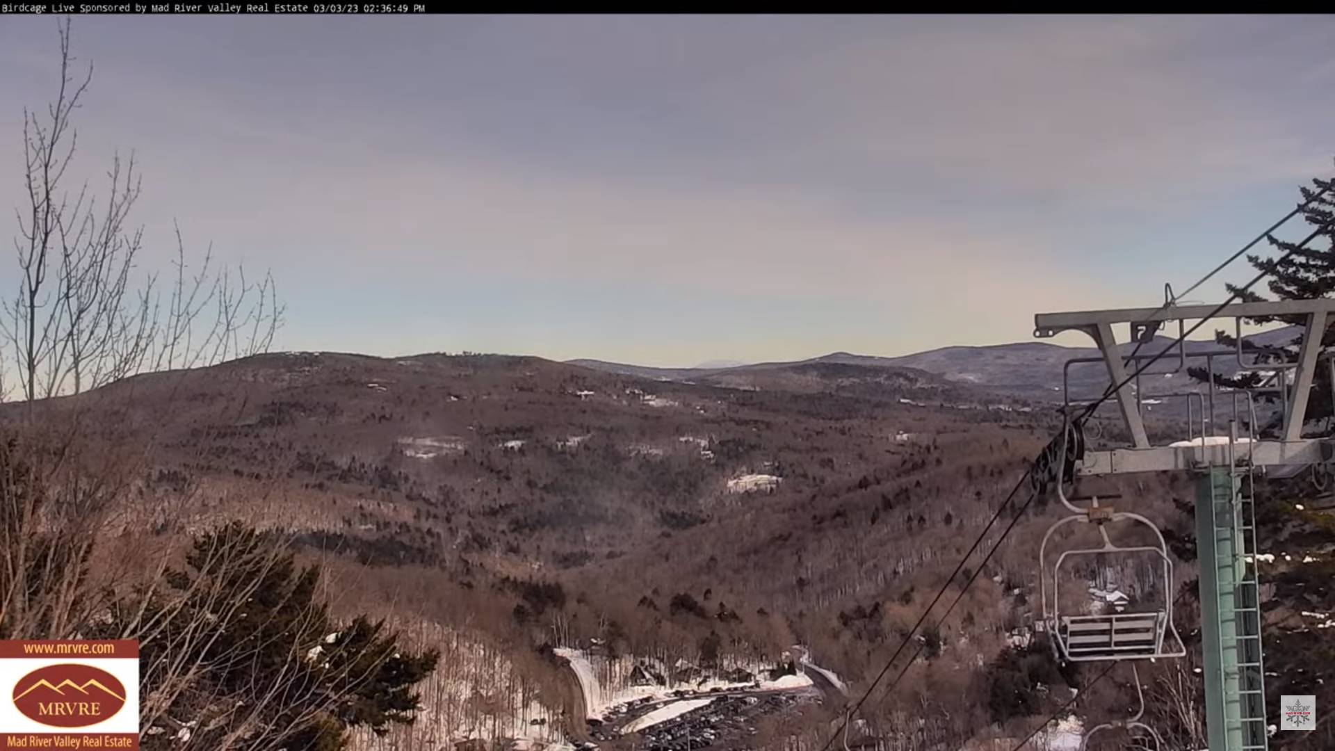
SATURDAY: Mostly cloudy, few flurries far southern areas, then filtered sunshine thru high clouds in the afternoon. A high in the upper 30s to near 40. (Sap run). Winds light and northeasterly.

Looking further ahead

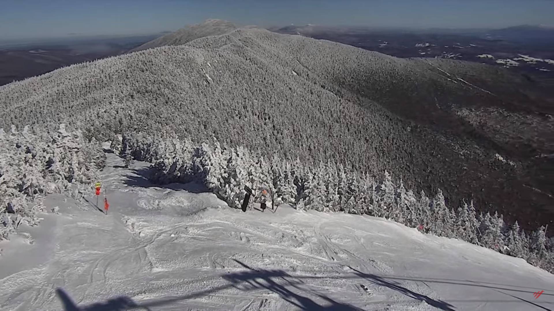
SATURDAY NIGHT: Clearing and partially moonlit. A low in the upper single digits to mid-teens.

SUNDAY: A beauty & milder. Sunshine and blue skies with a few high clouds in the afternoon. A high in the low to mid 40s. (Sap run).

MONDAY: Cloudy. Rising chance for periods of wet snow developing toward dark southern areas. A low around 25. A high in the upper 30s.

TUESDAY: Overcast. Chance for snow, possibly moderate at times southern areas with lighter accumulations north. A low upper 20s to around 30. A high near 35.

WEDNESDAY: Gray skies. Chance for lingering snow showers/flurries. A low 25 to 30. A high near 35.

Average lows in the teens. Average highs mid-30s to around 40.

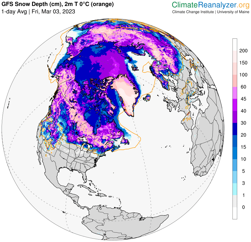
Climatological winter ends this evening…we start spring going forward. Vernal Equinox March 20th

RH/3-8 forecast][end]

Updated Thursday Morning Forecast — March 9th, 2023

TODAY: Cloudy. Chance for a few flurries northern tier this morning and late in the day. A high near 35. Northwest winds 10 mph.

TONIGHT: A few flurries with a dusting far northern areas. Otherwise, lots of clouds. A low ranging mid-teens to mid-20s. Light northwest winds.

FRIDAY: Variably cloudy but dry. A high mid to upper 30s. Light north to northeast winds.

Looking further ahead

FRIDAY NIGHT: Partly cloudy. A low 15 to 20.

SATURDAY: Variable morning clouds with a few stray flurries far southern areas, then filtered sunshine in the afternoon. A high in the upper 30s. (Sap run)

SUNDAY: A beauty. Sunshine predominates. Some high clouds in the afternoon. A low in the teens. A high 40 to 45. (Sap run).

MONDAY: Cloudy. Rising chance for periods of wet snow developing in the afternoon. Some accumulation mainly southern areas. A low around 25. A high 35 to 40.

TUESDAY: Overcast. Chance for snow, possibly moderate to heavy at times especially central and southern areas. A low around 30. A high 32 to 35.

WEDNESDAY: Gray skies. Chance for linger snow showers/flurries. A low mid-20s to near 30. A high 32 to 35.

Average lows in the teens. Average highs mid-30s to around 40.

Climatological winter ends Today… Vernal equinox March 20th as we start spring

RH/3-8 forecast][end]

Updated Wednesday Evening Forecast — March 8th, 2023

TONIGHT: Lots of clouds. Scattered flurries and mountain snow showers flare-up slightly this evening. A dusting to less than an inch northern areas. A low in the low to mid 20s. Light northwest winds.

Approximate climatological winter ends tomorrow March 9th

TOMORROW: Mostly cloudy. Scattered flurries lingering, little more than a dusting. A high 30 to 35. Northwest winds 10 mph.

THURSDAY NIGHT: A few flurries with a dusting far northern areas. Otherwise, lots of clouds. A low ranging mid-teens to mid-20s. Little wind.

FRIDAY: Variably cloudy but dry. A high mid to upper 30s. Light north winds.

Looking further ahead

FRIDAY NIGHT: Partly cloudy. A low 15 to 20.

SATURDAY: Filtered sunshine, then increasing sunshine. A high upper 30s near 40. (Sap run)

SUNDAY: A beauty. Sunshine predominates. Some high clouds in the afternoon. A low in the teens. A high in the lower 40s. (Sap run).

MONDAY: Cloudy. Chance for periods of snow developing mainly in the afternoon. A low in the teens. A high near 35.

Average lows in the teens. Average highs mid-30s to around 40.

Climatological winter ends March 9th… Vernal equinox March 20th as we start spring

RH/3-8 forecast][end]

Updated Wednesday Morning Forecast — March 8th, 2023

TODAY: Cloudy with breaks of sun eastern valleys. Widely scattered flurries northern areas with a dusting this morning. A high near 35 Northwest winds 10 mph in the afternoon.

TONIGHT: Lots of clouds. Scattered flurries and mountain snow showers a dusting to less than an inch northern areas. A low 20 to 25. Light northwest winds.

THURSDAY: Mostly cloudy. Scattered flurries lingering, little more than a dusting accumulation. A high 32 to 35. Northwest winds 10 mph.

Looking further ahead

THURSDAY NIGHT: Evening cloudiness with a few stray flurries a dusting far northern areas. Partial clearing develops overnight. A low upper teens to low-20s.

FRIDAY: Variably cloudy but dry. A high around 35.

SATURDAY: Filtered sun in the morning then clearing to mostly sunny skies. A low 15 to 20. A high pushing to near 40. (Sap run)

SUNDAY: A beauty. Bright sunshine and a little milder with few more high clouds late. A low in the teens. A high upper 30s to lower 40s. (Sap run).

MONDAY: Cloudy. Chance for snow or snow showers…developing in the afternoon. A low in the teens. A high near 35.

Average lows in the teens. Average highs mid-30s to around 40.

Climatological winter ends March 9th… Vernal equinox March 20th as we start spring

RH/3-7 forecast][end]

Updated Tuesday Evening Forecast — March 7th, Town Meeting Day, 2023

TONIGHT: Cloudy. Scattered snow showers or flurries continue with light coatings up to 2 inches near the Greens. A low upper teens to mid-20s. Light northwest winds.

TOMORROW: Considerable cloudiness. Scattered flurries drying up in the afternoon. A dusting northern areas. A high in the lower 30s. Northwest winds 10 mph in the afternoon.

WEDNESDAY NIGHT: Lots of clouds. Scattered flurries northern areas redevelop with a dusting in spots. A low 20 to 25. Light northwest winds.

THURSDAY: Mostly cloudy. Scattered flurries lingering, little more than a dusting accumulation. A high near 32. Northwest winds 10 mph.

Looking further ahead

THURSDAY NIGHT: Evening cloudiness with a few stray flurries, gives way to partial clearing. A low upper teens to low-20s.

FRIDAY: Mixed sun and clouds. A high around 35

SATURDAY: Filtered sunshine thru high clouds. A low 15 to 20. A high in the mid and possibly upper 30s.

SUNDAY: A beauty. Bright sunshine and a little milder. A low in the teens. A high 35 to 40. (Possible sap run).

MONDAY: Cloudy. Chance for snow or snow showers…possibly significant. A low in the teens. A high near 32.

Average lows in the teens. Average highs mid-30s to around 40.

Climatological winter ends March 9th… Vernal equinox March 20th as we start spring

RH/3-7 forecast][end]

Updated Tuesday Town Meeting Day Forecast — March 7th, 2023

Full Worm Moon 7:40 AM

TODAY: Lots of clouds.Scattered light mountain snow showers and valley flurries developing mainly northern areas, with light snow coating in spots.Colder.A high in the mid to upper 20s.Northwest winds 10 to 15 mph.

TONIGHT: Cloudy. Scattered snow showers or flurries continue with light coatings up to 2 inches near the Greens. A low 20 to 25. Light northwest winds.

WEDNESDAY: Considerable cloudiness. Scattered flurries drying up in the afternoon. A dusting northern areas. A high 32 to 35. Northwest winds 10 mph in the afternoon.

Looking further ahead

WEDNESDAY NIGHT: Lots of clouds. Scattered flurries northern areas redevelop with a dusting in spots. A low in the mid-20s.

THURSDAY: Mostly cloudy. Scattered flurries lingering, little more than a dusting accumulation. A high 32 to 35

FRIDAY: Morning clouds then lots of sunshine in the afternoon. A low upper teens to mid-20s. A high around 35

SATURDAY: Sunshine becoming filtered thru high cloudiness. A low upper single digits to upper teens. A high in the mid-30s.

SUNDAY: Mostly sunny with a few high clouds. A low in the teens. Just a little milder. A high in the mid to upper 30 (possible sap run).

Average lows in the teens. Average highs mid-30s to around 40.

Climatological winter ends March 9th… Vernal equinox March 20th as we start spring

RH/3-7 forecast][end]

Updated Monday Evening Forecast — March 6th, 2023

TONIGHT: Clear this evening, then partly cloudy overnight. A rising chance for flurries northern areas toward daybreak. A low 15 to 20.Northwest wind around 10 mph.

Full Worm Moon 7:40 AM

TOMORROW TOWN MEETING DAY: Mainly gray.Widely scattered snow showers & flurries. A light coating of accumulation in spots.Colder.A high mid to upper 20s.Northwest winds 10 to occasionally 20 mph.

TUESDAY NIGHT: Cloudy. Scattered snow showers or flurries continue with light coatings. A low upper teens to around 20. Light northwest winds.

WEDNESDAY: Considerable cloudiness. Scattered flurries drying up in the afternoon. A dusting northern areas. A high 32 to 35. Northwest winds 10 mph in the afternoon.

Looking further ahead

WEDNESDAY NIGHT: Lots of clouds. A low in the low to mid 20s.

THURSDAY: Mostly cloudy. Scattered flurries lingering, little accumulation. A high in the low 30s.

FRIDAY: Morning clouds then lots of sunshine in the afternoon. A low upper teens to mid-20s. A high around 35

SATURDAY: Sunshine becoming filtered thru high cloudiness. A low upper single digits to upper teens. A high 35 to 40. (Sap run).

SUNDAY: Mostly sunny with a few high clouds. A low in the teens. Milder. A high upper 30s to mid-40s (Sap run)

Average lows in the teens. Average highs mid-30s to around 40.

Climatological winter ends March 9th… Vernal equinox March 20th as we start spring

RH/3-6 forecast][end]

Updated Monday Morning Forecast — March 6th, 2023

TODAY: A beauty. Blue skies and bright early spring sunshine.A high around 35. Northwest winds 10 to 15 mph.

TONIGHT: Mostly clear this evening, more clouds developing northern areas. Slight chance for a flurry northern border areas late overnight. A low in the mid-teens to around 20.Light northwest winds.

Full Worm Moon 7:40 AM

TUESDAY TOWN MEETING DAY: Mainly gray.Scattered snow showers or flurries. A light coating in spots.A high in the mid to upper 20s.Northwest winds 10 to 20 mph.

Looking further ahead

TUESDAY NIGHT: Cloudy. Scattered snow showers or flurries continue with light coatings. A low upper teens to around 20.

WEDNESDAY: Considerable cloudiness. A few morning flurries with a dusting northern areas early. A high 30 to 35.

THURSDAY: Mostly cloudy. A few flurries lingering, little accumulation. A low mid to upper 20s. A high 30 to 35.

FRIDAY: Morning clouds then partly to mostly sunny in the afternoon. A low in the 20s. A high mid to upper 30s.

Average lows in the teens. Average highs mid-30s to around 40.

Climatological winter ends March 9th… Vernal equinox March 20th as we start spring

RH/3-6 forecast][end]

Updated Friday Evening Forecast — March 3rd, 2023

Winter Storm Warning 9 PM thru early Saturday evening…

TONIGHT: Overcast. Snow developing late this evening…moderate to briefly heavy at times overnight. Accumulation about 4 to 7” mixing with sleet far southern areas. A low around 25. Southeast winds ramping up 10 to 20 mph and gusty overnight.

TOMORROW: Gray. Accumulating snow…moderate at times early tapering scattered snow showers in the afternoon. Additional 3 to 6” accumulation with the most northern areas. A high about 32. East winds 10 to 15 mph gradually shifting to northeasterly.

SATURDAY NIGHT: Partly to mostly cloudy. Lingering flurries in the mountains with a dusting. Storm total snow accumulation about 5” to 11 inches most favoring northern areas. A low mid-teens to low 20s. Light winds.

SUNDAY: Isolated stray flurries early Champlain Valley. Mixed sun and clouds. Blustery at times. A high 32 to 35. Northwest winds 10 mph.

Looking further ahead

SUNDAY NIGHT: Becoming mostly clear. A low upper teens to low 20s.

MONDAY: Mostly sunny and a beauty. A high in the mid-30s.

TUESDAY: Gray. Chance for light accumulating snow showers/flurries, less than an inch. A low in the mid to upper teens. A high in the lower 30s.

WEDNESDAY: Clouds with a few breaks of sunshine. A low in the mid-20s. A high in the mid to upper 30s.

Average lows upper single digits to mid-teens. Average highs ranging thru the 30s.

Climatological winter ends March 9th… Vernal equinox March 20th as we start spring

RH/3-3 forecast][end]

Updated Friday Morning Forecast — March 3rd, 2023

TODAY: Morning sunshine gives way to high cloudiness thickening up late. A high in the mid-30s. Little wind.

Winter Storm Warning this evening thru Saturday evening…

TONIGHT: Overcast. Snow developing late this evening…moderate to briefly heavy at times overnight. Accumulation about 4 to 6” mixing with sleet far southern areas. A low around 25. Southeast winds 10 to 20 mph and gusty.

SATURDAY: Overcast. Accumulating snow…moderate at times early tapering scattered snow showers in the afternoon. Additional 2 to locally 4” accumulation with the most northern areas. A high about 32. East winds 10 to 15 mph gradually shifting to northeasterly.

Looking further ahead

SATURDAY NIGHT: Lingering mountain snow showers or flurries with a minor coating. Storm total snow accumulation about 5” to 11 inches most favoring northern areas. Otherwise mostly cloudy. A low 20 to 25.

SUNDAY: Isolated stray flurries early in the Champlain Valley. Mostly sunny & a bit blustery at times with more clouds later in the day. A high 32 to 35.

MONDAY: Mostly sunny and a beauty. A low 20 to 25. A high in the mid-30s.

TUESDAY: Gray. Chance for light accumulating wet snow showers. A low in the mid to upper teens. A high in the lower 30s.

WEDNESDAY: Clouds with a few breaks of sunshine. A low in the mid-20s. A high in the mid to upper 30s.

Average lows upper single digits to mid-teens. Average highs ranging thru the 30s.

Climatological winter ends March 9th… Vernal equinox March 20th as we start spring

RH/3-3 forecast][end]