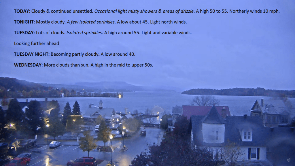
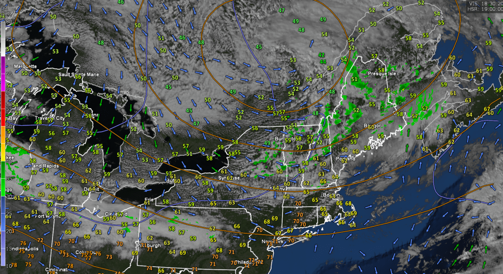
Drab and fairly wet weather will continue to push in from the North thru Tuesday late. Slight warming trend however, with dry weather for Wednesday/Thursday…

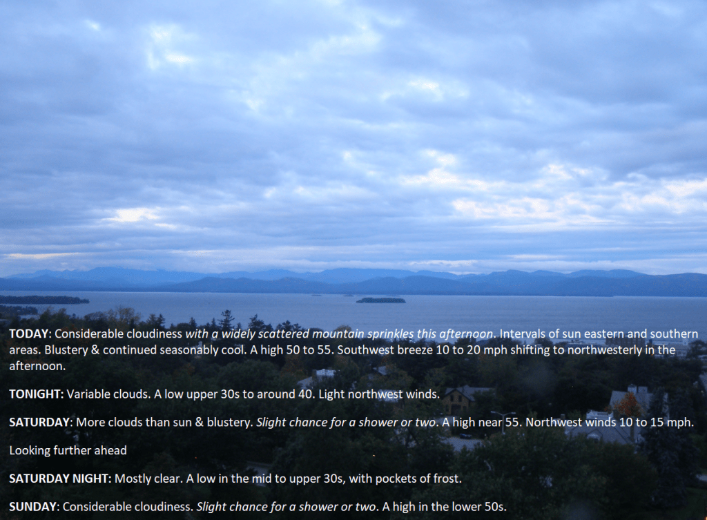
TODAY: Considerable cloudiness with a widely scattered mountain sprinkles this afternoon. Intervals of sun eastern and southern areas. Blustery & continued seasonably cool. A high 50 to 55. Southwest breeze 10 to 20 mph shifting to northwesterly in the afternoon.
TONIGHT: Variable clouds. A low upper 30s to around 40. Light northwest winds.
SATURDAY: More clouds than sun & blustery. Slight chance for a shower or two. A high near 55. Northwest winds 10 to 15 mph.
Looking further ahead
SATURDAY NIGHT: Mostly clear. A low in the mid to upper 30s, with pockets of frost.
SUNDAY: Considerable cloudiness. Slight chance for a shower or two. A high in the lower 50s.
MONDAY: Mostly cloudy & unsettled. Chance for showers. A low around 40. A high in the mid-50s.
TUESDAY: Mostly cloudy. A low upper 30s to around 40. A high around 55.
WEDNESDAY: Considerable cloudiness. A low around 35. A high near 55.
Average lows 35 to 40 with a touch of frost. Average highs 55 to 60.
RH/10-13 forecast][end]
TONIGHT: Mostly clear with a few more clouds overnight.A low mid to upper 30s with pockets of frost possible. Light northwest winds.
TOMORROW: Considerable cloudiness with a few intervals of sun later on. Blustery. Isolated mountain sprinkles. A high 50 to 55. Southwest breeze 10 to 20 mph shifting to northwesterly in the afternoon.
FRIDAY NIGHT: Variable clouds. A low upper 30s to around 40. Light northwest winds.
SATURDAY: More clouds than sun & blustery. Slight chance for a shower or two. A high about 55. Northwest winds 10 to 15 mph.
Looking further ahead
SATURDAY NIGHT: Scattered cloudiness. A low in the upper 30s.
SUNDAY: Considerable cloudiness. Slight chance for a shower or two. A high in the lower 50s.
MONDAY: Mostly cloudy & unsettled. Chance for showers. A low near 45. A high near 55.
TUESDAY: Partly to mostly cloudy. A low mid-30s to around 40. A high around 55.
WEDNESDAY: Considerable mainly high cloudiness. A low in the mid-30s. A high around 55.
Average lows 35 to 40 with a touch of frost. Average highs 55 to 60.
RH/10-12 forecast][end]
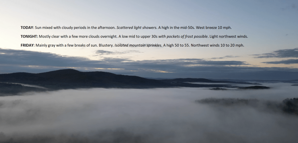
TODAY: Sun mixed with cloudy periods in the afternoon. Scattered light showers. A high in the mid-50s. West breeze 10 mph.
TONIGHT: Mostly clear with a few more clouds overnight.A low mid to upper 30s with pockets of frost possible. Light northwest winds.
FRIDAY: Mainly gray with a few breaks of sun. Blustery. Isolated mountain sprinkles. A high 50 to 55. Northwest winds 10 to 20 mph.
Looking further ahead
FRIDAY NIGHT: Variable clouds. A low upper 30s to around 40.
SATURDAY: High cloudiness thickening up in the afternoon. Slight chance for a shower or two. A high of about 55.

SUNDAY: Mostly cloudy. Slight chance for a shower or two. A low in the upper 30s. A high in the lower 50s.
MONDAY: Mainly gray & unsettled. Chance for showers. A low near 45. A high near 55.
TUESDAY: Partly to mostly cloudy. A low mid-30s to around 40. A high around 55.
WEDNESDAY: Considerable mainly high cloudiness. A low in the mid-30s. A high around 55.
Average lows 35 to 40 with a touch of frost. Average highs 55 to 60.
RH/10-12 forecast][end]

TONIGHT: Scattered cloudiness.Slight chance for a passing sprinkle. A low upper 30s to around 40. Light southwest winds.
TOMORROW: Sun mixed with cloudy periods in the afternoon. Scattered light showers. A high around 55. West breeze 10 mph.
THURSDAY NIGHT: Mostly clear with a few more clouds overnight.A low 35 to 40 with isolated frost possible. Light northwest winds.
FRIDAY: Lots of clouds & blustery. Isolated mountain sprinkles. A high in the mid-50s. Northwest winds 10 to 20 mph.
Looking further ahead
FRIDAY NIGHT: Mostly clear, with more clouds overnight. A low in the 30s with pockets of frost.
SATURDAY: High cloudiness thickening up in the afternoon. Rising chance for showers southern areas. A high about 55.
SUNDAY: Gray. Widely scattered passing light showers. A low in the low 40s. A high 50 to 55.
MONDAY: Mainly cloudy & unsettled. Chance for showers. A low near 45. A high 50 to 55.
Average lows 35 to 40. Average highs 55 to 60.
RH/10-11 forecast][end]
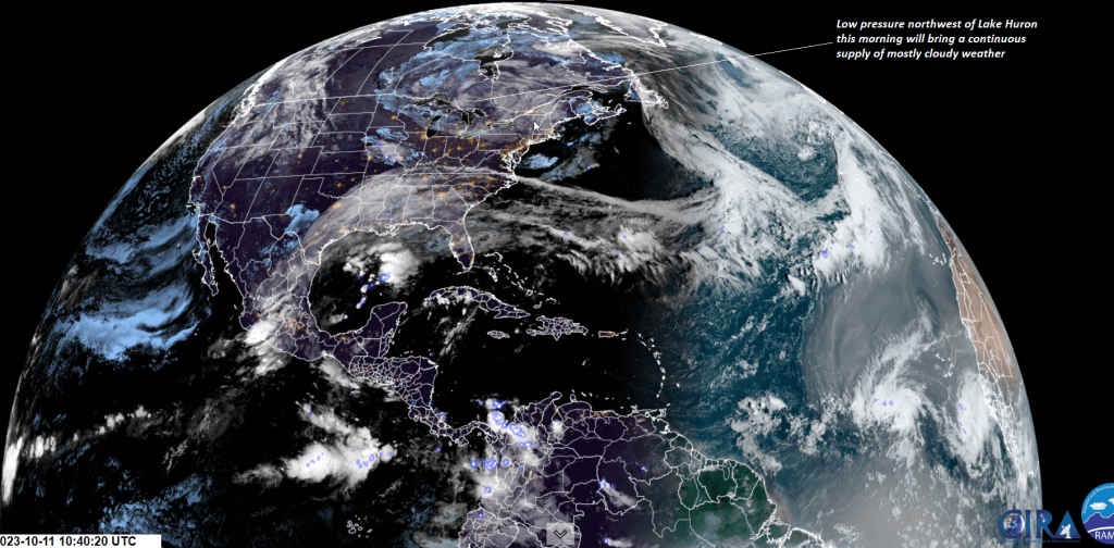
TODAY: Clouds with a break of sun away from the mountains. A few passing sprinkles northern areas this morning. A high mid-50s. Light southwest winds.
TONIGHT: Scattered cloudiness.A low upper 30s to around 40. Light southwest winds.
THURSDAY: Sun mixed with cloudy periods in the afternoon. Scattered light passing showers. A high around 55. West breeze 10 mph.
Looking further ahead
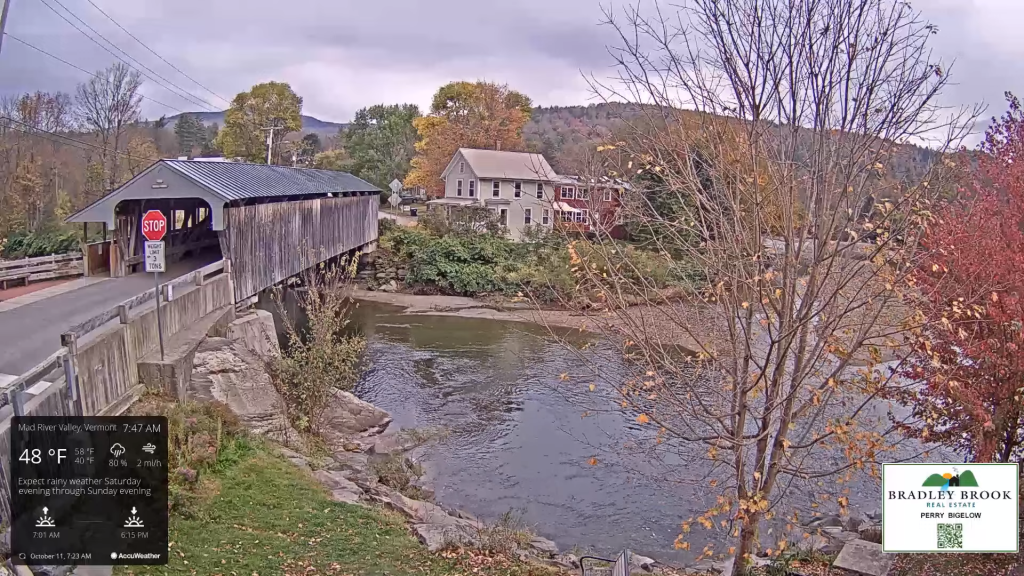
THURSDAY NIGHT: Mostly clear with a few more clouds overnight.A low 35 to 40 with isolated frost possible.
FRIDAY: More clouds than sun. Isolated mountain sprinkles. A high in the mid-50s.
SATURDAY: High cloudiness thickening up in the afternoon. Rising chance for showers southern areas. A low in the 30s with pockets of frost. A high about 55.
SUNDAY: Gray. Widely scattered passing light showers. A low in the low 40s. A high 50 to 55.
MONDAY: Mainly cloudy & unsettled. Chance for showers. A low near 45. A high 50 to 55.
Average lows 35 to 40. Average highs 55 to 60.
RH/10-11 forecast][end]
 Weathering Heights, Roger Hill's weather forecasting service