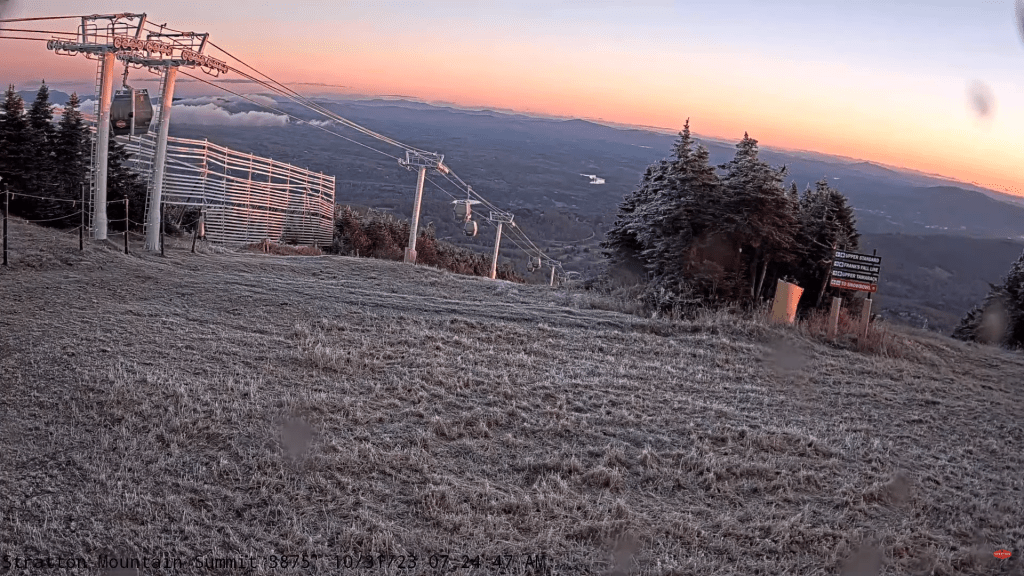
As typically happens in the Green Mountain State, November can be stark but pretty especially as the colder air brings excellent clarity. Sunshine to predominate today.


TONIGHT: Clouds with scattered flurries drying up early with brief minor accumulation, becoming mostly clear mid to late evening on.Watch for icy spots in the high terrain.A low 20 to 25. Light west winds.
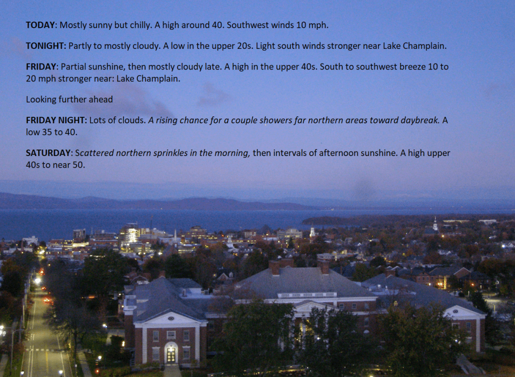
TOMORROW: Partly to mostly sunny. Chilly. A high around 40. Southwest winds 10 mph.
THURSDAY NIGHT: Fair early, then increasing clouds. A low 25 to 30. Light south winds stronger near Lake Champlain.
FRIDAY: Partial sunshine, then mostly cloudy late. A high in the upper 40s. South to southwest breeze 10 to 15 mph.
Looking further ahead
FRIDAY NIGHT: Lots of clouds.A low in the mid to upper 30s
SATURDAY: Partly to mostly cloudy with a few scattered sprinkles northern areas.A high upper 40s to near 50.
SUNDAY: Considerable cloudiness with breaks of sun. Scattered light rain showers. A low in the mid-30s. A high upper 40s to near 50.
MONDAY: Mostly cloudy. Scattered rain showers late. A low around 32. A high in the mid to upper 40s.
Average lows upper 20s to mid-30s. Average highs mid-40s to low 50s.
RH/11-1 forecast][end]

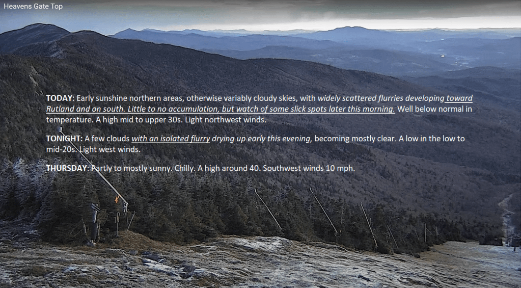
TODAY: Early sunshine in northern areas, otherwise variably cloudy skies, with widely scattered flurries developing toward Rutland and on south. Little to no accumulation, but watch for slick spots later this morning. Well below normal in temperature. A high mid to upper 30s. Light northwest winds.
TONIGHT: A few clouds with an isolated flurry drying up early this evening, becoming mostly clear.A low in the low to mid-20s. Light west winds.
THURSDAY: Partly to mostly sunny. Chilly. A high around 40. Southwest winds 10 mph.
Looking further ahead
THURSDAY NIGHT: Fair early, then increasing clouds. A low upper 20s to around 30.
FRIDAY: Partial sunshine, then mostly cloudy later in the day. A high 45 to 50.
SATURDAY: Partly to mostly cloudy with a few scattered sprinkles.A low mid to upper 30s. A high upper 40s to near 50.
SUNDAY: Considerable cloudiness with breaks of sun. Scattered light rain showers. A low in the mid-30s. A high upper 40s to near 50.
MONDAY: Mostly cloudy. Scattered rain showers late. A low around 32. A high in the mid to upper 40s.
Average lows the upper 20s to mid-30s. Average highs are mid-40s to low 50s.
RH/11-1 forecast][end]
TONIGHT Halloween: Dry weather for trick-or-treaters later this evening with temperatures around freezing. It should cloud up overnight. A low in the mid-20s. Light east winds.
TOMORROW: Mostly cloudy. Scattered flurries with a dusting to an inch accumulation mountain slopes central and southern Greens. Well below normal in temperature. A high in the mid-30s. Light northwest winds.
WEDNESDAY NIGHT: A few clouds with a leftover flurry drying up in the evening.Becoming mostly clear.A low 20 to 25. Light west winds.
THURSDAY: Partly to mostly sunny. Chilly. A high in the lower 40s. Southwest winds 10 mph.
Looking further ahead
THURSDAY NIGHT: Fair early, then increasing clouds. A low of about 30.
FRIDAY: Morning clouds give way to periods of sun, clouding up toward dark. A high around 45.
SATURDAY: Mainly gray. Chance for a few rain showers with partial late-day clearing. A low mid to upper 30s. A high mid to upper 40s.
SUNDAY: Considerable cloudiness with breaks of sun. Widely scattered rain showers in northern areas. A low 35 to 40. A high upper 40s to near 50.
Average lows the upper 20s to mid-30s. Average highs are mid-40s to low 50s.
RH/10-31 forecast][end]
TODAY: Lots of sunshine, with more clouds later on. Rather chilly. A high around 40. Light northwest winds.
TONIGHT Halloween: Dry for trick-or-treaters early this evening with temperatures around freezing.Increasing clouds overnight.A low overnight around 25. Light east winds.
WEDNESDAY: Mostly cloudy. Scattered flurries with a dusting to an inch accumulation…especially mountain slopes in central and southern Greens. Well below normal in temperature. A high in the mid-30s. Light northwest winds.
Looking further ahead
WEDNESDAY NIGHT: A few clouds with a leftover flurry drying up in the evening.Becoming mostly clear.A low in the low to mid-20s.
THURSDAY: Partly to mostly sunny. Chilly. A high in the low 40s.
FRIDAY: Morning clouds with an isolated northern mountain flurry early, giving way to periods of sun, clouding up toward dark. A low of about 30. A high around 45.
SATURDAY: Mainly gray. Chance for rain showers. A low mid to upper 30s. The high in the upper 40s.
SUNDAY: Considerable cloudiness with breaks of sun. Widely scattered rain showers. A low 35 to 40. A high around 50.
Average lows the upper 20s to mid-30s. Average highs are mid-40s to low 50s.
RH/10-31 forecast][end]

