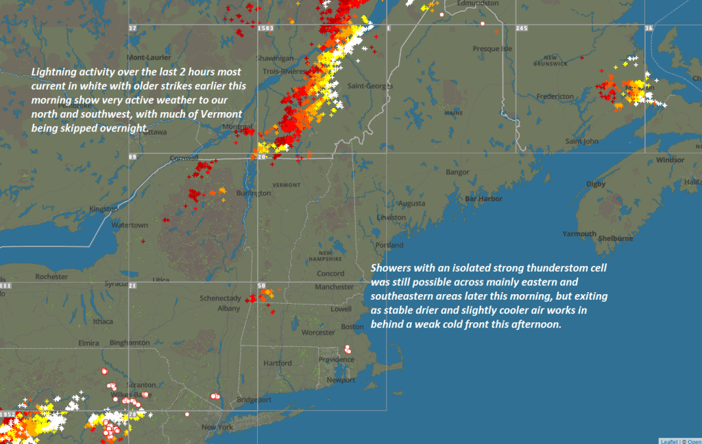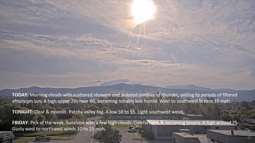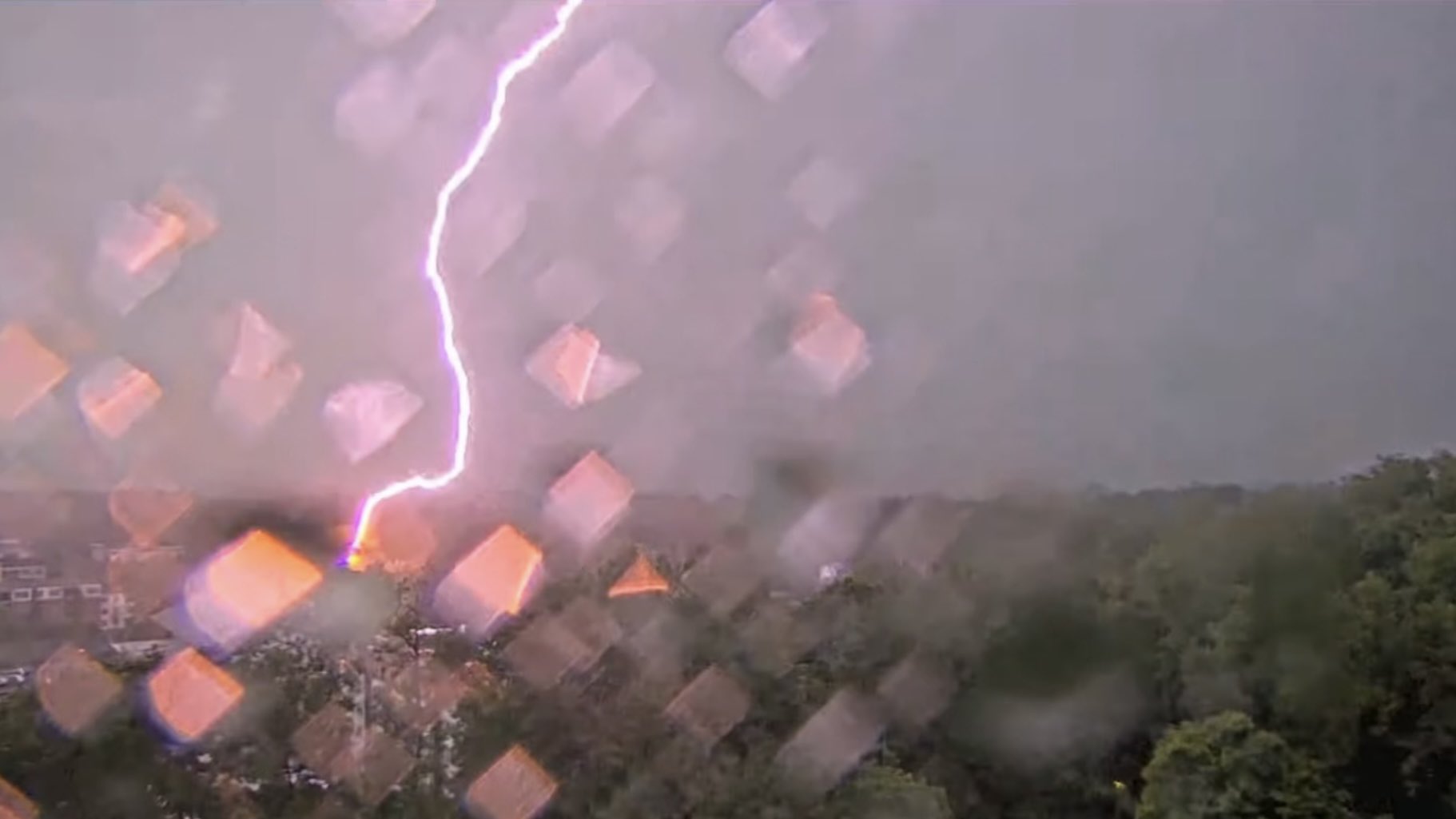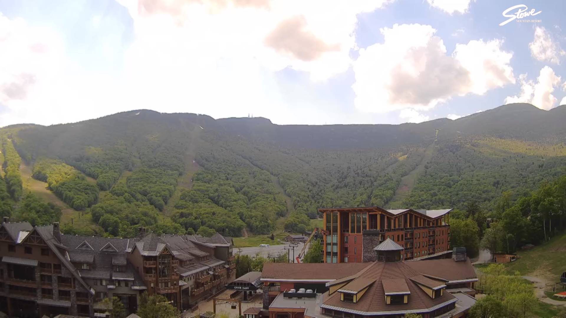
TONIGHT: Partly to mostly cloudy. Showers and thunderstorms becoming likely…some strong across western and northern areas.Humid. A low in the mid-60s. Light southwest winds.
TOMORROW: Morning clouds with a round of showers and thunderstorms exiting to periods of filtered afternoon sun. A high about 80, and becoming less humid. West to southwest breeze 10 mph.
THURSDAY NIGHT: Clear & moonlit. Patchy valley fog.A low 50 to 55. Light southwest winds.

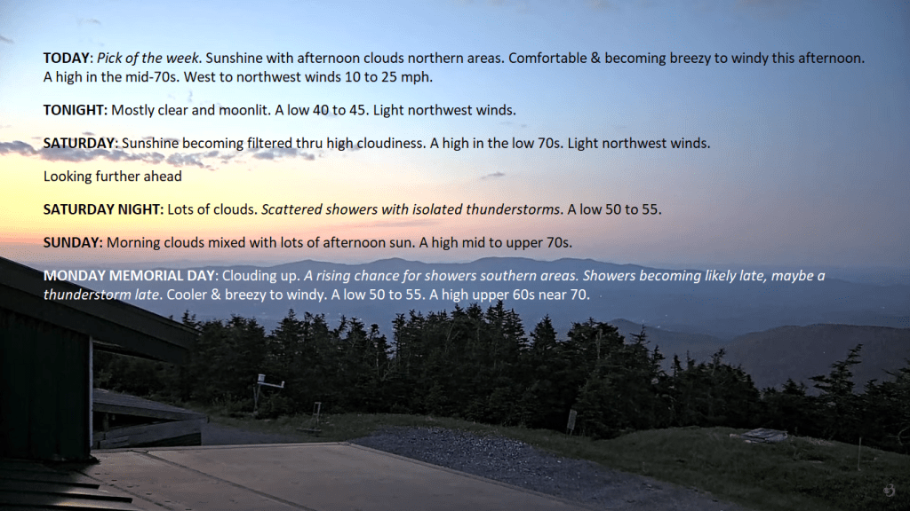
FRIDAY: Pick of the week. Sunshine with a few high clouds. Comfortable & becoming breezy. A high in the mid-70s. Gusty west to northwest winds 10 to 25 mph.
Looking further ahead
FRIDAY NIGHT: Mostly clear with a more clouds overnight.A low in the mid to upper 40s
SATURDAY: Lots of sunshine & seasonable giving way to high cloudiness. A high around 70.
SUNDAY: Morning clouds with a threat for a shower far north. Otherwisemore clouds than sun.A low in the low 50s. A high in the upper 70s.
MONDAY MEMORIAL DAY: Mainly gray. Chance for showers with a rumble of thunder. Cooler. A low around 55. A high near 70.
TUESDAY: Variable clouds. Scattered showers. A low 55 to 60. A high 70 to 75.
Average lows range thru the 40s. Average highs mid-60 to low 70s.
Start of meteorological summer June 6th
RH/5-22forecast][end]