
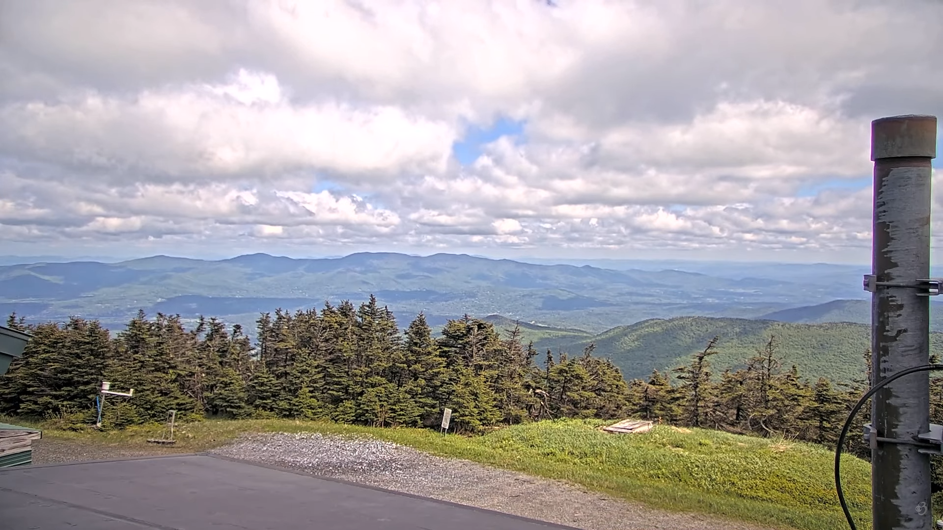
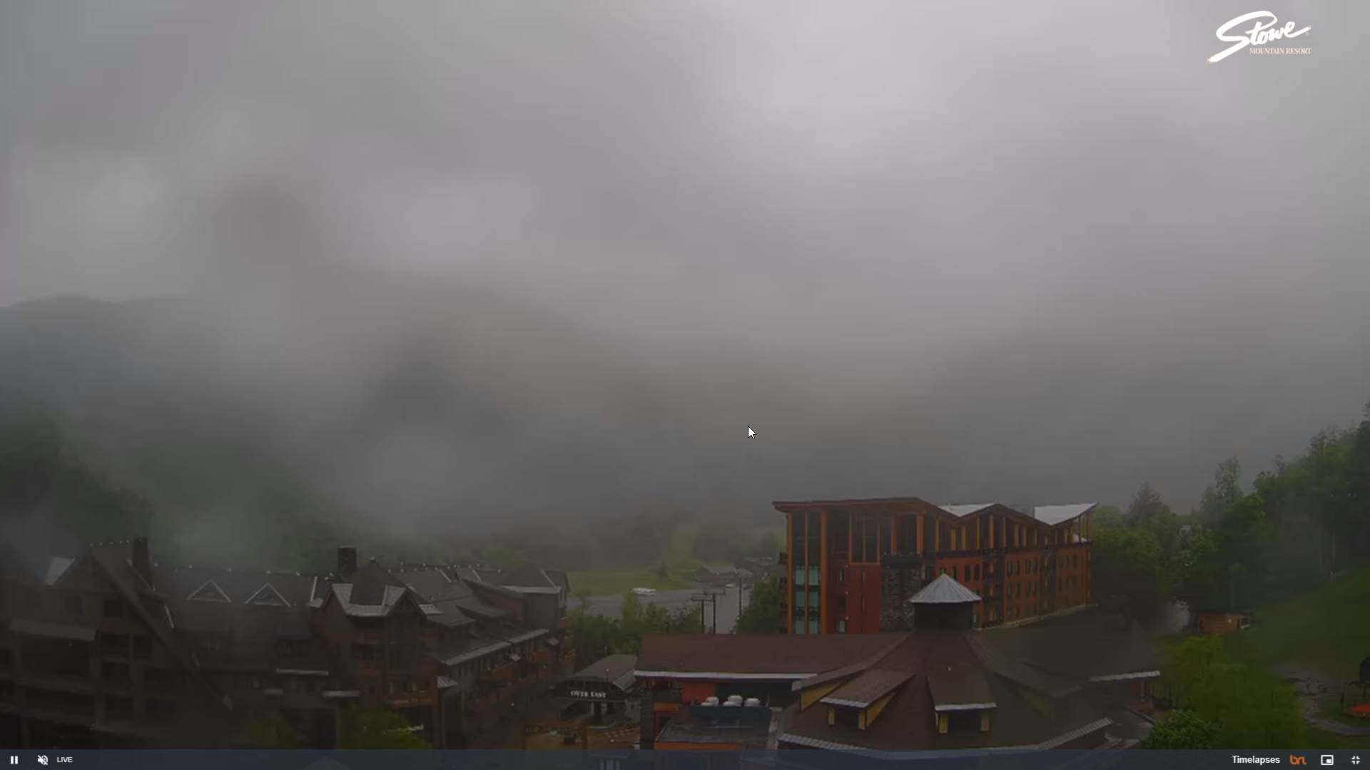
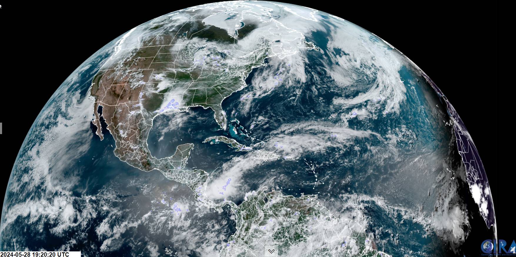
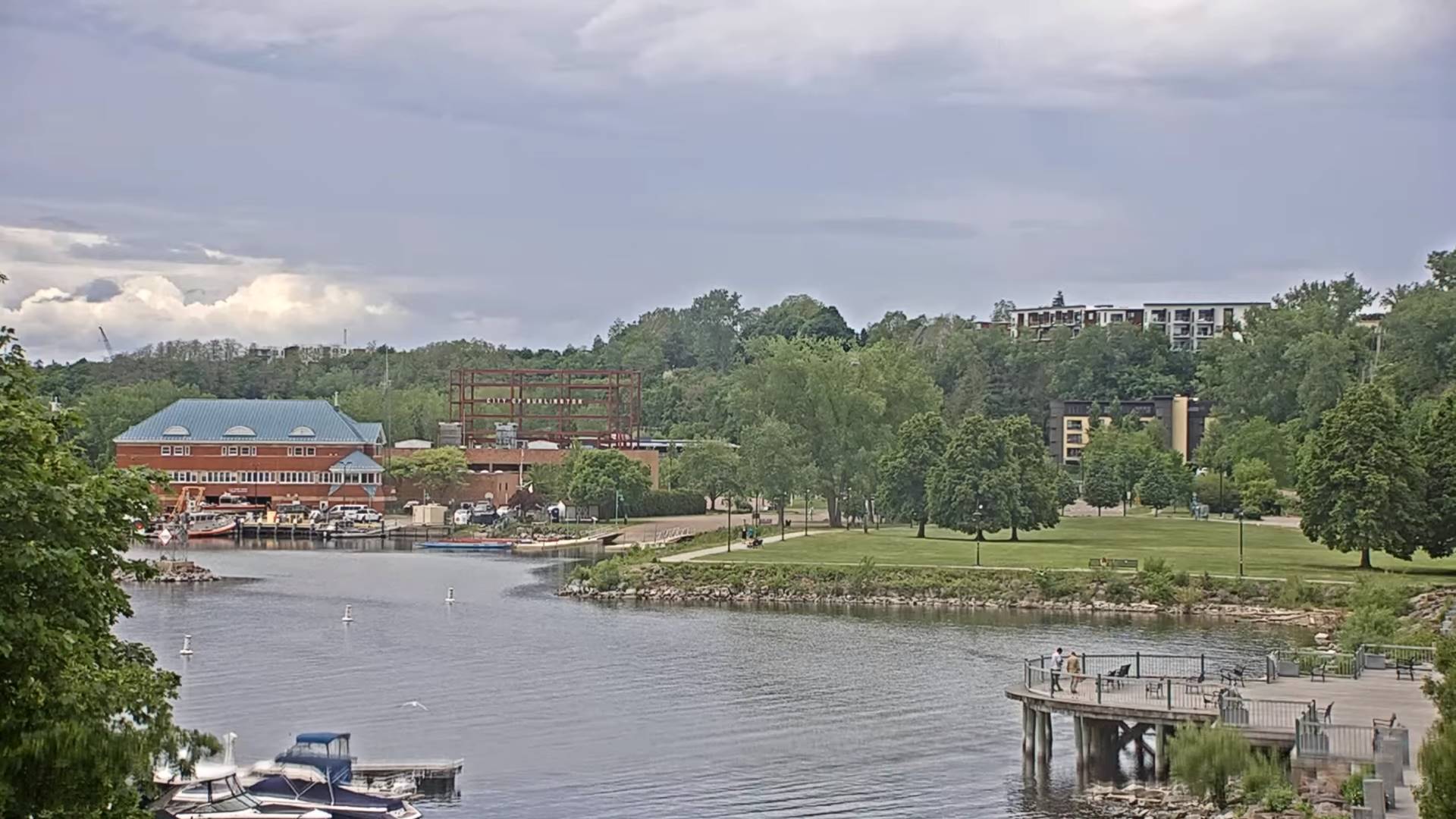
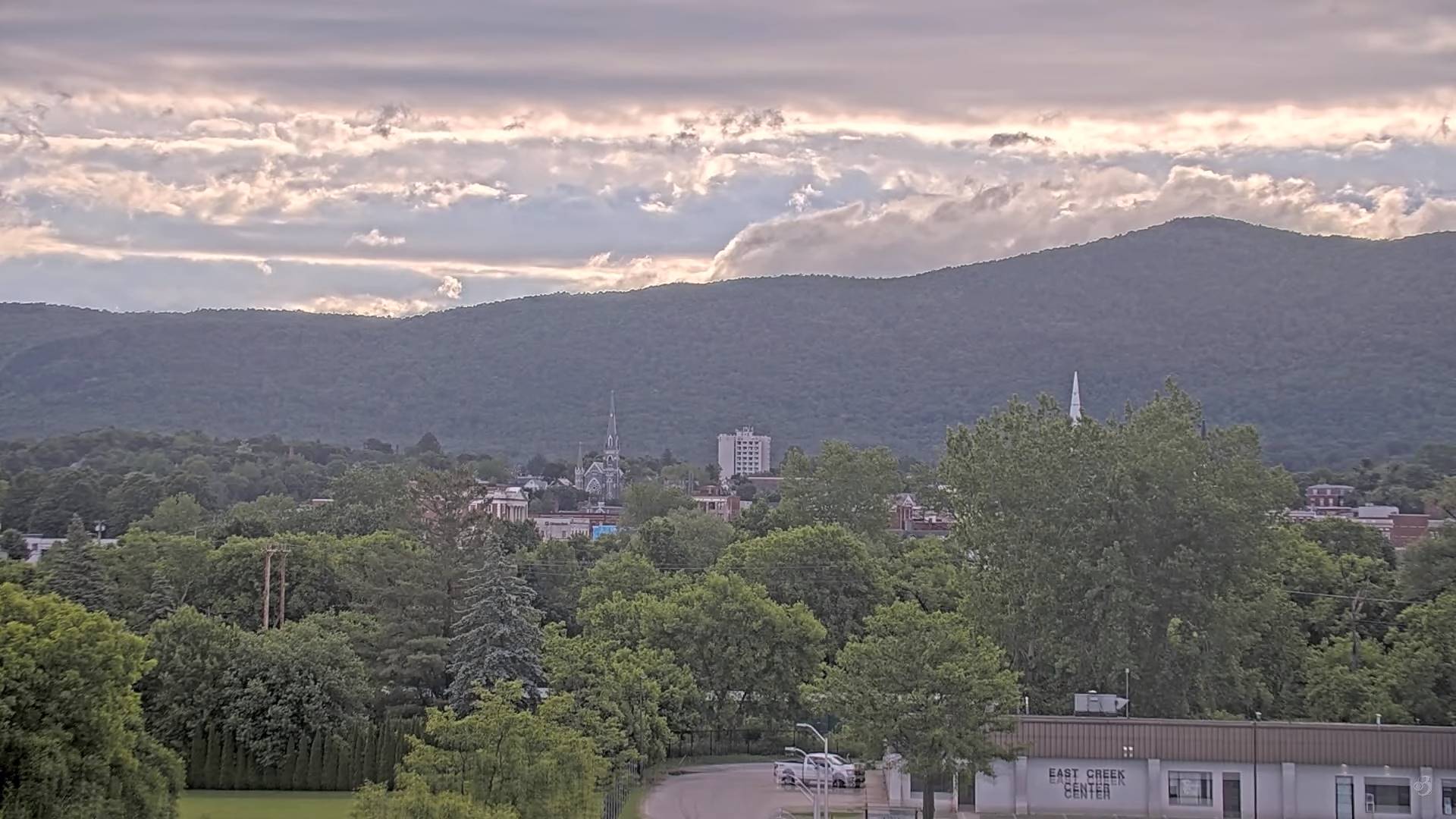
Yes very dry, but excellent mid-summer like weather continues, with slightly creeping humidity especially after Wednesday. Pop-up shower/thunderstorm activity last half of the work week, with the wettest weather about Thursday.

TONIGHT: Clear this evening then lots of clouds overnight.A low around 45. Light northwest winds.
TOMORROW: Mostly cloudy in the morning, then periods of sun in the afternoon. Cool. A high in the mid-60s. North winds 10 mph.
THURSDAY NIGHT: Clear & chilly.A low 40 to 45. Light west winds.
FRIDAY: Sunshine, then partly cloudy in the afternoon. A high in the upper 60s. Northwest winds 10 mph.
Looking further ahead
FRIDAY NIGHT: Clear. A low around 45.
SATURDAY: Lots of sunshine, becoming filtered through high clouds. A high 70 to 75.

SUNDAY: Clouds mixing with intervals of sunshine. Slight chance for showers southern Vermont. A low around 50. A high around 75.
MONDAY: Partly to mostly sunny. A low 45 to 50. A high in the mid to upper 70s.
TUESDAY: Morning sun then afternoon build-ups. Rising chance for late day thunder. A low mid-50s. A high in the lower 80s.
Average lows mid-40s to near 50. Average highs in the upper 60s to lower 70s.
Start of meteorological summer June 6th
RH/5-28forecast][end]


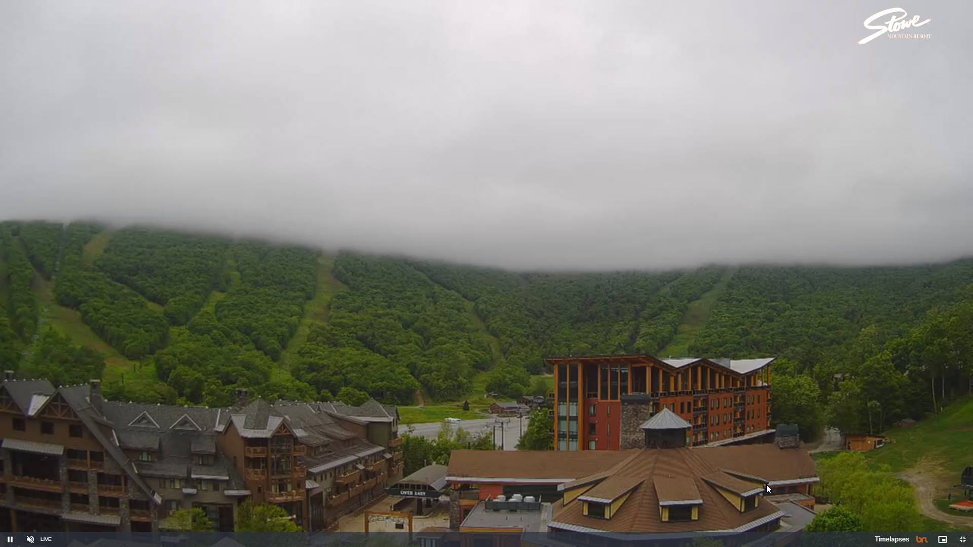
TODAY: Morning clouds with a few misty sprinkles, mixing with periods of sunshine Cool. A high around 65. Northwest breeze 10 mph.
TONIGHT: Clear this evening then more clouds overnight.A low around 45. Light northwest winds.
THURSDAY: Morning clouds, then mostly sunny in the afternoon. Cool. A high in the mid-60s. North winds 10 mph.
Looking further ahead
THURSDAY NIGHT: Clear & chilly.A low 40 to 45.
FRIDAY: Sunshine, then partly cloudy in the afternoon. A high in the upper 60s.
SATURDAY: Lots of sunshine, becoming filtered through high clouds. A low around 45. A high 70 to 75.
SUNDAY: Clouds mixing with intervals of sunshine. Slight chance for showers southern Vermont. A low around 50. A high around 75.
MONDAY: Partly to mostly sunny. A low 45 to 50. A high in the mid to upper 70s.
TUESDAY: Morning sun then afternoon build-ups. Rising chance for late day thunder. A low mid-50s. A high in the lower 80s.

Average lows mid-40s to near 50. Average highs in the upper 60s to lower 70s.
Start of meteorological summer June 6th

RH/5-28forecast][end]

TONIGHT: Partly to mostly cloudy. Slight chance for a sprinkle. A low in the lower 50s. Light northwest winds.
TOMORROW: Morning clouds gradually mixing with periods of afternoon sunshine Maybe a sprinkle. Cool. A high around 65. Northwest breeze 10 mph.
WEDNESDAY NIGHT: Mostly clear, then some clouds late.A low around 45. Light north winds.
THURSDAY: More sun than clouds. Cool. A high in the mid-60s. North winds 10 mph.
Looking further ahead
THURSDAY NIGHT: Mostly clear & chilly.A low 40 to 45.
FRIDAY: Morning sun, then more afternoon clouds. A high around 65.
SATURDAY: A few morning clouds then filtered sunshine. A low 40 to 45. A highs in the mid-70s.
SUNDAY: Gray. Chance for showers & possible thunderstorms. A low around 50. A high 65 to 70.

MONDAY: Sunshine with a few high clouds. A low in the upper 40s. A high in the mid to upper 70s.
Average lows mid-40s to near 50. Average highs in the upper 60s to lower 70s.
Start of meteorological summer June 6th
RH/5-28forecast][end]
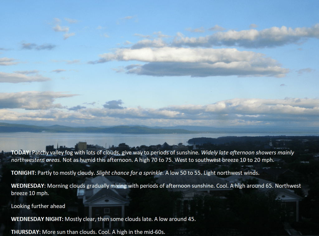
TODAY: Patchy valley fog with lots of clouds, give way to periods of sunshine. Widely late afternoon showers mainly northwestern areas. Not as humid this afternoon. A high 70 to 75. West to southwest breeze 10 to 20 mph.
TONIGHT: Partly to mostly cloudy. Slight chance for a sprinkle. A low 50 to 55. Light northwest winds.
WEDNESDAY: Morning clouds gradually mixing with periods of afternoon sunshine. Cool. A high around 65. Northwest breeze 10 mph.
Looking further ahead
WEDNESDAY NIGHT: Mostly clear, then some clouds late.A low around 45.
THURSDAY: More sun than clouds. Cool. A high in the mid-60s.
FRIDAY: Morning sun, then more afternoon clouds. A low 40 to 45. A high around 65.
SATURDAY: A few morning clouds then filtered sunshine. A low 40 to 45. A highs in the mid-70s.
SUNDAY: Gray. Chance for showers & possible thunderstorms. A low around 50. A high 65 to 70.

MONDAY: Sunshine with a few high clouds. A low in the upper 40s. A high in the mid to upper 70s.
Average lows mid-40s to near 50. Average highs in the upper 60s to lower 70s.
Start of meteorological summer June 6th

RH/5-28forecast][end]
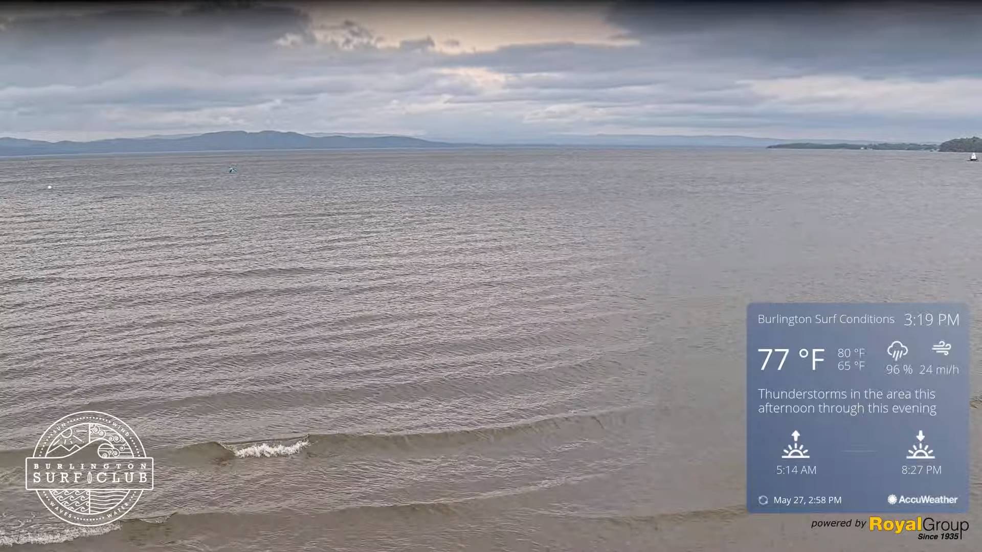
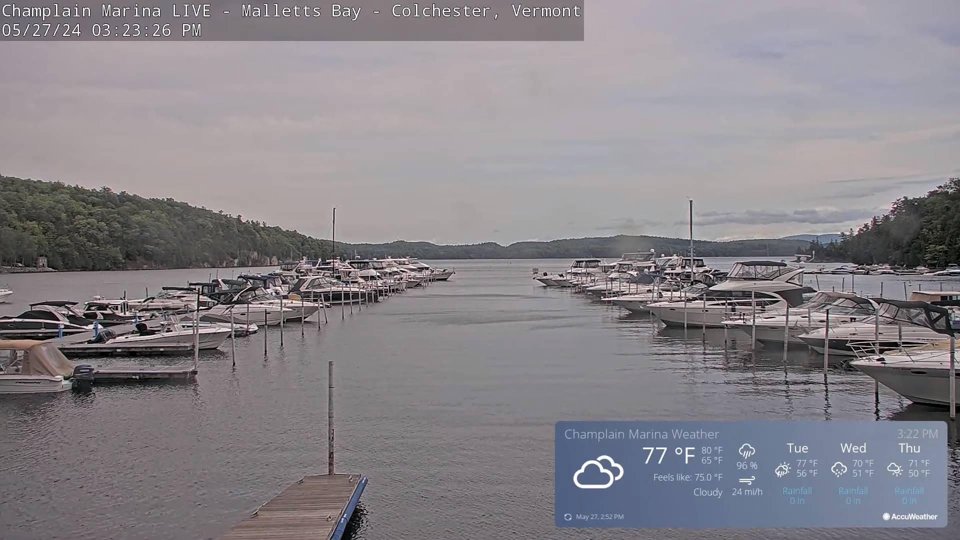
TONIGHT: Showers this evening…& a few embedded thunderstorms moderate to briefly heavy this evening, becoming scattered overnight with partial clearing. A low in the low 60s. South winds 10 to 15 mph falling off overnight.
TOMORROW: Partly sunny. Widely scattered showers, maybe an isolated rumble of thunder Champlain Valley. A high 70 to 75. West to southwest breeze 10 to 20 mph.
TUESDAY NIGHT: Partly to mostly cloudy. Slight chance for a sprinkle. A low 50 to 55. Light northwest winds.
WEDNESDAY: Low cloudiness gradually mixing with intervals of sun. Slight chance for a sprinkle. A high in the mid-60s. Northwest breeze 10 mph.
Looking further ahead
WEDNESDAY NIGHT: Mostly clear, then some clouds late.A low around 45.
THURSDAY: More sun than clouds. Cool. A high 60 to 65.
FRIDAY: Morning sun, then more afternoon clouds. A low in the low to mid 40s. A high 60 to 65.
SATURDAY: Sunshine becoming filtered through high clouds.
Average lows mid-40s to near 50. Average highs in the upper 60s to lower 70s.
Start of meteorological summer June 6th
RH/5-27forecast][end]
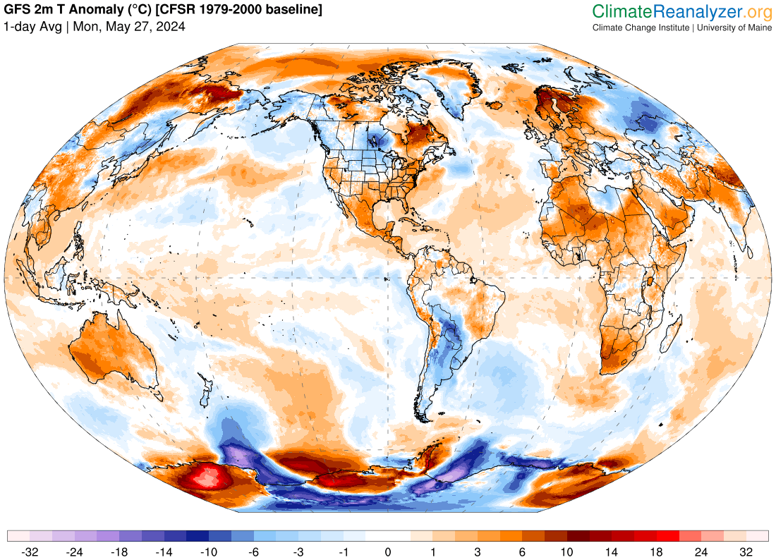
TODAY: Mainly cloudy. Scattered sprinkles southern areas gradually spread north later this morning. Damp cooler and breezy to windy. A high in the upper 60s. Southeasterly winds 10 to 25 mph with higher gusts across western slopes and of the Greens.
TONIGHT: Cloudy. Showers this evening…a few & embedded thunderstorms moderate to briefly heavy especially western areas this evening…becoming scattered overnight. A low in the low 60s. South winds 10 to 15 mph falling off overnight.
TUESDAY: Mixed clouds and sun. Scattered showers, maybe an isolated rumble of thunder western areas. A high 70 to 75. West to southwest breeze 10 to 20 mph.
Looking further ahead
TUESDAY NIGHT: Partly to mostly cloudy. Chance for a few lingering showers. A low 50 to 55.
WEDNESDAY: Low cloudiness gradually mixing with intervals of sun. A high in the mid-60s.
THURSDAY: Sunshine mixing with a few clouds. Cool. A low around 45. A high 60 to 65.
FRIDAY: Morning sun, then more afternoon clouds. A low in the low to mid 40s. A high 60 to 65.
Average lows mid-40s to near 50. Average highs in the upper 60s to lower 70s.
Start of meteorological summer June 6th
RH/5-27forecast][end]
