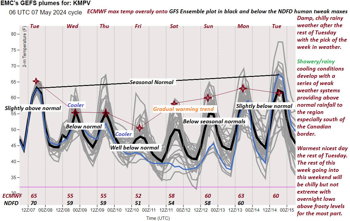
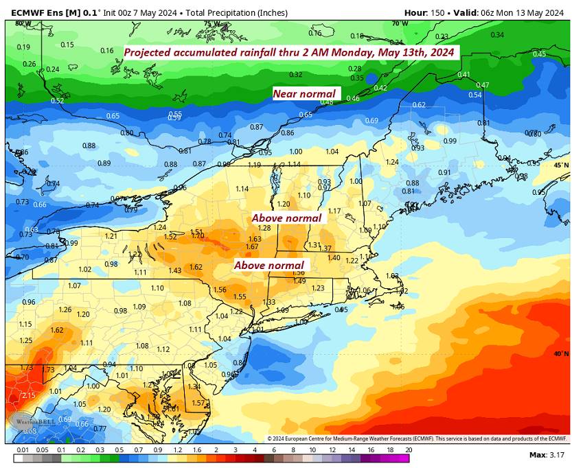
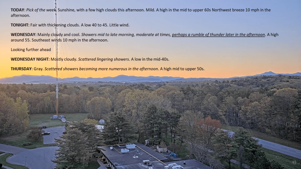
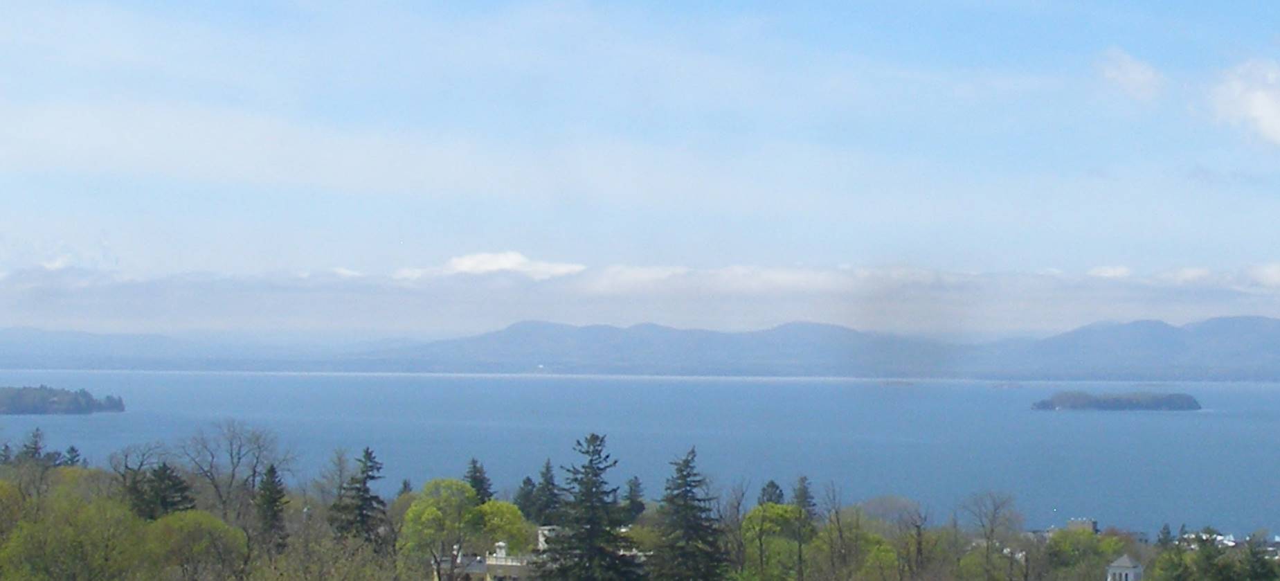
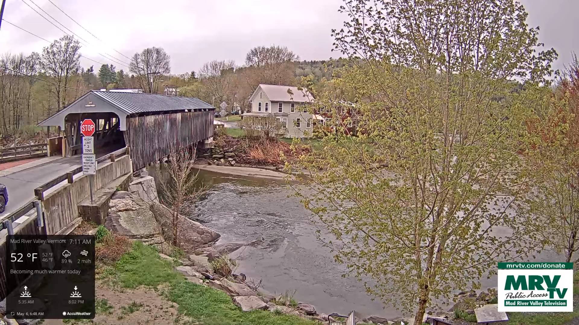
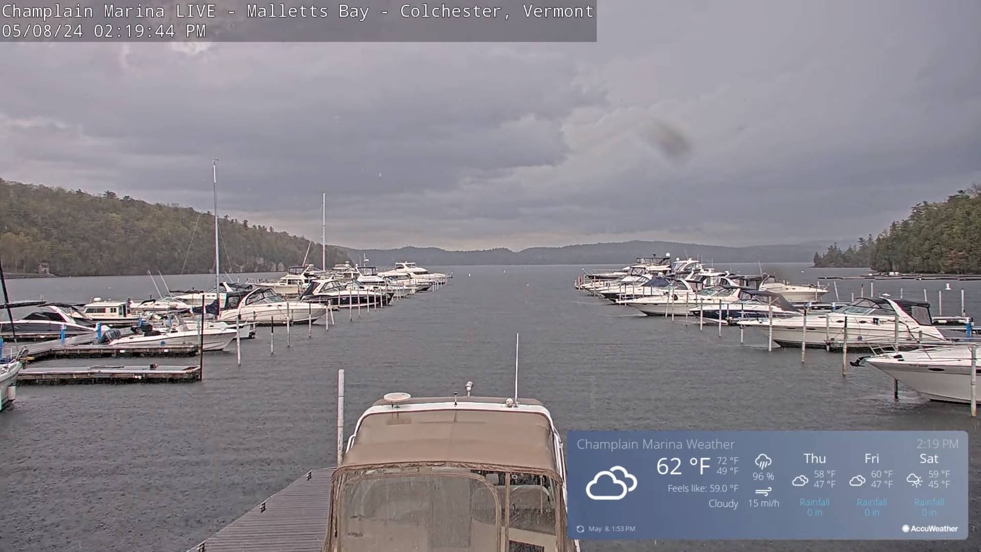
TONIGHT: Mostly cloudy.Widely scattered showers with an isolated rumble of thunder early dries up later this evening. A low in the mid-40s. Northwest winds 10 mph.
TOMORROW: Lots of clouds. An occasional light misty shower, remaining damp and cool. A high around 55. Light north breeze.
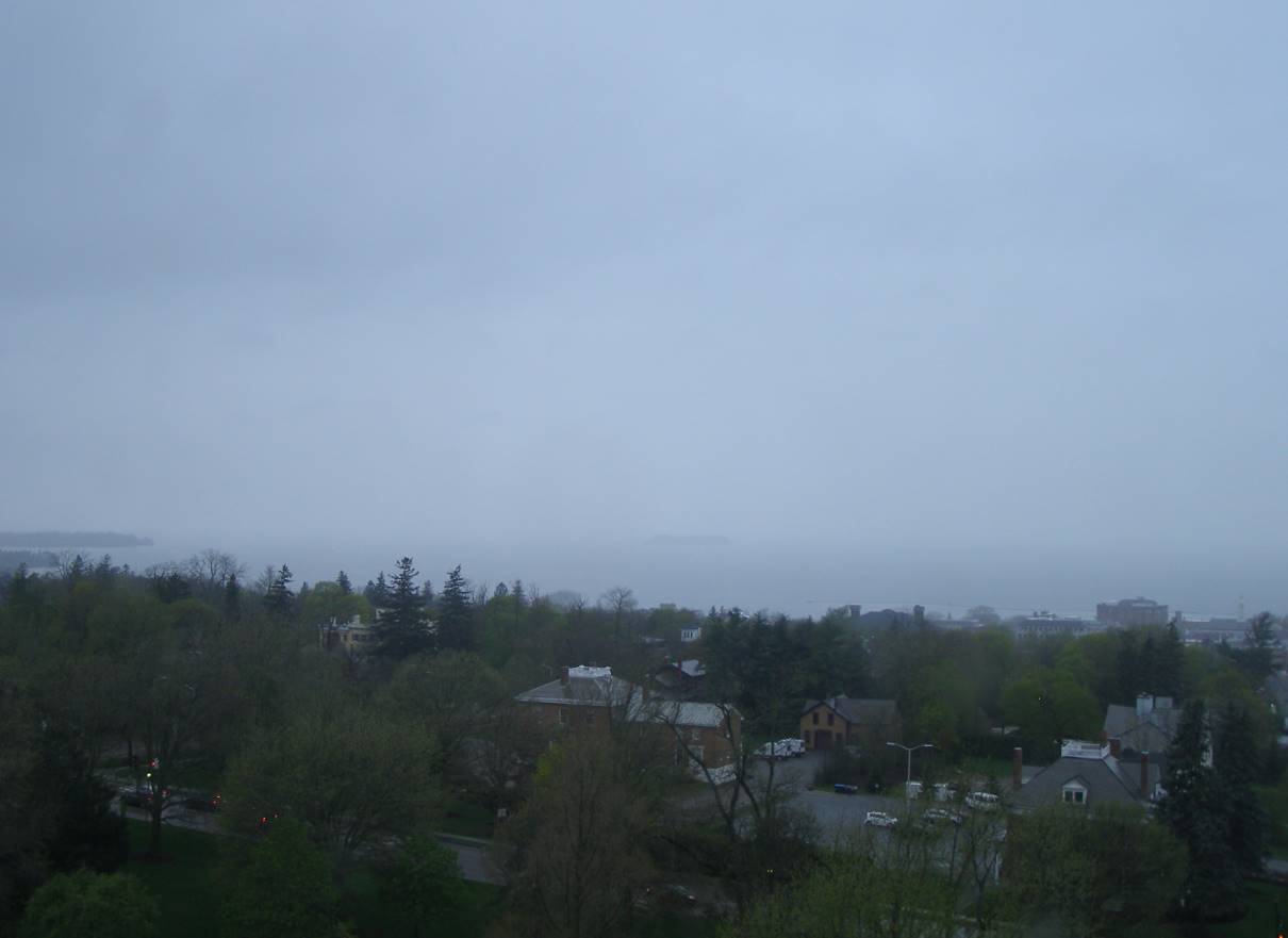
THURSDAY NIGHT: Partly cloudy in the evening clouding up overnight. An occasional light misty shower.A low in the low to mid 40s. Light east winds.
FRIDAY: Continued mainly gray & chilly. Widely scattered misty showers. A high in the low to mid 50s. Light east winds.
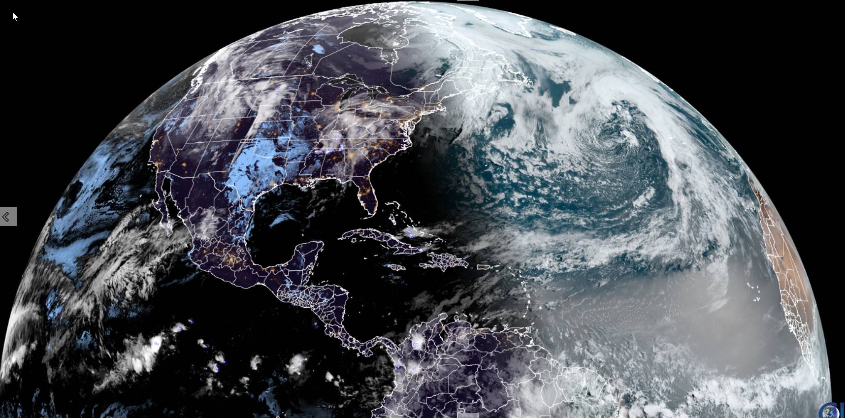
Looking further ahead
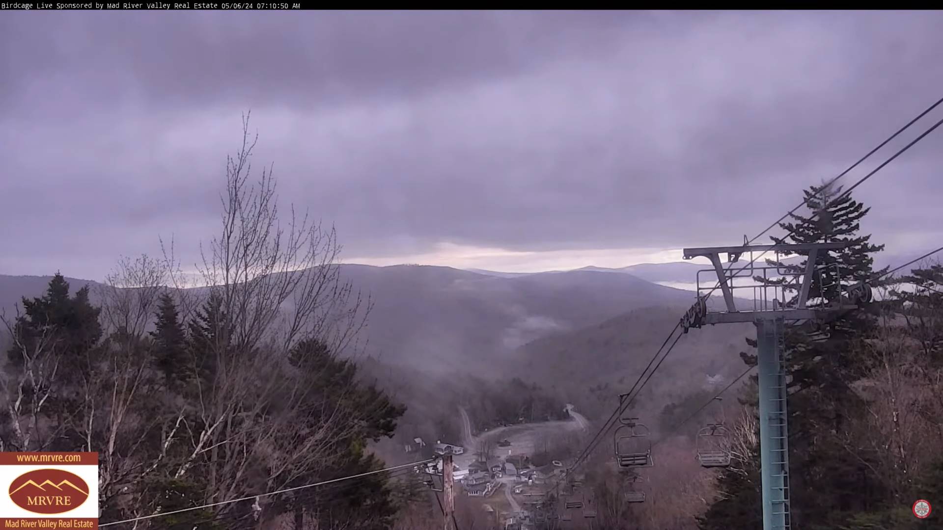
FRIDAY NIGHT: Cloudy. Maybe a misty shower.A low upper 30s around 40.
SATURDAY: Morning sun mixing with afternoon clouds. Widely scattered light showers. A high in the mid to upper 50s.
SUNDAY: Cloudy. Widely scattered showers, maybe wet snow flakes mountain summits. A low around 40. A high 50 to 55.
MONDAY: Mainly gray. Chance for showers. A low around 40. Warming trend. A high about 60.
TUESDAY: Sunshine with afternoon cloudiness. A low in the 40s. A high in the 60s.
Average lows mid-30s to lower 40s. Average highs low to mid-60s.
Start of meteorological summer June 6th
RH/5-8forecast][end]