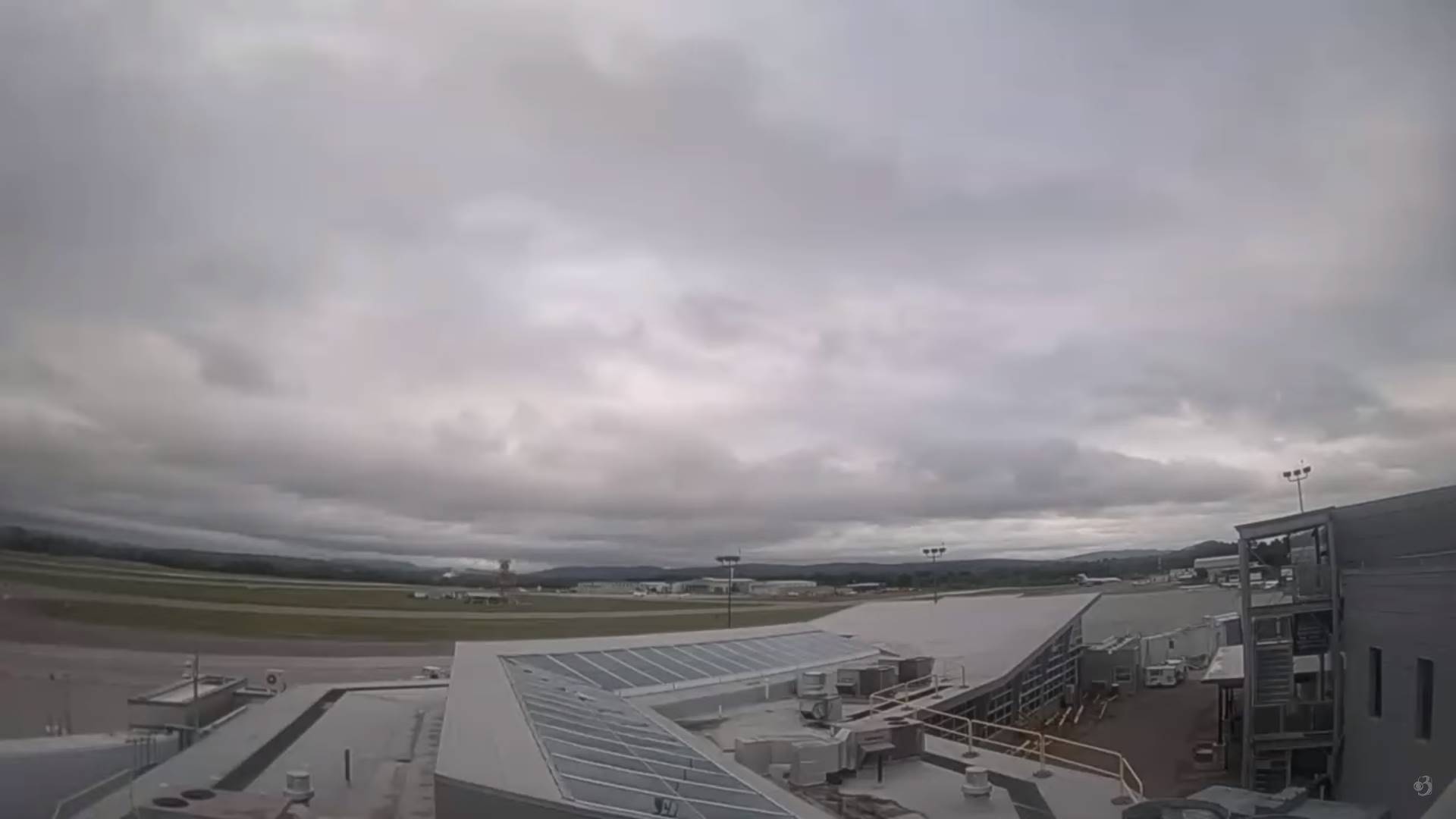
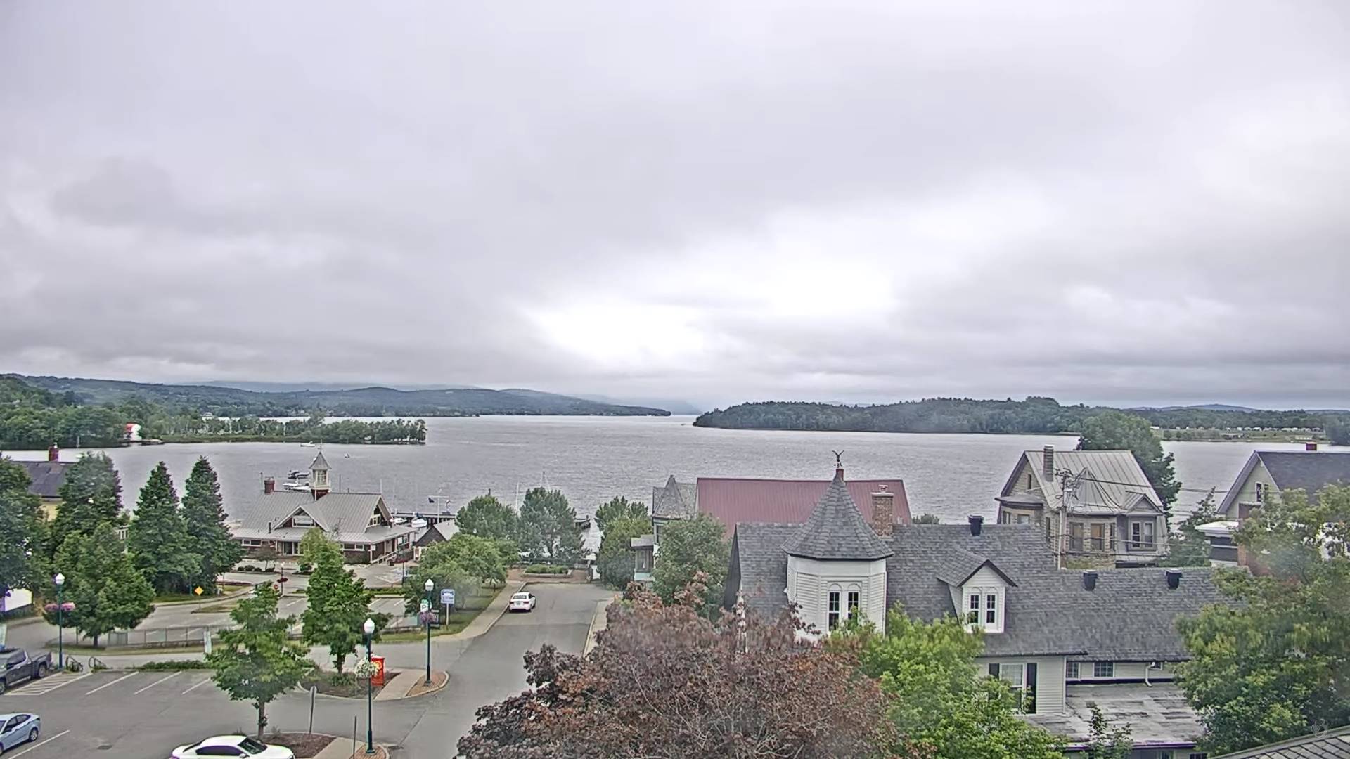
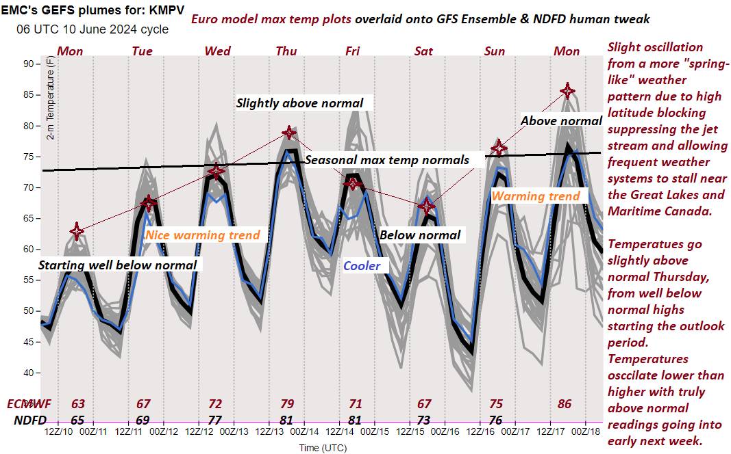
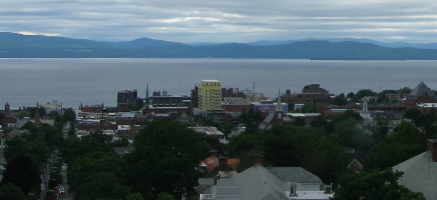
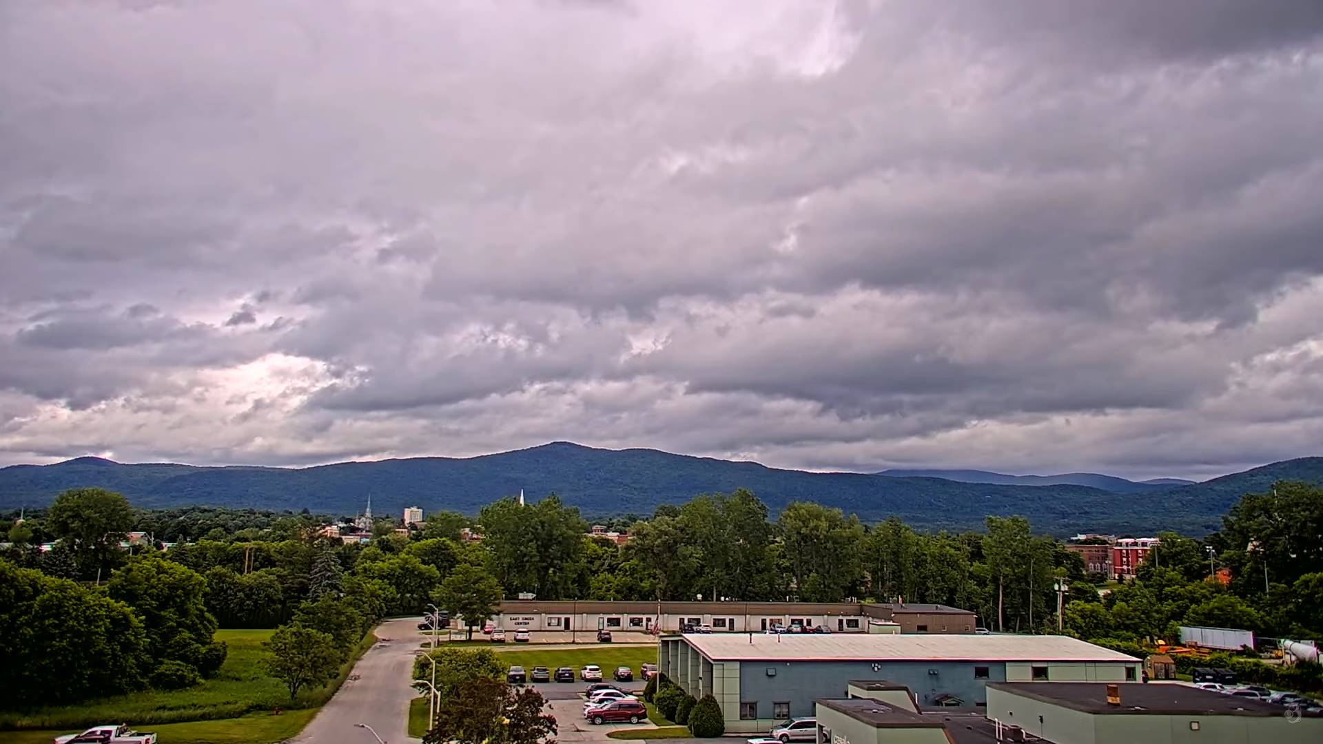
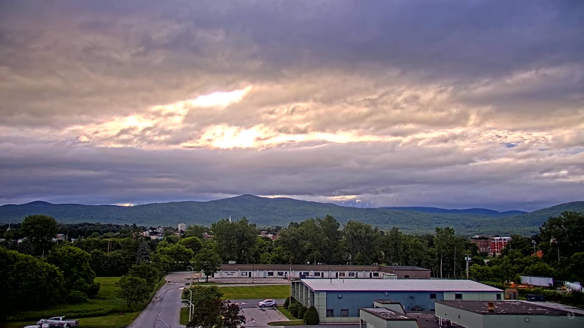
Gradually spring shifts to summer with a warm day ahead for Thursday, but a little more low and mid-level cloud cover to contend with but shower-wise very little mostly NE Vermont into Maine.


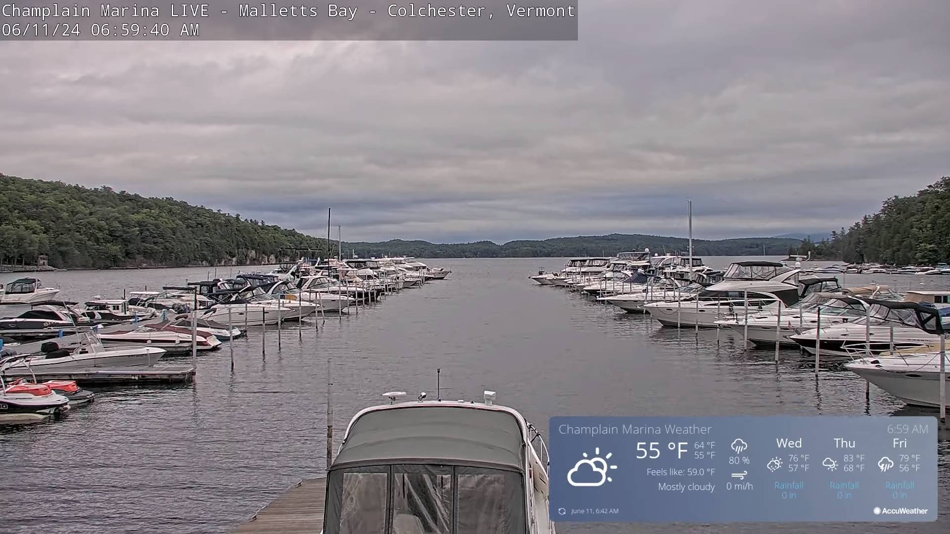
TONIGHT: Partly cloudy early, then mostly clear. Patchy valley fog. A low 50 to 55. Little wind.
TOMORROW: Morning sunshine then variable cloudiness. Isolated afternoon showers and thunderstorms toward northern New Hampshire. A high 70 to 75. Light west winds.
WEDNESDAY NIGHT: Partly cloudy then clearing. A low around 50. Light southwest winds.

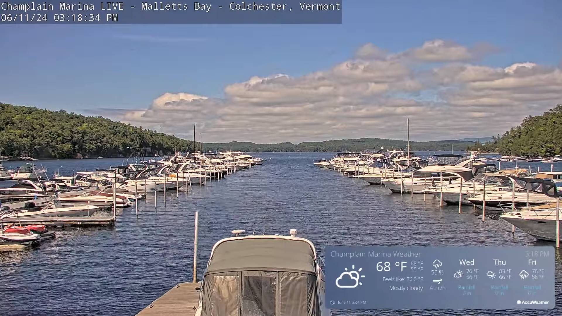
THURSDAY: Pick of the week. Morning sun becoming filtered by high cloudiness. A high in the low 80s with moderate humidity levels. Southwest breeze 10 mph.
Looking further ahead
THURSDAY NIGHT: Variable cloudiness. Scattered showers and possible thunderstorms mainly late evening and overnight before clearing.Muggy. A low 60 to 65.

FRIDAY: Partly to mostly sunny northern areas and less humid. Clouds, with scattered showers and possible afternoon thunderstorms southern areas exiting late. A high near 80.
SATURDAY: Mostly sunny. A bit cool. A low upper 40s. A high mid to upper 60s
SUNDAY FATHERS DAY: Sunshine with a few high clouds. A low 40 to 45. Comfortable. A high around 75.
MONDAY: Some high cloudiness but otherwise partly sunny and warmer. A low near 50. A high in the lower 80s.
Average lows upper 40s to around 55. Average high in the middle 70s.
Summer Solstice 4:51 PM Thursday June 20th
Full Strawberry Moon 9:08 PM Friday June 21st…
RH/6-11forecast][end]
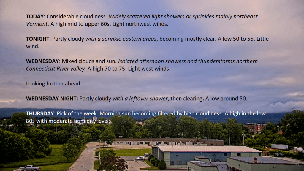
TODAY: Considerable cloudiness. Widely scattered light showers or sprinkles mainly northeast Vermont. A high mid to upper 60s. Light northwest winds.
TONIGHT: Partly cloudy with a sprinkle eastern areas, becoming mostly clear. A low 50 to 55. Little wind.
WEDNESDAY: Mixed clouds and sun. Isolated afternoon showers and thunderstorms northern Connecticut River valley. A high 70 to 75. Light west winds.
Looking further ahead
WEDNESDAY NIGHT: Partly cloudy with a leftover shower, then clearing. A low around 50.
THURSDAY: Pick of the week. Morning sun becoming filtered by high cloudiness. A high in the low 80s with moderate humidity levels.
FRIDAY: A chance for early morning showers and possible thunderstorms NW. Vermont exiting to partial afternoon sun. A muggy low 60 to 65. A high near 80.
SATURDAY: Bright sun and blue skies though a bit cool. A low 45 to 50. A high upper 60s to around 70.
SUNDAY: Sunshine becoming filtered by high clouds. A low near 45. Comfortable. A high around 75.
Average lows upper 40s to around 55. Average high in the middle 70s.
Summer Solstice 4:51 PM Thursday June 20th
Full Strawberry Moon 9:08 PM Friday June 21st…
RH/6-11forecast][end]
TONIGHT: A leftover isolated sprinkle Northeast Kingdom early, otherwise mostly cloudy. Isolated patchy valley fog. A low near 50. Light northwest winds.
TOMORROW: Considerable cloudiness. Widely scattered light showers or sprinkles mainly northeast Vermont. A high upper 60s. Light northwest winds.
TUESDAY NIGHT: Partly cloudy with a sprinkle eastern areas, becoming mostly clear. A low 50 to 55. Little wind.
WEDNESDAY: Mixed clouds and sun. Widely scattered showers, with a few rumbles of thunder Northeast Kingdom. A high in the upper 60s near 70. Light west winds.
Looking further ahead
WEDNESDAY NIGHT: Partly cloudy with a leftover shower, then clearing. A low upper 40s to around 50.
THURSDAY: Pick of the week. Lots of sunshine becoming filtered by high clouds. A high about 80 with low to moderate humidity.
FRIDAY: A chance for early morning showers and possible thunderstorms exiting in the morning then increasing sunshine. A muggy low around 60. A high 75 to 80 and less humid.
SATURDAY: Bright sun and blue skies though a bit cool. A low 40 to 45. A high upper 60s to around 70.
SUNDAY: Sunshine becoming filtered by high clouds. A low 40 to 45. Comfortable. A high low to mid 70s.
Average lows upper 40s to around 55. Average high in the middle 70s.
Summer Solstice 4:51 PM Thursday June 20th
Full Strawberry Moon 9:08 PM Friday June 21st…
RH/6-10forecast][end]

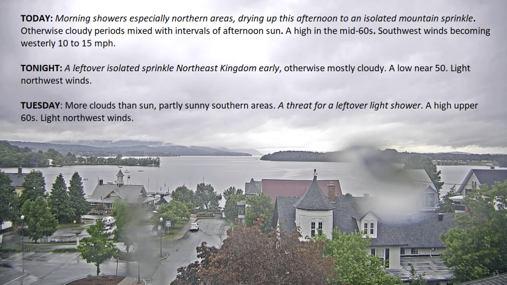
TODAY: Morning showers especially northern areas, drying up this afternoon to an isolated mountain sprinkle. Otherwise cloudy periods mixed with intervals of afternoon sun. A high in the mid-60s. Southwest winds becoming westerly 10 to 15 mph.
TONIGHT: A leftover isolated sprinkle Northeast Kingdom early, otherwise mostly cloudy. A low near 50. Light northwest winds.
TUESDAY: More clouds than sun, partly sunny southern areas. A threat for a leftover light shower. A high upper 60s. Light northwest winds.
Looking further ahead
TUESDAY NIGHT: Scattered clouds. Slight chance for a brief shower. A low 50 to 55.
WEDNESDAY: Mixed clouds and sun. Widely scattered showers in the afternoon, with a rumble of thunder Northeast kingdom. A high in the upper 60s near 70.
THURSDAY: Pick of the week. Lots of sunshine becoming filtered by high clouds. A low upper 40s to around 50. A high around 80.
FRIDAY: Morning clouds then partial sunshine. A chance for early morning showers and possible thunderstorms. A low near 60. A high 75 to 80.
Average lows upper 40s to around 55. Average high in the middle 70s.
Summer Solstice 4:51 PM Thursday June 20th
Full Strawberry Moon 9:08 PM Friday June 21st…
RH/6-10forecast][end]

TONIGHT: Scattered showers with a rumble or two early, drying up by later this evening then partly cloudy. A low 50 to 55. Light southwest winds.
TOMORROW: Lots of clouds & breezy.Scattered afternoon showers with a rumble or two of thunder northern areas.A high mid to upper 60s. West breeze 10 to 15 mph.
SATURDAY NIGHT: Am isolated early evening shower, otherwise cloudy with few sprinkles late toward daybreak.A low in the low 50s. Light southwest winds.

SUNDAY: Chance for showers in the morning, becoming widely scattered later on. Intervals of sunshine. A high in the mid to upper 60s. Southwest winds 10 to 15 mph.
Looking further ahead
SUNDAY NIGHT: Scattered evening clouds, with a sprinkle. Clouding up after midnight. A low in the upper 40s.

MONDAY: Morning sun, then mostly cloudy. Scattered mountain sprinkles. A high around 65.
TUESDAY: Clouds with a few intervals of sunshine. Scattered mountain sprinkles. A low mid-50s. A high around 70.
WEDNESDAY: Partly to mostly cloudy. Maybe a mountain sprinkle. A low 50 to 55. A high around 75.
Average lows mid-40s to low 50s. Average highs 70 to 75.
RH/6-7forecast][end]
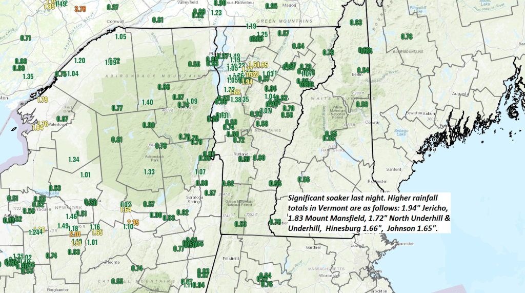
TODAY: Dense morning fog burns off to a mix of sun and clouds.Scattered afternoon showers with a few thunderstorms especially Champlain Valley and northern tier. A high near 75, not so humid. Southwest breeze 10 mph.
TONIGHT: Mostly cloudy. Scattered showers drying up. A low in the lower 50s. Light southwest winds.
SATURDAY: Lots of clouds & breezy.Scattered afternoon showers with a rumble or two of thunder northern areas.A high in the upper 60s. West breeze 10 to 15 mph.

Looking further ahead
SATURDAY NIGHT: Scattered showers drying up early. Cloudy Chance for more showers arriving toward daybreak. A low 50 to 55.
SUNDAY: Partly to mostly cloudy & cool. Chance for showers. A high in the upper 60s.
MONDAY: Morning sun, then mostly cloudy. Scattered mountain sprinkles. A low around 50. A high around 65.
TUESDAY: Clouds with a few intervals of sunshine. Scattered mountain sprinkles. A low around 50. A high upper 60s.
WEDNESDAY: Partly to mostly cloudy. Maybe a mountain sprinkle. A low 50 to 55. A high low to mid 70s.
Average lows mid-40s to low 50s. Average highs 70 to 75.
RH/6-7forecast][end]
