Updated Wednesday Morning forecast — September 16th, 2020

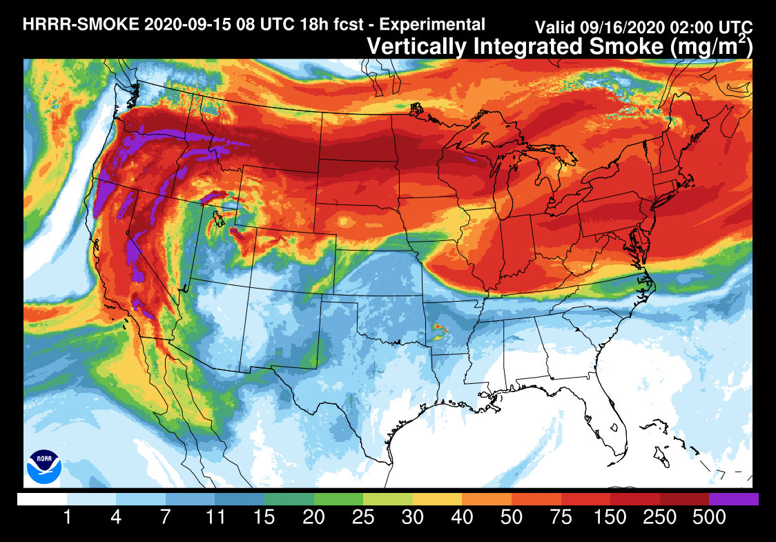
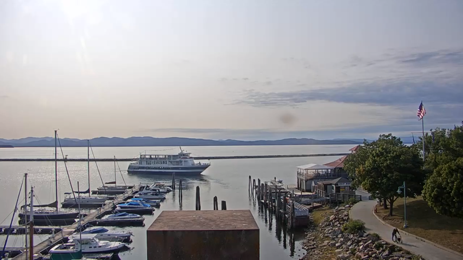
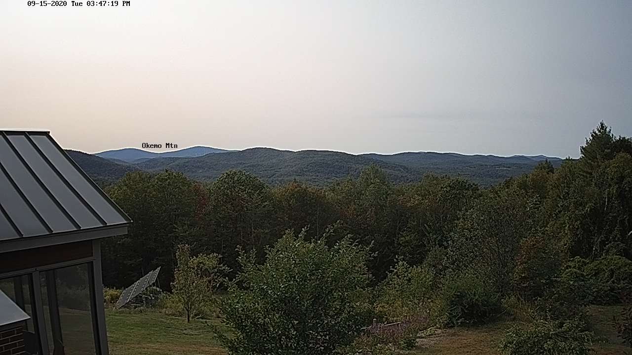
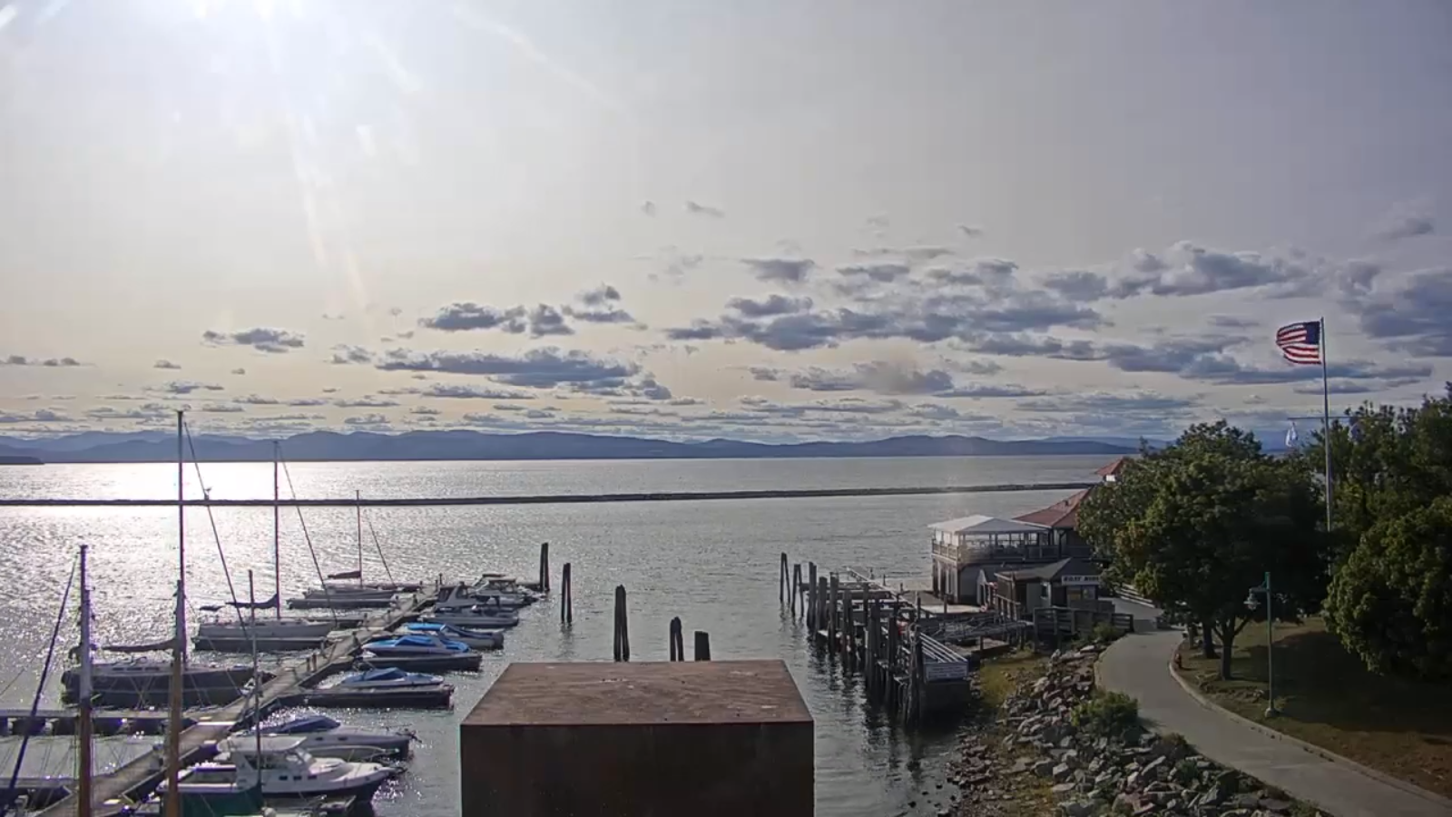
TODAY: Pick of the week. Hazy sunshine. Milder with a high around 75. South to southwest breeze 10 to 15 mph.

TONIGHT: Fair early then increasing clouds. Rising chance for rain showers before daybreak northern areas. A low 50 to 55. Light south breeze.
THURSDAY: Cloudy. Scattered rain showers…exiting late. Partial late day clearing developing northern areas. Breezy especially in the Champlain Valley. A high in the low 60s. South to southwest breeze 10 to 20 mph.

Looking further ahead…

THURSDAY NIGHT: Partly cloudy maybe a shower far south…otherwise becoming mostly clear. A low in the upper 30s.
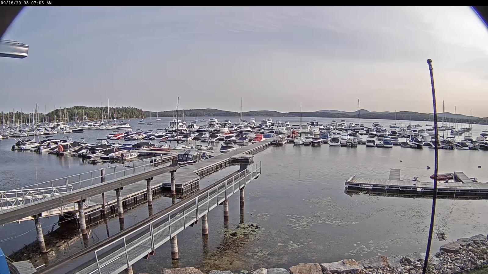
FRIDAY: Morning fog burns off to bright sunshine. A high in the upper 50s around 60.

SATURDAY: Morning fog with possible frost, then partly to mostly sunny. A low in the low to mid 30s with areas of frost. A high in the mid-50s.

SUNDAY: Sunshine mixed with a few afternoon clouds. A low in the low 30s with areas of frost. A high around 55.

MONDAY: Partly sunny. A low in the low 30s with areas of frost. A high in the upper 50s to around 60.
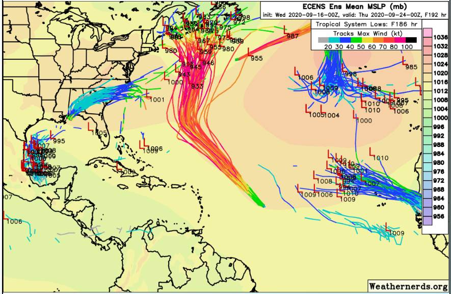
Average lows 45 to 50, Average highs mid-60s to around 70.

RH/9-16[end]
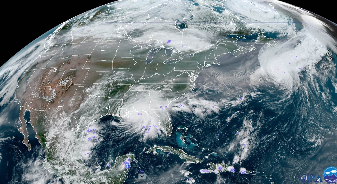
Updated Tuesday Evening Forecast — September 15th, 2020

TONIGHT: Mostly clear most areas with scattered clouds northern border areas. A low in the upper 40s. Light south winds.

TOMORROW: Pick of the week. Sunshine galore with a few high clouds. Milder and comfortable with a high around 75. South to southwest breeze 10 to 15 mph.

WEDNESDAY NIGHT: Fair early then increasing clouds. Rising chance for rain showers before daybreak northern areas. A low 50 to 55. Light south breeze.

THURSDAY: Cloudy. Scattered rain showers…exiting late. Partial late day clearing developing northern areas. Breezy especially in the Champlain Valley. A high 60 to 65. South to southwest breeze 10 to 20 mph.

Looking further ahead…

THURSDAY NIGHT: Partly cloudy maybe a shower far south…otherwise becoming mostly clear. A low in the upper 30s.

FRIDAY: Morning sunshine after valley fog. A high in the upper 50s.

SATURDAY: Morning fog with possible frost, then mostly sunny. A low around 35. A high 55 to 60.

SUNDAY: Sun and clouds. A low in the 30s. A high in the upper 50s.

Average lows 45 to 50, Average highs mid-60s to around 70.

RH/9-15[end]

Updated Tuesday Morning Forecast — September 15th, 2020

TODAY: Lots of sunshine after morning fog. Remaining crisp and cool with a high in the low to mid 60s. Light west to southwest winds.

TONIGHT: Mostly clear with scattered clouds northern border areas. A low in the upper 40s. Light south winds.

WEDNESDAY: Pick of the week. Sunshine galore with a few high clouds. Milder and comfortable with a high around 75. South to southwest breeze 10 to 15 mph.

Looking further ahead…

WEDNESDAY NIGHT: Fair early then increasing clouds. Rising chance for rain showers toward daybreak northern areas. A low in the upper 40s to around 50.

THURSDAY: Scattered rain showers exiting late. Partial late day clearing developing. A high 60 to 65.

FRIDAY: Morning sunshine after valley fog with high cloudiness southern areas. A low in the mid to upper 30s with a risk for frost north and central areas. A high in the upper 50s.

SATURDAY: Morning clouds then partly sunny. A low upper 30s to around 40. A high near 60.

SUNDAY: Mixed clouds and sun. A low 40 to 45. A high in the mid-50s.

Average lows 45 to 50, Average highs mid-60s to around 70.

RH/9-15[end]

2nd try Updated Monday Evening forecast — September 14th, 2020

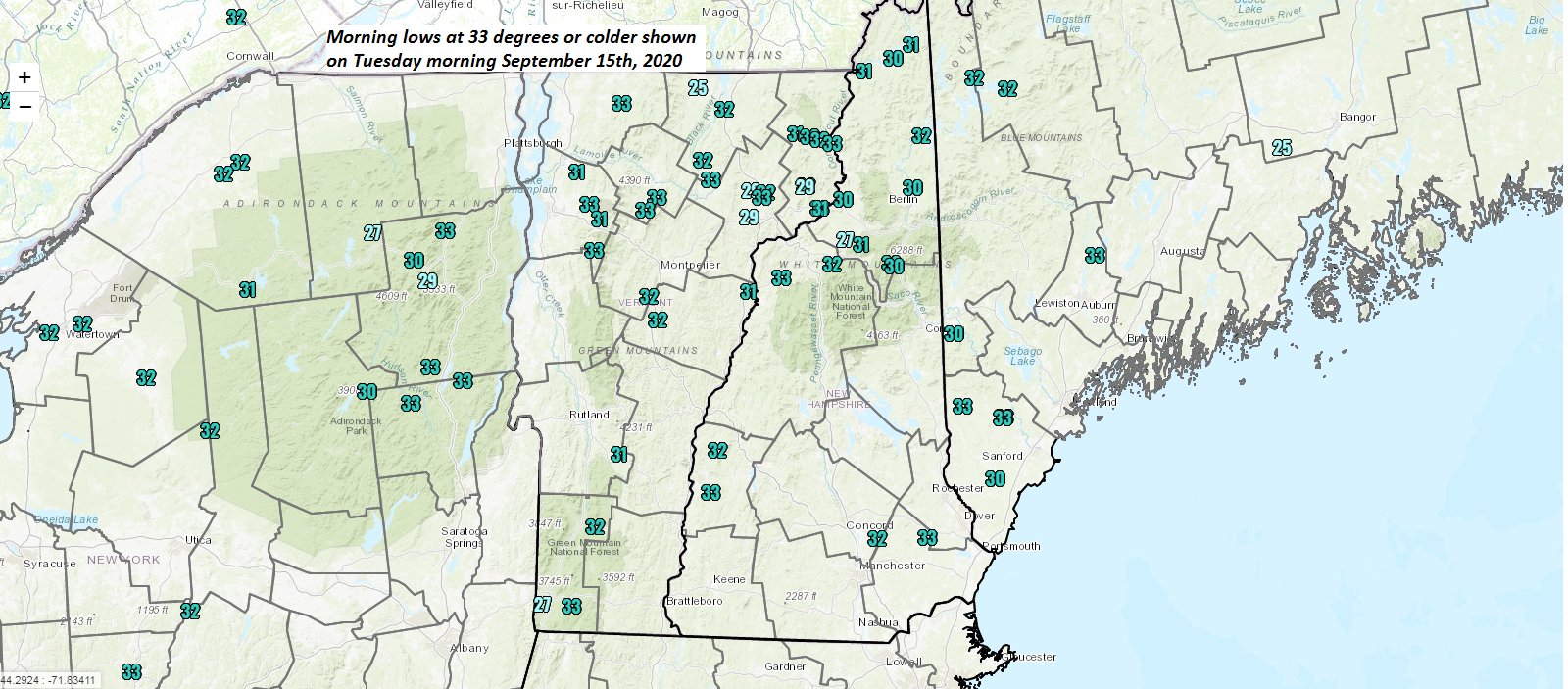
Frost Advisory overnight North central & Northeast Vermont – Freeze Warning Essex County

TONIGHT: Becoming mostly clear, with a few high clouds overnight. Patchy valley fog. A low in the low to mid 30s. Light northwest winds.

TOMORROW: Lots of sunshine, remaining crisp and cool. A high 60 to 65. Light west to southwest winds.

TUESDAY NIGHT: Mostly clear with a few high clouds. A low in the upper 40s. Light south winds.

WEDNESDAY: Partly sunny. A high reaching into the mid-70s. South to southwest breeze 10 to 15 mph.

Looking further ahead…

WEDNESDAY NIGHT: Fair early then mostly cloudy. Rising chance for rain showers after midnight. A low in the upper 40s.

THURSDAY: Scattered rain showers exiting in the afternoon. Some partial late day clearing. A high around 65.

FRIDAY: Sunshine mixed with clouds. Isolated showers far south. A low 35 to 40 with a risk for frost north and central area. A high in the low 60s.

SATURDAY: Morning clouds then partly sunny. A low in the 40s. A high in the 50s.

Average lows 45 to 50, Average highs mid-60s to around 70.

RH/9-14[end]

Updated Monday Morning forecast — September 14th, 2020

Frost Advisory overnight North central & Northeast Vermont – Freeze Warning Essex County

TONIGHT: Becoming mostly clear, with a few high clouds overnight. Patchy valley fog. A low in the low to mid 30s. Light northwest winds.

TOMORROW: Lots of sunshine, remaining crisp and cool. A high 60 to 65. Light west to southwest winds.

TUESDAY NIGHT: Mostly clear with a few high clouds. A low in the upper 40s. Light south winds.

WEDNESDAY: Partly sunny. A high reaching into the mid-70s. South to southwest breeze 10 to 15 mph.

Looking further ahead…

WEDNESDAY NIGHT: Fair early then mostly cloudy. Rising chance for rain showers after midnight. A low in the upper 40s.

THURSDAY: Scattered rain showers exiting in the afternoon. Some partial late day clearing. A high around 65.

FRIDAY: Sunshine mixed with clouds. Isolated showers far south. A low 35 to 40 with a risk for frost north and central area. A high in the low 60s.

SATURDAY: Morning clouds then partly sunny. A low in the 40s. A high in the 50s.

Average lows 45 to 50, Average highs mid-60s to around 70.

RH/9-14[end]

Monday night Weather

Frost Advisory overnight North central & Northeast Vermont – Freeze Warning Essex County

TONIGHT: Becoming mostly clear, with a few high clouds overnight. Patchy valley fog. A low in the low to mid 30s. Light northwest winds.

TOMORROW: Lots of sunshine, remaining crisp and cool. A high 60 to 65. Light west to southwest winds.

TUESDAY NIGHT: Mostly clear with a few high clouds. A low in the upper 40s. Light south winds.

WEDNESDAY: Partly sunny. A high reaching into the mid-70s. South to southwest breeze 10 to 15 mph.

Updated Monday Morning Forecast — September 14th, 2020

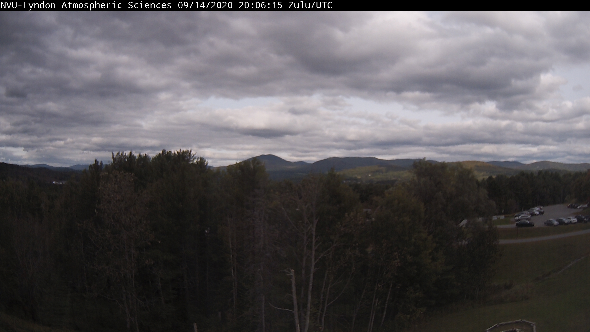
TODAY: Morning clouds, maybe a mountain sprinkle early. Increasing sunshine late morning on. Blustery at times. A high in the lower 60s. Northwest winds 10 to 25 mph with a few higher gusts.

Frost Advisory overnight North central & Northeast Vermont

TONIGHT: Mostly clear with a few high clouds. Patchy valley fog. A low in the low to mid 30s. Light northwest winds.

TUESDAY: Lots of sunshine crisp and cooler. A high 60 to 65. Light west winds.

Looking further ahead…

TUESDAY NIGHT: Mostly clear with a few more clouds northern areas. A low 45 to 50.

WEDNESDAY: Sunshine giving way to afternoon clouds northern areas. A high reaching into the mid-70s.

THURSDAY: Clouding up to a time. Chance for a few light rain showers. A low near 50. A high around 65.

FRIDAY: Sunshine mixed with clouds north. Otherwise cloudy south, Chance for lingering rain showers. A low in the upper 30s to around 40 north and near 50 south. A high 55 to 60.

Average lows 45 to 50, Average highs mid-60s to around 70.

RH/9-14[end]

Updated Monday Labor Day Morning Forecast — September 7th, 2020

Wind Advisory Northern Champlain Valley…thru this evening

TODAY: Sunshine mixing with more afternoon clouds. Breezy to windy at times late morning on. A high in the upper 70s to near 80. South winds 10 to 25 mph with few higher gusts. Winds stronger Champlain Valley gusts up to 50 mph..

TONIGHT: Partly cloudy. A low in the 50s. Light south winds.

TUESDAY: Partly to mostly sunny. Becoming more humid. A high 80 to 85. Light southwest breeze.

Looking further ahead…

TUESDAY NIGHT: Variable clouds. Widely scattered evening showers and thunderstorms northern Champlain Valley & Canadian border. Muggier. A low 60 to 65.

WEDNESDAY: Partly to mostly sunny with more clouds northern areas with a risk of a shower or thunderstorm. Muggy. A high in the mid-80s.

THURSDAY: Partly sunny in the morning with more clouds in the afternoon. A rising chance for mainly afternoon showers and thunderstorms. A low in the mid-50s. A high upper 70s to around 80.

FRIDAY: Lots of sun with more afternoon clouds. Sharply cooler. A low in the mid-40s. A high 60 to 65.

Average lows mid-40s to low-50s, Average highs upper 60s to mid-70s.

Admin – I will be on vacation starting Tuesday the 8th, and back next Monday the 14th…

RH/9-7-20[end]

Updated Friday evening Forecast — September 4th, 2020

TONIGHT: Scattered clouds, partially moonlit and comfortably cooler. Patchy valley fog. A low 45 to 50. Light southwest winds.

TOMORROW: Morning sun then a few more clouds in the afternoon. Cooler. A high 65 to 70. West breeze 10 to 20 mph.

SATURDAY NIGHT: Mostly clear and partially moonlit. Patchy valley fog. A low 45 to 50. Light southwest winds.

SUNDAY: Lots of sun giving way to variable cloudiness in the afternoon. A high in the upper 60s to near 70. Light west winds.

Looking further ahead…

SUNDAY NIGHT: Clear isolated patchy valley fog. A low 45 to 50.

MONDAY LABOR DAY: Morning fog then more sun than clouds. A high in the mid to upper 70s.

TUESDAY: Morning fog then, mostly sunny. Becoming more humid. A low in the 50s. A high in the low 80s.

WEDNESDAY: Morning fog then filtered sun through high clouds. Increasingly more muggy. A low around 60. A high in the mid-80s.

Average lows mid-40s to mid-50s, Average highs 70 to 75

RH/9-4-20[end]

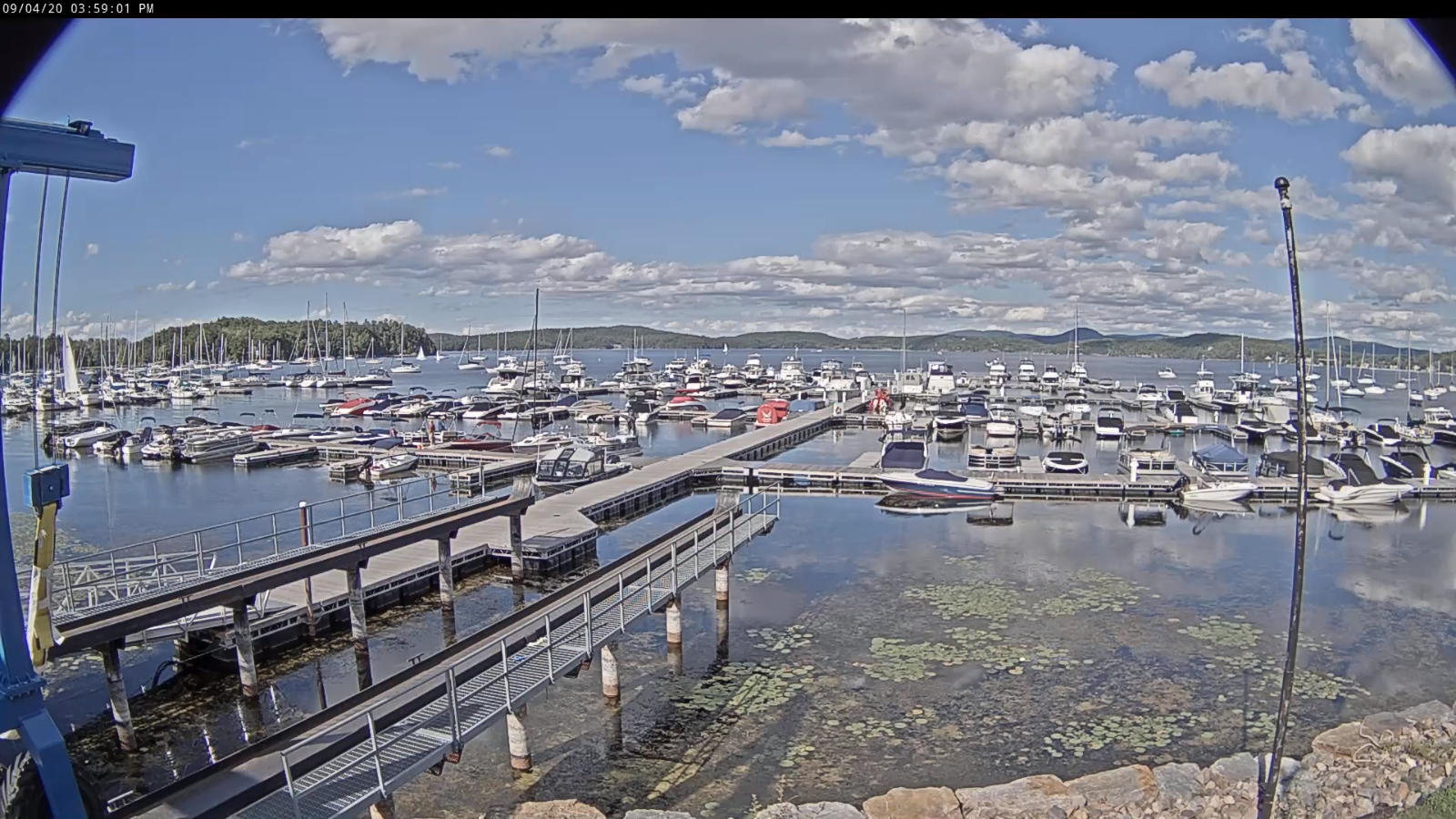
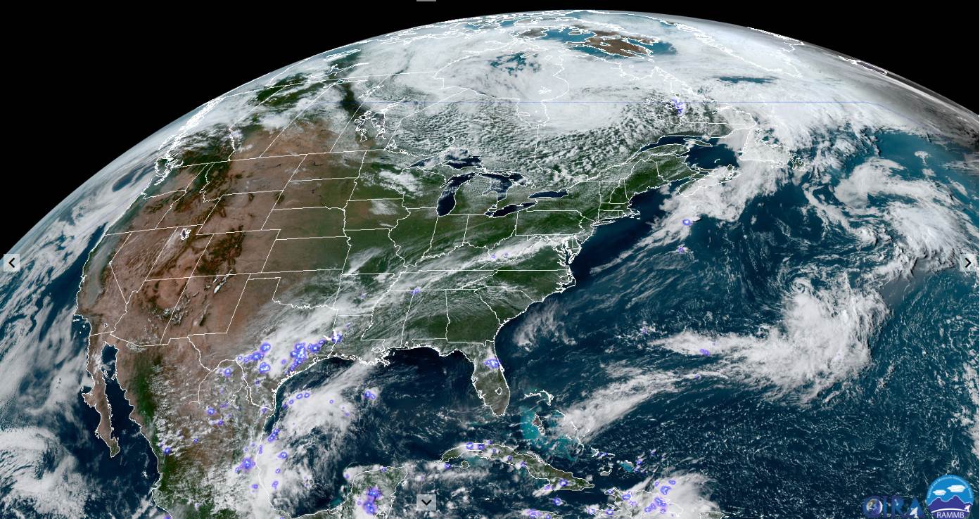
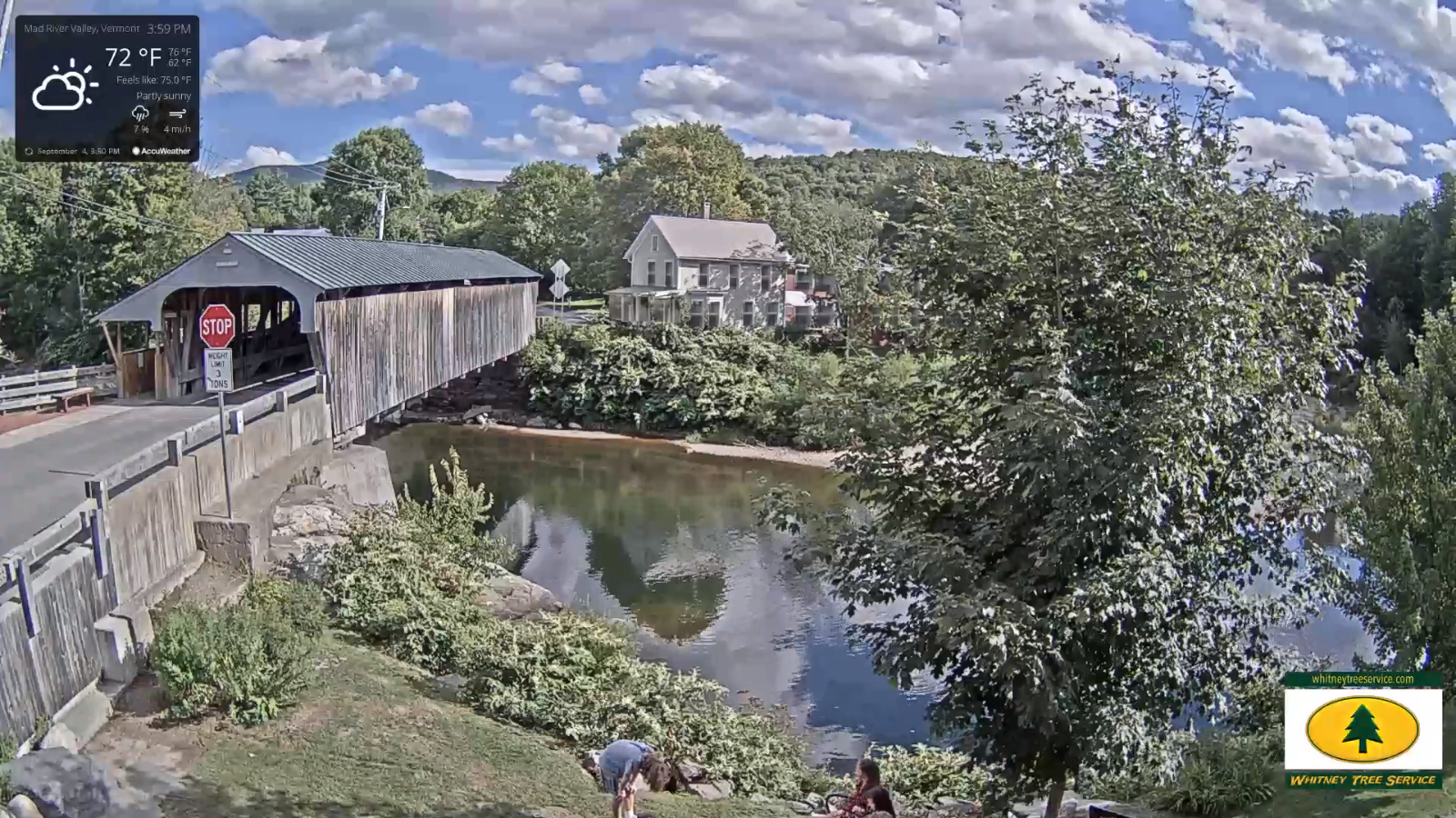
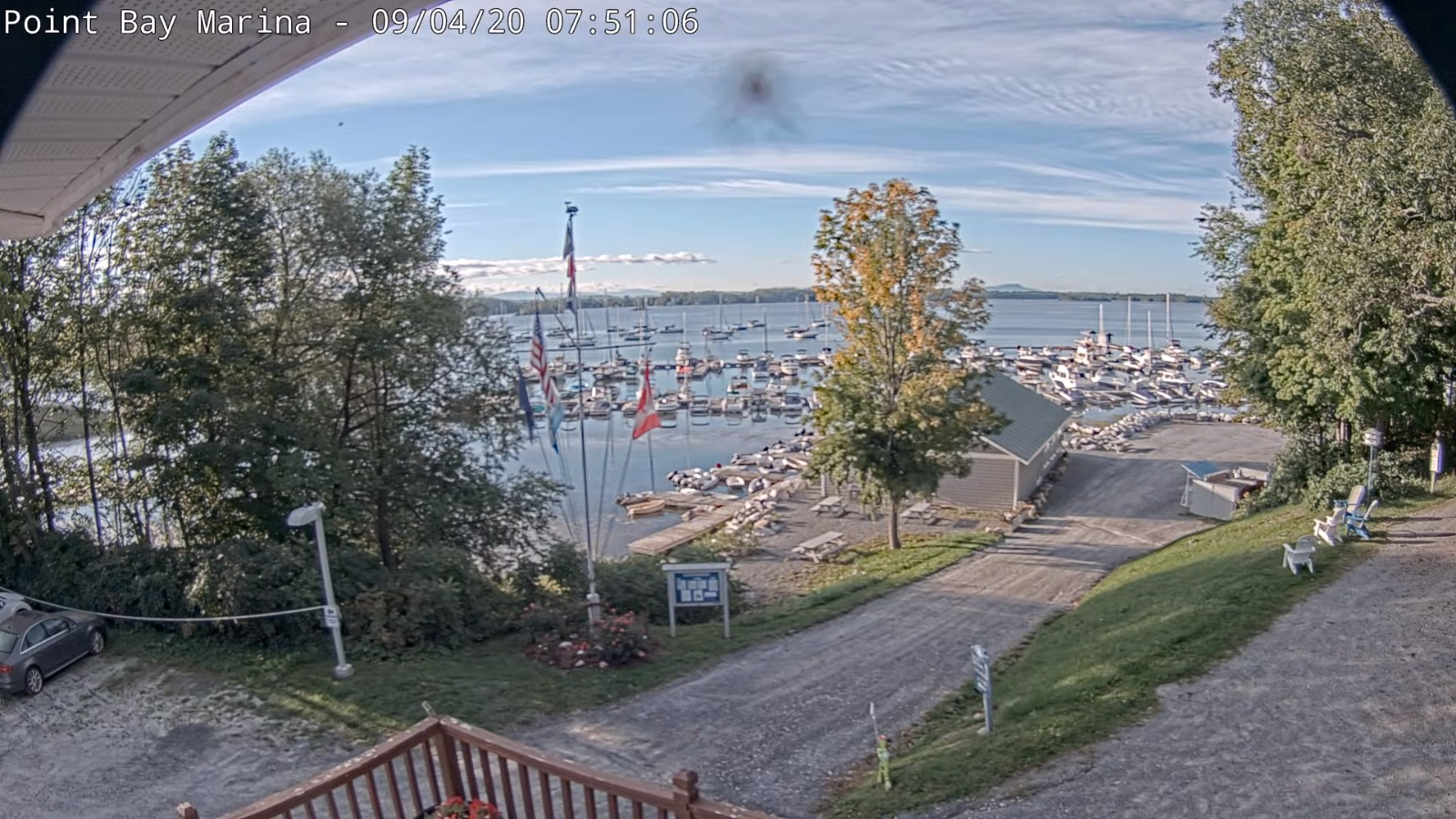
Updated Friday Morning Weather — September 4th, 2020

TODAY: A few morning clouds then mostly sunny followed by few more clouds this later today. Pleasant and comfortable. A high in the low 70s. West breeze 10 to 15 mph.

TONIGHT: Scattered clouds, partially moonlit and comfortably cooler. Patchy valley fog. A low 45 to 50. Light southwest winds.

SATURDAY: Morning sun then a few more clouds in the afternoon. Cooler. A high 65 to 70. West breeze 10 to 20 mph.

Looking further ahead…

SATURDAY NIGHT: Mostly clear and partially moonlit. Patchy valley fog. A low 45 to 50.

SUNDAY: Lots of sun giving way to variable cloudiness in the afternoon. A high in the upper 60s to near 70.

MONDAY LABOR DAY: Morning fog then more sun than clouds. A low 45 to 50. A high in the mid to upper 70s.

TUESDAY: Morning fog then, mostly sunny. A low in the 50s. A high in the low 80s.

WEDNESDAY: Morning fog then filtered sun through high clouds. Increasingly more muggy. A low around 60. A high in the mid-80s.

Average lows mid-40s to mid-50s, Average highs 70 to 75

RH/9-4-20[end]