Updated Wednesday Night Forecast — 1-8-25

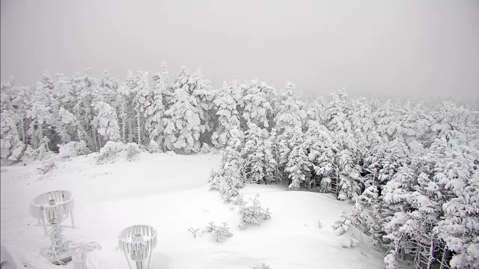
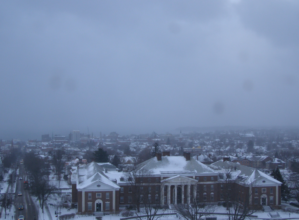
TONIGHT: Overcast. Scattered lingering snow showers or flurries especially northern areas. Dusting to a couple fluffy inches northern mountains. Little change in temperature.A low around 5 above. Northwest winds 10 to 15 mph.

TOMORROW: Mainly gray. Scattered lingering snow showers or flurries mainly northern areas. Dusting to an inch. Not as cold. A high 15 to 20. Northwest winds 10 to 20 mph.

THURSDAY NIGHT: Considerable clouds. Scattered flurries with minor accumulations. A low mid-teens. Northwest winds 10 to 15 mph.

FRIDAY: A stray northern flurry, Otherwise clouds with intervals of sun eastern and southern areas. A high around 20. Northwest winds 10 mph.

Looking further ahead

FRIDAY NIGHT: Thickening clouds…leading to a rising chance for light snow showers/flurries late overnight. A low 10 to 15.

SATURDAY: Gray. Chance for light spotty accumulating snow or flurries. A high lower 20s.

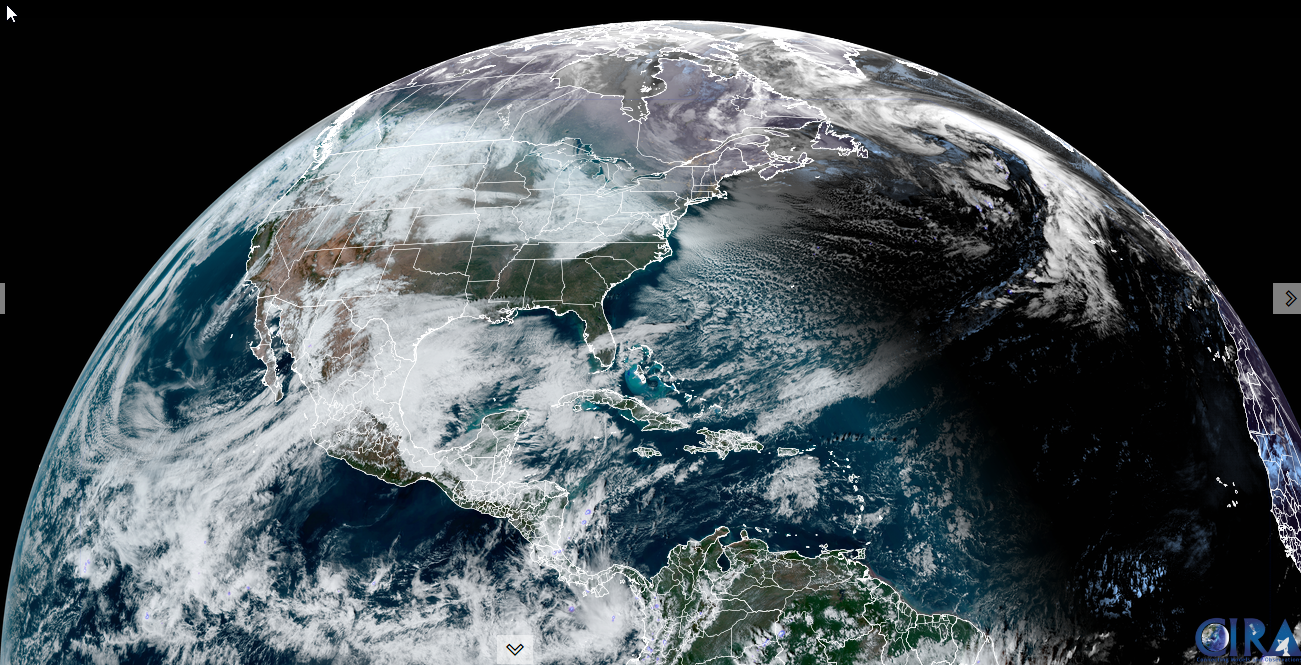
SUNDAY: Maybe an early flurry, otherwise clouds mixing with sunny intervals. A low 10 to 15. A high around 25. (to feel like a mild day)

Full Wolf Moon Monday at 5:27 PM

MONDAY: Scattered northern flurries early. Otherwise clouds mixing with a few breaks of sun. A low around 10. A high in the mid-20s.

Average low ranging thru the single digits. Average high mid-20s to near 30.

Peak Meteorological Winter 1-23-25

RH/1-8-25forecast][end]

Updated Monday night Forecast — July 1st, 2024

TONIGHT: Clear skies.A low in the low 50s.Little wind.

TUESDAY: Lots of sunshine with a few high clouds. A high 75 to 80. Light northwest winds.

TUESDAY NIGHT: Fair skies with high cloudiness. A low mid to upper 50s. Light southeast winds.

WEDNESDAY: More clouds than sun in the morning then partly to mostly sunny. A high upper 70s near 80. South to southwesterly breeze 10 to 15 mph…stronger near Lake Champlain.

Looking further ahead

WEDNESDAY NIGHT: Cloudy periods. Scattered showers and isolated rumbles of thunder developing toward midnight, exiti

ng before daybreak. A low in the upper 60s.

THURSDAY Independence Day: Some leftover morning clouds, then partly to mostly sunny. Muggy and warm, a high 80 to 85.

FRIDAY: Some morning clouds, then mostly sunny. Slight chance for an afternoon shower or thunderstorm. A low around 65. A high near 85

SATURDAY: Variable clouds. Scattered mainly afternoon showers and thunderstorms. A low 65 to 70. A high 80 to 85.

Average lows low to mid 50s. Average high upper 70s to lower 80s

RH/7-1forecast][end]

Updated Monday Morning Forecast — July 1st, 2024

TODAY: Clouds with an isolated sprinkle early. Becoming partly to mostly sunny and pleasantly cool.A high around 70. Northwest breeze 10 mph.

TONIGHT: Clear skies.A low about 50.Little wind.

TUESDAY: Lots of sunshine with a few high clouds. A high in the upper 70s. Light northwest winds.

Looking further ahead

TUESDAY NIGHT: Fair in the evening then high cloudiness. A low in the mid-50s.

WEDNESDAY: Mixed clouds and sun. A high around 80.

THURSDAY Independence Day: Widely scattered showers and a rumble or two of thunder early morning hours, then partly to mostly sunny. A low 65 to 70. A high 80 to 85.

FRIDAY: Some morning clouds, then mostly sunny. A low in the low to mid 60s. A high in the low 80s.

Average lows low to mid 50s. Average high upper 70s to lower 80s

RH/7-1forecast][end]

Updated Friday Evening Forecast — June 28th, 2024

TONIGHT: Increasing & thickening clouds.A low 50 to 55. Southeast winds 10 mph, becoming stronger near the lake overnight.

TOMORROW: Gray and gradually more humid. Scattered showers developing western and northern areas, becoming more frequent & heavy at times late in the afternoon. A high in the low 70s. Increasingly humid. South breeze 10 to 20 mph stronger & gusty near Lake Champlain.

SATURDAY NIGHT: Cloudy. Showers and a few embedded heavy thunderstorms likely in the evening…tapering to a few showers by daybreak. A low in the mid-60s. South to southwest breeze 10 to 15 mph.

SUNDAY: Morning clouds, then partly sunny. Widely scattered showers and strong to possibly severe thunderstorms northern areas. Muggy. A high about 80. Southwest winds becoming northwesterly 10 to 20 mph

Looking further ahead

SUNDAY NIGHT: Scattered evening showers and thunderstormsgives way to clearing skies. A low 55 to 60.

MONDAY: Partly to mostly sunny. A high in the low 70s.

TUESDAY: Mostly sunny & a beauty. A low around 50. A high 75 to 80.

WEDNESDAY: Increasing clouds. A low around 60. A high 80 to 85.

Average lows low to mid 50s. Average high mid-70s to low 80s

RH/6-28forecast][end]

Updated Friday morning Forecast — June 28th, 2024

TODAY: Bright sunshine and blue skies. Comfortably cool with low humidity. A high in the mid to upper 60s. Light northwest winds.

TONIGHT: Increasing & thickening clouds.A low in the low 50s. Light south to southeast winds stronger near the lake.

SATURDAY: Gray. Scattered showers developing, becoming more frequent & heavy at times later in the afternoon. A high in the mid-70s and increasingly humid. South breeze 10 to 20 mph stronger & gusty near Lake Champlain.

Looking further ahead

SATURDAY NIGHT: Cloudy. Showers and a few embedded heavy thunderstorms likely in the evening…tapering to a few showers by daybreak. A low in the mid to upper 60s.

SUNDAY: Morning clouds, then partly sunny. Scattered showers and strong to locally severe thunderstorms possible with gusty winds. Muggy. A high near 80.

MONDAY: Mixed clouds and sun. Widely scattered afternoon showers & thunderstorms. A low in the mid to upper 50s. A high 70 to 75.

TUESDAY: Mostly sunny. A low around 50. A high 75 to 80.

Average lows low to mid 50s. Average high mid-70s to low 80s

RH/6-28forecast][end]