My Updated Wednesday Night Forecast — May 14th, 2025

Roger Hill’s Radio Vermont Forecast 3:00 PM WEDNESDAY 5-14-25

TONIGHT: Partly to mostly cloudy. Maybe an isolated sprinkle. A low mid to upper 50s. Light southeast winds.

TOMORROW: More clouds and sun. A bit humid. Isolated afternoon showers. Maybe a rumble of thunder. A high near 75. South to southeast winds 10 mph.

THURSDAY NIGHT: Partly cloudy early, then more cloudiness. A low mid to upper 50s. Light south winds.

FRIDAY: Mixed sun and clouds. A little muggy. Chance for late afternoon showers and a few thunderstorms. A high mid to upper 70s. South breeze 10 mph, stronger near Lake Champlain.

Looking further ahead

FRIDAY NIGHT: Partly to mostly cloudy. Scattered evening showers and thunderstorms especially northern western Vermont. Lows upper 50s around 60.
SATURDAY: Partial morning sun the clouding up. Scattered late day & evening showers and thunderstorms, some locally heavy. A high in the low 70s.

SUNDAY: Intervals of sun but lots of afternoon clouds. Chance for a few showers. Cooler & not as humid. A low 50 to 55. Highs 60 to 65.

MONDAY: Gray and chilly. Chance for light showers northern/central areas. Lows 35 to 40. High only around 50.
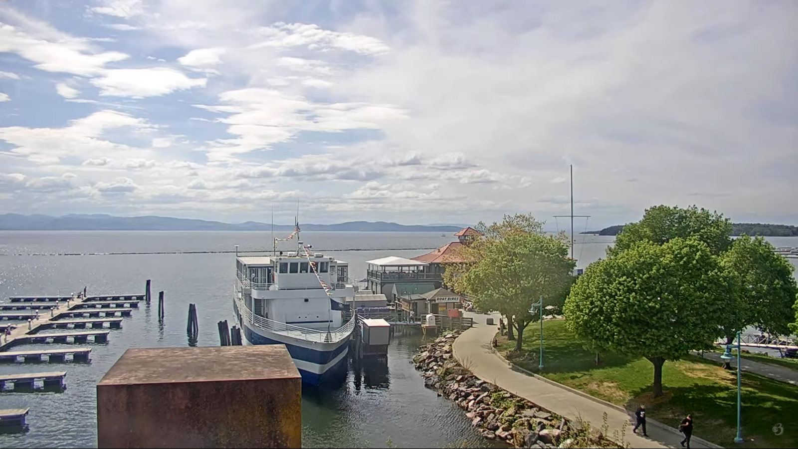
Average low: range upper 30s to mid-40s. Average highs: mid to upper 60s.

Start of Meteorological Summer June 6th. (Warmest 90 days climatology)

Summer Solstice June 20th 10:41 PM EDT

Admin: Note no weather issued Thursday, back Friday 3:00 PM.

RH/5-14[forecast][end]
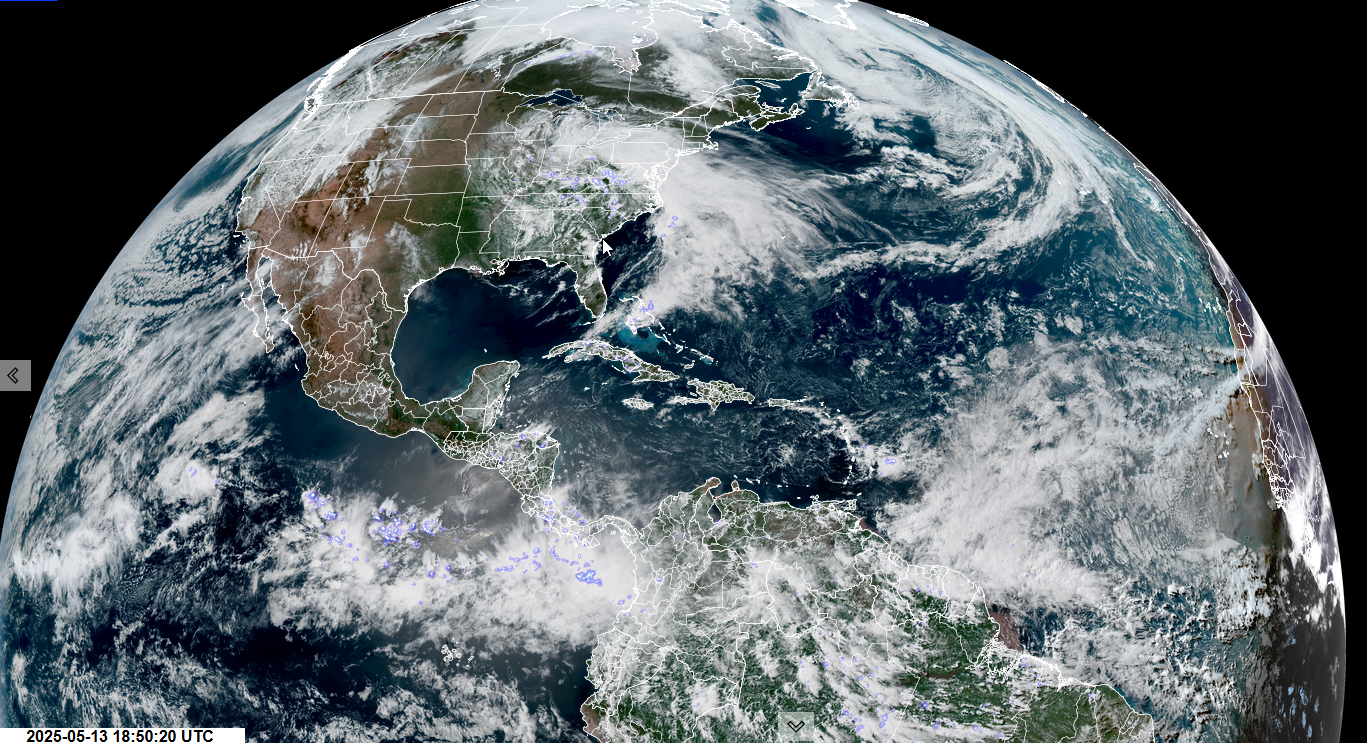
My Updated Tuesday Night Forecast — May 13th, 2025

Roger Hill’s Radio Vermont Forecast 3:00 PM TUESDAY 5-13-25

TONIGHT: Fair with high cloudiness. A low 45 to 50. Light southeast winds.

TOMORROW: More clouds than sunshine. Chance for a late day shower southern areas. A high 70 to 75. South to southeast breeze 10 mph.

WEDNESDAY NIGHT: Mostly cloudy. Scattered showers. A low 55 to 60. Light southwest winds.

THURSDAY: Mostly cloudy. A bit humid. Isolated to widely scattered afternoon showers. Maybe a rumble of thunder south. A high in the low 70s. Light south to southeast winds.

Looking further ahead

THURSDAY NIGHT: Lot of clouds. Maybe an isolated evening shower. A low mid to upper 50s.

FRIDAY: Mixed sun and clouds. A little muggy. Chance for showers and afternoon/evening thunderstorms. A high around 75.

SATURDAY: Partly sunny with more afternoon clouds. Scattered late day & evening showers and thunderstorms, some locally heavy. Lows upper 50s around 60. A high around 70.

SUNDAY: Partly to mostly sunny. Widely scattered showers and possible afternoon thunderstorms. Lows in the 50s. Highs in the 60s.

Average low: range upper 30s to mid-40s. Average highs: mid to upper 60s.

RH/5-13[forecast][end]
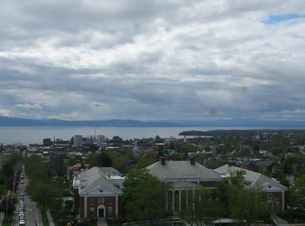
My Updated Monday Night Forecast — May 12th, 2025

Roger Hill’s Radio Vermont Forecast 3:00 PM MONDAY 5-12-25

TONIGHT: Clear and moonlit with high cloudiness overnight. A low 40 to 45. Light north winds.

TOMORROW: Filtered sunshine with high cloudiness. A high near 75. Southeast winds 10 mph.

TUESDAY NIGHT: Fair with high cloudiness. A low mid-40s. Light southeast winds.

WEDNESDAY: More clouds than sunshine. A high in the low to mid 70s. South to southeast breeze 10 mph.

Looking further ahead

WEDNESDAY NIGHT: Mostly cloudy. Scattered showers developing overnight. A low 55 to 60.

THURSDAY: Mostly cloudy and bit humid. Widely scattered afternoon/evening showers. Maybe a rumble of thunder. A high in the lower 70s.

FRIDAY: Mixed sun and clouds. A little muggy. Chance for showers and afternoon thunderstorms. A low upper 50s around 60. A high near 75.

SATURDAY: Partly sunny with more afternoon clouds. Scattered afternoon & evening showers and thunderstorms. Lows in the 50s. Highs in the 70s.

Average low: range upper 30s to mid-40s. Average highs: Mid to upper 60s.

RH/5-12[forecast][end]
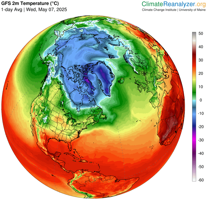
My Updated Friday Night Forecast — May 9th, 2025

Roger Hill’s Radio Vermont Forecast 3:00 PM FRIDAY 5-9-25

TONIGHT: Cloudy. Periods of rain…moderate at times. Lows in the mid-40s. Light north to northeast winds.

TOMORROW: Cloudy. Early light rain tapers to widely scattered showers. Still rather cool and bit blustery. A late day high around 55. North to northwest winds 10 to 20 mph.

SATURDAY NIGHT: Partly cloudy. A few sprinkles northeastern Vermont dry up early. Lows upper 30s near 40. Northwest winds 10 mph.

SUNDAY Mother’s Day: Bright sunshine blue skies. Still cool. A high around 55. Northwest winds 10 to 15 mph.

Looking further ahead

SUNDAY NIGHT: A mostly clear evening, then cloudy periods overnight. A low 35 to 40.

MONDAY: Scattered morning clouds then sunny. Above normal in temperature. A high around 70.

TUESDAY: Filtered sun then thickening clouds late. Maybe a late day sprinkle Champlain Valley. A little warmer. A low 45 to 50. A highs near 75

WEDNESDAY: Variable cloudiness. Slight chance for a shower. Lows in the 40s. Highs in the 70s.

Average low: range 35 to 40. Average highs: Low to mid 60s.

RH/5-9[forecast][end]
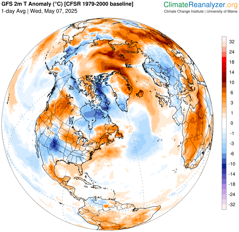
My Updated Thursday Night Forecast — May 8th, 2025

Roger Hill’s Radio Vermont Forecast 3:00 PM THURSDAY 5-8-25

TONIGHT: Overcast. Rain developing toward Midnight…moderate at times toward daybreak. A low near 45. Light north winds.

TOMORROW: Gray, wet & chilly. Soaking rain…moderate at times. A high in the lower 50s. Light east winds.

FRIDAY NIGHT: Cloudy. Periods of rain…moderate at times. Lows in the mid-40s. Light north to northeast winds.

SATURDAY: Gray and very wet. Chance for soaking rainfall. Still rather cool and bit blustery. Highs lower 50s. Northwest winds 10 to 15 mph.

Looking further ahead

SATURDAY NIGHT: Any leftover sprinkles dry up early, otherwise clearing and colder. Lows 35 to 40.

SUNDAY: A few morning clouds then sunny and dry. Warming trend. A high around 55.

MONDAY: Morning cloudy periods give way to lots of sunshine. A low 35 to 40. Above normal in temperature. A high in the low 70s.

TUESDAY: Filtered sunshine thru high clouds. A little warmer. A low 45 to 50. A highs 75 to 80.

Average low: range 35 to 40. Average highs: Low to mid 60s.

RH/5-7[forecast][end]
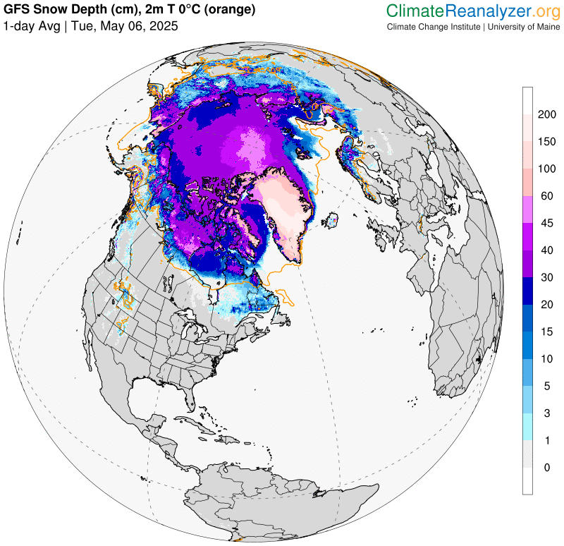
My Updated Wednesday Night Forecast — May 7th, 2025

Roger Hill’s Radio Vermont Forecast 3:00 PM WEDNESDAY 5-7-25

TONIGHT: Considerable cloudiness. A few leftover showers winding down in the evening. A low mid to upper 40s. Light west winds shifting to northwesterly.

TOMORROW: Clouds maybe a few breaks of sunshine with a sprinkle. Below normal in temperature. A high in the mid-50s. Light north to northwest winds.

THURSDAY NIGHT: Overcast. Rain developing toward Midnight…moderate at times toward daybreak. A low near 45. Light northeast winds.

FRIDAY: Gray & chilly. Soaking rain likely, moderate at times. A high just upper 40s near 50. Light east wind.

Looking further ahead

FRIDAY NIGHT: Cloudy. Good chance for periods of rain…moderate at times. Lows about 45.

SATURDAY: Gray and very wet. Chance for soaking rainfall. Still rather cool and bit blustery. Highs lower 50s.

SUNDAY: Morning clouds then bright sunshine and blue skies. Dry weather with a warming trend. Lows low to mid-40s. A high 55 to 60

MONDAY: Partly cloudy early then lots of sunshine. A low 35 to 40. A high in the lower 70s.

Average low: range 35 to 40. Average highs: Low to mid 60s.

RH/5-7[forecast][end]
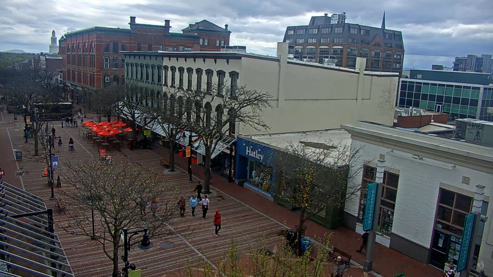
My Updated Tuesday Night Forecast — May 6th, 2025

Roger Hill’s Radio Vermont Forecast 3:00 PM TUESDAY 5-6-25

TONIGHT: Considerable cloudiness & damp. Scattered lingering showers with areas of fog. A low 50 to 55. Light southeast winds.

TOMORROW: Clouds with intervals of sunshine. Scattered mainly afternoon rain showers with a rumble or two. A high 60 to 65. Light south to southwest winds.

WEDNESDAY NIGHT: Considerable cloudiness. A few leftover showers winding down in the evening. A low mid to upper 40s. Light northwest winds.

THURSDAY: Clouds maybe a few breaks of sunshine with a sprinkle. Below normal in temperature. A high 50 to 55. Light northwest winds.

Looking further ahead

THURSDAY NIGHT: Lots of clouds. Good chance for rain developing…moderate at times. A low 40 to 45.

FRIDAY: Gray. Chilly. Chance for rain, moderate at times. A high just upper 40s.

SATURDAY: Chance for lingering showers exiting late to breaks of sun. Lows 40 to 45. Still rather cool. Highs mid to upper 50s.

SUNDAY: Morning clouds then mostly sunny. Lows low to mid-40s. A high 60 to 65.

Average low: range 35 to 40. Average highs: Low to mid 60s.

RH/5-5[forecast][end]
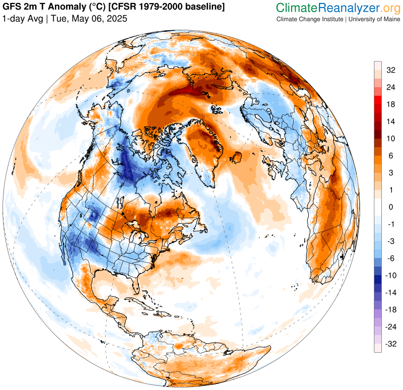
My Updated Monday Night Forecast — May 5th, 2025

Roger Hill’s Radio Vermont Forecast 3:00 PM MONDAY 5-5-25

TONIGHT: Overcast. Periods of light rain south and western Vermont, scattered rain showers northeast. A low 50 to 55. Light southeast winds.

TOMORROW: Continued gray. Periods of rain or rain showers moderate at times with a rumble of thunder possible. A high about 60. Southeast breeze 10 mph.

TUESDAY NIGHT: Considerable cloudiness. Lingering showers likely. A low mid-50s. Light south to southeast winds.

WEDNESDAY: Intervals of sunshine. Scattered rain showers with a chance for a thunderstorm or two. A high near 65. Light southwest winds.

Looking further ahead

WEDNESDAY NIGHT: Considerable cloudiness. A few leftover showers winding down in the evening. A low in the upper 40s.

THURSDAY: Clouds maybe a few breaks of sunshine with a sprinkle. Below normal in temperature. A high in the mid-50s.

FRIDAY: Gray. Chance for rain or showers mid-morning on. A low 40 to 45. Chilly. Highs lower 50s.

SATURDAY: Morning clouds then afternoon sunshine. Lows in the 40s. Still rather cool. Highs just in the 50s.

Average low: range 35 to 40. Average highs: Low to mid 60s.

RH/5-5[forecast][end]
My Updated Friday Night Forecast — May 2nd, 2025

Roger Hill’s Radio Vermont Forecast 3:00 PM FRIDAY 5-2-25

TONIGHT: Partial clearing after any early sprinkles then more clouds overnight. A low in the low 50s. Light southwest winds.

TOMORROW: Lots of clouds. Periods of rain or showers likely in the afternoon…moderate at times. Maybe some rumbles southern areas. A high upper 50s northern areas otherwise low 60s. Light northwest winds.

SATURDAY NIGHT: Considerable cloudiness. Chance for showers.A low near 45 cooler north. Light north winds.

SUNDAY: Cloudy, & cool. Chance for lingering showers. Highs upper 50s to low 60s. Light northeast winds.

Looking further ahead

SUNDAY: NIGHT: Lots of clouds. Chance for showers southern areas. A low mid to upper 40s.

MONDAY: Cloudy. Scattered afternoon showers southern & western Vermont. Highs 55 to 60.

TUESDAY: Gray. Damp. Chance for showers. Maybe a rumble of thunder. A low upper 40s. A high upper 50s to low 60s.

WEDNESDAY: Considerable clouds. Chance for showers, with isolated thunderstorms possible. A low around 55. A high about 65.

Average low: range mid-30s to around 40 rising rapidly. Average highs: 60 to 65 & slowly rising

RH/5-2[forecast][end]
My Updated Thursday Night Forecast — May 1st, 2025

Roger Hill’s Radio Vermont Forecast 3:00 PM THURSDAY 5-1-25

TONIGHT: Overcast. Showers develop late this evening…briefly moderate at times. A low mid to upper 40s. Southeast winds 10 to 15 mph.

TOMORROW: Morning clouds give way to intervals of sunshine.Scattered showers with some rumbles of thunder in the afternoon.Moderately humid. A high around 70. South winds 10 to 15 mph shifting to southwesterly.

FRIDAY NIGHT: Partly to mostly cloudy with scattered showers. A low around 50. Light west to southwest winds.

SATURDAY: Some occasional break of sun, but mainly gray. Rising chance periods of rain…moderate at times in the afternoon. Maybe some rumbles far south. A high around 60. Light northwest winds.

Looking further ahead

SATURDAY NIGHT: High clouds far north, otherwise cloudy. Chance for showers.A low near 40 north, upper 40s south.

SUNDAY: Cloudy, & cool. Chance for lingering showers. Highs 60 to 65.

MONDAY: Mostly cloudy. Slight chance for late afternoon showers southern & western areas. A low 40 to 45. Highs low 60s.

TUESDAY: Gray. Damp. Chance for showers. A low 45 to 50. A high 60 to 65.

Average low: range mid-30s to around 40 rising rapidly. Average highs: 60 to 65 & slowly rising

RH/4-30[forecast][end]