Updated Thursday Morning forecast — December 3rd, 2020

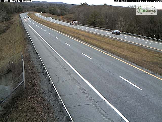
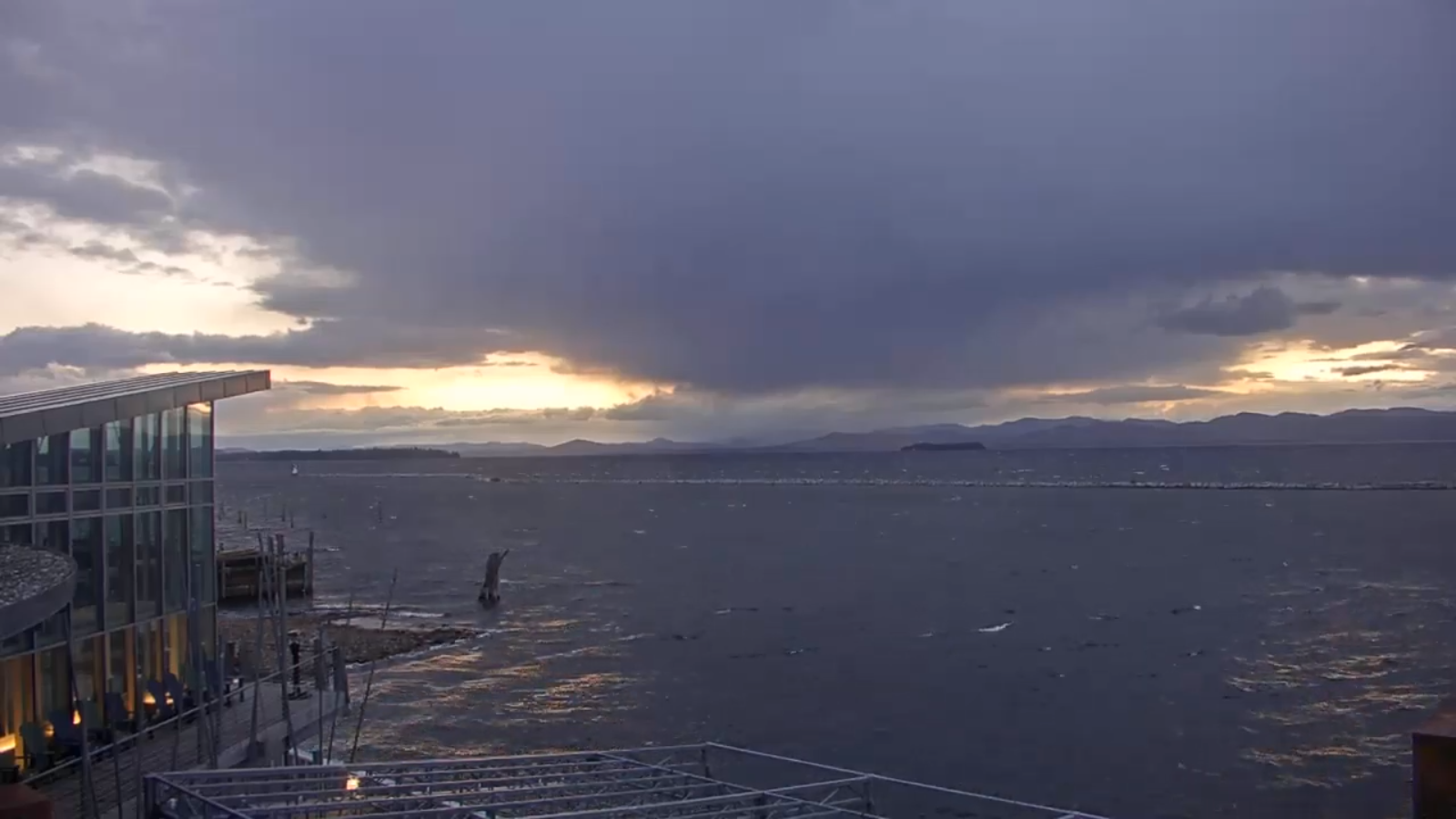
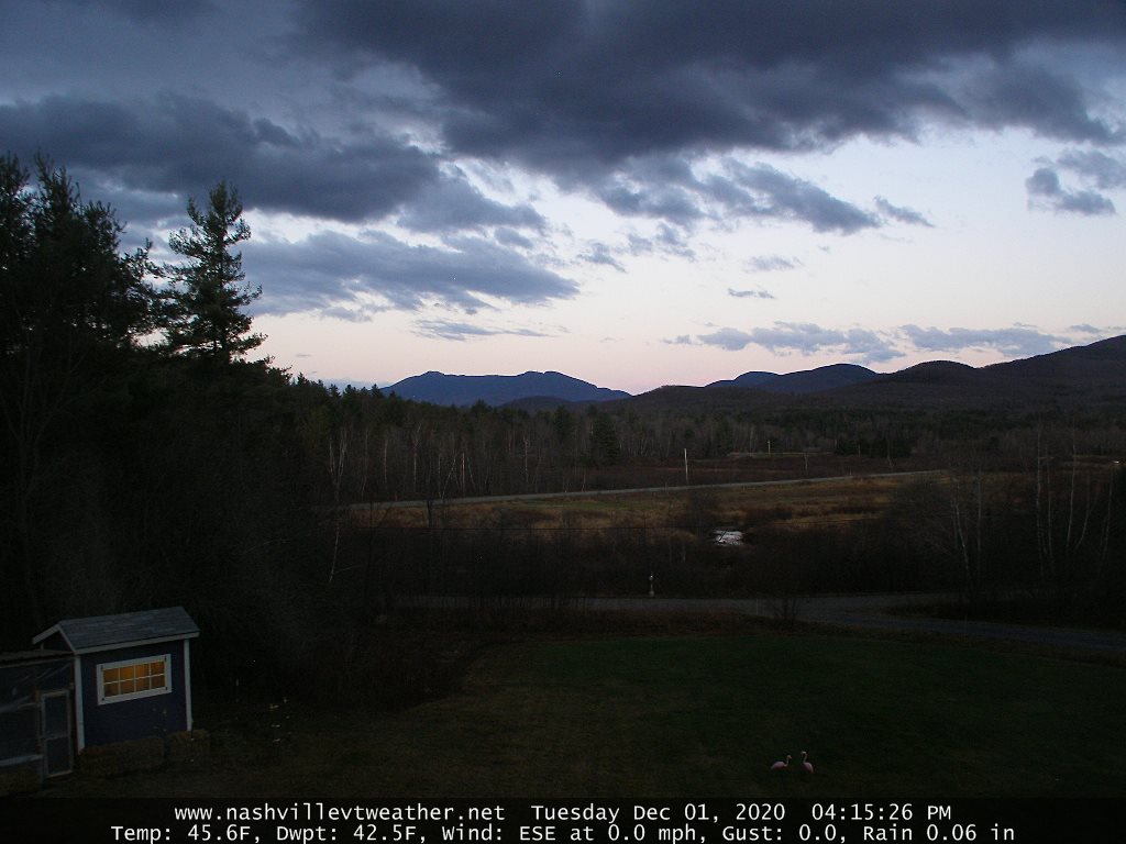
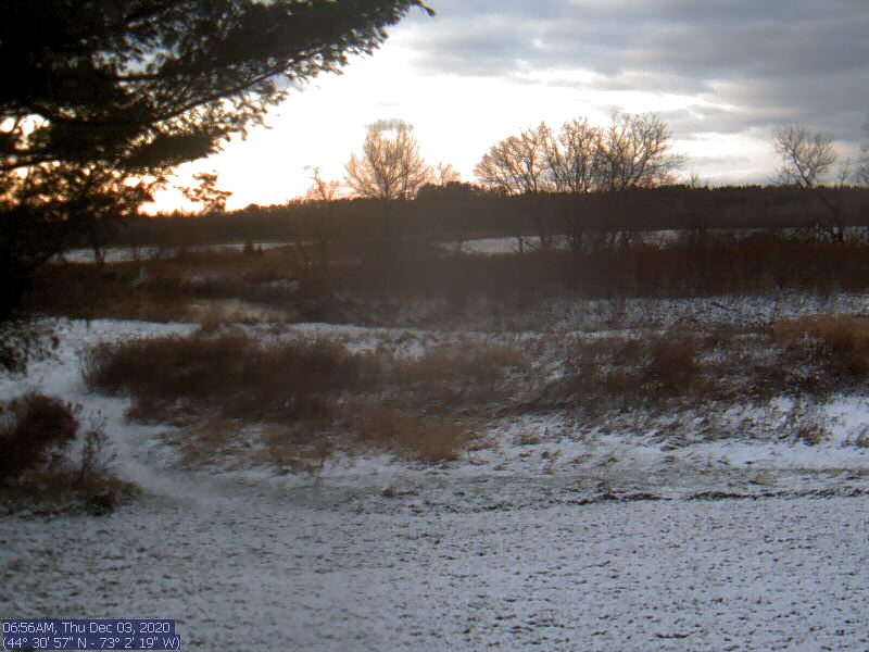
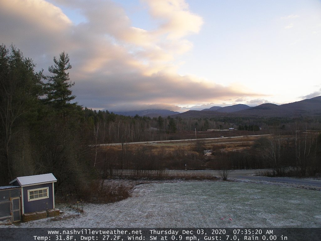
TODAY: Pick of the week. Clouds northern areas but with periods of sunshine otherwise before more clouds late. A high in the low 40s. Light south to southwest winds 10 mph.

TONIGHT: Variable mainly high clouds. A low around 30. Light south winds.
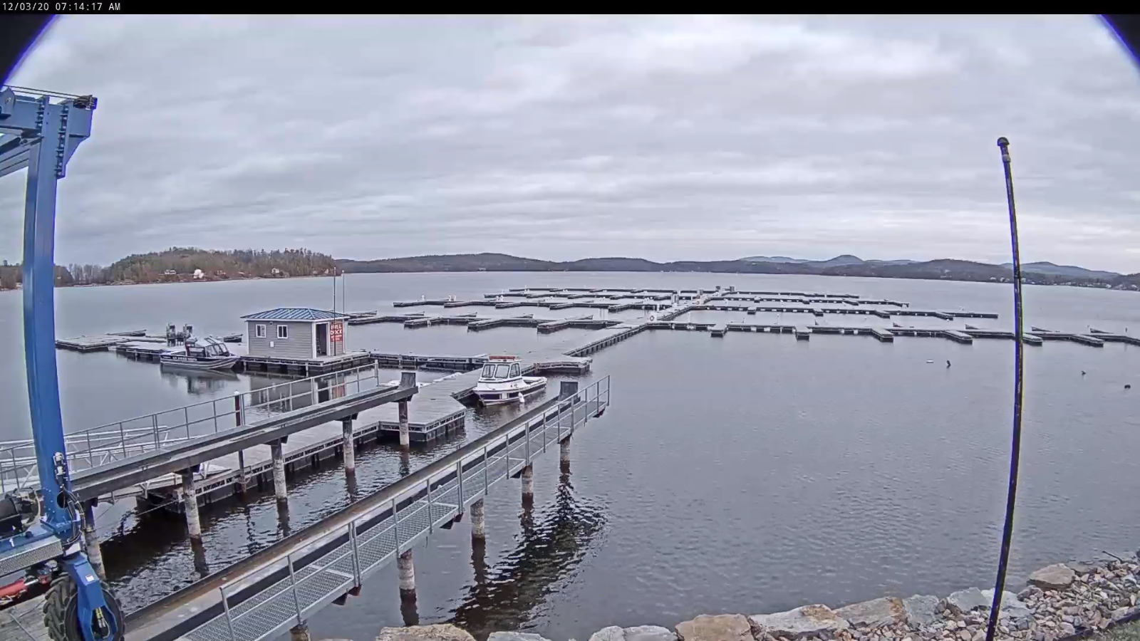
FRIDAY: Intervals of sun then clouding up late. Maybe a flurry far northern areas late. A high 40 to 45. South winds 10 mph.

Looking further ahead…

FRIDAY NIGHT: Considerable cloudiness. A low around 30.
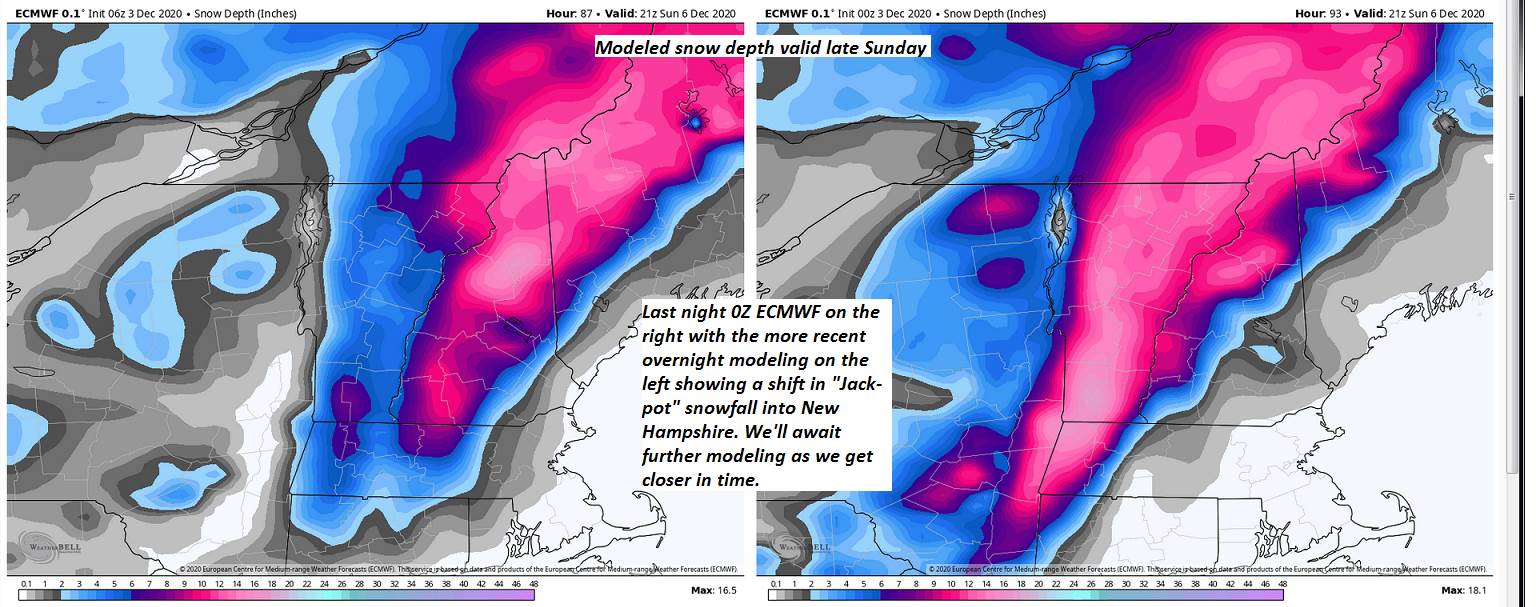
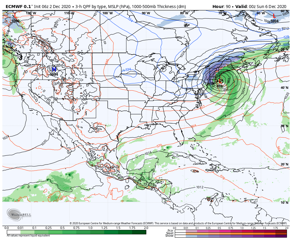
SATURDAY: Overcast. Good chance for wet snow accumulation developing south to north, moderate to locally heavy at times with significant accumulation of several inches. Becoming blustery with blowing and drifting snow…possible white-outs and very poor travel. A high in the mid-30s.

SUNDAY: Blustery & colder. Good chance for lingering snow showers especially northern areas, partly sunny southern areas with mountains flurries. Possible blowing and drifting. Temperatures holding in the mid-20s.

MONDAY: Clouds with intervals of sun. Chance for lingering mountain snow showers and valley flurries with additional accumulation possible. . A low in the upper teens. A high in the 20s.
TUESDAY: Partly sunny. A low around 20. A high mid to upper 20s.

Average low mid-teens to mid-20s, Average highs mid-30s to around 40.

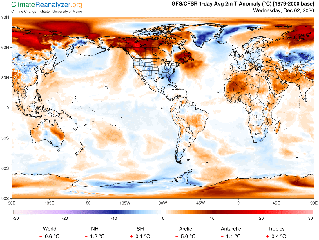
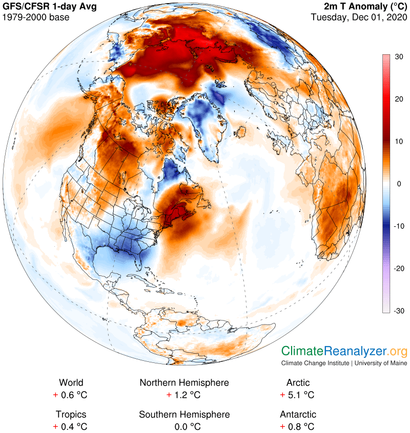
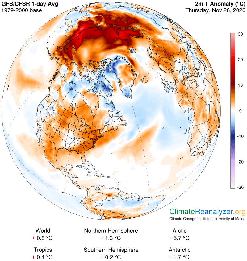
Meteorological winter begins December 12th. Peak of Winter (coldest averages) January 23rd. End of Winter March 9th… based off local climatology. Note* Conditions more variable due to a warming climate especially in the arctic.
RH/12-2 category forecast][end]
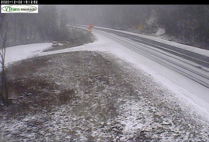
Updated Wednesday Evening Forecast — December 2nd, 2020

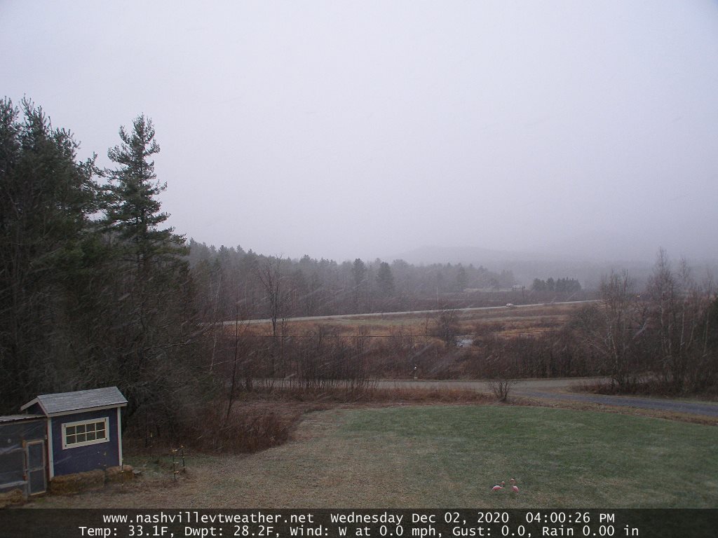
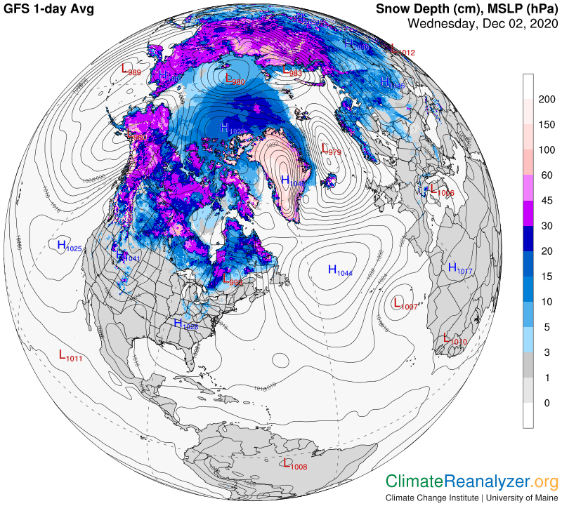
TONIGHT: Scattered light snow showers or flurries with a dusting grassy surfaces. Mixed rain and wet snow showers western Vermont for a time this evening, then exiting. Partial clearing. A low around 25. Light southwest winds.

TOMORROW: Pick of the week. Clouds northern areas but with periods of sunshine otherwise. A high in the low 40s. Light south to southwest winds 10 mph.

THURSDAY NIGHT: Variable mainly high clouds. A low near 32. Light south winds.

FRIDAY: Intervals of sun then clouding up late. Maybe a flurry far northern areas late. A high in the low 40s. South winds 10 mph.

Looking further ahead…

FRIDAY NIGHT: Considerable cloudiness. A low around 30.

SATURDAY: Overcast. Chance for wet snow accumulation developing south to north in the morning. A few inches possible by days end elevated terrain Northeast Kingdom. A high in the mid-30s.

SUNDAY: Blustery & turning colder. Periods of morning snow showers or flurries. Temperatures falling through the 20s.

MONDAY: Clouds with intervals of sun. Chance for a leftover mountain flurry. A low in the upper teens. A high in the 20s.

Average low mid-teens to mid-20s, Average highs mid-30s to around 40.

Meteorological winter begins December 12th. Peak of Winter (coldest averages) January 23rd. End of Winter March 9th… based off local climatology. Note* Conditions more variable due to a warming climate especially in the arctic.

RH/12-2 category forecast][end]
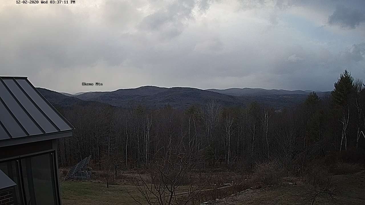
Updated Wednesday Morning Forecast — December 2nd, 2020

TODAY: Mainly cloudy & blustery in the afternoon. Scattered afternoon snow showers with light accumulation in the hills. A high in the mid-30s. Southwest winds 10 to 20 mph.

TONIGHT: A few light flurries in the evening exiting, then clearing partially moonlit. A low around 25. West to southwest winds 10 mph.

THURSDAY: Clouds northern areas but with periods of sunshine. A high around 40. Light south to southwest winds.

Looking further ahead…

THURSDAY NIGHT: Variable high clouds. A low 30 to 35.

FRIDAY: Clouds mixed with intervals of sun. Chance for rain showers mixed wet snow later in the afternoon developing southern Vermont. A high in the mid-40s.

SATURDAY: Overcast. Chance for rain…transitioning to wet snow. Moderate accumulation possible, especially in the Green Mountains. A low mid-20s. A high in the mid-30s.

SUNDAY: Blustery & turning colder. Periods of morning snow tapering to scattered snow showers & flurries. Temperatures falling through the 20s.

MONDAY: Mostly cloudy. Lingering widely scattered snow showers and flurries with light accumulation. A low in the upper teens. A high in the 20s.

Average low mid-teens to mid-20s, Average highs mid-30s to around 40.

RH/12-2 category forecast][end]
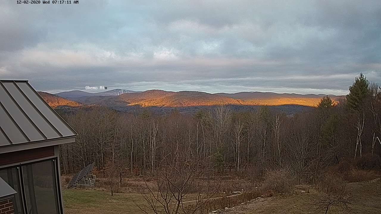
Updated Tuesday Night Forecast — December 1st, 2020

TONIGHT: Partly to mostly cloudy. Scattered light evening rain showers mixed with wet snow overnight with a dusting in spots Northeast Kingdom. A low around 32. South winds 10 mph.

TOMORROW: Mainly cloudy & blustery in the afternoon. Scattered afternoon snow showers with light accumulation in the hills. A high around 35. Southwest winds 10 to 20 mph.

WEDNESDAY NIGHT: A few light flurries in the evening exiting, then clearing partially moonlit. A low 20 to 25. West to southwest winds 10 mph.

THURSDAY: Clouds mixed with sunny intervals. A high around 40. Light south to southwest winds.

Looking further ahead…

THURSDAY NIGHT: Variable high clouds. A low near 32

FRIDAY: Mainly cloudy. Chance for rain showers mixed wet snow later in the afternoon. A high in the mid-40s.

SATURDAY: Mainly cloudy. Chance for rain mixed with wet snow northern high terrain. A low mid-20s. A high in the mid-30s.

SUNDAY: Morning snow showers or flurries exiting partial afternoon sun. A low 20 to 25. Colder. A high 32 to 35.

MONDAY: Mostly cloudy. Chance for lingering snow showers with light accumulation.

Average low mid-teens to mid-20s, Average highs mid-30s to around 40.

RH/12-1 category forecast][end]
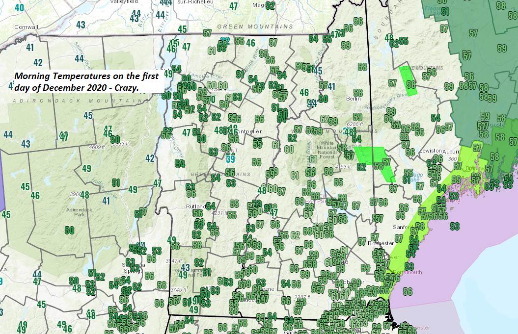
Updated Tuesday Morning Forecast — December 1st, 2020

TODAY: Scattered rain showers especially late morning into early afternoon. Otherwise clouds with intervals of sun. Mild this morning, turning colder this afternoon. A morning high near 55, then temperatures falling thru the 40s. South winds 10 to 20 mph.

TONIGHT: Partly to mostly cloudy. An isolated sprinkle mixed with wet snowflakes. A low around 32. South winds 10 mph.

WEDNESDAY: Mainly cloudy & blustery in the afternoon. Scattered snow showers with light accumulation higher terrain. A high around 35. South to southwest winds 10 to 20 mph.

Looking further ahead…

WEDNESDAY NIGHT: Isolated snow showers or flurries northern areas exiting, otherwise becoming mostly clear. A low 20 to 25.

THURSDAY: Clouds mixed with sunny intervals. A high 35 to 40.

FRIDAY: Mainly cloudy. Chance for a few rain or snow showers far north toward evening. A low near 32. A high 40 to 45.

SATURDAY: Partly to mostly cloudy. Chance for snow showers. A low mid-20s. A high in the mid-30s.

SUNDAY: Filtered sunshine thru high cloudiness. A low 20 to 25. Colder. A high 32 to 35.

Average low mid-teens to mid-20s, Average highs mid-30s to around 40.

RH/12-1 category forecast][end]
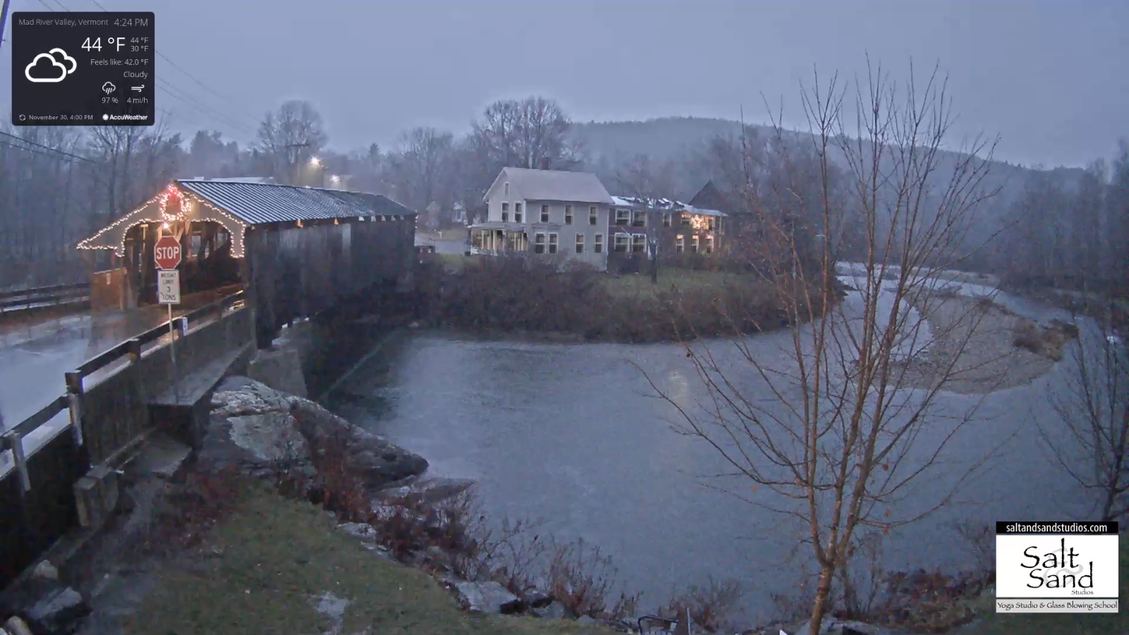
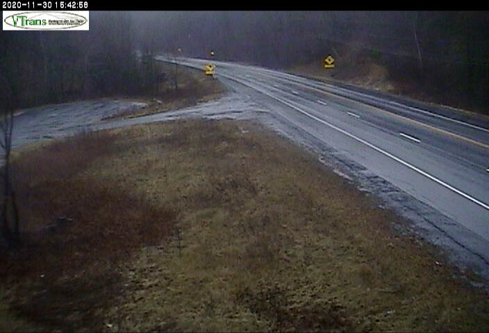
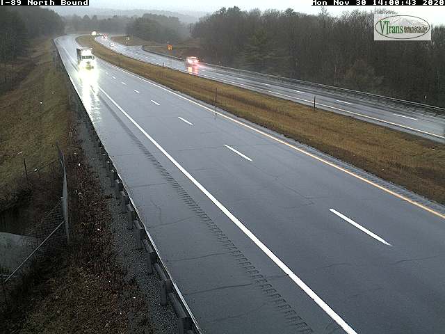
Updated Monday Evening Forecast — November 30th, 2020

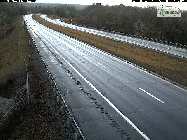
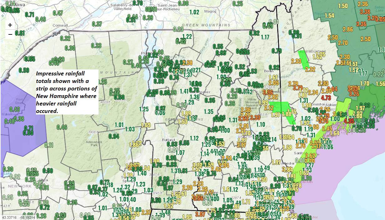
TONIGHT: Periods of rain briefly moderate at times early this evening…tapering to widely scattered light showers overnight. Milder with temperatures 50 to 55. Southeasterly winds 10 to 25 mph with higher gusts in the hills this evening.

TOMORROW: Scattered showers mainly late morning into mid-day. Otherwise mixed clouds and sun. Mild in the morning, turning colder later in the afternoon. A morning high near 55, then temperatures falling thru the 40s. South winds 10 to 20 mph.

TUESDAY NIGHT: Partly to mostly cloudy. An isolated sprinkle mixed with wet snowflakes. A low around 32. South winds 10 mph.

WEDNESDAY: Mainly cloudy & blustery in the afternoon. A rising chance for light accumulating snow showers in the afternoon. A minor coating late with possible slippery travel. A high in the mid-30s. South to southwest winds 10 to 20 mph.

Looking further ahead…

WEDNESDAY NIGHT: Scattered accumulating snow showers early northern areas exiting, otherwise partly cloudy. Snow accumulation under an inch. A low in the mid-20s.

THURSDAY: Partly cloudy. A high 35 to 40.

FRIDAY: Mainly cloudy. Maybe a late day, evening flurry. A low near 32. A high around 40.

SATURDAY: Partly to mostly cloudy. A low 25 to 30. A high in the mid-30s.

Average low mid-teens to mid-20s, Average highs mid-30s to around 40.

RH/11-30 category forecast][end]

Updated Monday Morning Forecast — November 30th, 2020

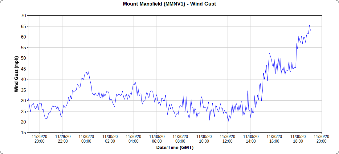
TODAY: Gray. Periods of rain developing later this morning…briefly moderate at times late. Breezy to windy later this afternoon. Gradually turning milder with a high reaching the low 50s toward dark. East to southeasterly winds picking up 10 to 25 mph with higher gusts western slopes of Green Mountains later this afternoon into the early evening.

TONIGHT: Periods of rain briefly moderate at times early this evening…tapering to widely scattered light showers overnight. Continued mild with temperatures in the low to mid 50s. Southeasterly winds 10 to 25 mph with higher gusts in the hills this evening.

TUESDAY: Widely scattered showers. Otherwise mixed clouds and sun. Mild in the morning, turning colder later in the afternoon. A morning high near 55 then temperatures falling thru the 40s. South winds 10 to 20 mph.

Looking further ahead…

TUESDAY NIGHT: Partly to mostly cloudy. An isolated sprinkle mixed with wet snowflakes. A low around 30.

WEDNESDAY: Mainly cloudy. A rising chance for light snow, or snow showers. A minor coating toward evening. A high in the mid to upper 30s.

THURSDAY: Partly cloudy. Chance for snow showers or flurries developing late. A low in the upper 20s. A high 35 to 40.

FRIDAY: Mainly cloudy. Chance for light accumulating snow showers and flurries. A low near 32. A high 35 to 40.

Average low mid-teens to mid-20s, Average highs mid-30s to around 40.

RH/11-30 category forecast][end]
Updated Friday Evening Forecast — November 27th, 2020

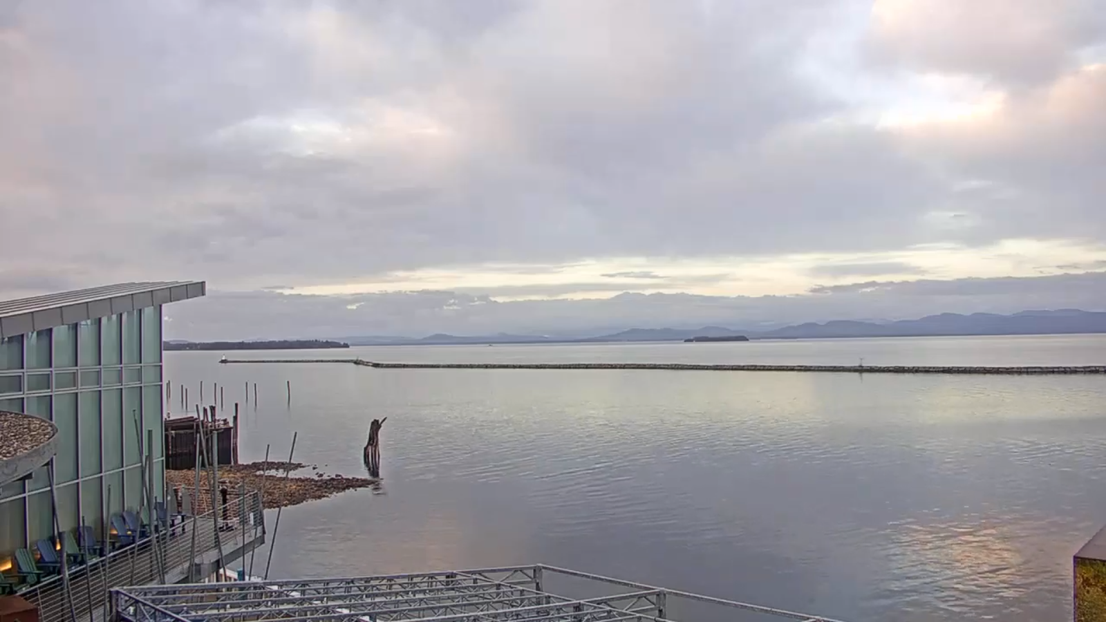
TONIGHT: Lots of clouds. Damp with areas of fog and a little drizzle, or sprinkles northern areas. A low near 32. Watch for black ice. Light south winds.

TOMORROW: Clouds with a few afternoon sunny breaks. Light rain showers mixed with wet snowflakes highest terrain exiting late. A high in the low 40s. Light southwest winds.

SATURDAY NIGHT: Mostly cloudy northern areas clearer skies south. A low around 30. Light southwest winds.

SUNDAY: More sun than clouds. A high 40 to 45. Light southwest winds.

Looking further ahead…

SUNDAY NIGHT: Fair early with thickening high clouds. A low near 32.

MONDAY: Gray. Rain likely late morning on. Breezy to windy with strong southeasterly wind gusts possible developing toward evening. Milder in the afternoon. A high near 50.

TUESDAY: Scattered rain showers. Otherwise clouds mixed with breaks of sun. Milder but breezy. A low in the 40s. A high mid 50s.

WEDNESDAY: Mainly cloudy. Chance for rain showers and light wet snow in the hills. A low around 30. A high around 40.

Average low upper teens to mid-20s, Average highs mid-30s to low 40s.

RH/11-27 category forecast][end]
Updated Friday morning Forecast — November 27th, 2020

TODAY: Considerable mainly high cloudiness. An isolated mountain sprinkle. Milder. A high in the mid-40s. Winds becoming light and westerly.

TONIGHT: Overcast. Isolated rain showers mixed with wet snowflakes high terrain. A low 32 to 35. Light southwest winds.

SATURDAY: Clouds with a few sunny breaks. Scattered passing rain showers mixed with wet snow flakes elevated terrain. A high about 40. Light southwest winds.

Looking further ahead…

SATURDAY NIGHT: Mostly cloudy. Maybe a northern mountain flurries. A low in the low 30s.

SUNDAY: More sun than clouds. A high in the mid-40s.

MONDAY: Thickening clouds. Rain likely late morning on. Breezy to windy with strong southeasterly wind gusts possible developing toward evening. A low near 32. Milder in the afternoon. A high in the low 50s.

TUESDAY: Scattered rain showers. Otherwise clouds mixed with breaks of sun. Milder but breezy. A low 45 to 50. A high near 55.

WEDNESDAY: Mainly cloudy. Chance for showers of rain valleys and wet snow accumulation in the hills. A low around 30. A high around 40.

Average low upper teens to mid-20s, Average highs mid-30s to low 40s.

RH/11-27 category forecast][end]
Updated Thursday Thanksgiving Day Forecast — November 26th, 2020

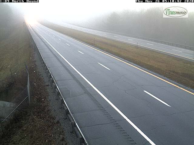
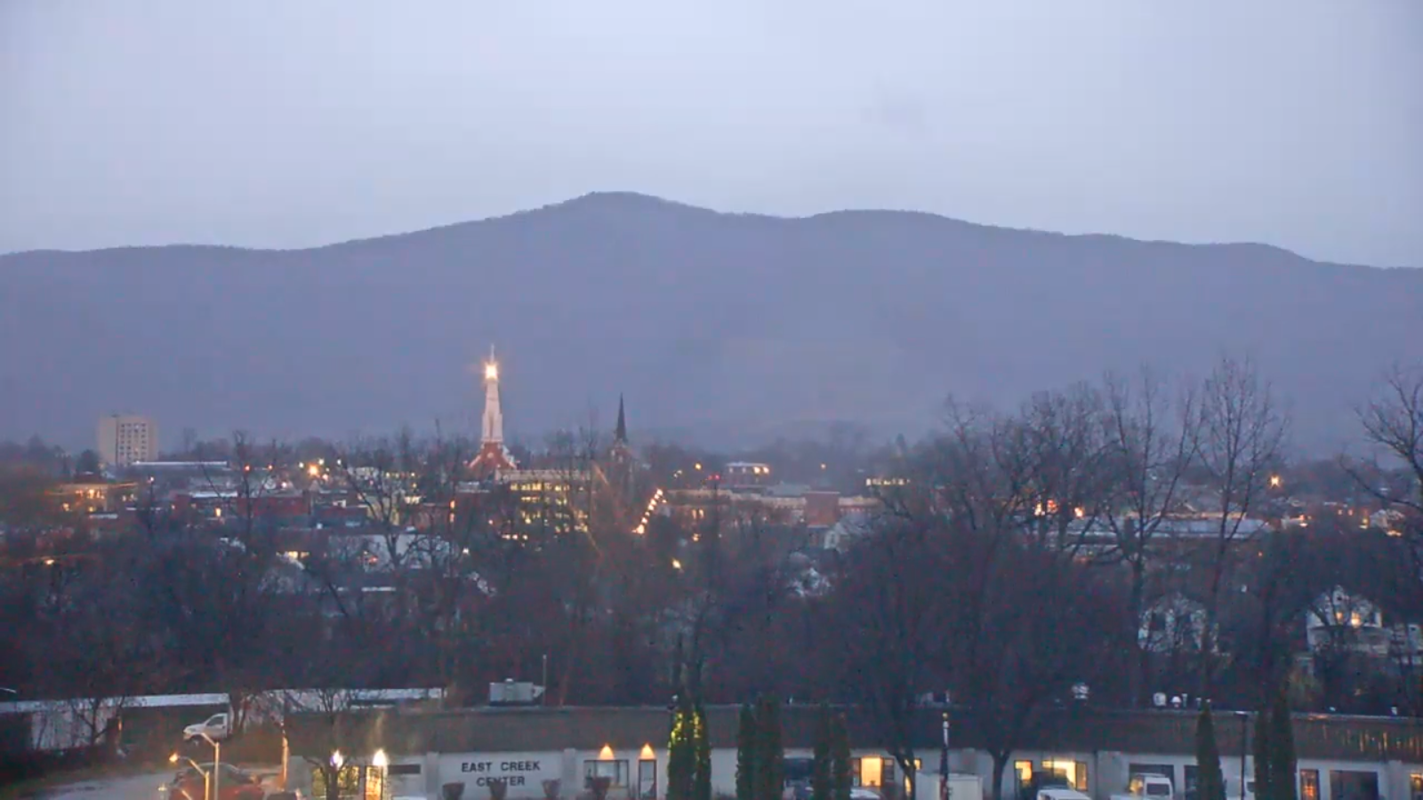
TODAY: Gray with areas of fog. Rain showers central and northern areas become widely scattered…steadier rain south continues. Some afternoon breaks of sun northern areas. A high in the low 40s. Southeast winds 10 mph.

TONIGHT: Mainly cloudy. Areas of fog. Isolated sprinkles. A low 35 to 40. Light south winds.

FRIDAY: Considerable cloudiness. An isolated mountain sprinkle. Milder. A high in the mid-40s. Winds becoming light and northwesterly.

Looking further ahead…

FRIDAY NIGHT: Mostly cloudy. Isolated rain showers mixed with wet snowflakes high terrain northern areas. A low in the mid-30s.

SATURDAY: Clouds mixed with intervals of afternoon sunshine. Scattered passing rain showers mixed with wet snow flakes elevated terrain. A high near 40.

SUNDAY: Partly sunny in the morning, lots of sun in the afternoon. A low in the upper 20s. A high in the mid 40s.

MONDAY: Thickening clouds. A rising chance for rain in the afternoon. Breezy to windy with strong southeasterly wind gusts possible developing toward evening. A low around 30. A high around 45.

TUESDAY: Rain showers exiting early, then variable cloudiness and milder but breezy. A low near 40. A high in the 50s.

Average low 20 to 25, Average highs upper 30s to near 45.

RH/11-26 category forecast][end]