Updated Thursday Morning Weather — December 10th, 2020

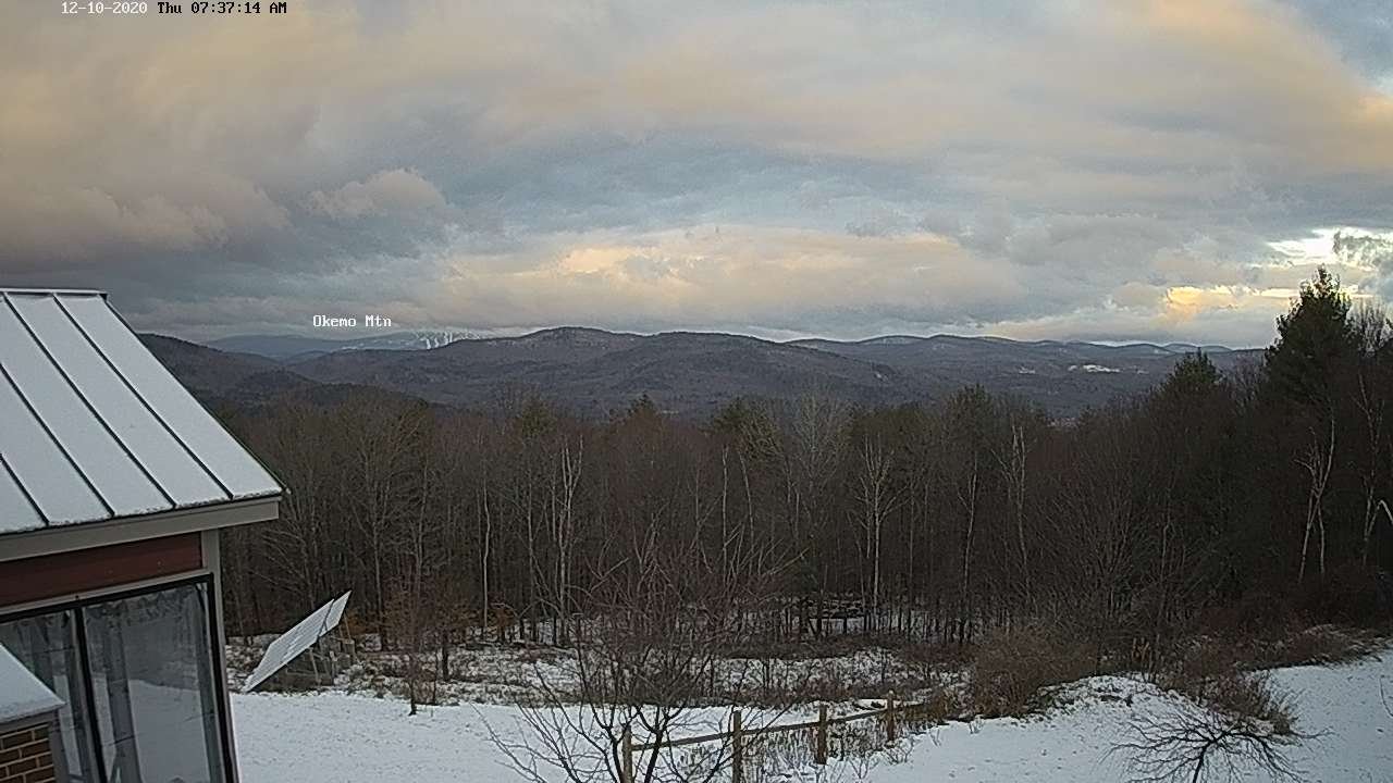
TODAY: Occasional mountain flurries…with minor accumulations western slopes drying up by mid-day. Intervals of late afternoon sunshine developing. A high around 35. Northwest winds 10 to 20 mph blustery in the afternoon.

TONIGHT: Fair early, then increasing high cloudiness. A low in the mid-20s. Light south winds.

FRIDAY: Variable high cloudiness and intervals of sunshine. Milder. A high 40 to 45. South winds 10 mph.
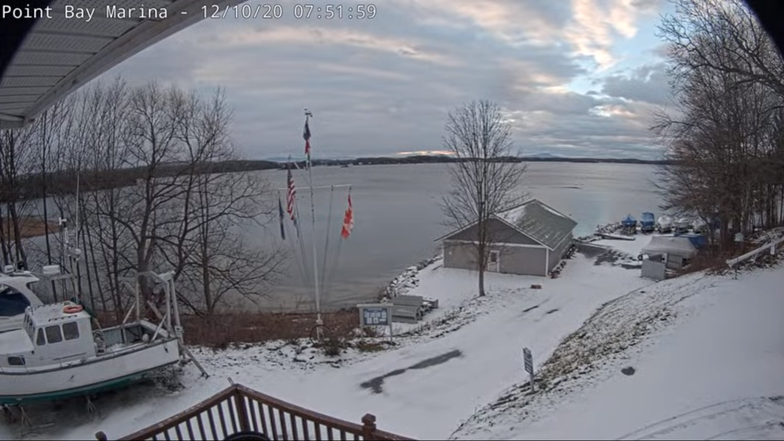
Looking further ahead…

FRIDAY NIGHT: Partly cloudy. A low around 30.

SATURDAY: Overcast & gray. Chance for rain showers far northern areas early and again late with possible pockets of freezing rain Northeast Kingdom in the evening. A high 35 to 40 but colder Northeast Kingdom.
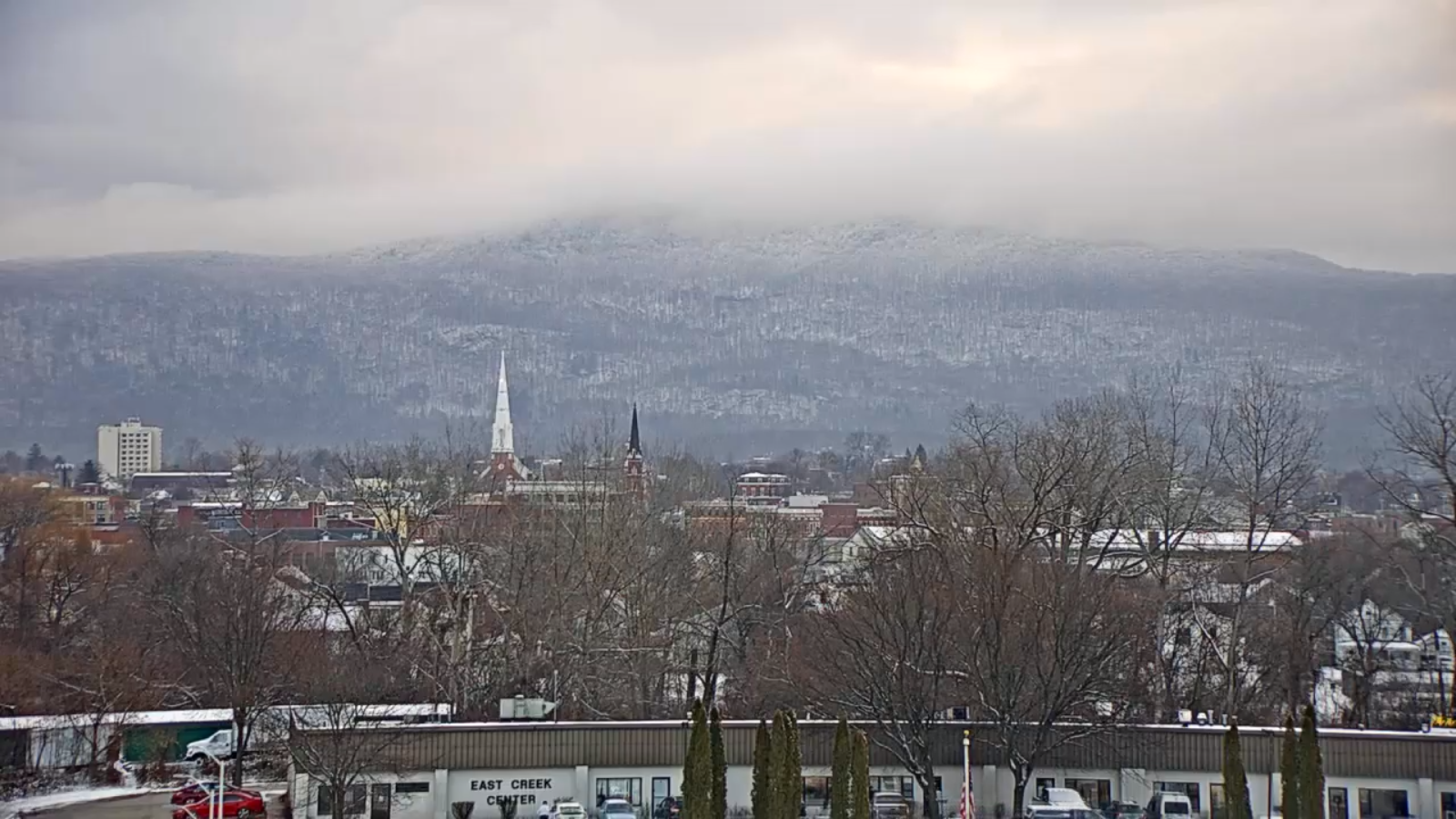
SUNDAY: Mainly cloudy. Chance for rain showers. Breezy to windy at times. A low near 32. A high near 40.

MONDAY: Chance for a few rain showers possible mixed precipitation. Temperatures in the mid and upper 30s.

TUESDAY: Partly sunny. A low in the teens. A high in the mid-20s to near 30.
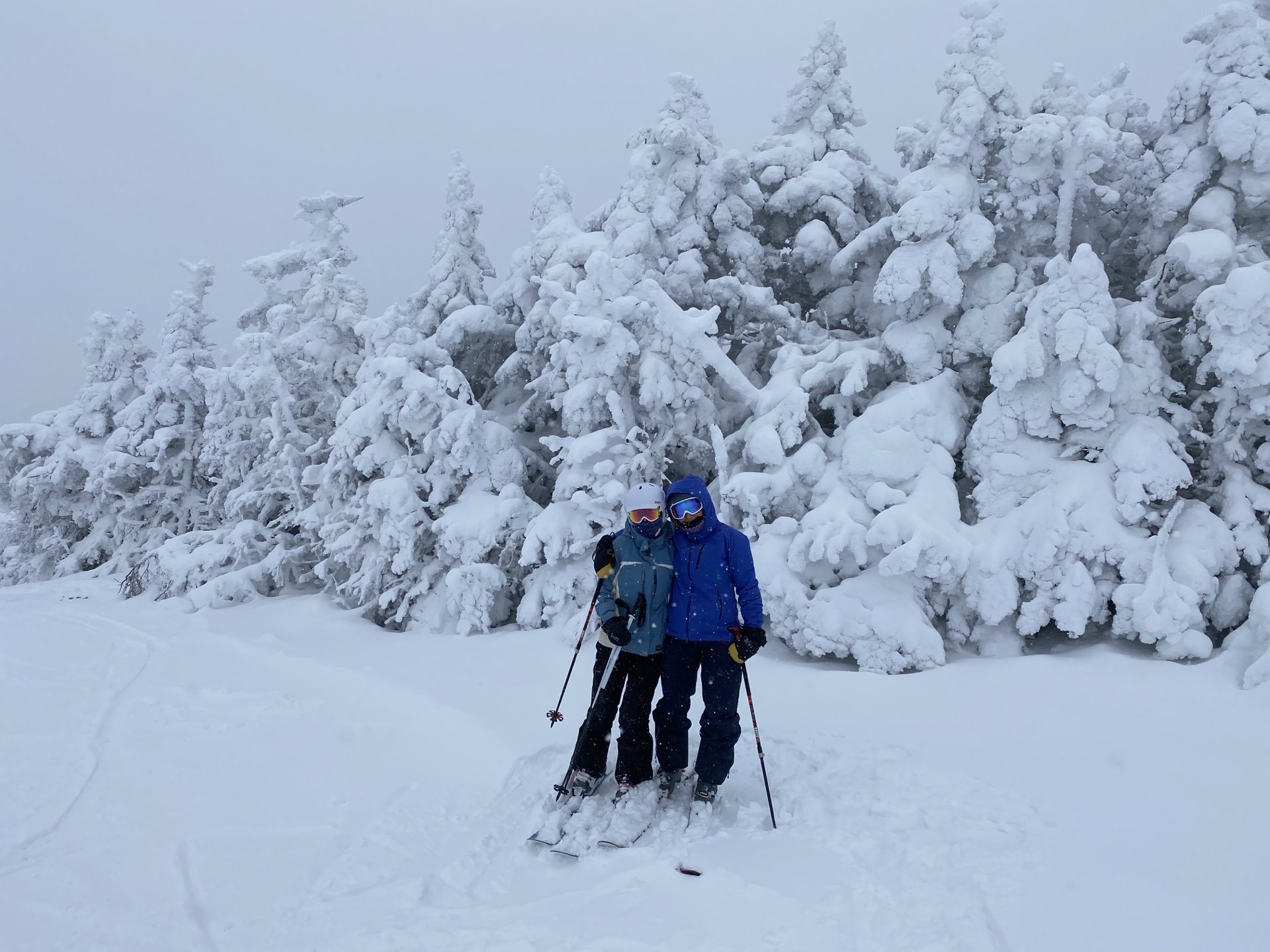
Average low mid-teens to low-20s, Average highs in the 30s.

Meteorological winter begins December 12th. Peak of Winter (coldest averages) January 23rd. End of Winter March 9th… based off local climatology. Note* Conditions more variable due to a warming climate especially in the arctic.
RH/12-9 category forecast][end]
Updated Wednesday Evening Forecast — December 9th, 2020

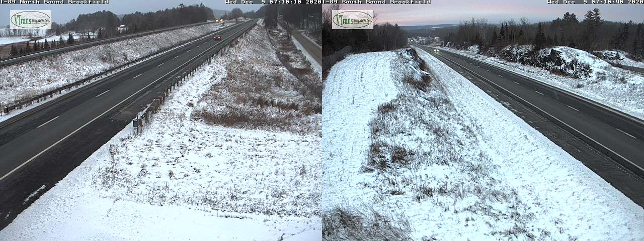
TONIGHT: Cloudy. Scattered snow showers & flurries. An additional dusting to 2 inches toward especially western slopes of the Greens. A low upper 20s. Light southwest winds.

THURSDAY: Widely scattered mountain flurries drying up by mid-day. Clouds give way to intervals of late afternoon sunshine. A high around 35. Northwest winds 10 to 20 mph blustery in the afternoon.

THURSDAY NIGHT: Fair early, then increasing high cloudiness. A low around 25. Light south winds.

FRIDAY: Considerable high cloudiness with hints of sunshine. Milder. A high 40 to 45. South winds 10 mph.

Looking further ahead…

FRIDAY NIGHT: Thickening clouds. A low 30 to 35.

SATURDAY: Overcast & gray. A rising chance for rain showers late afternoon. A high around 40.

SUNDAY: Overcast. Chance for rain showers. Breezy to windy at times. A low around 35. A high in the low 40s.

MONDAY: Chance for light mixed precipitation transitioning to scattered snow showers before exiting with minor accumulation. An early high around 35, temperatures falling into the 20s later on.

Average low mid-teens to low-20s, Average highs in the 30s.

Meteorological winter begins December 12th. Peak of Winter (coldest averages) January 23rd. End of Winter March 9th… based off local climatology. Note* Conditions more variable due to a warming climate especially in the arctic.

RH/12-9 category forecast][end]
Updated Wednesday Morning forecast — December 9th, 2020

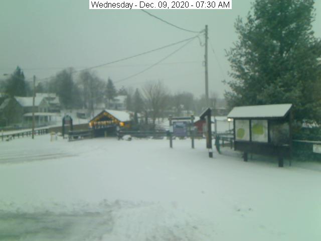
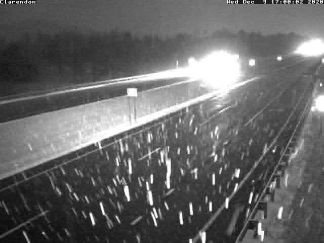
TODAY: Gray. Light snow showers developing this morning western Vermont overspreading the region. Accumulation of dusting to 2” with the most across elevated terrain. A high 32 to 35. Light south winds except 10 to 20 mph Champlain Valley.

TONIGHT: Cloudy. Scattered light snow showers or flurries with some additional accumulation. A low upper 20s to around 30. Light southwest winds.

THURSDAY: Widely scattered mountain flurries drying up by mid-day. Clouds give way to intervals of late afternoon sunshine. A high around 35. Northwest winds 10 to 20 mph.

Looking further ahead…

THURSDAY NIGHT: Fair early, then increasing high cloudiness. A low around 25.

FRIDAY: Considerable high cloudiness with hints of sunshine. Milder. A high 40 to 45.

SATURDAY: Overcast & gray. A rising chance for spotty light snow developing late. A low near 32. A high 35 to 40.

SUNDAY: Overcast. Chance for accumulating snow with a couple inches…mixing with possible sleet and freezing rain. Breezy to windy at times. A low in the 32 to 35. A high upper 30s to around 40.

MONDAY: Chance for light mixed precipitation transitioning to scattered snow showers before exiting with minor accumulation. An early high around 35, temperatures falling into the 20s later on.

Average low mid-teens to low-20s, Average highs in the 30s.

Meteorological winter begins December 12th. Peak of Winter (coldest averages) January 23rd. End of Winter March 9th… based off local climatology. Note* Conditions more variable due to a warming climate especially in the arctic.

RH/12-9 category forecast][end]
Updated Tuesday Evening Forecast — December 8th, 2020

TONIGHT: Lots of clouds. Isolated flurries. A low upper teens to lower 20s. Light southwest winds

TOMORROW: Gray. Light snow showers developing after morning commute. Accumulation of an inch or two primarily elevated terrain. A high 32 to 35. Light south winds except 10 to 20 mph Champlain Valley.

WEDNESDAY NIGHT: Cloudy. Widely scattered light snow showers or flurries with a minor coating. A low upper 20s to around 30. Light southwest winds.

THURSDAY: Widely scattered mountain flurries drying up by mid-day. Clouds give way to intervals of afternoon sunshine. A high near 35. Northwest winds 10 to 20 mph.

Looking further ahead…

THURSDAY NIGHT: Fair early, then increasing high cloudiness. A low 20 to 25.

FRIDAY: Considerable high cloudiness with hints of sunshine. Milder. A high around 40.

SATURDAY: Overcast & gray. A rising chance for spotty light snow developing late. A low near 30. A high pushing to near 45.

SUNDAY: Overcast. Chance for accumulating snow with a couple inches…mixing with possible sleet and freezing rain. Breezy to windy at times. Temperatures holding in the low to mid 30s

Average low mid-teens to low-20s, Average highs in the 30s.

Meteorological winter begins December 12th. Peak of Winter (coldest averages) January 23rd. End of Winter March 9th… based off local climatology. Note* Conditions more variable due to a warming climate especially in the arctic.

RH/12-8 category forecast][end]
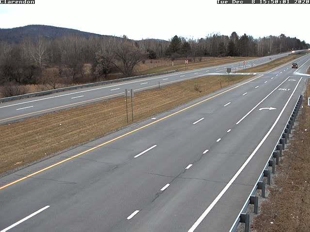
Updated Tuesday Morning Forecast — December 8th, 2020

TODAY: Gray skies. Occasional mainly mountain flurries, gradual accumulation up to an inch. Possible breaks of sun away from the mountains late this afternoon. A high in the mid-20s to near 30. Northwest winds 10 mph.

TONIGHT: Lots of clouds. Isolated flurries. A low in the mid-teens. Light winds.

WEDNESDAY: Gray. Chance for light snow showers developing after daybreak. Accumulation of an inch or two primarily elevated terrain. A high 32 to 35. Light south winds.

Looking further ahead…

WEDNESDAY NIGHT: Cloudy. Scattered light snow showers with minor coatings. A low upper 20s to around 30.

THURSDAY: Scattered morning flurries with minor accumulation drying up. Clouds give way to intervals of afternoon sunshine. A high near 35.

FRIDAY: Considerable high cloudiness with hints of sunshine. A low 20 to 25. Milder. A high around 40.

SATURDAY: Overcast & gray. A rising chance for light accumulating wet snow or snow showers. A risk for possible mixed precipitation with icy travel. A low near 30. A high pushing to near 45.

SUNDAY: Overcast. Chance for a few rain showers. Breezy to windy at times. A low in the mid-30s. A high around 45.

Average low mid-teens to low-20s, Average highs in the 30s.

Meteorological winter begins December 12th. Peak of Winter (coldest averages) January 23rd. End of Winter March 9th… based off local climatology. Note* Conditions more variable due to a warming climate especially in the arctic.

RH/12-8 category forecast][end]
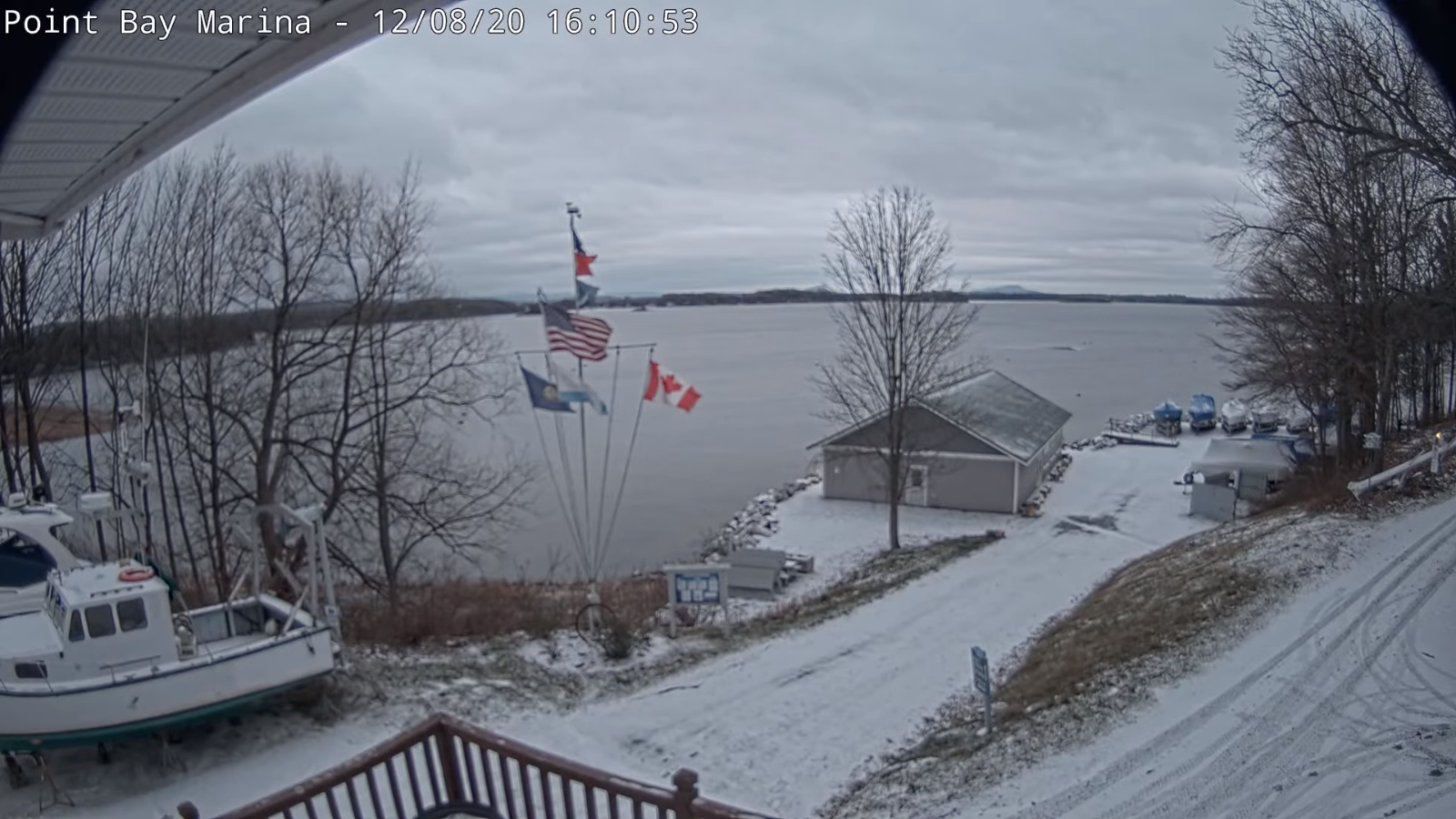
Updated Monday Evening Forecast — December 7th, 2020

TONIGHT: Lots of clouds. Chance for a lingering mountain flurry. A dusting in spots. A low in the upper teens to low 20s. Light northwest winds.

TOMORROW: Considerable cloudiness. Chance for mainly mountain flurries, minor accumulation. A few breaks of sun developing in the afternoon. A high in the mid-20s. Northwest winds 10 mph.

TUESDAY NIGHT: Mostly cloudy. Maybe an evening flurry. A low in the mid-teens. Light winds.

WEDNESDAY: Gray. Chance for snow showers or flurries developing in the morning. Some light accumulation across mainly northern areas. A high mid-30s. Light south winds.

Looking further ahead…

WEDNESDAY NIGHT: Cloudy. Maybe a flurry. A low around 32 degrees.

THURSDAY: An isolated mountain flurry. Possible intervals of afternoon sunshine. A high in the mid-30s.

FRIDAY: High cloudiness filtering the sunshine. Milder. A low around 20. A high around 40.

SATURDAY: Intervals of sunshine early, then cloudy. A low around 30. A high in the low to mid 40s.

SUNDAY: Overcast. Chance for a few rain showers. A low in the mid-30s. A high around 45.

Average low mid-teens to low-20s, Average highs in the 30s.

Meteorological winter begins December 12th. Peak of Winter (coldest averages) January 23rd. End of Winter March 9th… based off local climatology. Note* Conditions more variable due to a warming climate especially in the arctic.

RH/12-7 category forecast][end]
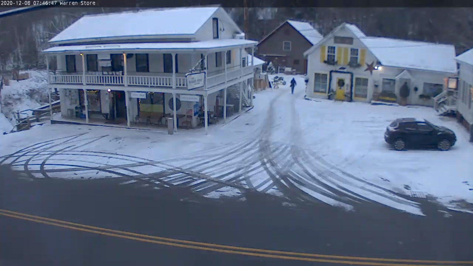
Updated Monday Morning Forecast — December 7th Perl Harbor Day, 2020

TODAY: Considerable cloudiness. Scattered mainly mountain flurries lingering into the afternoon some northern areas with little to no accumulation. Intervals of sun southern areas. A high around 25. Northwest winds 10 mph.

TONIGHT: Becoming partly to mostly cloudy. A low in the upper teens to low 20s. Light northwest winds.

TUESDAY: Clouds mixed with periods of sunshine. A high in the mid-20s. Northwest winds 10 mph.

Looking further ahead…

TUESDAY NIGHT: Overcast. A low in the mid-teens.

WEDNESDAY: Cloudy. Chance for snow showers or flurries. Some light accumulation across mainly northern areas. A high mid-30s.

THURSDAY: Lots of clouds. A low around 32 degrees. A high in the mid-30s.

FRIDAY: High cloudiness filtering the sunshine. Milder. A low around 20. A high around 40.

Average low mid-teens to low-20s, Average highs in the 30s.

Meteorological winter begins December 12th. Peak of Winter (coldest averages) January 23rd. End of Winter March 9th… based off local climatology. Note* Conditions more variable due to a warming climate especially in the arctic.

RH/12-7 category forecast][end]
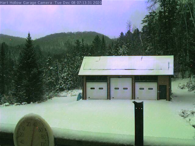
Updated Friday Evening Forecast — December 4th, 2020

TONIGHT: Cloudy. Chance for a few wet snow showers with a dusting elevated terrain this evening. A low around 32. Light southwest winds.

Winter Storm Warning Orleans Caledonia and Essex Counties 10 AM Saturday thru Sunday morning. Winter Weather Advisory elsewhere east of Green Mountains…

TOMORROW: Overcast. Light snow or snow showers developing east of the Green Mountains in the afternoon. A dusting to 2” with the most far eastern areas. Becoming blustery. A high in the mid-30s. North winds 10 mph…picking up 10 to 25 mph late.

SATURDAY NIGHT: Mainly cloudy & blustery. Periods of snow toward Barton, Island Pond and points east with accumulation 2 to locally 4” otherwise scattered flurries. A dusting to an inch east of the Greens. A low 20 to 25. Northwest winds 10 to 20 mph.

SUNDAY: Lots of clouds. Blustery & colder. A few lingering flurries far Northeast Kingdom. A high 25 to 30. Northwest winds 10 to 20 mph.

Looking further ahead…

SUNDAY NIGHT: Partly cloudy. A low near 20.

MONDAY: Clouds with intervals of sun. A high 25 to 30.

TUESDAY: Partly sunny. A low 15 to 20. A high around 25.

WEDNESDAY: Partly sunny then more clouds. Widely scattered flurries. A low in the mid to upper teens. A high in the low to mid 30s.

Average low mid-teens to low-20s, Average highs mid to upper 30s.

Meteorological winter begins December 12th. Peak of Winter (coldest averages) January 23rd. End of Winter March 9th… based off local climatology. Note* Conditions more variable due to a warming climate especially in the arctic.

RH/12-4 category forecast][end]
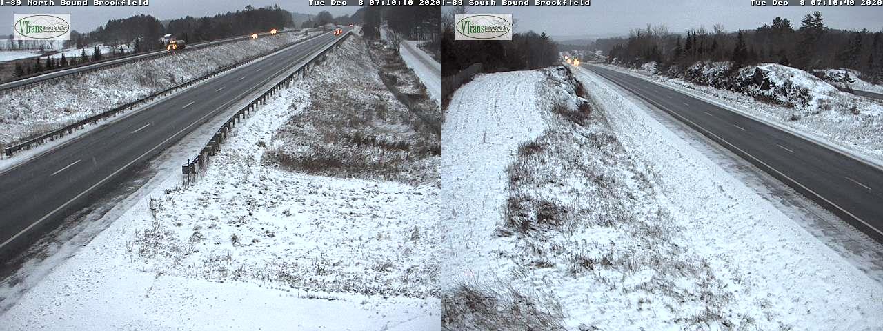
Updated Friday Morning Forecast — December 4th, 2020

TODAY: Considerable cloudiness. Chance for sprinkles…mixed with wet snowflakes in the higher terrain becoming little more numerous later this afternoon. A high 40 to 45. South winds 10 mph.

TONIGHT: Cloudy. Chance for a few wet snow showers with a dusting elevated terrain this evening. A low 30 to 35. Light southwest winds.

Winter Storm Watch Essex County late Saturday thru Sunday morning…

SATURDAY: Overcast. Light snow or snow showers developing east of the Green Mountains in the afternoon. A dusting to 2” with the most far eastern areas. Becoming blustery. A high in the mid to upper 30s. North winds 10 mph…picking up 10 to 25 mph late.

Looking further ahead…

SATURDAY NIGHT: Mainly cloudy & blustery. Periods of snow toward Barton, Island Pond and points east with accumulation 2 to locally 4” otherwise scattered flurries. A dusting to an inch east of the Greens. A low 20 to 25.

SUNDAY: Clouds mixed with Intervals of sun. Blustery & colder. A few lingering flurries far Northeast Kingdom. A high near 30.

MONDAY: Clouds with intervals of sun. A low near 20. A high upper 20s to near 30.

TUESDAY: Partly sunny. A low around 20. A high 25 to 30.

WEDNESDAY: Partly to mostly sunny in the morning. Clouding up northern areas. Chance for a snow shower or flurry. A low in the mid to upper teens. A high near 35.

Average low mid-teens to low-20s, Average highs mid to upper 30s.

Meteorological winter begins December 12th. Peak of Winter (coldest averages) January 23rd. End of Winter March 9th… based off local climatology. Note* Conditions more variable due to a warming climate especially in the arctic.

RH/12-4 category forecast][end]
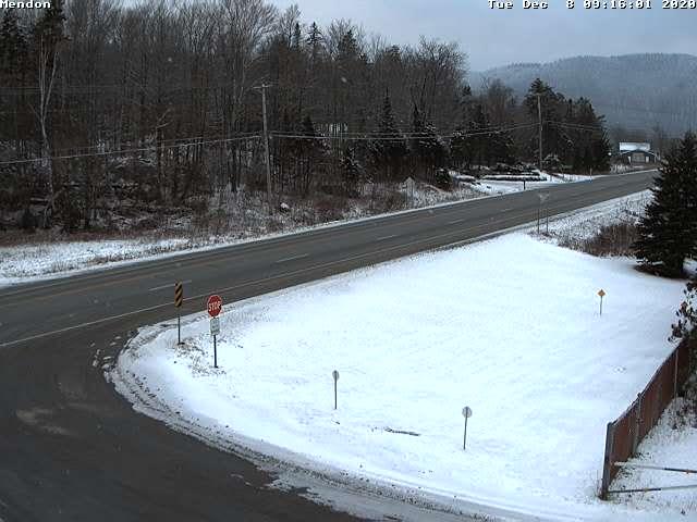
Updated Thursday Evening Forecast — December 3rd, 2020

TONIGHT: Variable mainly high clouds. A low around 30. Light south winds.

TOMORROW: Intervals of sun then clouding up late. Maybe a flurry far northern areas late. A high 40 to 45. South winds 10 mph.

FRIDAY NIGHT: Considerable cloudiness. Chance for a few wet snow showers with minor accumulation elevated terrain. A low in the low 30s. Light southwest winds.

SATURDAY: Overcast. Wet snow accumulation likely arriving south to north by late morning. About 2 to locally 5” with the most Northeast Kingdom. Becoming blustery to windy with some blowing and drifting. A high near 35. North winds 10 mph picking up 10 to 25 mph late.

Looking further ahead…

SATURDAY NIGHT: Mainly cloudy. Scattered leftover snow showers or flurries. Some additional accumulation possible. A low 20 to 25.

SUNDAY: Intervals of sun. Blustery & colder. Lingering snow showers especially Northeast Kingdom some minor accumulation. Temperatures holding in the mid-20s.

MONDAY: Clouds with intervals of sun. Maybe a mountain flurry. A low near 20. A high around 25.

TUESDAY: Partly sunny. A low around 20. A high 25 to 30.

Average low mid-teens to mid-20s, Average highs mid-30s to around 40.

Meteorological winter begins December 12th. Peak of Winter (coldest averages) January 23rd. End of Winter March 9th… based off local climatology. Note* Conditions more variable due to a warming climate especially in the arctic.

RH/12-3 category forecast][end]