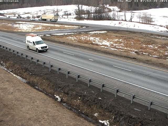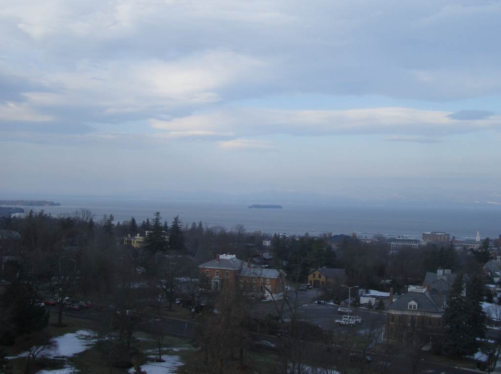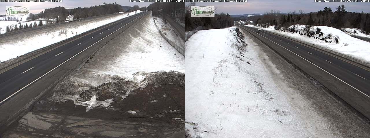
Updated Thursday Evening Forecast — March 11th, 2021

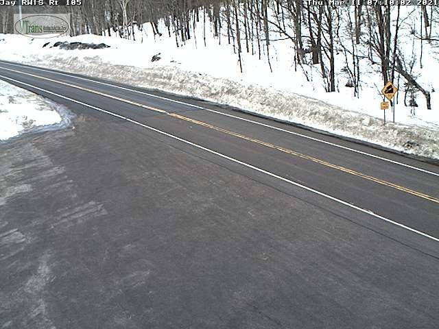
TONIGHT: Rain showers becoming likely northern areas this evening, more isolated elsewhere with clearing developing before daybreak. A low mid-30s to low 40s. Southwest winds 10 to 20 mph, shifting to westerly overnight.

TOMORROW: Mostly sunny, some cloudiness late northern areas. Above seasonal levels. A high 40 to 45 far north, otherwise 45 to 50 elsewhere. West breeze 10 mph.
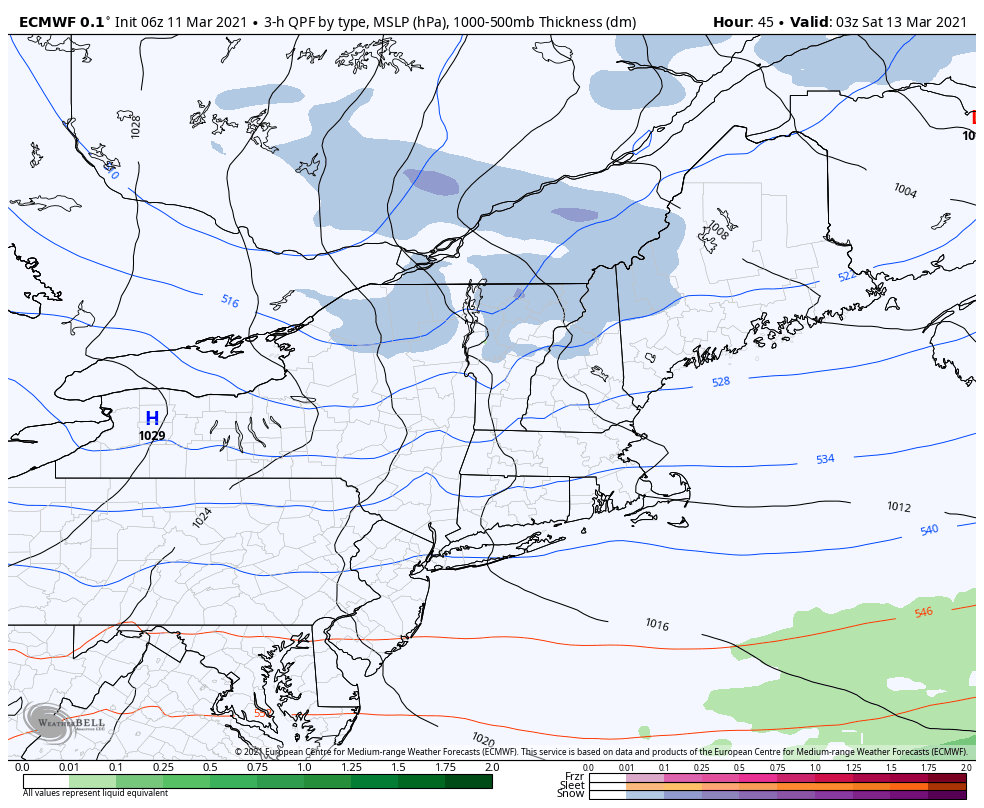
FRIDAY NIGHT: Mostly cloudy, Blustery to windy & turning sharply colder. Accumulating light snow showers…a risk of a snow squall. A dusting to 2”…most near Quebec border. A low mid-teens to around 20. West to northwest winds 10 to 20 mph with locally higher gusts.

SATURDAY: Clouds, then partly to mostly sunny. Blustery to windy & colder. A high mid 20s northern areas, to near 32 elsewhere. Gusty northwest winds 10 to 20 mph.

Looking further ahead…
SATURDAY NIGHT: Cloudy. Occasional light snow showers or flurries developing with a minor coating northern areas. A low mid-teens to low 20s.

SUNDAY: Variably cloudy. Chance for snow showers. Additional accumulation up to an inch. A high in the mid-20s to near 30. Gusty northwest winds.
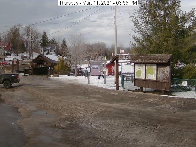
MONDAY: Morning clouds then mostly sunny. A low zero to 10 above. A high 15 to 20.

TUESDAY: High cloudiness thickening up in the afternoon. Rising chance for snow showers late. A low zero to 10 above. A high

32 to 35.

Average low mid-teens to low 20s Average highs ranging mid-30s to near 40.

Start of Meteorological Summer June 6th… Summer peaks approx.. July 22nd based off local climatology.
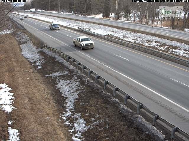
RH/3-11category forecast][end]
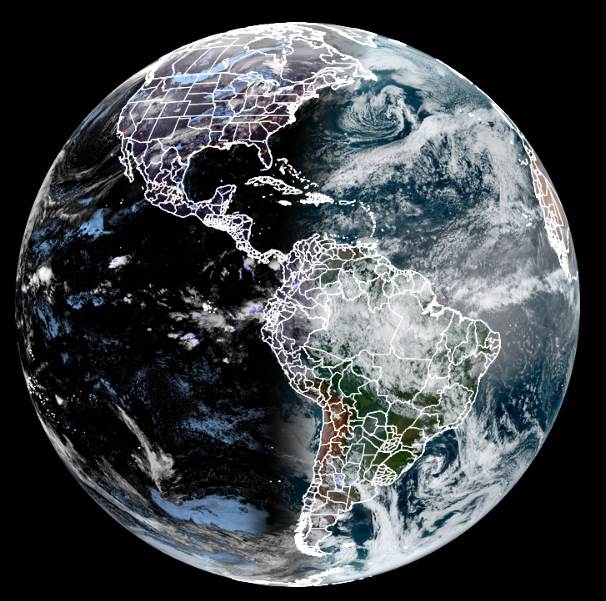
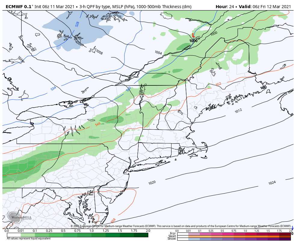
Updated Thursday morning Forecast — March 11th, 2021

TODAY: A sprinkle or two toward the northern Green Mountains early. Otherwise, clouds mixing with periods of sun. Mild with … snow melt, sap runs & muddy back gravel roads. A near record high temperature high 55 to 60. South to southwest winds 10 mph but stronger & gusty near Lake Champlain.

TONIGHT: Mainly cloudy & later partly cloudy & blustery. Rain showers becoming likely northern areas this evening, more isolated elsewhere with clearing developing late. A low mid-30s to low 40s. Southwest winds, shifting to westerly 10 to 20 mph.

FRIDAY: Mostly sunny. Still above normal in temperature. A high ranging from low 40s northern areas, mid to upper 40s central and southern areas. West breeze 10 mph.

Looking further ahead…

FRIDAY NIGHT: Mostly cloudy, Blustery to windy & sharply colder. Chance for accumulating snow showers…a risk of a squall. A dusting to 2”…most near Quebec border. A low mid-teens to around 20. Gusty west to northwest winds.

SATURDAY: Clouds give way to increasing amounts of sunshine. Blustery to windy. A high mid 20s northern areas to near 30 elsewhere. Gusty northwest winds.

SUNDAY: More clouds than sun. Chance for snow showers. Additional accumulation of around an inch. A low 15 to 20. A high around 30.

MONDAY: Otherwise intervals of sun mixed with lots of clouds. A low 5 to 15 above. A high In the upper teens to around 20.

Average low mid-teens to low 20s Average highs ranging mid-30s to near 40.

Start of Meteorological Summer June 6th… Summer peaks approx.. July 22nd based off local climatology.

RH/3-11category forecast][end]
Updated Wednesday Evening Forecast — March 10th, 2021

TONIGHT: Cloudy periods & not so cold. A low 30 to 35. South breeze 10 mph, gusty near Lake Champlain.

TOMORROW: Clouds mixed with periods of sun. A sprinkle or two toward the Champlain Valley. Mild with near record high temperatures…lots of snow melt, sap runs and muddy back roads. A high in the mid-50s. South to southwest winds 10 mph but stronger & gusty near Lake Champlain.

THURSDAY NIGHT: Partly to mostly cloudy & later blustery. Good chance for rain showers northern areas more isolated elsewhere with clearing developing late. A low about 35. Southwest winds, shifting to westerly 10 to 20 mph.

FRIDAY: Mostly sunny. Still above normal in temperature. A high in the low to mid-40s. West breeze 10 mph.

Looking further ahead…

FRIDAY NIGHT: Mostly cloudy, Blustery to windy & sharply colder. Chance for accumulating snow showers…a risk of a squall. A dusting to 2”…most near Quebec border. A low upper teens to mid-20s. Gusty west to northwest winds.

SATURDAY: Clouds give way to increasing amounts of sunshine. Blustery to windy. A high of around 30. Gusty northwest winds.

SUNDAY: More clouds than sun. Chance for snow showers. Additional accumulation of around an inch. A low 15 to 20. A high around 30.

MONDAY: Scattered mountain flurries. Otherwise intervals of sun mixed with lots of clouds. A low zero to 10 above. A high

15 to 20.

Average low mid-teens to low 20s Average highs ranging mid-30s to near 40.

Start of Meteorological Summer June 6th… Summer peaks approx.. July 22nd based off local climatology.

RH/3-10category forecast][end]
Updated Wednesday Morning Forecast — March 10th, 2021

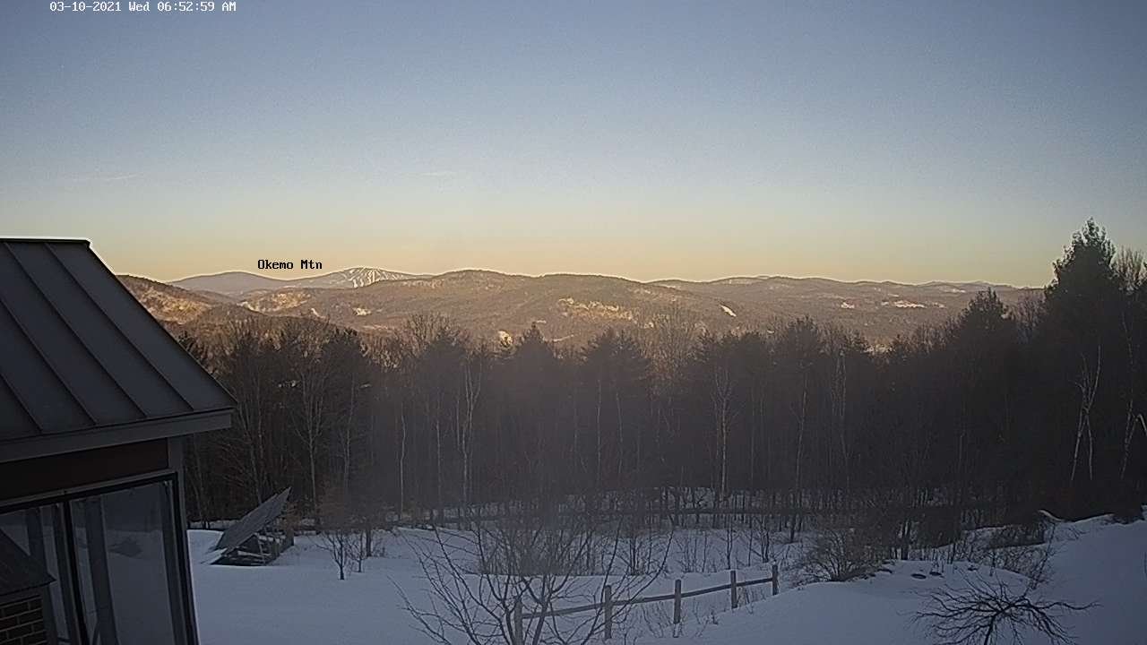
TODAY: Sunshine becoming filtered thru high clouds with more clouds late. Well above normal in temperature, lots of snow melt. A high upper 40s to around 50. Sap runs for maple sugaring operations. Light south breeze except stronger near Lake Champlain.

TONIGHT: Cloudy periods & not so cold. A low ranging thru the 30s. South breeze 10 mph, gusty near Lake Champlain.

THURSDAY: Lots of clouds. Scattered sprinkles developing toward the Champlain Valley and northern Green Mountains.

Mild with near record high temperatures…lots of snow melt, sap runs and muddy back roads. A high in the mid-50s. South to southwest winds 10 to 15 mph.

Looking further ahead…

THURSDAY NIGHT: Considerable cloudiness. Scattered rain showers…especially northern areas. A few patches of fog. A low around 40.

FRIDAY: Partly to mostly sunny. A high 45 to 50.

SATURDAY: Chance for accumulating snow shower with a risk of a squall early morning hours. An inch or two possible. Clouds give way to increasing amounts of sunshine. Blustery to windy. A low upper 20s to near 30. An early high in the mid-30s.

SUNDAY: More clouds than sun. Chance for snow showers with additional minor accumulation of around an inch. A low in the mid-teens. A high near 30.

MONDAY: Morning clouds with an isolated mountain flurry. A low zero to 10 above. A high upper teens to near 20.

Average low mid-teens to low 20s Average highs ranging mid-30s to near 40.

Start of Meteorological Summer June 6th… Summer peaks approx.. July 22nd based off local climatology.

RH/3-9category forecast][end]
Updated Tuesday Morning Forecast — March 9th, 2021

Approximate end of Meteorological Winter

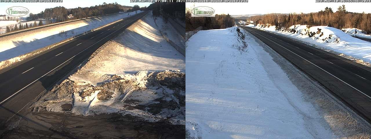
TODAY: Clouds with an isolated flurry northern Green Mountains for a time this morning. Intervals of sun away from the mountains this afternoon, eventually mostly sunny late. Milder. A high 35 to 40. (Possible sap run maple sugaring) Winds become northwesterly 10 mph.

TONIGHT: Clear skies. A low upper teens to around 20. Little wind.

WEDNESDAY: Morning sunshine gives to considerable cloudiness in the afternoon. Well above normal in temperature, lots of snow melt. A high near 50. Sap runs maple sugaring. Light south winds.

Looking further ahead…

WEDNESDAY NIGHT: Mostly cloudy. A low in the mid to upper 30s.

THURSDAY: Mostly cloudy. Scattered sprinkles or light rain showers northern areas. Mild with lots of snow melt, sap runs. A high around 55.

FRIDAY: Morning cloudiness, then lots of afternoon sunshine. A low mid-30s to near 40. A high about 50.

SATURDAY: Chance for morning snow showers or flurries. A dusting to 2” possible. A low in the 20s. Temperatures peak in the mid to upper 30s.

Average low mid-teens to low 20s Average highs ranging mid-30s to near 40.

End of Meteorological Winter March 9th… based off local climatology.

RH/3-9category forecast][end]
Updated Monday Evening Forecast — March 8th, 2021

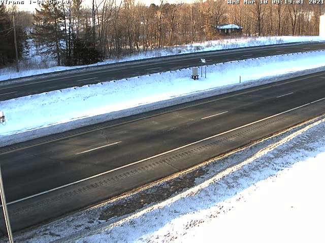
TONIGHT: Considerable cloudiness. A couple periods of scattered flurries northern areas, a strong dusting in spots. A low around 20. Light south winds.

End of Meteorological Winter

TOMORROW: Clouds, with intervals of sun away from the mountains, eventually mostly sunny late. Milder. A high 35 to 40. (Possible sap run Maple sugaring) Wind becoming northwesterly 10 mph.

TUESDAY NIGHT: Clear skies. A low upper teens to around 20. Little wind.

WEDNESDAY: Morning sunshine gives to considerable cloudiness in the afternoon. Well above normal in temperature, lots of snow melt. A high near 50. (Sap run likely maple sugaring). Light south winds.

Looking further ahead…

WEDNESDAY NIGHT: Mostly cloudy. A low ranging thru the 30s.

THURSDAY: Mostly cloudy. Scattered sprinkles or light rain showers northern areas. Mild with lots of snow melt, sap runs. A high reaching to around 55.

FRIDAY: Morning cloudiness, then lots of afternoon sunshine. A low upper 30s to around 40. A high near 50.

SATURDAY: Chance for morning snow showers or flurries. A dusting to 2” possible. A low 20 to 25. Temperatures in the mid to upper 30s.

Average low mid-teens to low 20s Average highs ranging mid-30s to near 40.

End of Meteorological Winter March 9th… based off local climatology.

RH/3-8category forecast][end]
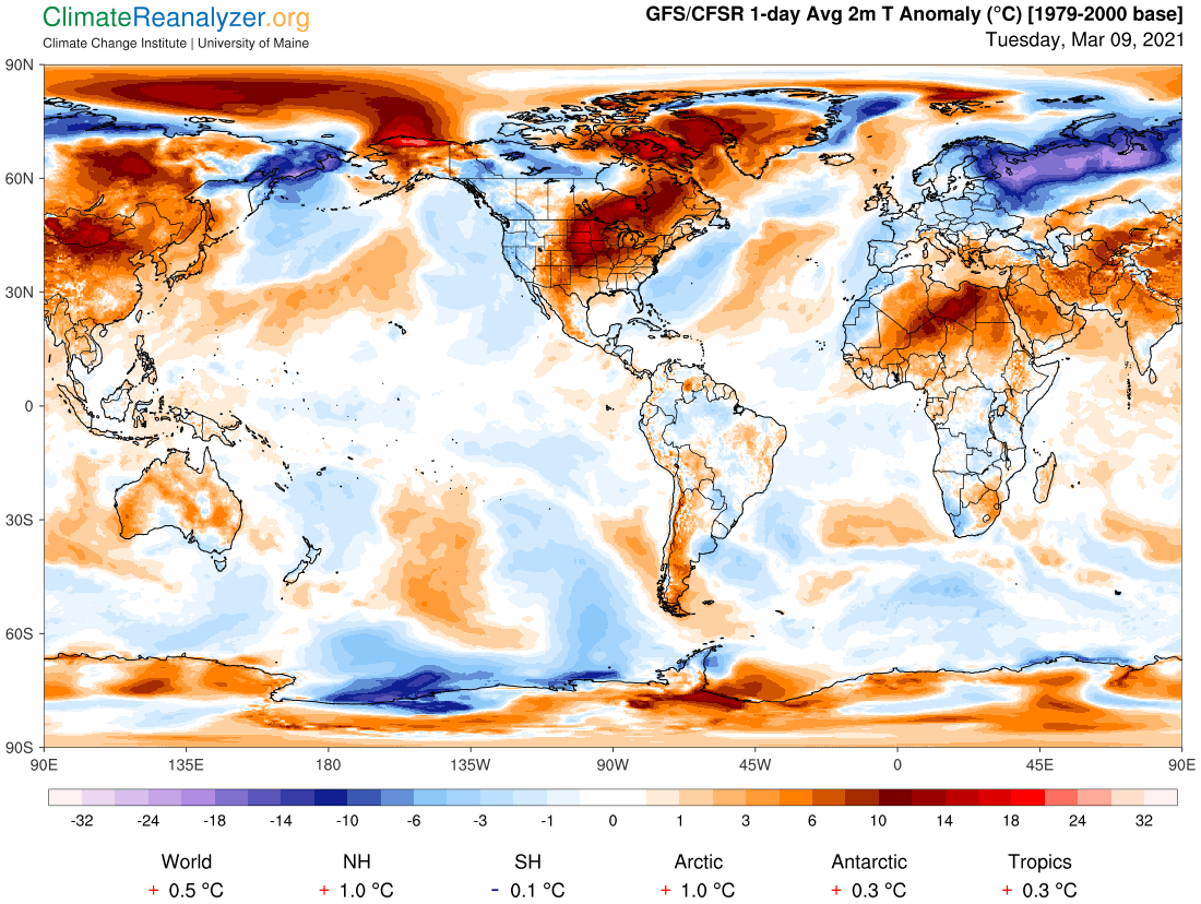
Updated Monday Morning Forecast — March 8th, 2021

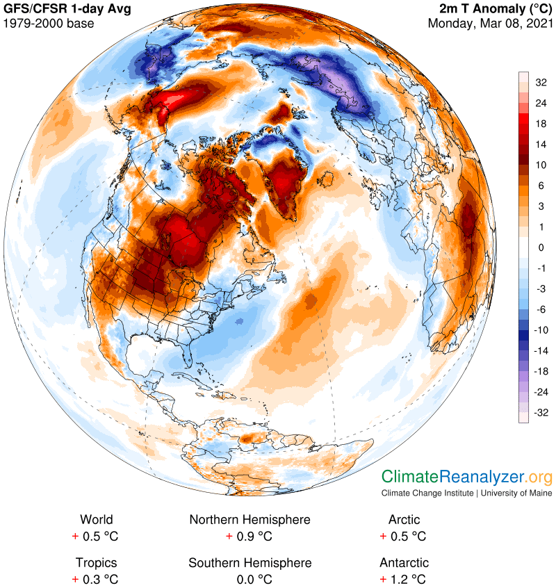
TODAY: Sunshine becoming filtered through high clouds. Start of a strong warming trend. A high near 30. Light west winds.

TONIGHT: Considerable cloudiness. A rising chance for flurries across far northern areas with a dusting to half inch of snow in spots. A low mid-teens to low 20s. Light south winds.

End of Meteorological Winter

TUESDAY: Clouds with intervals of sun away from the mountains eventually clearing out late. Milder. A high 35 to 40. (Possible sap run Maple sugaring) Wind becoming northwesterly 10 mph.

Looking further ahead…

TUESDAY NIGHT: Clear skies. A low mid-teens to low 20s.

WEDNESDAY: Variable high cloudiness and well above normal in temperature. Milder with a lots of snow melt. A high near 50. (Sap run likely maple sugaring).

THURSDAY: Mostly cloudy. Scattered sprinkles or light rain showers Barre-Montpelier north. Mild with lots of snow melt. A low mid-30s. A high around 55.

FRIDAY: Morning cloudiness gives way to increasing sunshine. A low near 32. A high in the upper 40s to around 50.

Average low mid-teens to low 20s Average highs ranging mid-30s to near 40.

End of Meteorological Winter March 9th… based off local climatology.

RH/3-8category forecast][end]
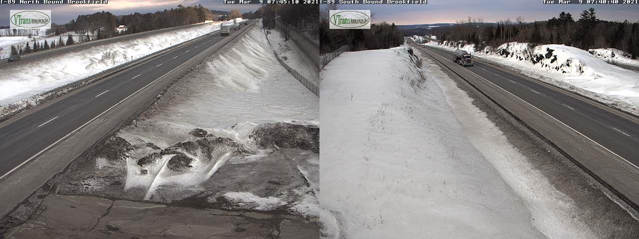
Updated Friday Evening forecast — March 5th, 2021

TONIGHT: A few mountain flurries for a time this evening. Clouds give way to clearing skies north to south. Cold for this time of year. A low 5 below to 5 above. Light northwest winds.

TOMORROW: Partly to mostly sunny, except more clouds near the Quebec border. A high mid to upper teens. Northwest winds 10 mph.

SATURDAY NIGHT: Evening clouds with a stray flurry, then mostly clear. Frigid. A low 5 below to 5 above. Light northwest winds.

SUNDAY: More sun than clouds in the afternoon. A high 15 to 20. Northwest winds 10 mph.

Looking further ahead…

SUNDAY NIGHT: Clear & cold. A low 5 below to 5 above.

MONDAY: Sunshine mixing with more clouds in the afternoon. Start of a strong warming trend. A high near 30.

TUESDAY: A few overnight flurries northern areas. Increasing sunshine. Milder with lots of snowmelt. A low in the upper teens.

A high around 40. (Possible sap run Maple sugaring)

WEDNESDAY: Variable high cloudiness and well above normal in temperature. A low near 25. A high 50 to 55. (Sap run likely maple sugaring).

Average low ranging upper single digits to mid-teens, Average highs ranging low to mid 30s

End of Meteorological Winter March 9th… based off local climatology.

RH/3-5category forecast][end]
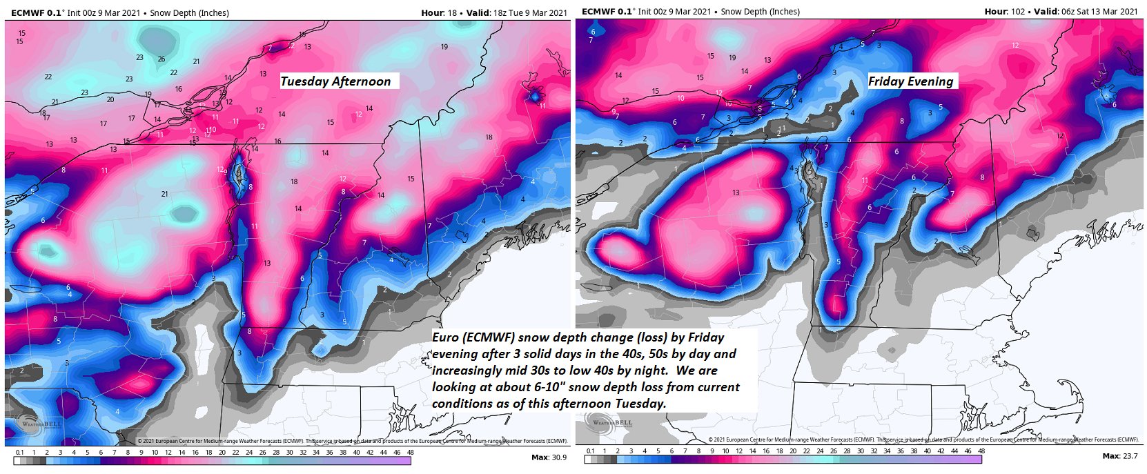
Updated Friday morning Forecast — March 5th, 2021

Winter Weather Advisory Northern Green Mountains into the early evening…

TODAY: Considerable cloudiness with breaks of sun. Persistent flurries or light snow showers across the northern Greens. Accumulation 1 to 2” with only a dusting elsewhere. Rather cold. A high just 10 to 15 above. Northwest winds 10 to 20 mph.

TONIGHT: A leftover snow shower or flurry early…exiting this evening. Partial clearing developing north to south. A low 5 below to 5 above. Light northwest winds.

SATURDAY: Partly to mostly sunny except more clouds near northern areas with a stray flurry or two. A high mid to upper teens. Northwest winds 10 mph.

Looking further ahead…

SATURDAY NIGHT: Partly cloudy. Frigid. A low 5 below to 5 above.

SUNDAY: Partly cloudy for a time in the morning, then bright sun and blue skies. A high pushing to 15 to 20.

MONDAY: Sunshine mixed with clouds. A low 5 below to 5 above. A high near 30.

TUESDAY: A few early morning flurries near the Canadian border. Otherwise becoming mostly sunny and milder. A low in the upper teens.

A high around 40. (Possible sap run Maple sugaring)

WEDNESDAY: Breaks of morning sun, otherwise mostly cloudy. A low near 25. A high 50 to 55. (Sap run likely maple sugaring).

Average low ranging upper single digits to mid-teens, Average highs ranging low to mid 30s

End of Meteorological Winter March 9th… based off local climatology.

RH/3-5category forecast][end]
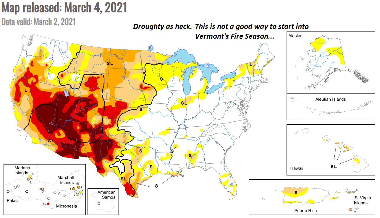
Updated Thursday Evening Forecast — March 4th, 2021

Winter Weather Advisory Green Mountains Washington County north including Franklin County this evening thru 7 PM Friday…

TONIGHT: Clouding up. Light accumulating snow showers developing northern Champlain valley & adjacent Green Mountains this evening…spreading south as flurries. Fluffy accumulation 1 to locally 3 inches. A low in the single digits. Northwest winds 10 to 15 mph.

TOMORROW: Lots of clouds with break or two of sun. Persistent light accumulating snow Northern Green Mountains with 1 to locally 3” northern Green Mountains, otherwise Flurries with minor coatings further south. A high in the mid-teens. Northwest winds 10 to 20 mph.

FRIDAY NIGHT: Light accumulating snow showers or flurries…about an inch N. Champlain Valley, northern Greens…exiting in the evening. Partial clearing overnight. A low 5 below to 5 above. Light northwest winds.

SATURDAY: Clouds mixing with periods of sunshine. Maybe a stray mountain flurry. A high around 15. Northwest winds 10 mph.

Looking further ahead…

SATURDAY NIGHT: Mostly clear. Frigid. A low 5 below to 5 above.

SUNDAY: Bright sunshine and blue skies. A high 15 to 20.

MONDAY: A few clouds, but otherwise lots of sunshine. A low zero to about 10 above. A high 25 to 30.

TUESDAY: Becoming mostly cloudy. A few early morning snow showers or flurries near the Canadian border. Little accumulation. A low in the teens. A high 40 to 45.

Average low ranging upper single digits to mid-teens, Average highs ranging low to mid 30s

End of Meteorological Winter March 9th… based off local climatology.

RH/3-4category forecast][end]