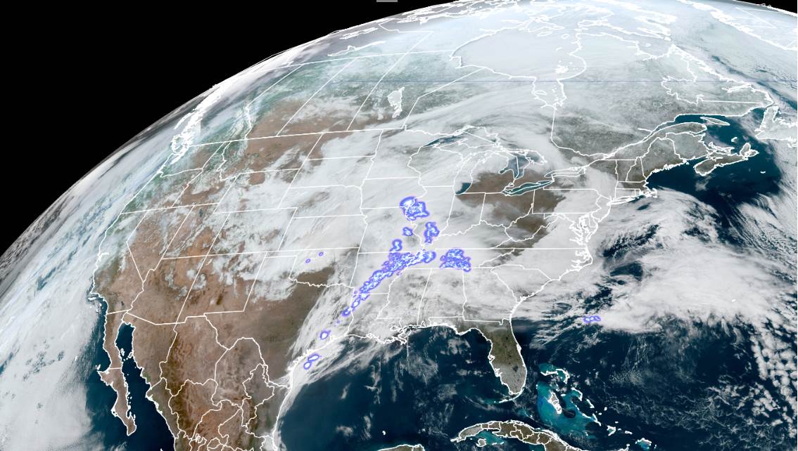
Updated Thursday Morning Forecast — March 18th, 2021

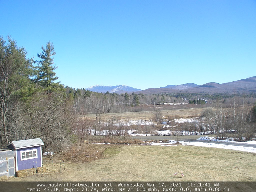
TODAY: A period of light rain showers mixed with wet snowflakes higher terrain pushes north to south this morning, exiting southward toward Rutland this afternoon. Otherwise cloudy & gray with near seasonal temperatures. A high 40 to 45. (Sap run). Southwest winds 10 mph shifting to northwesterly late.
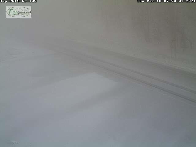
TONIGHT: Rain showers far southern areas change to snow showers before exiting. Otherwise considerable cloudiness with gradual clearing north to south. A low around 10 above. North winds pick up 10 to 20 mph…stronger near Lake Champlain.
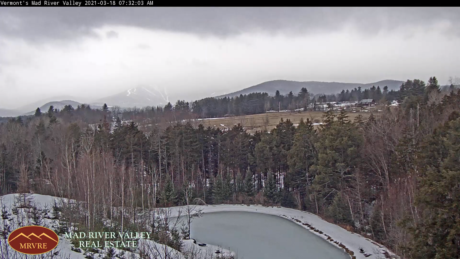
FRIDAY: A few morning clouds, otherwise mostly sunny. Continued blustery and below normal in temperature. A high around 30. North to northwest winds 10 to 20 mph.
Looking further ahead…

FRIDAY NIGHT: Clear skies. A low around 10 above.
Vernal Equinox 5:37 AM Saturday…

SATURDAY: Bright sunshine and blue skies. A high in the mid-40s. (Sap run)

SUNDAY: Sunny and well above normal in temperature. A low 20 to 25. A high 50 to 55. (Sap run)
MONDAY: Lots of sunshine. A low 25 to 30. A high pushing to near 60.

TUESDAY: More clouds than sun. A low 25 to 30. A high 60 to 65.
Average low mid-teens to mid-20s Average highs ranging upper-30s to mid-40s.

Start of Meteorological Summer June 6th… Summer peaks approx.. July 22nd based off local climatology.
RH/3-18 category forecast][end]
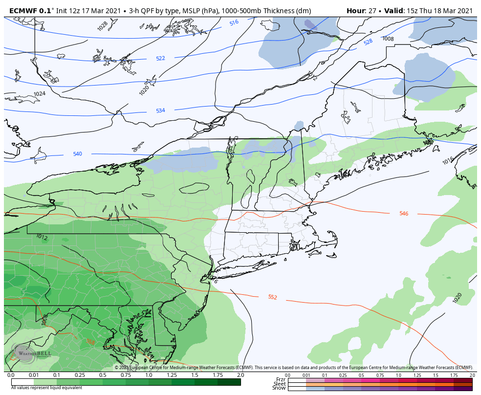
Updated Wednesday Evening Forecast — March 17th, 2021

TONIGHT: Fair this evening, otherwise increasing clouds. A low about 32 to 35. Light south winds.

TOMORROW: A round of sprinkles or light rain showers mixed with wet snowflakes higher terrain in the morning, exiting southward in the afternoon. Otherwise gray. A high 40 to 45. Southwest winds 10 mph shifting to northwesterly late. (Sap run)

THURSDAY NIGHT: Rain showers far southern areas change to snow showers before exiting. Otherwise considerable cloudiness. & blustery at times. A low around 10 above. North winds 10 to 15 mph.

FRIDAY: Morning clouds and blustery, then increasing sunshine. A high 25 to 30. North to northwest winds 10 to 20 mph.

Looking further ahead…

FRIDAY NIGHT: Clear skies. A low around 10 above.

Vernal Equinox 5:37 AM Saturday…

SATURDAY: Bright sunshine and blue skies. A high in the mid-40s. (Sap run)

SUNDAY: Sunny and well above normal in temperature. A low in the low 20s. A high 50 to 55. (Sap run)

MONDAY: Lots of sunshine. A low 25 to 30. A high near 60.

TUESDAY: Mixed sun and clouds. A low 25 to 30. A high 60 to 65.

Average low mid-teens to mid-20s Average highs ranging upper-30s to mid-40s.

Start of Meteorological Summer June 6th… Summer peaks approx.. July 22nd based off local climatology.

RH/3-17 category forecast][end]
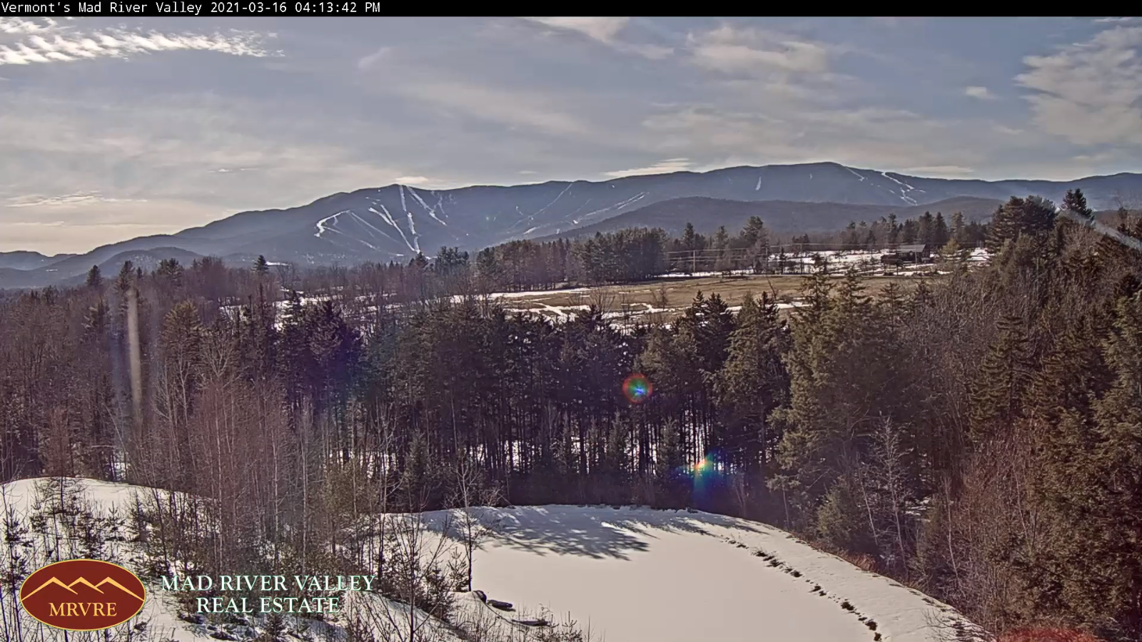
Updated Wednesday Morning Forecast — March 17th, 2021

TODAY: Mostly sunny & milder. More clouds late this afternoon. A high 45 to 50. Light southwest wind. (Sap run)

TONIGHT: Clouding up. Chance for a few sprinkles or wet snow flakes developing toward daybreak. A low 32 to 35. Light south winds.

THURSDAY: Gray skies. A round of sprinkles or morning showers, exiting southward. A high in the low to mid 40s. Southwest winds 10 mph shifting to northwesterly late. (Sap run)

Looking further ahead…

THURSDAY NIGHT: Cloudy. An evening rain or mountain snow shower far southern areas. A low mid-single digits to low teens.

FRIDAY: Morning clouds and blustery, giving way to increasing sunshine. A high 25 to 30.

Vernal Equinox 5:37 AM Saturday…

SATURDAY: Bright sunshine and blue skies. A low 5 to 15. A high mid to upper 40s. (Sap run)

SUNDAY: Sunny and well above normal in temperature. A low 20 to 25. A high upper 40s northern areas to upper 50s. (Sap run)

MONDAY: Lots of sunshine. A low 25 to 30. A high near 60.

TUESDAY: Mixed sun and clouds. A low around 30. A high 60 to 65.

Average low mid-teens to mid-20s Average highs ranging upper-30s to mid-40s.

Start of Meteorological Summer June 6th… Summer peaks approx.. July 22nd based off local climatology.

RH/3-17 category forecast][end]
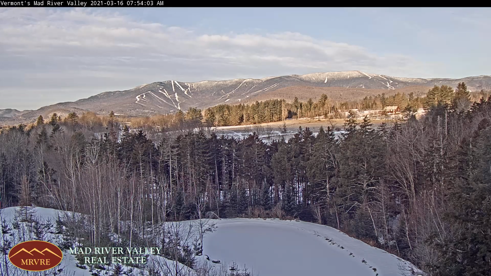
Updated Tuesday Evening Forecast — March 16th, 2021

TONIGHT: High cloudiness early, then clearing. A low 10 to 15. Light south winds.

TOMORROW: Mostly sunny. More clouds developing late. A high 45 to 50. Light southwest wind. (Sap run)

WEDNESDAY NIGHT: Cloudy. Maybe a sprinkle late. A low 32 to 35. Light south winds.

THURSDAY: Cloudy. A round of sprinkles or brief showers in the morning exiting southward. A high mid-40s. Southwest winds 10 mph shifting to northwesterly late. (Sap run)

Looking further ahead…

THURSDAY NIGHT: Cloudy. An evening rain or mountain snow shower far southern areas. A low ranging upper single digits

to mid-teens.

FRIDAY: Morning clouds and blustery, giving way to increasing sunshine.

A high mid-20s to near 32 degrees warmest southern areas.

Vernal Equinox 5:37 AM Saturday…

SATURDAY: Bright sunshine and blue skies. A low 5 to 15. A high ranging thru the 40s. (Sap run)

SUNDAY: Sunny and well above normal in temperature. A low in the mid-teens to near 20. A high 50 to 55. (Sap run)

MONDAY: Lots of sunshine. A low mid-20s to low 30s. A high 60 to 65.

Average low mid-teens to mid-20s Average highs ranging upper-30s to mid-40s

Start of Meteorological Summer June 6th… Summer peaks approx.. July 22nd based off local climatology.

RH/3-16 category forecast][end]
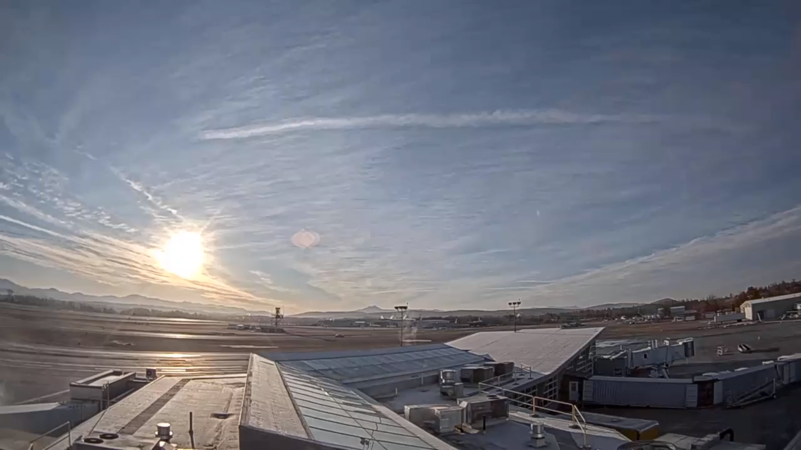
Updated Tuesday morning forecast — March 16th, 2021

TODAY: Sunshine filtered by high clouds. Warmer. A high mid to upper 30s. Light southwest winds.

TONIGHT: Mostly clear with a few high clouds. A low 10 to 15. Light southwest winds.

WEDNESDAY: Mostly sunny. A high 45 to 50. Light southwest wind. (Sap run)

Looking further ahead…

WEDNESDAY NIGHT: Clouding up. A low in the low to mid 30s

THURSDAY: Cloudy. Rising chance for a few brief showers mainly Barre-Montpelier area south. A high mid-40s. (Sap run)

FRIDAY: Morning clouds with a wet snow flakes southern areas…and blustery, giving way to increasing sunshine. A low 10 to 15.

A high 25 to 30.

Vernal Equinox 5:37 AM Saturday…

SATURDAY: Bright sunshine and blue skies. A low ranging thru the teens. A high 40 to 45. (Sap run)

SUNDAY: Sunny and well above normal in temperature. A low in the mid-teens to near 20. A high 50 to 55. (Sap run)

Average low mid-teens to mid-20s Average highs ranging upper-30s to mid-40s

Start of Meteorological Summer June 6th… Summer peaks approx.. July 22nd based off local climatology.

RH/3-16 category forecast][end]
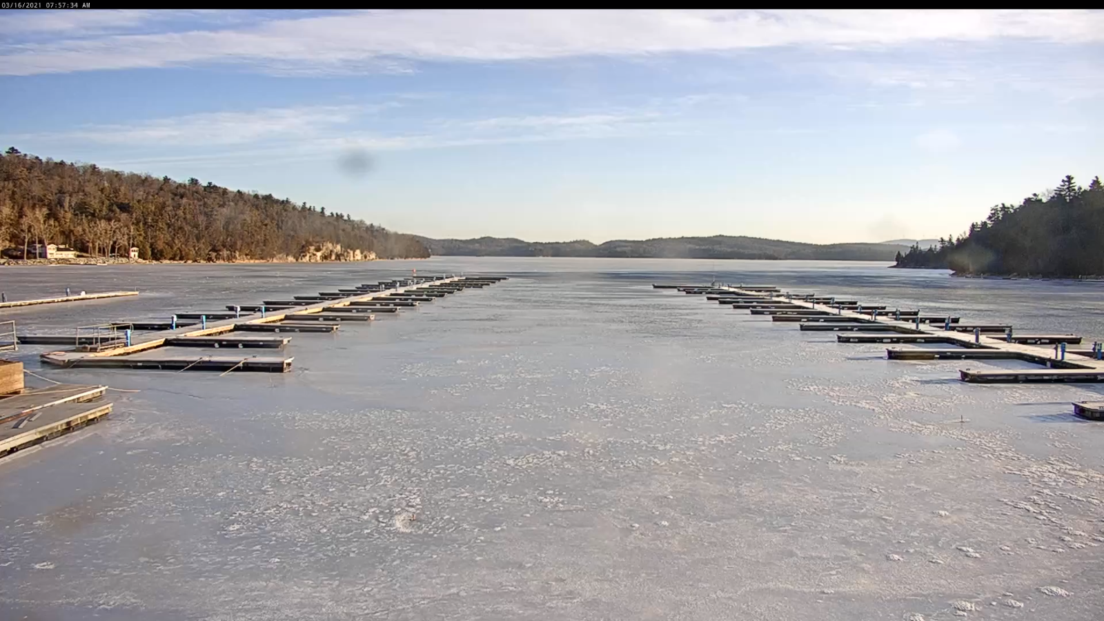
Updated Monday Evening Forecast — March 15th, 2021

TONIGHT: Mostly clear. A frigid morning low 5 below to 5 above. A light northwest wind.

TOMORROW: Sunshine filtered by high clouds. Warmer. A high around 35. Light southwest winds.

TUESDAY NIGHT: Mostly clear with a few high clouds. A low in the teens. Light southwest winds.

WEDNESDAY: Mostly sunny. A high in the mid-40s. Light southwest wind. (Sap run)

Looking further ahead…

WEDNESDAY NIGHT: Increasing high clouds. A low in the mid-20s.

THURSDAY: Cloudy. Chance for showers southern areas late. A high mid to upper 40s. (Sap run)

FRIDAY: Morning clouds with a sprinkle southern areas…and blustery, giving way to increasing sunshine. A low in the teens.

A high around 35.

Vernal Equinox 5:37 AM Saturday…

SATURDAY: Bright sunshine and blue skies. A low zero to 10 above. A high 40 to 45. (Sap run)

SUNDAY: Sunny and well above normal in temperature. A low in the mid-teens to near 20. A high near 55. (Sap run)

Average low mid-teens to mid-20s Average highs ranging upper-30s to mid-40s

Start of Meteorological Summer June 6th… Summer peaks approx.. July 22nd based off local climatology.

RH/3-15 category forecast][end]
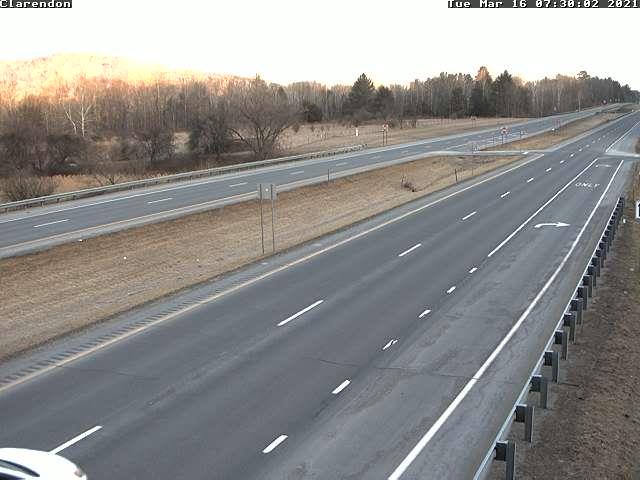
Updated Monday Morning forecast — March 15th, 2021

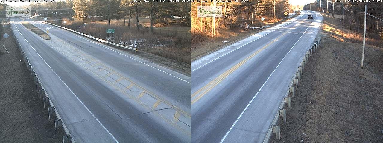
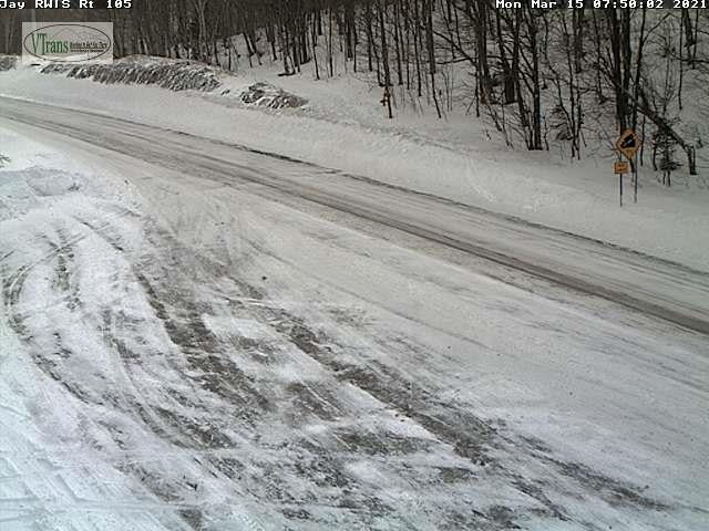
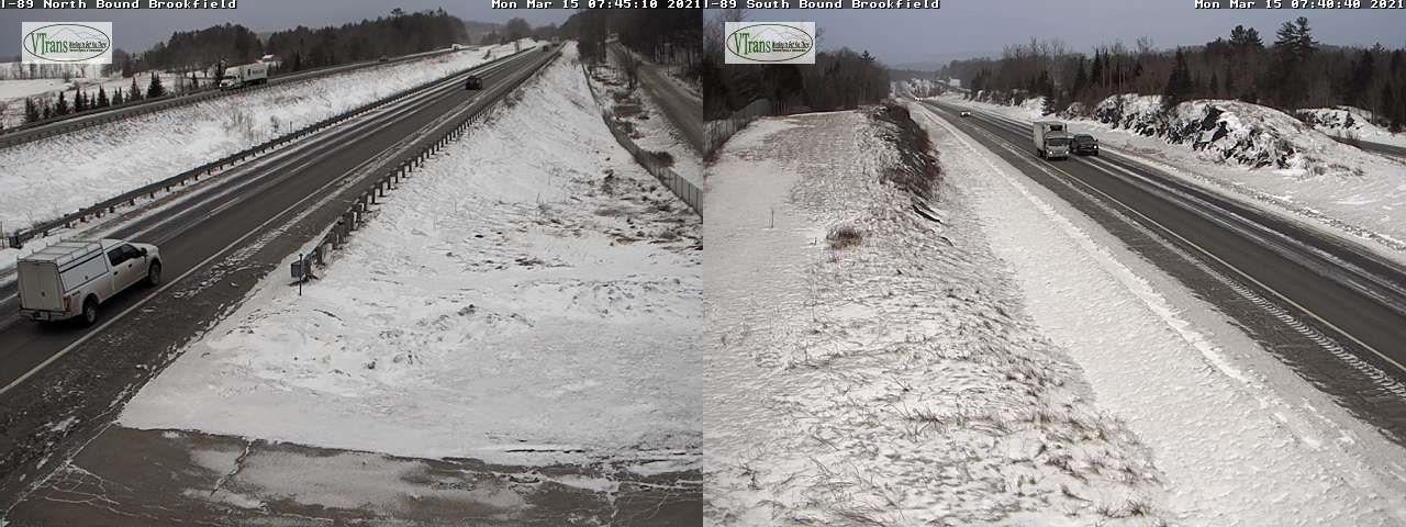
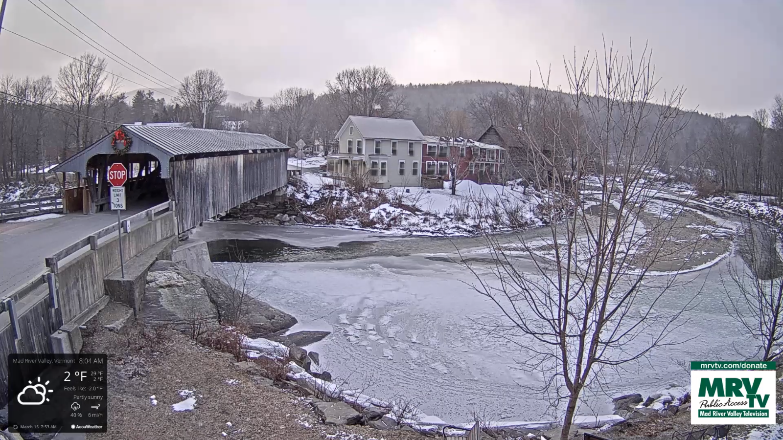
TODAY: A cold and blustery winter-like day, but becoming partly to mostly sunny after a few flurries dry up this morning. Well below normal in temperature. A high mid-teens to low 20s. Chilly northwest winds 10 to 20 mph lowering wind chills.

TONIGHT: Mostly clear. A frigid morning low 5 below to 5 above. A light northwest winds.

TUESDAY: Sunny skies after a cold start with high cloudiness developing in the afternoon. Start of a warming trend. A high around 35. Light southwest winds.

Looking further ahead…

TUESDAY NIGHT: Mostly clear with a few high clouds. A low 10 to 15.

WEDNESDAY: Mostly sunny. A high in the mid and upper 40s. (Sap run)

THURSDAY: Becoming mostly cloudy. A low in the mid-20s. A high 45 to 50. (Sap run)

FRIDAY: Morning clouds and blustery, giving way to increasing sunshine. A low in the teens. A high 35 to 40.

Vernal Equinox 5:37 AM Saturday…

SATURDAY: Bright sunshine and blue skies. A low 5 to 15 above. A high in the mid-40s. (Sap run)

SUNDAY: Sunny and well above normal in temperature. A low around 20. A high in the 50s. (Sap run)

Average low mid-teens to mid-20s Average highs ranging upper-30s to mid-40s

Start of Meteorological Summer June 6th… Summer peaks approx.. July 22nd based off local climatology.

RH/3-15 category forecast][end]
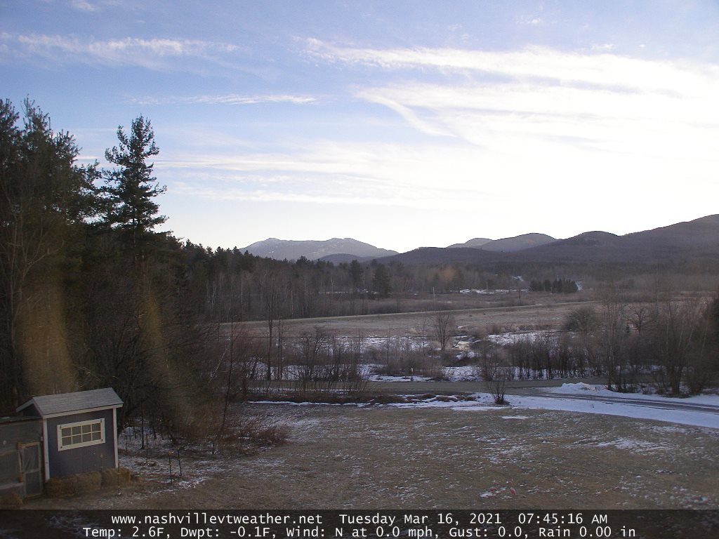
Updated Monday Morning forecast — March 15th, 2021

TODAY: A cold and blustery winter-like day, but becoming partly to mostly sunny after a few flurries dry up this morning. Well below normal in temperature. A high mid-teens to low 20s. Chilly northwest winds 10 to 20 mph lowering wind chills.

TONIGHT: Mostly clear. A frigid morning low 5 below to 5 above. A light northwest winds.

TUESDAY: Sunny skies after a cold start with high cloudiness developing in the afternoon. Start of a warming trend. A high around 35. Light southwest winds.

Looking further ahead…

TUESDAY NIGHT: Mostly clear with a few high clouds. A low 10 to 15.

WEDNESDAY: Mostly sunny. A high in the mid and upper 40s. (Sap run)

THURSDAY: Becoming mostly cloudy. A low in the mid-20s. A high 45 to 50. (Sap run)

FRIDAY: Morning clouds and blustery, giving way to increasing sunshine. A low in the teens. A high 35 to 40.

Vernal Equinox 5:37 AM Saturday…

SATURDAY: Bright sunshine and blue skies. A low 5 to 15 above. A high in the mid-40s. (Sap run)

SUNDAY: Sunny and well above normal in temperature. A low around 20. A high in the 50s. (Sap run)

Average low mid-teens to mid-20s Average highs ranging upper-30s to mid-40s

Start of Meteorological Summer June 6th… Summer peaks approx.. July 22nd based off local climatology.

RH/3-15 category forecast][end]
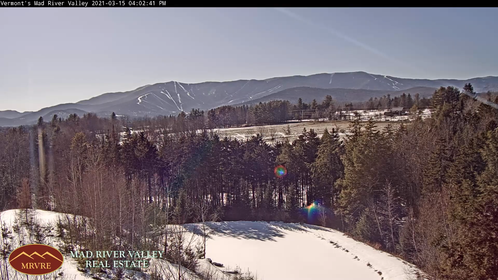
Updated Friday Evening Forecast — March 12th, 2021

TONIGHT: Mostly cloudy, Blustery to windy & turning sharply colder. Accumulating light snow showers…a risk of a snow squall. A dusting to 2”…most near Quebec border. A low 15 to 20. West to northwest winds 10 to 25 mph with higher gusts in the hills.

TOMORROW: Clouds, maybe a stray flurry early, then partly to mostly sunny. Blustery & colder. A high mid-20s ranging to near 32 degrees southern areas. Northwest winds 10 to 15 mph.

SATURDAY NIGHT: Cloudy. Occasional light snow showers or flurries arriving early, a dusting to 2”especially northern areas. A low upper teens to low 20s. Light southwest winds.

SUNDAY: Considerable cloudiness. Chance for snow showers or flurries. Minor coatings. A high in the mid-20s to near 30. Northwest winds 10 to 25 mph and gusty.

Looking further ahead…

SUNDAY NIGHT: Cloudy. Widely scattered snow showers or flurries. A dusting in spots. A low in the single digits above zero.

MONDAY: Becoming mostly sunny. A high mid-teens to low 20s. Still blustery.

TUESDAY: Sunny skies after a cold start with high cloudiness later on. A frigid morning low 5 below to 5 above. A high

In the mid-30s.

WEDNESDAY: Mostly sunny. A low in the 20s. A high pushing into mid and upper 40s. (Sap run)

Average low mid-teens to low 20s Average highs ranging mid-30s to near 40.

Start of Meteorological Summer June 6th… Summer peaks approx.. July 22nd based off local climatology.

RH/3-12category forecast][end]
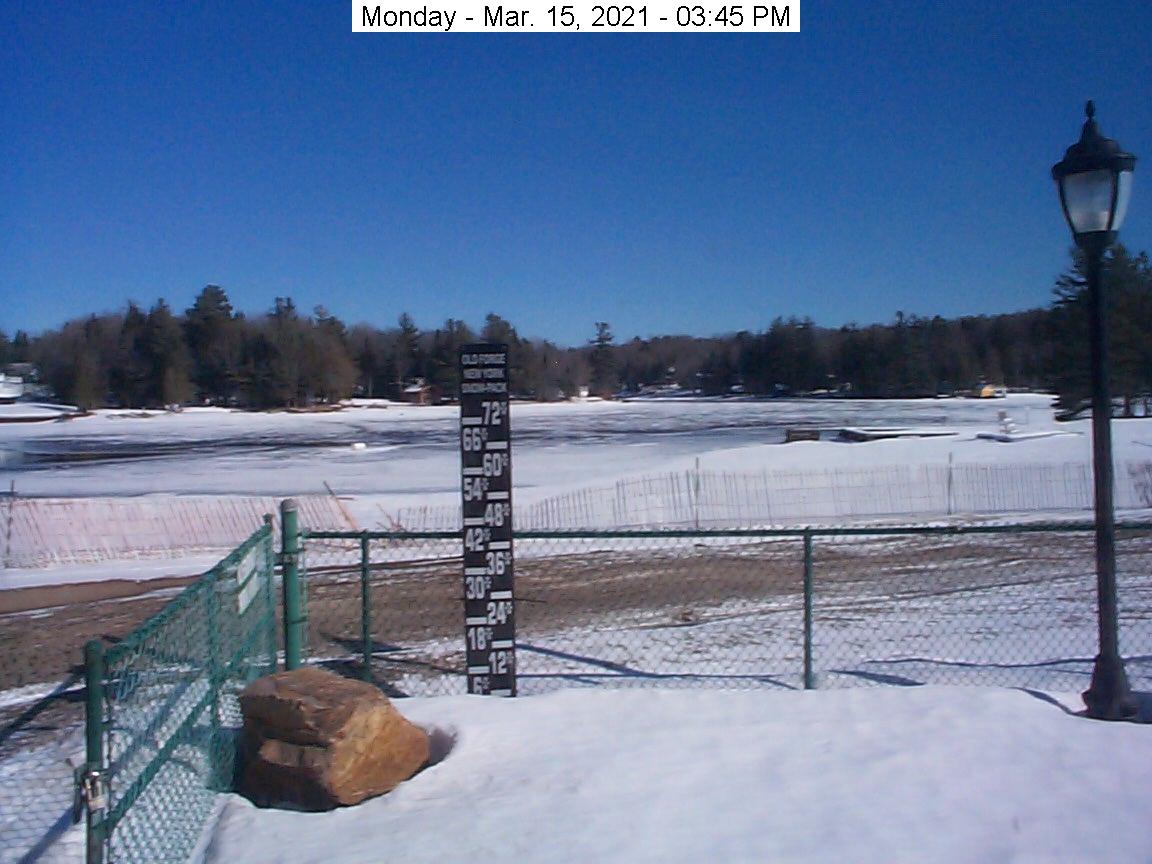
Updated Friday Morning forecast — March 12th, 2021

TODAY: Mostly sunny, some cloudiness late across northern areas. Above seasonal levels. A high 45 to 50 except low to mid 40s northern tier region. West breeze 10 mph.

TONIGHT: Mostly cloudy, Blustery to windy & turning sharply colder. Accumulating light snow showers…a risk of a snow squall. A dusting to 2”…most near Quebec border. A low 15 to 20. West to northwest winds 10 to 20 mph with locally higher gusts.

SATURDAY: Clouds, then partly to mostly sunny. Blustery to windy & colder. A high mid-20s ranging to near 32 degrees southern areas. Gusty northwest winds 10 to 20 mph.

Looking further ahead…

SATURDAY NIGHT: Cloudy. Occasional light snow showers or flurries developing with a minor coating northern areas. A low upper teens to low 20s.

SUNDAY: Variably cloudy. Chance for snow showers. Additional accumulation up to an inch. A high in the mid-20s to near 30. Gusty northwest winds.

MONDAY: Morning clouds then mostly sunny. A low in the single digits above zero. A high mid-teens to low 20s.

TUESDAY: Sunny skies after a cold start with high cloudiness later on. A frigid morning low 5 below to 5 above. A high In the mid-30s.

WEDNESDAY: Mostly sunny. A low in the 20s. A high pushing into the 40s. (Sap run)

Average low mid-teens to low 20s Average highs ranging mid-30s to near 40.

Start of Meteorological Summer June 6th… Summer peaks approx.. July 22nd based off local climatology.

RH/3-11category forecast][end]