My Updated Monday Night Forecast — February 17th, 2025

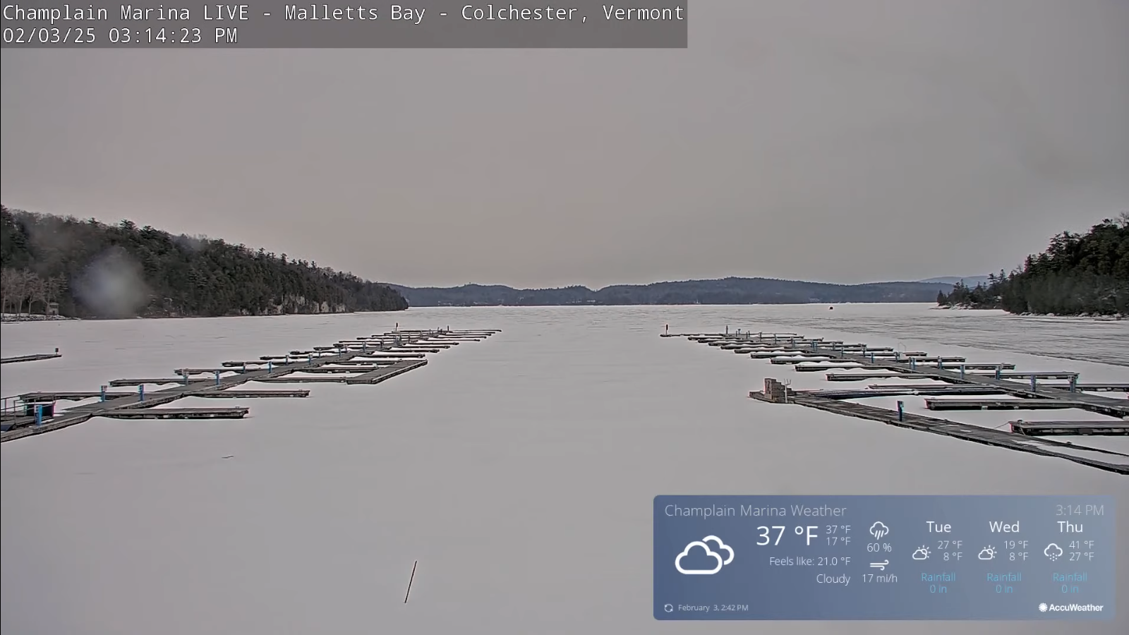
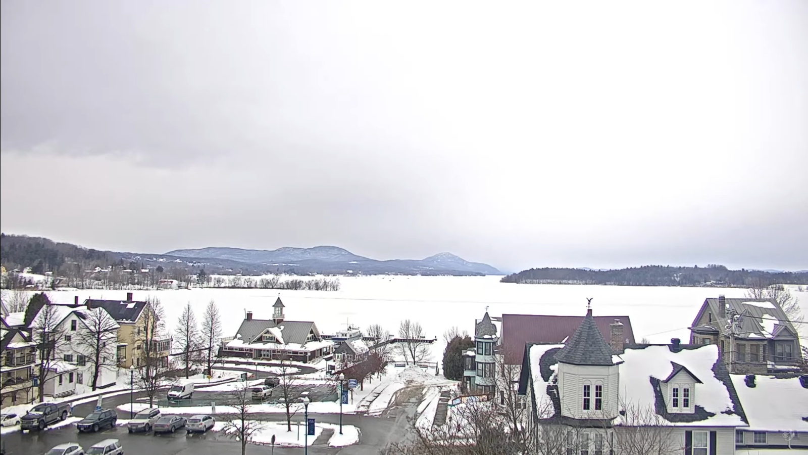
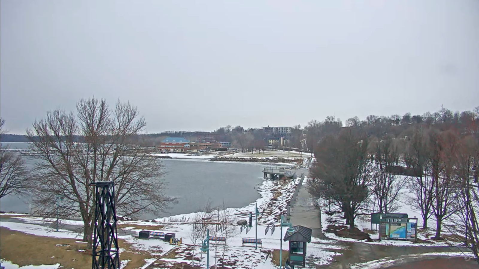
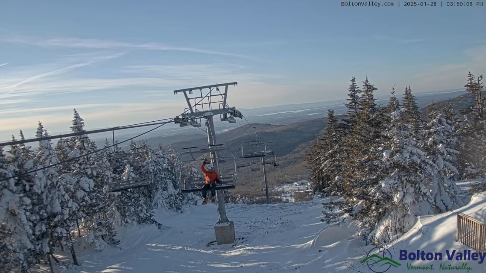
Roger Hill’s Radio Vermont Forecast 3:00 PM Monday 2-17-25

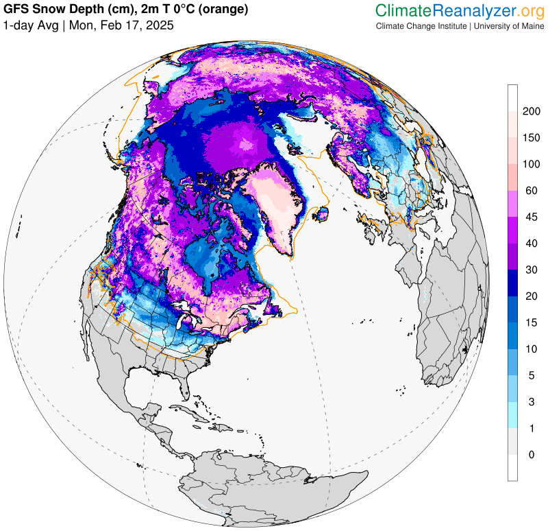
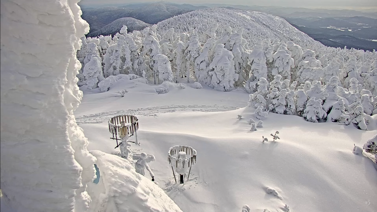
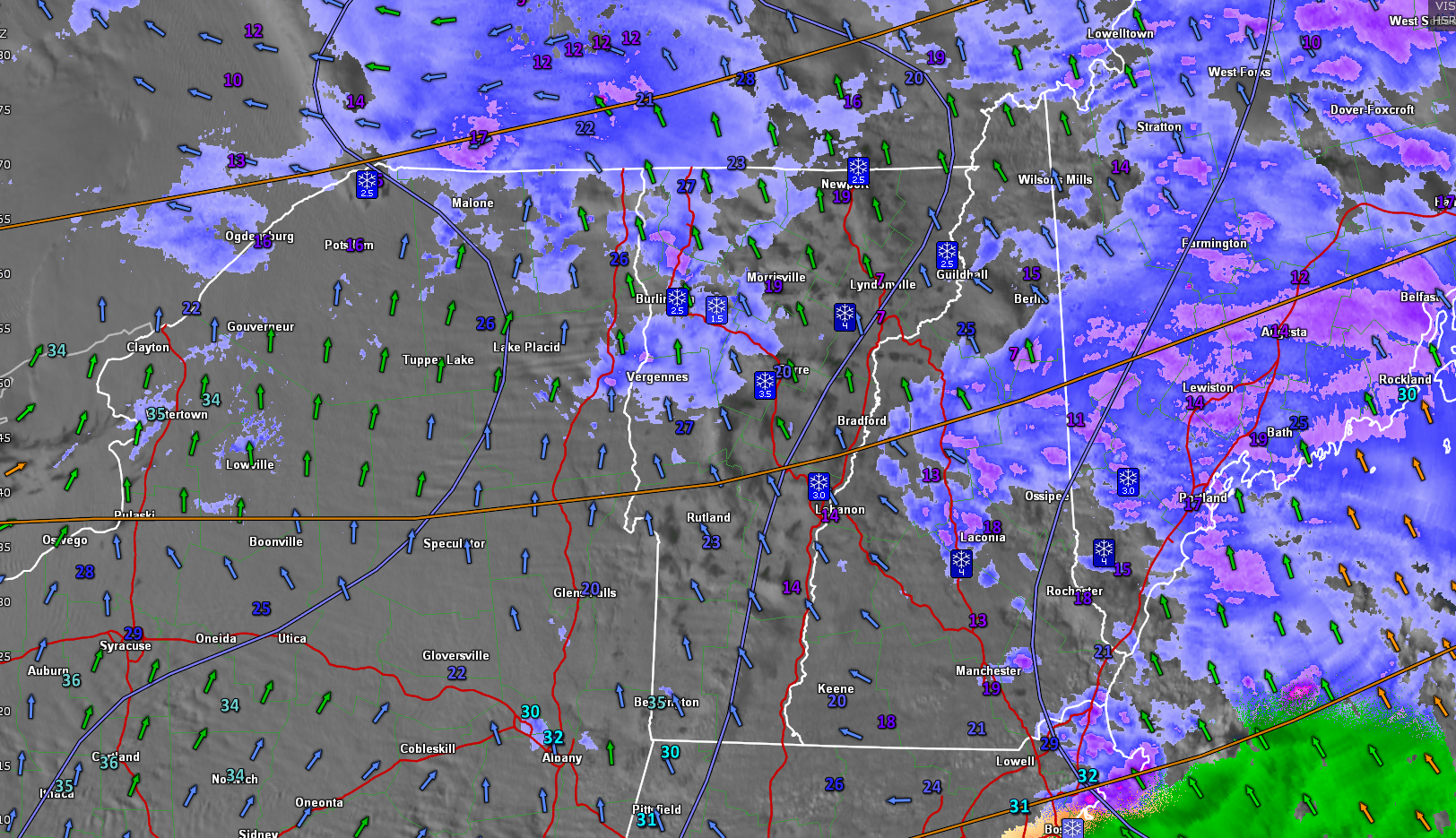
High Wind Warning central Greens, and Wind Advisories continue, along with a Winter Weather…and a Cold Weather Advisory into this evening…

TONIGHT: Clouds northern areas with a few lingering flurries, mostly clear otherwise. Blustery at times…with lowered wind chills. A low 5 below to 5 above. West to northwest winds 10 to 20 mph.

TOMORROW: Clouds in northern areas with lingering flurries, otherwise partly to mostly sunny.Blustery to windy with lowered wind chills.A high upper single digits near 10 above. West to northwest winds 10 to 25 mph with minor blowing and drifting.

TUESDAY NIGHT: Variable clouds. A few flurries.A low 5 below to 5 above. Northwest winds becoming light.

WEDNESDAY: Partly to mostly sunny. A high mid to upper teens. Northwest winds 10 mph.

Looking further ahead

WEDNESDAY NIGHT: Mostly clear. A low zero to 10 below.

THURSDAY: Clouds with a few intervals of sun. Chance for a northern flurry. A high near 20.

FRIDAY: Partly to mostly sunny. A low around 10. A high mid to upper teens.

SATURDAY: Thickening clouds. Chance for snow showers or flurries late with minor accumulation. A low 5 below to 5 above. A high around 25.

Average low-ranging single digits to low teens. Average high upper 20s to about 32 or freezing

Updated Friday Night Forecast — February 14th, 2025

Roger Hill’s Radio Vermont Forecast 3:00 PM Friday 2-14-25

TONIGHT: A stray flurry early, otherwise fair with high cloudiness. Frigid. A low ranging 10 below to 5 above. Light northwest winds.

Winter Storm Watch Saturday evening thru Sunday evening…

TOMORROW: Thickening clouds. Periods of light accumulating snow arriving late in the afternoon. Dusting to an inch.A high 20 to 25. Little wind.

SATURDAY NIGHT: Overcast. Periods of snow continuing. Accumulation 1 to locally 3”.A low mid to upper teens. Light east to southeast winds.

SUNDAY: Gray. Snow…moderate to heavy for a time, with a wintry mix southern half of the state. Additional accumulation about 4 to 7”. A high about 25. East to southeast winds 10 mph.

Looking further ahead

SUNDAY NIGHT: Cloudy. Periods of snow winding down late. Total accumulation 6 to 12” possibly more in the mountains…with light glazing central and southern areas. Blustery to windy…with blowing and drifting and lowered wind chills.. A low near 10.

MONDAY: Leftover snow showers drying up. Minor additional accumulation. Intervals of afternoon sun. Blustery to windy with blowing an drifting, and lowered wind chills. A high 10 to 15.

TUESDAY: Clouds…Maybe a stray flurry far north. Otherwise periods of sun, central and south. Rather frigid. A low 5 below to 5 above. A high 10 to 15.

WEDNESDAY: Mostly sunny, with more clouds far north. A low 5 below to 10 above. A high mid teens

Average low ranging single digits to low teens. Average high upper 20s to about 32 or freezing

RH/2-14[forecast][end]

Updated Thursday Night Forecast — February 13th, 2025

Roger Hill’s Radio Vermont Forecast 3:00 PM Thursday 2-13-25

Winter Weather Advisory expires this evening…

TONIGHT: Considerable clouds giving way to partial clearing. Turning blustery to windy with scattered northern mountain flurries. Just a dusting. A low 10 to 15. West to northwest winds 10 to 25 mph and gusty.

TOMORROW: Valentine’s Day: Morning clouds, then partly sunny blustery and cold. A high about 15 to 20. Northwest winds 10 to 25 mph and gusty lowering wind chills.

FRIDAY NIGHT: Mostly clear early then high clouds. Frigid. A low ranging 10 below to 5 above. Light northwest winds.

SATURDAY: Thickening clouds. Periods of light accumulating snow likely in the afternoon. Dusting to an inch.A high 20 to 25. Little wind.

Looking further ahead

SATURDAY NIGHT: Overcast. Periods of snow likely continuing. Additional accumulation 1 to locally 4”.A low in the teens.

SUNDAY: Gray. Good chance for lingering snow with a wintry mix southern half of the state. Accumulation of a several additional inches possible. A high in the 20s.

MONDAY: Clouds with a few leftover snow showers drying up with a light coating north. Intervals of afternoon sun. A low near 10. A high mid to upper teens.

TUESDAY: Clouds…Maybe a stray flurry far north. Otherwise periods of sun, central and south. Rather frigid. A low minus 5 to 5 above. A high 5 to 10 degrees.

Average low ranging single digits to low teens. Average high upper 20s to about 32 or freezing

RH/2-13[forecast][end]

Updated Wednesday Night Forecast — February 12th, 2025

Roger Hill’s Radio Vermont Forecast 3:00 PM Wednesday 2-12-25

Winter Weather Advisory this evening thru 7 PM Thursday south of the Barre-Montpelier area

TONIGHT: Thickening clouds, leading to light accumulating snow. An inch or two accumulation. An evening low 10 to 15 then warmer overnight. Winds picking up southeast 10 to 25 mph, stronger gusts western slopes overnight.

TOMORROW: Gray. A wintry mix of snow, sleet and pockets of freezing rain producing slick travel in the morning. Mixed precip east of the Greens…transitions to scattered rain showers in the afternoon. Milder with a late day high pushing 40. Southeast winds 10 to 20 mph in the morning, stronger western slopes of the Greens…shifting to westerly late.

THURSDAY NIGHT: Considerable clouds & blustery to windy. Scattered northern mountain flurries with a light coating in spots. A low 10 to 15. West to northwest winds 10 to 25 mph and gusty.

FRIDAY Valentine’s Day: Morning clouds, then partly sunny blustery and cold. A high just 15 to 20. Northwest winds 10 to 25 mph and gusty lowering wind chills.

Looking further ahead

FRIDAY NIGHT: Becoming mostly clear. Frigid. A low zero to 10 below.

SATURDAY: Thickening clouds. Chance for periods of accumulating snow developing late. Dusting to an inch.A high near 25.

SUNDAY: Overcast. Chance for snow or mixed precipitation transitioning to occasional wet snow mixed with rain. Accumulation about 3 to 6”. A low in the teens. Highs upper 20s to low 30s.

MONDAY: Partly sunny. A low 10 to 15. A high mid to upper teens.

Average low ranging single digits to low teens. Average high upper 20s to about 32 or freezing

RH/2-12[forecast][end]

updated Tuesday Night Forecast — February 11th, 2025

Roger Hill’s Radio Vermont Forecast 3:00 PM Tuesday 2-11-25

TONIGHT: Scattered flurries this evening northern areas with a dusting, then partly cloudy. A low ranging 5 below to 5 above. Light northwest winds.

Full Snow Moon 8:53 AM

TOMORROW: Sunshine mixed with clouds.A high 20 to 25. West to southwest winds 10 to 20 mph.

WEDNESDAY NIGHT: Thickening clouds, leading to light accumulating snow showers. An inch or two. A low around 15. Light north winds.

THURSDAY: Gray. Light wintry mix likely, with slippery travel early, giving way to scattered rain showers in the afternoon. Temperatures peaking above freezing with a high mid to upper 30s. Light northeast winds.

Looking further ahead

THURSDAY NIGHT: Considerable clouds & turning blustery. Scattered northern mountain flurries. An early low single digits to mid-teens then rising overnight.

FRIDAY: Partly to mostly sunny. A high 15 to 20.

SATURDAY: Thickening clouds. Chance for light accumulating snow/snow showers. Dusting to an inch.A low minus 5 to 5 above. A high in the mid-20s.

SUNDAY: Overcast. Chance for snow, with few inches possible. A low in the teens. Highs upper 20s to low 30s.

Average low ranging single digits to low teens. Average high upper 20s to about 32 or freezing

RH/2-11[forecast][end]

Updated Thursday Night Forecast — February 6th, 2025

Roger Hill’s Radio Vermont Forecast 3:00 PM Thursday 2-6-25

Winter Weather Advisory expires late this evening…

TONIGHT: Occasional flurries with a light coating northern areas, otherwise mostly cloudy. Becoming blustery at times and milder. Temperatures ranging upper 20s to mid-30s. Winds becoming southwesterly 10 to 20 mph & gusty.

TOMORROW: Morning flurries northern areas with little accumulation. Otherwise blustery to windy with breaks of sun. Temperatures in the low to mid-20s. West to northwest winds 10 to 25 mph with higher gusts east of Greens…with blowing and drifting.

FRIDAY NIGHT: Becoming partly cloudy. Chance for a few flurries especially western areas. A low around 15. Light northwest winds.

SATURDAY: Lots of clouds.A round of scattered flurries in the morning. A high lower 20s. West to northwest winds 10 to 15 mph.

Looking further ahead

SATURDAY NIGHT: Overcast. Rising chance for more light accumulating snow late evening on. About 1 to 2” accumulation. A low around 10.

SUNDAY: Cloudy. Chance for additional light accumulating snow…tapering to a few stray afternoon flurries. A high near 25.

MONDAY: A morning flurry, then becoming partly sunny. A low 5 below to 5 above. A high near 20.

TUESDAY: Brief morning sun, then clouding up. A low 5 below to 5 above. A high upper teens around 20.

Average low ranging low single digits to low teens. Average high mid-20s to low 30s.

RH/2-5-25forecast][end]

Updated Wednesday Night Forecast — February 5th, 2025

Roger Hill’s Radio Vermont Forecast 3:00 PM Wednesday 2-5-25

TONIGHT: Mostly clear early, then thickening high and mid-level clouds. A low around minus 5. Little wind.

TOMORROW: Gray, periods of snow… likely late morning on, moderate at times. Wet snow tapers to a wintry mix with light glazing before tapering off. Snow accumulation about 2 to locally 4” most southern Greens. A late day high mid-20s. Southeast winds 10 to 15 mph.

THURSDAY NIGHT: Evening flurries with little additional accumulation, gives way to partial clearing overnight & blustery. Milder with temperatures in the low to mid 30s. West to southwest winds 10 to 20 mph & gusty

FRIDAY: A few stray mountain flurries. Otherwise blustery to windy with clouds & intervals of sun. Winds southwesterly 10 to 25 mph & gusty. Temperatures falling thru the 20s. West to northwest winds 10 to 25 mph with higher gusts with blowing and drifting.

Looking further ahead

FRIDAY NIGHT: Mostly cloudy. Chance for lingering flurries especially north. A low 10 to 15.

SATURDAY: Mostly cloudy.Scattered flurries. A high in the low 20s.

SUNDAY: Cloudy. Chance for accumulating (plowable) snowfall of several inches. A low in the single digits. A high 20 to 25.

MONDAY: Becoming partly to mostly sunny. A low zero to 10. A high near 20.

Average low ranging low single digits to low teens. Average high mid-20s to low 30s.

RH/2-5-25forecast][end]

Updated Monday Night Forecast — February 3rd, 2025

Winter Weather Advisory for portions of northern Vermont thru 7 AM Tuesday…

TONIGHT: Overcast. Wet slushy snow…moderate at times mixed with rain in lower valleys and parts of southern Vermont, exiting before daybreak. Accumulation of 1 to 3” locally more mountains. A low 15 to 20 north warmer south. Northwest winds 10 mph.

TOMORROW: Clouds with a few stray flurries giving way to intervals of afternoon sunshine. A high around 20. Northwest winds 10 to 20 mph and gusty.

TUESDAY NIGHT: Mostly clear to partly cloudy with a stray mountain flurry. Colder. A low in the single digits. Light northwest winds.

WEDNESDAY: Mostly sunny and a beauty. Rather cold. A high upper single digits to low teens. Light west winds.

Looking further ahead

WEDNESDAY NIGHT: Clear in the evening then high cloudiness. Frigid. A low 5 below to 5 above.

THURSDAY: Thickening clouds. Rising chance for snow…moderate at times…mixing with sleet and pocket of freezing rain and some icing…tapering off in the evening. Accumulation around 2 to locally 5”. Late high in the mid-20s to near 30.

FRIDAY: Chance for a snow shower or flurry early, with minor coatings, then periods of afternoon sun. An early high 30 to 35 then blustery to windy at times and sharply colder.

SATURDAY: Lots of clouds.Maybe a late day flurry with chance for more accumulating snow arriving before midnight.Lows 10 to 15. A high 20 to 25.

Average low ranging low single digits to low teens. Average high mid-20s to low 30s.

RH/2-3-25forecast][end]

Tuesday Night Forecast — January 28th, 2025

Roger Hill’s Radio Vermont Forecast 3:00 PM Tuesday 1-28-25

TONIGHT: Fair then increasing clouds. Light accumulating snow or snow showers become likely before midnight. Accumulation up to 2 inches. An evening low 5 below to 5 above. South winds 10 mph.

TOMORROW: Gray.Occasional light snow or flurries. Additional accumulations of 1 to locally 3 inches.Highs ranging mid-20s north and close to 30 central and south. Light winds become northwesterly 10 mph in the afternoon.

WEDNESDAY NIGHT: A few leftover flurries early with a dusting, then partial clearing. A low 5 below to 5 above. South winds 10 to 15 mph.

THURSDAY: A few mountain clouds with periods of sunshine.Blustery at times.A high around 15. West to northwest winds 10 to 25 mph with some blowing and drifting.

Looking further ahead

THURSDAY NIGHT: Becoming partly to mostly cloudy. An early low zero to 5 above.

FRIDAY: A few flurries early with a light coating in spots.Otherwise some intervals of sun before more clouds, with another chance for light wet snow accumulation developing in the afternoon.A high mid-30s to near 40.

SATURDAY: A few morning clouds and stray flurries, then partly to mostly sunny. Frigid. Temperatures holding in the single digits.

SUNDAY: Filtered sun though high clouds, thickening up in the afternoon. A low minus 5 to minus 15. A high 10 to 15.

Average low ranging low single digits to low teens. Average high mid-20s to low 30s.

RH/1-28-25forecast][end]

Updated Monday Night Forecast — January 27th, 2025

Roger Hill’s Radio Vermont Forecast 3:00 PM Monday 1-27-25

TONIGHT: Clouding up. Chance for snow showers or flurries developing. A dusting to an inch far north. Low in the upper teens around 20. Blustery at times. Southwest winds 10 to 20 mph.

TOMORROW: Snow showers with a risk of a snow squall or two drying up late morning on. Less than an inch.Increasing afternoon sunshine.Sharply colder with temperatures falling into the single digits.Winds shifting southwesterly to northwest 10 to 20 mph, with some blowing and drifting and lowered wind chills.

TUESDAY NIGHT: Partly cloudy early before more clouds. A rising chance for light accumulating snow showers or flurries. Minor accumulation. An evening low 5 below to 5 above. Light south winds.

WEDNESDAY: Gray.Occasional light snow or flurries. Accumulations of 1 to 2 inches.Highs ranging thru the teens north and 25 to 30 central and south. Light winds become northwesterly 10 mph in the afternoon.

Looking further ahead

WEDNESDAY NIGHT: Scattered flurries with a dusting, then partial clearing. A low ranging 5 below to 10 above.

THURSDAY: Clouds with periods of afternoon sunshine.A high in the mid-teens.

FRIDAY: Mostly gray with a chance for light snow showers. Some accumulation.A low near zero. A high near 35.

SATURDAY: A few clouds, then mostly sunny. A low 10 below to 5 above. A high in the single digits.

Average low ranging low single digits to low teens. Average high mid-20s to low 30s.

RH/1-27-25forecast][end]