Updated Friday Evening Forecast — June 18th, 2021

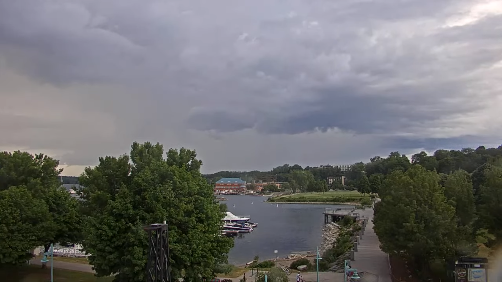
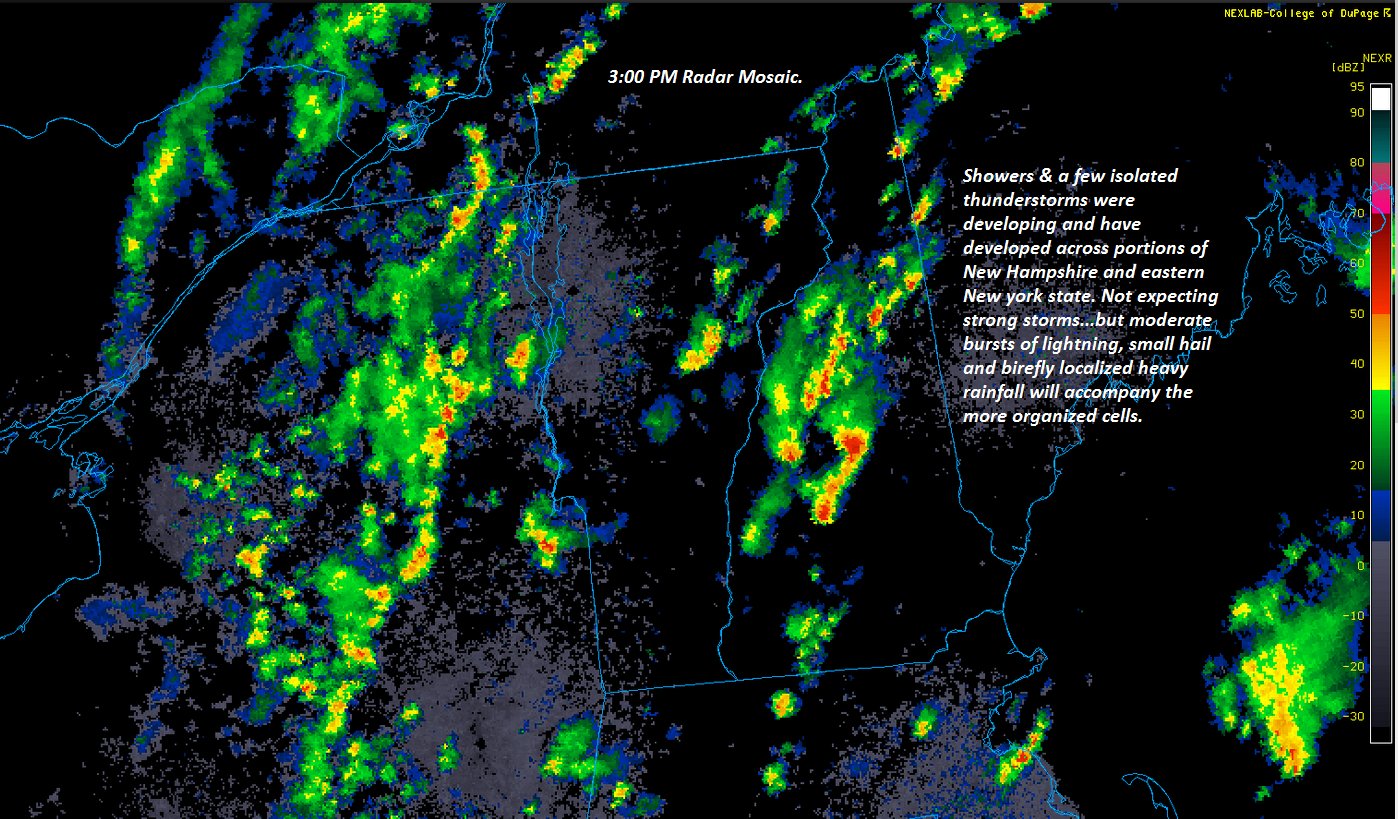
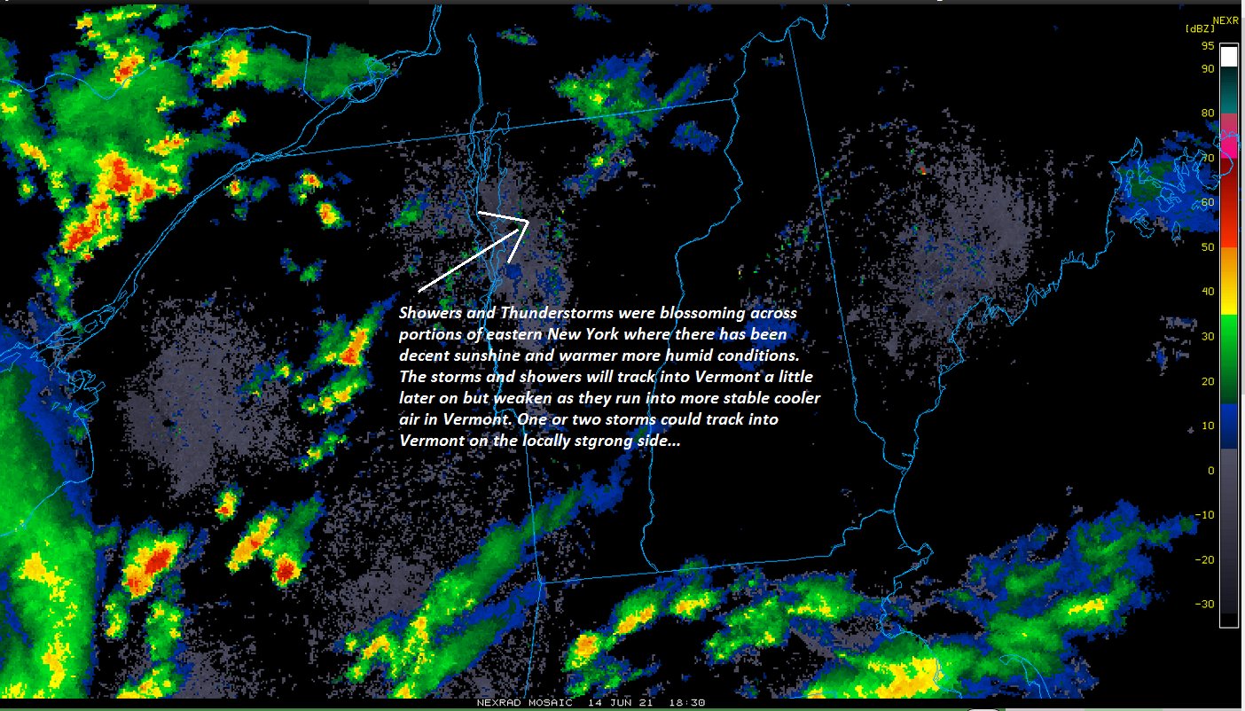
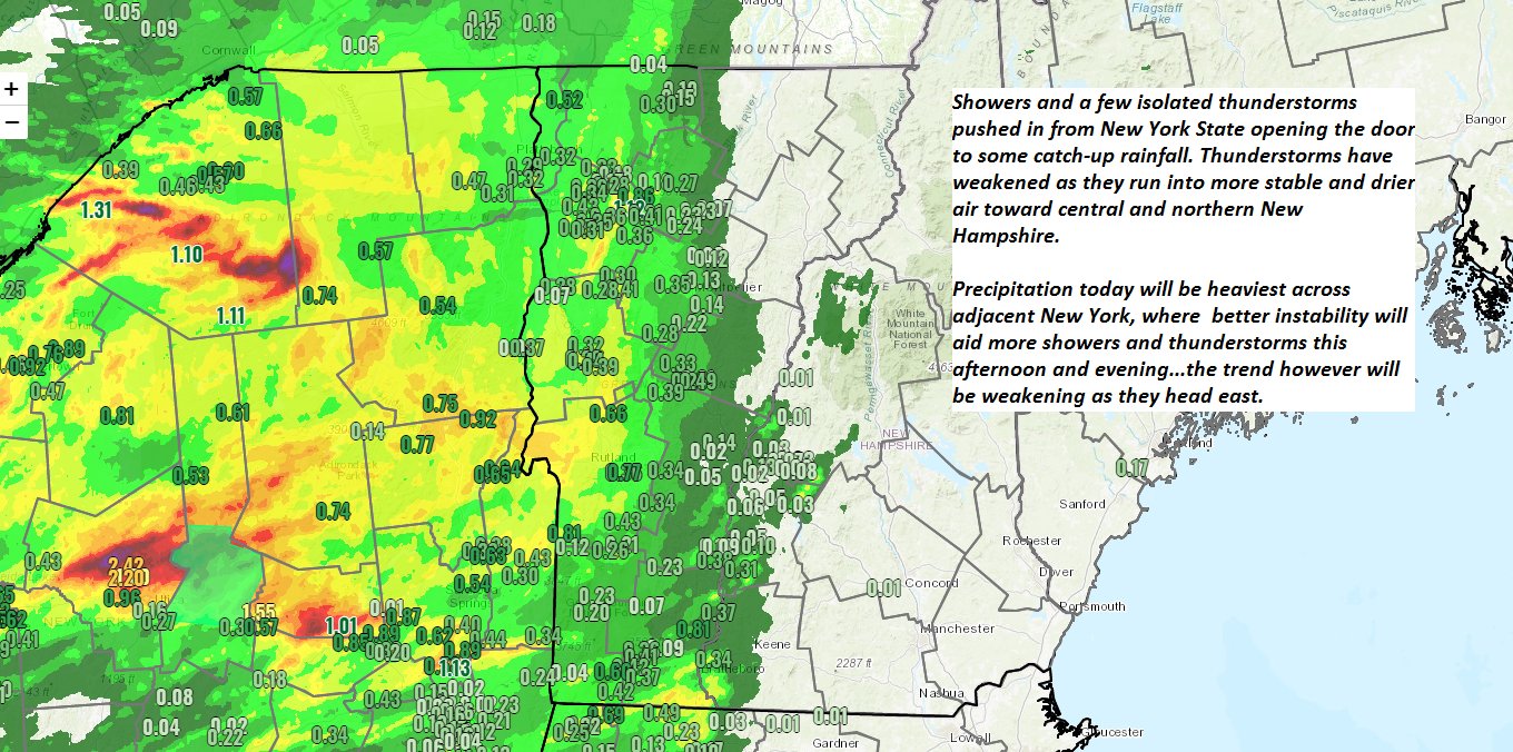
TONIGHT: Overcast. Light showers develop early to mid-evening becoming moderate overnight. Maybe a rumble or two of thunder.Muggier. A low in the lower 60s. Light south wind except stronger Lake Champlain.

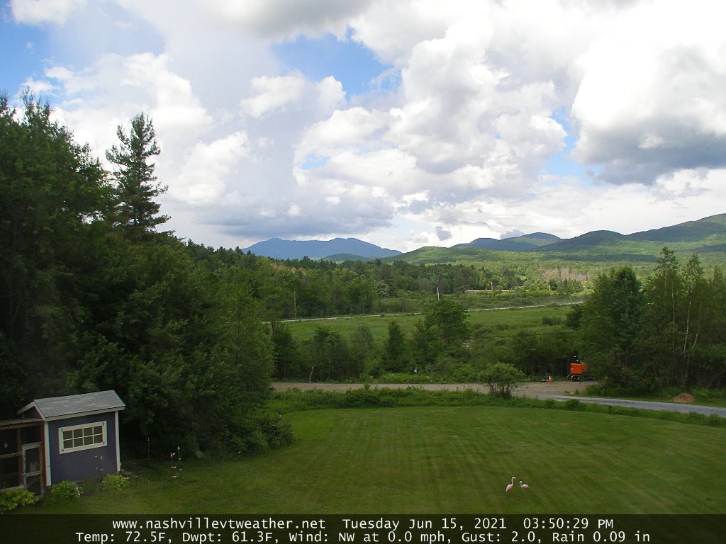
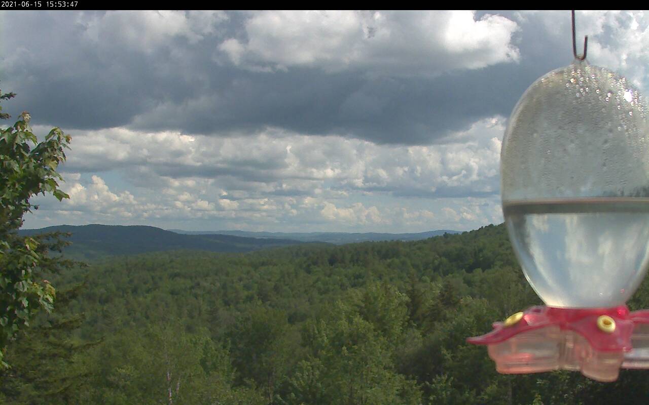
TOMORROW: Mixed sun and clouds, any leftover showers exiting early. An isolated shower or thunderstorm toward the Quebec border, possibly strong. Muggy. A high around 80. Southwest winds shifting to westerly 10 to 20 mph.

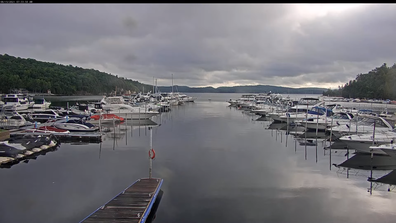
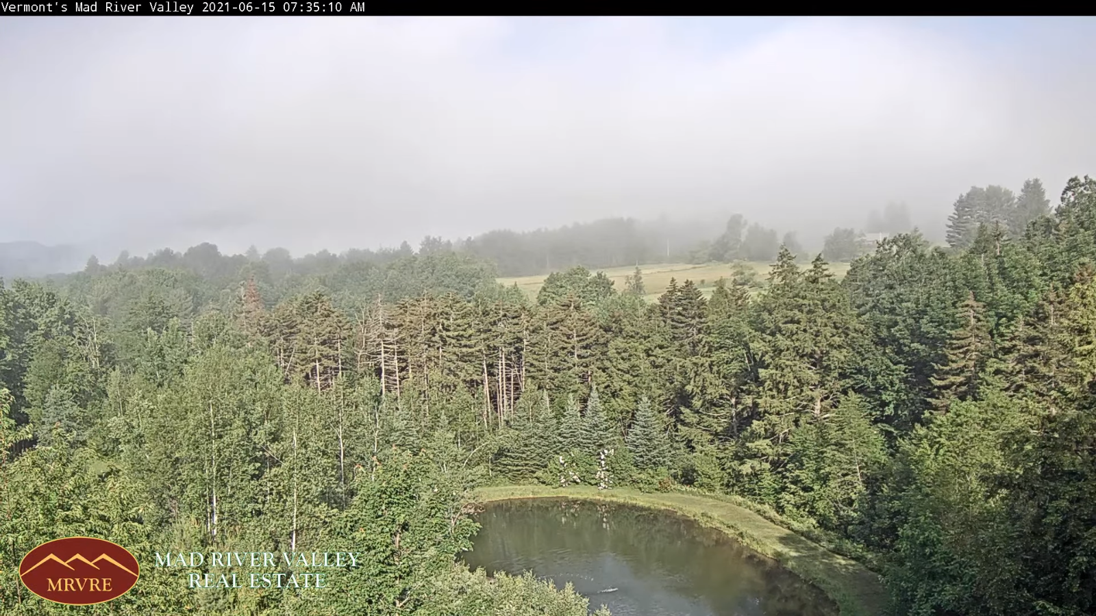
SATURDAY NIGHT: Some early evening clouds then clearing. Patchy valley fog. A low in the mid-50s. Light winds.

SUNDAY Father’s Day: Patchy valley fog burns off to partial sunshine with moderate humidity levels. A high around 80. West breeze 10 mph.

Looking further ahead…

Summer Solstice 11:31 PM late Sunday Evening

SUNDAY NIGHT: Mostly clear in the evening, more clouds overnight. A low upper 50s to near 60.

MONDAY: Warm and humid, with mixed clouds & sun. A high in the mid to upper 80s.

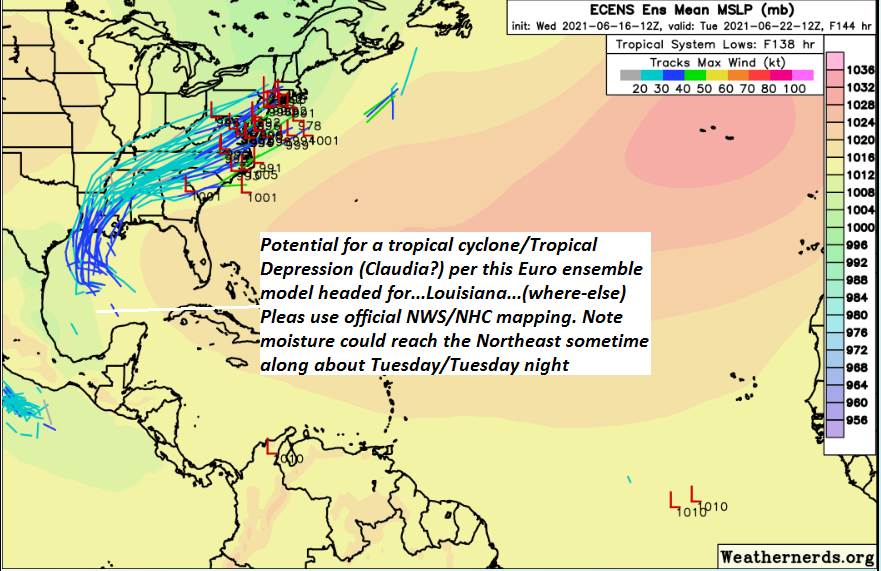
TUESDAY: Variable cloudiness. Warm and muggy. Chance for showers and thunderstorms, some locally heavy. A low 60 to 65. A high in the mid-70s.

WEDNESDAY: Mixed clouds and sun, cooler, much less humid. A low 50 to 55. A high upper 60s to near 70.

Average low in the low to mid 50s. Average highs in the mid-70s.

Meteorological summer peaks approx. July 22nd based off local climatology.

RH/6-17forecast][end]

Updated Friday morning forecast — June 18th, 2021

TODAY: Lots of sunshine becoming filtered thru high clouds…thickening up late. Warmer & more summer like. A high upper 70s to near 80. South to southwest winds 10 mph stronger near Lake Champlain.

TONIGHT: Mostly cloudy. Chance for showers developing early to mid-evening, maybe a rumble of thunder. Muggier. A low around 60. Light south wind.

SATURDAY: Mixed sun and clouds with any leftover showers exiting early. Widely scattered afternoon showers & thunderstorms toward the Quebec border, one or two could be locally strong. Muggy. A high around 80. Light southwest winds.

Looking further ahead…

SATURDAY NIGHT: Chance for a leftover shower or thunderstorm northern areas, otherwise partly cloudy. Patchy valley fog. A low in the mid-50s.

Summer Solstice 11:31 PM late Sunday Evening

SUNDAY Father’s Day: Patchy morning valley fog gives way to partial sunshine with moderate humidity levels. A high near 80.

MONDAY: Partly sunny, more clouds late. A low around 60. Humid. A high mid to upper 80s.

TUESDAY: Clouds mixing with more sunshine. Warm and muggy. Chance for showers and thunderstorms, some locally heavy. A low 60 to 65. A high around 80.

WEDNESDAY: Clouds with intervals of sunshine, cooler and much less humid. A low 50 to 55. A high 65 to 70.

Average low in the low to mid 50s. Average highs in the mid-70s.

Meteorological summer peaks approx. July 22nd based off local climatology.

RH/6-17forecast][end]

Updated Thursday Evening forecast — June 17th, 2021

TONIGHT: Mostly clear. Isolated valley fog. A low in the mid to upper 40s. Light southwest winds.

TOMORROW: Sunshine becoming filtered thru high clouds…thickening up late. Warmer & more summer like. A high mid-70s to near 80. South to southwest winds 10 mph stronger near Lake Champlain.

FRIDAY NIGHT: Lots of clouds. Rising chance for showers, maybe a rumble of thunder. Muggier. A low in the low 60s. Light south wind.

SATURDAY: Scattered morning showers gives way to intervals of sun. Scattered afternoon showers and thunderstorms…some could be strong and locally heavy across the north. Muggy. A high around 80. Light southwest winds.

Looking further ahead…

SATURDAY NIGHT: A round of evening showers and thunderstorms some heavy and strong, otherwise partly cloudy. Patchy valley fog. A low in the mid-50s.

Summer Solstice 11:31 PM late Sunday Evening

SUNDAY Father’s Day: Patchy morning valley fog gives way to partial sunshine with moderate humidity levels. A high near 80.

MONDAY: Partly sunny, more clouds late. Isolated late day thunderstorms. A low near 60. Humid. A high mid possibly upper 80s.

TUESDAY: Clouds with a few breaks of sun. Warm and muggy. Chance for showers and thunderstorms, some locally heavy. A low 60 to 65. A high 80 to 85.

Average low in the low to mid 50s. Average highs in the mid-70s.

Meteorological summer peaks approx. July 22nd based off local climatology.

RH/6-17forecast][end]

Updated Thursday morning Forecast — June 17th, 2021

TODAY: Morning sunshine with few more afternoon clouds. A high 70 to 75. Northwest winds 10 mph.

TONIGHT: Mostly clear. Isolated valley fog. A low 45 to 50. Light south winds.

FRIDAY: Sunshine becoming filtered thru high clouds…thickening up late. Warmer & more summer like. A high near 80. South to southwest winds 10 mph.

Looking further ahead…

FRIDAY NIGHT: Lots of clouds. Possible showers arriving later in the evening. Maybe a thunderstorm overnight. More muggy with a low near 60.

SATURDAY: Scattered showers early, gives way to intervals of sun. Scattered afternoon showers and thunderstorms…some could be strong and locally heavy. Muggy. A high upper 70s to near 80.

Summer Solstice 11:31 PM late Sunday Evening

SUNDAY Father’s Day: Patchy morning valley fog gives way to partial sunshine with moderate humidity levels. Chance for an afternoon shower or thunderstorm. A low 55 to 60. A high upper 70s to near 80.

MONDAY: Partly sunny, more clouds late. A low around 55. Humid. A high around 85.

TUESDAY: Clouds with a few breaks of sun. Warm and muggy. Possible showers & thunderstorms returning. A low 60 to 65. A high 80 to 85.

Average low in the low to mid 50s. Average highs in the mid-70s.

Meteorological summer peaks approx. July 22nd based off local climatology.

RH/6-17forecast][end]

Updated Wednesday evening forecast — June 16th, 2021

TONIGHT: Mostly clear & cool, with isolated valley fog. A low around 45. Light southwest winds.

TOMORROW: Morning sunshine with more clouds in the afternoon. A high 70 to 75. Northwest winds 10 mph.

THURSDAY NIGHT: Mostly clear. Isolated valley fog. A low 45 to 50. Light south winds.

FRIDAY: Morning sunshine filtered through high clouds. Thickening clouds late. A bit muggier & warmer. A high near 80. South to southwest winds 10 mph.

Looking further ahead…

FRIDAY NIGHT: Lots of clouds. Chance for showers developing later in the evening. A low around 60.

SATURDAY: Scattered showers early, gives way to intervals of sun. Isolated showers and possible thunderstorms. A high upper 70s to near 80.

Summer Solstice 11:31 PM late Sunday Evening

SUNDAY Father’s Day: Patchy morning valley fog. Chance for showers or a period of rain early, tapering to isolated showers in the afternoon. Otherwise clouds mixing with periods of afternoon sun. A low 55 to 60. A high 75 to 80.

MONDAY: Partly sunny, more clouds late. A low around 55. A high in the low 80s

TUESDAY: Clouds with a few breaks of sun. Muggy and warm. Possible showers & thunderstorms. A low 60 to 65. A high 80 to 85.

Average low in the low to mid 50s. Average highs in the mid-70s.

Meteorological summer peaks approx. July 22nd based off local climatology.

RH/6-15forecast][end]

Updated Wednesday Morning Forecast — June 16th, 2021

TODAY: Lots of sunshine. More clouds than sun this afternoon northern and central areas. Cool with a high 65 to around 70. Northwest breeze 10 to 15 mph.

TONIGHT: Mostly clear & cool, with isolated valley fog. A low around 45. Light southwest winds.

THURSDAY: Morning sunshine with more clouds in the afternoon. A high low to mid 70s. Light west winds.

Looking further ahead…

THURSDAY NIGHT: Mostly clear. Isolated valley fog. A low 45 to 50.

FRIDAY: Morning sunshine filtered through high clouds. Thickening clouds late. Warmer with a high near 80. Small threat for showers develops later Friday evening.

SATURDAY: Mixed sun and clouds. Chance for showers & scattered afternoon thunderstorms. A low around 60. A high mid-70s to near 80.

Summer Solstice 11:31 PM late Sunday Evening

SUNDAY Father’s Day: Patchy valley fog. Chance for a few lingering light showers far northern areas. Otherwise clouds mixing with periods of afternoon sunshine. A low around 55. A high near 75.

MONDAY: Partly sunny and turning warmer. A low around 55. A high near 80.

Average low in the low to mid 50s. Average highs in the mid-70s.

Meteorological summer peaks approx. July 22nd based off local climatology.

RH/6-15forecast][end]

Updated Tuesday Evening Forecast — June 15th, 2021

TOMORROW: Morning sunshine with then mostly cloudy in the afternoon, especially northern areas. Cool, but the start of warming trend. A high mid to upper 60s. Northwest winds 10 to 15 mph.

WEDNESDAY NIGHT: Mostly clear & cool, with patchy valley fog. A low mid-40s. Light southwest winds.

THURSDAY: Morning sunshine with more clouds in the afternoon. A high 70 to 75. Light west winds.

Looking further ahead…

THURSDAY NIGHT: Mostly clear. A low 45 to 50.

FRIDAY: Morning sunshine filtered through high clouds. Thickening clouds late. Warmer with a high near 80. Small threat for a showers develops later Friday evening.

SATURDAY: Mixed sun and clouds. Chance for scattered showers & afternoon thunderstorms. A low near 60. A high mid-70s to near 80.

Summer Solstice 11:31 PM late Sunday Evening

SUNDAY Father’s Day: Chance for a few lingering light showers far northern areas. Otherwise clouds mixing with periods of afternoon sunshine. A low around 55. A high 70 to 75.

MONDAY: Partly sunny and turning warmer. A low in the 50s. A high near 80.

Average low in the low to mid 50s. Average highs in the mid-70s.

Meteorological summer peaks approx. July 22nd based off local climatology.

RH/6-14forecast][end]

Updated Tuesday Morning forecast — June 15th, 2021

TODAY: Morning clouds mixing with intervals of sunshine. Scattered showers and a few isolated brief thunderstorms possible this afternoon especially northern areas. A high in the lower 70s. Southwest 10 mph winds shifting to northwesterly late.

TONIGHT: Showers and isolated thunderstorms diminishing. Otherwise, gradually clearing. A low in the upper 40s. Light northwest winds.

WEDNESDAY: Morning sunshine with then mostly cloudy in the afternoon, especially northern areas. Cool, but the start of warming trend. A high around 65. Northwest winds 10 to 15 mph.

Looking further ahead…

WEDNESDAY NIGHT: Mostly clear & cool, with patchy valley fog. A low mid to upper 40s.

THURSDAY: Morning sun, then mostly cloudy in the afternoon. A high around 70.

FRIDAY: Morning sunshine gives way to cloudy periods. Turning warmer. A low 45 to 50. A high pushing near 80. Chance for a shower Friday evening.

SATURDAY: Mostly cloudy. Scattered showers. Chance for afternoon thunderstorms. A low near 60. A high 75 to 80.

SUNDAY: Chance for a few lingering light showers. Otherwise clouds mixing with periods of afternoon sunshine. A low 55 to 60. A high 70 to 75.

Average low in the low to mid 50s. Average highs in the mid-70s.

Meteorological summer peaks approx. July 22nd based off local climatology.

RH/6-14forecast][end]

Updated Monday Evening Forecast — June 14th, 2021

TONIGHT: Scattered evening showers & a few thunderstorms possible, especially western areas, some locally heavy. Otherwise, considerable cloudiness and cool. A low in the mid to upper 50s. Light south winds.

TOMORROW: Clouds mixed with intervals of sunshine. A round of showers and thunderstorms in the afternoon, one or two possibly strong and locally heavy especially northern/western areas. A high in the lower 70s. Southwest 10 mph winds shifting to northwesterly late.

TUESDAY NIGHT: Chance for showers, and a few thunderstorms winding down mid evening. Otherwise, gradually clearing. A low in the upper 40s to near 50. Light northwest winds.

WEDNESDAY: Morning sunshine with afternoon clouds especially northern areas. Remaining rather cool. Start of warming trend. A high mid-60s. Northwest winds 10 to 15 mph.

Looking further ahead…

WEDNESDAY NIGHT: Mostly clear & cool, with patchy valley fog. A low mid to upper 40s.

THURSDAY: Morning sunshine with more afternoon clouds. A high around 70.

FRIDAY: Morning sunshine gives way to cloudy periods. Turning warmer. A low 45 to 50. A high pushing near 80.

SATURDAY: Considerable cloudiness. Scattered showers with a chance for late afternoon thunder. A low near 60. A high near 80.

Average low in the low to mid 50s. Average highs in the mid-70s.

Start of Meteorological Summer June in progress peaks approx. July 22nd based off local climatology.

RH/6-14forecast][end]

Updated Monday Morning Forecast — June 14th, 2021

TODAY: Generally gray, cool and unsettled. Numerous showers and a few isolated thunderstorms this morning, and again this afternoon. A few storms with locally heavy downpours. A high upper 60s to near 70. South to southeast winds 10 to 15 mph.

TONIGHT: Evening showers and with a few thunderstorms especially western areas, some locally heavy. Otherwise, considerable cloudiness and cool. A low near 55. Light south to southwest winds.

TUESDAY: Clouds mixed with intervals of sunshine. A round of showers and thunderstorms in the afternoon, one or two possibly strong and locally heavy. A high in the low 70s. Southwest winds shifting to northwesterly 10 mph.

Looking further ahead…

TUESDAY NIGHT: Chance for lingering evening showers, and a few thunderstorms winding down before midnight. A low in the upper 40s to near 50

WEDNESDAY: Morning sunshine with afternoon clouds. Remaining rather cool. Start of warming trend. A high mid to upper 60s.

THURSDAY: Morning sunshine with more afternoon clouds. A low around 45. A high around 70.

FRIDAY: Morning sunshine gives way to high cloudiness. Turning warmer. A low 45 to 50. A high mid-70s to near 80.

Average low in the low to mid 50s. Average highs in the mid-70s.

Start of Meteorological Summer June in progress peaks approx. July 22nd based off local climatology.

RH/6-14forecast][end]