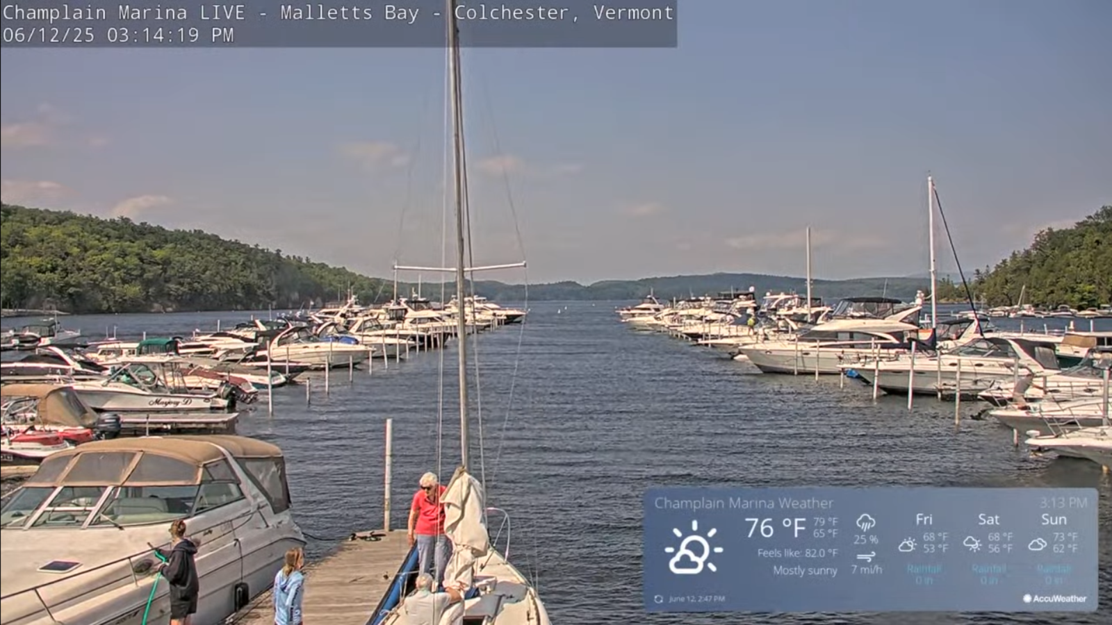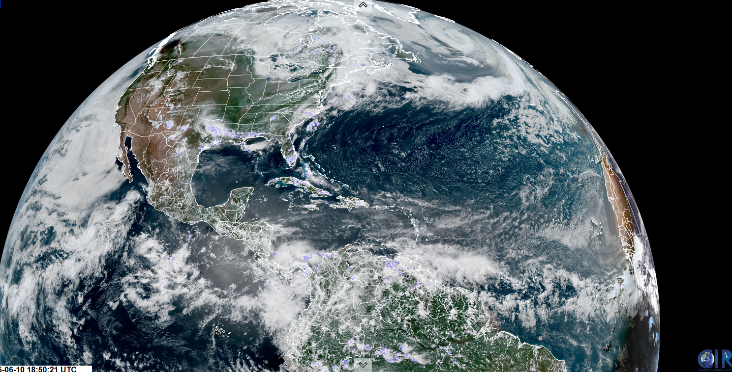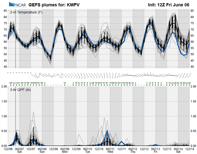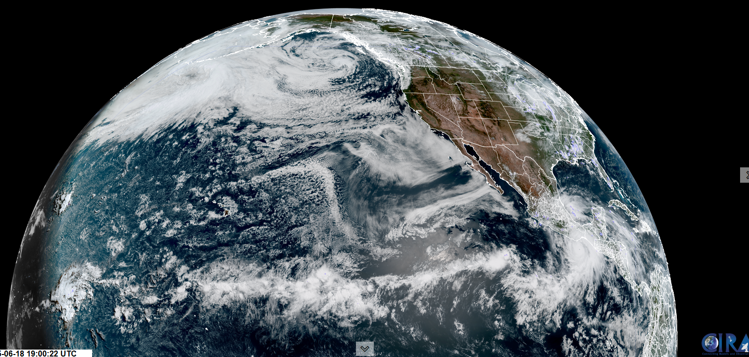
Roger Hill’s Radio Vermont Forecast 3:00 PM WEDNESDAY 6-18-25
TONIGHT: Becoming mostly clear this evening, then more clouds overnight. Kind of muggy. A low in the mid-60s. Light southwest winds.
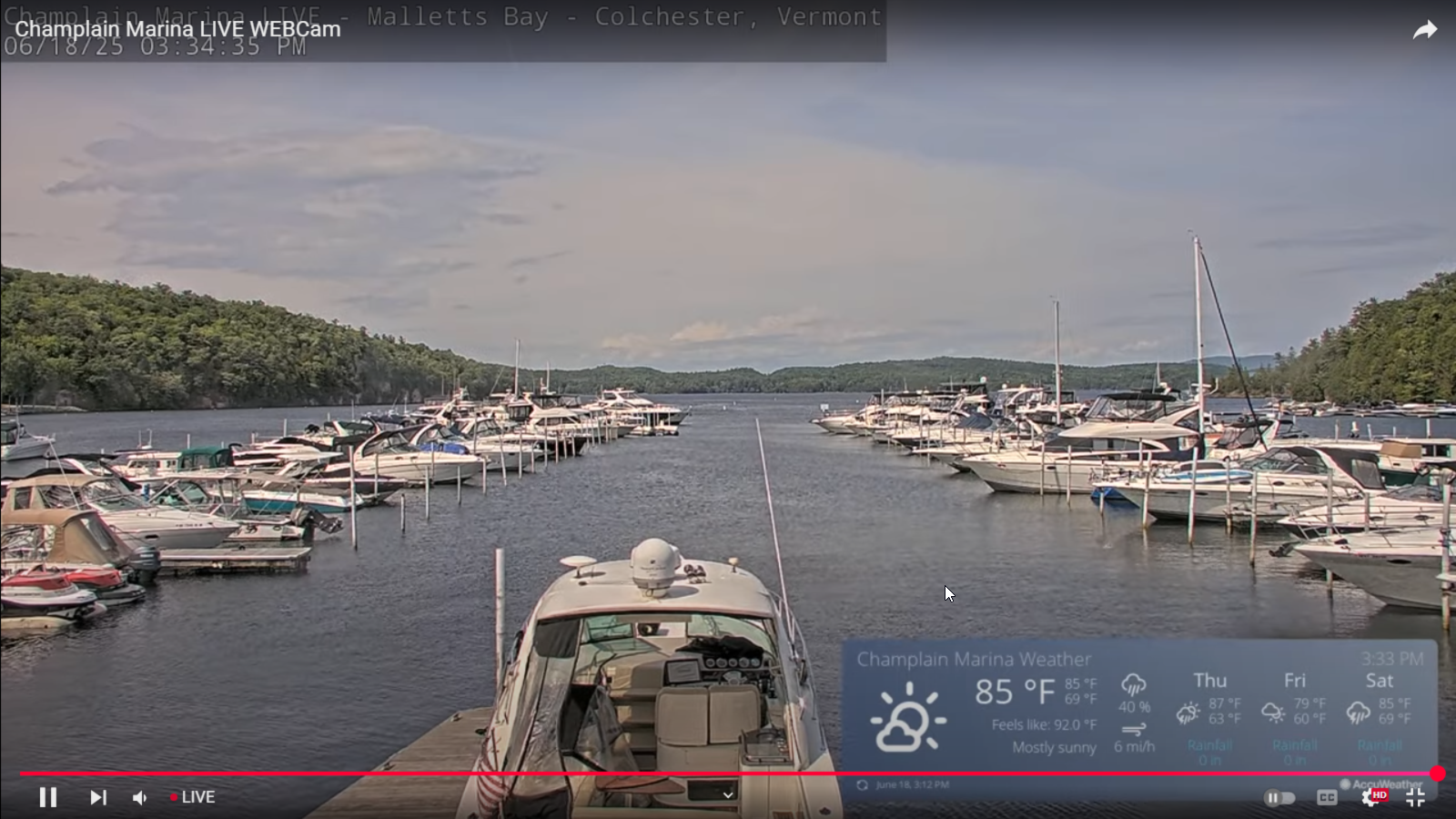
TOMORROW: Partial morning sun then cloudy periods. Scattered late afternoon showers and thunderstorms especially western areas with gusty winds and briefly heavy rain. Warm & humid. A high near 85. South to southwest winds 10 to 15 mph.
THURSDAY NIGHT: Variable clouds. Widely scattered early evening showers and thunderstorms diminish. A second round of showers northern areas overnight. Becoming much less humid. A low upper 50s near 60. Southwest winds shifting to westerly 10 to 20 mph.
FRIDAY: Lots of sunshine. Showers likely northern areas…mainly in the morning. Breezy. A high in the low 70s. West to northwest winds 10 to 25 mph.
Looking further ahead
Summer Solstice June 20th 10:41 PM EDT
FRIDAY NIGHT: Mostly clear. Lows mid to upper 50s
SATURDAY: Sunshine becoming filtered by high cloudiness. Increasingly more humid in the afternoon. A late day high around 80.
SUNDAY: Good chance for early morning showers…maybe a thunderstorm northern areas exiting before noon. Otherwise becoming mostly sunny. Oppressive humidity levels. A low upper 60s/near 70. A high 80 to 85.
MONDAY: Mostly sunny Hot & sticky. A low 65 to 70. Highs low 90s with (heat indices upper 90s near 100)
Average low: low to mid-50s. Average highs: mid to upper 70s
Peak of Meteorological Summer July 22nd.
Admin: Summer Vacation 1 month after 4th of July. Fox Trot Delta Tango
RH/6-13[forecast][end]